The best walks and hikes around Norddeich
4.6
(2775)
16,165
hikers
294
hikes
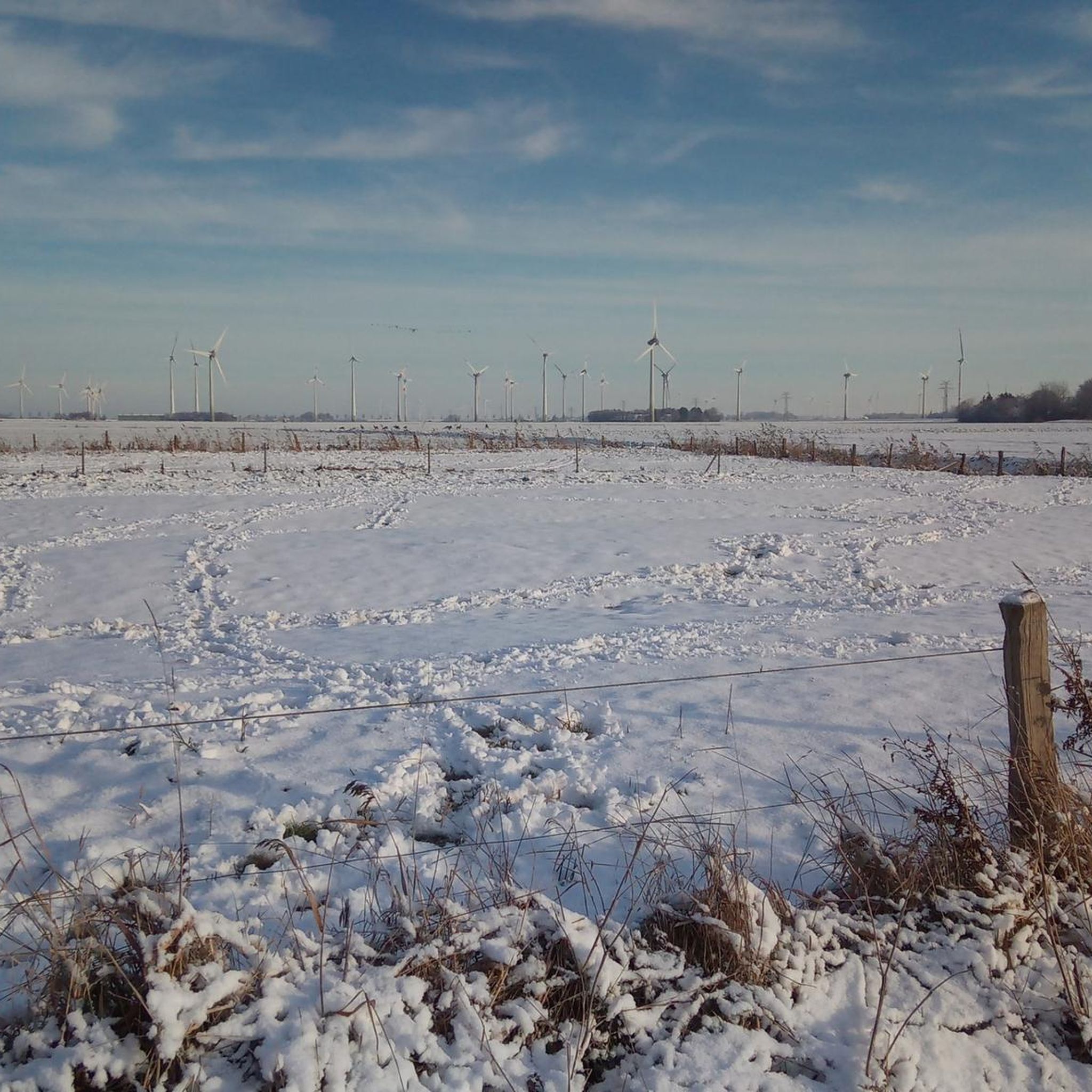
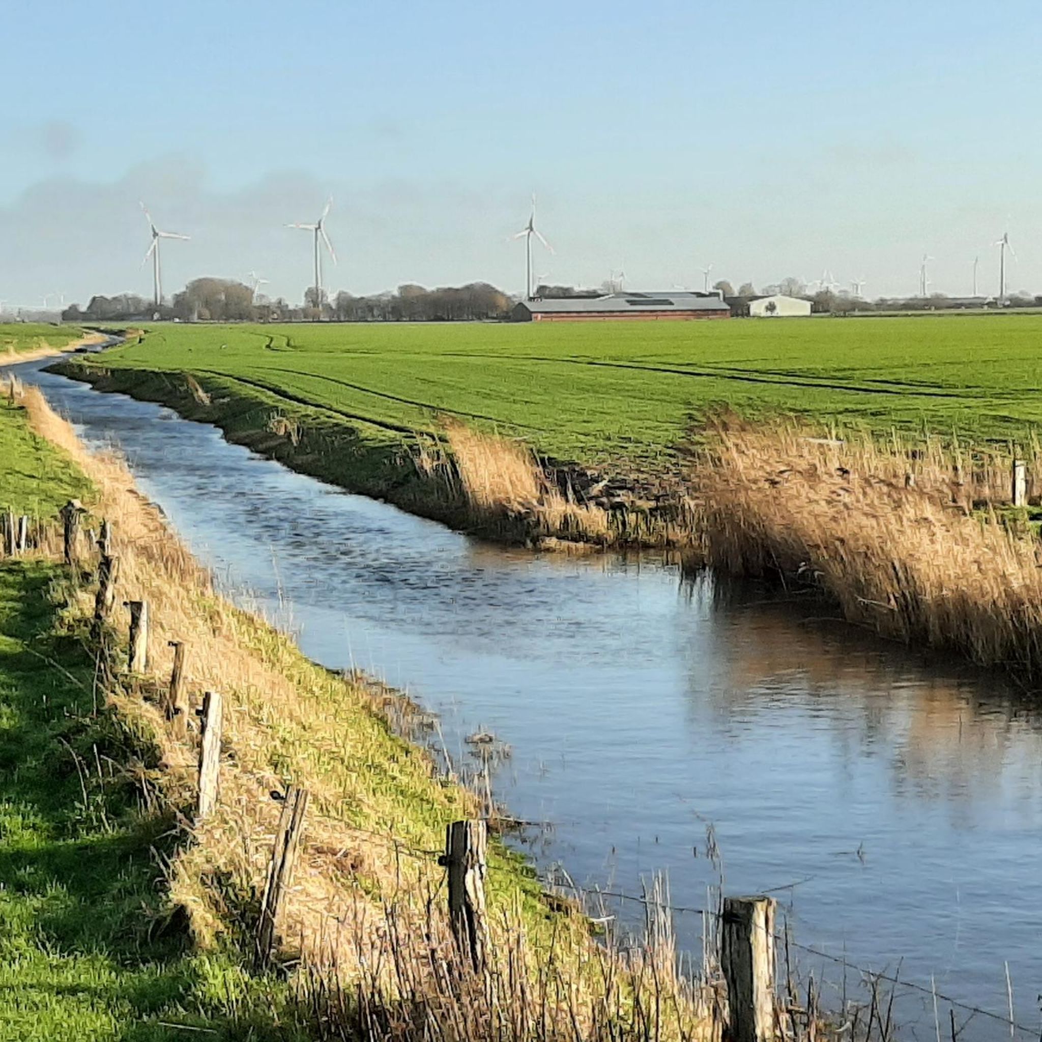
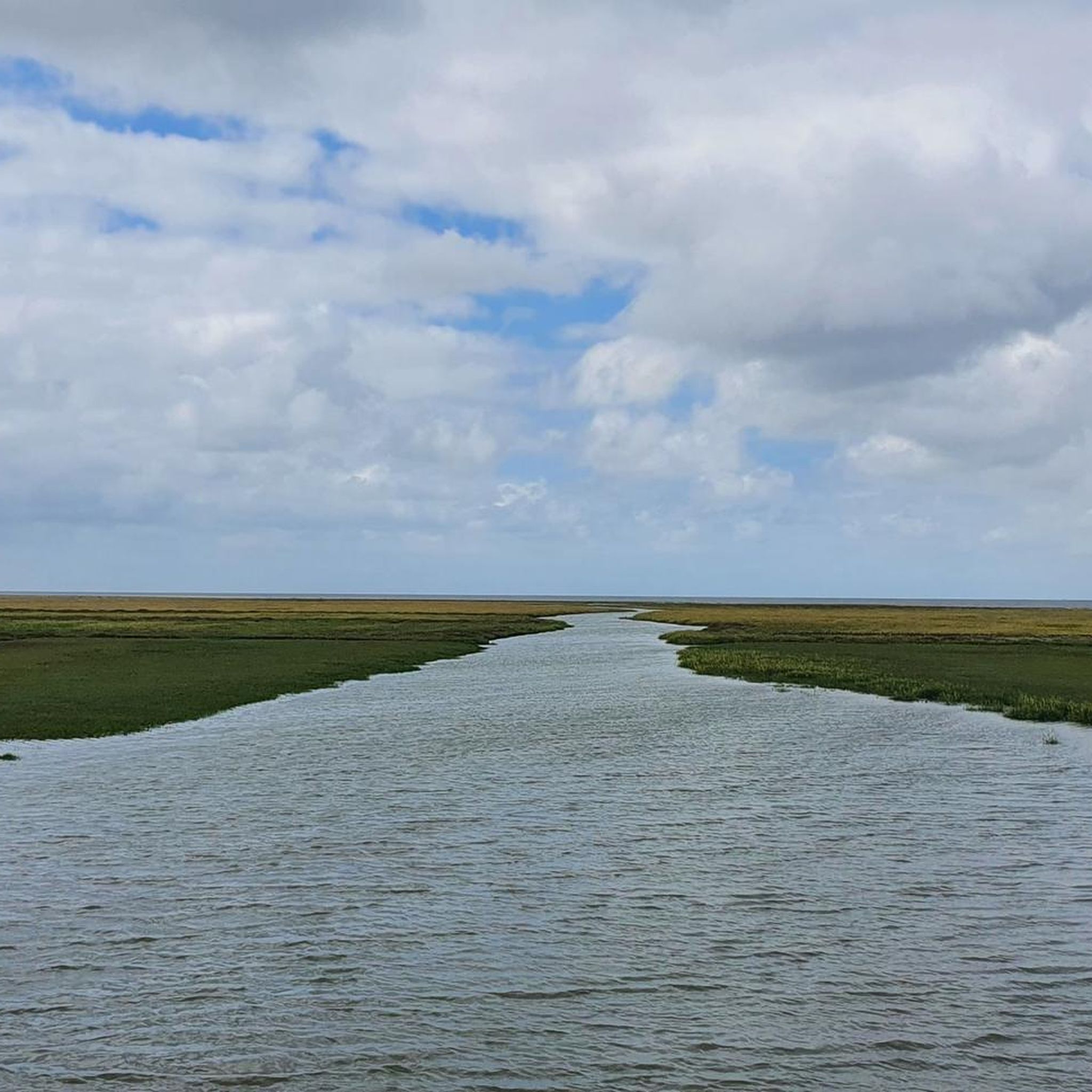
Hiking around Norddeich offers diverse terrain characterized by its coastal location in Lower Saxony, Germany. The region features direct access to the Wadden Sea, a UNESCO World Heritage Site, with unique tidal flats and salt marshes. Expansive sandy beaches and dune landscapes are prominent, alongside dikes that protect the low-lying areas. The overall elevation is generally low, providing accessible paths for various hiking experiences.
Best hiking trails around Norddeich
- The most popular hiking route is View of Wesselburen Church –…
Last updated: June 26, 2026
4.8
(6)
22
hikers
Moderate hike. Good fitness required. Easily-accessible paths. Suitable for all skill levels.
5.0
(7)
16
hikers
Hard hike. Very good fitness required. Easily-accessible paths. Suitable for all skill levels.

Sign up for free
5.0
(5)
12
hikers
6.77km
01:42
10m
10m
Easy hike. Great for any fitness level. Easily-accessible paths. Suitable for all skill levels.
4.9
(14)
31
hikers
14.6km
03:41
20m
20m
Moderate hike. Good fitness required. Easily-accessible paths. Suitable for all skill levels.
5.0
(1)
6
hikers
5.91km
01:29
10m
10m
Easy hike. Great for any fitness level. Easily-accessible paths. Suitable for all skill levels.
Get access to more routes and recommendations from other explorers.
Sign up for free
Already have an account?
Our route recommendations are based on thousands of hikes, rides, and runs completed by other people on komoot.
Start today with a free account
Your next adventure awaits.
Login or Signup
Tips from the Community

Great view, but otherwise a totally ugly asphalt embankment that you wouldn't enjoy walking on for miles.
0
0
I'd only go there occasionally, enjoy the view, and then return to the road. This asphalt dike isn't otherwise great for hiking. In midsummer, the asphalt might get too hot for dog paws.
0
0

If you want to go from the city center to the canal packing house, you cross the harbor over this white bascule bridge.
3
0

This impressive structure with its massive dykes provides reliable protection from the storm surges of the North Sea. On the land side, the wide Eider estuary extends as far as Tönning, and at low tide, mudflats are created that serve as a source of food for numerous bird species.
4
0

Great bascule bridge makes you feel like you're in Holland and is always a nice photo opportunity
3
0

Unfortunately it is permanently closed.
1
0

The eye-catcher in the harbor is the wooden drawbridge called the "White Bridge", which spans the peat harbor where the peat barges used to be unloaded. You can reach the promenade at the historic harbor
5
0

🚶♀️Bridge in Tönniger Hafen
5
0
Frequently Asked Questions
How many hiking trails are available in Norddeich?
Norddeich offers a wide variety of hiking experiences, with over 300 routes available. These range from easy strolls along the coast to more challenging long-distance paths, ensuring options for every fitness level.
What kind of terrain can I expect when hiking around Norddeich?
The terrain around Norddeich is primarily characterized by its coastal location. You'll find unique tidal flats of the Wadden Sea, expansive sandy beaches, and dune landscapes. The area also features dikes and salt marshes, offering generally low elevation paths suitable for various hiking experiences.
What is the best time of year to go hiking in Norddeich?
Norddeich's coastal climate makes it enjoyable for hiking throughout much of the year. Spring and summer offer pleasant temperatures for exploring the beaches and Wadden Sea. Autumn provides a unique atmosphere with changing light, while winter hikes can be invigorating, especially along the dikes, offering crisp air and quiet landscapes. The region's 'healing climate' is beneficial year-round.
Are there easy hiking trails suitable for beginners or families in Norddeich?
Yes, Norddeich is very accommodating for beginners and families. Over 200 of the available routes are classified as easy. Many trails are gentle circular routes across the lowlands, such as the Stiller Landweg – Café (Pellworm) loop from Wesselburen, which is an easy 4.1-mile path. The National Park promenade also offers barrier-free sections along the dike, dunes, and beach.
Can I hike with my dog in Norddeich?
Many areas around Norddeich are dog-friendly, particularly along the dikes and designated paths. However, it's important to keep dogs on a leash, especially in nature reserves like the Wadden Sea, to protect wildlife. Always check local signage for specific restrictions, especially on beaches during peak season.
Are there circular hiking routes available in Norddeich?
Yes, Norddeich offers numerous circular hiking routes, perfect for exploring the diverse landscapes without retracing your steps. Examples include the Stiller Landweg loop from Wesselburen, which leads through open landscapes, and the 'Norddeich Dike Crest – View of the North Sea loop' mentioned in regional information.
What natural features or landmarks can I see while hiking in Norddeich?
While hiking in Norddeich, you can explore the unique Wadden Sea, a UNESCO World Heritage Site, with its tidal flats and salt marshes. You'll also encounter expansive sandy beaches, dune landscapes, and protective dikes. Notable landmarks nearby include the impressive Eider Barrage and the charming town of Tönning with its historic harbor.
Are there any specific viewpoints or observation points along the trails?
Yes, the region offers several excellent viewpoints. You can find observation points within the Wöhrdener Loch Nature Reserve and the Katinger Watt Nature Reserve, such as the Kiek-Ut view and the Kattinger Watt Observation Tower, providing fantastic opportunities to observe the unique coastal ecosystem and its wildlife.
How can I reach the hiking trailheads in Norddeich using public transport?
Norddeich is well-connected, and many trailheads are accessible via local public transport. The town's harbor is a central point, and local bus services often connect to various starting points for hikes along the coast and into the surrounding nature. It's advisable to check local bus schedules for specific routes to your chosen trailhead.
What do other hikers enjoy the most about hiking in Norddeich?
The hiking trails in Norddeich are highly rated by the komoot community, with an average score of 4.6 stars from over 2,500 reviews. Hikers often praise the unique coastal landscapes, the tranquility of the salt marshes, and the well-maintained paths along the dikes. The opportunity to experience the Wadden Sea's natural beauty is a frequently highlighted aspect.
Are there any more challenging long-distance hikes in the Norddeich area?
While many routes are easy, Norddeich also offers options for those seeking more demanding hikes. For example, the View of the Eider Barrage – White Bridge, Tönning loop from Wesselburenerkoog is a difficult 16.8-mile (27.1 km) path that requires good fitness and offers extensive views of the Eider Barrage and surrounding areas.
Can I find cafes or restaurants directly on the hiking trails in Norddeich?
While not every trail will have a cafe directly on it, many routes pass through or near charming coastal villages and towns where you can find cafes and restaurants. The Stiller Landweg – Café (Pellworm) loop from Wesselburen specifically highlights a café stop, and the proximity to Norddeich's town center means refreshments are usually not far from most coastal paths.
Most popular attractions around Norddeich

Get inspired with the komoot mobile app


Explore more
Browse the best Hikes in other regions.
