Fjords de l’Ouest de la Norvège – Geirangerfjord et Nærøyfjord
Fjords de l’Ouest de la Norvège – Geirangerfjord et Nærøyfjord
The best cycling routes around Fjords de l’Ouest de la Norvège – Geirangerfjord et Nærøyfjord
4.7
(531)
4,765
riders
16
rides
Touring cycling routes around Fjords de l’Ouest de la Norvège – Geirangerfjord et Nærøyfjord navigate a landscape characterized by dramatic fjords, steep-sided mountains, and cascading waterfalls. The region features winding mountain roads with hairpin bends and significant elevation changes, carved by glacial activity. These routes often lead through valleys with free-flowing rivers and past glacial lakes, offering varied terrain for cyclists. The area is recognized for its UNESCO World Heritage-listed scenery, providing a unique backdrop for cycling.
Best touring cycling routes around Fjords de l’Ouest de la Norvège – Geirangerfjord et Nærøyfjord
- The most popular touring cycling route is Djupvatnet Frozen Lake – Dalsnibba Mountain Road loop from Geiranger, a 24.2 miles (39.0 km) trail that takes 3 hours 26 minutes to complete. This difficult route features significant elevation gain on a mountain road with panoramic views.
- Another top favourite among local touring cyclists is View of Geiranger – Dalsnibba Mountain Road loop from Geiranger, a difficult 26.2 miles (42.2 km) path. This route ascends the Dalsnibba Mountain Road, offering expansive views of the Geirangerfjord and surrounding peaks.
- Local touring cyclists also love the Korsmyra Viewpoint – Eidsdalvatnet loop from Geiranger, a 26.9 miles (43.2 km) trail leading through mountain passes and past viewpoints, often completed in about 3 hours 18 minutes.
- Touring cycling around Fjords de l’Ouest de la Norvège – Geirangerfjord et Nærøyfjord is defined by dramatic fjords, steep mountain roads, and numerous waterfalls. The network offers options for easy, moderate, and difficult routes, catering to different ability levels.
- The routes in Fjords de l’Ouest de la Norvège – Geirangerfjord et Nærøyfjord are highly rated by the komoot community with an average score of 4.7 stars from over 290 reviews. More than 2600 touring cyclists have used komoot to explore Fjords de l’Ouest de la Norvège – Geirangerfjord et Nærøyfjord's varied terrain.
Last updated: July 13, 2026
4.7
(17)
255
riders
39.0km
03:26
1,460m
1,460m
Hard bike ride. Very good fitness required. Mostly paved surfaces. Suitable for all skill levels.
4.7
(18)
185
riders
40.4km
03:35
1,510m
1,510m
Hard bike ride. Very good fitness required. Mostly paved surfaces. Suitable for all skill levels.

Sign up for free
5.0
(26)
161
riders
43.2km
03:18
1,090m
1,090m
Hard bike ride. Very good fitness required. Mostly paved surfaces. Suitable for all skill levels.
4.8
(17)
165
riders
17.3km
01:15
330m
330m
Moderate bike ride. Good fitness required. Mostly paved surfaces. Suitable for all skill levels.
4.5
(13)
127
riders
15.8km
01:00
120m
120m
Easy bike ride. Great for any fitness level. Mostly paved surfaces. Suitable for all skill levels.
Get access to more routes and recommendations from other explorers.
Sign up for free
Already have an account?
Our route recommendations are based on thousands of hikes, rides, and runs completed by other people on komoot.
Start today with a free account
Your next adventure awaits.
Login or Signup
Popular around Fjords de l’Ouest de la Norvège – Geirangerfjord et Nærøyfjord
Hiking around Fjords de l’Ouest de la Norvège – Geirangerfjord et Nærøyfjord
Road Cycling Routes around Fjords de l’Ouest de la Norvège – Geirangerfjord et Nærøyfjord
Running Trails around Fjords de l’Ouest de la Norvège – Geirangerfjord et Nærøyfjord
MTB Trails around Fjords de l’Ouest de la Norvège – Geirangerfjord et Nærøyfjord

Mountain Hikes around Fjords de l’Ouest de la Norvège – Geirangerfjord et Nærøyfjord
Tips from the Community

Here, too, one can see the enormous power of water.
0
0

The Fjordsenter is both a tourist information center and a museum, and offers a modern exhibition with lots of interesting information about the Geirangerfjord, its nature and the history of the place.
3
0

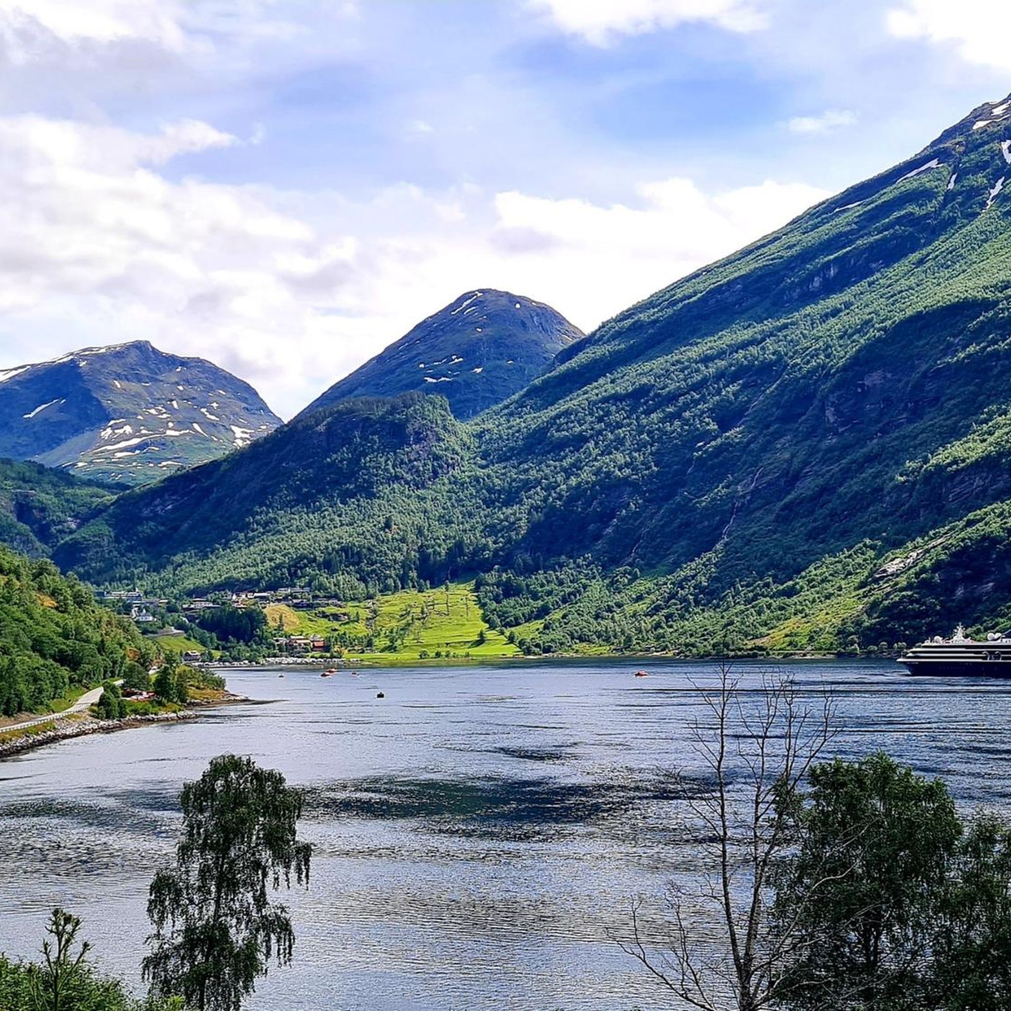
Great view of the fjord and the ship. The effort is worth it.
3
0

Facts about the Geirangerfjord The fjord is 15 km long, 1.5 km wide at its widest point, and 700 m deep at its deepest point. The area, which has been declared a UNESCO World Heritage Site, covers 498 km² and includes the fjord and the surrounding areas in the Stranda and Norddal counties.
1
0
Facts about the Geirangerfjord The fjord is 15 km long, 1.5 km wide at its widest point, and 700 m deep at its deepest point. The area, which has been declared a UNESCO World Heritage Site, covers 498 km² and includes the fjord and the surrounding areas in the Stranda and Norddal counties.
1
0
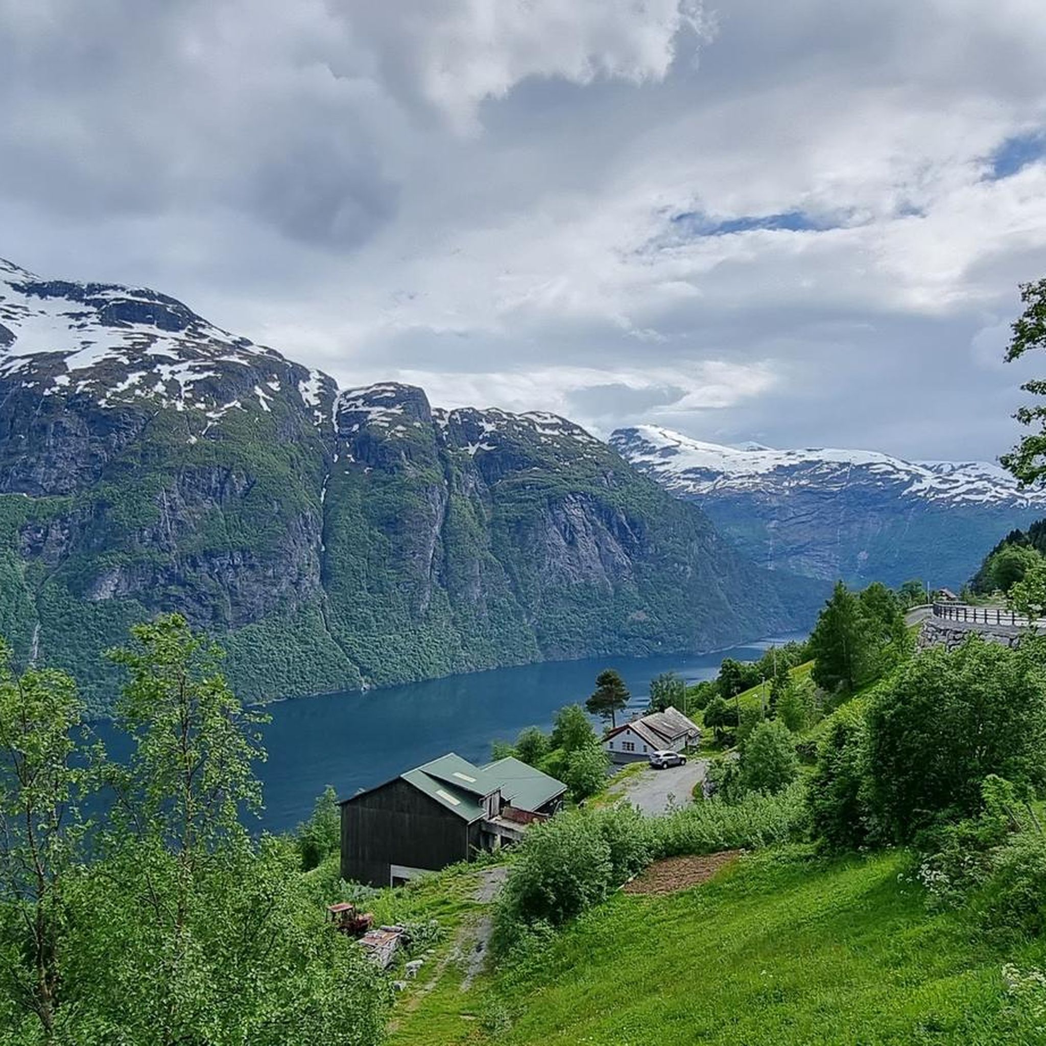
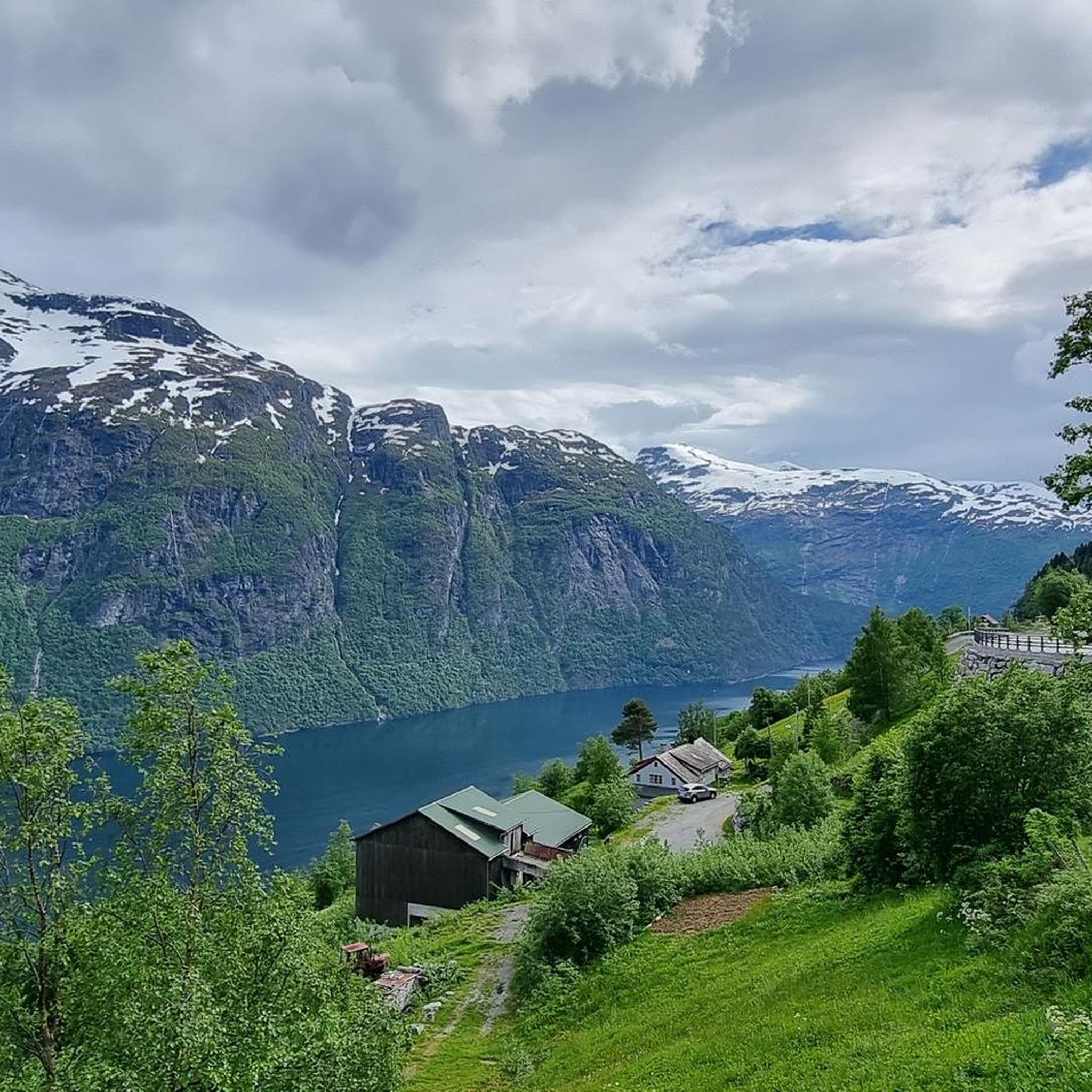
Numerous waterfalls and free-flowing rivers, deciduous and coniferous woodlands and forests, glacial lakes, glaciers, rugged mountains and a range of other natural attributes combine towards making Geirangerfjord and Nærøyfjord among the most scenically outstanding landscapes in the world.
1
0
Numerous waterfalls and free-flowing rivers, deciduous and coniferous woodlands and forests, glacial lakes, glaciers, rugged mountains and a range of other natural attributes combine towards making Geirangerfjord and Nærøyfjord among the most scenically outstanding landscapes in the world.
1
0

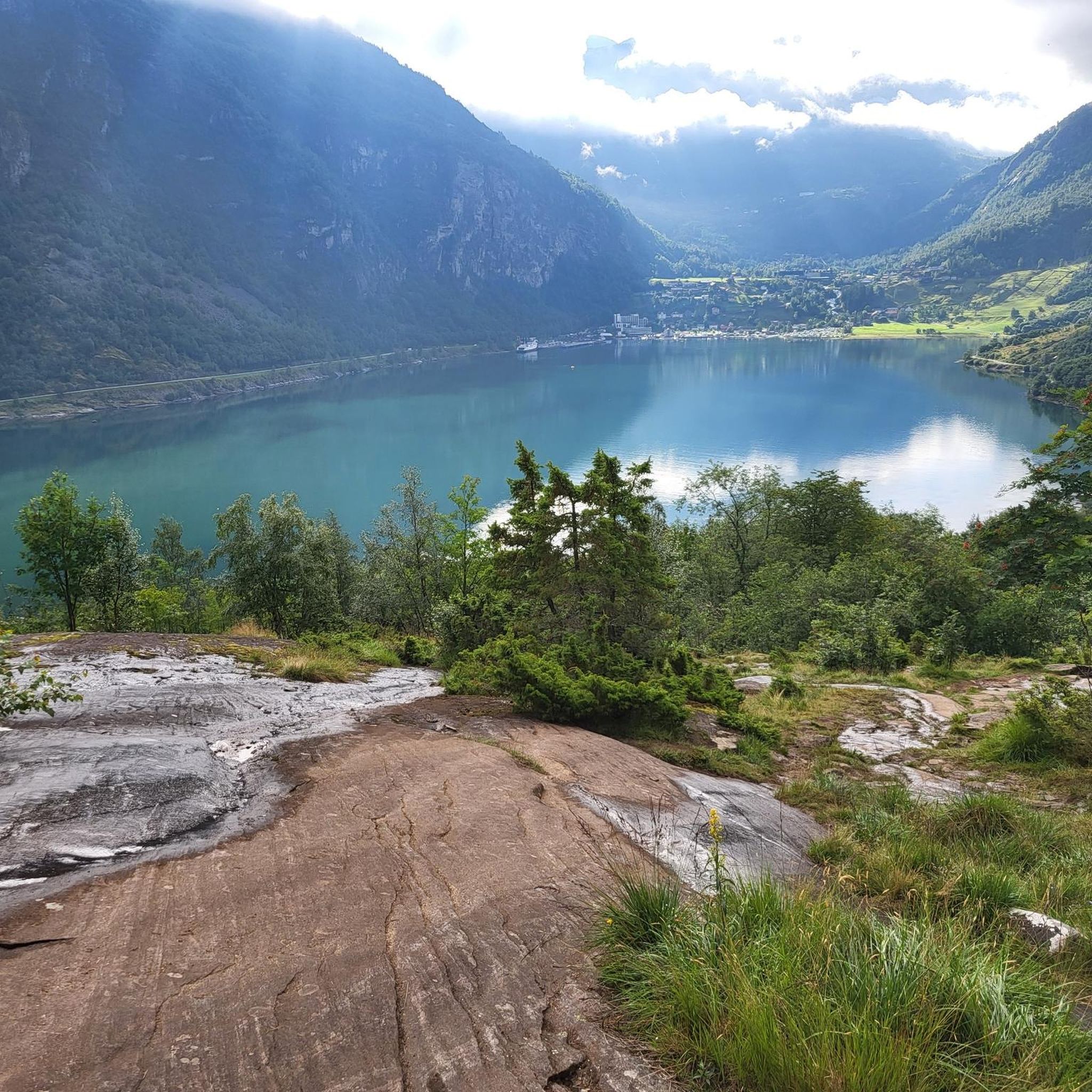
Great views of Geiranger, the Geirangelva River, and the fjord. The center has a café, restrooms, and a museum.
0
0
Frequently Asked Questions
How many touring cycling routes are available in the Fjords de l’Ouest de la Norvège – Geirangerfjord et Nærøyfjord region?
There are 17 touring cycling routes available in the Fjords de l’Ouest de la Norvège – Geirangerfjord et Nærøyfjord region. These include 5 easy, 5 moderate, and 7 difficult routes, catering to various skill levels.
What is the best time of year for touring cycling in the Norwegian fjords?
The best time for touring cycling in the Norwegian fjords is typically during the late spring, summer, and early autumn months (May to September). During this period, the weather is generally milder, roads are clear of snow, and daylight hours are long, allowing for optimal exploration of the dramatic landscapes and scenic routes.
Are there routes suitable for beginners or families in the Geirangerfjord and Nærøyfjord areas?
Yes, there are several routes suitable for beginners and families. For example, the Flåm Railway Museum – Red rorbuer in Flåm loop from Flåm is an easy 15.7 km route with minimal elevation gain, perfect for a relaxed family ride. The region offers 5 easy routes in total.
What kind of terrain can I expect on these cycling routes?
You can expect a diverse and often challenging terrain. Routes navigate dramatic fjords, steep-sided mountains, and valleys with free-flowing rivers. Many feature winding mountain roads with significant hairpin bends and considerable elevation changes, especially in areas like the Dalsnibba Mountain Road. The landscape is carved by glacial activity, offering a unique and grand cycling experience.
Are there any routes that feature waterfalls?
Yes, the region is famous for its numerous waterfalls. While specific cycling routes may not directly pass behind them, you will encounter many ribbon-like cascades along the fjord roads. Notable waterfalls like the Seven Sisters, Friaren, and Brudesløret are prominent in Geirangerfjord, and the Tvinde waterfall is near Nærøyfjord. You can also explore highlights like Storfossen Waterfall (Geiranger) or Storseter Falls.
What are some notable viewpoints or landmarks I can cycle to?
Many routes lead to spectacular viewpoints. The Djupvatnet Frozen Lake – Dalsnibba Mountain Road loop from Geiranger and View of Geiranger – Dalsnibba Mountain Road loop from Geiranger both offer panoramic views from Dalsnibba, including the View of Geirangerfjord from Dalsnibba. Other highlights include the Geiranger Village and Flåm.
Can I find circular touring cycling routes in the region?
Yes, several circular touring cycling routes are available. Examples include the challenging Korsmyra Viewpoint – Eidsdalvatnet loop from Geiranger, which covers 43.2 km, and the moderate Flåm Church – River Cave at Flåm Railway loop from Flåm, a 17.2 km route.
Is public transport available for cyclists in the Geirangerfjord and Nærøyfjord areas?
Public transport options, including ferries and buses, are available in the Geirangerfjord and Nærøyfjord areas, and some services accommodate bicycles. Combining cycling with ferry boat rides across the fjords or journeys on scenic railways like the Flåm Railway can enhance your touring experience. It's advisable to check specific schedules and bicycle policies with local operators in advance.
What are the parking options for cyclists in the region?
Parking is generally available in key villages and tourist hubs such as Geiranger and Flåm, which serve as common starting points for cycling routes. Specific parking facilities may vary, so it's recommended to check local signage or visitor information centers upon arrival for the most convenient options near your chosen trailhead.
Are there any dog-friendly cycling routes or considerations for bringing a dog?
While Norway is generally dog-friendly, specific rules apply to bringing dogs on public transport and into certain natural areas. On cycling routes, dogs should be kept on a leash, especially in areas with livestock or wildlife. Always ensure your dog is fit enough for the chosen route and has access to water. Check local regulations for national parks or protected areas if your route passes through them.
Where can I find places to eat or stay along the routes?
The main villages like Geiranger and Flåm offer various accommodation options, from hotels to campsites, as well as cafes and restaurants. Along popular routes, you might find smaller eateries or guesthouses. It's wise to plan your stops, especially on longer or more remote routes, as services can be sparse between main settlements.
How challenging are the touring cycling routes in this region?
The touring cycling routes in the Fjords de l’Ouest de la Norvège range from easy to difficult. You'll find challenging ascents with significant elevation gain, such as those leading to Dalsnibba, which are considered difficult. There are also moderate routes like the Flåm Church – River Cave at Flåm Railway loop from Flåm, and easier options suitable for a more relaxed pace. The region's glacial landscape means many routes involve winding roads and elevation changes.
What do other touring cyclists enjoy the most about touring cycling in Fjords de l’Ouest de la Norvège – Geirangerfjord et Nærøyfjord?
The area is highly rated by the komoot community, with an average score of 4.7 stars from over 290 reviews. Reviewers often praise the dramatic UNESCO World Heritage-listed scenery, the unique experience of cycling through steep-sided fjords, and the breathtaking views from mountain roads. The variety of routes, from challenging climbs to scenic valley rides, is also frequently highlighted.
Most popular routes around Fjords de l’Ouest de la Norvège – Geirangerfjord et Nærøyfjord
Most popular attractions around Fjords de l’Ouest de la Norvège – Geirangerfjord et Nærøyfjord

Get inspired with the komoot mobile app


Explore more
Browse the best Cycling routes in other regions.
