Ottenschlag im Mühlkreis
Ottenschlag im Mühlkreis
The best road cycling routes around Ottenschlag im Mühlkreis
4.8
(253)
7,197
riders
280
rides
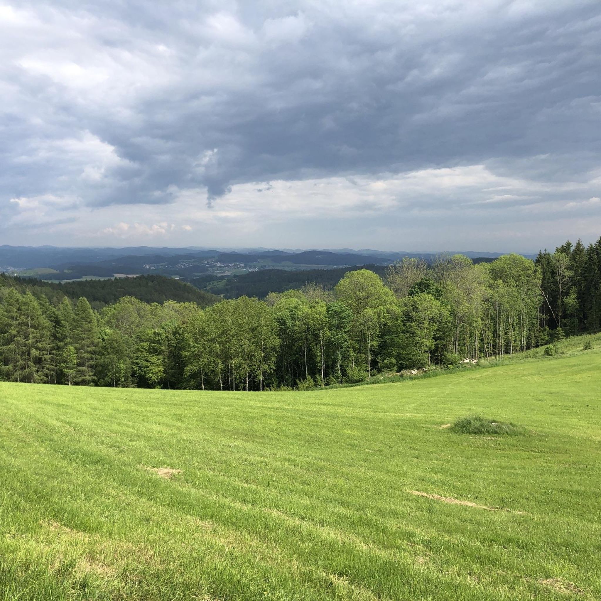
Road cycling routes around Ottenschlag im Mühlkreis are set within Austria's Mühlviertel region, characterized by diverse landscapes and hilly terrain. The area features a green mosaic of mixed forests, meadows, and hamlets, with cycling paths often following streams and passing granite formations. This varied topography provides both challenging ascents and enjoyable descents for road cyclists.
Best road cycling routes around Ottenschlag im Mühlkreis
- The most popular road cycling route is Along the Gusen River – Lower Gusental loop from Reichenau…
Last updated: October 11, 2026
4.8
(9)
363
riders
67.6km
03:04
770m
770m
Moderate road ride. Good fitness required. Mostly well-paved surfaces and easy to ride.
4.8
(6)
97
riders
Moderate road ride. Good fitness required. Mostly well-paved surfaces and easy to ride.

54
riders
67.9km
03:01
680m
680m
Moderate road ride. Good fitness required. Mostly well-paved surfaces and easy to ride.
37
riders
Easy road ride. Great for any fitness level. Mostly well-paved surfaces and easy to ride.
19
riders
Moderate road ride. Good fitness required. Some segments of this route may be unpaved and difficult to ride.
Get access to more routes and recommendations from other explorers.
Already have an account?
Our route recommendations are based on thousands of hikes, rides, and runs completed by other people on komoot.
Start today with a free account
Your next adventure awaits.
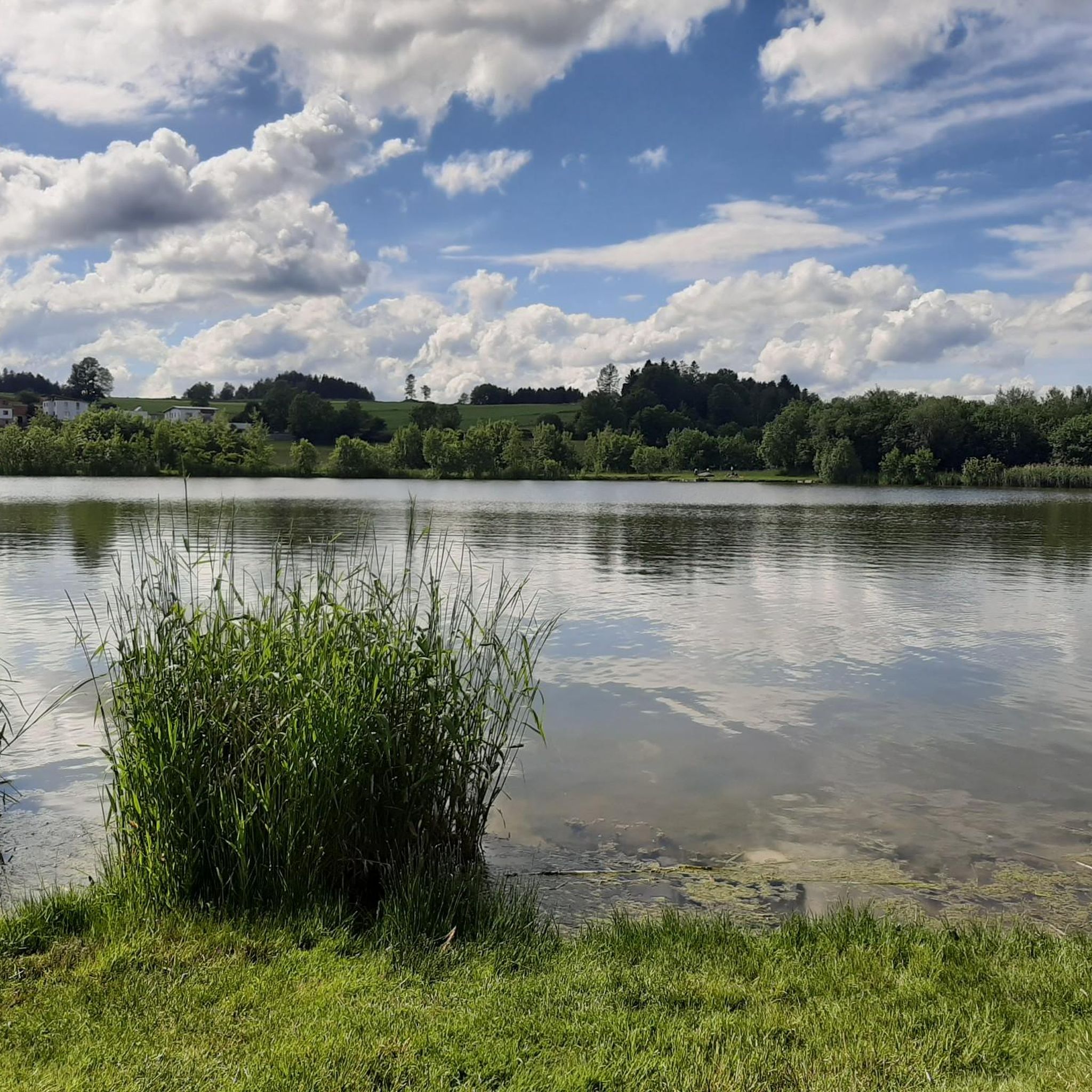
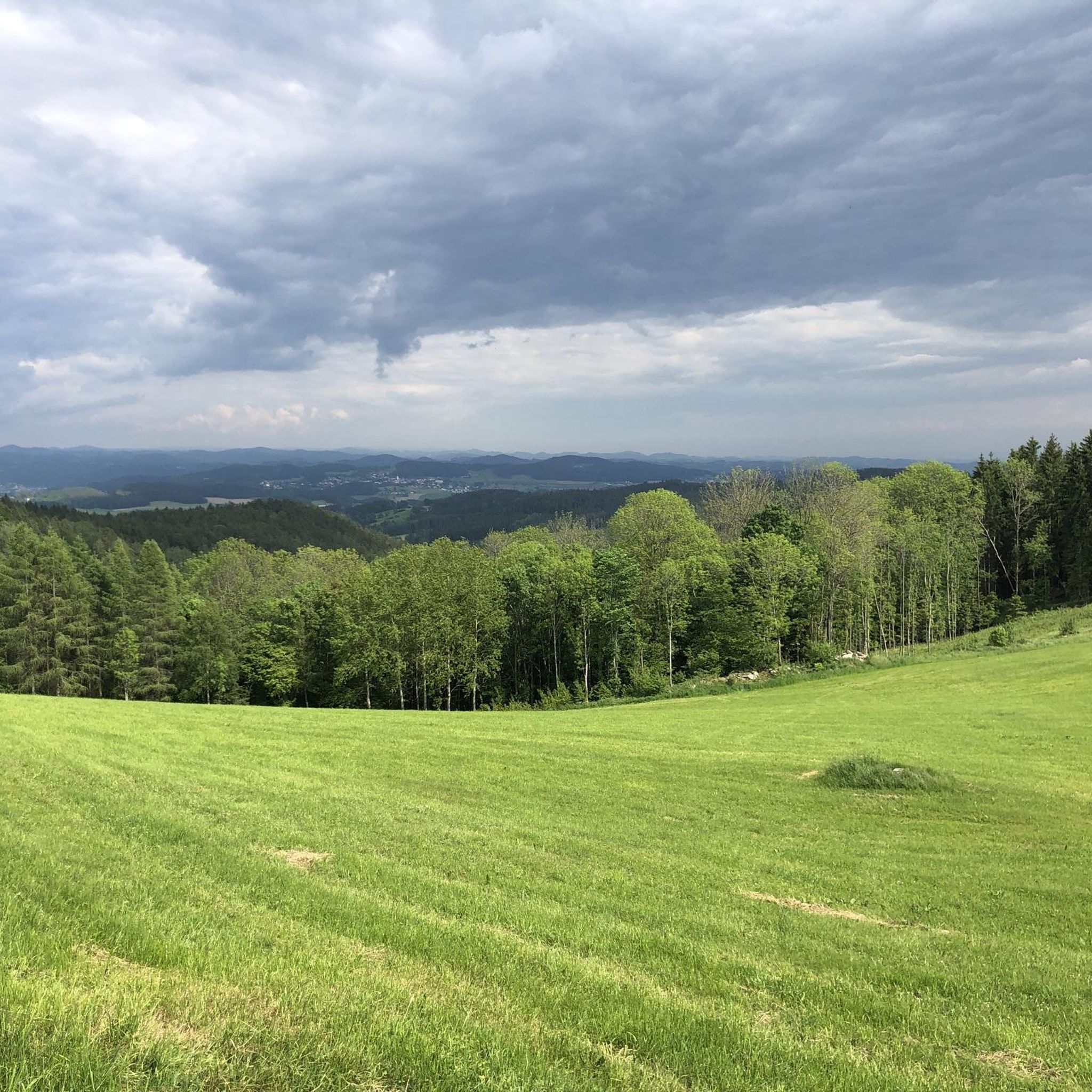
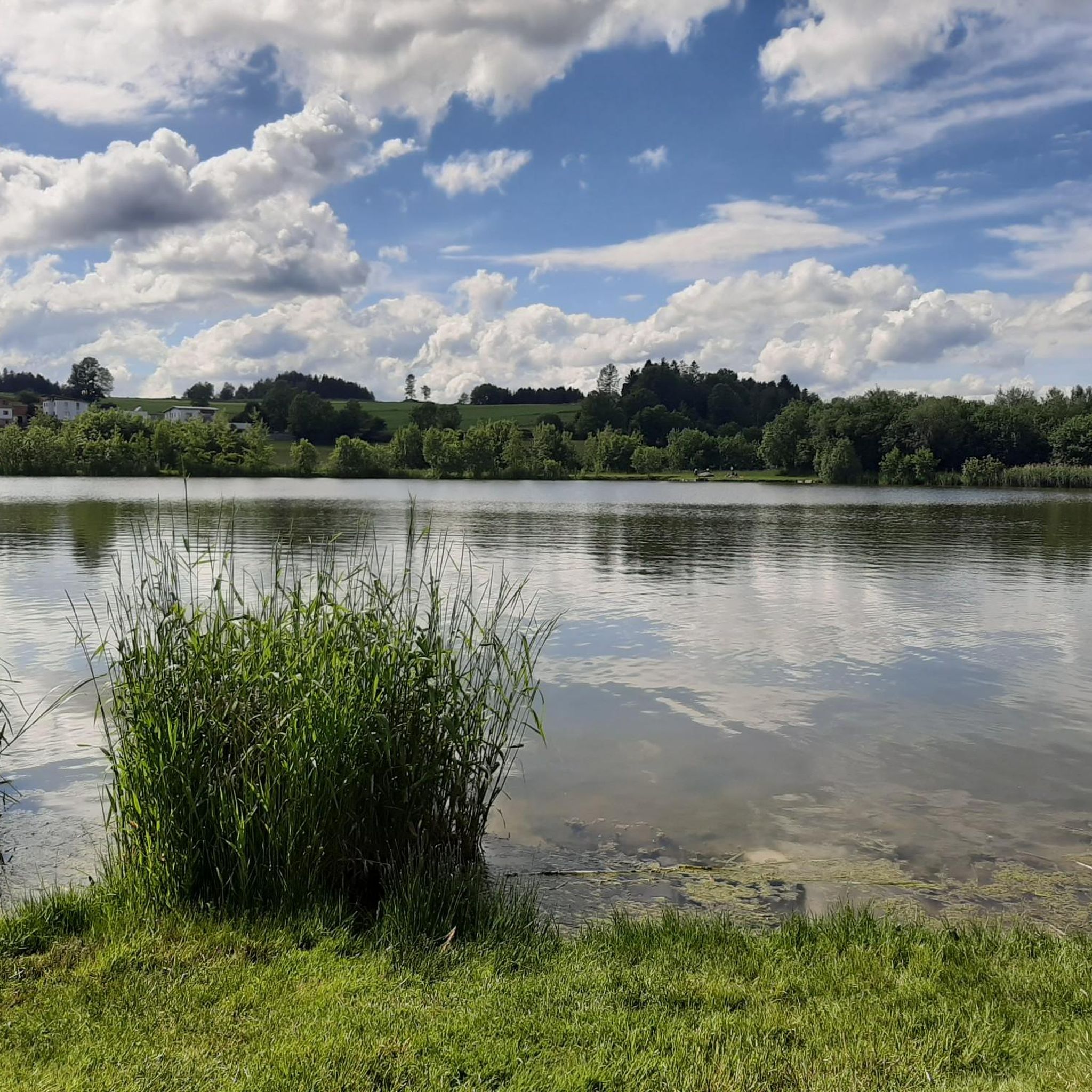
Tips from the Community

The town hall stands at the western end of the main square, northeast of the parish church in the town of Bad Leonfelden in the Mühlviertel region.
2
0


Beautiful part of the Danube Cycle Path
7
0

Here you can cycle in a relaxed manner
1
0


The industrial area of VOEST extends along the Eurovelo 6 Danube cycle path
2
0

Quiet connection between Bad Leonfelden and Reichenau
0
0

Café Kastner in the center is known for the best pastries in the entire Mühlviertel. Beautiful town center. But the whole place is designed for cars and is flooded accordingly.
3
0
Frequently Asked Questions
How many road cycling routes are available around Ottenschlag im Mühlkreis?
Ottenschlag im Mühlkreis offers a wide selection of road cycling routes, with nearly 300 tracked tours available. These routes cater to various skill levels, including easy, moderate, and difficult options.
What kind of terrain can I expect on road cycling routes in Ottenschlag im Mühlkreis?
The region is characterized by a hilly idyll, featuring diverse landscapes with both challenging ascents and enjoyable descents. You'll cycle through a green mosaic of mixed forests, meadows, and hamlets, often alongside streams and past impressive granite formations. Many routes utilize low-traffic side roads and paved surfaces.
Are there road cycling routes suitable for beginners or those looking for an easy ride?
Yes, there are routes suitable for beginners. For instance, the Bad Leonfelden Market Square loop from Reichenau im Mühlkreis is an easy 17.9 km ride, perfect for a relaxed outing. Overall, there are 12 easy routes in the area.
What are some challenging road cycling routes for experienced cyclists?
For experienced cyclists seeking a challenge, the region offers 135 difficult routes. A notable option is the Lipno Dam – Horní Planá Cycle Path loop from Ottenschlag im Mühlkreis, a demanding 141.1 km tour with significant elevation gain.
When is the best time of year to go road cycling in Ottenschlag im Mühlkreis?
The best seasons for road cycling in Ottenschlag im Mühlkreis are spring and summer. During these months, the mild climate and vibrant natural scenery enhance the cycling experience, making it ideal to explore the region's diverse routes.
Are there any circular road cycling routes in the area?
Yes, many routes in Ottenschlag im Mühlkreis are designed as loops, allowing you to start and finish at the same point. Examples include the popular Along the Gusen River – Lower Gusental loop from Reichenau im Mühlkreis and the Lipno Dam – Bad Leonfelden Market Square loop from Reichenau im Mühlkreis.
What cultural or historical attractions can I see along the road cycling routes?
Beyond the cycling, the region offers rich cultural and historical points of interest. You can explore historical eye-catchers like Ottenschlag Castle and the late Gothic Catholic parish church of St. James. Nearby, consider visiting Reichenau Castle Ruins or Weinberg Castle. The broader Mühlviertel also features traditional breweries and cozy inns.
Where can I find places to eat and drink along the road cycling routes?
The Mühlviertel region is known for its culinary offerings. Many routes pass through charming villages where you can find cozy inns, traditional breweries, and restaurants. These establishments often offer local specialties, allowing you to refuel and experience the regional culture.
What do other road cyclists say about the routes in Ottenschlag im Mühlkreis?
The road cycling routes around Ottenschlag im Mühlkreis are highly regarded by the komoot community, boasting an average rating of 4.7 stars from over 160 reviews. Cyclists often praise the varied terrain, scenic views, and the well-maintained paths that lead through forests and past natural landmarks.
Are there any scenic viewpoints or natural landmarks to discover?
Absolutely. The Mühlviertel is famous for its unique granite landscapes, including distinctive rocking stones like the 'Schwammerling'. You can also find several peaks offering panoramic views, such as Großer Zeißberg Summit or the Dr. Walter Amon Observation Tower on Breitenstein.
Is there parking available for cyclists in Ottenschlag im Mühlkreis?
Ottenschlag im Mühlkreis serves as a convenient starting point for numerous cycling tours. While specific parking areas are not detailed for every route, the village center and popular trailheads typically offer parking facilities for visitors looking to explore the area by bike.
Can I use public transport to access road cycling routes in Ottenschlag im Mühlkreis?
The region's infrastructure is generally geared towards outdoor activities. While specific public transport options for cyclists might vary, local bus services often connect the main towns and villages. It's advisable to check local transport schedules for routes that accommodate bicycles if you plan to use public transport to reach your starting point.
Most popular routes around Ottenschlag im Mühlkreis
Most popular attractions around Ottenschlag im Mühlkreis

Get inspired with the komoot mobile app


Explore more
Browse the best Road cycling routes in other regions.
