The best road cycling routes around Serra da Estrela
4.6
(89)
4,235
riders
29
rides
Road cycling routes around Serra da Estrela traverse mainland Portugal's highest mountain range, offering diverse and challenging terrain. The region is characterized by demanding climbs and descents on well-paved, serpentine roads that lead to high plateaus, including Torre, the highest point in mainland Portugal. Its unique geological history, shaped by glaciation, has created a dramatic landscape featuring glacial valleys and striking granite formations. This mountainous environment provides varied experiences for road cyclists seeking significant elevation changes.
Best road cycling routes…
Last updated: October 10, 2026
5.0
(3)
216
riders
70.7km
04:35
1,910m
1,910m
Hard road ride. Very good fitness required. Mostly well-paved surfaces and easy to ride.
18
riders
83.7km
04:54
1,970m
1,970m
This difficult 52.0-mile road cycling loop from Manteigas in Serra da Estrela offers challenging climbs and stunning mountain views.

91
riders
Hard road ride. Very good fitness required. Mostly well-paved surfaces and easy to ride.
38
riders
20.0km
01:20
620m
620m
Moderate road ride. Good fitness required. Mostly well-paved surfaces and easy to ride.
4.5
(2)
107
riders
37.8km
02:23
1,090m
1,090m
Hard road ride. Very good fitness required. Mostly well-paved surfaces and easy to ride.
4.0
(1)
37
riders
92.4km
05:19
2,140m
2,140m
Hard road ride. Very good fitness required. Mostly well-paved surfaces and easy to ride.
40
riders
63.3km
03:36
1,370m
1,370m
Hard road ride. Very good fitness required. Mostly well-paved surfaces and easy to ride.
40
riders
42.9km
02:22
890m
890m
Moderate road ride. Good fitness required. Some segments of this route may be unpaved and difficult to ride.
33
riders
70.7km
03:38
1,180m
1,180m
Hard road ride. Very good fitness required. Some segments of this route may be unpaved and difficult to ride.
5.0
(5)
33
riders
99.1km
05:03
1,570m
1,570m
Hard road ride. Very good fitness required. Some segments of this route may be unpaved and difficult to ride.
Get access to more routes and recommendations from other explorers.
Already have an account?
Our route recommendations are based on thousands of hikes, rides, and runs completed by other people on komoot.
Start today with a free account
Your next adventure awaits.
Popular around Serra da Estrela
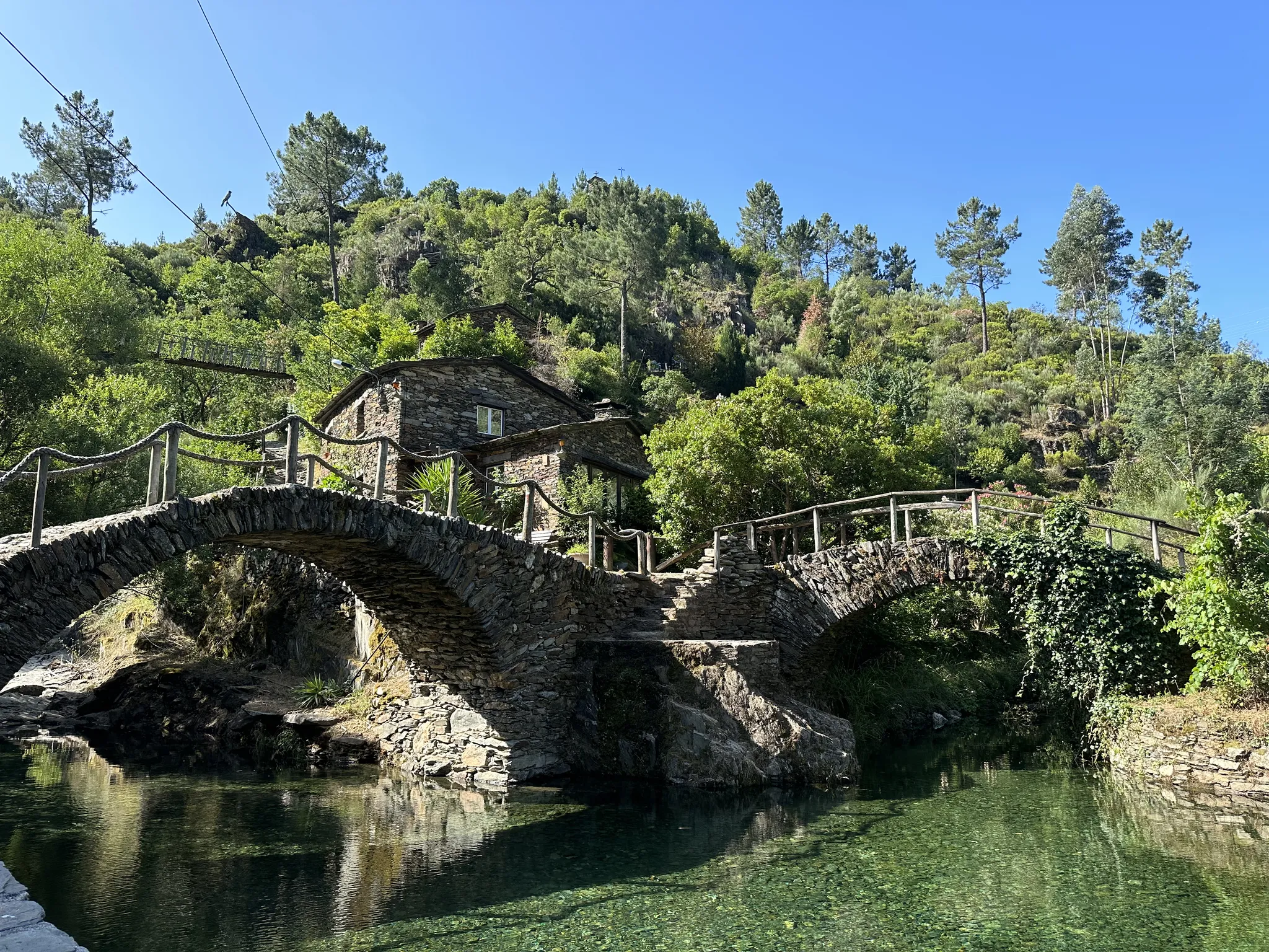
Great Route of Historic Villages (GR 22 south loop) – A nation is born
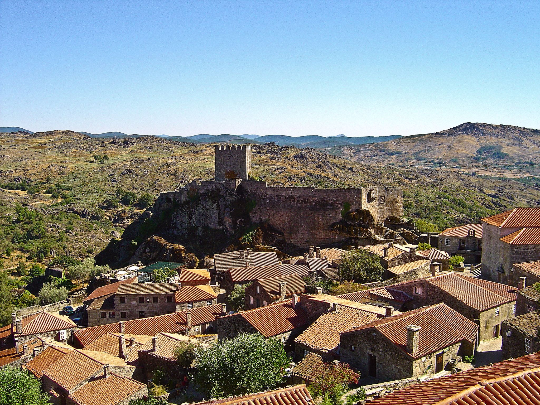
Great Route of Historic Villages (GR 22 north loop) - castles and valleys
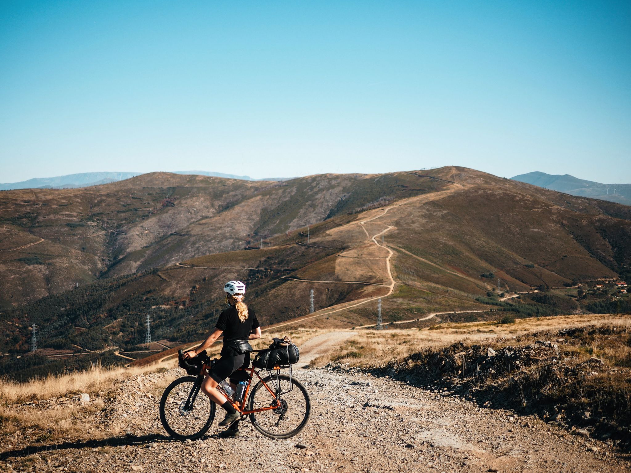
Bikepacking across the Portuguese mountains
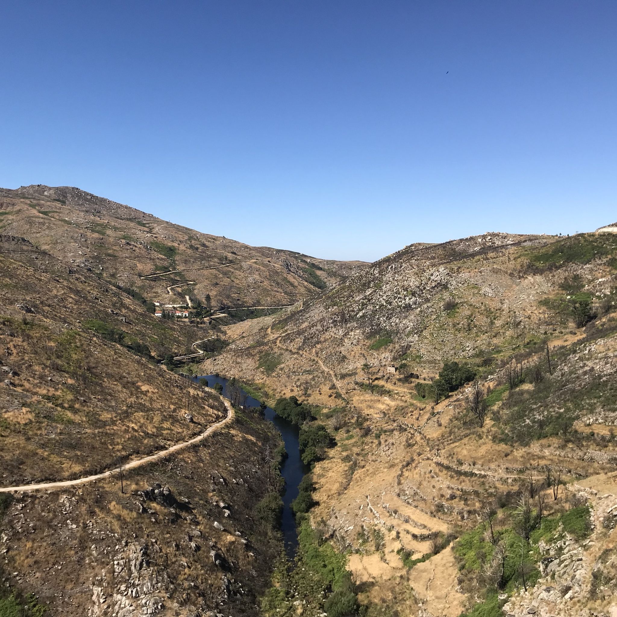
Hiking around Serra da Estrela
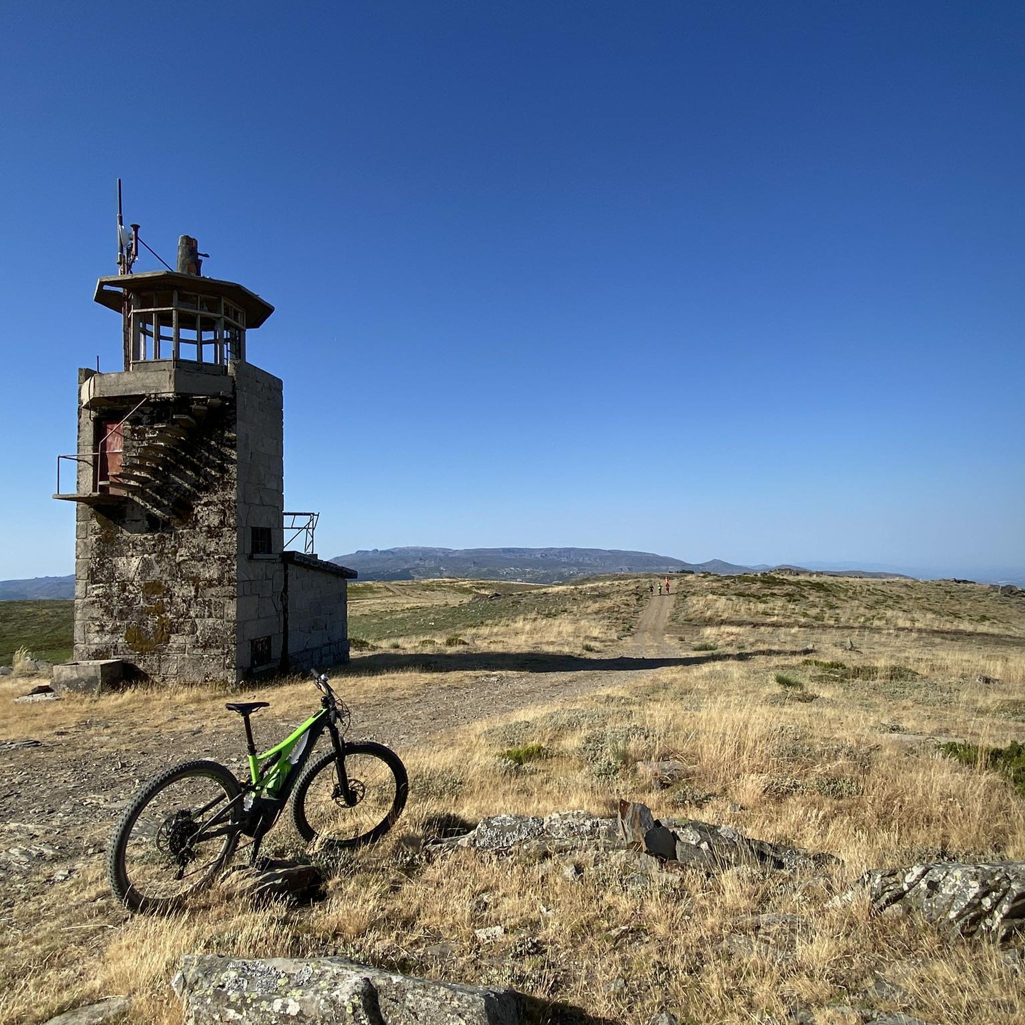
MTB Trails around Serra da Estrela
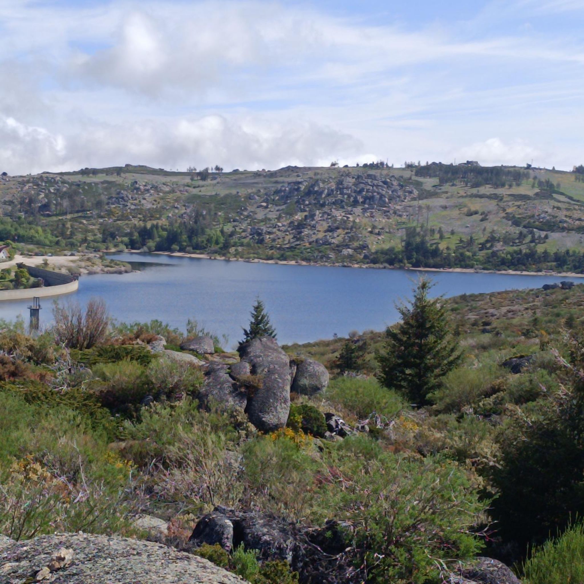
Running Trails around Serra da Estrela
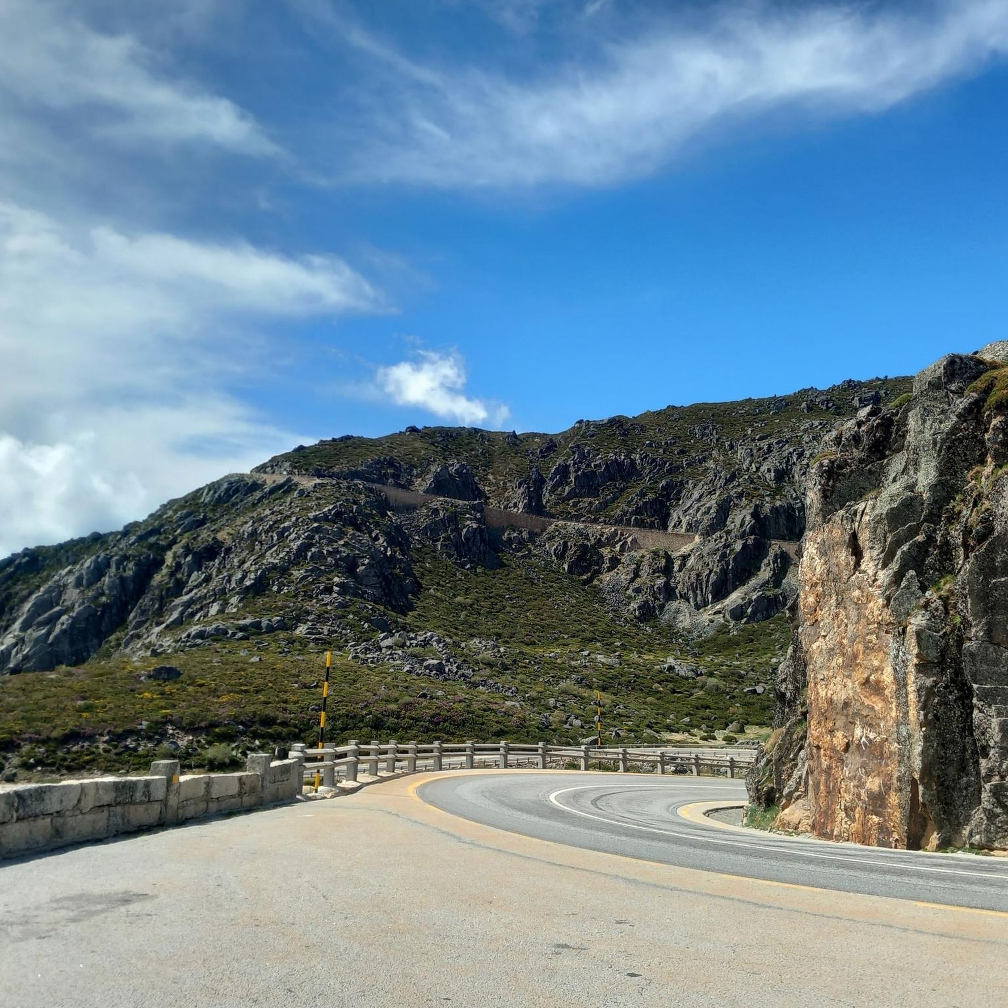
Cycling around Serra da Estrela

Gravel biking around Serra da Estrela
Other adventures around Serra da Estrela


Tips from the Community

Centrally located in the park and easily accessible via a beautiful, paved road is the Torre. This is the highest point of the Serra da Estrela mountain range; nowhere in continental Portugal can you go higher. Actually, the highest point is at 1,993 meters. A small tower of 7 meters on top of the mountain completes the 2,000 meters.
7
0

The Torre is the highest point of Continental Portugal, at 1,993 meters above sea level. It is located in the heart of the Serra da Estrela Natural Park and serves as the dividing line between the municipalities of Seia, Manteigas, and Covilhã. To reach the round 2,000 meters, King D. João VI had a stone monument built at the top of the plateau in the early 19th century.👍🥾
0
0
Cântaro Magro is one of the "commonplaces" of the Serra da Estrela mountain range, whose summit rises to 1928 m altitude, deserving a visit at any time of year. Viewed from west to east, its silhouette resembles a pitcher. In summer, its rocky face is interrupted by small terraces of soil, where some of the rarest botanical jewels of the mountain range grow. In winter, it is covered in snow and ice which, as they melt, form ephemeral waterfalls. These recall the overflowing liquid from the pitchers carried on the heads of women when, in the past, they went to the fountains. #CISE #VisitSeia #ParqueNaturaldaSerradaEstrela
0
0


goodbye vegetables 😔
0
0

Sabugueiro, the village vying for the title of highest in Portugal, is also one of the most authentic ambassadors of mountain life. Among granite houses and comforting flavors (cheese, sausages, roast kid, and honey), you can find the warmth of blankets and burel coats and the company of the faithful Serra da Estrela mountain dogs. Surrounding waterfalls, streams, and lakes remind you that here, nature is as generous as the table.
3
0
In the heart of the Serra da Estrela, Manteigas is a mountain town that doesn't need grand monuments. Nestled above the Zêzere Glacier Valley, it enchants with grand landscapes, sparkling snowy winters, and soul-warming cuisine. Carved by Europe's southernmost glacier thousands of years ago, the surrounding mountains are the stage for endless adventures, legendary trails, and corners of pure tranquility. Here, every turn reveals a new landscape, each season paints the town with different colors, and each visit leaves you feeling like you've truly entered the heart of the mountain.
3
0
Frequently Asked Questions
How many road cycling routes are available in Serra da Estrela?
Serra da Estrela offers a wide selection of road cycling routes, with over 30 distinct tours available. These range from moderate rides to very challenging ascents, catering to various fitness levels.
What kind of terrain can I expect on road cycling routes in Serra da Estrela?
The terrain in Serra da Estrela is predominantly mountainous, characterized by demanding climbs and descents on well-paved, serpentine roads. You'll encounter significant elevation changes as routes lead to high plateaus, including Torre, the highest point in mainland Portugal. The region's unique glacial history has also shaped dramatic landscapes with granite formations.
Are there routes suitable for beginners or less experienced road cyclists?
While many routes in Serra da Estrela are challenging, there are options for varying ability levels. Out of the 32 available routes, 11 are rated as moderate, offering a less strenuous experience compared to the more difficult ascents. For example, the Cântaro Magro – Serra da Estrela loop from Penhas da Saúde is a moderate option.
What are some of the most challenging road cycling routes in the region?
Serra da Estrela is known for its challenging climbs. One of the most extensive and difficult routes is the Torre (Serra da Estrela) – Serra da Estrela loop from Site of Community Importance Serra da Estrela, covering 91.1 miles (146.6 km) with over 4,000 meters of elevation gain. Another demanding option is the Loop tour from Manteigas in the Serra da Estrela, a 43.9-mile (70.7 km) route with significant climbing.
Can I find circular road cycling routes in Serra da Estrela?
Yes, many road cycling routes in Serra da Estrela are designed as loops, allowing you to start and finish in the same location. Examples include the Loop tour from Manteigas in the Serra da Estrela and the Torre (Serra da Estrela) – Cântaro Magro loop from Unhais da Serra.
What natural features or landmarks can I see along the road cycling routes?
Road cycling routes in Serra da Estrela often pass by stunning natural features. You can encounter glacial valleys like the Zêzere Glacial Valley, and dramatic granite formations such as the iconic Cântaro Magro. The region is also home to glacial lakes like Long Lake and the Vale do Rossim Reservoir. Some routes may even offer views of the enchanting Poço do Inferno Waterfall.
Are there any notable viewpoints accessible by road bike?
Absolutely. Serra da Estrela is dotted with numerous viewpoints offering spectacular vistas. While cycling, you can experience panoramic views from high plateaus, including Torre, the highest point in mainland Portugal. Other notable viewpoints in the region include Miradouro da Lagoa Comprida, Miradouro do Cântaro Magro, and Varanda dos Carqueijais, which overlooks Covilhã.
What is the best time of year for road cycling in Serra da Estrela?
The best time for road cycling in Serra da Estrela is generally during the spring and autumn months. These seasons offer more moderate temperatures and stable weather conditions, making the challenging climbs more enjoyable. Summer can be hot, especially at lower elevations, while winter brings snow, particularly at higher altitudes like Torre, making road cycling difficult or impossible.
Is it possible to access road cycling routes using public transport?
While public transport options exist to reach some towns in the Serra da Estrela region, direct access to specific road cycling trailheads with bikes can be limited. It's advisable to research local bus services or train connections to major towns like Covilhã or Seia and then plan your cycling route from there, or consider bringing your own transport.
Where can I find parking for road cycling in Serra da Estrela?
Parking is generally available in the towns and villages that serve as common starting points for road cycling routes, such as Manteigas, Seia, or Covilhã. Many routes also begin near popular attractions or reservoirs where designated parking areas can be found. Always check local signage for parking regulations.
What do other cyclists say about road cycling in Serra da Estrela?
The road cycling experience in Serra da Estrela is highly rated by the komoot community, with an average score of 4.7 stars from over 10 reviews. Cyclists often praise the challenging yet rewarding climbs, the stunning panoramic views from high altitudes, and the well-paved, serpentine roads that make for an exhilarating ride through Portugal's highest mountain range.
Are there places to eat or stay near the cycling routes?
Yes, the region has several charming towns and villages like Manteigas, Seia, Gouveia, and Sabugueiro, which offer various amenities. You'll find cafes, restaurants, and accommodation options to refuel and rest. For example, the Central Restaurant, Manteigas – Manteigas loop from Vale do Rossim route starts near a restaurant, and the O Berenxido Bar & Sandwiches – Folgosinho loop from Site of Community Importance Serra da Estrela also passes by eateries.
Most popular routes around Serra da Estrela
Most popular attractions around Serra da Estrela

Get inspired with the komoot mobile app


Explore more
Browse the best Road cycling routes in other regions.
