The best cycling routes around International Tagus Natural Park
4.6
(13)
145
riders
30
rides
Touring cycling routes around International Tagus Natural Park traverse a landscape characterized by the rugged banks of the Tagus River and its tributaries, forming impressive rocky canyons and river valleys. The region features dense Mediterranean vegetation, including extensive holm oak and cork oak forests, alongside frequent rocky outcrops. This cross-border park offers a tranquil environment for touring cyclists, with low human density across its diverse terrain.
Best touring cycling routes around International Tagus Natural Park
- The most popular touring cycling…
Last updated: July 10, 2026
5.0
(1)
3
riders
29.8km
02:38
390m
390m
Hard bike ride. Good fitness required. You may need to push your bike for some segments of this route.
5.0
(1)
4
riders
29.3km
02:36
370m
380m
Hard bike ride. Good fitness required. You may need to push your bike for some segments of this route.

Sign up for free
3
riders
Hard bike ride. Very good fitness required. Mostly paved surfaces. Suitable for all skill levels.
3.5
(2)
13
riders
18.3km
01:12
160m
160m
Moderate bike ride. Good fitness required. Mostly paved surfaces. Suitable for all skill levels.
9
riders
54.0km
03:20
450m
450m
Moderate bike ride. Good fitness required. Mostly paved surfaces. Suitable for all skill levels.
Get access to more routes and recommendations from other explorers.
Sign up for free
Already have an account?
Our route recommendations are based on thousands of hikes, rides, and runs completed by other people on komoot.
Start today with a free account
Your next adventure awaits.
Login or Signup
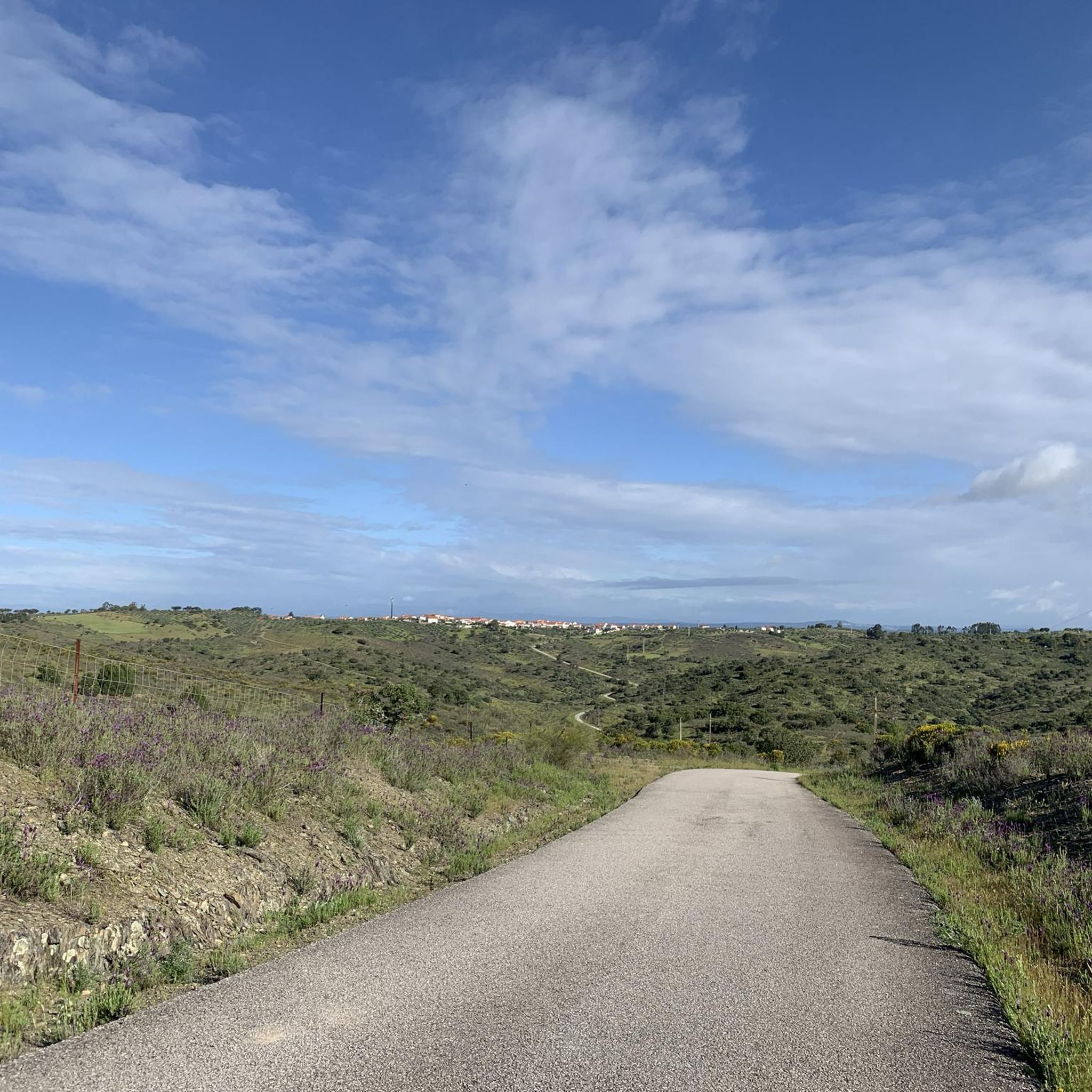
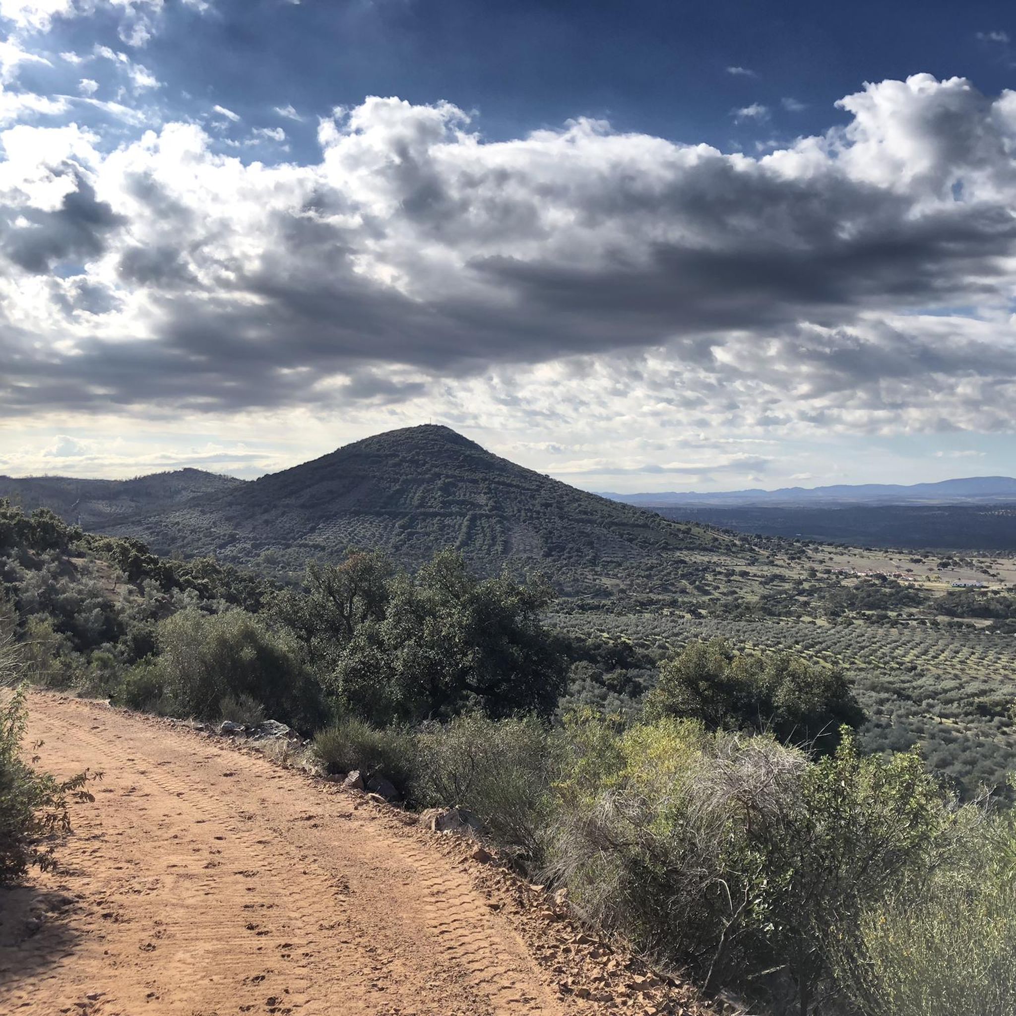
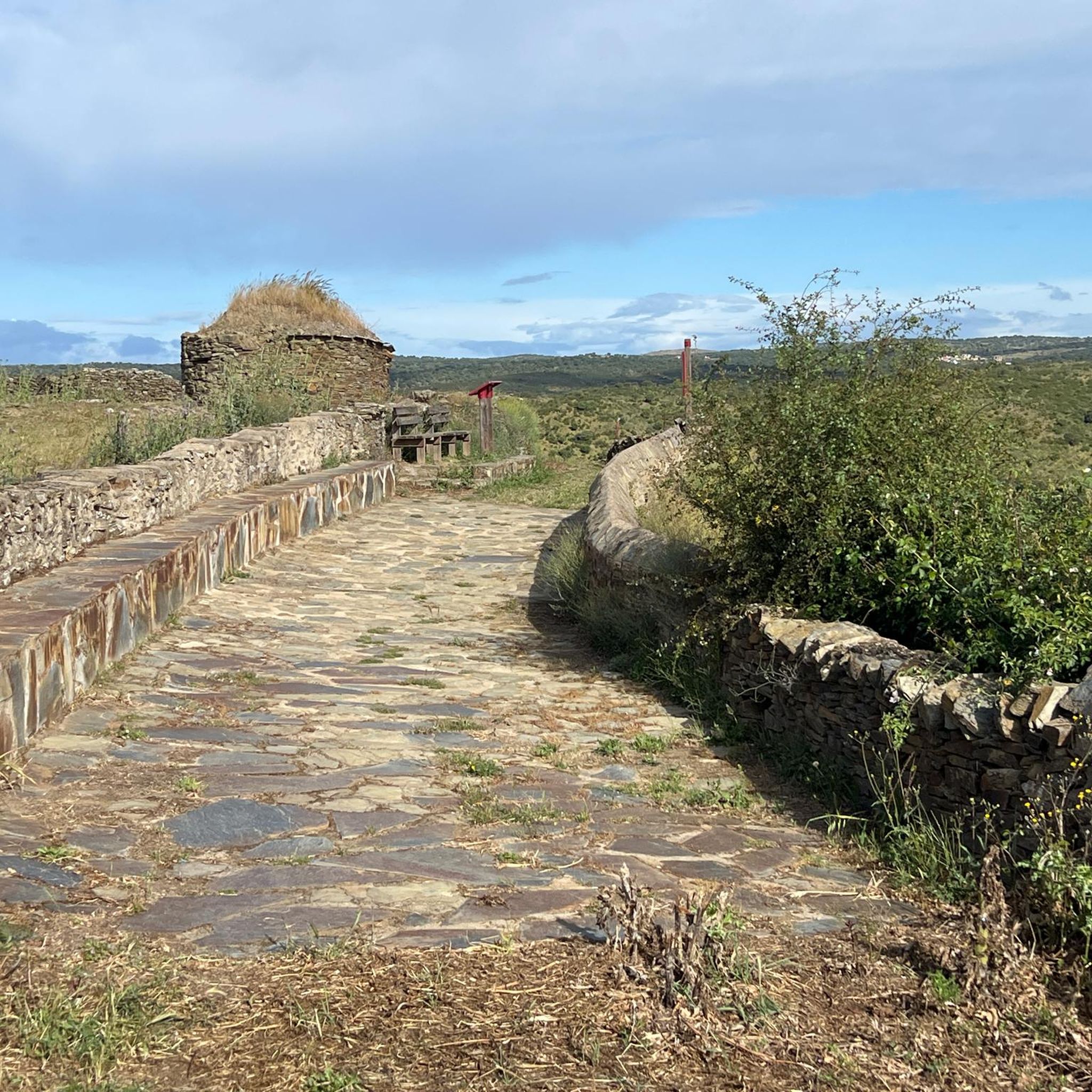

Tips from the Community

Salvaterra do Extremo is a picturesque village in Portugal, known for its stunning views and natural surroundings.
8
0
On the Spanish side, the bridge is located in the municipality of Alcántara in the province of Cáceres. It is reached via the regional highway EX-207 from the nearby town of Piedras Albas. On the Portuguese side, it connects with a local road to reach the town of Segura, from which this bridge takes its name. It was built in the Roman province of Lusitania to give continuity to the Roman road that connected Norba Caesarina (on the Via de la Plata) with the civitas Egitania (Idanha-a-Velha, Portugal) and with Bracara Augusta (Braga, Portugal), in order to save the Erjas river. This river marks the border line between Spain and Portugal, and the bridge serves as an international crossing between both countries.
9
0
The Cañada Real de Gata is a short-distance hiking route that offers great scenic value as it passes entirely through the surroundings of the Tajo Internacional Natural Park in Extremadura.
7
0
Zarza la Mayor is a Spanish town and municipality, located in the province of Cáceres, in the autonomous community of Extremadura. It belongs to the judicial district of Cáceres and is the westernmost town in the community of Rivera de Fresnedosa. Furthermore, it is the only municipality in said community that has a border with Portugal, located four kilometers in a straight line from Salvaterra do Extremo.
10
0

Border bridge over the Erjas river near the town of Segura.
2
0
The border town of Salvaterra Do Extremo between Portugal and Spain sits high above the Erjes River gorge, opposite Peñafiel Castle.
3
1
Hiking route that runs along the old cattle trails near Zarza la Mayor, towards the Embalse de los Navarros.
2
1
At the west end of the city, the Plaza Mayor is worth visiting as you head out of town on your walk to admire the Church of San Andrés Apóstol and the council building.
4
0
Frequently Asked Questions
What kind of terrain can I expect on touring cycling routes in International Tagus Natural Park?
Touring cycling routes in International Tagus Natural Park are characterized by the rugged banks of the Tagus River and its tributaries, featuring impressive rocky canyons and river valleys. You'll encounter dense Mediterranean vegetation, including extensive holm oak and cork oak forests, alongside frequent rocky outcrops. The terrain can vary, with options ranging from moderate to difficult, often involving unpaved segments and significant elevation gains.
Are there many challenging touring cycling routes in the park?
Yes, the International Tagus Natural Park offers a good selection of challenging routes for touring cyclists. Out of approximately 30 routes, about 20 are classified as difficult, providing significant elevation changes and varied terrain. For example, the Cañada Real de Gata loop from Zarza la Mayor is a difficult 18.5-mile route with over 390 meters of elevation gain.
What natural features or landscapes can I see while cycling in the International Tagus Natural Park?
While cycling, you'll experience diverse landscapes including the dramatic river valleys and canyons carved by the Tagus, Ponsul, Erges, and Aravil rivers. The park is rich in Mediterranean vegetation, with extensive holm oak and cork oak forests, as well as ash, willow, and alder in riparian zones. You'll also frequently encounter granite-spattered shale rocky outcrops, contributing to the park's rugged beauty. The Cork Oak Grove – São Gens Viewpoint loop from Castelo Branco is a great example of a route showcasing these forests and offering scenic views.
Are there any family-friendly touring cycling routes in International Tagus Natural Park?
While many routes in the International Tagus Natural Park are classified as moderate to difficult, there are options that might be suitable for families with good fitness levels. For instance, the Bike loop from Castelo Branco is a moderate 18.2-mile route with less elevation gain compared to others, making it a potentially more accessible option for families seeking a touring cycling experience.
What kind of wildlife might I encounter on a touring cycling trip in the park?
The International Tagus Natural Park is a Special Protection Area for birds, so you have a good chance of spotting various species, including black storks, eagles, eagle owls, griffon vultures, and potentially the endangered Spanish Imperial Eagle and Black Vulture. The park is also home to 44 mammal species, such as deer and wild boars, and a diverse insect and butterfly population, especially in the holm oak and cork oak forests.
What are some notable landmarks or points of interest along the touring cycling routes?
Beyond the natural beauty, you can discover historical and cultural elements. Highlights include the ancient Roman bridge of Alcántara, nearly two millennia old. Along some routes, you might pass by the Segura International Bridge or the Erjas River Crossing. There are also various viewpoints like the Caseta del Río Erjas Viewpoint, offering panoramic vistas of the rugged landscape.
What is the best time of year to go touring cycling in International Tagus Natural Park?
The park experiences a Mediterranean climate. Spring (April-May) and autumn (September-October) are generally ideal for touring cycling, offering milder temperatures and pleasant conditions for exploring the diverse landscapes and wildlife. Summers can be very hot, and some routes might be less comfortable during peak heat.
Are there any circular touring cycling routes in the International Tagus Natural Park?
Yes, many of the touring cycling routes in the International Tagus Natural Park are designed as loops, allowing you to start and end at the same point. Examples include the Cañada Real de Gata loop from Piedras Albas and the Geodesic Marker – São Gens Viewpoint loop from Castelo Branco, which offer convenient circular journeys through the park's scenic areas.
What do other touring cyclists enjoy most about cycling in International Tagus Natural Park?
The area is highly rated by the komoot community, with an average score of 4.5 stars from over 10 reviews. Reviewers often praise the tranquility and immersion in nature offered by this low-density area, the dramatic river valleys, and the rich biodiversity, especially the birdwatching opportunities. The varied terrain and challenging routes are also frequently highlighted by those seeking a more adventurous touring cycling experience.
Is public transport available to access touring cycling routes in the International Tagus Natural Park?
Access to the International Tagus Natural Park, particularly for specific touring cycling route starting points, can be challenging with public transport due to the region's low human density. While some larger towns near the park's periphery might have bus connections, reaching the more remote trailheads often requires private vehicle transport. It's advisable to research specific local transport options for your chosen starting point.
Are there visitor services or facilities available within the park for cyclists?
The park provides visitor centers and environmental education centers which can be helpful resources. While specific cycling-focused facilities like dedicated repair shops might be limited, traditional villages within and around the park offer basic services, and you can find signposted itineraries and wildlife observatories to enhance your experience.
Most popular routes around International Tagus Natural Park
Most popular attractions around International Tagus Natural Park

Get inspired with the komoot mobile app


Explore more
Browse the best Cycling routes in other regions.
