The best running trails around Parque Natural do Sudoeste Alentejano e Costa Vicentina
4.3
(296)
7,333
runners
349
runs
Jogging routes around Parque Natural do Sudoeste Alentejano e Costa Vicentina traverse a diverse landscape characterized by dramatic coastal cliffs, expansive sandy beaches, and secluded coves. Inland, the region features woods, moors, and hills, with river estuaries adding to the varied terrain. This protected area offers a mix of coastal paths and trails through natural habitats, providing a dynamic environment for running.
Best jogging routes around Parque Natural do Sudoeste Alentejano e Costa Vicentina
- The most popular jogging route is From Sagres to Cabo de São Vicente — route on the Costa Vicentina, a 9.0 miles (14.5 km) trail that takes 1 hour 42 minutes to complete. This route offers coastal views along the rugged shoreline.
- Another top favourite among local runners is Pontal da Carrapateira — circular route in Costa Vicentina, a moderate 6.4 miles (10.3 km) path. This circular route explores coastal areas and dunes.
- Local runners also love the Amoreira Trail, a 4.5 miles (7.3 km) trail leading through varied natural terrain, often completed in about 50 minutes.
- Jogging around Parque Natural do Sudoeste Alentejano e Costa Vicentina is defined by dramatic cliffs, pristine beaches, and inland woods. The network offers options for different ability levels, from moderate coastal runs to more challenging trails.
- The routes in Parque Natural do Sudoeste Alentejano e Costa Vicentina are highly rated by the komoot community with an average score of 4.3 stars from over 250 reviews. More than 6000 runners have used komoot to explore Parque Natural do Sudoeste Alentejano e Costa Vicentina's varied terrain.
Last updated: July 7, 2026
5.0
(5)
369
runners
14.5km
01:43
180m
180m
Moderate run. Good fitness required. Mostly accessible paths. Some sure footedness required.
4.7
(6)
96
runners
10.3km
01:09
100m
100m
Moderate run. Good fitness required. Mostly paved surfaces. Suitable for all skill levels.

Sign up for free
5.0
(2)
33
runners
22.9km
02:45
230m
230m
Hard run. Very good fitness required. Sure-footedness, sturdy shoes and alpine experience required.
4.7
(3)
22
runners
7.26km
00:51
80m
80m
Moderate run. Good fitness required. Mostly accessible paths. Some sure footedness required.
9
runners
15.6km
01:48
260m
260m
Hard run. Very good fitness required. Mostly accessible paths. Some sure footedness required.
Get access to more routes and recommendations from other explorers.
Sign up for free
Already have an account?
Our route recommendations are based on thousands of hikes, rides, and runs completed by other people on komoot.
Start today with a free account
Your next adventure awaits.
Login or Signup
Popular around Parque Natural do Sudoeste Alentejano e Costa Vicentina
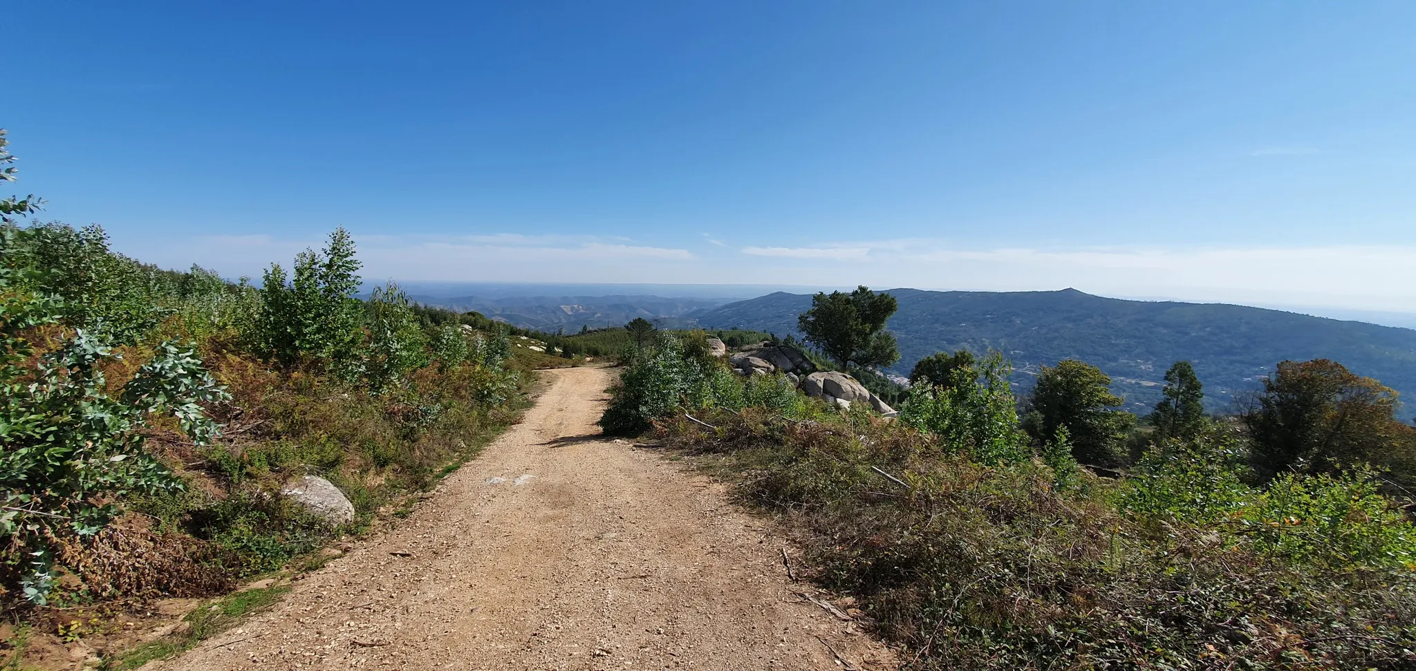
Via Algarviana (GR 13) - hidden corners of the south
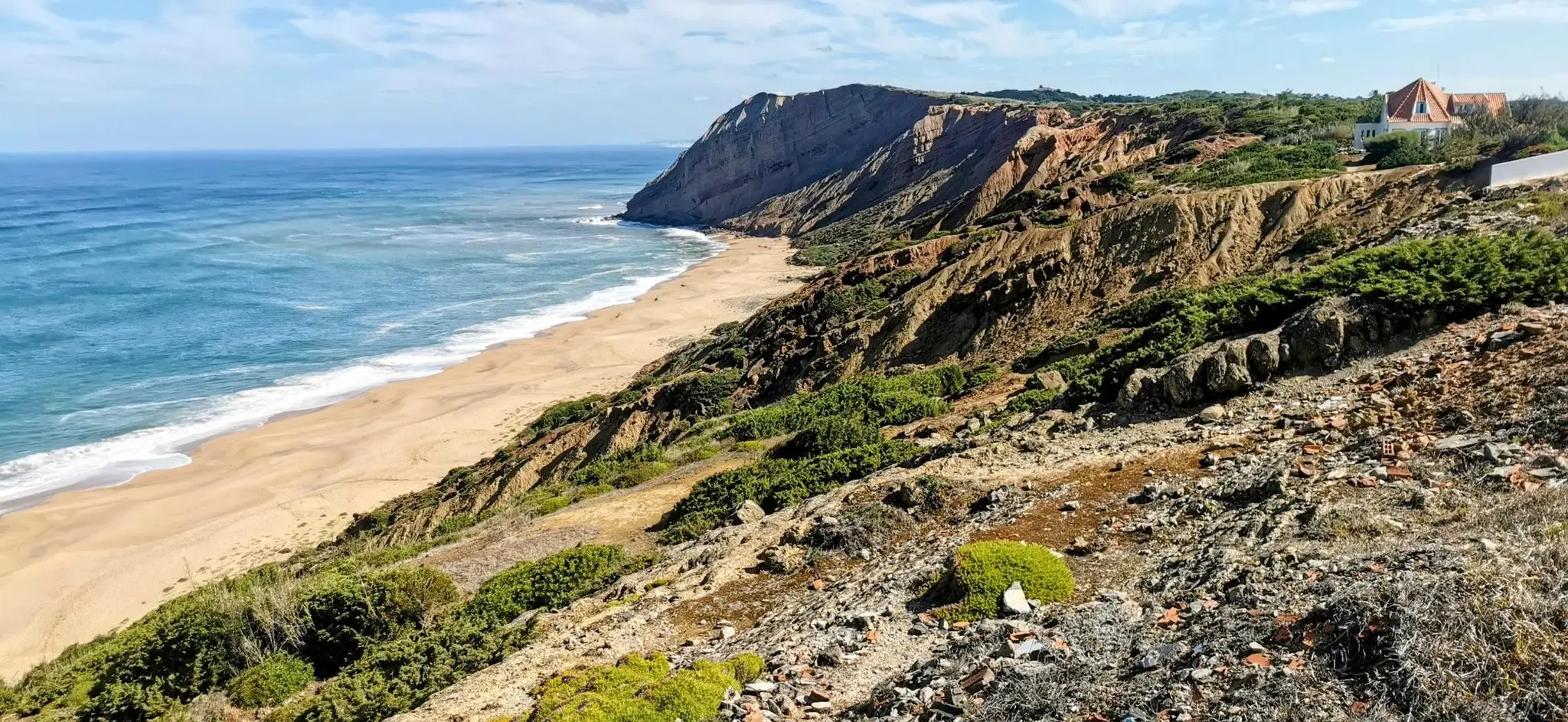
EuroVelo 1 Portugal – Cycle the Atlantic Coast
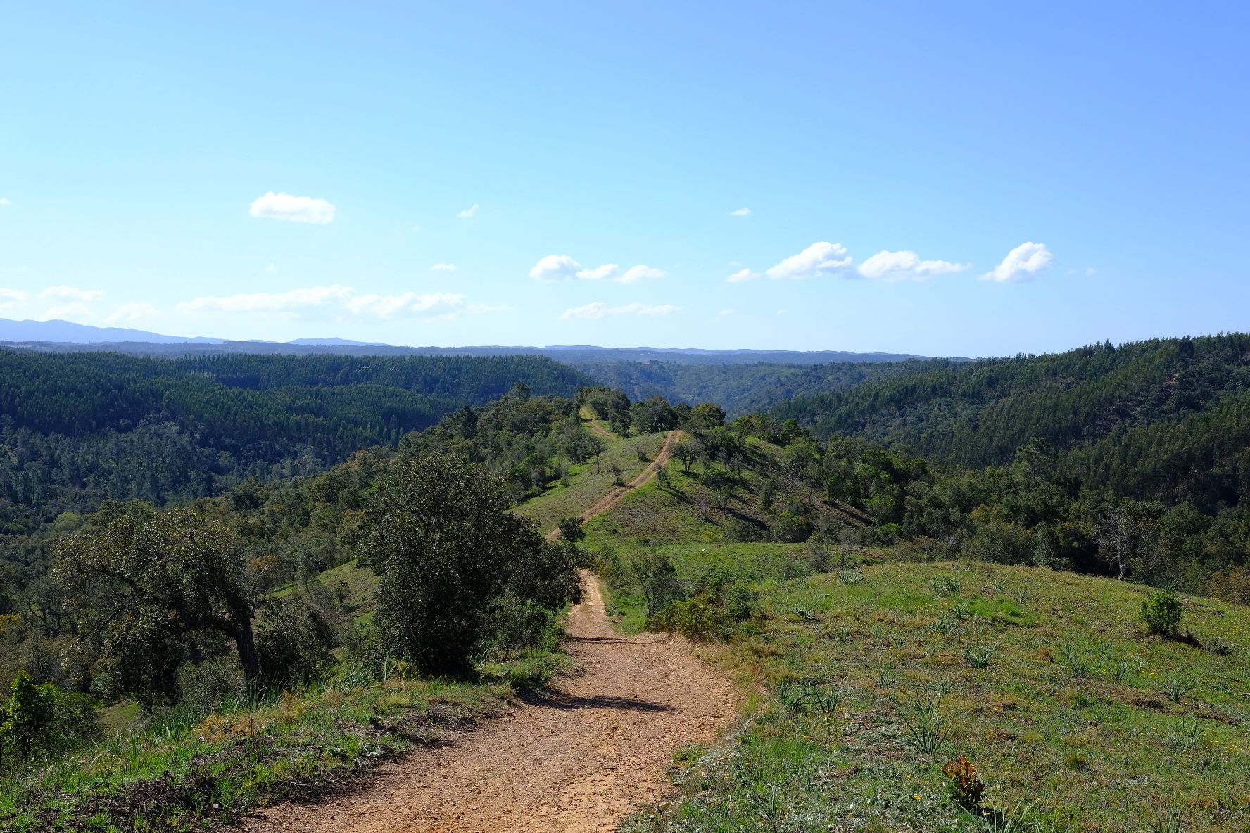
Caminho Histórico – Discover Portugal's beauty and history
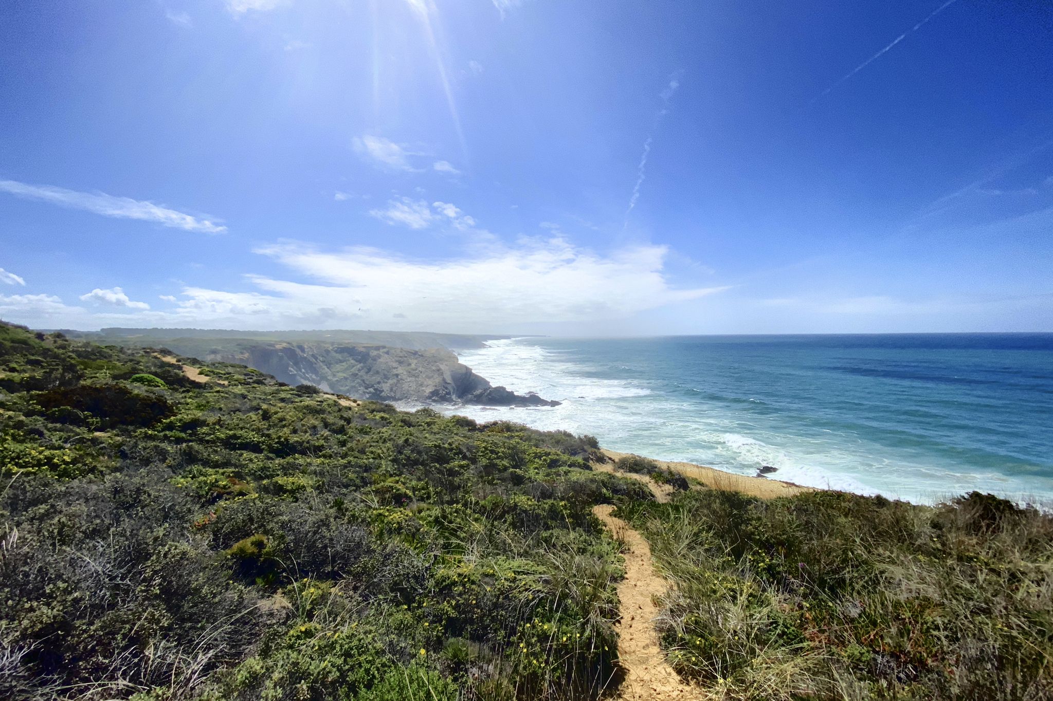
Trilho dos Pescadores – Portugal's Fishermen's Trail
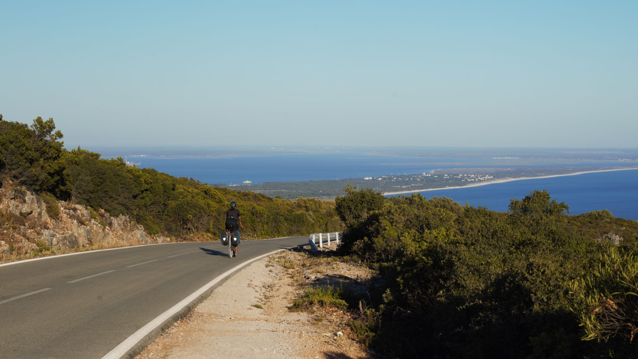
The breaking waves – cycle along the Atlantic coast of Portugal

Road to Lisbon – bikepacking the Alps, Pyrenees and Picos de Europa
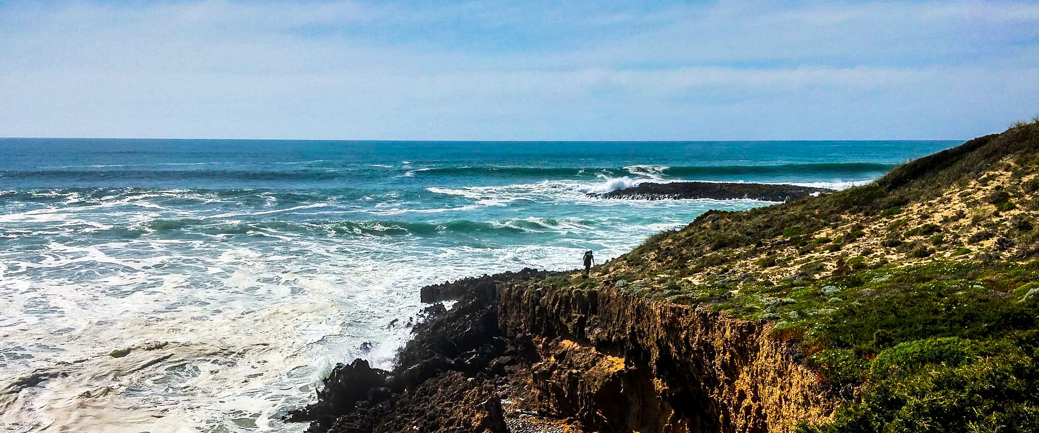
Fishermen's Trail – Discover Portugal's Atlantic Coast
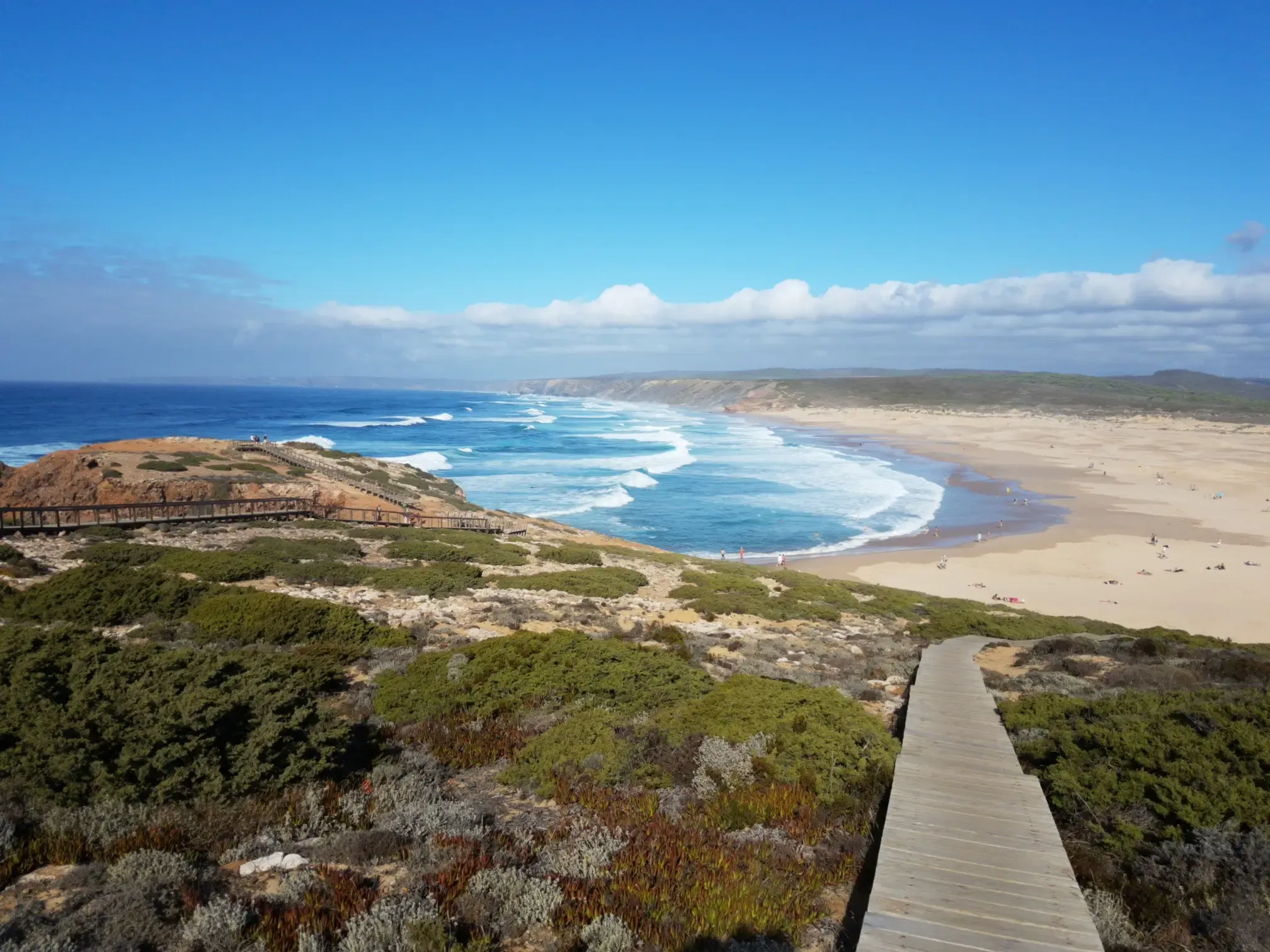
Lisbon to Santo António – The Atlantic Coast of Portugal (south)
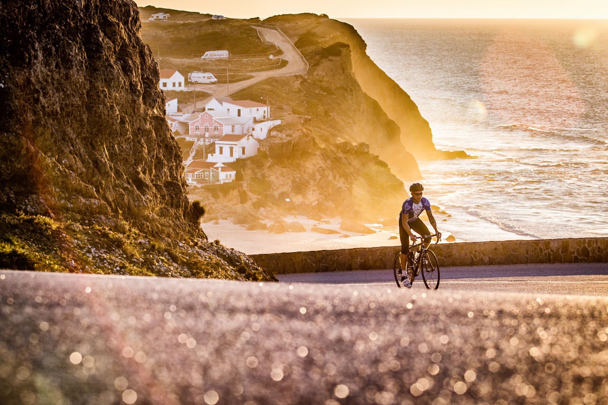
Sun, cliffs and endless roads in the Algarve
Epic sunset spots in Western Europe
Other adventures around Parque Natural do Sudoeste Alentejano e Costa Vicentina


Tips from the Community

You can watch the surfers nicely from the beach hut. Besides that, there was delicious food.
0
0

A great section with magnificent views of a wonderful coastal landscape.
1
0

Five kilometers from Sagres rises the mythical Cabo de São Vicente, the last gaze of land for explorers setting off towards the unknown of the vast ocean. Wild, windy, and imposing, this promontory of steep cliffs plunges into the Atlantic, crowned by one of Europe's most powerful lighthouses. Called by the Romans Promontorium Sacrum, the "end of the world" was for centuries a sacred place, shrouded in legends and mysteries. Today, it remains a pilgrimage point for sailors, hikers, and dreamers, where the horizon seems to dissolve into infinity.
2
0

Here you can sit directly by the parking lot with a view of the sea and enjoy something to eat and a drink.
0
0

Leading the way to the sea Infantry D. Henrique
0
0
Great view of the bay
0
0
Matching the flair of the city a great statue with surfboards
1
0

Frequently Asked Questions
How many running routes are available in Parque Natural do Sudoeste Alentejano e Costa Vicentina?
There are over 350 running routes mapped in the Parque Natural do Sudoeste Alentejano e Costa Vicentina, offering a wide variety of options for all skill levels. You'll find everything from easy coastal paths to more challenging inland trails.
What do other runners appreciate most about the trails in Parque Natural do Sudoeste Alentejano e Costa Vicentina?
The area is highly rated by the komoot community, with an average score of 4.3 stars from over 250 reviews. Runners frequently praise the stunning coastal views, the diverse natural landscapes, and the opportunity to immerse themselves in the region's untamed nature.
Are there easy running routes suitable for beginners in the Parque Natural do Sudoeste Alentejano e Costa Vicentina?
Yes, the park offers 27 easy running routes perfect for beginners or those looking for a more relaxed jog. These trails often feature gentler terrain and shorter distances, allowing you to enjoy the scenery without excessive challenge.
Can I find challenging running trails in this natural park?
Absolutely. For experienced runners seeking a challenge, there are 47 difficult routes available. These trails, such as the Cordoama Long Trail, often involve significant elevation changes and longer distances, providing a demanding workout amidst spectacular scenery.
Are there any circular running routes in the Costa Vicentina area?
Yes, there are several circular running routes. A popular option is the Pontal da Carrapateira — circular route in Costa Vicentina, which is a moderate 6.4-mile (10.3 km) path exploring coastal areas and dunes, bringing you back to your starting point.
Which running routes offer the best coastal views or dramatic cliffs?
Many routes showcase the region's dramatic coastline. The From Sagres to Cabo de São Vicente — route on the Costa Vicentina is a prime example, offering continuous coastal views along the rugged shoreline, including the iconic Cabo de São Vicente Lighthouse.
Are there any family-friendly running trails in Parque Natural do Sudoeste Alentejano e Costa Vicentina?
While specific 'family-friendly' designations aren't always explicit, many of the easier and moderate routes with less challenging terrain and shorter distances would be suitable for families. Look for trails that avoid steep climbs and are well-maintained, often found closer to villages or beaches.
Is parking available near the running trailheads in Parque Natural do Sudoeste Alentejano e Costa Vicentina?
Parking availability varies by trailhead. Many popular starting points, especially in or near villages like Sagres or Carrapateira, offer designated parking areas. For more remote trails, roadside parking might be an option, but it's always advisable to check local signage.
How can I reach the running routes using public transport?
Public transport options exist, primarily bus services connecting the main towns and villages within and around the park. However, direct access to all trailheads might be limited. Planning your route in advance and checking local bus schedules is recommended, especially for sections of the Rota Vicentina.
Are there any cafes or places to stop for refreshments along the running trails?
Yes, especially in the charming fishing villages and towns located along the coastline and near many trail sections. Places like Sagres, Carrapateira, and Vila Nova de Milfontes offer cafes, restaurants, and shops where you can refuel. For longer, more remote runs, it's wise to carry your own water and snacks.
What natural attractions can I see along the running routes?
The park is rich in natural beauty. You can encounter dramatic cliffs, pristine beaches like Amado Beach and Pessegueiro Island Beach, and diverse coastal habitats. Inland, you'll find woods, moors, and river estuaries, supporting a rich biodiversity including unique bird species and marine otters.
What is the best time of year for running in Parque Natural do Sudoeste Alentejano e Costa Vicentina?
Spring (March to May) and Autumn (September to November) are generally considered the best times. The weather is milder, making for more comfortable running conditions, and the landscapes are vibrant. Summers can be hot, especially inland, so early morning or late afternoon runs are advisable if visiting during peak season.
Are dogs allowed on the running trails in the park?
Generally, dogs are permitted on trails within the natural park, but it's crucial to keep them on a leash to protect the local wildlife and ensure the safety of other trail users. Always clean up after your pet. Specific restrictions might apply in certain protected areas or on beaches during nesting seasons, so check local regulations.
Most popular routes around Parque Natural do Sudoeste Alentejano e Costa Vicentina
Most popular attractions around Parque Natural do Sudoeste Alentejano e Costa Vicentina

Get inspired with the komoot mobile app


Explore more
Browse the best Running Trails & Routes in other regions.
