The best road cycling routes around Apuseni Mountains
4.1
(9)
223
riders
10
rides
Road cycling routes around Apuseni Mountains traverse a landscape characterized by significant elevation changes, deep river valleys, and extensive forests. The region features numerous mountain passes and winding roads that challenge cyclists with sustained climbs and descents. Road cycling paths often follow river courses, offering views of the Arieș River Valley and leading to notable points like the Tarnita Dam. The terrain is predominantly mountainous, providing a demanding yet rewarding experience for road cyclists.
Best road cycling routes around Apuseni Mountains
- The most popular road cycling route is Pasul Prislop loop from Munții Apuseni - Vlădeasa, a 60.6 miles (97.5 km) trail that takes about 4 hours 37 minutes to complete. This route features substantial climbs through mountainous terrain.
- Another top favourite among local road cyclists is View of the Arieș River Valley – Tarnita Dam loop from Hanul Beliș, a difficult 54.9 miles (88.5 km) path. This route offers panoramic views of the Arieș River Valley and passes by the Tarnita Dam.
- Local road cyclists also love the Cabana Vlădeasa loop from Hanul Beliș, a 54.7 miles (88.0 km) trail leading through forested mountain roads, often completed in about 4 hours 57 minutes.
- Road cycling around Apuseni Mountains is defined by challenging mountain passes, scenic river valleys, and dense woodlands. The network offers options for different ability levels, including several difficult routes and some moderate paths.
- The routes in Apuseni Mountains are highly rated by the komoot community with an average score of 4.0 stars from over 8 reviews. More than 260 road cyclists have used komoot to explore Apuseni Mountains's varied terrain.
Last updated: July 3, 2026
5.0
(1)
58
riders
88.5km
04:49
1,760m
1,760m
Hard road ride. Very good fitness required. Mostly well-paved surfaces and easy to ride.
11
riders
71.6km
03:57
1,460m
1,460m
Hard road ride. Very good fitness required. Mostly well-paved surfaces and easy to ride.

Sign up for free
14
riders
88.0km
04:58
1,910m
1,910m
Hard road ride. Very good fitness required. Mostly well-paved surfaces and easy to ride.
11
riders
75.3km
03:52
1,320m
1,320m
Hard road ride. Very good fitness required. Mostly well-paved surfaces and easy to ride.
13
riders
80.1km
03:58
1,190m
1,190m
Hard road ride. Very good fitness required. Some segments of this route may be unpaved and difficult to ride.
5.0
(2)
9
riders
97.5km
04:37
1,280m
1,280m
Hard road ride. Very good fitness required. Mostly well-paved surfaces and easy to ride.
3.0
(1)
10
riders
33.4km
02:03
730m
730m
Moderate road ride. Good fitness required. Some segments of this route may be unpaved and difficult to ride.
10
riders
54.8km
02:55
1,030m
1,030m
Hard road ride. Very good fitness required. Mostly well-paved surfaces and easy to ride.
3.0
(1)
8
riders
49.6km
02:29
790m
790m
Moderate road ride. Good fitness required. Mostly well-paved surfaces and easy to ride.
6
riders
29.0km
01:34
520m
520m
Moderate road ride. Good fitness required. Mostly well-paved surfaces and easy to ride.
Our route recommendations are based on thousands of hikes, rides, and runs completed by other people on komoot.
Start today with a free account
Your next adventure awaits.
Login or Signup
Tips from the Community

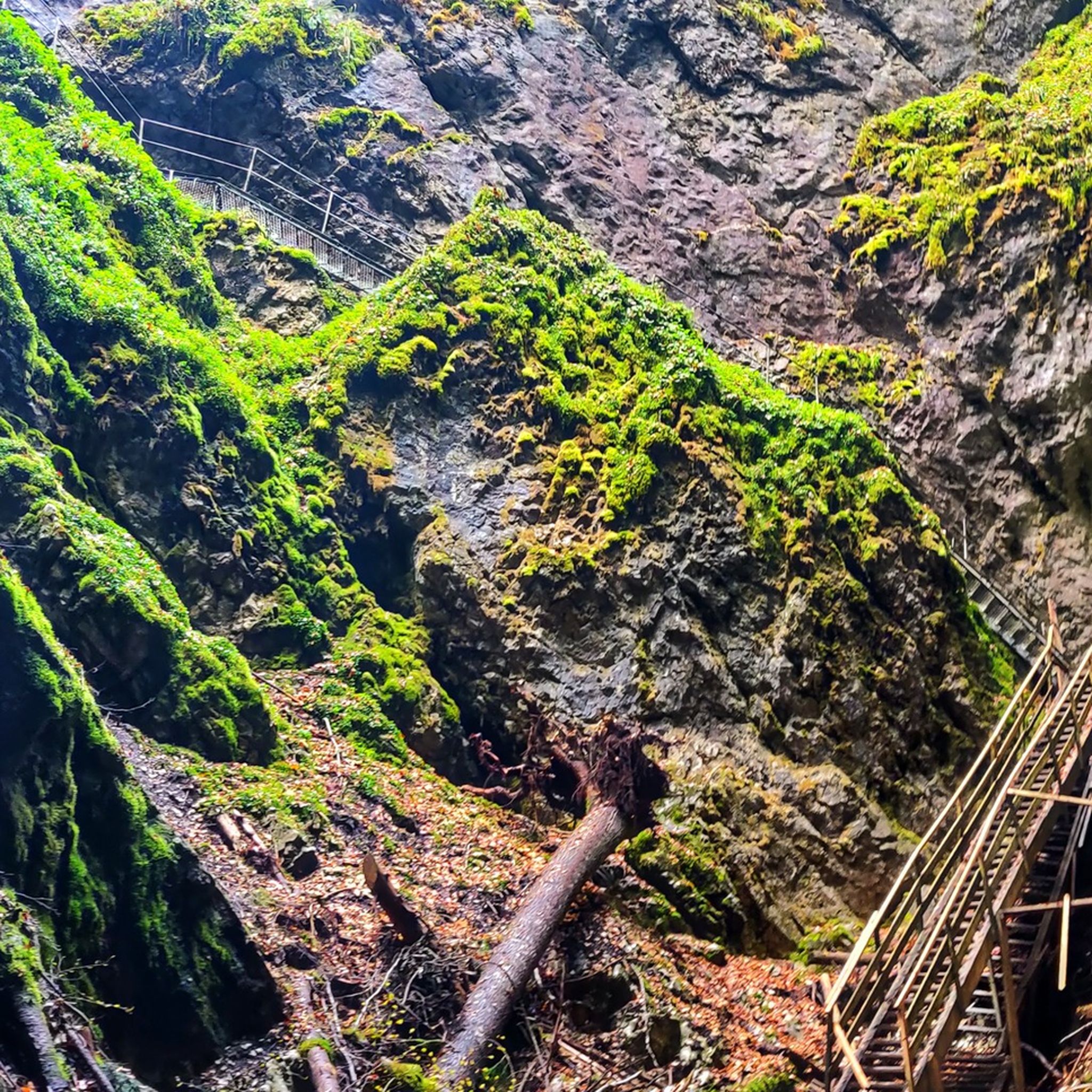
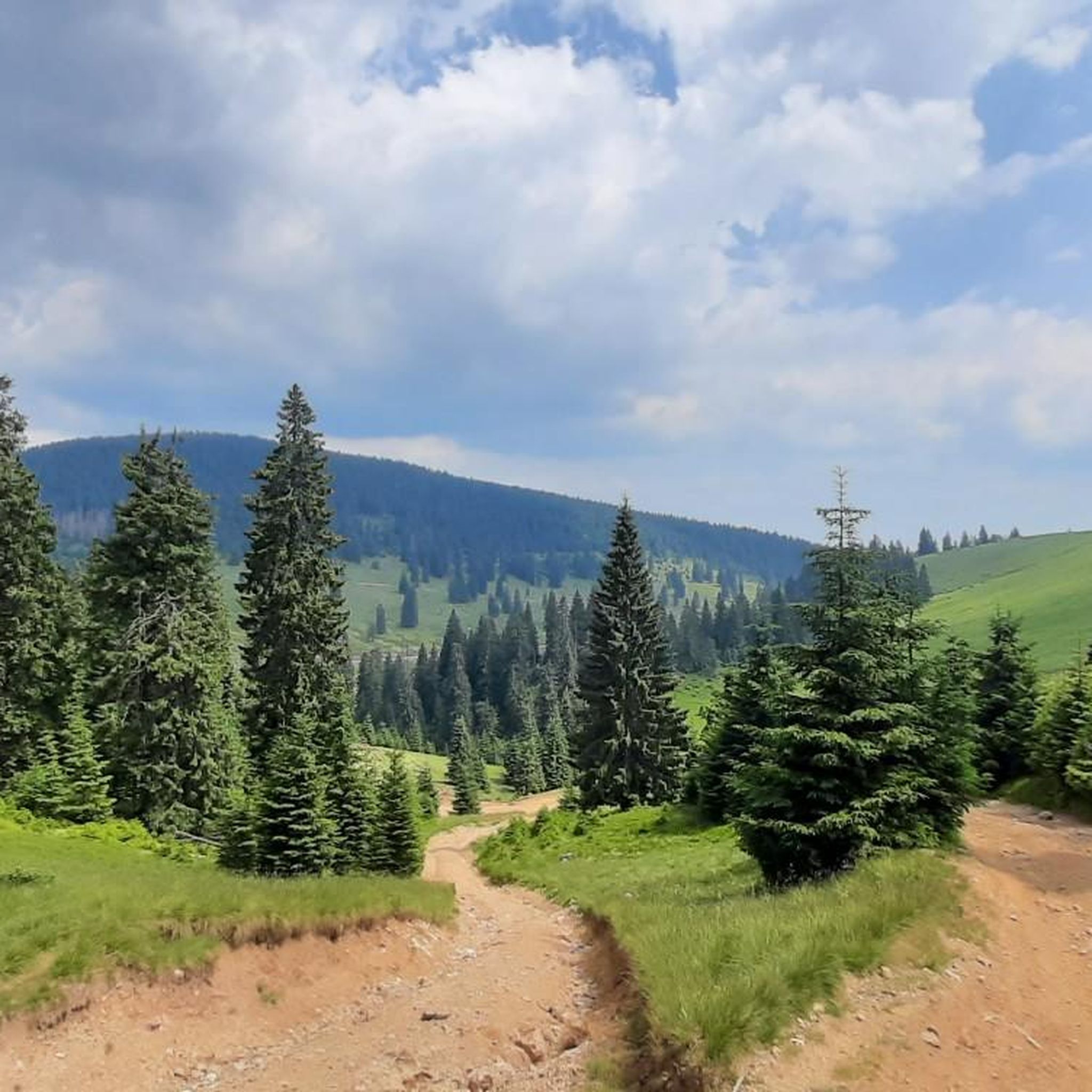
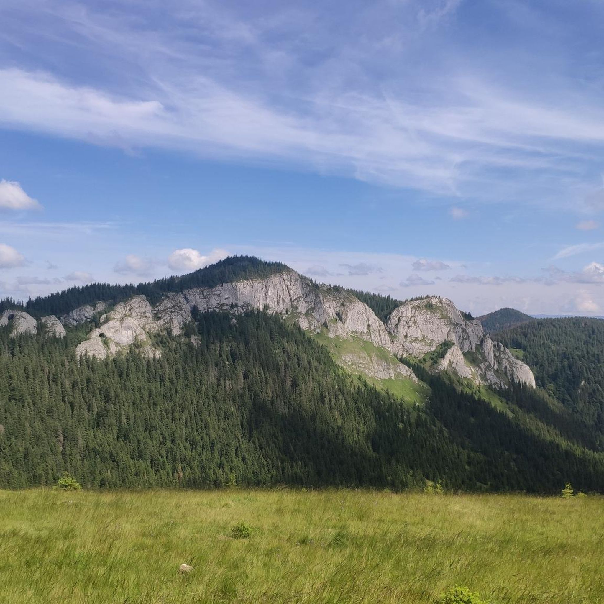
TransUrsoaia is a connecting road between Albac (Alba county) and Huedin (Cluj county) - crossing the lands of the "Moti" people, a spectacular , but less known road. The road is passing near the Belis-Fantanele lake - there are several spots suitable for some very nice pictures. It's a narrow road, but great for cycling and life's memories.
0
0
Beautiful roads, awesome climbs, fresh air, just a great route for cyclists
0
0

You can already see the church from afar when approaching Margau. The first church was built here in 1342, at that time it was still made of oak. Around 1506 it was replaced by a stone structure, which was destroyed by a lightning strike in 1798. Reconstruction began in 1804 and lasted until 1835. Since then there have been some renovations and extensions.
0
0
Frequently Asked Questions
What is the general difficulty level for road cycling in the Apuseni Mountains?
Road cycling in the Apuseni Mountains is predominantly challenging due to the mountainous terrain, significant elevation changes, and numerous passes. Most routes are rated as difficult, with 8 out of 11 routes falling into this category. There are also 3 moderate routes available for those seeking a less intense experience.
Are there any beginner-friendly road cycling routes in the Apuseni Mountains?
While the Apuseni Mountains are known for their challenging terrain, there are a few moderate routes that might be suitable for cyclists with some experience, though no routes are specifically rated as easy. For example, the Salvamont Cluj loop from Hanul Beliș is a shorter, moderate option.
Which routes offer a significant challenge for experienced road cyclists?
Experienced road cyclists looking for a demanding ride will find plenty of options. The Cabana Vlădeasa loop from Hanul Beliș is a difficult 54.7-mile (88.0 km) trail with over 1,900 meters of elevation gain, leading through dense forested mountain roads. Another challenging option is the View of the Arieș River Valley – Tarnita Dam loop from Hanul Beliș, which covers 54.9 miles (88.5 km) with over 1,700 meters of climbing.
What are some of the longer road cycling routes available in the Apuseni Mountains?
For longer rides, consider the Pasul Prislop loop from Munții Apuseni - Vlădeasa, which spans 60.6 miles (97.5 km) and typically takes around 4 hours and 37 minutes. Another extensive route is the Roadbike loop from Răchițele, covering 80.1 miles (128.9 km) with significant elevation changes.
What is the best season for road biking in the Apuseni Mountains?
The best season for road cycling in the Apuseni Mountains is generally from late spring (May) through early autumn (October). During these months, the weather is typically more stable, with warmer temperatures and less precipitation, making the mountain passes and winding roads more enjoyable and safer to navigate. Always check local weather forecasts before heading out.
Are there any scenic viewpoints or natural attractions along the road cycling routes?
Yes, the Apuseni Mountains offer numerous scenic viewpoints and natural attractions. Many routes provide panoramic views of the Arieș River Valley. You can also find highlights like the impressive Bridal Veil Waterfall or the unique geological formations of the Rusty Pit. The Transursoaia Road itself is a highlight, known for its stunning vistas.
What do other road cyclists enjoy the most about road cycling in the Apuseni Mountains?
The Apuseni Mountains are highly rated by the komoot community, with an average score of 4.0 stars from over 8 reviews. Cyclists often praise the challenging mountain passes, the scenic river valleys, and the dense woodlands that define the routes. The region offers a rewarding experience for those who appreciate demanding terrain and natural beauty.
Are there any circular road cycling routes in the Apuseni Mountains?
Yes, most of the road cycling routes in the Apuseni Mountains are designed as loops, allowing you to start and finish at the same point. Examples include the popular Pasul Prislop loop from Munții Apuseni - Vlădeasa and the Transursoaia Road loop from Beliș.
What kind of terrain can I expect on road cycling routes in the Apuseni Mountains?
The terrain in the Apuseni Mountains is predominantly mountainous, characterized by significant elevation changes, deep river valleys, and extensive forests. You can expect numerous mountain passes, sustained climbs, and winding descents. Roads often follow river courses, such as the Arieș River Valley, offering varied and demanding cycling experiences.
Are there any cafes or places to stop for refreshments along the road cycling routes?
While specific cafes are not listed for every route, many routes pass through or near small villages and settlements like Beliș or Răchițele, where you may find local shops or guesthouses (pensiuni) offering refreshments. It's always advisable to carry sufficient water and snacks, especially on longer or more remote sections.
Is public transport accessible for reaching road cycling trailheads in the Apuseni Mountains?
Public transport options to reach specific trailheads in the Apuseni Mountains can be limited, especially for more remote starting points. Buses connect larger towns in the region, but reaching smaller villages or mountain passes often requires private transport. It's recommended to plan your logistics carefully and consider driving to a suitable starting point with parking.
What are some lesser-known road cycling routes in the Apuseni Mountains?
For those looking to explore less frequented paths, routes like the Roadbike loop from Hanul Beliș or the Cotețul Dobreștilor – Peștera Poarta lui Ionele loop from Sturu might offer a more secluded experience. These routes still provide the challenging terrain and scenic beauty characteristic of the region but may see fewer cyclists.
Most popular attractions around Apuseni Mountains

Get inspired with the komoot mobile app


Explore more
Browse the best Road cycling routes in other regions.
