The best walks and hikes around Ostheim vor der Rhön
4.6
(20707)
70,476
hikers
177
hikes
Hiking trails around Ostheim vor der Rhön are situated within the Rhön Biosphere Reserve, offering diverse landscapes in the northernmost tip of Bavaria. The region features rolling hills, picturesque valleys, and the Streutal valley, providing varied terrain for outdoor activities. Trails often lead through mixed forests and along waterways like the Streu river, with elevations generally under 200 meters, classifying them as hills. This natural setting provides a backdrop of unspoiled nature and scenic views.
Best hiking trails around Ostheim…
Last updated: October 8, 2026
4.8
(162)
511
hikers
6.57km
01:57
200m
200m
Moderate hike. Great for any fitness level. Mostly accessible paths. Sure-footedness required.
4.7
(6)
20
hikers
4.41km
01:16
110m
100m
Moderate hike. Great for any fitness level. Mostly accessible paths. Sure-footedness required.

4.7
(153)
510
hikers
Easy hike. Great for any fitness level. Easily-accessible paths. Suitable for all skill levels.
4.8
(283)
728
hikers
Moderate hike. Good fitness required. Easily-accessible paths. Suitable for all skill levels.
4.7
(29)
112
hikers
12.3km
03:25
230m
230m
Moderate hike. Good fitness required. Easily-accessible paths. Suitable for all skill levels.
Get access to more routes and recommendations from other explorers.
Already have an account?
Our route recommendations are based on thousands of hikes, rides, and runs completed by other people on komoot.
Start today with a free account
Your next adventure awaits.
Popular around Ostheim vor der Rhön

Extra tours South - Excellent premium hiking trails of the Rhön

Naturlehrpfade – Natur und Wissen
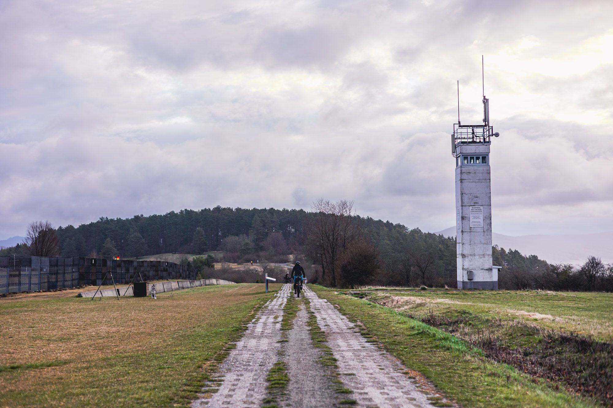
The Baltic Sea to Vogtland – 8 days along Germany's green former border
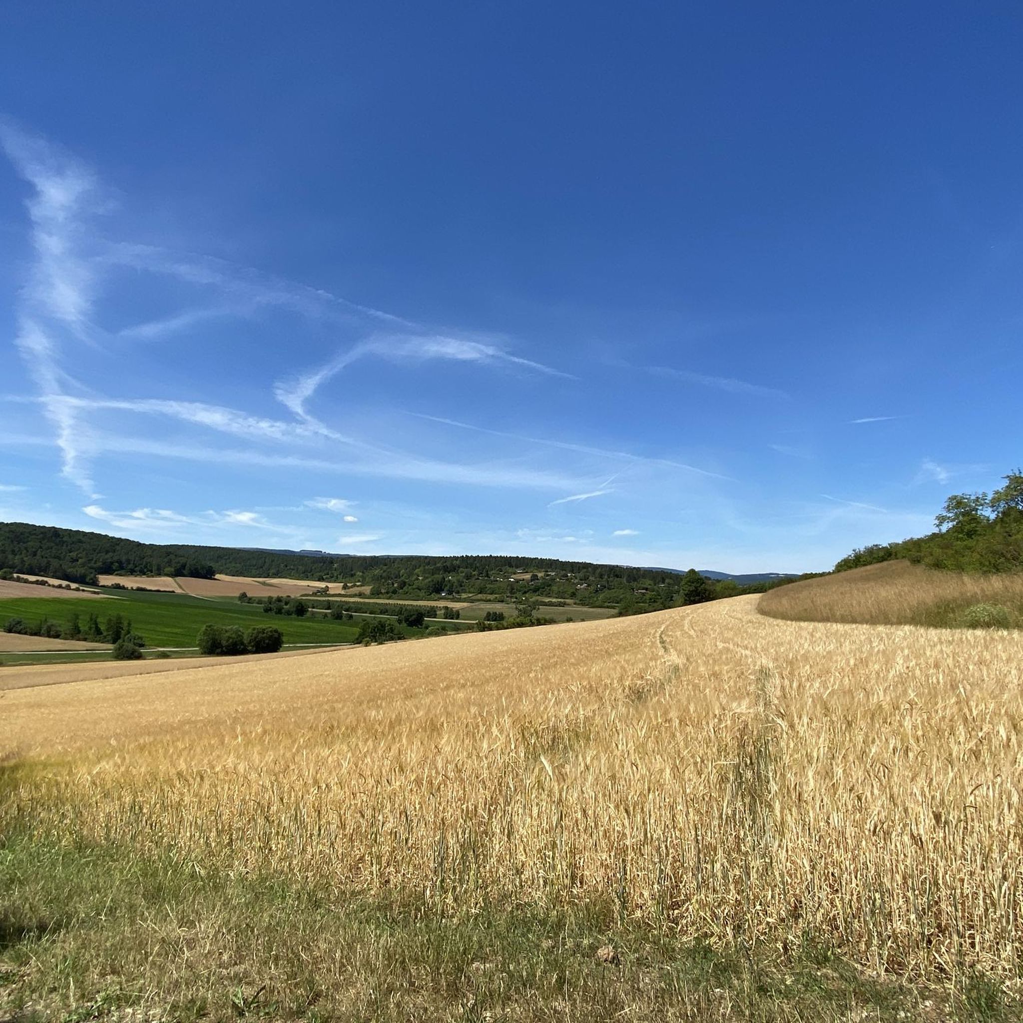
Cycling around Ostheim vor der Rhön
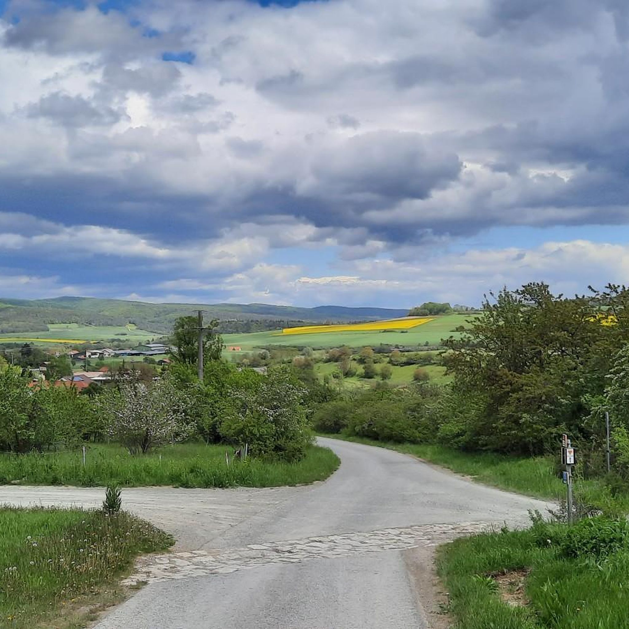
Running Trails around Ostheim vor der Rhön
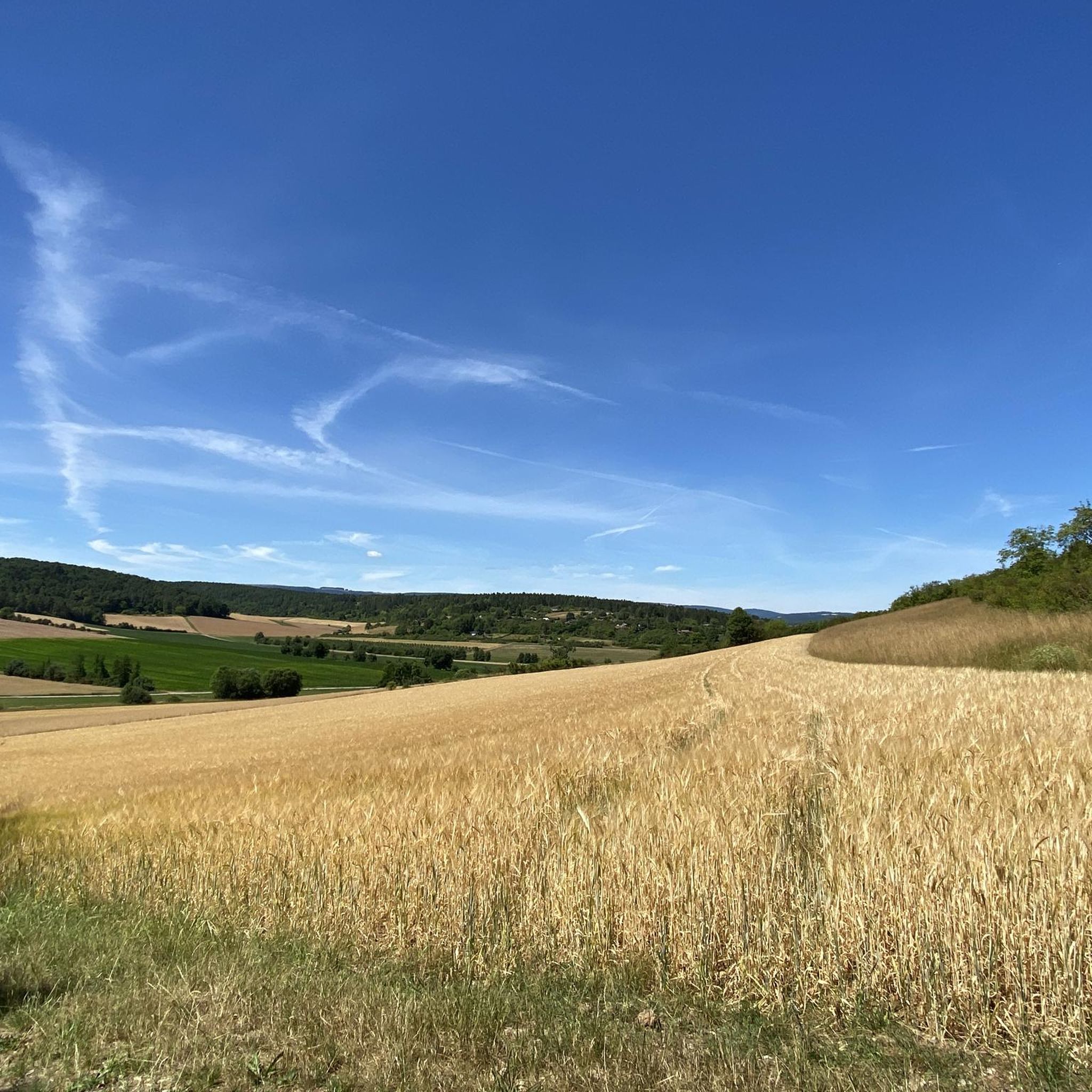
MTB Trails around Ostheim vor der Rhön
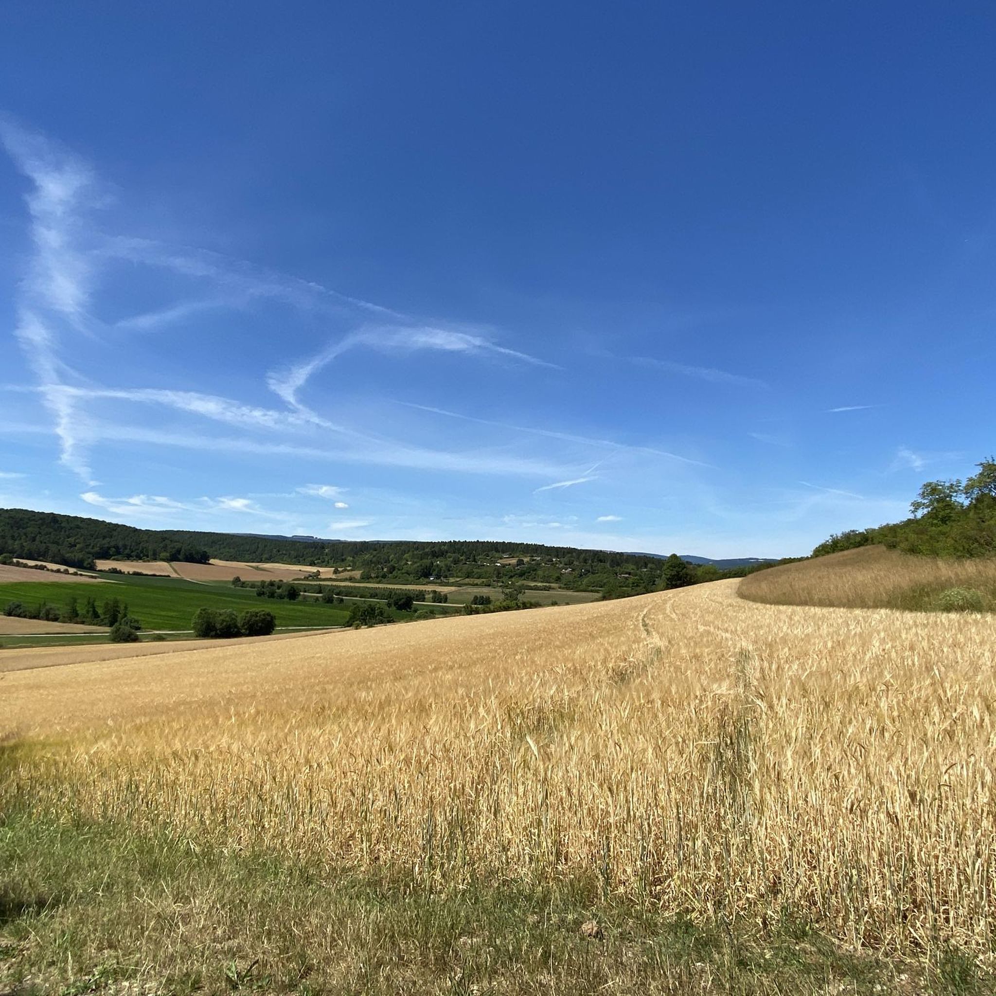
Road Cycling Routes around Ostheim vor der Rhön
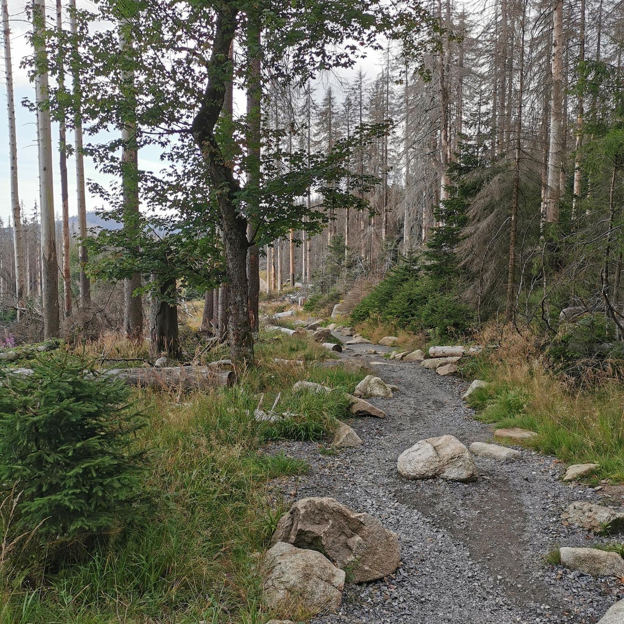
Gravel biking around Ostheim vor der Rhön
Other adventures around Ostheim vor der Rhön


Tips from the Community

You can see it well...
0
0

Beautifully located and well-maintained rest area that invites you to linger!
0
0
Great view of the Lichtenburg! Extensive renovation and restoration work is taking place there until summer 2026, so access is either not possible at all or only very limited!
0
0

...still clearly visible. The basalt block walls have survived the centuries in place
0
0
The striking mountains are clearly visible on the horizon
1
0

Great geological highlight at Gangolfsberg
0
0
Amazingly well-preserved ramparts from the old days. It's also great that you can see the original route on a map.
0
0

A beautiful place in nature with a wonderful view.
1
0
Frequently Asked Questions
How many hiking trails are available around Ostheim vor der Rhön?
There are over 180 hiking trails around Ostheim vor der Rhön, catering to various preferences and fitness levels. This includes 108 easy, 67 moderate, and 6 difficult routes, ensuring a diverse range of options for hikers.
What kind of terrain can I expect on hikes in Ostheim vor der Rhön?
The region is characterized by rolling hills, picturesque valleys, and the Streutal valley. Trails often lead through bright mixed forests and along waterways like the Streu river. While there are some challenging ascents, the elevations are generally under 200 meters, offering a mix of gentle and more demanding paths within the Rhön Biosphere Reserve.
Are there any family-friendly hiking options in Ostheim vor der Rhön?
Yes, Ostheim vor der Rhön offers many family-friendly options. Themed trails like the Blumenweg (Flower Trail) or Kirschweg (Cherry Trail) provide engaging experiences for children. Additionally, sections of the Ostheim Peace Cross Trail are described as flat and almost barrier-free, suitable for families with strollers. The Weyhershauk Nature Trail is another moderate option that explores natural features and is suitable for families.
What are some notable landmarks or natural features to see while hiking?
Hikers can explore several significant landmarks and natural features. The prominent Lichtenburg Castle, perched above the town, offers panoramic views. The Weyhershauk Nature Park is a specific natural feature to explore. The Kaskadenschlucht (Cascade Gorge) provides a varied forest route with bridges and rushing water. Slightly further afield, the Rotes Moor (Red Moor) is a beautiful nature reserve with a boardwalk trail. You might also encounter other historic sites like the Ruins of the Gangolfskapelle (Milseburg).
Are there circular hiking routes available?
Yes, many of the trails around Ostheim vor der Rhön are designed as circular routes. For example, the Gangolfsberg Nature Trail is a loop from Ostheim vor der Rhön. Themed trails and routes starting from the Bionade-Aktiv-Park are also typically circular, offering convenient starting and ending points.
Where can I find parking for hiking trails in Ostheim vor der Rhön?
The Bionade-Aktiv-Park serves as a central starting point for various marked hiking trails around Ostheim, suggesting ample parking facilities there. Many trailheads within the town and surrounding areas also offer designated parking for hikers.
What is the best time of year to go hiking in Ostheim vor der Rhön?
The Rhön Biosphere Reserve is beautiful throughout the warmer months, from spring to autumn. Spring brings blooming flowers, while autumn offers vibrant foliage. The mixed forests and waterways provide a refreshing experience during summer. Winter hiking is also possible, with the landscape transforming into a serene, snow-covered environment, though specific trail conditions should be checked.
Are there any routes that include a pub or cafe along the way?
While specific routes with pubs are not detailed, the region is known for its hospitality. The Jagdschloss Holzberghof is listed as a restaurant highlight, which could be a destination or stop on a longer hike. Many villages and towns in the Rhön, including Ostheim itself, offer cafes and pubs where you can refresh after your hike.
What do other hikers enjoy most about hiking in Ostheim vor der Rhön?
The area is highly rated by the komoot community, with an average score of 4.5 stars from over 4000 reviews. Reviewers often praise the diverse landscapes, from rolling hills and forests to picturesque valleys, and the well-marked network of trails. The combination of natural beauty and historical landmarks like Lichtenburg Castle also contributes to a highly enjoyable hiking experience.
Are there any easy hiking trails suitable for beginners?
Yes, Ostheim vor der Rhön offers over 100 easy trails, perfect for beginners or those seeking a leisurely walk. Themed trails like the Blumenweg or Kirschweg are generally less strenuous. Additionally, sections of the Ostheim Peace Cross Trail are described as flat and almost barrier-free, making them ideal for an easy introduction to hiking in the region.
Can I bring my dog on the hiking trails?
Generally, dogs are welcome on hiking trails in the Rhön Biosphere Reserve. However, it's always advisable to keep dogs on a leash, especially in nature protection areas, near livestock, or during nesting seasons, to protect wildlife and ensure a pleasant experience for all hikers. Specific rules may apply to certain protected areas, so look for local signage.
Most popular routes around Ostheim vor der Rhön
Most popular attractions around Ostheim vor der Rhön

Get inspired with the komoot mobile app


Explore more
Browse the best Hikes in other regions.
