The best walks and hikes around Osloß
4.6
(3167)
16,455
hikers
25
hikes
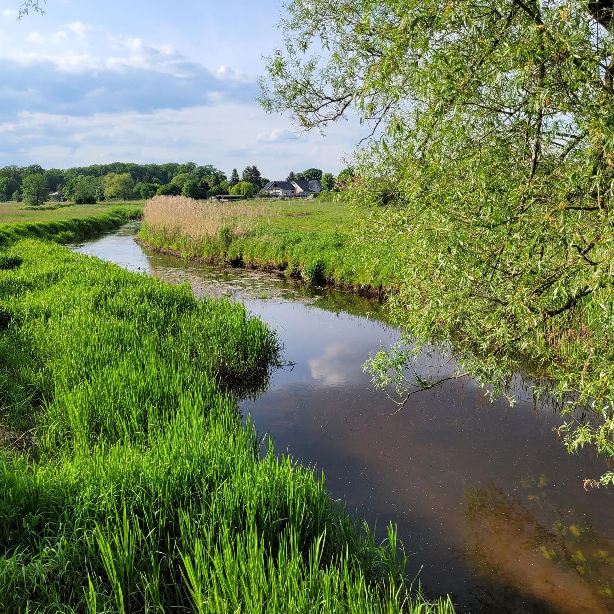
Hiking around Osloß, a municipality in Lower Saxony, Germany, offers diverse landscapes situated between the Südheide and Drömling nature parks and alongside the Aller River. The region features the internationally recognized Barnbruch Nature Reserve, with trails winding through its natural beauty. The landscape also includes the Aller River floodplains, picturesque canal-side paths, and a mix of open fields and forests. Elevation gains are generally minimal, making for accessible paths.
Best hiking trails around Osloß
- The most popular hiking route is…
Last updated: July 13, 2026
4.6
(15)
36
hikers
Moderate hike. Good fitness required. Easily-accessible paths. Suitable for all skill levels.
4.8
(5)
14
hikers
Moderate hike. Good fitness required. Easily-accessible paths. Suitable for all skill levels.

Sign up for free
4.1
(15)
14
hikers
8.72km
02:13
20m
20m
Moderate hike. Good fitness required. Easily-accessible paths. Suitable for all skill levels.
4.5
(2)
18
hikers
4.64km
01:11
20m
20m
Easy hike. Great for any fitness level. Easily-accessible paths. Suitable for all skill levels.
10
hikers
Easy hike. Great for any fitness level. Easily-accessible paths. Suitable for all skill levels.
Get access to more routes and recommendations from other explorers.
Sign up for free
Already have an account?
Our route recommendations are based on thousands of hikes, rides, and runs completed by other people on komoot.
Start today with a free account
Your next adventure awaits.
Login or Signup
Tips from the Community

From the bridge between Bokensdorf and Dannenbüttel, you have one of the most beautiful unobstructed views of the Mittellandkanal. Especially in the evening, the sky and passing ships are reflected in the water – a peaceful spot to pause and enjoy the vastness of the canal landscape.
0
0
The information board "Brockenblick" on the Elbe-Seitenkanal is a really nice short stopover: From here you get a great impression of the surroundings and – with clear visibility – even a hint of the Brocken in the Harz mountains. The quiet spot right by the water is particularly pleasant, ideal for a short break while cycling or walking.
0
0
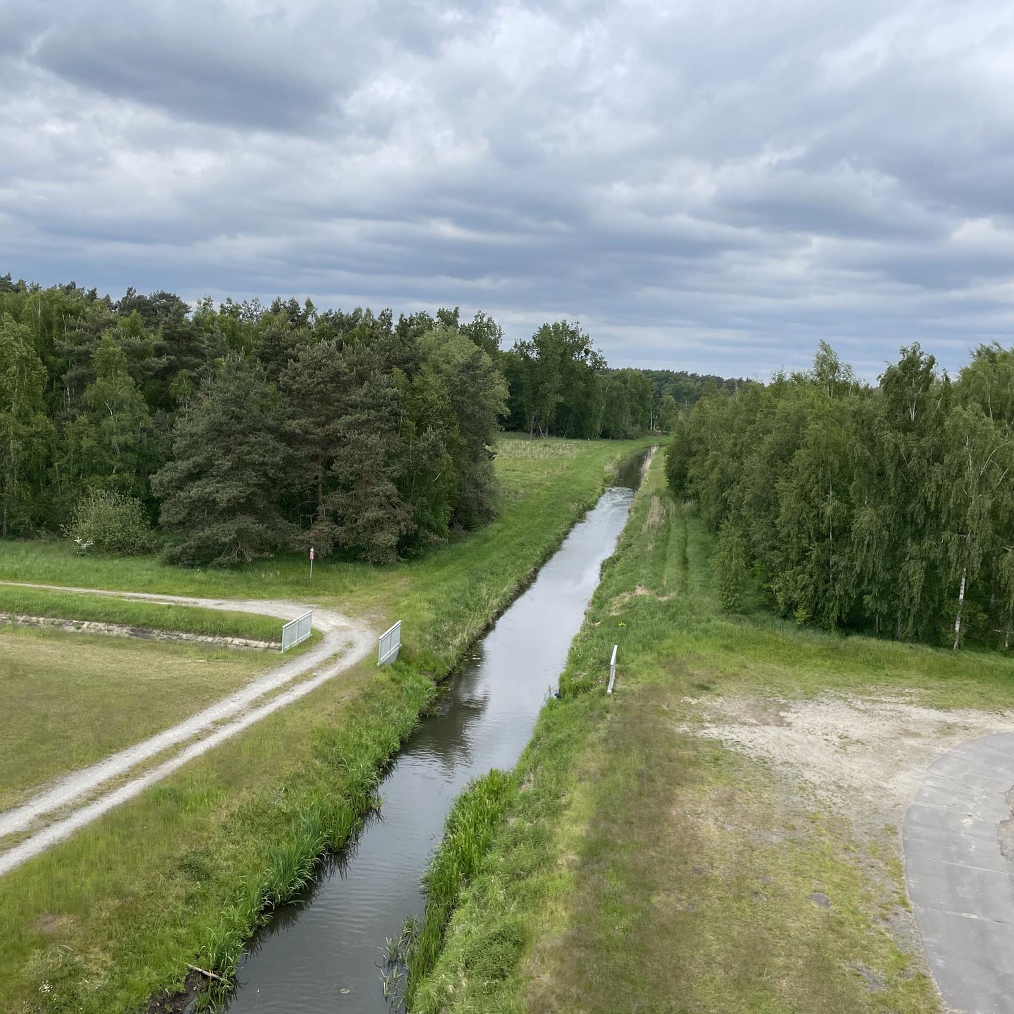
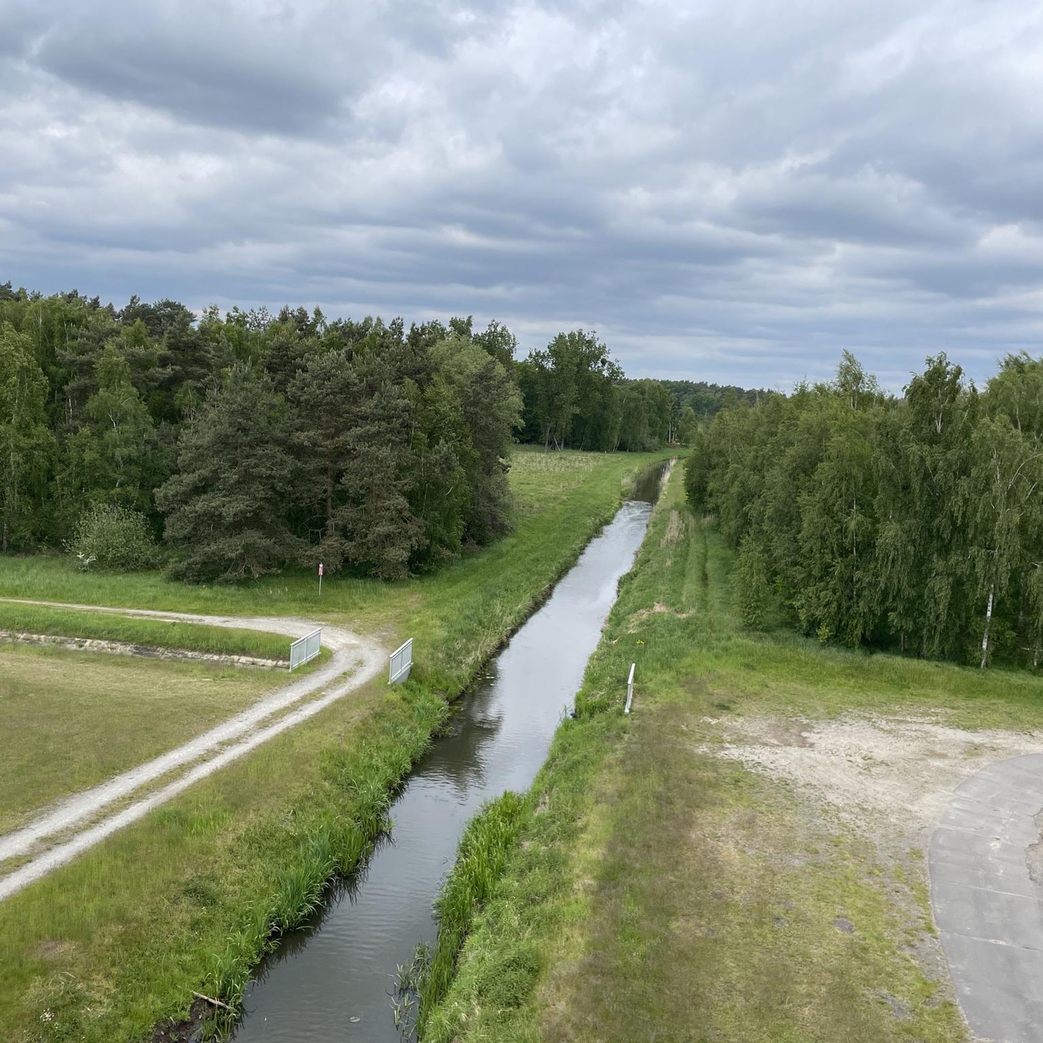
The "Schleusentor" (sluice gate) near Weyhausen is a central hydraulic engineering element in the Barnbruch nature reserve. It marks a historically and ecologically significant point where the Aller river is regulated. The sluice gate serves to regulate the water flow between the canal and the old riverbed. In times of high water, it plays a crucial role in flood protection for the downstream areas (such as Gifhorn).
0
0
The stone was erected in 1913 to commemorate the centenary of the liberation from Napoleonic rule and, in particular, the Battle of the Nations near Leipzig (1813). During this period, such "century stones" or "Battle of the Nations monuments" were erected throughout Germany (and especially in what was then Prussia) to celebrate the 100th anniversary of the victory over Napoleon and the associated awakening of German national consciousness.
0
0

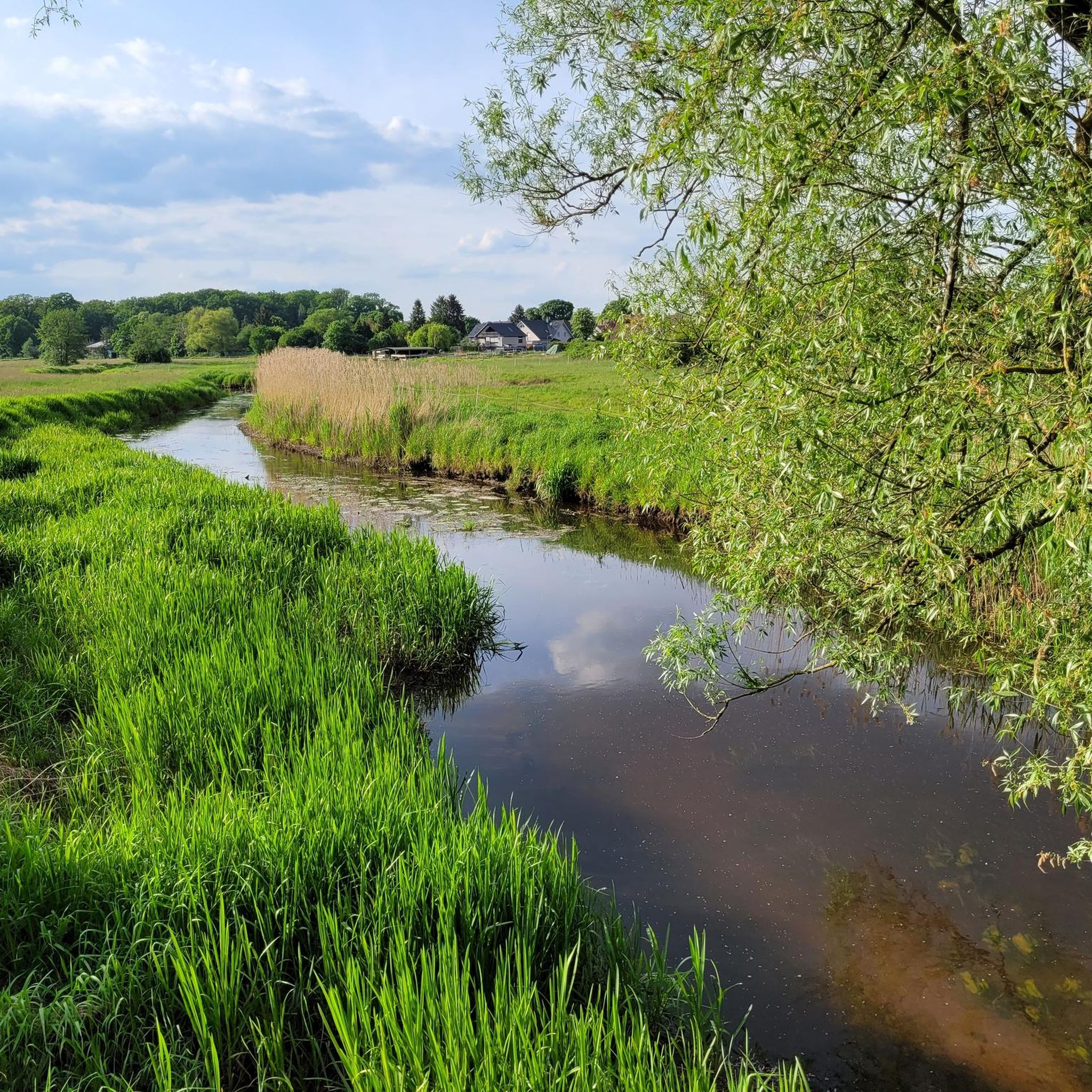
Otters and beavers also feel at home here.
1
0

You can enjoy a wonderful view of the central canal and walk along the dike all the way to Osslos.
0
0

If you take a closer look while riding, or are just wondering...the countless small pieces of glass permanently scattered on the bike path aren't the result of boozy Father's Day rides with handcarts, but rather...vast amounts of additional broken glass were actually used in the construction of the dams on both sides. However, the small pieces had previously been smoothed through recycling and were/are no longer sharp. Just pay attention; they're lying around everywhere.
3
0
If you take a closer look while riding, or are just wondering...the countless small pieces of glass permanently scattered on the bike path aren't the result of boozy Father's Day rides with a handcart, but rather...a huge amount of additional broken glass was actually used in the construction of the two dams on the right and left. However, the small pieces were previously smoothed through recycling and are therefore no longer sharp. Just pay attention; they're lying around everywhere.
0
0
Frequently Asked Questions
What kind of terrain can I expect on hiking trails around Osloß?
Hiking around Osloß offers diverse landscapes, primarily characterized by minimal elevation gain, making for generally accessible paths. You'll find trails winding through the internationally recognized Barnbruch Nature Reserve, along the Aller River and its floodplains, and picturesque canal-side paths. Many routes also traverse a mix of open fields and forests, providing varied scenery.
Are there easy hiking options suitable for beginners or casual walkers?
Yes, Osloß has several easy hiking options. Approximately 10 of the 24 routes in the area are classified as easy. An example is the Osloß Sluice loop from Osloß, which is about 4.6 km (2.9 miles) long and takes around 1 hour and 10 minutes. Another easy option is the Bridge Over the Aller Canal – Königsallee in the Barnbruch Nature Reserve loop from Osloß, offering views of the Aller Canal.
What natural features or landmarks can I see while hiking in Osloß?
The region is rich in natural beauty. You can explore the Barnbruch Nature Reserve, known for its wildlife like otters and beavers. The Aller River and its floodplains are prominent, with the Allerauen-Erlebnispfad offering insights into the river's history. You might also encounter the significant confluence of the Elbe Lateral Canal and the Mittelland Canal, or the gentle hills of Gifhorn Heath, sometimes called 'Gifhorner Switzerland'.
Are there any circular hiking routes available in Osloß?
Yes, many of the hiking routes around Osloß are circular, allowing you to start and end at the same point. For instance, the popular Barnbruch Nature Reserve – Barnbruch Nature Reserve loop from Osloß is a moderate 11.3 km (7.0 miles) trail. Another option is the Osloß Sluice – Osloß Mooring Point loop from Osloß, which is 8.7 km (5.4 miles) and explores the Aller River area.
What do other hikers say about the trails in Osloß?
The hiking trails in Osloß are highly regarded by the komoot community, with an average score of 4.6 stars from over 1,900 reviews. Hikers often praise the diverse landscapes, the tranquility of the Barnbruch Nature Reserve, and the well-maintained paths along the Aller River and canals. Over 11,000 hikers have used komoot to explore the area's varied terrain.
Can I find family-friendly hiking trails in Osloß?
Osloß offers several trails suitable for families, particularly those looking for easy strolls with minimal elevation. The diverse scenery of open fields, forests, and riverbanks provides an engaging environment for children. The Osloß Sluice loop from Osloß is a shorter, easy option that families might enjoy.
Are there any historical sites or castles near the hiking routes?
While hiking in Osloß, you're not far from historical attractions. Nearby, you can visit Wolfsburg Castle, which is set within a beautiful park and surrounded by the Aller River. Another notable site is Fallersleben Castle, offering a glimpse into the region's past.
What are the best seasons for hiking in Osloß?
Osloß offers pleasant hiking experiences across multiple seasons. Spring brings blooming nature, while summer allows for warmer walks and opportunities to visit nearby spots like Tankumsee Beach for a swim. Autumn provides a beautiful display of colors, especially in areas like Gifhorn Heath. The generally flat terrain also makes some routes accessible for winter walks, though conditions should always be checked.
Are there any places to relax or swim after a hike?
Yes, after a hike, you can find spots to relax. Tankumsee Beach is a popular destination for swimming during the summer months. For a more tranquil setting, the Forellensee Osloß (Osloß Trout Lake), surrounded by forests, provides a peaceful environment.
How many hiking trails are there in the Osloß area?
There are over 20 hiking trails available around Osloß, with a total of 24 routes listed. These include a good mix of easy and moderate options, ensuring there's something for various fitness levels and preferences.
What is the longest moderate hike I can do in Osloß?
One of the longer moderate hikes in the area is the Barnbruch Nature Reserve – Barnbruch Nature Reserve loop from Osloß. This trail covers approximately 11.3 km (7.0 miles) and typically takes around 2 hours and 51 minutes to complete, offering an immersive experience through the significant nature reserve.
Are there any trails that offer views of canals or waterways?
Absolutely. The landscape around Osloß features picturesque canal-side paths. You can explore routes that lead along the Aller River and its floodplains, or near the significant confluence of the Elbe Lateral Canal and the Mittelland Canal. The Bridge Over the Aller Canal – Königsallee in the Barnbruch Nature Reserve loop from Osloß is an easy trail that provides direct views of the Aller Canal.
Most popular attractions around Osloß

Get inspired with the komoot mobile app


Explore more
Browse the best Hikes in other regions.
