The best road cycling routes around Ort im Innkreis
4.7
(125)
2,090
riders
170
rides
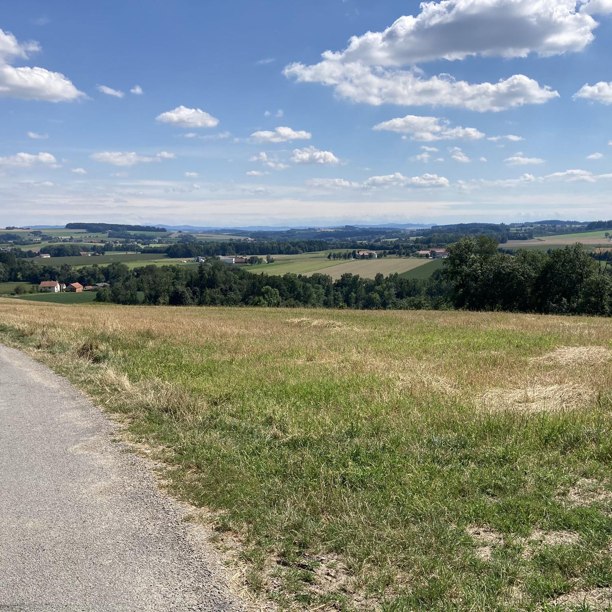
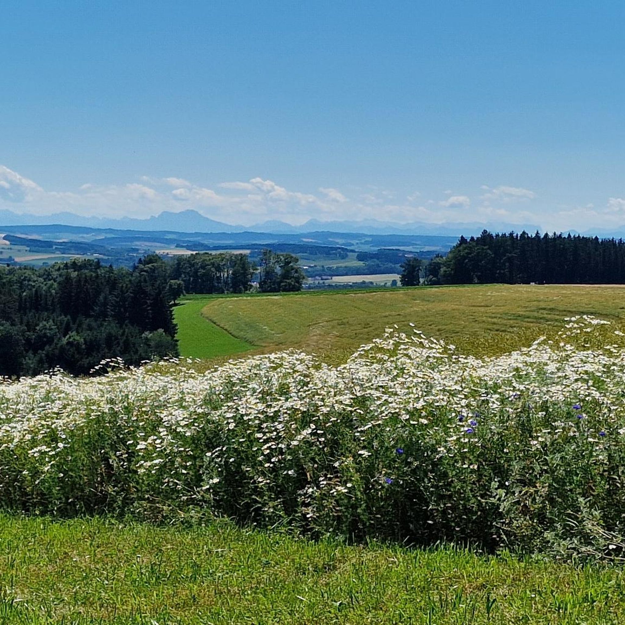
Road cycling routes around Ort im Innkreis traverse the gentle topography of the Inn River valley, characterized by rolling hills and agricultural landscapes. The region offers a network of paved roads suitable for various cycling abilities. Elevation gains are generally moderate, with some routes featuring climbs over 200 meters. The area's terrain provides a mix of open stretches and scenic sections through rural environments.
Best road cycling routes around Ort im Innkreis
- The most popular road cycling route is Upper…
Last updated: October 18, 2026
3.9
(16)
163
riders
Moderate road ride. Good fitness required. Some segments of this route may be unpaved and difficult to ride.
4.7
(3)
88
riders
Easy road ride. Great for any fitness level. Mostly well-paved surfaces and easy to ride.

4.3
(3)
85
riders
41.1km
01:53
200m
200m
Easy road ride. Great for any fitness level. Mostly well-paved surfaces and easy to ride.
3.0
(2)
30
riders
Moderate road ride. Good fitness required. Mostly well-paved surfaces and easy to ride.
5.0
(1)
27
riders
Moderate road ride. Good fitness required. Mostly well-paved surfaces and easy to ride.
Get access to more routes and recommendations from other explorers.
Already have an account?
Our route recommendations are based on thousands of hikes, rides, and runs completed by other people on komoot.
Start today with a free account
Your next adventure awaits.

Tips from the Community

Great event location near the Inn.
0
0

Schloss Neuhaus am Inn is located in Bavaria, Germany, and offers splendid panoramic views of the Inn river valley
0
0


Also a good place to stop for refreshments
0
0
The small Bavarian-Austrian border crossing
0
0

Optimal hotspot with a view of the castle for taking perfect pictures. An ice cream parlor is also located right on site.
3
0

The Münsteuer parish church is located in the hamlet of Münsteuer in the cadastral municipality of Hart in the market town of Reichersberg in Upper Austria. The Roman Catholic parish church of Saints Peter and Paul.
0
0

Ried is situated in the heart of the Innviertel hill country, in a depression of the Alpine foothills north of the Hausruck Forest. The town's name derives from the Middle High German word "Riet" (also: "Rieth," "Reet," "Rohr," and similar terms), meaning reeds growing on riverbanks and marshy ground. A spot where the gradient of the two rivers, Oberach and Breitsach, slowed and saturated the soil gave the town its name. The two rivers converge north of the old town to form the Rieder Bach, a stream that flows for 2.6 kilometers before emptying into the Antiesen River outside the town limits. Ried im Innkreis lies at an altitude of 433 meters. It extends 3.2 kilometers from north to south and 3.6 kilometers from west to east, covering a total area of 6.7 square kilometers.
3
0
Frequently Asked Questions
How many road cycling routes are available around Ort im Innkreis?
There are over 170 road cycling routes available around Ort im Innkreis, catering to various skill levels from easy to difficult.
Are there easy road cycling routes suitable for beginners in Ort im Innkreis?
Yes, the region offers over 30 easy road cycling routes. A great option for beginners is the Main Square, Ried im Innkreis loop from Hart im Innkreis, which is 23.9 miles (38.6 km) long with moderate elevation.
What kind of terrain can I expect on road cycling routes in Ort im Innkreis?
The routes traverse the gentle topography of the Inn River valley, characterized by rolling hills and agricultural landscapes. You'll find a mix of open stretches and scenic sections through rural environments, with generally moderate elevation gains.
Are there any longer distance road cycling routes for experienced riders?
Absolutely. For a longer ride, consider the Passau Gate – Schärding Town Square loop from Hart im Innkreis, which covers 50.1 miles (80.7 km) and explores historical gateways and surrounding landscapes.
What are some scenic highlights or attractions I can see along the road cycling routes?
Many routes offer scenic views and pass by interesting landmarks. You might encounter the historic Obernberg am Inn Market Square, the impressive Reichersberg Abbey, or the tranquil Hartkirchen Quarry Lake. The Inn Dam Path in Unterer Inn Nature Reserve also offers beautiful natural scenery.
Are there any circular road cycling routes in the area?
Yes, many routes are designed as loops. A popular circular route is the Upper Town Square, Schärding – Schärding Town Square loop from Hart im Innkreis, connecting historic town squares along the Inn River.
What do other road cyclists enjoy most about road cycling in Ort im Innkreis?
The area is highly rated by the komoot community, with an average score of 4.7 stars from over 90 reviews. Cyclists often praise the varied terrain, the scenic views along the Inn River, and the well-maintained roads that cater to different abilities.
Are there routes that pass by historical sites or cultural landmarks?
Yes, several routes incorporate historical and cultural points of interest. For example, the Reichersberg Abbey – Obernberg am Inn Market Square loop from Hart im Innkreis takes you past significant historical sites.
Can I find routes that are suitable for families with children?
While specific 'family-friendly' designations aren't always explicit, the region's gentle topography and numerous easy routes, such as the Main Square, Ried im Innkreis loop from Hart im Innkreis, are generally suitable for families looking for less challenging rides.
Are there road cycling routes that include castles or other impressive buildings?
Yes, you can find routes that pass by notable structures. The Aurolzmünster Castle – Pram Reservoir loop from Hart im Innkreis is an example of a route that features a castle along its path.
What is the best time of year for road biking in Ort im Innkreis?
The spring, summer, and early autumn months generally offer the most favorable conditions for road biking in Ort im Innkreis, with pleasant temperatures and lush landscapes. Always check local weather forecasts before heading out.
Are there options for advanced road cyclists looking for more challenging rides?
While the region is known for its gentle topography, there are routes with more significant elevation gains for advanced cyclists. Over 10 routes are classified as difficult, offering more challenging climbs and longer distances to test your endurance.
Most popular attractions around Ort im Innkreis

Get inspired with the komoot mobile app


Explore more
Browse the best Road cycling routes in other regions.
