Attractions and Places To See around Dreienberg - Top 17
Best attractions and places to see around Dreienberg, a 525-meter high, three-peaked mountain located south of Friedewald, Germany, offers a range of historical landmarks and natural features. The region is known for its extensive hiking opportunities, including the Extratour "Dreienberg" Hiking Trail. Visitors can explore protected rare flora, such as calcareous dry grasslands and various orchid species, and enjoy panoramic views of the surrounding landscape. The area combines cultural heritage with diverse outdoor activities.
Best attractions and places to see…
Last updated: July 6, 2026
Dreienburg Ruins
Highlight • Castle
Translated by Google •
Tip by

Lautenhausen Shelter and Forest Fountain
Highlight • Mountain Hut
Translated by Google •
Tip by

Sign up now to discover places like this
Get recommendations on the best single tracks, peaks, & plenty of other exciting outdoor places.
Sign up for free
Stärkelsbach spring and information board
Highlight • Natural Monument
The course of the Stärkelsbach begins in a short valley meadow, surrounded by wooded slopes everywhere except in the east-northeast, on the …
Translated by Google •
Tip by

Stone cairns on Dreienberg
Highlight • Structure
Translated by Google •
Tip by

Hillartshausen Shelter with Views over the Kuppenrhön
Highlight • Mountain Hut
Certainly the most beautiful place for a rest on the panorama path ...!
Translated by Google •
Tip by

Sign up for free to discover even more attractions around Dreienberg.
Sign up for free
Already have an account?
Start today with a free account
Your next adventure awaits.
Login or Signup
Popular around Dreienberg


Tips from the Community

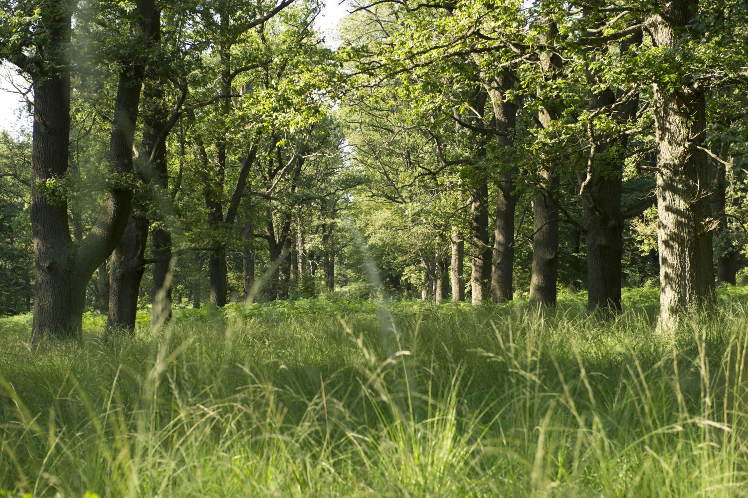
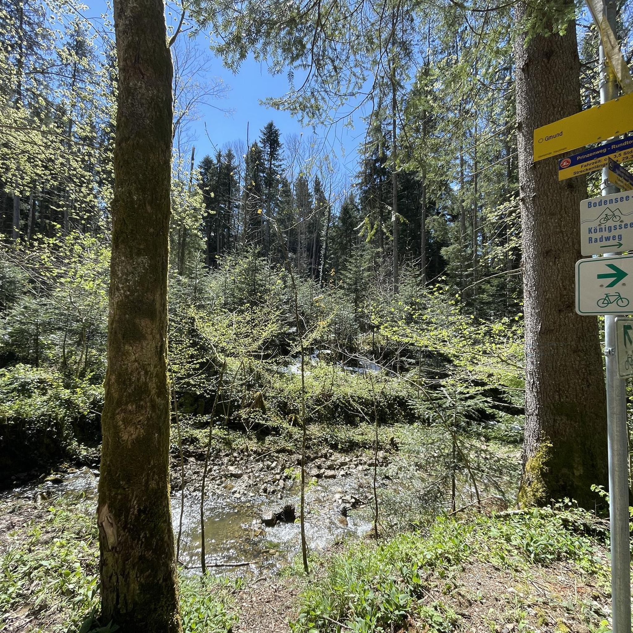
Among the shelters along the Rhön-Extratour "Dreienberg" trail, this one stands out particularly - besides the hut and outdoor seating, there is also a spring. Especially in summer, this shady spot is very pleasant. Although there is no view, the other shelters offer that.
2
0

An old ruin where, unfortunately, not much remains. Otherwise, a nice farewell.
0
0

A nice, manageable ruin in the middle of beautiful nature. It's a good place to rest and let your imagination run wild.
3
0

Stärkelsbach spring & information board springs on Dreienberg The course of the Stärkelsbach begins in a short valley meadow, surrounded by wooded slopes everywhere except in the east-northeast, on the eastern edge of the Dreienberg, which is up to 525 m above sea level and is the northernmost elevation of the Rhön low mountain range, around 200 meters north of the Dreienburg castle ruins, which stood on a shell limestone spur almost 100 meters higher and projecting to the east. After about 0.7 kilometers of northeasterly flow through meadows, the stream crosses the Friedewald district of Lautenhausen, now heading east. After another 0.8 kilometers through meadows, the Stärkelsbach is diverted to the east-southeast by the red sandstone slope of the Seulingswald, which extends there to the northeast; There, federal highway 62, coming from the northwest across the fields and meadows of Friedewald, joins the Stärkelsbach, whose course it initially follows on the left side on the southern edge of the Seulingswald, while meadows continue to line the banks of the stream opposite. After another 700 meters or so, the stream reaches the Philippsthal district of Unterneurode, where the Hillartshäuser water coming from Friedewald-Hillartshausen flows into it from the southwest and the federal highway changes to its right side. After initially following the foothills of the Seulingswald, which are partly unforested on the lower slope, for just over a kilometer and then for just under a kilometer southeast, the Stärkelsbach, now lined with woodland, reaches the village of Heimboldshausen, which it crosses from west to east. Barely a quarter of a kilometer after the Gerstungen–Vacha railway line, which runs parallel to the river west of it, has crossed it in the area of the former train station, the Stärkelsbach flows into the Werra from the left. Source: https://de.wikipedia.org/wiki/Stärkelsbach
2
1
Shelter with rest area and fountain 👌🏼
2
1

The refuge, located in the middle of the forest, is ideal for hikers and bikers.
1
2

The round is very beautiful. Above all, the path is not difficult and is very well signposted. And also suitable for “hiking beginners” because there are hardly any inclines
2
0

Unfortunately, many stone towers have been vandalized recently :-( However, there are still a few stone towers on the side of the path and offer those passing by the opportunity to expand them or build a tower with new stones.
0
0
Frequently Asked Questions
What historical landmarks can I explore around Dreienberg?
The region offers several historical sites. You can visit the Dreienburg Ruins, also known as "Alter Keller," a spur castle ruin with an information board detailing its history. Other notable landmarks include the 14th-century Walterskirche Ruin and the medieval abandoned village of Hammundeseiche, which features the "Dicke Eiche" (Thick Oak) and foundations of an old church.
Are there good hiking opportunities around Dreienberg?
Yes, Dreienberg is renowned for its extensive hiking opportunities. The Extratour "Dreienberg" Hiking Trail is a panoramic circular route, approximately 8.3 kilometers long, marked with a red "D." It's considered an easy route suitable for all fitness levels, taking about 135 minutes to complete. You can also find various other trails, including those that pass by the Dreienburg Ruins and offer scenic views.
What natural features can I discover in the Dreienberg area?
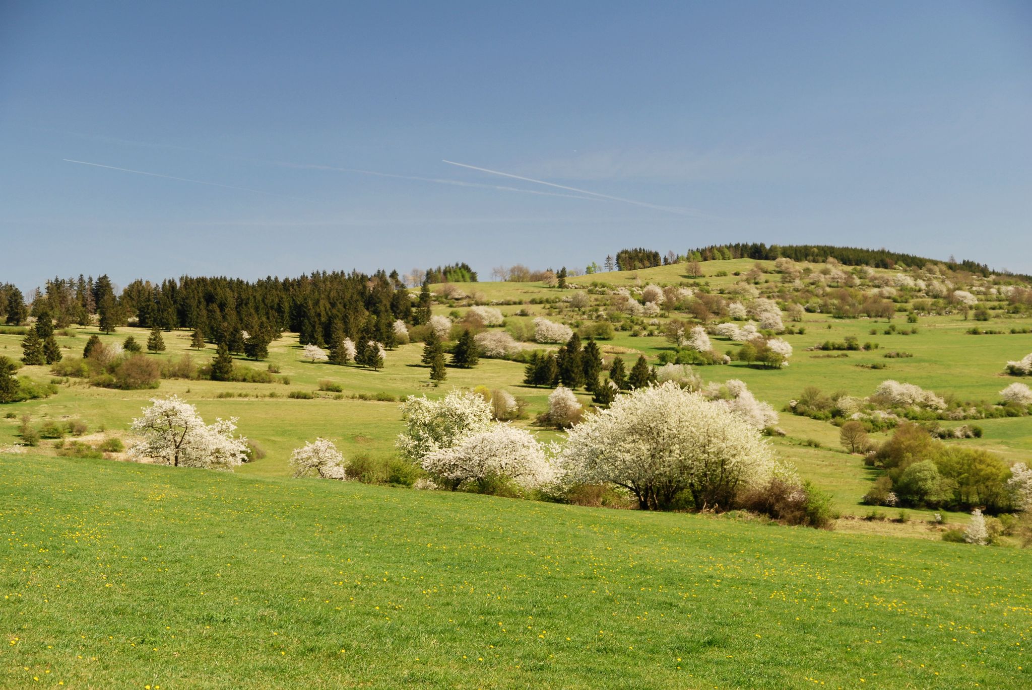
Dreienberg is rich in natural beauty. The mountain is known for its protected rare flora, including calcareous dry grasslands, silver thistles, gentians, and various orchid species. You can also find the source of the Stärkelsbach stream, the Stärkelsbach spring and information board, on the eastern edge of the Dreienberg. The extensive dry grasslands are home to many rare animal and plant species, and the forest boasts undisturbed growth.
Where can I find the best panoramic views around Dreienberg?
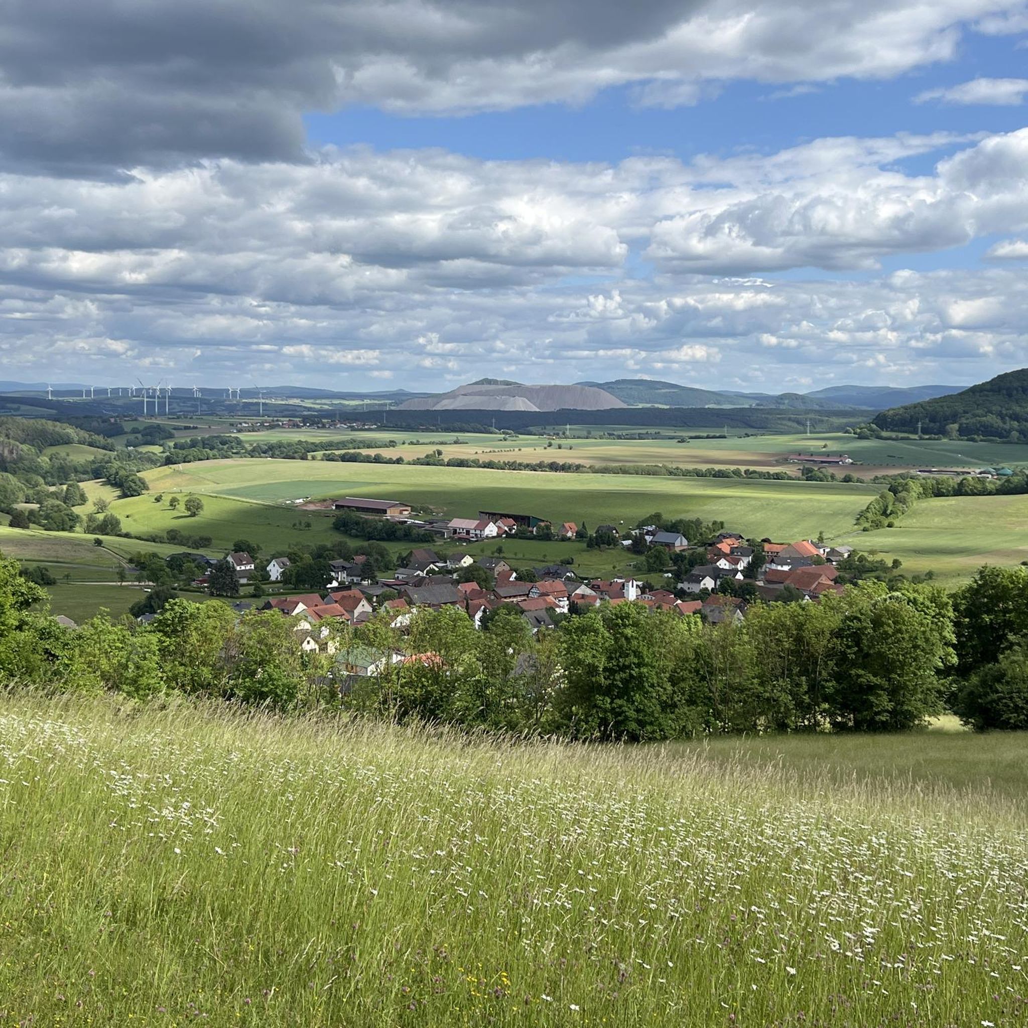
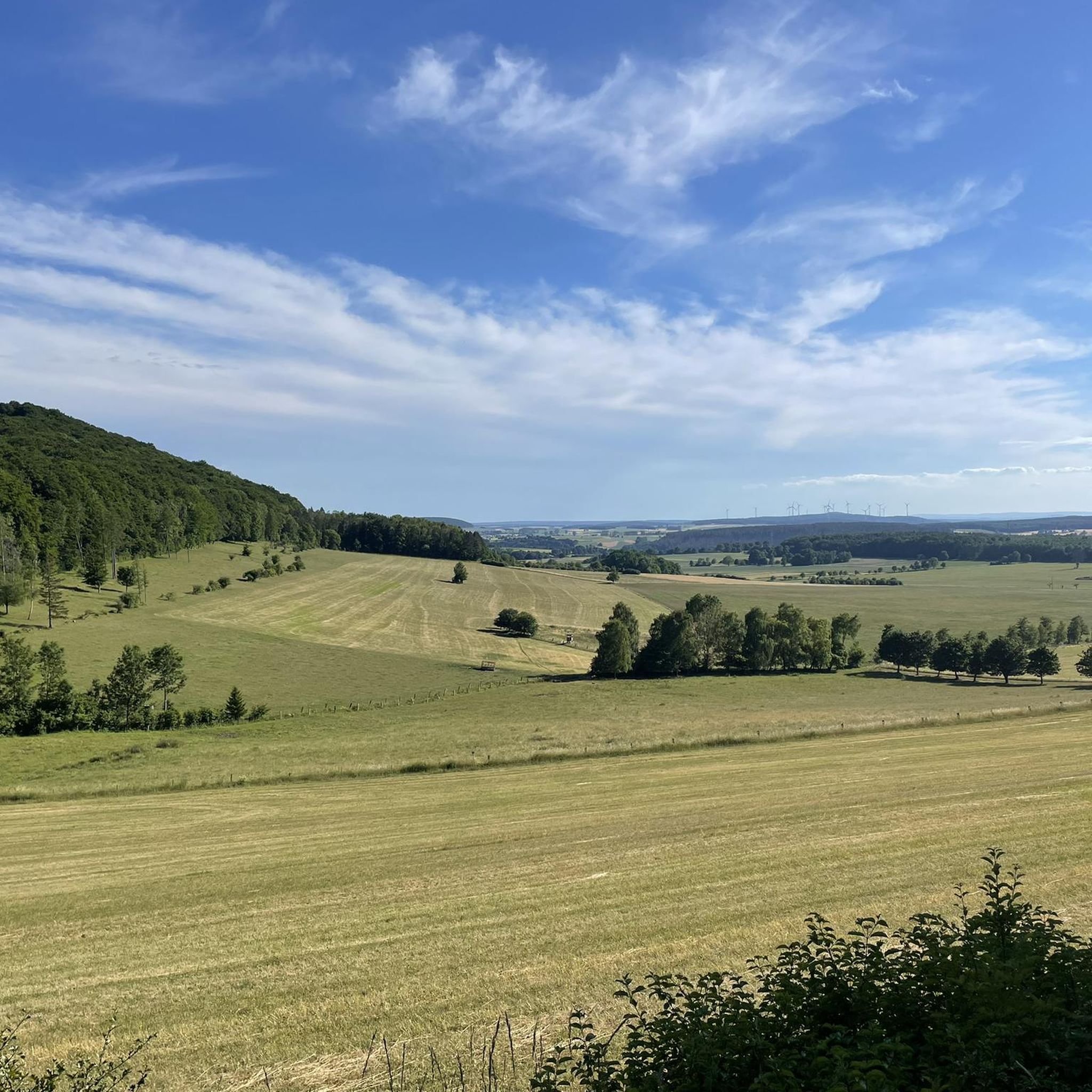
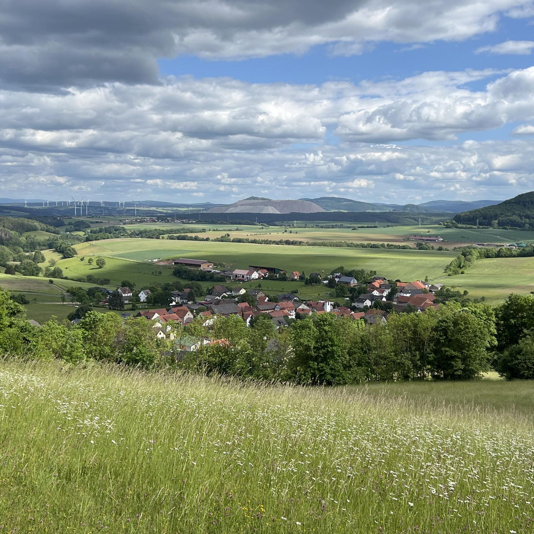
For impressive panoramic views, head to the Hillartshausen Shelter with Views over the Kuppenrhön. This spot is considered the most beautiful place to take a break on the Dreienberg, offering fantastic vistas from comfortable wooden loungers. Various points along the Extratour "Dreienberg" Hiking Trail also provide views of the Kuppenrhön, Seulingswald, and Werra mountain range.
Are there family-friendly attractions or activities near Dreienberg?
Absolutely! Many attractions are suitable for families. The Dreienburg Ruins are a nice round for children with lots of variety and resting places. The Lautenhausen Shelter and Forest Fountain offers a shady rest area with fresh water. Additionally, the Solztal Children's Trail, a 3 km circular route in the lower Solztal valley, features numerous play stations and information boards for a playful learning experience.
What cycling routes are available around Dreienberg?
The area around Dreienberg offers various cycling opportunities. You can explore routes like the "Solztal Cycle Path – Beer Garden Zur Weißen Dame loop from Friedewald" or the "Friedewald Moated Castle – Friedewald Cycle Path Church loop from Friedewald." For more options, check out the Cycling around Dreienberg guide, which includes routes of varying difficulty.
What do visitors enjoy most about the attractions around Dreienberg?
Visitors particularly appreciate the scenic views and tranquil resting spots. The Hillartshausen Shelter with Views over the Kuppenrhön is highly praised for its fantastic views and comfortable wooden loungers. The Lautenhausen Shelter and Forest Fountain is valued as a pleasant, shady rest area with fresh water, especially during warmer weather.
Are there any unique or lesser-known spots to visit?
Beyond the main highlights, you might find the Stone cairns on Dreienberg interesting. These archaic forms of signposts, built from surrounding sedimentary rock, offer a unique sight and a chance to contribute by adding your own stone. They are found in various spots along the trails.
What is the best time of year to visit Dreienberg?
The Dreienberg region is beautiful throughout the year, but spring and summer are ideal for experiencing the protected rare flora, including various orchid species, in full bloom. The warmer months are also perfect for hiking and enjoying the outdoor shelters like Lautenhausen Shelter and Forest Fountain, which provides a cool, shady spot.
Where can I find information about the local history and culture?
For a deeper dive into the region's past, visit the Local History Museum with Moated Castle in Friedewald. Located next to Göbel's Schlosshotel, it's recognized as the largest association-run museum in Hesse and showcases Friedewald's history, rural life, and the development of the moated castle and hunting lodge.
Are there facilities for mountain biking or gravel biking?
Yes, the region caters to cyclists. The Bike Park Friedewald, opened in summer 2021, is the largest bike park in East Hesse, offering various trails for different skill levels. For gravel biking, you can find routes like the "Bodesruh Memorial – View of Monte Kali loop from Friedewald" in the Gravel biking around Dreienberg guide.
Can I find places to rest and refresh during my visit?
Several spots offer opportunities to rest and refresh. The Lautenhausen Shelter and Forest Fountain provides a shady area with fresh water. The Hillartshausen Shelter with Views over the Kuppenrhön is another excellent spot with comfortable loungers and informative boards about local flora and fauna.
Most popular routes around Dreienberg
Most popular attractions around Dreienberg

Get inspired with the komoot mobile app


Explore more
Still not found the Highlight you’re looking for? See guides of the top attractions in other regions:
