The best walks and hikes around Obersulm
4.6
(1480)
7,547
hikers
164
hikes
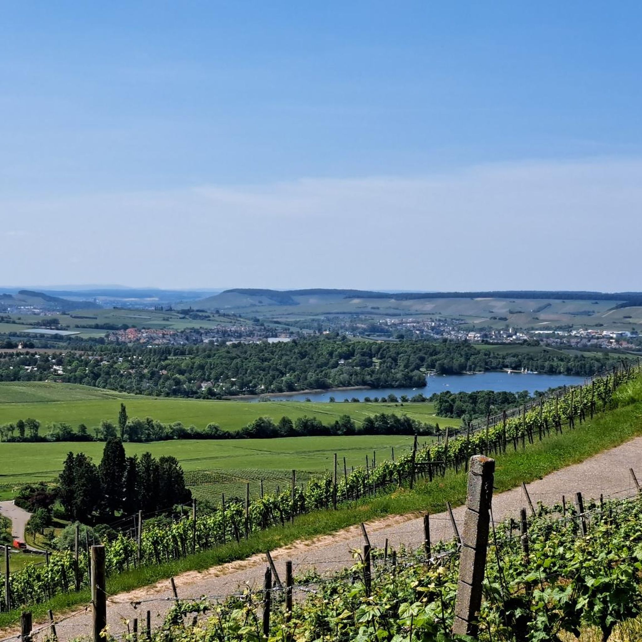
Hiking around Obersulm offers diverse landscapes at the foot of the Löwenstein mountains, within the Weinsberger Valley, and bordering the Swabian-Franconian Forest Nature Park. The region is characterized by extensive vineyards, the serene Breitenauer See, and varied terrain including forests and meadows. This geographical setting provides a range of hiking experiences for different ability levels.
Best hiking trails around Obersulm
- The most popular hiking route is Lake Breitenauer – Breitenauer Lake loop from Gemeindeverwaltung Obersulm, an easy 2.9 miles…
Last updated: October 11, 2026
4.6
(461)
2,211
hikers
Easy hike. Great for any fitness level. Easily-accessible paths. Suitable for all skill levels.
4.6
(89)
250
hikers
11.1km
03:16
320m
320m
Moderate hike. Good fitness required. Easily-accessible paths. Suitable for all skill levels.

4.7
(79)
197
hikers
Moderate hike. Good fitness required. Easily-accessible paths. Suitable for all skill levels.
4.7
(49)
176
hikers
Moderate hike. Good fitness required. Easily-accessible paths. Suitable for all skill levels.
4.8
(45)
172
hikers
Easy hike. Great for any fitness level. Easily-accessible paths. Suitable for all skill levels.
Get access to more routes and recommendations from other explorers.
Already have an account?
Our route recommendations are based on thousands of hikes, rides, and runs completed by other people on komoot.
Start today with a free account
Your next adventure awaits.
Popular around Obersulm
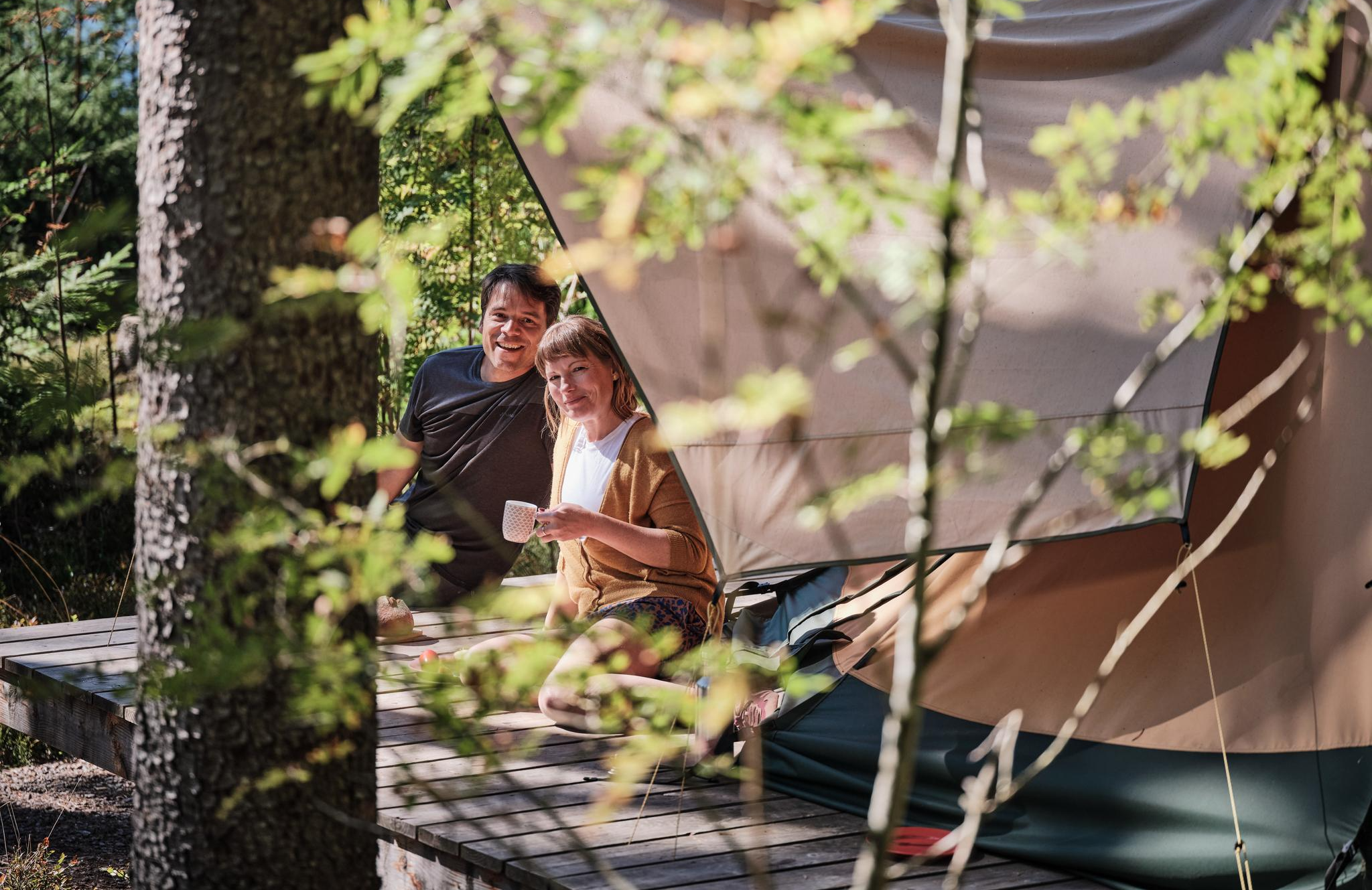
Hiking breaks in the South – two-day routes in Baden-Württemberg
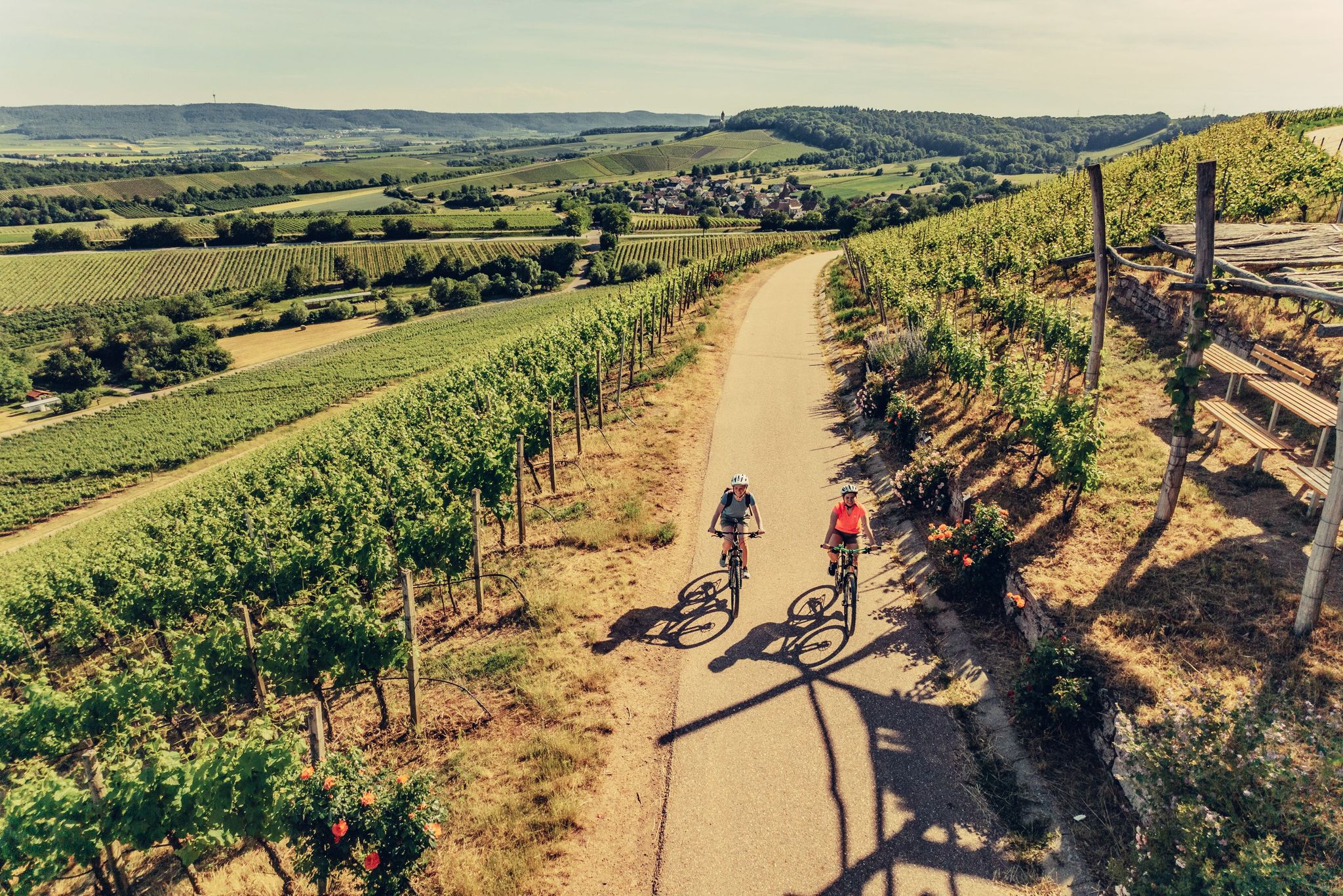
E-bike day Tours along the Tauber, Kocher, Jagst and Neckar rivers
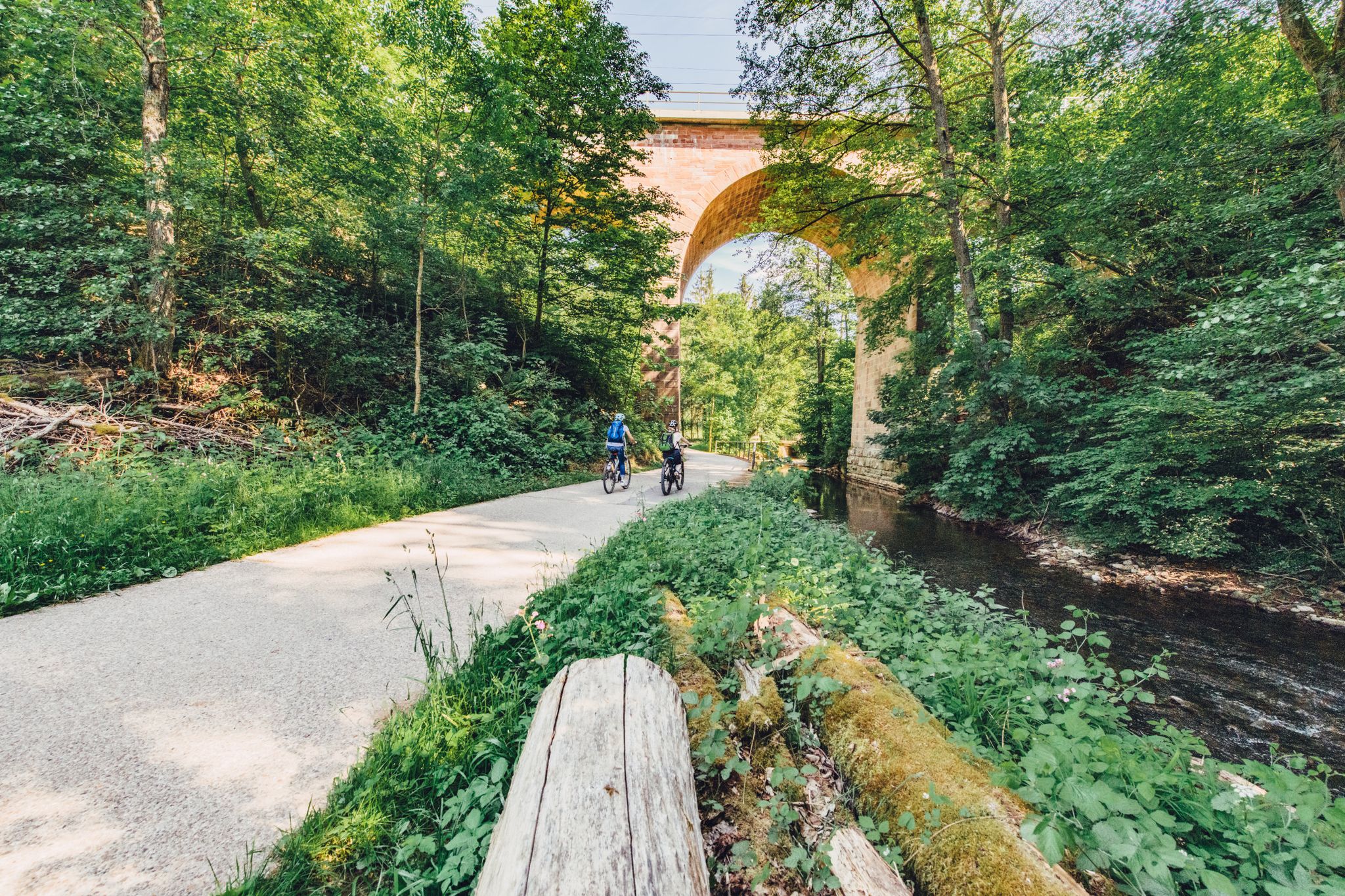
Weekend rides along the Kocher, Jagst and Neckar rivers in Germany
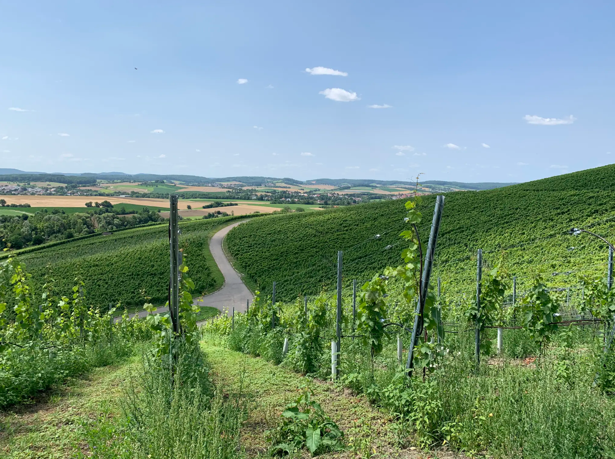
Cycle through vineyards on Germany’s Württemberg Wine Cycle Route
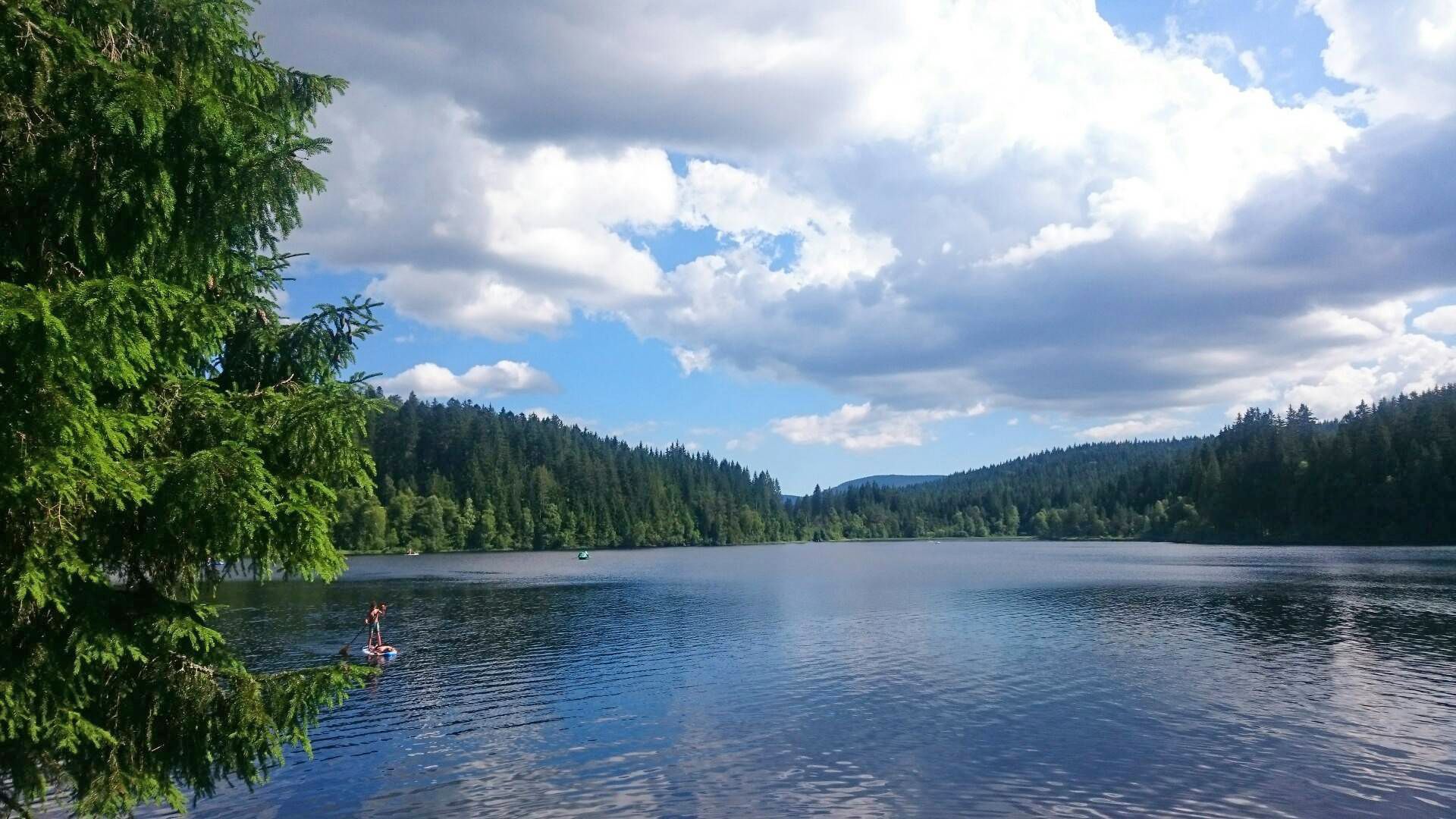
The best swimming lakes in Baden-Württemberg
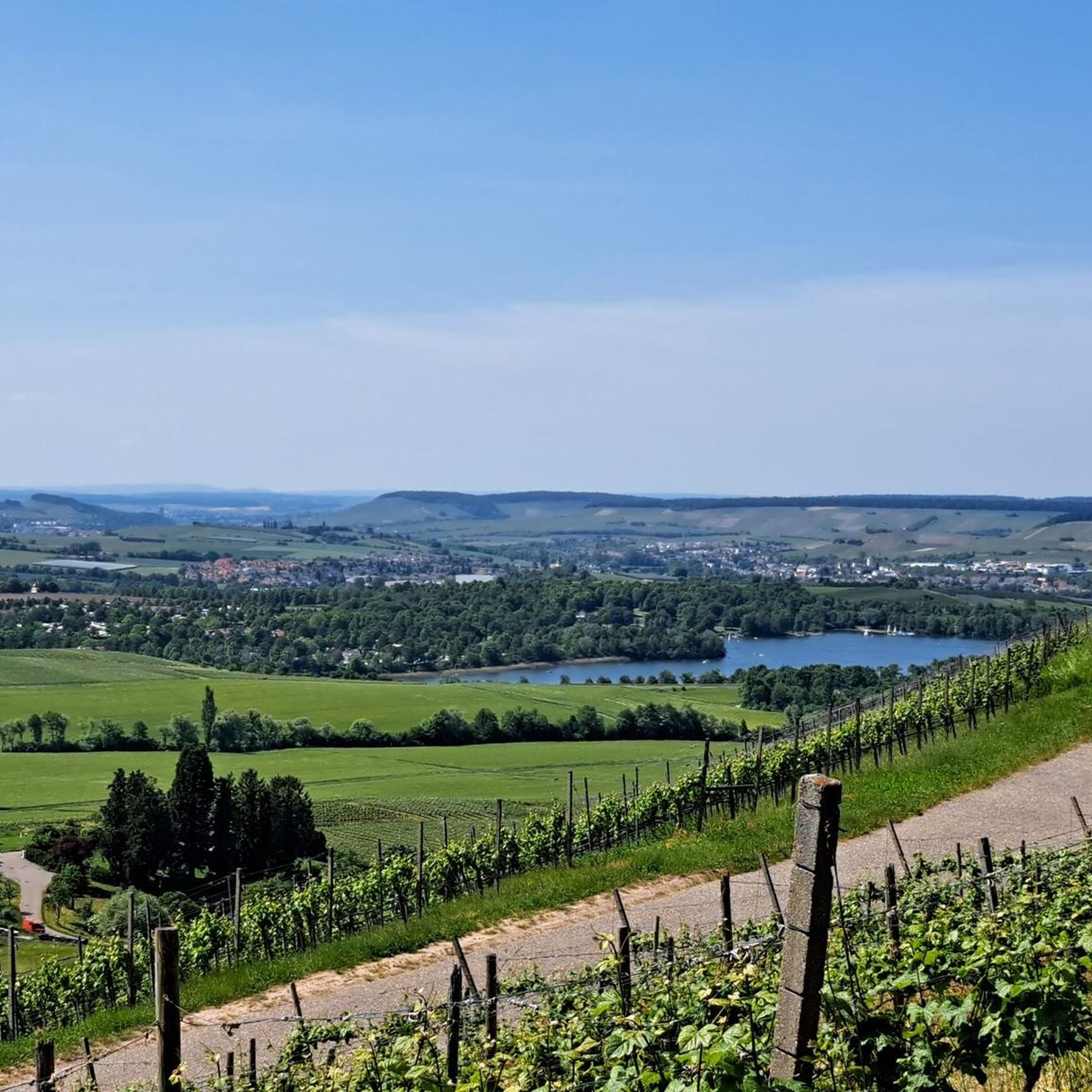
Cycling around Obersulm
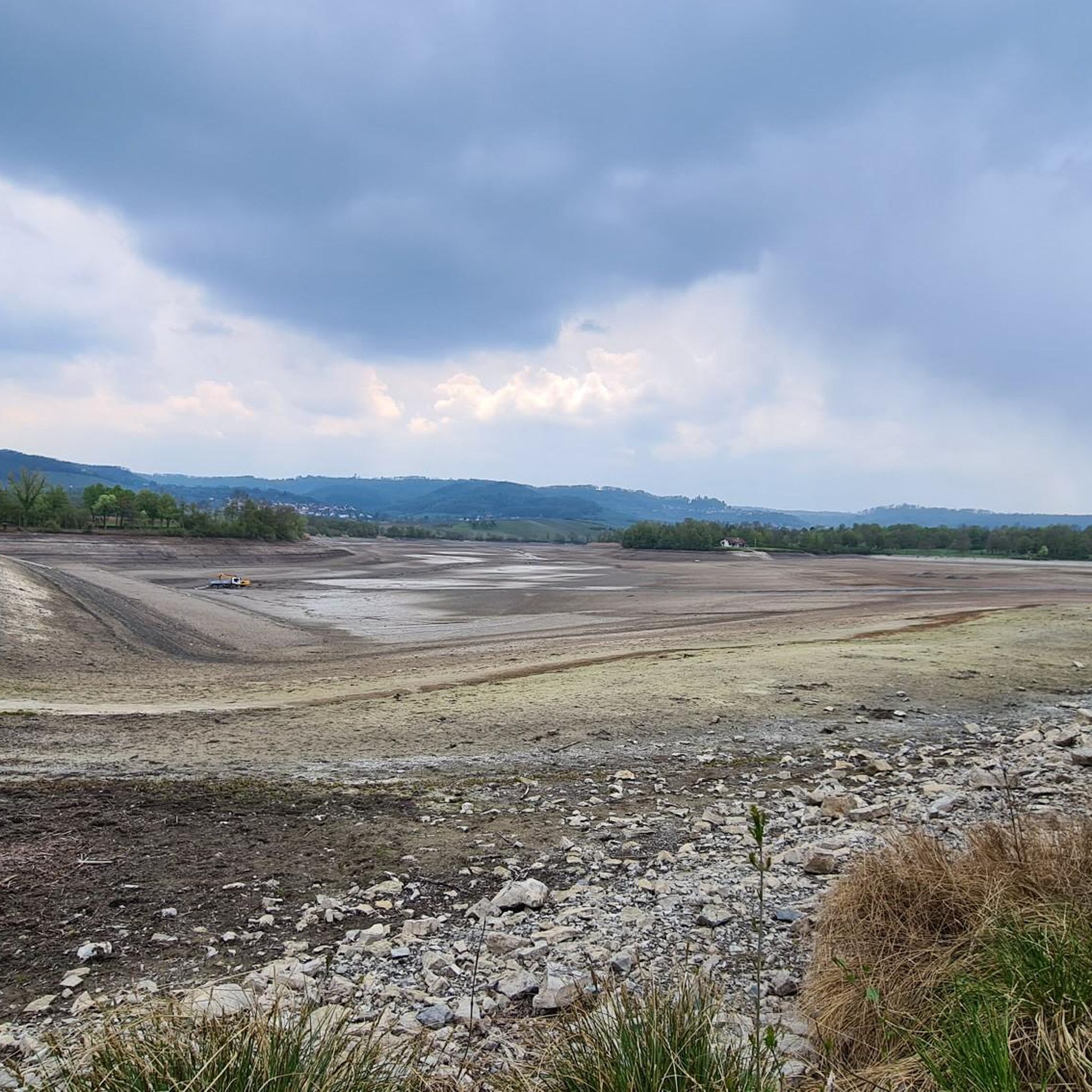
Road Cycling Routes around Obersulm
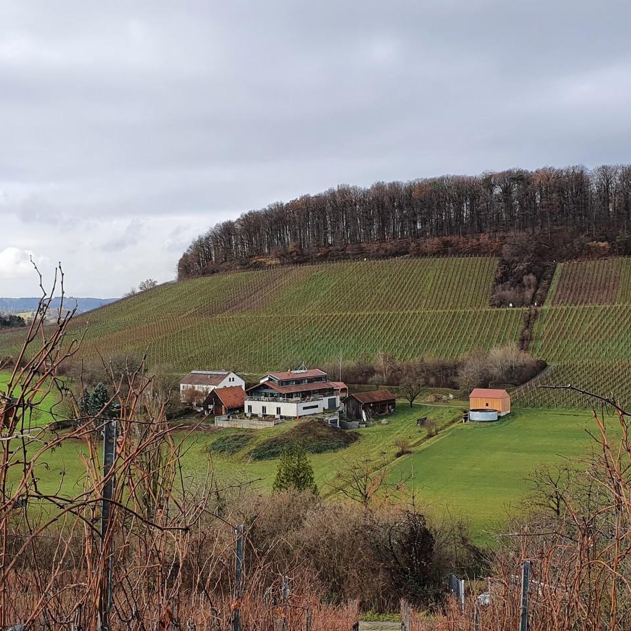
Running Trails around Obersulm
MTB Trails around Obersulm

Gravel biking around Obersulm
Other adventures around Obersulm


Tips from the Community

Great view over the autumnal vineyards and onto the Breitenauer See.
0
0

It is beautifully decorated here for every season. This makes the place even more attractive.
1
0

From the surrounding vineyards and farm tracks, you always have a great view of the lake.
4
0
The lake is located in the middle of the forest, beautifully secluded and quiet.
3
0
Beautiful sandy swimming beach.
3
0

The language of the following quote may seem a little dated to us, but surely many hikers will be able to relate to the words of Josef Hofmiller (Dr. phil., 1872-1933): „... that is what hiking is: When do we ever feel so filled with life to the brim, to overflowing, as on a hike? We breathe more freely, our blood pulses more joyfully, the world seems more colorful and richer to us, happiness sings ahead of us from tree to tree like a finch...“
0
0
Frequently Asked Questions
How many hiking trails are available in Obersulm?
Obersulm offers a wide variety of hiking experiences, with over 130 routes available. These trails traverse diverse landscapes, from vineyards to forests and along the Breitenauer See.
Are there easy hiking trails suitable for beginners or families?
Yes, Obersulm has plenty of easy trails, with 80 routes classified as easy. A great option for a relaxed walk is the Kirschenallee Picnic Shelter – View of Breitenauer See loop from Schloss Eschenau, which offers pleasant views and is suitable for all ages.
Are there any circular hiking routes in Obersulm?
Many of the hiking trails in Obersulm are designed as circular routes, allowing you to start and end at the same point. For example, the View of Breitenauer See – Lake Breitenauer loop from Verwaltungsgemeinschaft Obersulm provides a scenic round trip with elevated views of the lake.
What kind of natural landscapes can I expect to see while hiking in Obersulm?
Obersulm's hiking trails offer a rich tapestry of landscapes. You'll encounter extensive vineyards, the serene Breitenauer See, rolling hills of the Löwenstein mountains, and diverse forests and meadows. The Autal Nature Reserve is particularly beautiful in spring with its wildflower meadows.
Are there any notable natural attractions or points of interest along the trails?
Absolutely. Hikers can explore unique natural features like the rugged Hüttlenwald Gorge, known for its steep slopes and small waterfall. Other interesting spots include the Hohler Stein Erosion Natural Monument and various other gorges and caves in the area.
What do other hikers enjoy most about hiking in Obersulm?
The komoot community highly rates the hiking experience in Obersulm, with an average score of 4.7 stars from over 1100 reviews. Hikers often praise the diverse landscapes, particularly the picturesque vineyards and the tranquil Breitenauer See, as well as the well-maintained trails.
Can I find trails that offer views of the Breitenauer See?
Yes, many trails incorporate the Breitenauer See, offering refreshing views and opportunities to combine hiking with relaxation by the water. A popular choice is the Breitenauer Lake Beach – Lake Breitenauer loop from Gemeindeverwaltung Obersulm, which provides extensive lakeside scenery.
Are there any historical sites or castles visible from the hiking routes?
Yes, hiking routes in Obersulm often provide magnificent views of historical landmarks. You can frequently spot Löwenstein Castle, adding a historical and architectural element to the natural scenery. The historic town centers like Affaltrach and Weiler zum Stein Castle also offer cultural insights.
Are there any challenging routes for experienced hikers?
While Obersulm is known for its accessible trails, there are also more challenging options. The proximity to the Löwenstein mountains provides elevated perspectives and routes with more significant elevation changes, offering magnificent panoramic views for experienced hikers.
What is the best time of year to go hiking in Obersulm?
Obersulm offers beautiful hiking experiences throughout the year. Spring is particularly lovely with the wildflower meadows in the Autal Nature Reserve. The vineyards are stunning in late summer and autumn, while the forests provide shade in warmer months. Even winter hikes can be rewarding, offering a different perspective of the serene landscapes.
Are there opportunities for wine tasting or visiting wineries after a hike?
Given Obersulm's prominent vineyards, opportunities for wine tasting tours or visiting local wineries are abundant. Many trails wind through these vineyards, allowing hikers to easily combine their outdoor activity with sampling regional wines and Swabian specialties.
Most popular routes around Obersulm
Most popular attractions around Obersulm

Get inspired with the komoot mobile app


Explore more
Browse the best Hikes in other regions.
