The best road cycling routes around Obersöchering
4.5
(1262)
17,301
riders
301
rides
Road cycling around Obersöchering offers diverse terrain characterized by rolling hills, expansive green fields, and tranquil forests. The region features well-maintained asphalt roads and quiet country lanes, providing suitable conditions for road cyclists. Distant views of the Bavarian Alps add to the scenic backdrop. This area caters to various fitness levels, with routes ranging from gentle inclines to more challenging ascents.
Best road cycling routes around Obersöchering
- The most popular road cycling route is Scenic Road in Upper Bavaria –…
Last updated: October 11, 2026
5.0
(7)
105
riders
82.9km
03:38
610m
610m
Moderate road ride. Good fitness required. Mostly well-paved surfaces and easy to ride.
4.6
(5)
109
riders
53.8km
02:26
500m
500m
Moderate road ride. Good fitness required. Some segments of this route may be unpaved and difficult to ride.

5.0
(3)
24
riders
38.4km
01:41
250m
250m
Easy road ride. Great for any fitness level. Mostly well-paved surfaces and easy to ride.
5.0
(2)
17
riders
12.4km
00:35
120m
120m
Easy road ride. Great for any fitness level. Mostly well-paved surfaces and easy to ride.
13
riders
16.2km
00:49
180m
180m
Easy road ride. Great for any fitness level. Mostly well-paved surfaces and easy to ride.
Get access to more routes and recommendations from other explorers.
Already have an account?
Our route recommendations are based on thousands of hikes, rides, and runs completed by other people on komoot.
Start today with a free account
Your next adventure awaits.
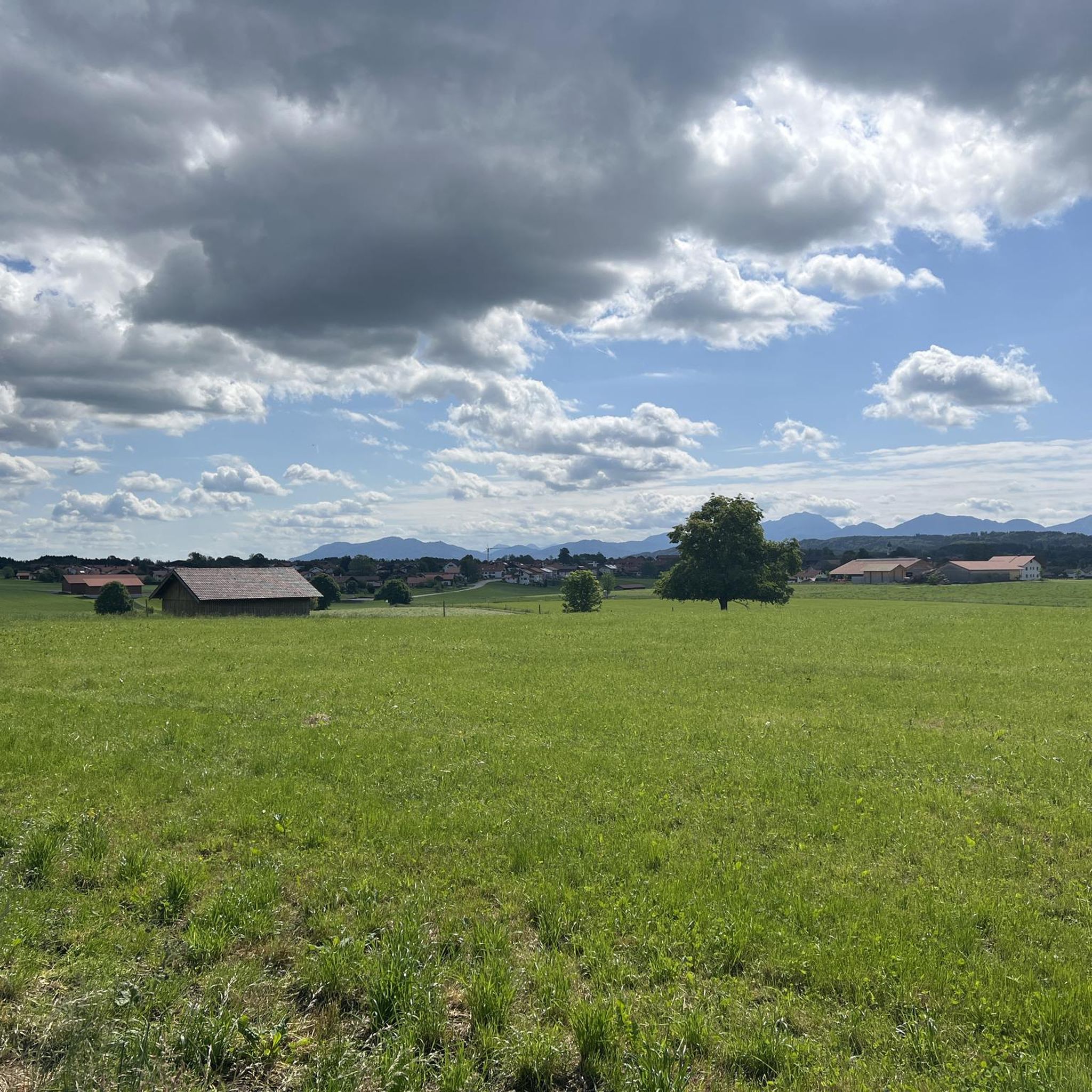
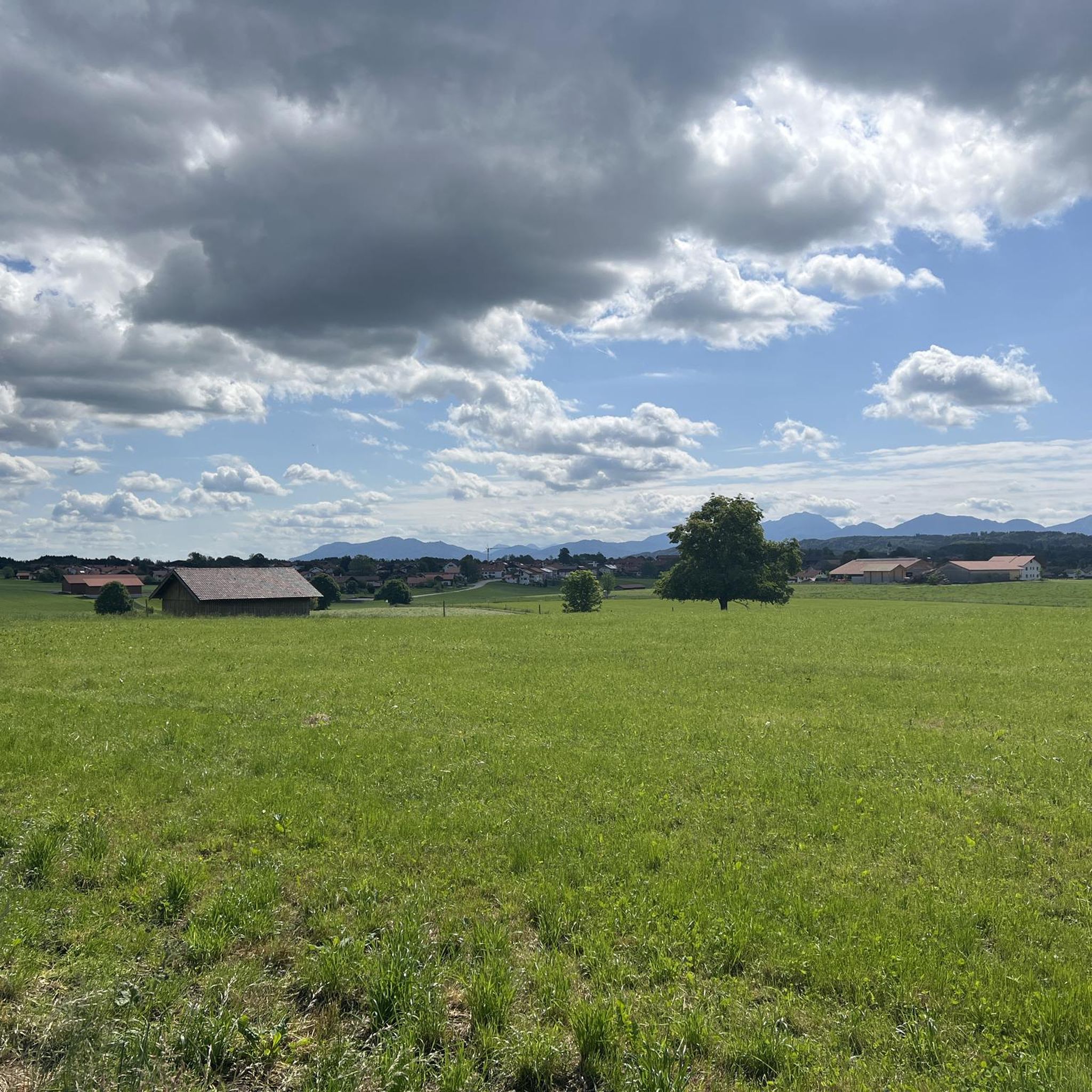

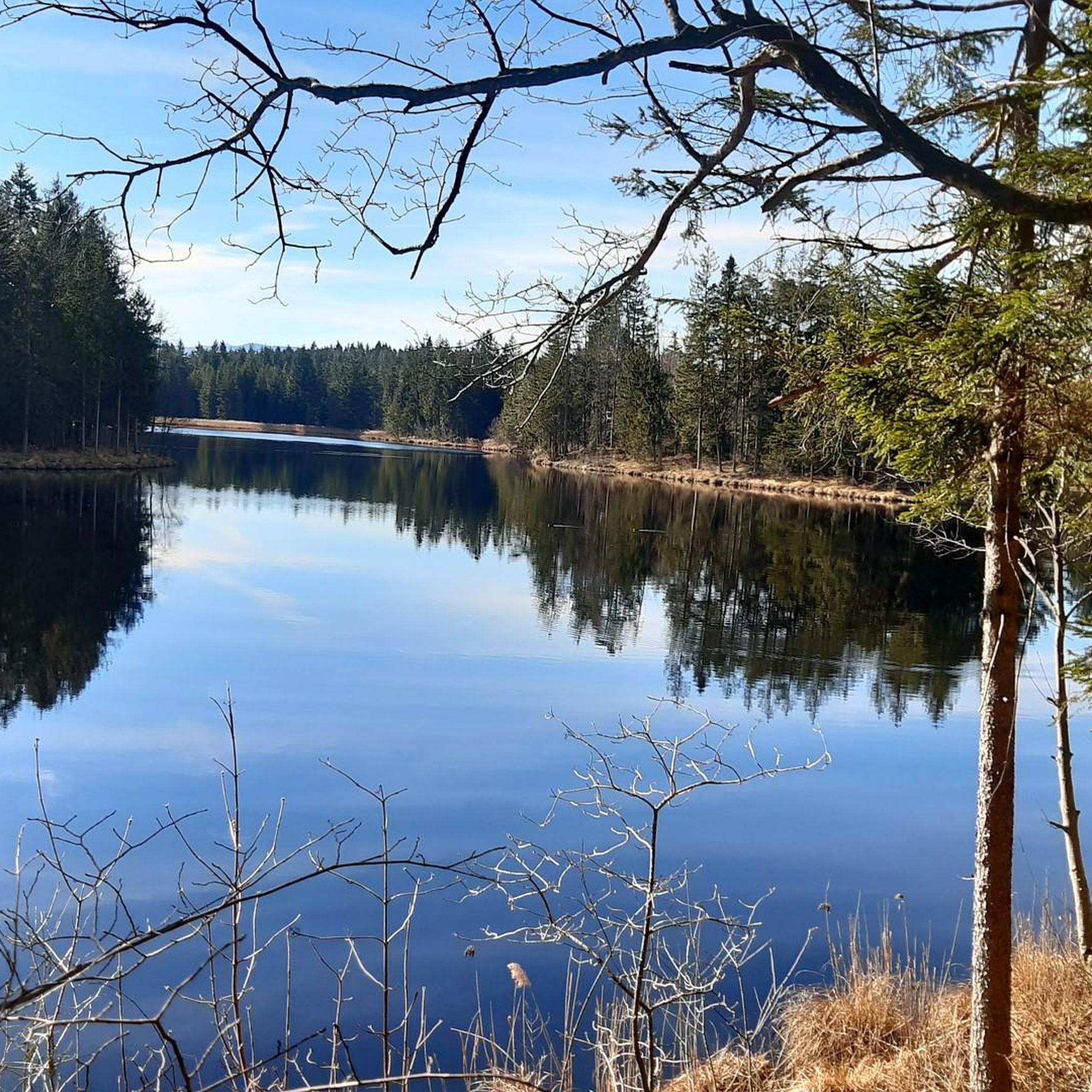
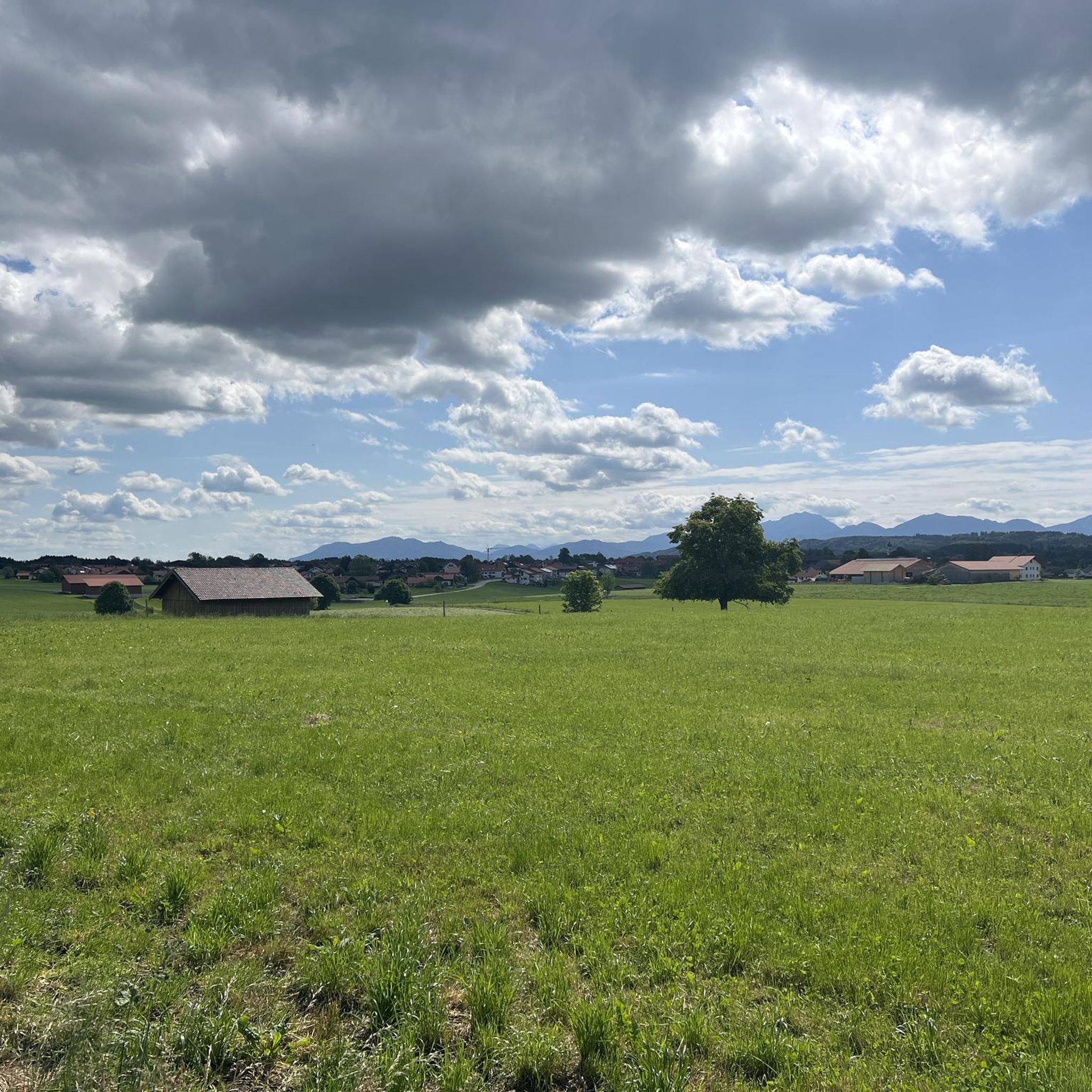
Tips from the Community


Beautiful view over the lake towards the mountains
1
0
Great view over the Riegsee towards the Alps.
1
0

Beautiful cycle path with views of the Alpine panorama
0
0

VERY NICE VIEW, a dreamlike area
1
0

A beautiful route 👍
1
0
A very nice route 👍
1
0

Good Mood Road. Great views and nice paved road.
0
0
Frequently Asked Questions
How many road cycling routes are available around Obersöchering?
There are over 300 road cycling routes around Obersöchering, offering a wide variety of options for different skill levels and preferences. The komoot community has explored more than 314 routes in the area.
What kind of terrain can I expect when road cycling near Obersöchering?
The region around Obersöchering features diverse terrain, characterized by rolling hills, expansive green fields, and tranquil forests. You'll find well-maintained asphalt roads and quiet country lanes, with a mix of gentle inclines and more challenging ascents, catering to various fitness levels.
Are there routes suitable for beginners or less experienced road cyclists?
Yes, Obersöchering offers several easy road cycling routes. For example, the Paved Cycle Path Zell–Kochel loop from Habach is an easy 38.1 km (23.7 miles) route, and the Höhlenmühle Aidling – Rest Area on the Lake Shore loop from Riegsee is a shorter, easy 12.6 km (7.8 miles) option.
What are some challenging road cycling routes for experienced riders?
Experienced riders seeking a greater workout will find routes with more significant elevation gain. The Scenic Road in Upper Bavaria – Murnauer Moos loop from Eglfing is a moderate 82.7 km (51.4 miles) route with over 600 meters of elevation gain, providing a good challenge.
Can I find circular road cycling routes in the Obersöchering area?
Yes, many road cycling routes in the Obersöchering area are designed as loops, allowing you to start and finish at the same point. Examples include the Scenic Road in Upper Bavaria – Murnauer Moos loop from Huglfing and the Uffing Town Hall – Huglfing–Uffing Scenic Route loop from Huglfing.
Are there any scenic viewpoints or landmarks to see along the road cycling routes?
Absolutely. Many routes offer breathtaking views of the Bavarian Alps in the distance. You might also pass by natural features like Lake Staffelsee or the Great Ostersee. The region's scenic countryside with green fields and forests provides constant visual appeal.
Where can I find places to eat or rest during my road cycling tour?
The Obersöchering area has several spots where you can refuel. Consider stopping at the Kreut-Alm Mountain Inn or the Eichbichl Stüberl for a meal or a refreshing drink. There's also the Otthof, though it doesn't offer regular service.
Is Obersöchering a good destination for family-friendly road cycling?
While specific 'family-friendly' road cycling routes are not explicitly categorized, the presence of easy routes with gentle inclines and well-maintained paved paths, such as the Paved Cycle Path Zell–Kochel loop from Habach, suggests options suitable for families with older children or those looking for a relaxed ride.
What is the best time of year for road cycling in Obersöchering?
The changing seasons bring different colors to the landscape, but generally, spring through autumn offers the most pleasant conditions for road cycling. Lush summer greens and vibrant autumn hues make for particularly scenic rides. Winter cycling might be possible on cleared roads, but conditions can be less predictable.
Are there parking options available for road cyclists in Obersöchering?
While specific parking areas for cyclists are not detailed, Obersöchering and its surrounding villages typically offer public parking facilities. It's advisable to check local signage upon arrival for designated parking spots suitable for starting your road cycling tour.
What do other cyclists say about road cycling in Obersöchering?
The road cycling routes around Obersöchering are highly rated by the komoot community, with an average score of 4.6 stars from over 990 reviews. Cyclists often praise the varied landscapes, quiet country roads, and the stunning distant views of the Bavarian Alps.
Are there any routes that offer views of the Bavarian Alps?
Yes, many road cycling routes in the Obersöchering area provide spectacular distant views of the Bavarian Alps. The majestic mountain backdrop adds a dramatic element to your rides, especially on routes traversing the more open countryside.
Most popular routes around Obersöchering
Most popular attractions around Obersöchering

Get inspired with the komoot mobile app


Explore more
Browse the best Road cycling routes in other regions.
