The best road cycling routes around Obersiebenbrunn
4.4
(65)
1,909
riders
114
rides
Road cycling routes around Obersiebenbrunn are primarily characterized by the flat to gently rolling terrain of the Marchfeld plain in Lower Austria. The region features open agricultural landscapes, small villages, and proximity to the Danube River. Elevation changes are minimal, making it suitable for sustained road cycling.
Best road cycling routes around Obersiebenbrunn
- The most popular road cycling route is Schloss Hof Gardens – Schloss Hof loop from Untersiebenbrunn, a 27.7 miles (44.6 km) trail that takes 1 hour…
Last updated: July 15, 2026
2.0
(2)
37
riders
45.8km
01:50
90m
90m
Moderate road ride. Great for any fitness level. Some segments of this route may be unpaved and difficult to ride.
5.0
(1)
20
riders
Moderate road ride. Great for any fitness level. Some segments of this route may be unpaved and difficult to ride.

Sign up for free
3.0
(1)
10
riders
29.7km
01:13
40m
40m
Moderate road ride. Great for any fitness level. Some segments of this route may be unpaved and difficult to ride.
10
riders
19.5km
00:47
30m
30m
Easy road ride. Great for any fitness level. Mostly well-paved surfaces and easy to ride.
11
riders
77.1km
03:17
270m
270m
Moderate road ride. Good fitness required. Some segments of this route may be unpaved and difficult to ride.
Get access to more routes and recommendations from other explorers.
Sign up for free
Already have an account?
Our route recommendations are based on thousands of hikes, rides, and runs completed by other people on komoot.
Start today with a free account
Your next adventure awaits.
Login or Signup

Tips from the Community


The former fortified church, consecrated to Saint Martin of Tours, was probably built at the end of the 12th century in a former settlement area. In 1574 it is referred to as a pilgrimage church and in 1683 it is documented as a ruin. During the Battle of Wagram in 1809, it served as a command post for the Austrians under Archduke Charles. In 1817 it was converted into a windmill, for which a partially projecting round tower was added to the remains of the east tower. On the night of December 30th to 31st, 1862, the building burned down.[1]
0
0

The Donau-Auen National Park is one of the most fascinating protected areas in Central Europe. It extends over approximately 9,300 hectares between the metropolises of Vienna and Bratislava and preserves one of the continent's last large, undeveloped river floodplain landscapes.
0
0
The Andreas Maurer Bridge is a striking structure for all those traveling on the Danube Cycle Path (R1). It is not only an important traffic artery but also a strategic point for cyclists in eastern Austria. The bridge spans the Danube near Bad Deutsch-Altenburg and connects the south bank (Bruck an der Leitha district) with the north bank (near Stopfenreuth, Gänserndorf district).
0
0

Schloss Hof (formerly Schloßhof, originally Hoff an der March) is the largest of the six Marchfeld castles. It is located east of Vienna in the village of Schloßhof in the market town of Engelhartstetten.
1
0

lanes for cyclists on both sides
0
0

A new tenant is being sought as of June 2025, which is a pity.
1
0

Closed since April 5th due to foot-and-mouth disease. (Why the bridge has to be barricaded because of this is something someone else will have to answer...)
2
0
Frequently Asked Questions
What kind of terrain can I expect when road cycling in Obersiebenbrunn?
Road cycling around Obersiebenbrunn primarily features the flat to gently rolling terrain of the Marchfeld plain in Lower Austria. You'll encounter open agricultural landscapes, small villages, and paths near the Danube River, with minimal elevation changes, making it ideal for sustained cycling.
How many road cycling routes are available around Obersiebenbrunn?
There are over 110 road cycling routes available around Obersiebenbrunn, catering to various skill levels. This includes 17 easy routes, 93 moderate routes, and 6 more challenging options.
Are there easy road cycling routes suitable for beginners in Obersiebenbrunn?
Yes, Obersiebenbrunn offers several easy road cycling routes perfect for beginners. An excellent option is the Schloss Hof Gardens – Schloss Hof loop from Untersiebenbrunn, which is 27.7 miles (44.6 km) long and explores historic areas with minimal effort.
Are there any longer or more challenging road cycling routes for experienced riders?
For experienced riders seeking a longer challenge, consider the View from Braunsberg – Hainburg Danube Bridge loop from Untersiebenbrunn. This moderate route spans 47.9 miles (77 km) and includes more significant elevation changes, offering a more demanding ride.
What are some scenic points of interest I can see along the road cycling routes?
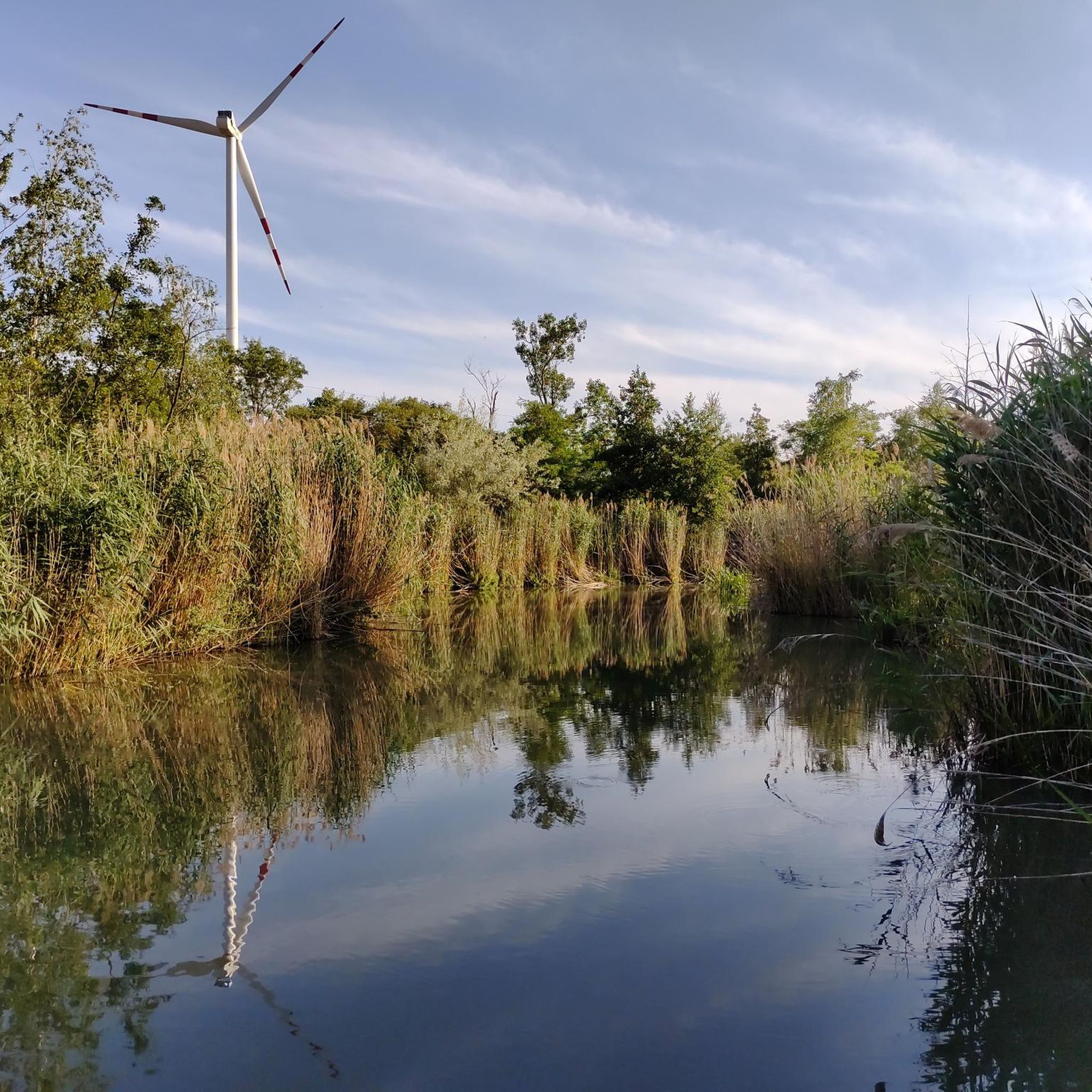
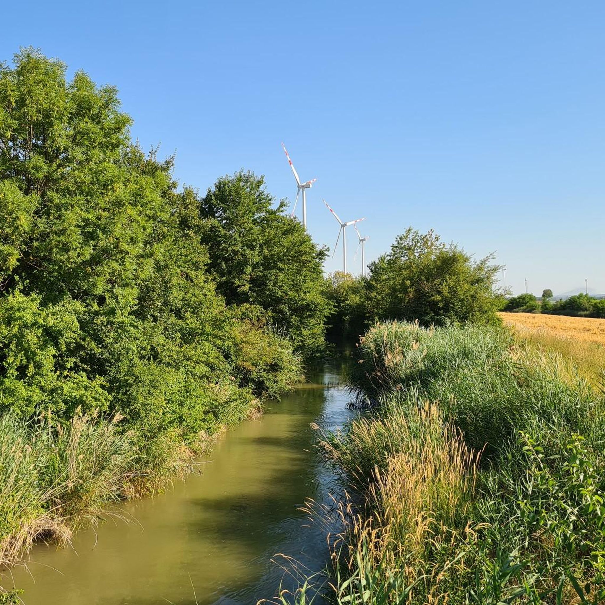
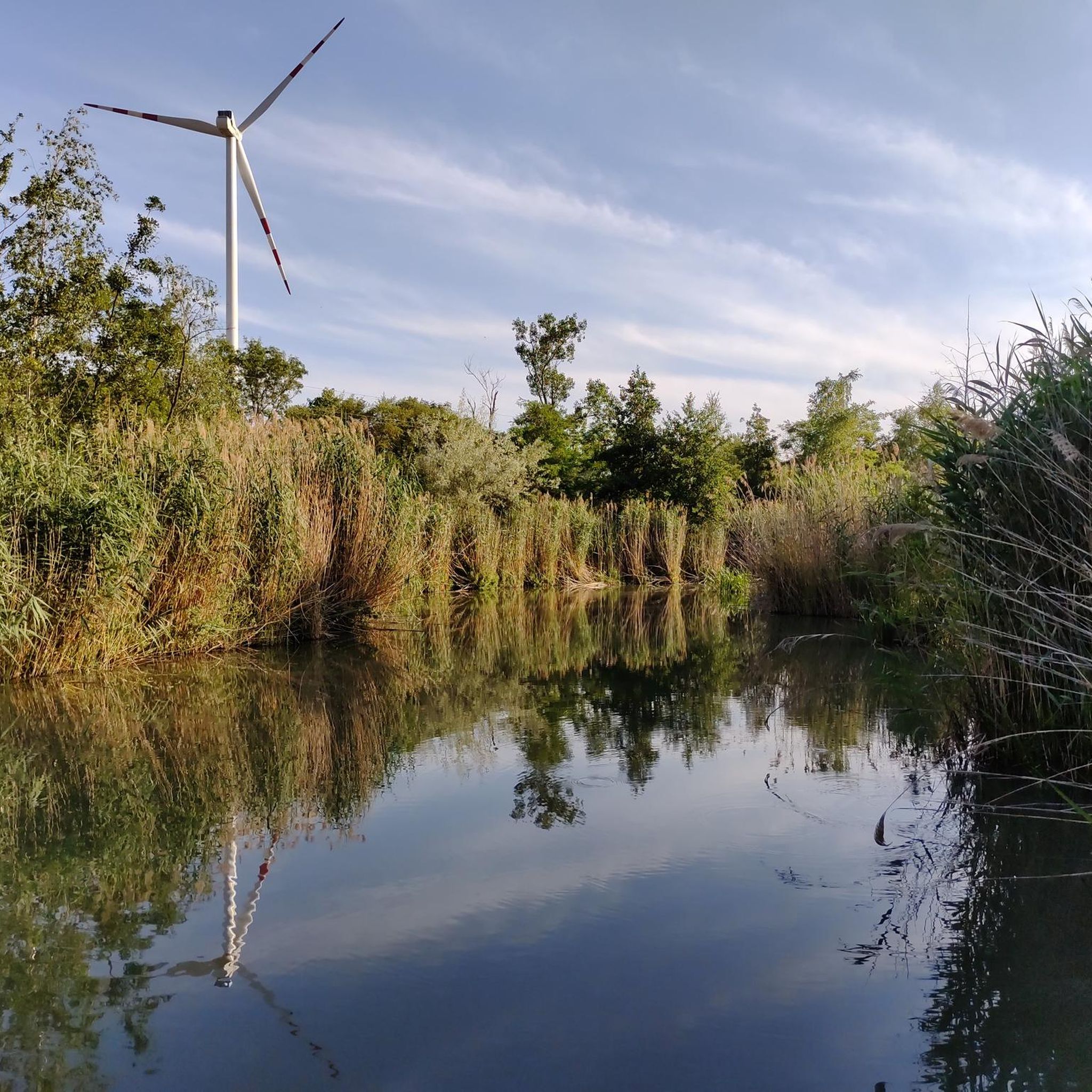
Many routes offer scenic views and pass by interesting landmarks. You can explore historic sites like Obersiebenbrunn Castle / St. Antonius Monastery or the Markgrafneusiedl Castle Ruins. Some routes also follow paths near the Obensiebenbrunner Canal or pass by tranquil spots like the Pond of Tranquility.
Are there road cycling routes that are circular or loop back to the starting point?
Yes, many road cycling routes in the region are designed as loops. For instance, the Orth Castle – Forest path to the Danube loop from Siebenbrunn-Leopoldsdorf is a popular circular route that offers views of Orth Castle and follows a forest path towards the Danube River.
What do other road cyclists enjoy most about cycling in Obersiebenbrunn?
The road cycling routes around Obersiebenbrunn are highly rated by the komoot community, with an average score of 4.4 stars from over 50 reviews. Cyclists often praise the open plains, historic castles, and riverside paths along the Danube, as well as the variety of options for different skill levels.
Can I find routes that pass by castles or historic buildings?
Absolutely. The region is rich in history. The Holy Mary Chapel Lassee loop from Siebenbrunn-Leopoldsdorf takes you through agricultural plains with historic sights. You can also find routes near Gänserndorf Town Hall (Former Castle) or Schönkirchen Castle.
Are there any routes that are particularly good for a quick ride?
For a quicker ride, the Ruins of Markgrafneusiedl loop from Gänserndorf Süd Eschenweg is an excellent choice. This easy route is about 12.1 miles (19.5 km) long and can typically be completed in under an hour.
What is the best time of year for road cycling in Obersiebenbrunn?
The Marchfeld plain is generally pleasant for road cycling from spring through autumn. The flat terrain means it's less affected by snow and ice than mountainous regions, but spring and early autumn offer the most comfortable temperatures and vibrant landscapes.
Are there any natural attractions or bodies of water along the routes?
Yes, several routes offer views of natural attractions. You might cycle past the Goldfish Pond at Dampfross Cycle Path or near the Gänserndorf Nature Park, providing a refreshing change of scenery from the open fields.
Most popular routes around Obersiebenbrunn
Most popular attractions around Obersiebenbrunn

Get inspired with the komoot mobile app


Explore more
Browse the best Road cycling routes in other regions.
