The best walks and hikes around Oberreidenbach
4.6
(3677)
12,923
hikers
453
hikes
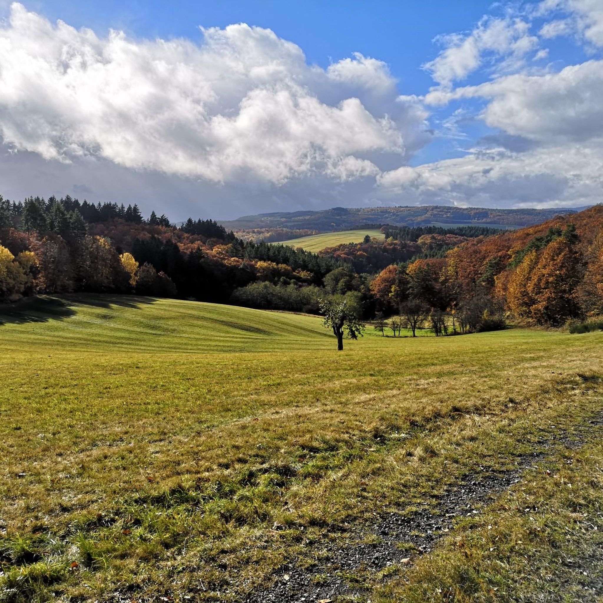
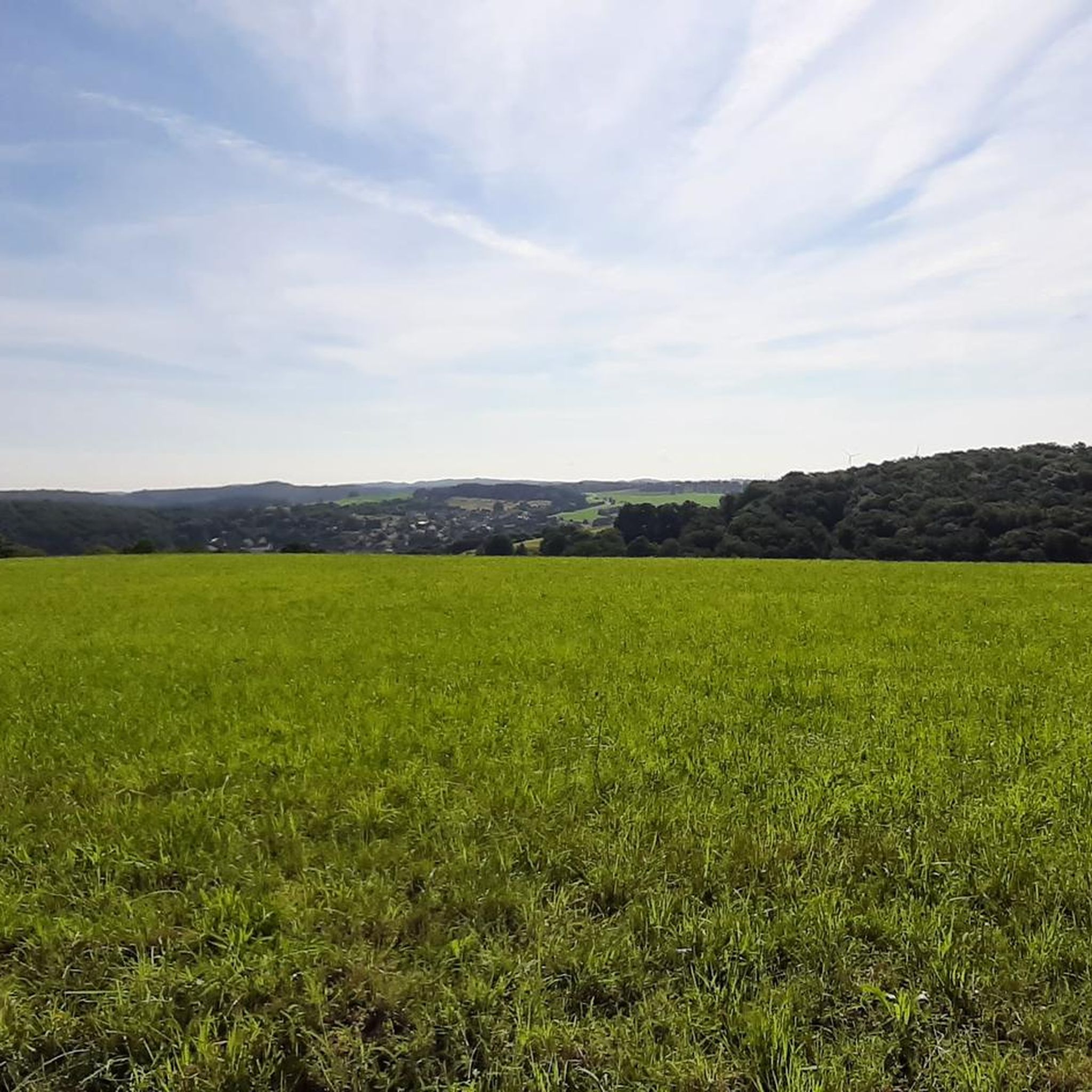
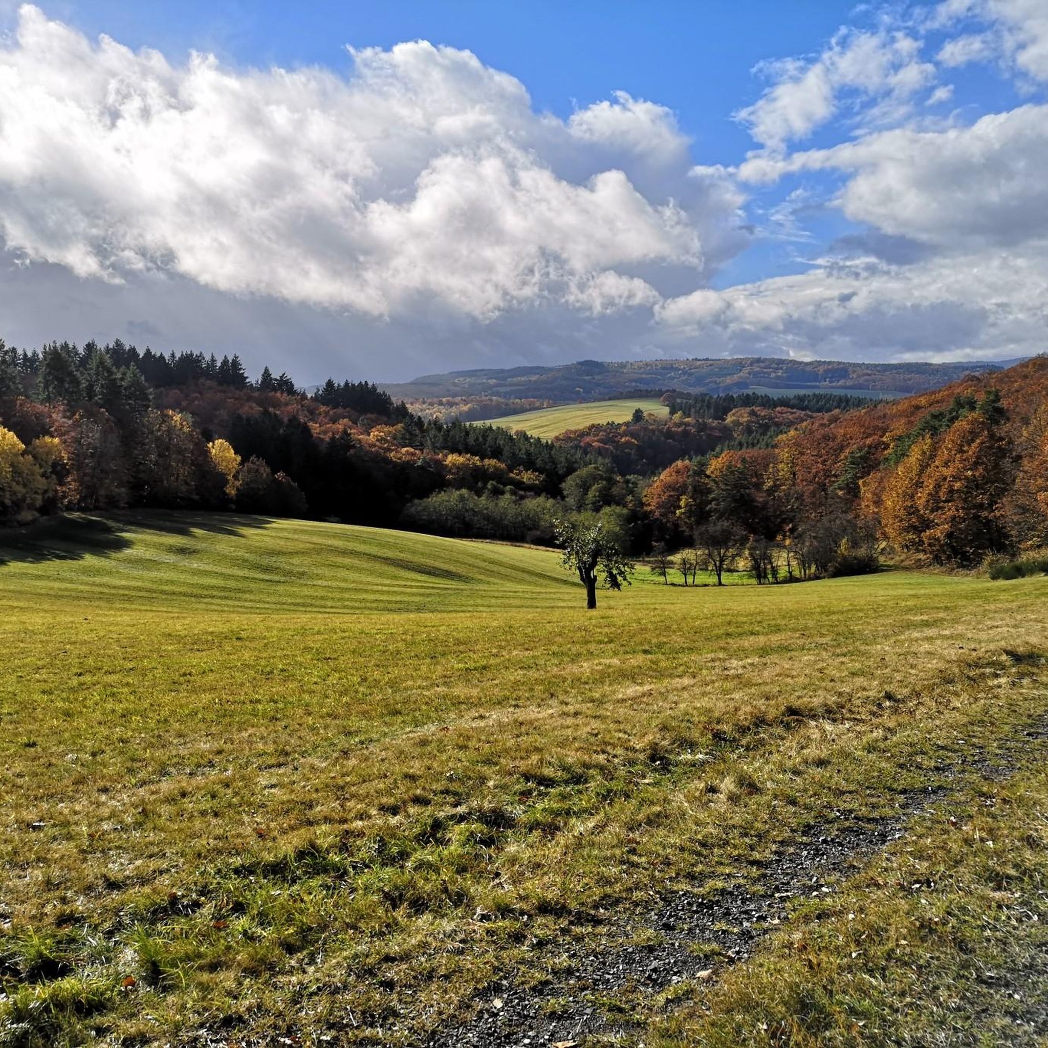
Hiking around Oberreidenbach offers diverse landscapes within the Saar-Hunsrück Nature Park, characterized by green hills and valleys. The region features notable rock formations such as the Teufelsschlucht and Dietersfels, alongside panoramic viewpoints like Junkerwaldblick and Kelter. Significant biotopes, including Weiherdell and Bornberg, contribute to the area's natural appeal, complemented by the Kammerwoog Reservoir.
Best hiking trails around Oberreidenbach
- The most popular hiking route is Eselbrücke Kohlenhütte – Junkerwaldblick Viewpoint loop from Sienhachenbach, a 6.9 miles (11.1 km) moderate trail…
Last updated: August 23, 2026
4.8
(19)
54
hikers
Moderate hike. Good fitness required. Easily-accessible paths. Suitable for all skill levels.
4.3
(3)
20
hikers
5.98km
01:44
150m
150m
Easy hike. Great for any fitness level. Easily-accessible paths. Suitable for all skill levels.

Sign up for free
4.5
(43)
135
hikers
Hard hike. Very good fitness required. Easily-accessible paths. Suitable for all skill levels.
4.5
(12)
18
hikers
7.49km
02:02
110m
110m
Moderate hike. Good fitness required. Easily-accessible paths. Suitable for all skill levels.
5.0
(3)
10
hikers
8.21km
02:22
210m
210m
Moderate hike. Good fitness required. Easily-accessible paths. Suitable for all skill levels.
Get access to more routes and recommendations from other explorers.
Sign up for free
Already have an account?
Our route recommendations are based on thousands of hikes, rides, and runs completed by other people on komoot.
Start today with a free account
Your next adventure awaits.
Login or Signup

Tips from the Community

Super done with a barbecue area, hut, giant swing and lots of information to read
0
0
Well done with the barbecue area, hut, and giant swing, and plenty of information to read.
0
0
Nice to look at but nothing to sit on anymore
0
0
You can climb the rock via a short narrow path :-)
0
0

Bärenroute Premium hiking in the Naheland The Bärenroute, a premium trail awarded the German Hiking Seal (Deutsches Wandersiegel), opens up diverse landscape areas in the Nahe Valley and the foothills of the North Palatinate Bergland. Here is the route for "komoot": https://www.komoot.de/tour/248553086?ref=wtd
0
0

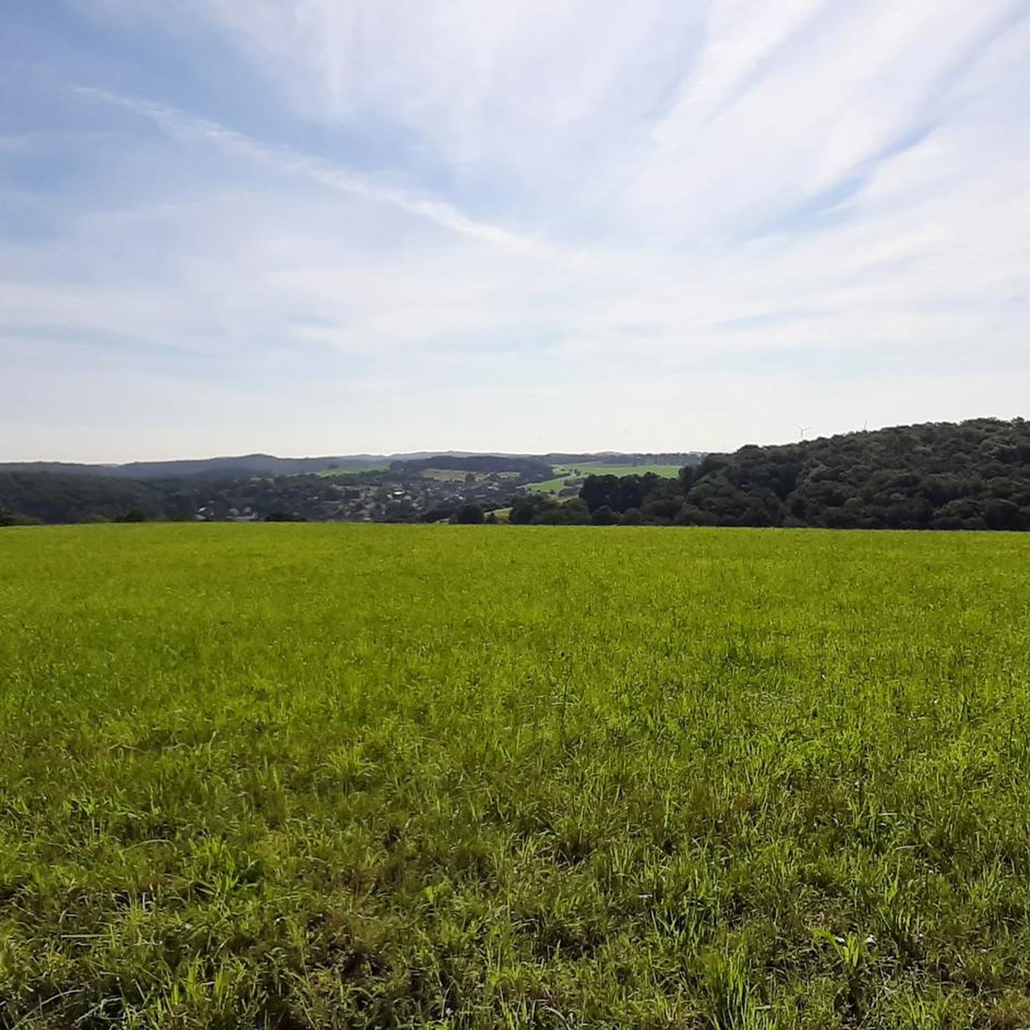
A really nice resting place. From here you have a beautiful view of the village.
0
0

Ideal for a short rest or a picnic 🧺
0
0

Great shelter above Oberreidenbach with fireplace
2
0
Frequently Asked Questions
How many hiking trails are available in Oberreidenbach?
Oberreidenbach offers a wide variety of hiking opportunities, with over 440 routes available. These range from easy strolls to more challenging treks, ensuring there's something for every fitness level.
What kind of terrain can I expect on hikes around Oberreidenbach?
The region is characterized by picturesque green hills and valleys, providing a scenic backdrop for your hikes. You'll encounter diverse landscapes, including unique rock formations like the Dietersfels and areas with significant biotopes.
Are there any family-friendly hiking options in Oberreidenbach?
Yes, Oberreidenbach has numerous easy trails suitable for families. For example, the Weiherdell Biotope loop from Dickesbach is a 5.8 km easy trail that takes about 1 hour 41 minutes to complete, leading through a beautiful biotope.
Can I bring my dog on the hiking trails in Oberreidenbach?
While specific regulations for dogs are not detailed, generally, dogs are welcome on hiking trails in the Saar-Hunsrück Nature Park, provided they are kept on a leash and owners clean up after them. It's always a good idea to check local signage for any specific restrictions on certain paths or nature reserves.
What natural landmarks or viewpoints can I see while hiking?
Hikers can explore unique rock formations such as the Teufelsschlucht and the Dietersfels Rock Formation. Panoramic views are a highlight, with impressive vistas from the Erbeskopf, as well as specific viewpoints like Junkerwaldblick and Kelter. The Eselbrücke Kohlenhütte – Junkerwaldblick Viewpoint loop is a great option to experience the Junkerwaldblick.
Are there any circular walks available in Oberreidenbach?
Many of the trails in Oberreidenbach are designed as circular routes, offering convenient starting and ending points. Examples include the Dietersfels Rock Formation – Kelter Viewpoint and Rest Area loop and the Gasthaus Henn loop from Oberreidenbach.
What do other hikers enjoy most about hiking in Oberreidenbach?
The hiking routes in Oberreidenbach are highly rated by the komoot community, with an average score of 4.6 stars from over 3000 reviews. Hikers often praise the diverse landscapes, the unique rock formations, and the panoramic views from various points along the trails.
Are there any places to rest or find shelter along the trails?
Yes, for convenience and comfort, hikers can find amenities such as the Brockelberg Shelter and Hiking Hut, which includes a fire pit. The Schinderhannes Hut and Schinderhannes Oak Natural Monument are also located along some routes, providing perfect spots for rest and enjoyment.
What are some interesting natural features or biotopes to explore?
The region boasts significant biotopes, including the Weiherdell Biotope and the Bornberg – Biotope at Schnorrenbach, showcasing the area's diverse flora and fauna. The Kammerwoog Reservoir and Nature Reserve also provides another beautiful natural attraction.
Are there any historical or cultural points of interest near the hiking routes?
Beyond natural beauty, the region features unique 'Muße trails' within the NaturWanderPark delux, which intertwine regional tales, legends, myths, and historical events with the natural surroundings, offering a mindful hiking experience. You can also find historical sites like the Bierfincksgraben Mine nearby.
What is the best time of year to go hiking in Oberreidenbach?
Oberreidenbach is suitable for hiking throughout much of the year. The green hills and valleys are particularly vibrant in spring and summer. In winter, the nearby Erbeskopf ski area offers additional outdoor recreation, but hiking conditions may vary depending on snow and ice.
Are there any lakes or water features accessible from the trails?
Yes, the Kammerwoog Reservoir and Nature Reserve is a notable water feature in the area. Additionally, you can find several lakes nearby, such as the Baumholder Town Pond and Schlossweiher, which can be explored as part of a wider visit to the region.
Most popular attractions around Oberreidenbach

Get inspired with the komoot mobile app


Explore more
Browse the best Hikes in other regions.
