The best MTB trails around Obergröningen
4.5
(1402)
5,665
riders
419
rides
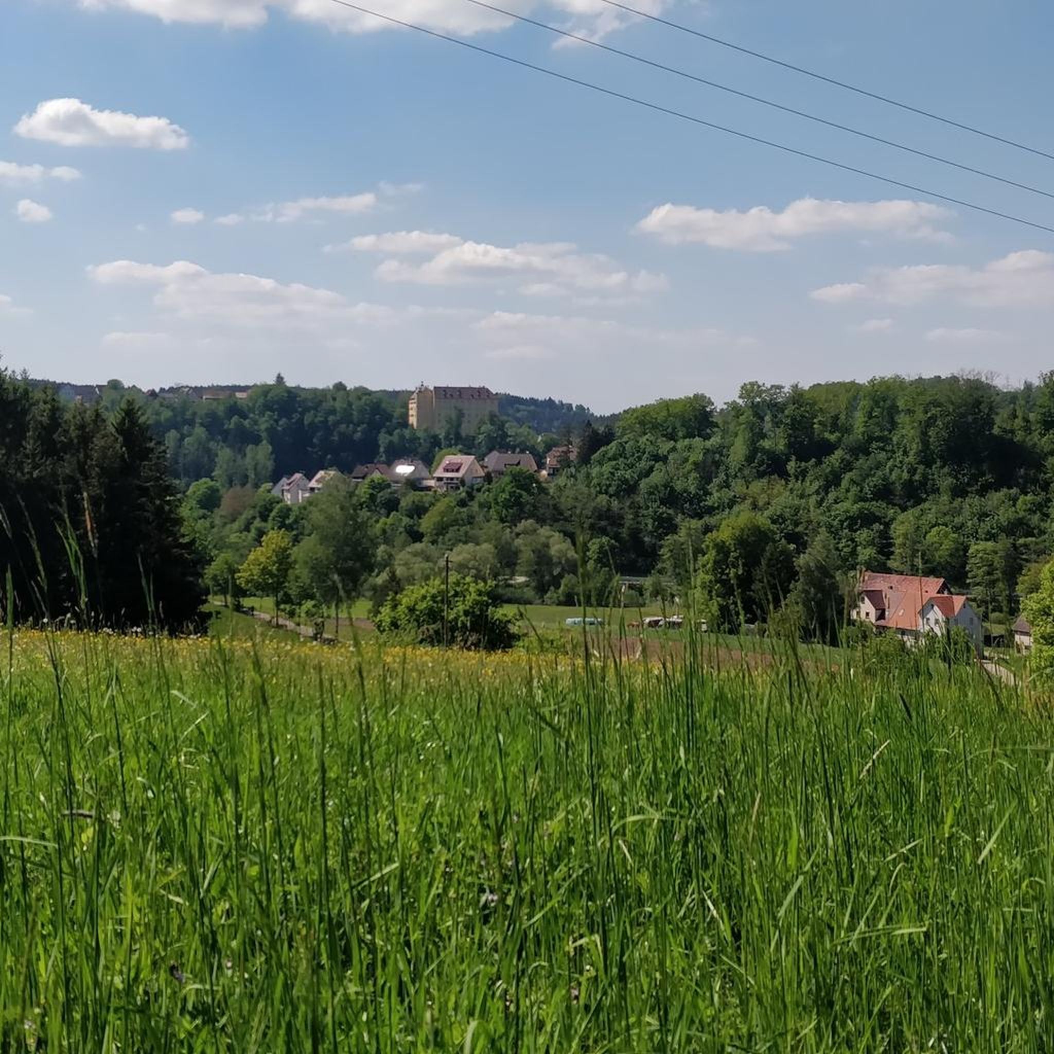
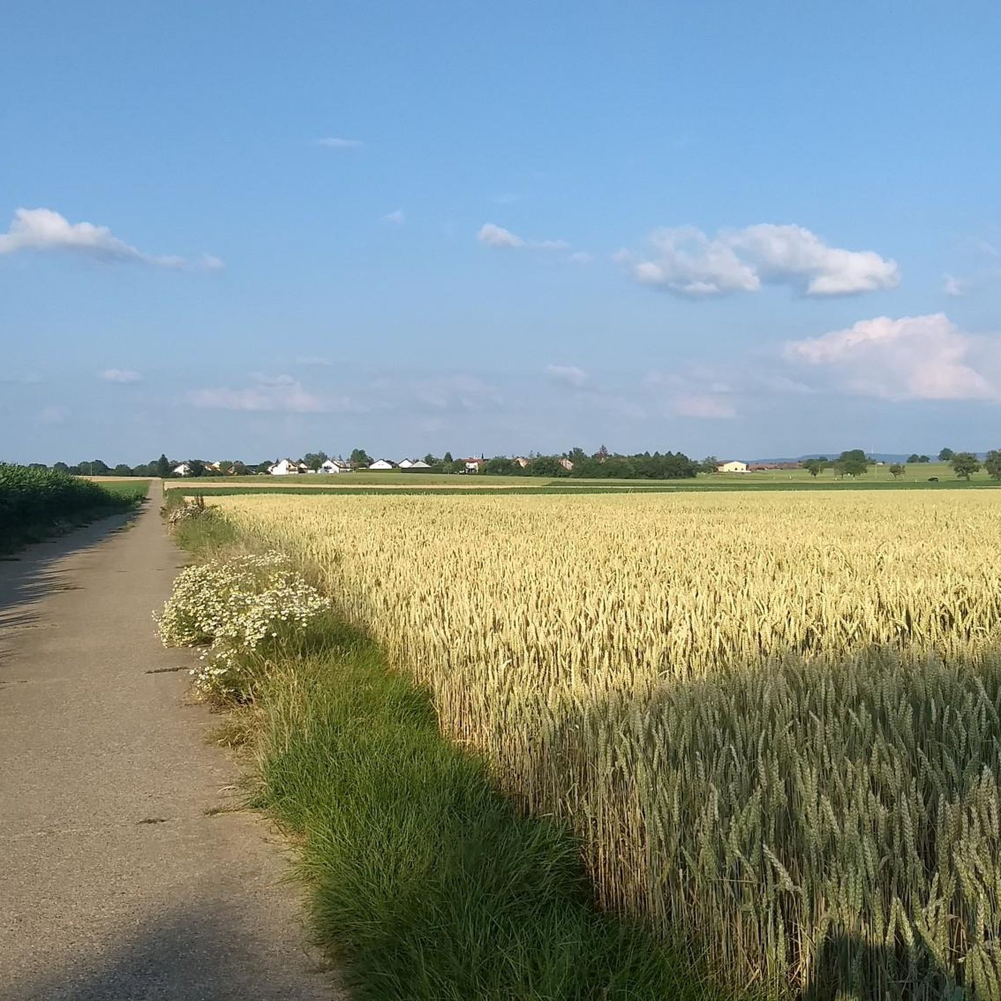
Mountain biking around Obergröningen offers diverse terrain within the Schwäbischer Wald. The region features extensive forests, secluded river valleys, and varied topography with hills and gorges. This landscape provides conditions for mountain biking, including unpaved paths, challenging ascents, and descents. The area is characterized by a mix of woodlands, meadows, and waterways, making it suitable for various riding styles.
Best mountain bike trails around Obergröningen
- The most popular mountain bike trail is Kocher Cycle Path – Altenberg Tower loop from…
Last updated: July 1, 2026
4.6
(14)
23
riders
31.9km
02:17
470m
470m
Hard mountain bike ride. Good fitness required. Advanced riding skills necessary. Some portions of the route may require you to push your bike.
4.3
(9)
26
riders
39.9km
02:48
420m
420m
Hard mountain bike ride. Good fitness required. Advanced riding skills necessary. Some portions of the route may require you to push your bike.

Sign up for free
6
riders
31.4km
02:19
500m
500m
Hard mountain bike ride. Good fitness required. Advanced riding skills necessary. Some portions of the route may require you to push your bike.
7
riders
28.6km
02:15
390m
390m
Moderate mountain bike ride. Good fitness required. Suitable for all skill levels.
4
riders
40.8km
03:26
660m
660m
Moderate mountain bike ride. Good fitness required. Advanced riding skills necessary.
Get access to more routes and recommendations from other explorers.
Sign up for free
Already have an account?
Our route recommendations are based on thousands of hikes, rides, and runs completed by other people on komoot.
Start today with a free account
Your next adventure awaits.
Login or Signup
Tips from the Community

Below the Altenberg tower is a nice snack station
0
0

Nice place for a rest right next to the Kocher cycle path.
0
0
The gardens are now cordoned off and completely overgrown. What a shame.
1
0

Very nice view.
0
0

Altenbergturm and the Jausenstation, that always works and is a great combination.
0
0
A fantastic bike path through the Kocher Valley. Beautiful views of the mountain ridges and the river are a constant feature. Highly recommended.
0
0
Beautiful little, partly historic place.
0
0
The old railway line is being repurposed. Great!
0
0
Frequently Asked Questions
How many mountain bike trails are available around Obergröningen?
There are over 430 mountain bike trails around Obergröningen, offering a wide range of options for different skill levels. This includes 74 easy routes, 285 moderate routes, and 74 difficult routes, ensuring there's something for everyone.
What is the best time of year for mountain biking in Obergröningen?
The best time for mountain biking in Obergröningen and the wider Schwäbischer Wald region is from spring to autumn. During these seasons, the weather is generally pleasant, and the natural landscape is in full bloom, providing ideal conditions for exploring the trails.
Are there mountain bike trails suitable for beginners in Obergröningen?
Yes, Obergröningen offers 74 easy mountain bike routes that are suitable for beginners or those looking for a more relaxed ride. These trails typically feature less challenging terrain and elevation changes, allowing riders to enjoy the scenic surroundings at a comfortable pace.
What kind of terrain can I expect on the mountain bike trails around Obergröningen?
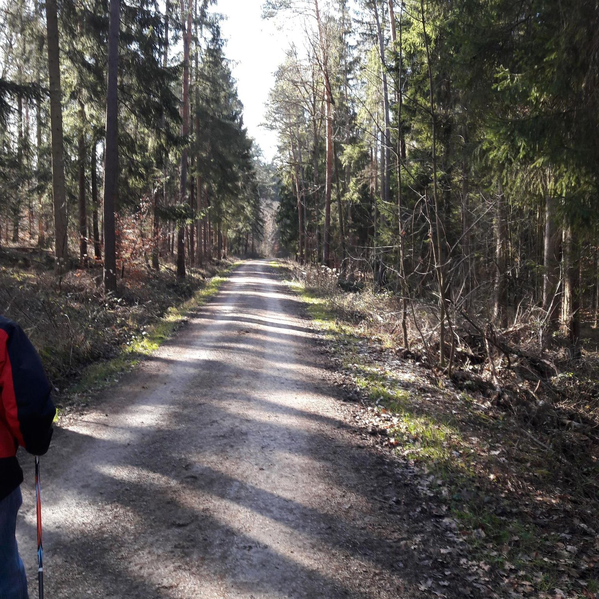
The terrain around Obergröningen is highly varied, characterized by the diverse landscape of the Schwäbischer Wald. You can expect a mix of dense forests, secluded river valleys, rolling hills, and open meadows. Trails often include unpaved paths, challenging ascents, and exciting descents, providing a dynamic riding experience.
Are there any circular mountain bike routes in Obergröningen?
Yes, many of the mountain bike routes around Obergröningen are circular, allowing you to start and end at the same point. An example is the Kocher Cycle Path – View of the Kocher valley loop from Untergröningen, a moderate 22.3 km trail that offers scenic views and a convenient loop format.
What natural features or landmarks can I see while mountain biking near Obergröningen?
While mountain biking around Obergröningen, you can discover various natural features and landmarks. The region is known for its river valleys, such as the Kocher valley, and dense forests. Nearby attractions include the Hohler Stein Cave and the Forest Cave in Naturpark Schwäbisch-Fränkischer Wald. You might also encounter reservoirs like the Götzenbachsee, which is featured on routes like the Götzenbachsee Reservoir – Götzenbach Reservoir loop from Untergröningen.
Are there any viewpoints along the mountain bike trails in Obergröningen?
Yes, the varied topography of the Schwäbischer Wald means there are many opportunities for scenic viewpoints. Trails often lead through elevated sections or along ridges that offer panoramic views of the surrounding forests and valleys. For instance, the View of the Kocher valley – Kocher Cycle Path loop from Untergröningen specifically highlights a view of the Kocher valley.
What do other mountain bikers enjoy most about the trails in Obergröningen?
The mountain bike trails around Obergröningen are highly rated by the komoot community, with an average score of 4.6 stars from over 1,100 reviews. Riders often praise the diverse terrain, the challenging ascents and descents, and the beautiful, dense forests and river valleys that characterize the region. The well-maintained network of trails also receives positive feedback for offering options for various skill levels.
Are there any cafes or huts along the mountain bike routes for a break?
Yes, there are places to stop for a break or refreshment. For example, the Altenberg Snack Station and the Kolbenhof Stüble are nearby options. Additionally, you might find barbecue huts or shelters like the Barbecue hut or shelter along some routes, perfect for a self-catered break.
Can I bring my dog on the mountain bike trails in Obergröningen?
While specific regulations for dogs on mountain bike trails can vary, the Schwäbischer Wald generally welcomes dogs. It's always recommended to keep your dog on a leash, especially in forested areas or near wildlife, and to ensure they are well-behaved and don't disturb other trail users or animals. Always check local signage for any specific restrictions.
Where can I park my car when mountain biking in Obergröningen?
Parking options are generally available in and around Obergröningen and its surrounding villages like Untergröningen, which serve as common starting points for many routes. Look for designated parking areas near trailheads or in village centers. Specific parking information is often available on local tourism websites or within komoot tour descriptions.
Are there any particularly challenging mountain bike routes for experienced riders?
Absolutely. For experienced riders seeking a challenge, Obergröningen offers 74 difficult mountain bike routes with significant elevation changes and technical sections. An example is the Kocher Cycle Path – Untergröningen Castle loop from Obergröningen, which covers 31.4 km with over 500 meters of elevation gain, providing a demanding ride through varied terrain.
Most popular routes around Obergröningen
Most popular attractions around Obergröningen

Get inspired with the komoot mobile app


Explore more
Browse the best MTB trails in other regions.
