The best road cycling routes around Oberentfelden
4.5
(1120)
20,153
riders
333
rides
Road cycling around Oberentfelden, situated in the lower Suhr valley in the canton of Aargau, Switzerland, offers diverse landscapes for exploration. The region is characterized by extensive agricultural land and over 42% forest cover, providing a natural backdrop for routes. Forested hills like "Berg" and "Tann" add varied topography and elevation challenges, while the Suhre and Uerke rivers enrich the natural scenery. This combination of features creates a compelling environment for road cyclists.
Best road cycling routes around Oberentfelden
- The…
Last updated: October 13, 2026
5.0
(3)
108
riders
48.2km
02:35
520m
520m
Moderate road ride. Good fitness required. Mostly well-paved surfaces and easy to ride.
4.0
(3)
96
riders
46km
01:59
300m
300m
Moderate road ride. Good fitness required. Mostly well-paved surfaces and easy to ride.

3.4
(5)
77
riders
43.3km
01:53
290m
290m
Easy road ride. Great for any fitness level. Mostly well-paved surfaces and easy to ride.
4.7
(3)
47
riders
43.8km
02:04
520m
520m
Moderate road ride. Good fitness required. Mostly well-paved surfaces and easy to ride.
5.0
(1)
41
riders
Moderate road ride. Good fitness required. Mostly well-paved surfaces and easy to ride.
Get access to more routes and recommendations from other explorers.
Already have an account?
Our route recommendations are based on thousands of hikes, rides, and runs completed by other people on komoot.
Start today with a free account
Your next adventure awaits.
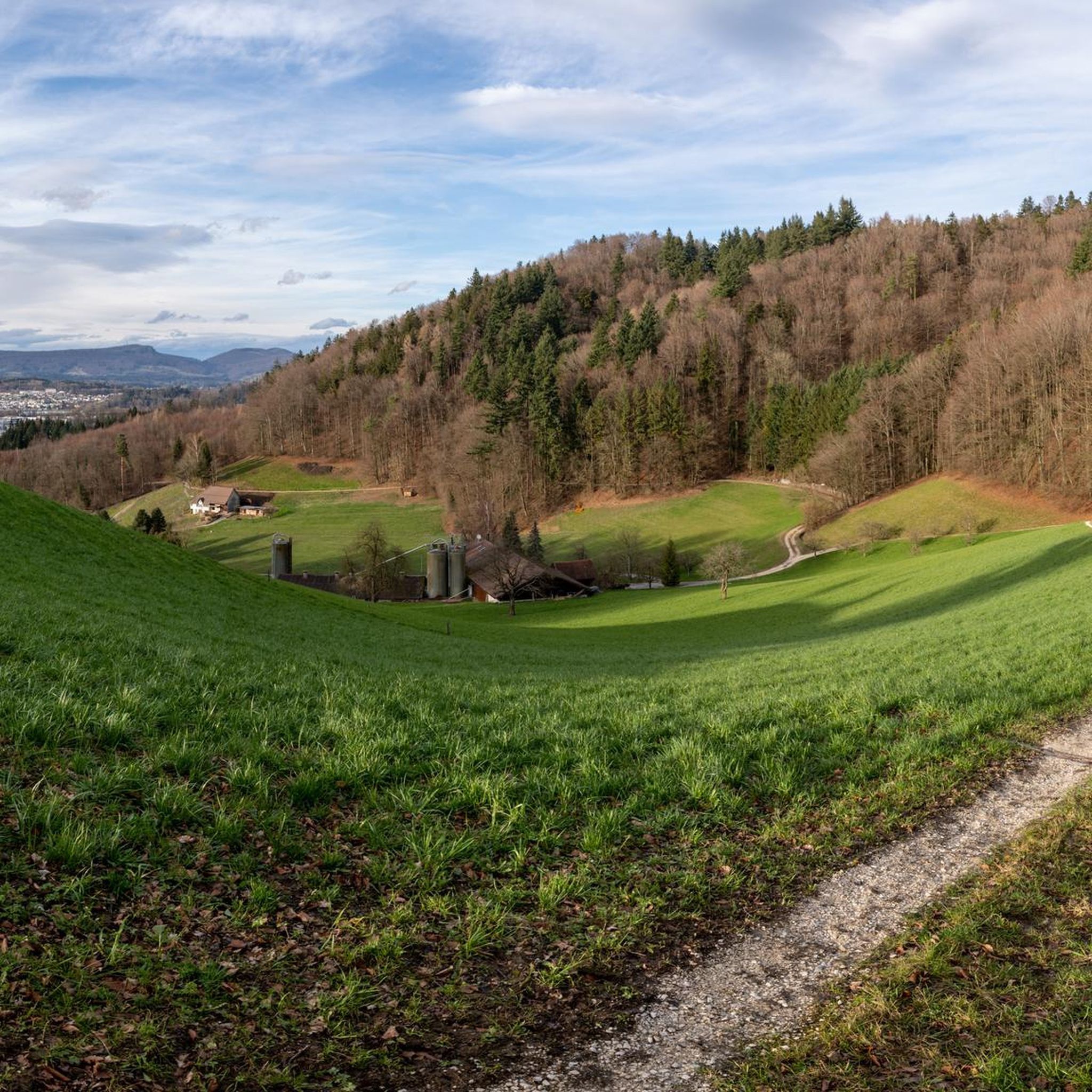
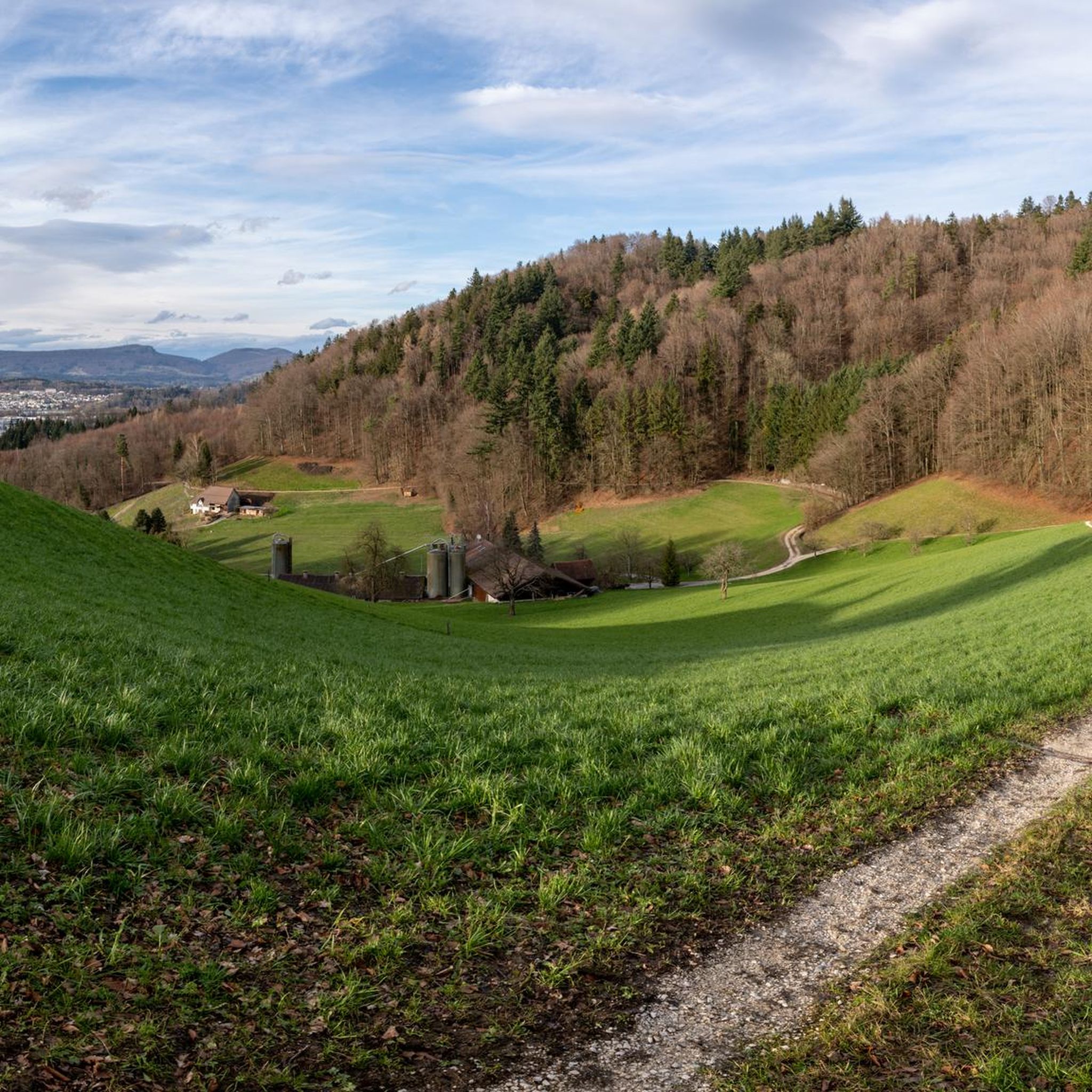
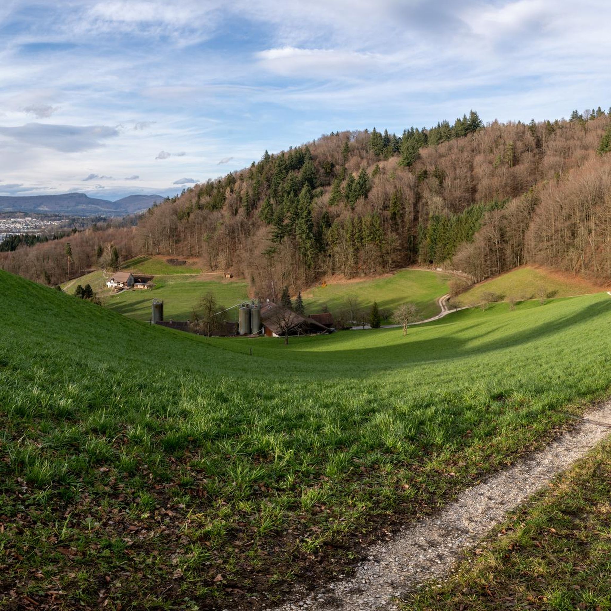
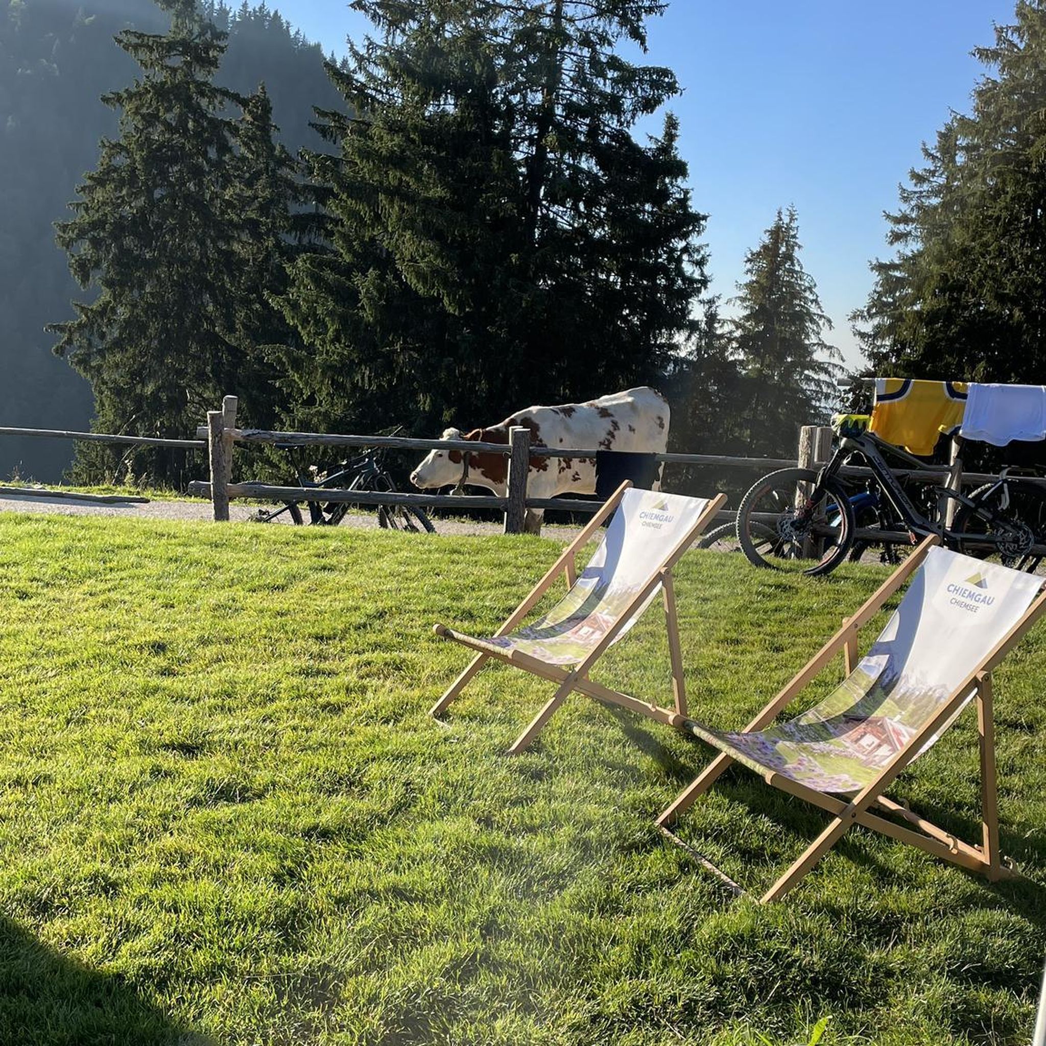
Tips from the Community

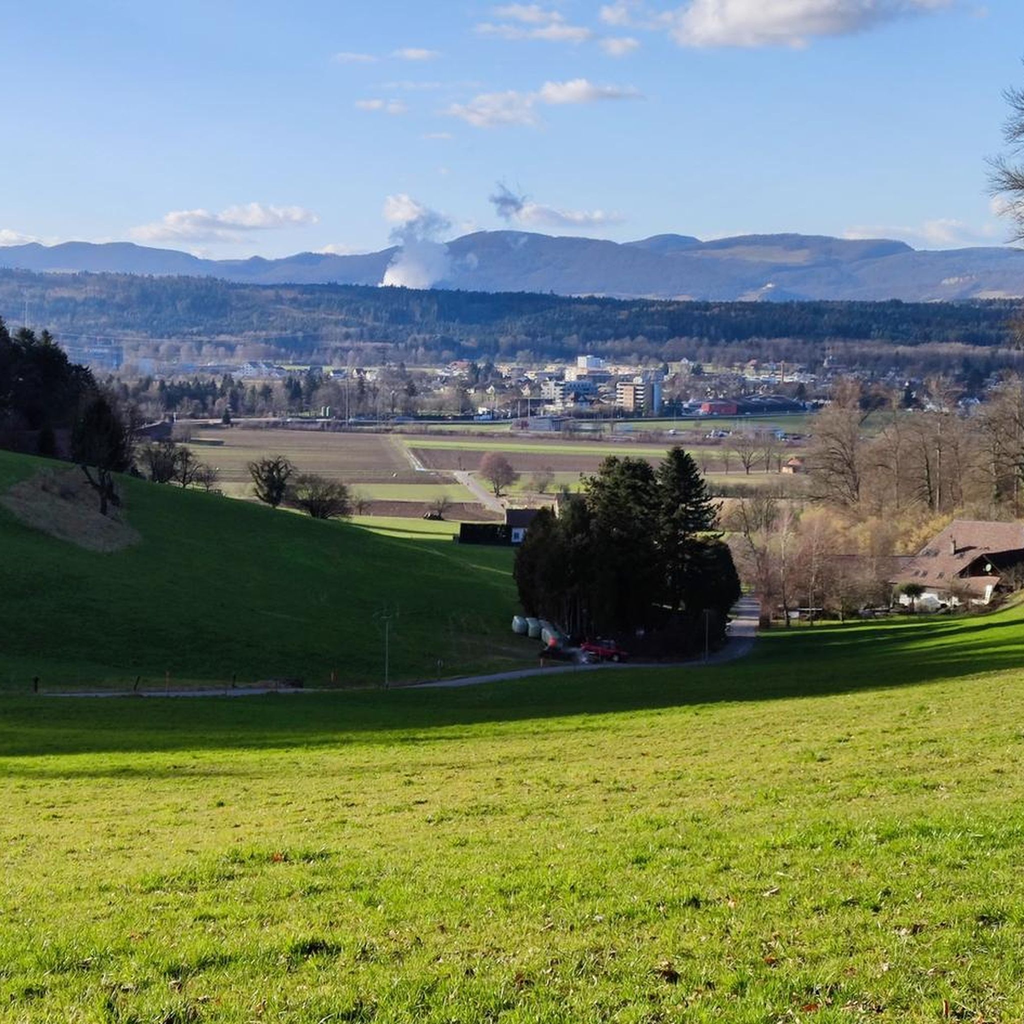
beautiful view, also into the mountains
0
0

It is beautiful here
2
0

The charming middle age village of Lenzbug has a lot beautiful buildings all lined with cobblestones, not the Paris-Roubaix cobblestones but nonetheless offering one a wide choice on cafés, restaurants and other eateries. The cycleways in and around the city making it easy to navigate the city.
0
0

Lenzburg, with its old town, is an inviting place to linger. Cafes, restaurants, and small shops are all located here, creating a special atmosphere.
3
0

A nice, mostly smooth asphalted cycleway connecting Köllikon and Safenwil with no traffic.
0
0

No cars. Also they removed the stupid bend in the middle
0
0
Frequently Asked Questions
What kind of terrain can I expect when road cycling around Oberentfelden?
The region offers a diverse landscape for road cycling. You'll find relatively flat to gently rolling terrain in the lower Suhr valley, ideal for smoother rides. However, forested hills like "Berg" and "Tann" provide varied topography and elevation challenges for those seeking more demanding ascents. Routes also wind along the Suhre and Uerke rivers, offering scenic, flatter sections.
How many road cycling routes are available in the Oberentfelden area?
There are over 340 road cycling routes available in and around Oberentfelden, catering to various fitness and skill levels. This extensive network ensures plenty of options for exploration, from easy rides to challenging ascents.
Are there any family-friendly road cycling routes in Oberentfelden?
Yes, Oberentfelden offers routes suitable for families, particularly those that follow the Suhre and Uerke rivers or wind through the agricultural lands. These areas tend to have gentler gradients and provide a pleasant environment for a family outing. Look for routes categorized as 'easy' on komoot for the most suitable options.
What are some notable landmarks or viewpoints I can encounter on a road cycling tour?
Road cycling routes in the region often feature scenic views. For panoramic vistas, consider routes that pass near Wasserflue, which offers views of the Swiss Alps and the Black Forest. You might also encounter historical sites like Wildenstein Castle on certain loops, providing a cultural highlight to your ride.
What is the best time of year for road cycling in Oberentfelden?
The spring, summer, and early autumn months generally offer the best conditions for road cycling in Oberentfelden. During these seasons, the weather is typically mild, and the natural landscapes are at their most vibrant, making for pleasant rides through valleys, forests, and along rivers.
Are there challenging road cycling routes for experienced riders?
Absolutely. For experienced riders seeking a challenge, routes that incorporate the forested hills like "Berg" and "Tann" will provide significant elevation gain. An example is the Summit of Wiliberg – Over the Böhler loop from Unterentfelden Post, which features over 500 meters of elevation gain.
What do other road cyclists enjoy most about the routes in Oberentfelden?
The road cycling routes in Oberentfelden are highly rated by the komoot community, with an average score of 4.6 stars from over 800 reviews. Cyclists often praise the diverse landscapes, from the tranquil Suhr valley to the challenging forested hills, and the well-maintained network of paths that offer varied experiences.
Can I access road cycling routes in Oberentfelden using public transport?
Oberentfelden is well-connected within the canton of Aargau. Many routes start from central points in the municipality or nearby villages, which are accessible by public transport. It's advisable to check local bus or train schedules to plan your starting point effectively.
Are there any long-distance road cycling options near Oberentfelden?
While many routes are loops around the immediate area, the extensive network allows for longer rides by combining sections or exploring further into the canton. For example, the View of Schloss Trostburg – Summit of Wiliberg loop from Oberentfelden Uerkenbrücke covers over 60 kilometers, offering a substantial ride.
Where can I find parking for road cycling routes in Oberentfelden?
Parking is generally available in and around Oberentfelden, particularly near village centers or designated public parking areas. Many routes start from accessible points, making it convenient to park your vehicle before heading out on your ride.
Are there any easy road cycling routes suitable for beginners?
Yes, beginners can find suitable routes in Oberentfelden. The terrain in the lower Suhr valley is relatively flat, offering an excellent starting point. An example of an easier route is the Wildenstein Castle – View of the Aare River loop from Unterentfelden Post, which is categorized as easy and offers a pleasant ride.
What natural features define the road cycling experience in Oberentfelden?
The road cycling experience in Oberentfelden is characterized by its location in the lower Suhr valley, offering gentle gradients along the Suhre and Uerke rivers. The region also features extensive forest cover and forested hills like "Berg" and "Tann," providing a mix of shaded routes and varied topography. These natural elements create a picturesque and engaging environment for cyclists.
Most popular routes around Oberentfelden
Most popular attractions around Oberentfelden

Get inspired with the komoot mobile app


Explore more
Browse the best Road cycling routes in other regions.
