The best walks and hikes around Oberdachstetten
4.6
(632)
2,468
hikers
33
hikes
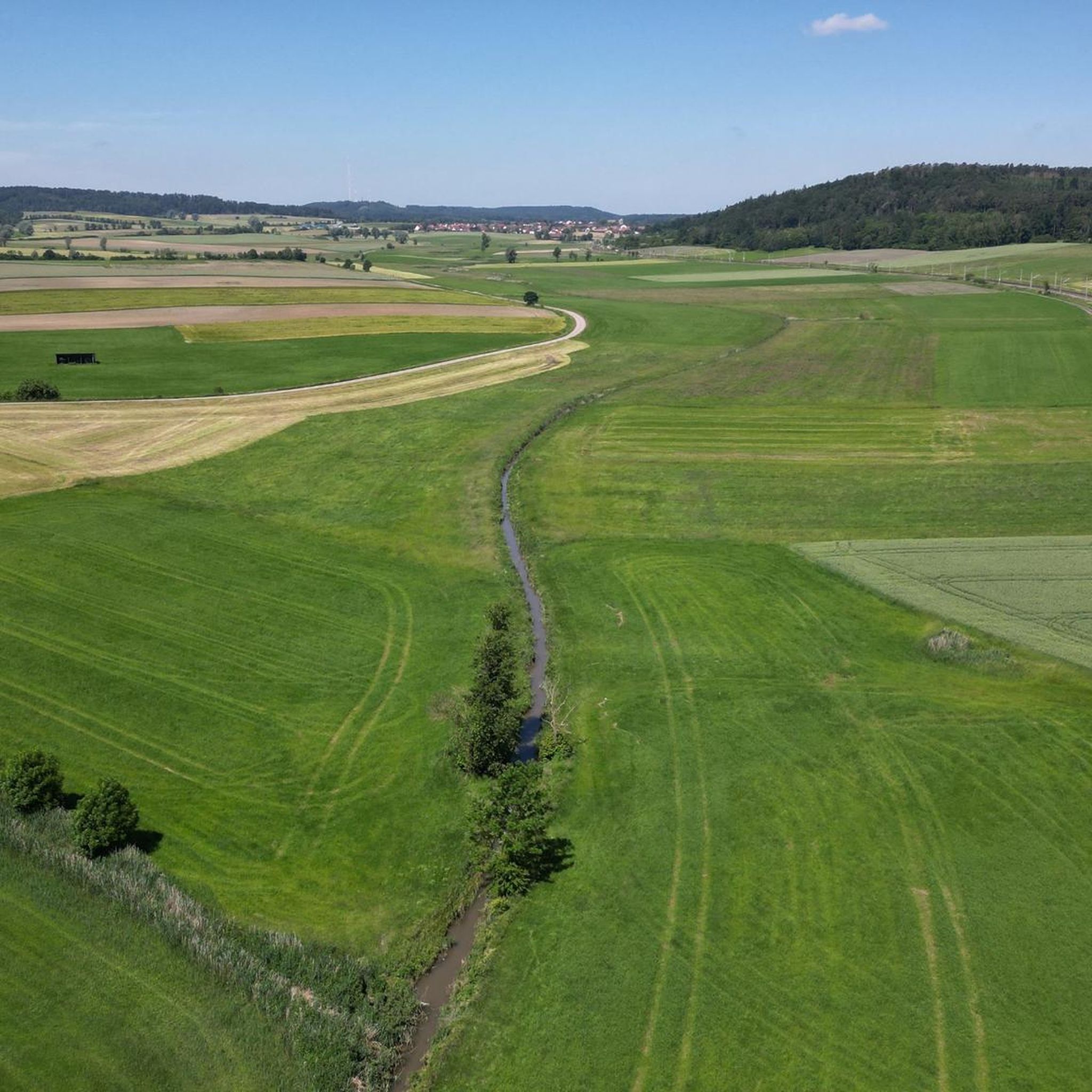
Hiking around Oberdachstetten offers a variety of landscapes, characterized by rolling hills, dense woodlands, and open fields. The region features routes that often follow historical paths or natural water features. Hikers can expect a mix of gentle ascents and descents, providing diverse terrain for exploration. The area's geology includes sandstone formations, contributing to varied scenic experiences.
Best hiking trails around Oberdachstetten
- The most popular hiking route is Neue Spinnerin Memorial – Fingalshöhle Sandstone Quarry loop from Oberdachstetten, a 8.1…
Last updated: July 1, 2026
4.2
(5)
20
hikers
Moderate hike. Good fitness required. Easily-accessible paths. Suitable for all skill levels.
4.8
(5)
17
hikers
Easy hike. Great for any fitness level. Easily-accessible paths. Suitable for all skill levels.

Sign up for free
4.5
(4)
13
hikers
6.89km
01:57
150m
140m
Easy hike. Great for any fitness level. Easily-accessible paths. Suitable for all skill levels.
4.1
(8)
21
hikers
Moderate hike. Good fitness required. Easily-accessible paths. Suitable for all skill levels.
4.7
(3)
15
hikers
7.42km
02:02
120m
120m
Moderate hike. Good fitness required. Easily-accessible paths. Suitable for all skill levels.
Get access to more routes and recommendations from other explorers.
Sign up for free
Already have an account?
Our route recommendations are based on thousands of hikes, rides, and runs completed by other people on komoot.
Start today with a free account
Your next adventure awaits.
Login or Signup
Popular around Oberdachstetten

Hike & Beer in Franconia and Upper Palatinate — the VGN leisure tips
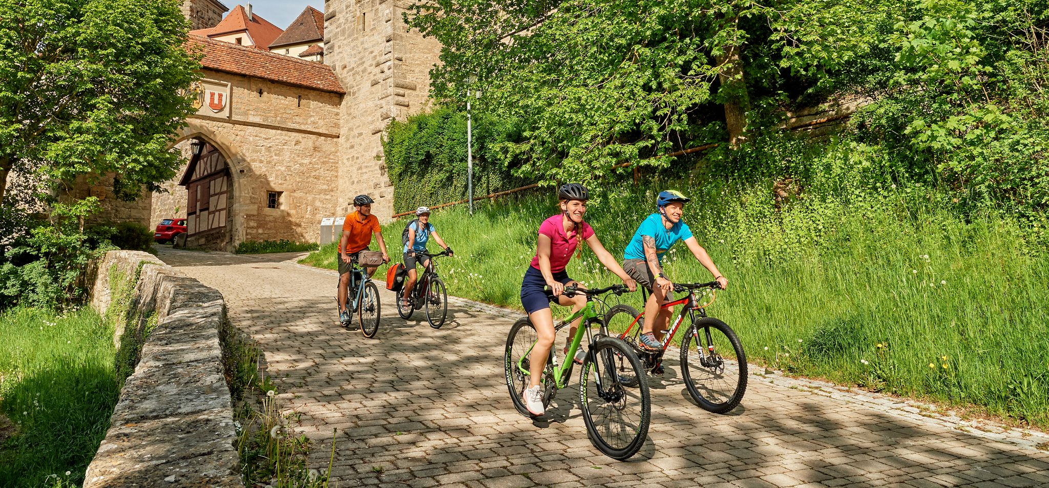
Cycling in Romantic Franconia – beautiful landscapes & local food
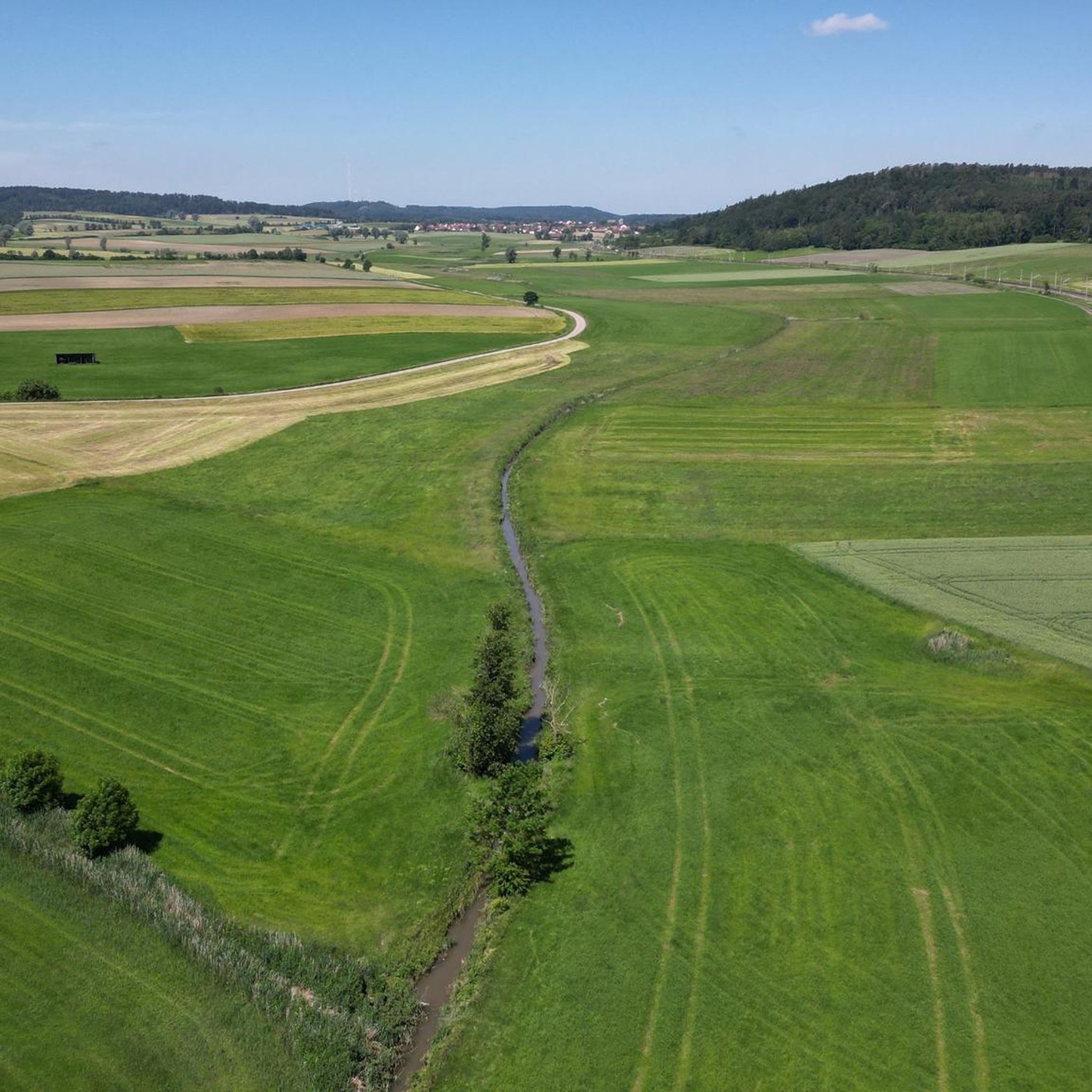
Cycling around Oberdachstetten
MTB Trails around Oberdachstetten
Road Cycling Routes around Oberdachstetten
Running Trails around Oberdachstetten
Gravel biking around Oberdachstetten


Tips from the Community

Great rest area which is also covered in case of rain.
0
0
The wayside shrine "The Spinner" is a well-known, legendary stone cross in the Middle Franconian municipality of Oberdachstetten (Ansbach district). Location: The shrine is located in the "Devil's Ditch" along a hiking trail leading from Oberdachstetten towards Westheim. Legend: According to tradition, the maiden Apollonia Hufnagel spun there at midnight despite a warning. The next day, she was found with her neck twisted. Significance: The cross commemorates this gruesome event and is one of the region's landmarks in the Frankenhöhe Nature Park. Hiking: The memorial is situated along popular hiking trails. It is a typical wayside shrine, often also interpreted as a grave marker in connection with the legend.
0
0
The memorial "The Spinner" at Teufelsgraben (Devil's Ditch) is a grave monument and a legendary site near Oberdachstetten in the Ansbach district of Middle Franconia. Background and Legend: Location: The monument is located in the woods in the "Teufelsgraben" (Devil's Ditch) on the path from Oberdachstetten to Westheim. The Legend: Legend tells of a young woman named Apollonia Hufnagel from Anfelden who, despite warnings, went to the spinning room in Westheim and crossed the eerie Teufelsgraben. The legend recounts that she spun there at midnight and was found the next day with her neck twisted.
1
0
Rest bench with a magnificent panoramic view of Lake Obernzenner
0
0

Beautiful view into the upper Zenntal valley
1
0
A station on the Petersberg Adventure Trail
1
0
Here you have a good view over Wessachhof (military training area)
0
0
Former railway embankment for the rail connection of the munitions manufacturing plant
0
0
Frequently Asked Questions
How many hiking trails are available around Oberdachstetten?
There are over 30 hiking trails around Oberdachstetten, offering a diverse range of experiences. These include 11 easy routes, 21 moderate trails, and 1 more challenging option, ensuring there's something for every fitness level.
Are there any easy, family-friendly hikes in Oberdachstetten?
Yes, Oberdachstetten offers several easy routes suitable for families. A great option is the Former Railway Line to Muna loop from Oberdachstetten, an easy 4.6-mile (7.4 km) path that follows a historical railway line through varied countryside, perfect for a relaxed outing.
What kind of natural attractions can I see along the hiking trails?
The trails around Oberdachstetten lead to various natural attractions. You can discover the Source of the Altmühl (Hornauer Pond) or the Hirschteich (Altmühl spring). The region also features interesting geological formations like the sandstone quarry on the Neue Spinnerin Memorial – Fingalshöhle Sandstone Quarry loop from Oberdachstetten.
Are there any circular walks available in the area?
Many of the routes around Oberdachstetten are designed as circular walks, allowing you to start and end at the same point. For example, the Hiking loop from Oberdachstetten is a 4.3-mile (6.9 km) trail that takes you through woodlands and open terrain.
What do other hikers say about the trails in Oberdachstetten?
The hiking trails in Oberdachstetten are highly regarded by the komoot community, with an average rating of 4.6 stars from over 570 reviews. Hikers often praise the diverse landscapes, well-maintained paths, and the blend of natural beauty with historical sites.
Are there any challenging hikes for experienced trekkers?
While most trails are easy to moderate, there is one difficult route for those seeking a greater challenge. The region's terrain, characterized by rolling hills and woodlands, offers varied ascents and descents that can provide a good workout on longer routes.
Can I bring my dog on the hiking trails?
Most hiking trails in Oberdachstetten are dog-friendly, allowing you to enjoy the natural surroundings with your canine companion. It's always recommended to keep dogs on a leash, especially in areas with wildlife or near livestock, and to carry waste bags.
Are there any viewpoints or scenic spots along the trails?
Yes, several trails offer rewarding viewpoints. The Summit cross on the Petersberg – View of Marktbergel loop from Oberdachstetten provides excellent panoramic views of the surrounding landscape, including the town of Marktbergel. You can also visit the Summit cross on the Petersberg itself for a notable landmark.
What is the best time of year to go hiking in Oberdachstetten?
Oberdachstetten offers pleasant hiking experiences throughout much of the year. Spring brings blooming wildflowers, summer provides lush green landscapes, and autumn showcases vibrant fall colors. Even winter can be beautiful, though some paths might be less accessible depending on snow conditions.
Where can I find parking for the hiking trails?
Parking is generally available in and around the village of Oberdachstetten, often near trailheads or public areas. Specific parking information can usually be found on individual route descriptions on komoot, helping you plan your starting point.
Are there any long-distance hiking options or ways to combine trails?
While Oberdachstetten primarily features day hikes, the network of trails allows for combinations to create longer routes. The region's historical paths and varied terrain mean you can link several shorter loops or sections to extend your hiking adventure.
Are there any gorges or unique geological features to explore?
Yes, the area around Oberdachstetten features several interesting gorges. You can explore the Tiefenbachtal or the Egloffswinden Gorge, which offer unique natural environments and geological formations, including sandstone.
Most popular routes around Oberdachstetten
Most popular attractions around Oberdachstetten

Get inspired with the komoot mobile app


Explore more
Browse the best Hikes in other regions.
