Attractions and Places To See around Oberegger Stausee - Top 4
Best attractions and places to see around Oberegger Stausee include natural features and outdoor recreational opportunities. The area is recognized as a significant natural feature, popular for hiking, cycling, and birdwatching. It offers a network of trails and points of interest for nature enthusiasts. The reservoir itself serves as a central point for various activities.
Best attractions and places to see around Oberegger Stausee
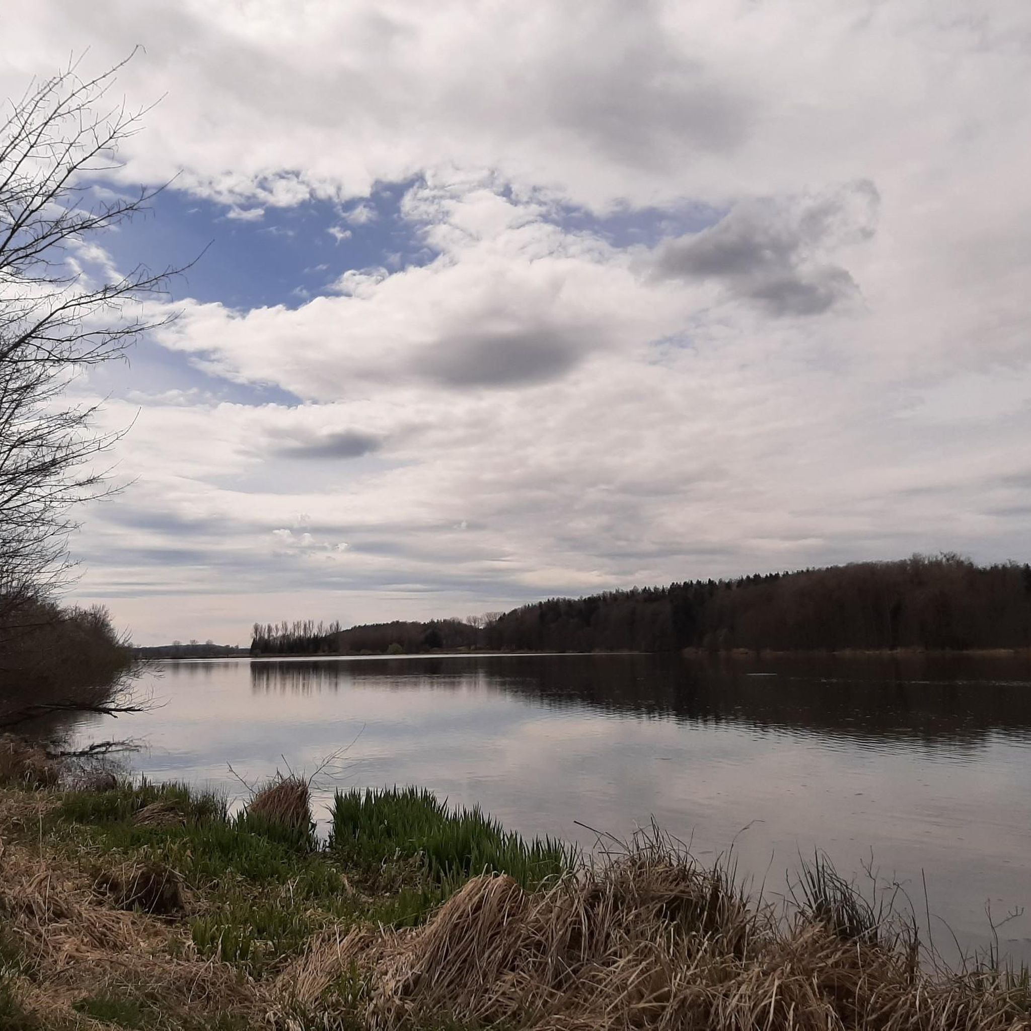
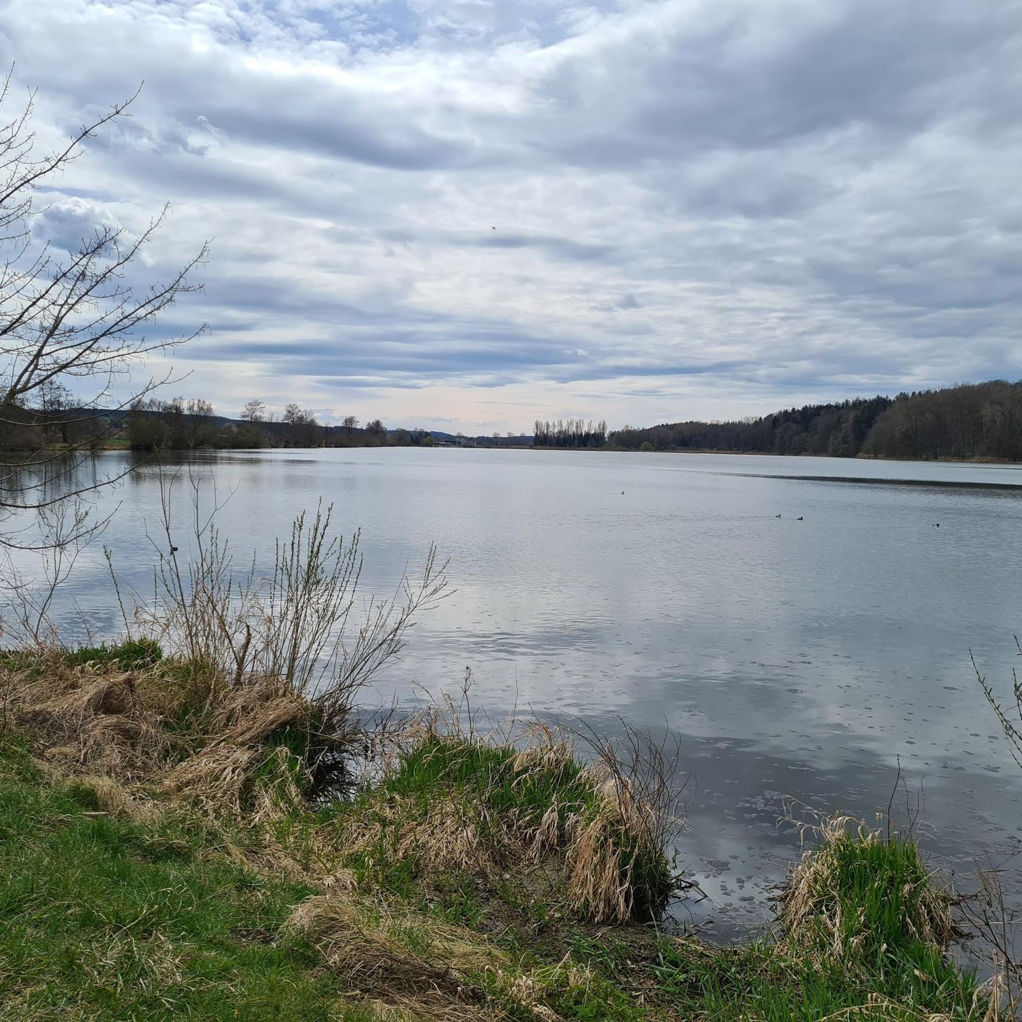
- The most popular attractions is Oberegger Reservoir, a lake that invites visitors to linger and…
Last updated: June 24, 2026
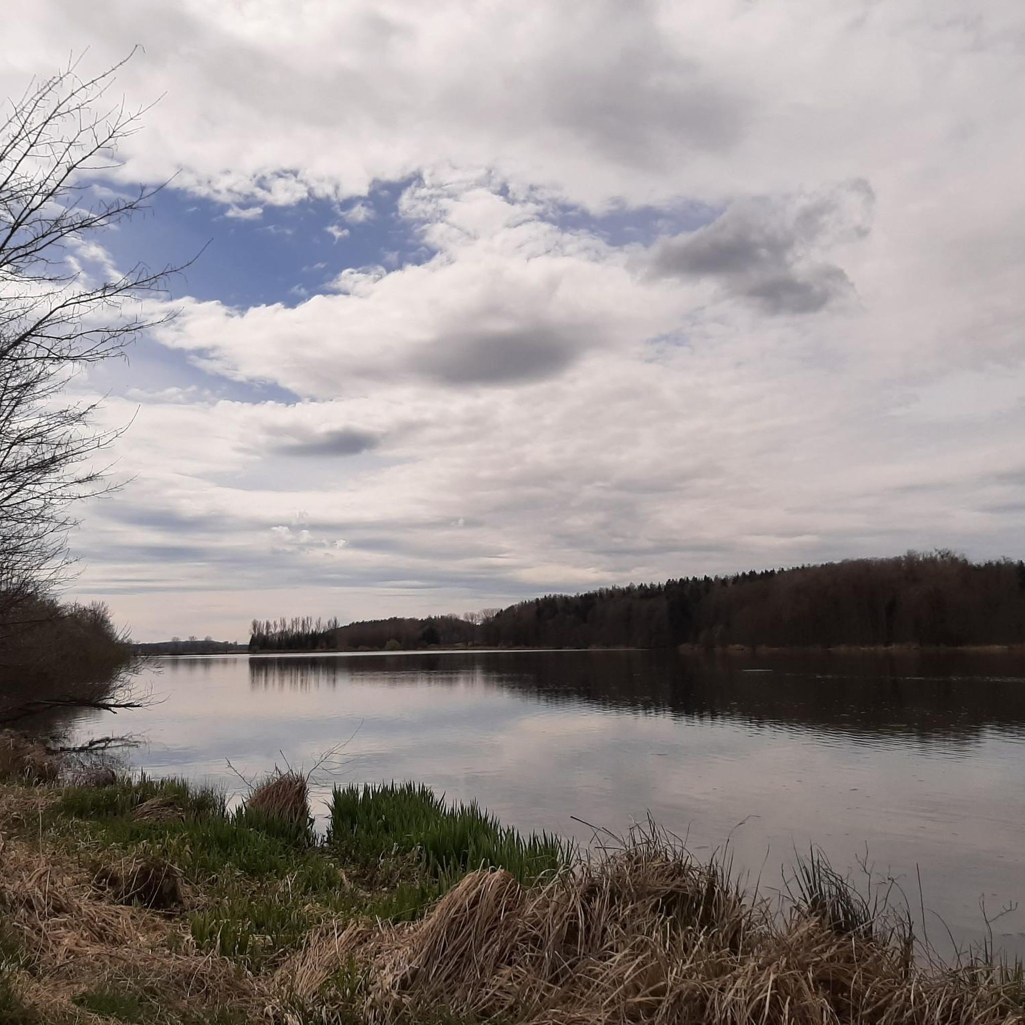
Oberegger Reservoir
Highlight • Lake
Translated by Google •
Tip by

Singletrack Along the Günz
Highlight (Segment) • Trail
Translated by Google •
Tip by

Sign up now to discover places like this
Get recommendations on the best single tracks, peaks, & plenty of other exciting outdoor places.
Sign up for free
Highland cattle and swans at the pond
Highlight • Natural
Translated by Google •
Tip by
Oberegger Reservoir Picnic Area
Highlight • Rest Area
Translated by Google •
Tip by

Bench With a View of the Lake
Highlight • Viewpoint
Translated by Google •
Tip by

Start today with a free account
Your next adventure awaits.
Login or Signup

Tips from the Community

Small rest area
0
0

Beautifully built picnic area just before the lake.
0
0

There's always something going on here
2
0

A few steps along a small wooden footbridge take you to the idyllic park bench with a view of bathing birds when they are not busy doing their rounds.
0
0
Short trail section, nothing special but nicer than on the other side of the canal.
0
0

The levels of the singletrack scale: S0 - very easy: The easiest single trail type is characterized by slight to moderate gradients, non-slip surfaces and wide curves. There are no special riding technique requirements for mastering it. S1 - easy: Here you can expect smaller obstacles such as roots or stones. Partly unpaved ground and the curves are tighter, but without hairpin bends. The maximum gradient here is 40%. S2 - medium: The level of difficulty increases and larger stones and roots are to be expected. Rarely solid ground under the wheels and there are shallow steps or stairs. Tighter curves are also to be driven regularly and the steepness can be up to 70%. S3 - difficult: In this category you are already moving in blocked terrain with larger boulders or longer root passages. Switchbacks and diagonal rides occur and you often have to reckon with loose ground. There are regular gradients of 70%. S4 - very difficult: It gets steep and really blocked. Long, demanding root passages and large boulders have to be overcome and loose scree is the order of the day. Switchbacks and steep ramps place special demands on the riding technique and there are steps where the chain ring comes up. S5 - extremely heavy: The upper end of the scale is characterized by heavily blocked terrain, counter climbs, loose ground with scree, narrow hairpin bends and high obstacles such as fallen trees - including steep gradients, of course. There is little braking distance and the MTB riding technique is put to a tough test.
2
0
The breed comes from the north-west of Scotland and the Hebrides, where it has developed the characteristics ascribed to it through natural selection for centuries - the small and relatively light Highland cattle is considered good-natured, robust and long-lived, it is suitable for year-round outdoor keeping also for heavy cattle on unsuitable soils (suckler cow husbandry), calves easily and frequently, even without human help. It provides medium-cream milk and low-cholesterol meat. https://de.wikipedia.org/wiki/Schottisches_Hochlandrind Source Wikipedia
1
0
Frequently Asked Questions
What natural features can I explore around Oberegger Stausee?
The primary natural feature is the Oberegger Reservoir itself, which is a hub for various activities and known for its bird life. You can also observe Highland cattle and swans at the pond, or enjoy the peaceful Bench With a View of the Lake. The area is renowned as a 'bird paradise,' making it ideal for birdwatching.
Are there hiking trails suitable for different fitness levels near Oberegger Stausee?
Yes, a network of hiking trails surrounds the reservoir, catering to all fitness levels, from easy strolls to more moderate hikes. You can find detailed routes and options in the Hiking around Oberegger Stausee guide, which includes easy loops like the 'Oberegger Reservoir Picnic Area – Oberegger Reservoir loop from Deisenhausen'.
What cycling opportunities are available around Oberegger Stausee?
Cyclists can enjoy a dedicated cycle path along the dam of the reservoir. Additionally, the Singletrack Along the Günz offers a well-maintained and relatively wide trail along the Günz river. For more options, explore the Gravel biking around Oberegger Stausee guide.
Is the Oberegger Stausee area family-friendly?
Yes, the area is very family-friendly. Many natural features like the Oberegger Reservoir and the Highland cattle and swans at the pond are suitable for all ages. There are also designated picnic spots, such as one near Deisenhausen, perfect for a relaxing break with children. Easy walking and cycling paths are abundant.
What is the best time of year to visit Oberegger Stausee?
The Oberegger Stausee area is particularly recommended for outdoor enthusiasts, making spring, summer, and autumn ideal for visiting. These seasons offer the best conditions for walking, cycling, and observing local wildlife, especially for birdwatching. While winter offers a different charm, many activities are best enjoyed in warmer months.
Are there any good viewpoints around the reservoir?
Yes, one popular spot is the Bench With a View of the Lake, which offers idyllic views of the lake and its bathing birds. The dam itself also provides various access points and scenic views of the reservoir.
Where can I go for a run near the attractions?
There are several running trails available around Oberegger Stausee. You can find various routes, including easy and moderate options, in the Running Trails around Oberegger Stausee guide. Examples include a 3.3 km running loop from Oberbleichen and a 4.7 km loop from Wiesenbach.
What kind of wildlife can I expect to see?
The Oberegger Stausee area is known as a 'bird paradise,' making it an excellent location for birdwatching. You can observe various bird species, especially around the Oberegger Reservoir. Additionally, you might spot Highland cattle grazing near the pond.
Are there places to eat or rest near the attractions?
While the area is primarily focused on natural attractions, the Glaserhof, located between Breitenthal and Deisenhausen, is mentioned as a popular place to stop in the region, potentially offering refreshments or a gathering spot for visitors. There are also designated picnic areas around the Oberegger Stausee for self-catered breaks.
What is the significance of the Oberegger Stausee dam?
The dam itself is a notable feature of the reservoir. It has a cycle path running along it, offering scenic views for cyclists and walkers. Historically, prisoners of war were involved in its construction during World War II, adding a layer of historical context to this significant structure.
Can I bring my dog to the trails around Oberegger Stausee?
The area is generally dog-friendly, with many trails suitable for walks with your canine companion. However, it's always recommended to keep dogs on a leash, especially in areas with wildlife, such as the 'bird paradise' designation of the reservoir, and to respect local regulations regarding pets.
Are there any forests or wooded areas to explore?
Yes, the Jakobsstiftungsholz is a charming forest area that is easily accessible from the Glaserhof. It offers a pleasant natural environment for walks and exploration, providing a contrast to the open waters of the reservoir.
Most popular routes around Oberegger Stausee

Get inspired with the komoot mobile app


Explore more
Still not found the Highlight you’re looking for? See guides of the top attractions in other regions:
