The best MTB trails around Nordheim vor der Rhön
4.6
(542)
1,839
riders
206
rides
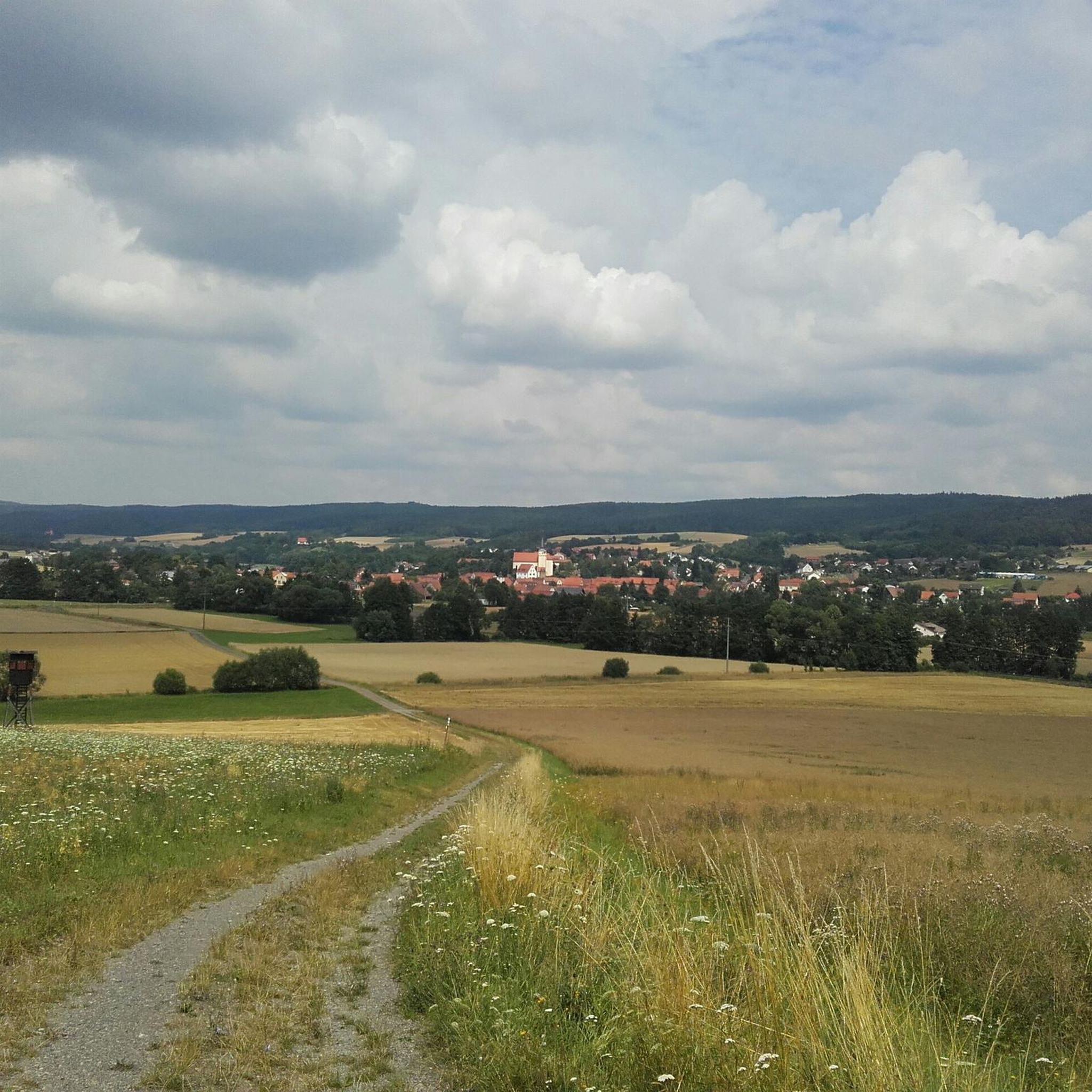
Mountain biking around Nordheim vor der Rhön offers an extensive network of trails within the Rhön Biosphere Reserve. The region is characterized by rolling hills, scenic valleys, and expansive views, providing diverse terrain for mountain bikers. Its landscape features steep slopes and winding trails, making it suitable for various skill levels. This area, known as the "Land of Open Distances," presents distinctive mountains and a mix of forest paths and open stretches.
Best mountain bike trails around Nordheim vor der…
Last updated: July 1, 2026
4.6
(35)
85
riders
Moderate mountain bike ride. Good fitness required. Suitable for all skill levels.
4.4
(7)
54
riders
45.9km
02:45
330m
320m
Moderate mountain bike ride. Good fitness required. Advanced riding skills necessary.

Sign up for free
4.6
(9)
24
riders
28.9km
02:12
560m
560m
Moderate mountain bike ride. Good fitness required. Suitable for all skill levels.
5.0
(2)
13
riders
43.4km
03:19
800m
800m
Moderate mountain bike ride. Good fitness required. Suitable for all skill levels.
4.3
(6)
9
riders
Easy mountain bike ride. Great for any fitness level. Suitable for all skill levels.
Get access to more routes and recommendations from other explorers.
Sign up for free
Already have an account?
Our route recommendations are based on thousands of hikes, rides, and runs completed by other people on komoot.
Start today with a free account
Your next adventure awaits.
Login or Signup
Tips from the Community

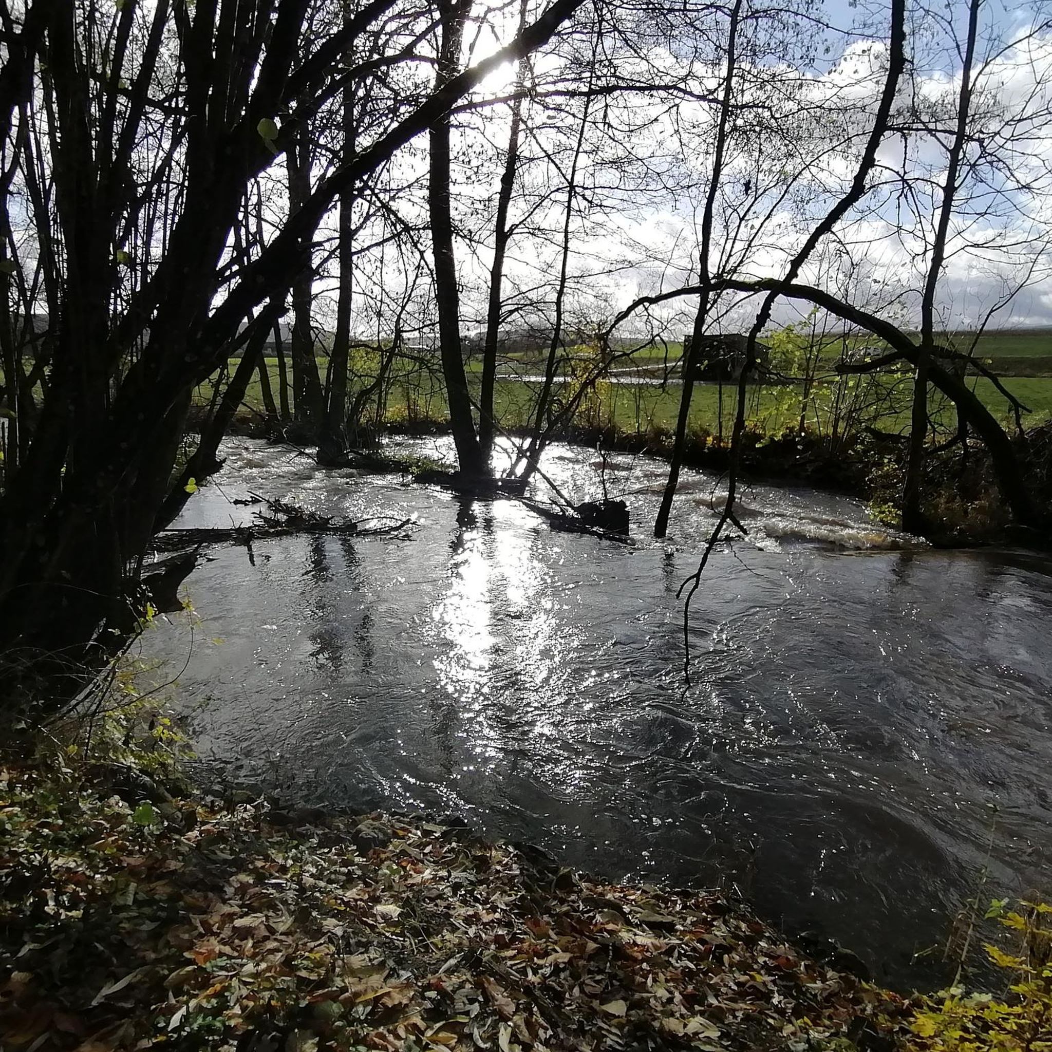
It's beautiful at the Streu. Great for a short relaxing walk
0
0


Bridge over the Els near Bastheim with historical Nepomuk figure
0
0

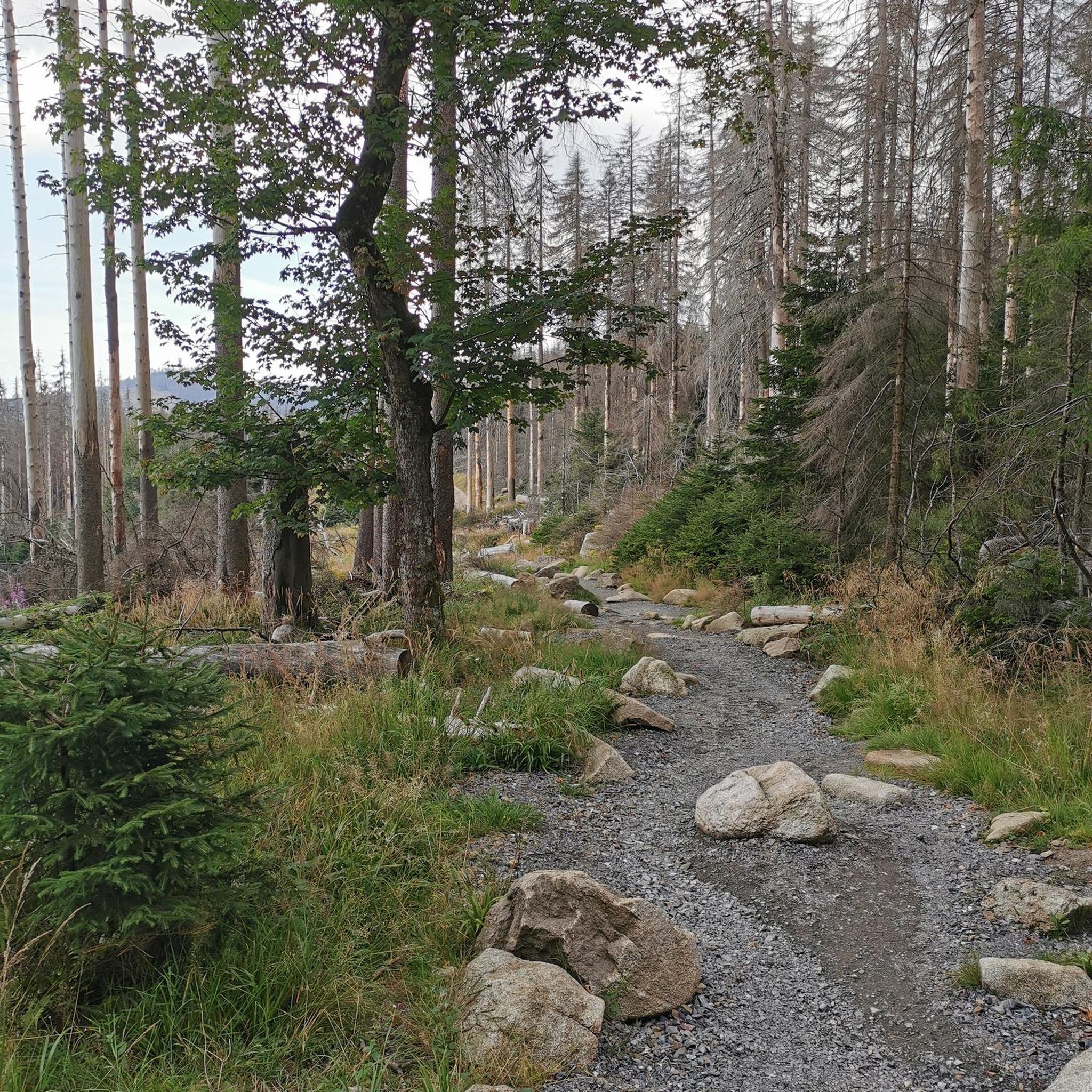
At 950 meters, the Wasserkuppe is the highest mountain in Hesse and the symbol of the Rhön Mountains. Up here, you can feel the freedom, as the Wasserkuppe is considered the cradle of gliding – pilots have been taking to the skies here for over 100 years. But it's not just aviators who enjoy it: In summer, you can hike or cycle across vast plateaus with magnificent views, while in winter, ski lifts, cross-country ski trails, and toboggan runs beckon. Around the summit, you'll find the Aviation Memorial, the Gliding Museum, and numerous places to stop for refreshments. The Wasserkuppe is located in the heart of the Hessian Rhön Nature Park, which, with its open highlands, beech forests, and species-rich meadows, is a paradise for nature lovers. Here, you can explore the unique landscape on premium hiking trails like the Hochrhöner or on nature trails. The nature park also boasts star parks, rare animals like the red kite and the wildcat, and botanical treasures like gentian and orchids.
2
0


Around our beautiful Franconian villages there are not only many hiking trails but also many small details that make our homeland a lovely place to be and that awaken our longing for "home" when we are far away.
0
0

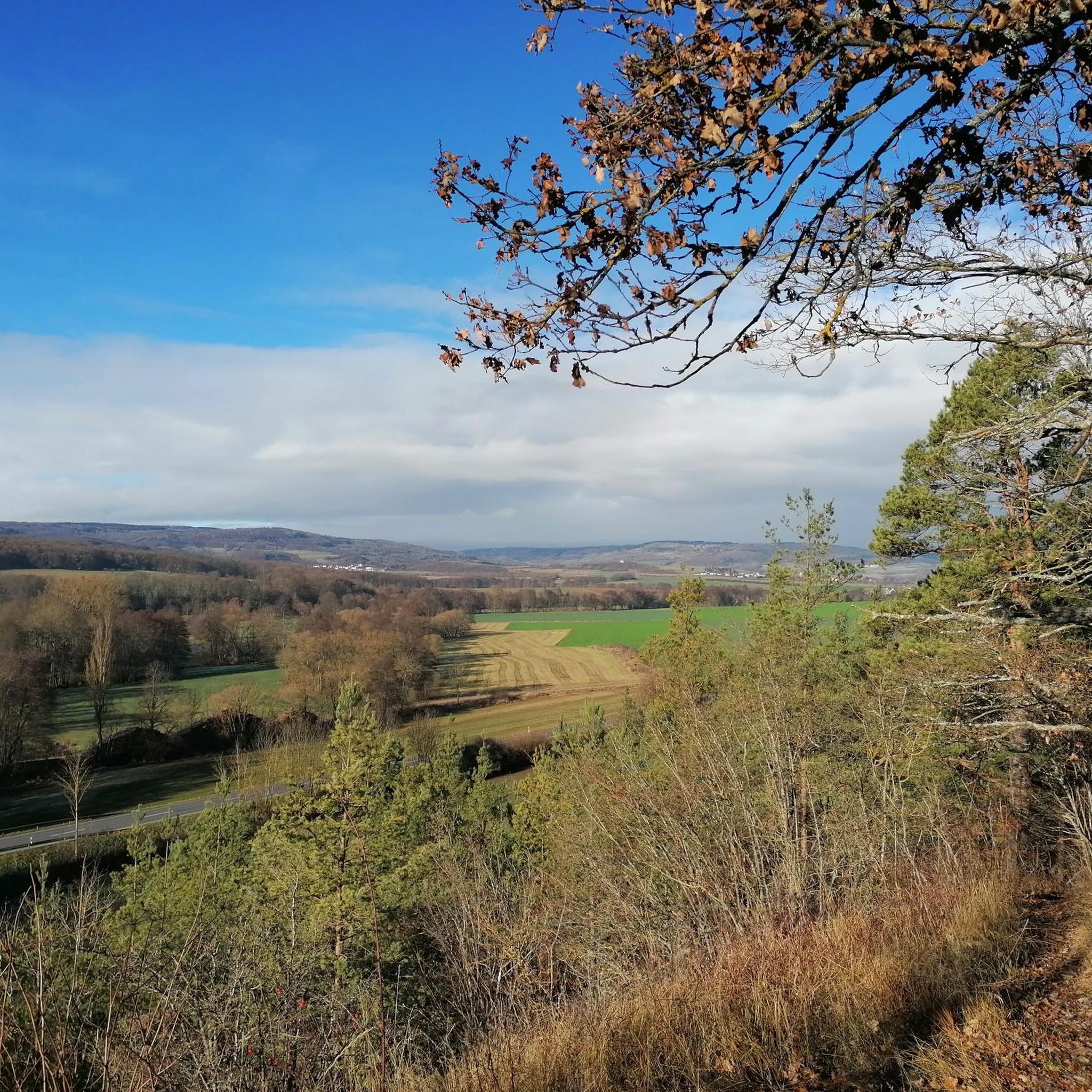
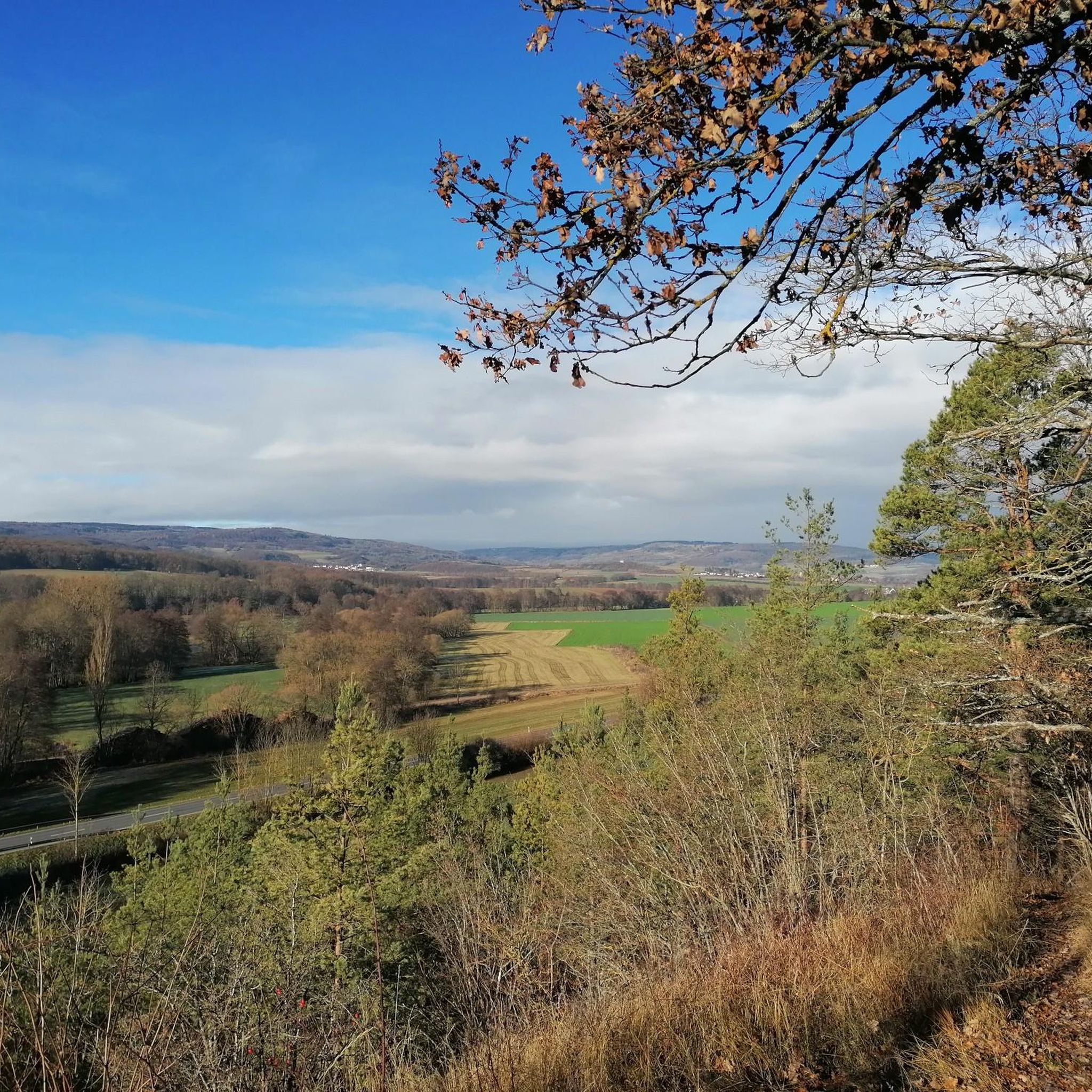
Good restaurant with a view.
4
0

Beautiful view towards Wasserkuppe
1
0
Frequently Asked Questions
How many mountain bike trails are available around Nordheim vor der Rhön?
There are over 220 mountain bike trails around Nordheim vor der Rhön, offering a wide range of options for different skill levels and preferences. The komoot community has explored these routes over 1800 times.
What kind of terrain can I expect on mountain bike trails near Nordheim vor der Rhön?
The region offers diverse terrain, characterized by rolling hills, scenic valleys, and expansive views within the Rhön Biosphere Reserve. You'll find everything from 'flowy' forest paths and winding trails to more demanding climbs and technical singletracks, catering to various riding styles.
Are there mountain bike trails suitable for beginners in Nordheim vor der Rhön?
Yes, there are 53 easy mountain bike trails around Nordheim vor der Rhön. An example of an easy route is the Kuhhalte Shelter – Deserted Village of Schmerbach loop from Mellrichstadter Forst, which is 12.7 miles (20.4 km) long and features gentle ascents.
Are there challenging mountain bike trails for experienced riders?
Yes, for experienced riders seeking a challenge, there are 14 difficult mountain bike trails in the area. These routes often feature steeper climbs and more technical descents, providing an exciting experience within the varied Rhön landscape.
Are there circular mountain bike routes in the area?
Many of the mountain bike routes around Nordheim vor der Rhön are circular, allowing you to start and end at the same point. For instance, the popular Marketplace Mellrichstadt – Streu River in Ostheim loop from Nordheim vor der Rhön is a 34.6 miles (55.6 km) loop.
Can I find mountain bike trails with scenic viewpoints?
Absolutely. The Rhön region is known as the 'Land of Open Distances' and offers breathtaking panoramic views. Many trails lead to elevated points where you can enjoy expansive vistas, especially beautiful during autumn. Consider exploring routes that pass by highlights like the Rother Kuppe Observation Tower for stunning outlooks.
Are there any mountain bike trails that pass by waterfalls?
Yes, you can find trails that lead past natural water features. The Thüringer Hütte – Eisgraben Stream loop from Stetten, for example, takes you through forested areas and along the Eisgraben Stream, which is known for its idyllic waterfall.
Are the mountain bike trails around Nordheim vor der Rhön well-signposted?
Yes, the Rhön region, including Nordheim vor der Rhön, is known for its well-signposted mountain bike trails. This makes navigation easier and allows riders to focus on enjoying the scenic routes.
Is it possible to rent mountain bikes or join guided tours in the region?
Yes, the Rhön region offers specialized services for mountain bikers. You can find options for bike rentals, including e-mountain bikes, and there are also guided e-mountain bike tours available. Some providers even offer mountain bike camps focusing on various skill levels.
What do other mountain bikers enjoy the most about mountain biking in Nordheim vor der Rhön?
The area is highly rated by the komoot community, with an average score of 4.6 stars from over 500 reviews. Riders frequently praise the diverse terrain, from easy forest paths to challenging climbs, and the expansive, picturesque views across the Rhön Biosphere Reserve.
What are some interesting natural attractions to see near the mountain bike trails?
Beyond the trails, you can explore several natural attractions. The region is part of the Rhön Biosphere Reserve, an International Dark Sky Park. Highlights include the Schwarzes Moor Nature Trail and various lakes like the Basalt Lake at the Stone House or Silbersee.
Are there any trails that offer views of the Wasserkuppe?
Yes, some routes provide distant views of the prominent Wasserkuppe. For example, the Ulster Spring – View of Wasserkuppe loop from Stetten is a moderate 26.7 miles (43.0 km) route that offers glimpses of this iconic Rhön peak.
Most popular routes around Nordheim vor der Rhön
Most popular attractions around Nordheim vor der Rhön

Get inspired with the komoot mobile app


Explore more
Browse the best MTB trails in other regions.
