The best MTB trails around Nordendorf
4.5
(49)
120
riders
26
rides
Mountain biking around Nordendorf offers diverse terrain characterized by rolling hills, dense forests, and picturesque fields. The region, situated in the district of Augsburg, provides a network of paths suitable for various skill levels. Prominent natural features include the Lech River, which offers scenic routes, and the Nordendorfer Forst, providing extensive trails through woodland. This landscape creates varied opportunities for mountain biking, from flowing single trails to more demanding sections.
Best mountain bike trails around Nordendorf
- The most popular mountain…
Last updated: October 14, 2026
4.7
(9)
15
riders
24.3km
01:49
200m
200m
Moderate mountain bike ride. Great for any fitness level. Advanced riding skills necessary.
5.0
(5)
19
riders
39.2km
02:52
210m
210m
Moderate mountain bike ride. Good fitness required. Suitable for all skill levels.

3.5
(6)
13
riders
56.0km
03:21
350m
350m
Moderate mountain bike ride. Good fitness required. Suitable for all skill levels.
5.0
(2)
8
riders
52.1km
04:04
560m
560m
Moderate mountain bike ride. Good fitness required. Advanced riding skills necessary.
4.0
(2)
6
riders
34.2km
01:57
100m
100m
Easy mountain bike ride. Great for any fitness level. Suitable for all skill levels.
Get access to more routes and recommendations from other explorers.
Already have an account?
Our route recommendations are based on thousands of hikes, rides, and runs completed by other people on komoot.
Start today with a free account
Your next adventure awaits.
Tips from the Community

Here, two significant rivers merge to form an impressive natural and landscape image, which impressively showcases the city's special geographical location. The confluence can be observed well from several points and offers an interesting insight into the region's river landscape.
2
0

The Schmutter is a roughly 96 km long tributary of the Danube in Bavarian Swabia, flowing predominantly northwards through a diverse cultural landscape. It originates in the Stauden region west of Siebnach before finally emptying into the Danube near Donauwörth. The name likely derives from a Germanic term meaning something like "the stream flowing through the moor." Today, the Schmutter, with its floodplains, weirs, and bridges, shapes many towns and villages along its course and is a characteristic waterway of the region. Flooding and flood protection are pressing issues. https://de.wikipedia.org/wiki/Schmutter Flooding Disaster in Swabia – The Current Situation in Nordendorf (2024) https://www.augsburg.tv/mediathek/video/hochwasserkatastrophe-in-schwaben-die-aktuelle-lage-in-nordendorf/
0
0

It's strictly private, so forget about shuffling in there.
0
0
with seating nearby
0
0

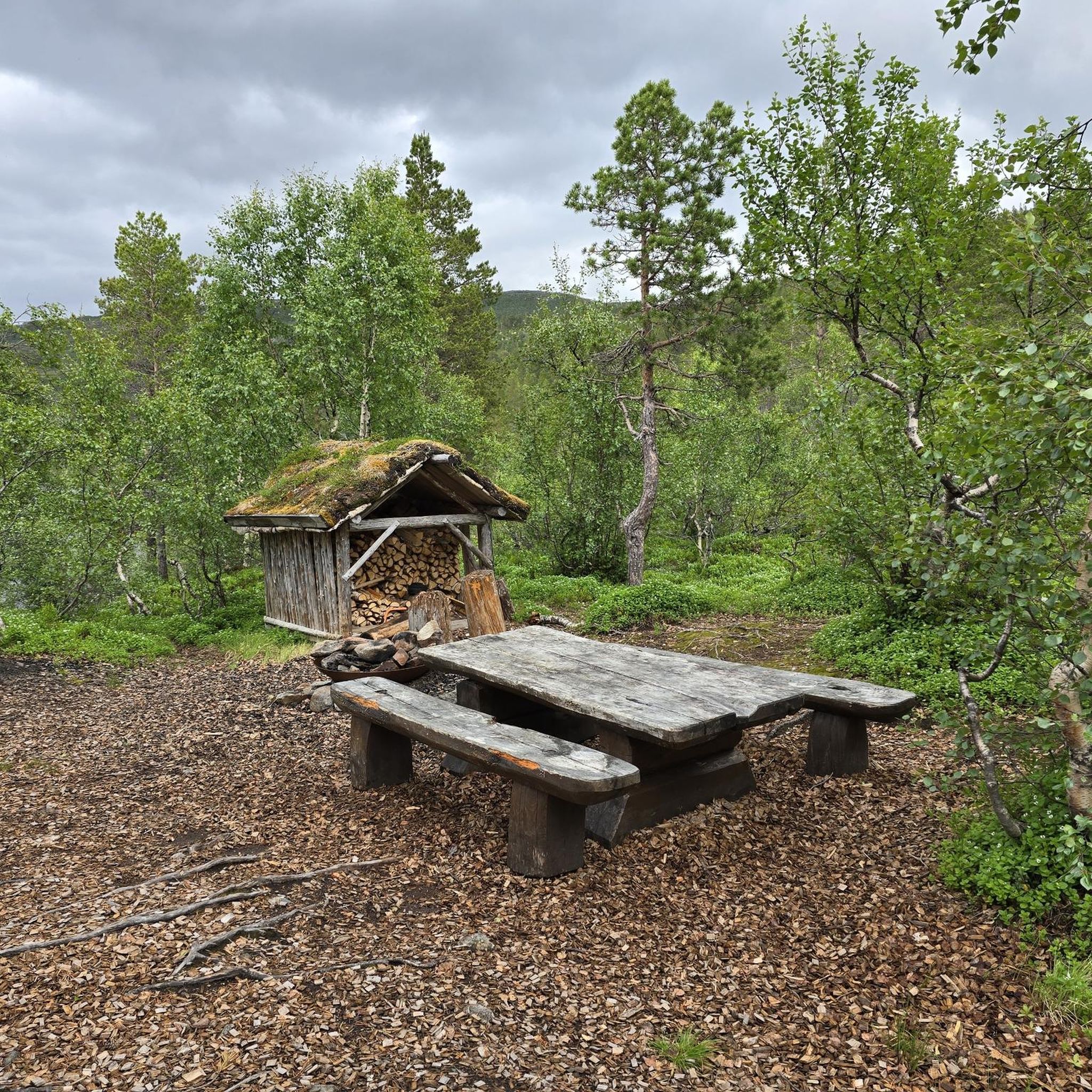
After the arduous climb, you can take a little break here.
1
0

The Lech is a right tributary of the Danube. The 256 km long river originates in Vorarlberg in the Hochtannberg region at the confluence of the Spullerbach and Formarinbach streams in the Tannläger valley. It flows through Tyrol and southern Bavaria, where it empties into the Danube. Shortly before the Austrian-German border, it joins the Vils river, forms the artificial Lechfall near Füssen, and crosses Swabia and Upper Bavaria on its way. The largest cities on the Lech are Landsberg and Augsburg; in this city, it receives its largest tributary, the Wertach. The river empties into the Danube near Marxheim. Source: Wikipedia
1
0
The Lech is a right tributary of the Danube. The 256 km long river originates in Vorarlberg in the Hochtannberg region at the confluence of the Spullerbach and Formarinbach streams in the Tannläger valley. It flows through Tyrol and southern Bavaria, where it empties into the Danube. Shortly before the Austrian-German border, it joins the Vils river, forms the artificial Lechfall near Füssen, and crosses Swabia and Upper Bavaria on its way. The largest cities on the Lech are Landsberg and Augsburg; in this city, it receives its largest tributary, the Wertach. The river empties into the Danube near Marxheim. Source: Wikipedia
1
0
The Lech is a right tributary of the Danube. The 256 km long river originates in Vorarlberg in the Hochtannberg region at the confluence of the Spullerbach and Formarinbach streams in the Tannläger valley. It flows through Tyrol and southern Bavaria, where it empties into the Danube. Shortly before the Austrian-German border, it joins the Vils river, forms the artificial Lechfall near Füssen, and crosses Swabia and Upper Bavaria on its way. The largest cities on the Lech are Landsberg and Augsburg; in this city, it receives its largest tributary, the Wertach. The river empties into the Danube near Marxheim. Source: Wikipedia
1
0
Frequently Asked Questions
What kind of terrain can I expect on mountain bike trails around Nordendorf?
The Nordendorf region offers diverse terrain, characterized by rolling hills, dense forests, and picturesque fields. You'll find a mix of flowing single trails and more demanding sections, often along the Lech River or through the Nordendorfer Forst.
Are there mountain bike trails suitable for beginners in Nordendorf?
Yes, Nordendorf offers trails suitable for various skill levels. While most of the 27 available routes are moderate, there are 3 easy trails perfect for beginners or those looking for a more relaxed ride.
When is the best time of year for mountain biking in Nordendorf?
The best seasons for mountain biking in Nordendorf are typically spring and autumn. During these times, temperatures are mild, and the natural scenery is vibrant, offering ideal conditions for outdoor activities.
Are there family-friendly mountain bike trails in Nordendorf?
Yes, the region's varied landscape includes paths suitable for family outings. While specific 'family-friendly' routes aren't explicitly categorized, the 3 easy trails available provide a good starting point for families looking to cycle together.
What natural features or landmarks can I see while mountain biking near Nordendorf?
You can explore several natural features and landmarks. The Lech River and Lech Canal offer scenic paths. For water-based recreation, the Baggersee Nordendorf is a natural lake, and you might pass the Monastery pond with school and educational garden or the Sand Bathing and Fishing Lake. The Nordendorfer Forst also provides extensive trails through woodlands.
Are there any historical sites or cultural attractions accessible by mountain bike around Nordendorf?
Yes, you can incorporate historical sites into your rides. Notable attractions include the Historic Hydropower Plant Bavaria, part of Augsburg's world cultural heritage. You might also pass castles like Fugger Castle Nordendorf or Markt Castle. Kloster Thierhaupten and Kloster Holzen are also historical sites that can be part of cycling tours, offering opportunities for rest and cultural exploration.
Are there any longer mountain bike routes with significant elevation gain around Nordendorf?
For a longer route with notable elevation gain, consider the Gumppenberg Chapel – Maria Elend Chapel loop from Nordendorf. This moderate 52.6 km trail features over 500 meters of elevation gain, offering a more challenging experience.
What do other mountain bikers enjoy the most about mountain biking in Nordendorf?
The area is highly rated by the komoot community, with an average score of 4.4 stars from over 30 reviews. Reviewers often praise the varied terrain, from rolling hills to dense forests, and the scenic paths along the Lech River and through the Nordendorfer Forst.
Can I bring my dog on mountain bike trails in Nordendorf?
Generally, dogs are welcome on trails in natural areas around Nordendorf, especially in forests like the Nordendorfer Forst. However, it's always recommended to keep your dog on a leash, particularly in nature reserves or areas with wildlife, and to be mindful of other trail users.
Are there any circular mountain bike routes available in Nordendorf?
Yes, many of the mountain bike routes around Nordendorf are designed as loops. For example, the Oberpeiching Power Plant – Mähdigraben loop from Nordendorf is a moderate 26 km circular route, offering a convenient way to explore the area without retracing your steps.
Is parking available at the trailheads in Nordendorf?
While specific trailhead parking information isn't always detailed, Nordendorf and its surrounding towns typically offer public parking options. It's advisable to check local signage upon arrival for designated parking areas near trail access points.
Can I reach mountain bike trails in Nordendorf using public transport?
Nordendorf is connected by public transport, making it possible to access the area. However, bringing a mountain bike on public transport can sometimes be restricted or require special tickets, especially during peak hours. It's best to check with local transport providers for their specific policies regarding bicycles.
Most popular routes around Nordendorf
Most popular attractions around Nordendorf

Get inspired with the komoot mobile app


Explore more
Browse the best MTB trails in other regions.
