The best road cycling routes around Niederwölz
4.5
(59)
1,387
riders
47
rides
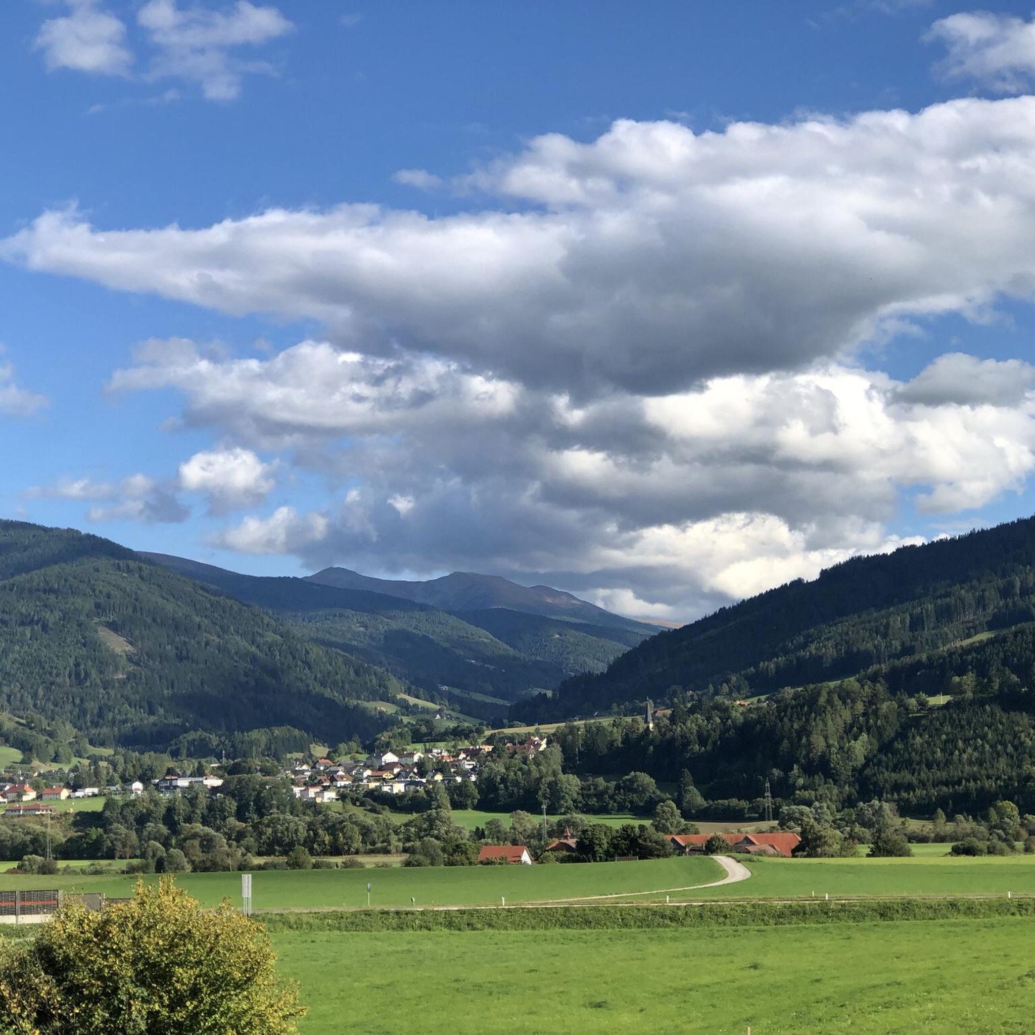
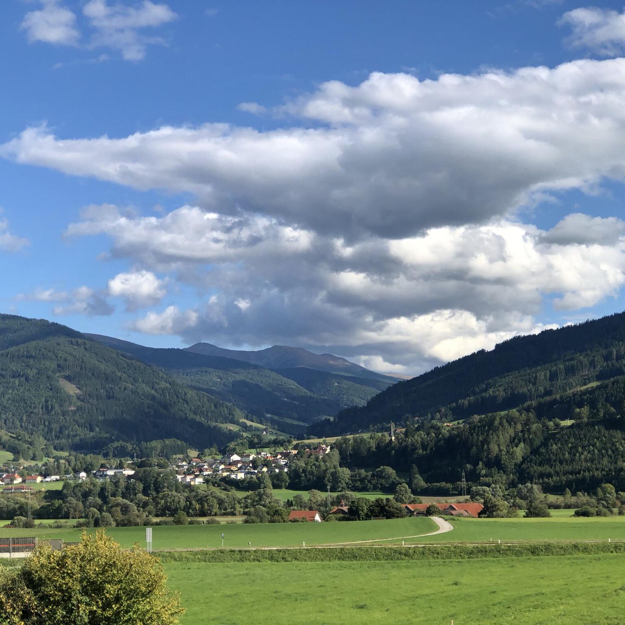
Road cycling routes around Niederwölz are set within Austria's Murau District of Styria, offering diverse landscapes for cyclists. The region features rolling hills, green meadows, and alpine forests, providing varied terrain for different cycling experiences. Routes along the Mur River offer flatter sections, while the surrounding areas include challenging climbs and significant elevation gains. This geographical composition makes Niederwölz suitable for a range of road cycling abilities.
Best road cycling routes around Niederwölz
- The most popular road cycling route is…
Last updated: October 12, 2026
4.7
(11)
153
riders
41.5km
01:55
420m
420m
Moderate road ride. Good fitness required. Mostly well-paved surfaces and easy to ride.
25
riders
121km
06:08
1,920m
1,920m
Hard road ride. Very good fitness required. Mostly well-paved surfaces and easy to ride.

24
riders
114km
05:27
1,350m
1,350m
Hard road ride. Very good fitness required. Mostly well-paved surfaces and easy to ride.
5.0
(1)
18
riders
29.5km
01:55
830m
830m
Moderate road ride. Good fitness required. Mostly well-paved surfaces and easy to ride.
3.5
(2)
19
riders
34.8km
01:36
320m
320m
Moderate road ride. Good fitness required. Mostly well-paved surfaces and easy to ride.
Get access to more routes and recommendations from other explorers.
Already have an account?
Our route recommendations are based on thousands of hikes, rides, and runs completed by other people on komoot.
Start today with a free account
Your next adventure awaits.
Tips from the Community


Mariensäule, Schillerplatz, Murau In the middle of Schillerplatz stands today the baroque votive group against the plague. In a pyramid-like rising composition, the front facing the church. The Mariensäule stands on a high pedestal on a hexagonal square bordered by a low, wrought-iron grille. On a round column stands the statue of St. Mary Immaculata. In the corners stand the six plague saints. The Mariensäule was not changed during the renovation work on Schillerplatz. However, the plague saints were re-erected and the wrought-iron grille was renovated. Text / Source: Murau, Raffaltplatz 10, 8850 Murau https://www.murau.gv.at/mariensaule.html
12
0

Place of power with a very long history
1
0


The monastery was founded in 1076 by the Carinthian Margrave Markwart von Eppenstein. His son, Duke Henry III of Carinthia (who is buried here in the founder's crypt), completed and completed the foundation of the monastery until his death in 1122, when the Eppenstein family died out. He endowed the convent with a rich endowment for the maintenance and cultivation of art and science. It is not known from which Benedictine mother monastery the first monks came. The first church in the 11th century was the "Church of Saint Lambert in the Forest", in the immediate vicinity of which the monastery was built before 1076. In the 12th century it was replaced by a Romanesque basilica, which was consecrated in 1160. It was almost the size of today's collegiate church. In 1157, the place of grace Mariazell in Upper Styria was founded by the Benedictines of St. Lambrecht and, after an interruption from 1949 to 1992, is now again looked after by St. Lambrecht.
1
0
The St. Lambrecht Abbey, officially the Benedictine Abbey of St. Lambrecht (Latin Abbatia Sancti Lamberti or Monasterii Sancti Lamberti), is a Benedictine abbey located at 1,028 meters above sea level in Sankt Lambrecht in the Austrian federal state of Styria. The name goes back to the monastery's patron saint, Saint Lambert.
1
0

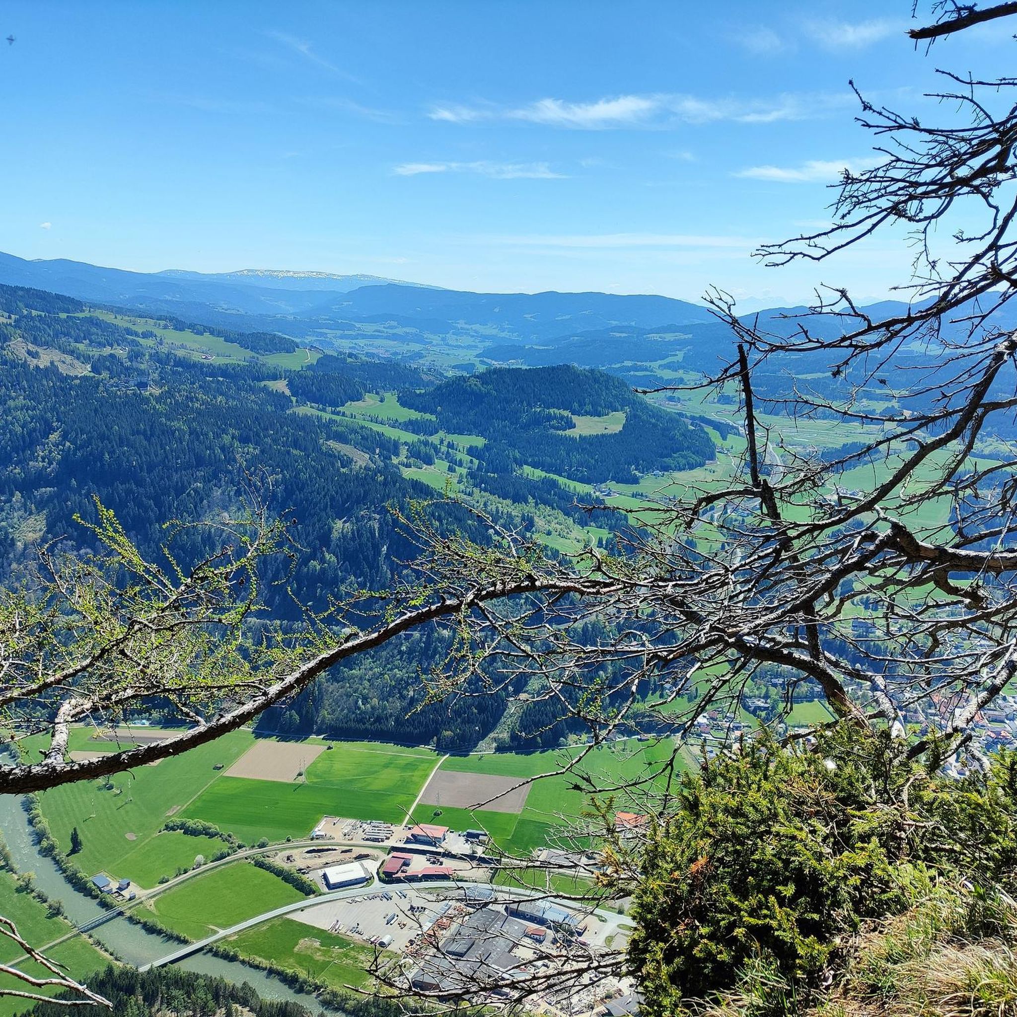
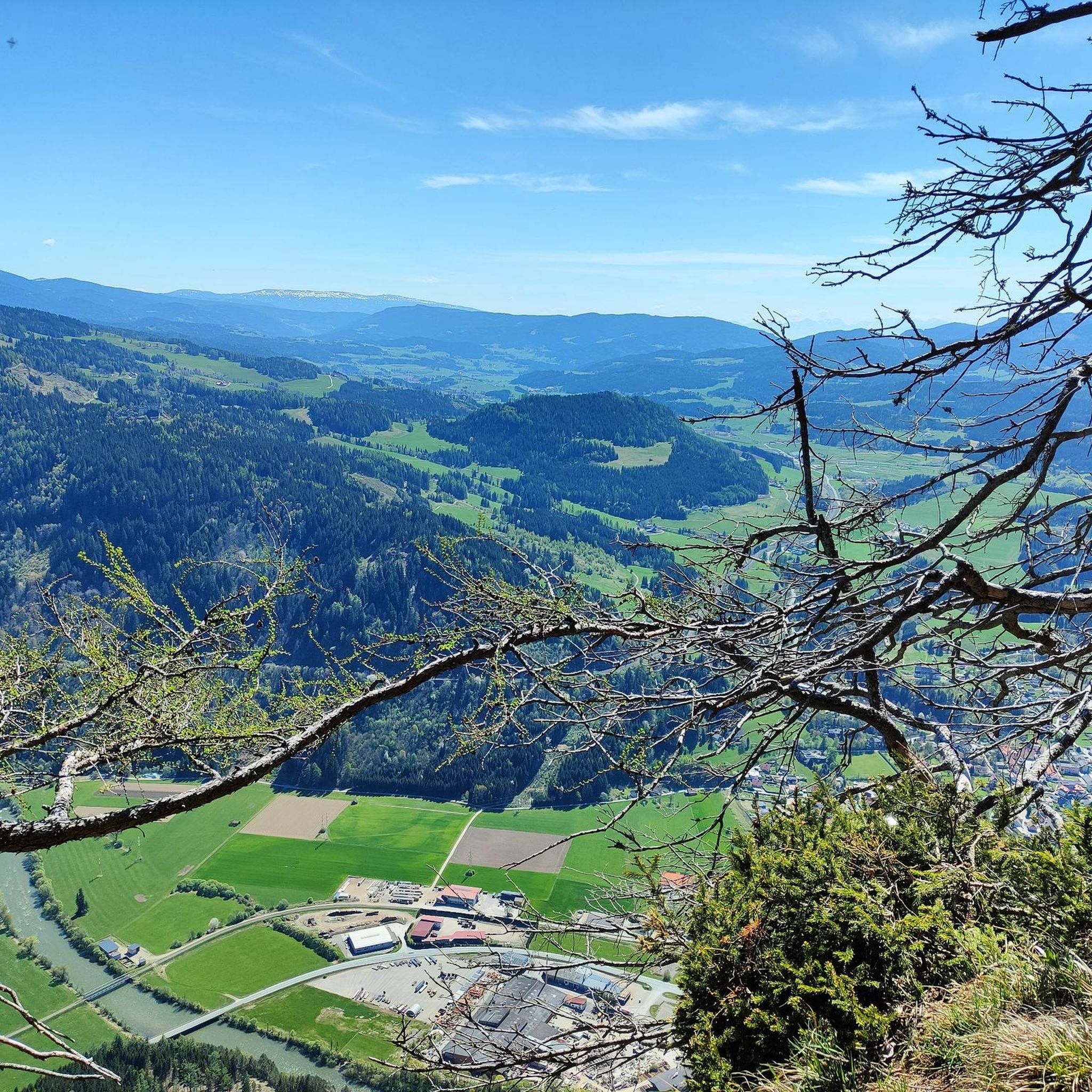
Here, far above the town of Murau, you can clearly see the complexity of the small town
1
0
Frequently Asked Questions
How many road cycling routes are available around Niederwölz?
There are over 50 road cycling routes around Niederwölz, offering a diverse range of experiences. These routes are highly rated by the komoot community, with an average score of 4.6 stars from over 45 reviews.
What is the best time of year for road cycling in Niederwölz?
The best seasons for road cycling in Niederwölz are generally spring and summer, when mild temperatures and vibrant nature enhance the experience. Autumn also offers delightful rides amidst warm foliage colors, providing a beautiful backdrop for your tours.
Are there challenging road cycling routes for experienced cyclists?
Yes, Niederwölz offers several challenging routes with significant elevation gains. For instance, the Mariensäule Murau – Church tower in the lake loop from Frojach is a difficult 46.3-mile (74.4 km) path featuring substantial climbs, reaching over 1,500 meters of elevation gain. The Kreischberg Pass also provides breathtaking mountain roads for those seeking strenuous workouts and panoramic vistas.
Are there easier or beginner-friendly road cycling options in the region?
Absolutely. While the region has challenging climbs, routes along the Mur River offer flatter sections suitable for more leisurely rides. There are 7 easy routes available, and many moderate options like the Mur Bridge Lind–Scheifling – Römerstraße Pedestrian Bridge loop from Fresen, which covers 34.9 km with a moderate elevation gain, providing a pleasant experience for beginners or those looking for a less strenuous ride.
What kind of scenery can I expect on road cycling routes around Niederwölz?
Road cycling routes around Niederwölz traverse diverse landscapes, including rolling hills, green meadows, and alpine forests. You'll find routes along the scenic Mur River, and many paths offer stunning panoramic views due to the mountainous character of the region, with the Wölzer Tauern mountains providing an impressive backdrop.
Are there any notable landmarks or attractions along the cycling routes?
Yes, the region is rich in natural beauty and historical sites. You might encounter historical castles such as Steinschloss Castle Ruins or Frauenburg Castle Ruins. Natural attractions like the enchanting Schobersberg Forest or the unique Dürnberg Moor are also nearby, offering additional points of interest to explore.
Are there any circular road cycling routes available?
Many routes in the Niederwölz area are designed as loops, allowing you to start and end at the same point. An example is the Mur Cycle Path — Saurau section – Mariensäule Murau loop from Frojach, a 41.8 km moderate ride along the Mur River. Another option is the longer Tamsweg Market Square – Madling Gorge loop from Niederwölz, which is a difficult 114.1 km trail.
What do other road cyclists enjoy most about road cycling in Niederwölz?
The area is highly rated by the komoot community, with an average score of 4.6 stars. Reviewers often praise the varied terrain, which caters to different skill levels, from leisurely rides along the Mur River to challenging climbs with spectacular views. The scenic beauty of the rolling hills, green meadows, and alpine forests is also frequently highlighted.
Are there options for long-distance road cycling routes?
Yes, for those seeking longer rides, Niederwölz offers routes that extend over significant distances. The Tamsweg Market Square – Madling Gorge loop from Niederwölz is a substantial 114.1 km trail, providing a full day's ride through varied landscapes and offering a challenging long-distance experience.
Are there any lakes or water features to see along the routes?
While cycling, you'll often ride alongside the Mur River, a significant natural feature of the region. Additionally, there are several beautiful lakes nearby, such as Podoler Teich and Furtnerteich Lake, which can be explored as part of or near your cycling adventures.
What are the typical elevation profiles for road cycling in Niederwölz?
The elevation profiles vary significantly. Routes along the Mur River tend to be flatter with gentle ascents, while others, particularly those venturing into the surrounding hills and towards the Wölzer Tauern mountains, feature substantial climbs. You can expect elevation gains ranging from a few hundred meters on moderate routes to over 1,500 meters on more difficult trails like the Mariensäule Murau – Church tower in the lake loop from Frojach.
Most popular attractions around Niederwölz

Get inspired with the komoot mobile app


Explore more
Browse the best Road cycling routes in other regions.
