The best road cycling routes around Niederstaufenbach
4.6
(150)
2,496
riders
162
rides
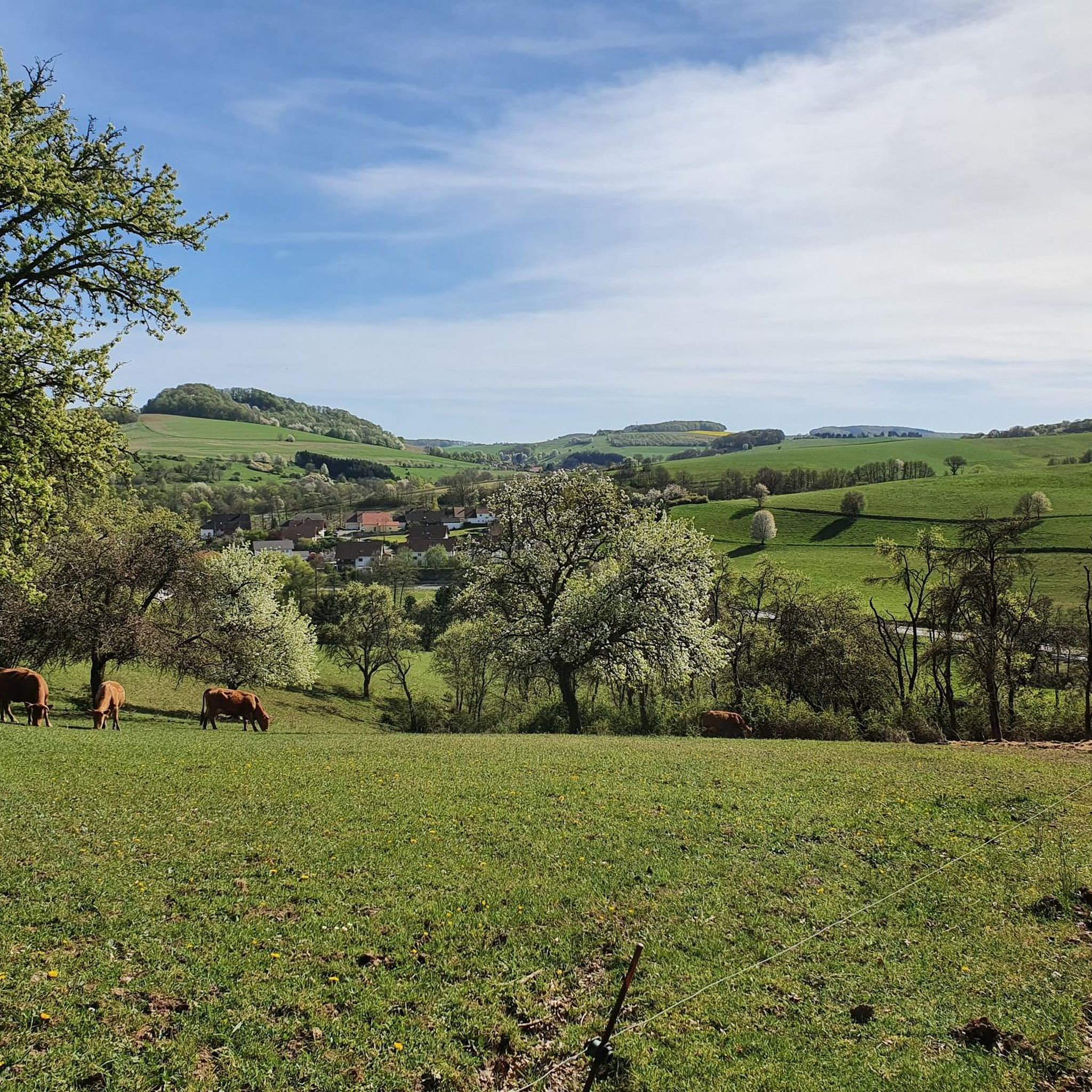
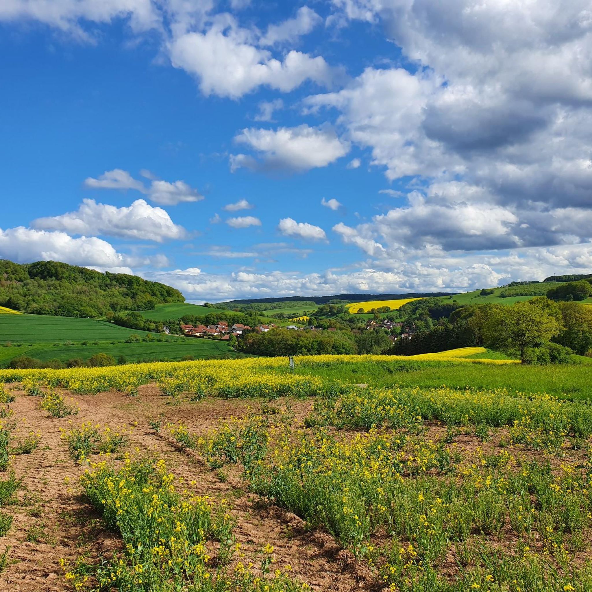
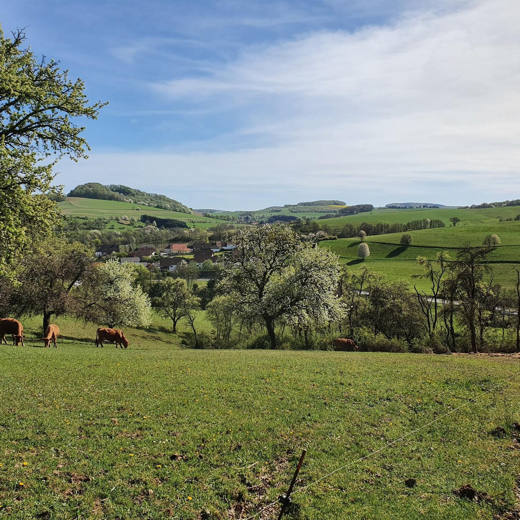
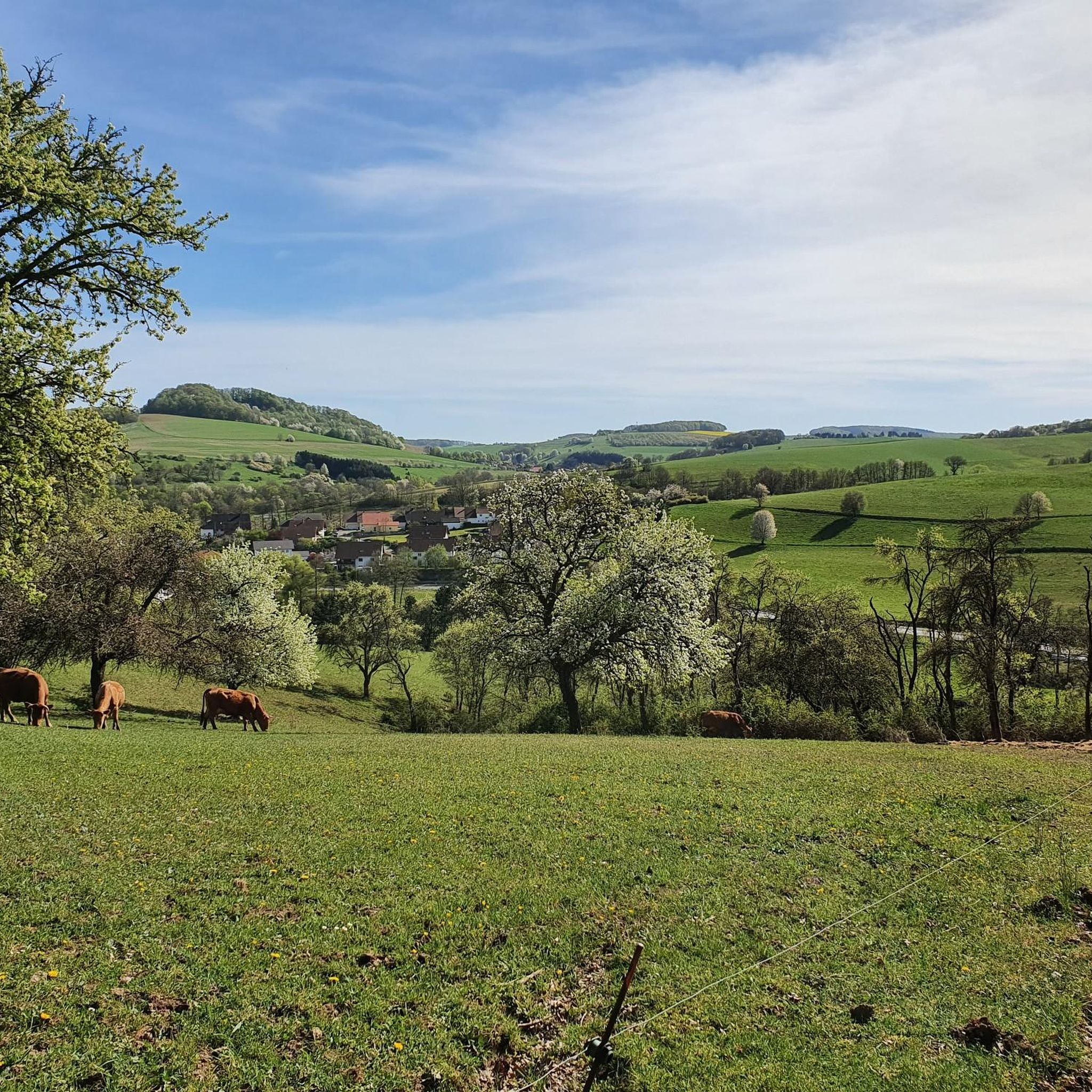
Road cycling around Niederstaufenbach offers diverse landscapes in the Western Palatinate region of Germany. The village is situated in a broad hollow along the Reichenbach river, nestled between the Walbersberg and Krämel mountains. Elevations in the surrounding terrain vary from approximately 240m to 400m above sea level, providing conditions for both gentle valley rides and more challenging ascents. This varied topography includes stream valleys, former railway lines, and sections crossing the Northern Palatinate mountain range.
Best road cycling routes around…
Last updated: July 8, 2026
5.0
(4)
59
riders
36.7km
01:33
250m
250m
Easy road ride. Great for any fitness level. Mostly well-paved surfaces and easy to ride.
21
riders
19.7km
00:54
140m
150m
Moderate road ride. Great for any fitness level. Some segments of this route may be unpaved and difficult to ride.

Sign up for free
11
riders
Easy road ride. Great for any fitness level. Mostly well-paved surfaces and easy to ride.
8
riders
Moderate road ride. Good fitness required. Mostly well-paved surfaces and easy to ride.
9
riders
26.2km
01:25
170m
170m
Moderate road ride. Great for any fitness level. Some segments of this route may be unpaved and difficult to ride.
Get access to more routes and recommendations from other explorers.
Sign up for free
Already have an account?
Our route recommendations are based on thousands of hikes, rides, and runs completed by other people on komoot.
Start today with a free account
Your next adventure awaits.
Login or Signup

Tips from the Community

Since I know what I'm talking about, I've reported it. Nonsense facts and 2 places thrown together... plus duplicate, the main thing is to have created something here....
0
0

the parts look nice
0
0
nicely done that part
0
0
very good bike path
0
0
Beautiful cycle path along the sculpture
0
0

Old steam locomotive that is now exhibited as a tourist attraction in Otterbach
2
0
A historical highlight with a miniature train, railway romance, and home-brewed Bachbahn beer—ideal for an enjoyable break on the old railway embankment.
2
0

Sculpture Pulpito/Pulpit by Maria Claudia Farina from 2011
0
0
Frequently Asked Questions
How many road cycling routes are available around Niederstaufenbach?
There are over 160 road cycling routes around Niederstaufenbach, offering a wide range of options for different skill levels. You'll find everything from easy valley rides to more challenging ascents.
What kind of terrain can I expect on road cycling routes in Niederstaufenbach?
The region offers diverse terrain, from gentle valley rides along rivers like the Reichenbach to more challenging ascents into the Northern Palatinate mountain range. You'll encounter stream valleys, former railway lines, and rolling hills, with elevations varying from approximately 240m to 400m above sea level.
Are there road cycling routes suitable for beginners or families?
Yes, Niederstaufenbach offers several easy routes perfect for beginners and families. For example, the New Cycle Path loop from Reichenbach is an easy 22.8-mile trail that follows a dedicated cycle path through the Reichenbach valley, ideal for a relaxed ride.
Are there more challenging routes with significant elevation gain for advanced cyclists?
Absolutely. The area west of Niederstaufenbach climbs steeply towards the Potzberg hill, offering routes with significant elevation gain. The region includes 41 difficult routes, providing ample challenge for advanced cyclists looking for ascents and varied terrain.
Can I find long-distance road cycling routes in the Niederstaufenbach region?
Yes, the broader Rhineland-Palatinate region, where Niederstaufenbach is located, features well-signed long-distance routes. These include the Palatinate Country Cycle Route, Barbarossa Cycle Route, and Glan-Blies Cycle Route, which traverse diverse landscapes and often cover distances around 70 km.
Are there circular road cycling tours available in Niederstaufenbach?
Many of the road cycling routes around Niederstaufenbach are designed as circular tours, allowing you to start and end at the same point. Examples include the Bachbahn Cutting – Sculpture "Pulpito/Pulpit" loop from Reichenbach and the Altenglan Draisine Station – Reichenbachtal Cycle Path loop from Friedelhausen.
What scenic viewpoints can I discover along road cycling routes?
The region offers several scenic viewpoints. You can find stunning vistas from the Selberg Tower, the Reuschbacher Heights Viewpoint, and the View from Bermeshöhe. These spots provide excellent opportunities to take in the diverse landscape.
Are there any historical sites or landmarks to see while cycling?
Yes, the area is rich in history. You can cycle past charming small villages, historical castles like the Ruins of Neu-Wolfstein Castle, and the early 14th-century Wolfskirche (Wolf Church). The Historic Old Town of Wolfstein, with its restored half-timbered houses, is also a captivating stop.
Are there places to stop for a break or refreshment along the routes?
Many routes pass through charming villages where food and lodging are often available. For a pleasant stop, consider visiting the Seewoog Beer Garden by the lake, or the Laufhauser Weiher (Poggrech Weiher) and grill hut.
What natural features can I explore near the cycling routes?
Beyond the cycling paths, you can explore natural features such as the Reichenbach river, the tranquil Blaue Halde Spring and Pond, and the Erdesbach Weir on the Glan. The Potzberg and Königsberg mountains also offer impressive natural landscapes.
Is there parking available for road cyclists in Niederstaufenbach?
Yes, parking is generally available in and around Niederstaufenbach, particularly at trailheads or designated parking areas in the villages. Specific parking information can often be found on individual route descriptions on komoot.
What is the best time of year for road cycling in Niederstaufenbach?
Spring through autumn typically offers the best conditions for road cycling in Niederstaufenbach, with milder temperatures and vibrant scenery. Summer can be warm but is also popular, while late spring and early autumn provide comfortable temperatures and beautiful foliage.
What do other road cyclists say about the routes in Niederstaufenbach?
The road cycling routes in Niederstaufenbach are highly rated by the komoot community, with an average score of 4.6 stars from over 130 reviews. Cyclists often praise the diverse landscapes, well-maintained paths, and the variety of routes catering to different fitness levels.
Most popular routes around Niederstaufenbach
Most popular attractions around Niederstaufenbach

Get inspired with the komoot mobile app


Explore more
Browse the best Road cycling routes in other regions.
