The best walks and hikes around Niederfrohna
4.6
(11884)
41,941
hikers
20
hikes
Hiking around Niederfrohna, a municipality in Saxony, Germany, offers diverse landscapes for various skill levels. The region is characterized by accessible trails, surrounded by forests, and features the Zschopau river. Trails range from easy walks to more moderate routes, with some involving elevation gains. This area provides a mix of natural beauty and historical sites for outdoor exploration.
Best hiking trails around Niederfrohna
- The most popular hiking route is Town Map of Mühlau – Sunset Over Niederfrohna loop from Niederfrohna…
Last updated: June 26, 2026
5.0
(3)
25
hikers
6.67km
01:46
60m
60m
Easy hike. Great for any fitness level. Easily-accessible paths. Suitable for all skill levels.
4.5
(4)
12
hikers
Easy hike. Great for any fitness level. Easily-accessible paths. Suitable for all skill levels.

Sign up for free
5.0
(1)
11
hikers
Moderate hike. Good fitness required. Easily-accessible paths. Suitable for all skill levels.
5.0
(1)
13
hikers
Moderate hike. Good fitness required. Easily-accessible paths. Suitable for all skill levels.
5.0
(3)
12
hikers
Easy hike. Great for any fitness level. Easily-accessible paths. Suitable for all skill levels.
Get access to more routes and recommendations from other explorers.
Sign up for free
Already have an account?
Our route recommendations are based on thousands of hikes, rides, and runs completed by other people on komoot.
Start today with a free account
Your next adventure awaits.
Login or Signup
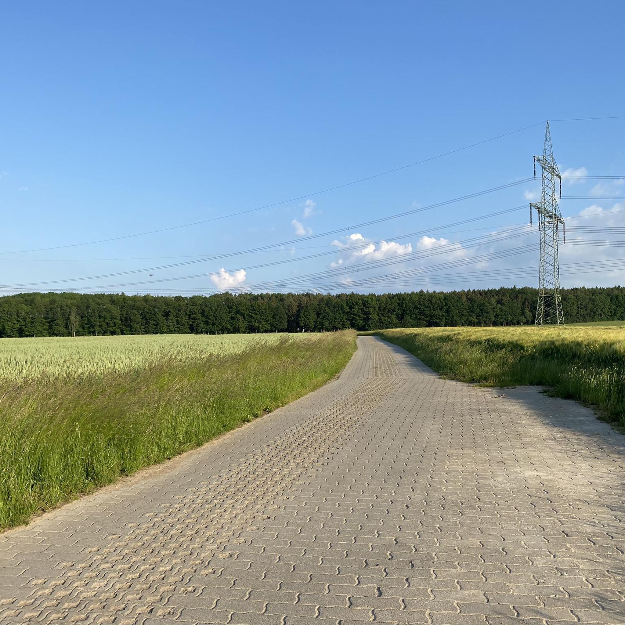
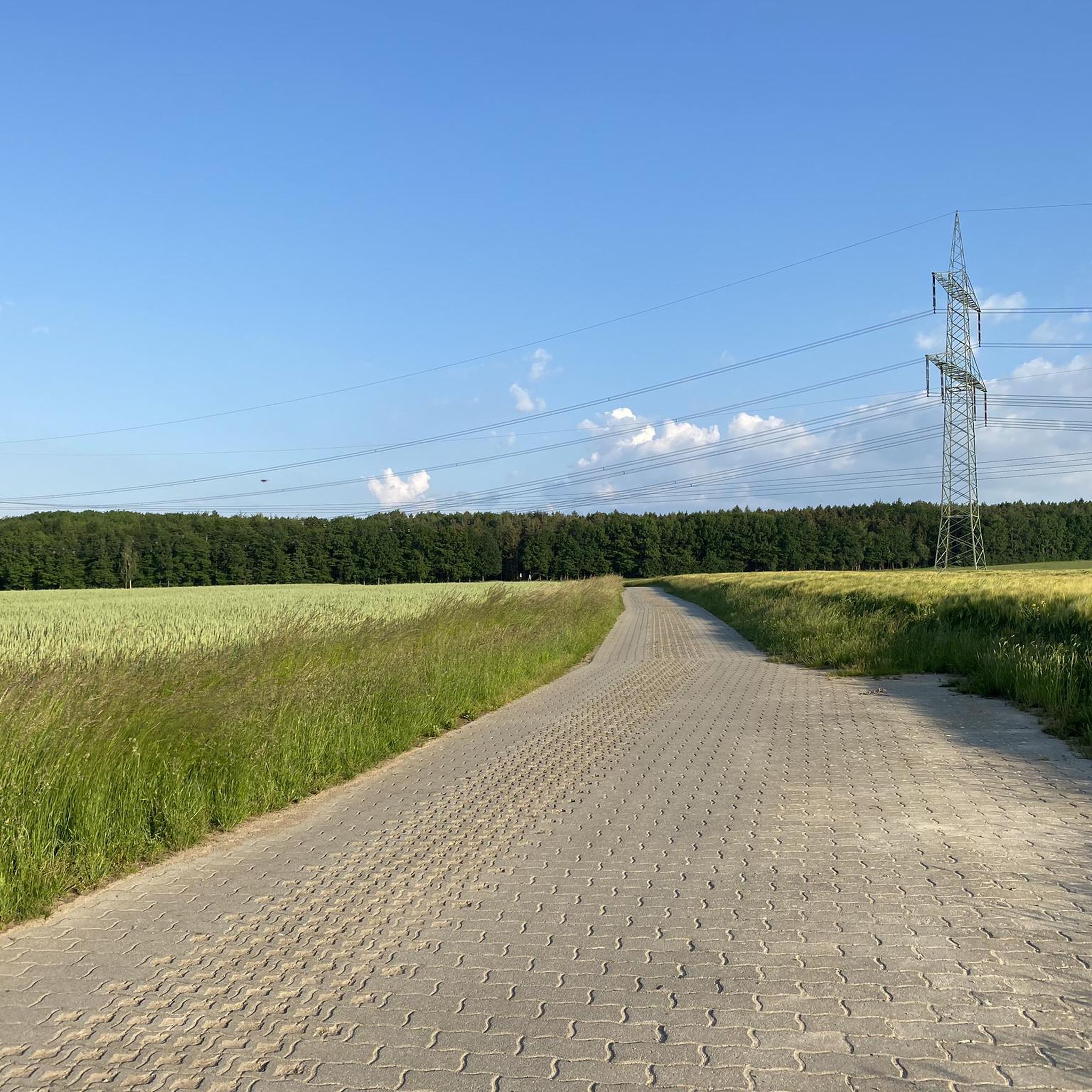
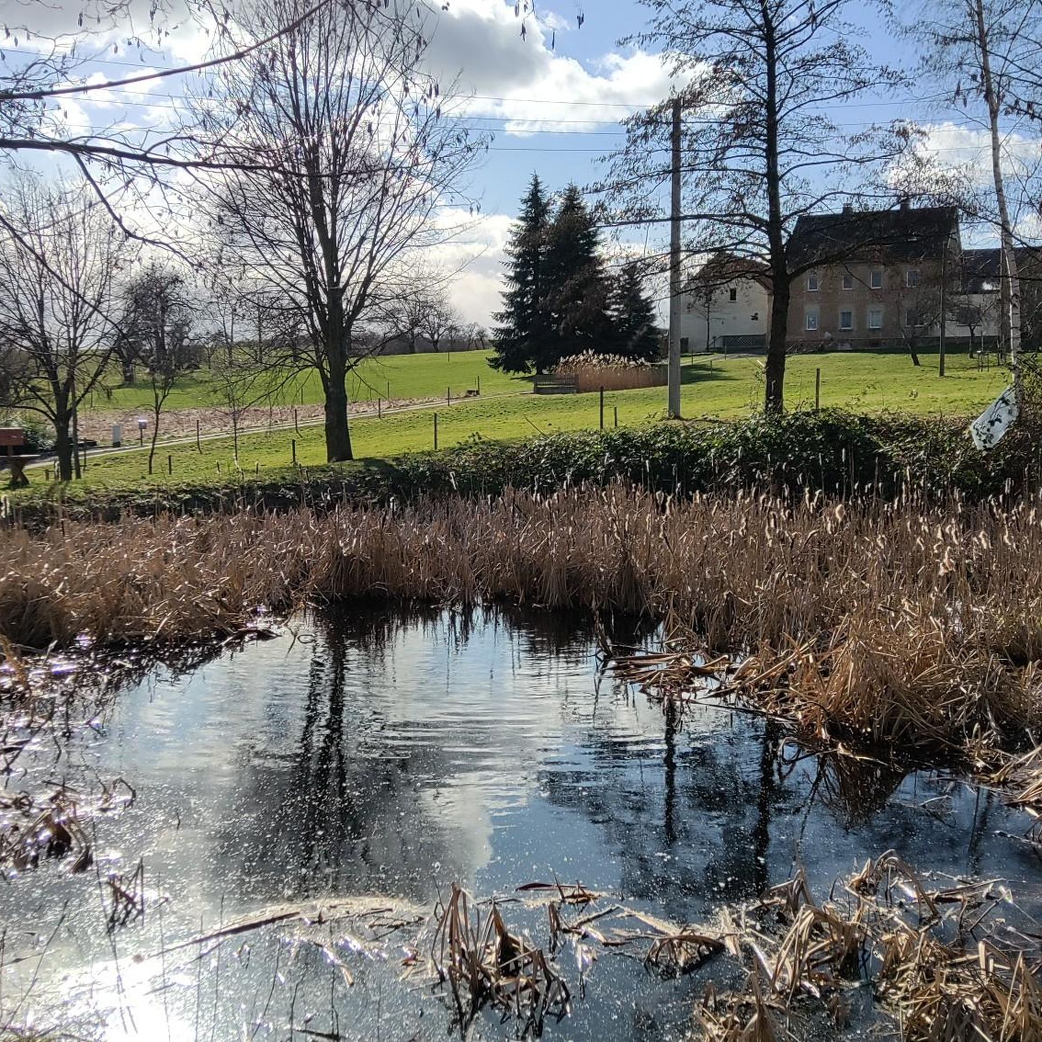
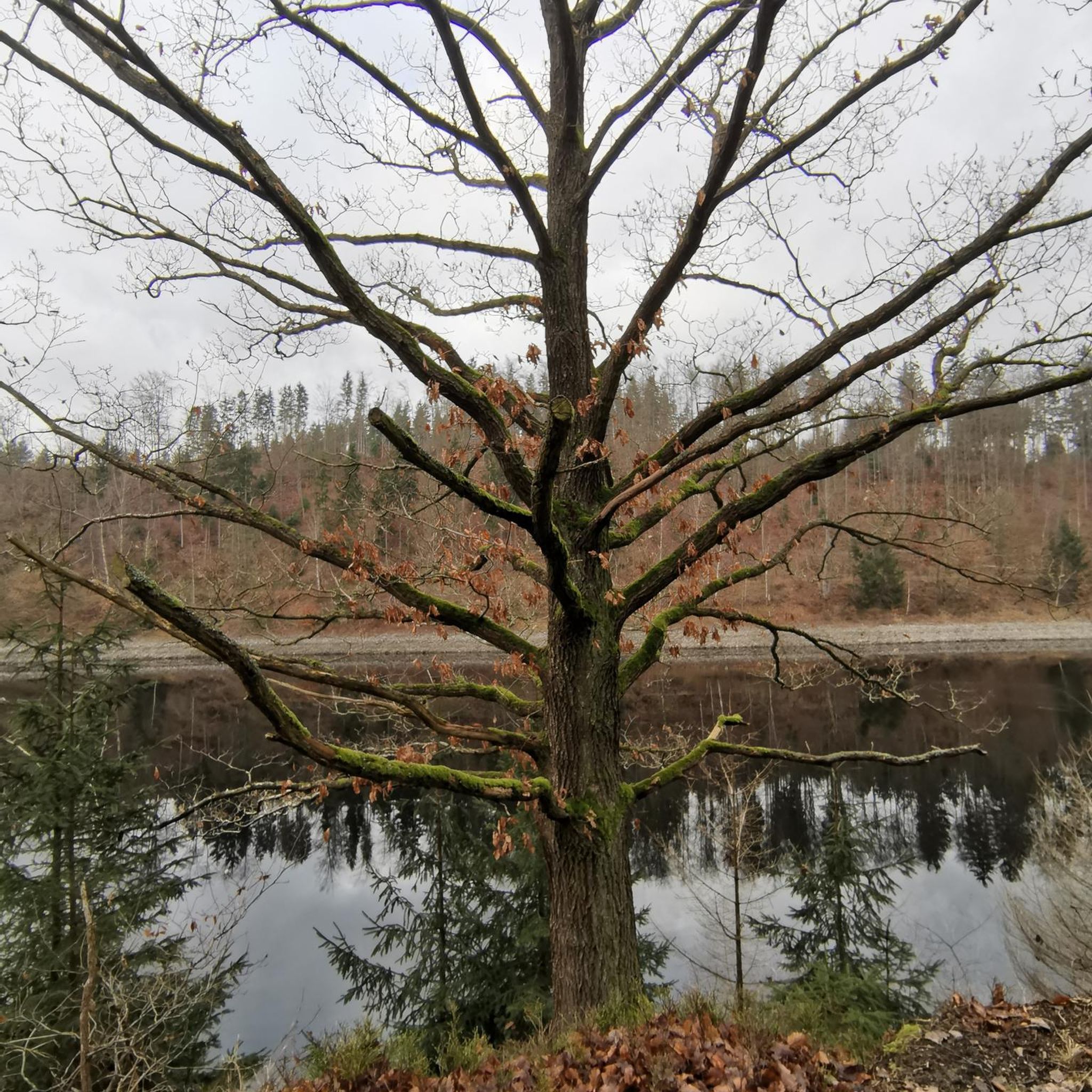
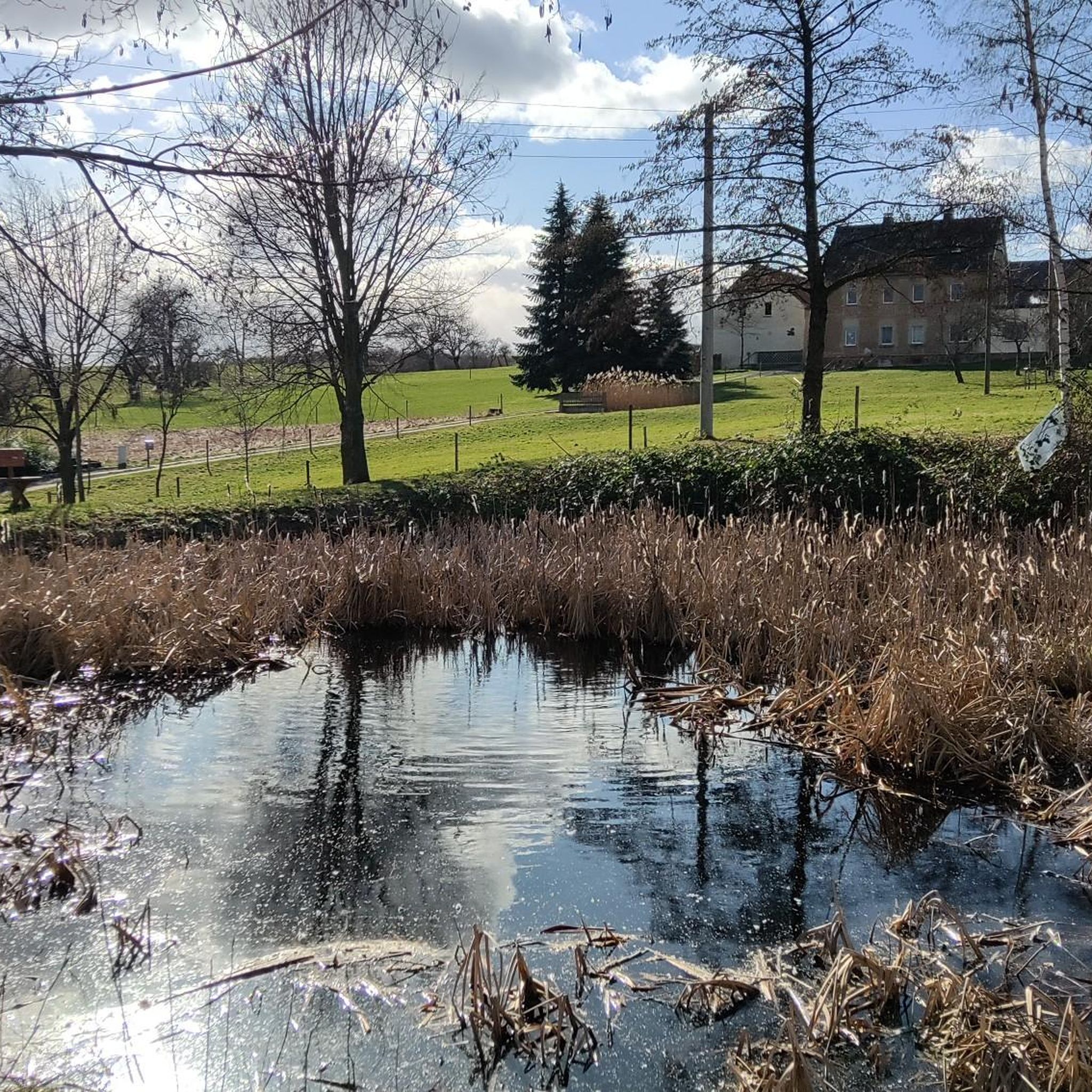
Tips from the Community

oh yes, a really beautiful moment
0
0

Simply a great place to take a break! Get some fresh air and soak up the nature.
0
0
This is the first time I have noticed this in all the years of my "Limbacherschaft" here
0
0
a really nice place to rest
0
0
what you can't discover here ;-)
0
1

More information can be found here https://de.wikipedia.org/wiki/Limbach-Oberfrohna
1
0
Frequently Asked Questions
How many hiking trails are available around Niederfrohna?
There are nearly 20 hiking trails around Niederfrohna, offering a variety of options for different skill levels. Most of these are easy to moderate, with no difficult routes.
What are the typical difficulty levels for hiking in Niederfrohna?
The hiking trails in Niederfrohna are primarily easy to moderate. You'll find 12 easy routes and 6 moderate routes, making the area accessible for most hikers. There are no difficult trails listed.
Are there any family-friendly hiking options in Niederfrohna?
Yes, Niederfrohna offers several family-friendly hiking options, as most trails are rated easy. These routes often feature accessible paths through forests and along the Zschopau river, suitable for a leisurely outing with children. An example of an easy loop is the Knaumühlenbad Nature Reserve – Rest Area at Knauteich loop.
What kind of landscapes can I expect to see while hiking in Niederfrohna?
Hiking in Niederfrohna will take you through diverse landscapes, primarily characterized by picturesque forests and the scenic Zschopau river. The region is part of Saxony, known for its well-developed trails that showcase natural beauty alongside historical sites like castles and vineyards.
Are there any circular hiking routes in Niederfrohna?
Yes, many of the trails around Niederfrohna are designed as loops, allowing you to start and end at the same point. A popular example is the Town Map of Mühlau – Sunset Over Niederfrohna loop from Niederfrohna, which offers views over the local landscape.
What are some interesting landmarks or attractions to see near the hiking trails?
Beyond the natural beauty, Niederfrohna and its vicinity offer cultural and historical attractions. You can explore Niederfrohna Castle and the Church of St. Afra. For natural viewpoints, consider visiting the Maria Josepha Tower (Totenstein) Observation Tower or enjoying the view over the Altenburg and Leipzig regions from Langenberger Höhe.
What is the best time of year to go hiking in Niederfrohna?
The area around Niederfrohna is appealing for hiking throughout much of the year. The forests provide a beautiful backdrop in spring and autumn, while the Zschopau river offers pleasant conditions in summer. Saxony, in general, is known as a hiking paradise, suggesting good conditions across multiple seasons.
What do other hikers enjoy most about hiking in Niederfrohna?
The hiking experience in Niederfrohna is highly rated by the komoot community, with an average score of 4.6 stars from over 4000 reviews. Hikers often praise the accessible trails, the mix of natural beauty and historical points of interest, and the varied terrain that caters to different ability levels.
Are dogs allowed on the hiking trails in Niederfrohna?
While specific regulations for dogs on every trail are not detailed, generally, dogs are welcome on hiking trails in Saxony, provided they are kept on a leash and owners clean up after them. It's always a good idea to check local signage for any specific restrictions in nature reserves or protected areas.
Are there any longer or more challenging routes for experienced hikers?
While there are no 'difficult' routes, more experienced hikers can find moderate trails that offer a bit more challenge. For example, the Rittergut Niederfrohna – Culverts and Drainage Tunnels loop is a moderate 4.9-mile trail that takes about 2 hours 6 minutes, offering varied terrain. Another moderate option is the Oberwald School Forest – Rittergut Niederfrohna loop, which is about 8 km long.
Is public transport available to reach the hiking trailheads in Niederfrohna?
Niederfrohna is a municipality in the Zwickau district, and while specific public transport links to every trailhead are not detailed, the region generally has accessible infrastructure. It's advisable to check local bus schedules or regional train connections to nearby towns like Limbach-Oberfrohna, which often serve as starting points for routes.
Are there places to eat or drink near the hiking trails in Niederfrohna?
Niederfrohna and its surrounding villages offer local amenities. While specific cafes or restaurants directly on every trail are not guaranteed, you can typically find places to eat or drink in the main village centers or nearby towns after your hike.
Most popular routes around Niederfrohna
Most popular attractions around Niederfrohna

Get inspired with the komoot mobile app


Explore more
Browse the best Hikes in other regions.
