The best road cycling routes around Moers
4.3
(175)
1,991
riders
169
rides
Road cycling around Moers is characterized by its predominantly flat terrain, making it suitable for various skill levels. The region is defined by its proximity to the River Rhine, offering scenic dike paths and routes through a cultural landscape of meadows, fields, and forests. Numerous water bodies, including ponds and lakes, are integrated into the cycling network, providing varied scenery. The gentle elevation gains across the area allow for extended rides without significant climbs.
Best road cycling routes around Moers
- The most popular road cycling route is Lauersfort Castle – Luiter Weg Ponds loop from Moers, a 25.9 miles (41.6 km) trail that takes 1 hour 42 minutes to complete. This route features gentle ascents and passes by local ponds, offering a tranquil ride.
- Another top favourite among local road cyclists is St. Thomas Church Stenden – Erprathsweg loop from Moers Kreisbahnhof, a moderate 48.5 miles (78.1 km) path. This route explores the rural surroundings of Moers, connecting historical points with open landscapes.
- Local road cyclists also love the Bislicher Insel Nature Reserve – Rhine Cycle Path near Wesel loop from Moers Kreisbahnhof, a 48.6 miles (78.2 km) trail leading through the Bislicher Insel Nature Reserve and along the Rhine Cycle Path, often completed in about 3 hours 8 minutes.
- Road cycling around Moers is defined by the flat terrain, picturesque Rhine River dikes, and a cultural landscape of meadows and fields. The network offers options for easy, moderate, and more challenging routes, catering to different ability levels.
- The routes in Moers are highly rated by the komoot community with an average score of 4.4 stars from over 160 reviews. More than 2000 road cyclists have used komoot to explore Moers's varied terrain.
Last updated: July 8, 2026
5.0
(19)
70
riders
41.5km
01:41
100m
100m
Easy road ride. Great for any fitness level. Mostly well-paved surfaces and easy to ride.
65
riders
Moderate road ride. Good fitness required. Mostly well-paved surfaces and easy to ride.

Sign up for free
4.3
(4)
63
riders
Moderate road ride. Good fitness required. Some segments of this route may be unpaved and difficult to ride.
3.8
(5)
47
riders
Easy road ride. Great for any fitness level. Mostly well-paved surfaces and easy to ride.
4.8
(4)
43
riders
85.7km
03:21
210m
210m
Moderate road ride. Good fitness required. Some segments of this route may be unpaved and difficult to ride.
Get access to more routes and recommendations from other explorers.
Sign up for free
Already have an account?
Our route recommendations are based on thousands of hikes, rides, and runs completed by other people on komoot.
Start today with a free account
Your next adventure awaits.
Login or Signup
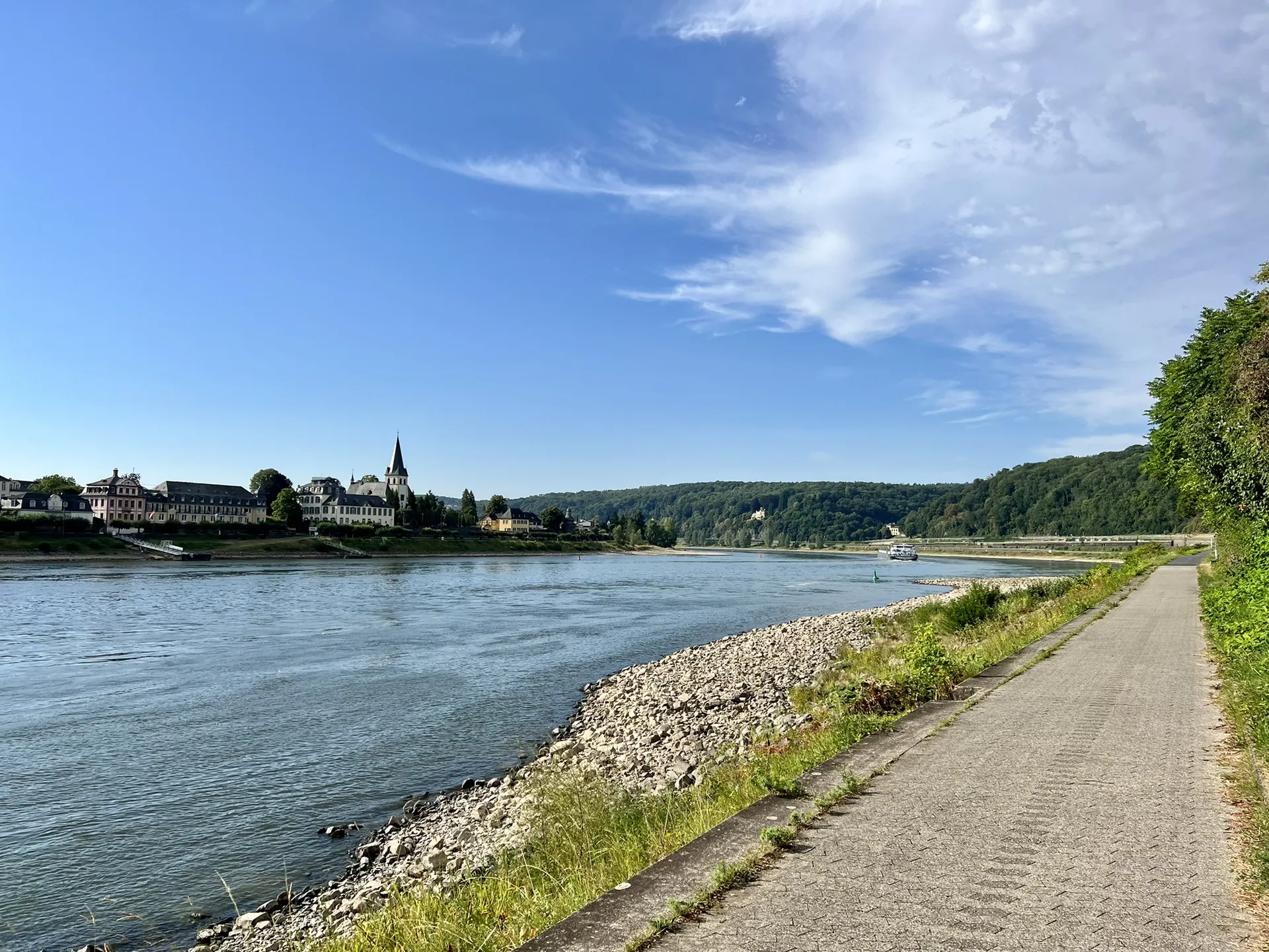
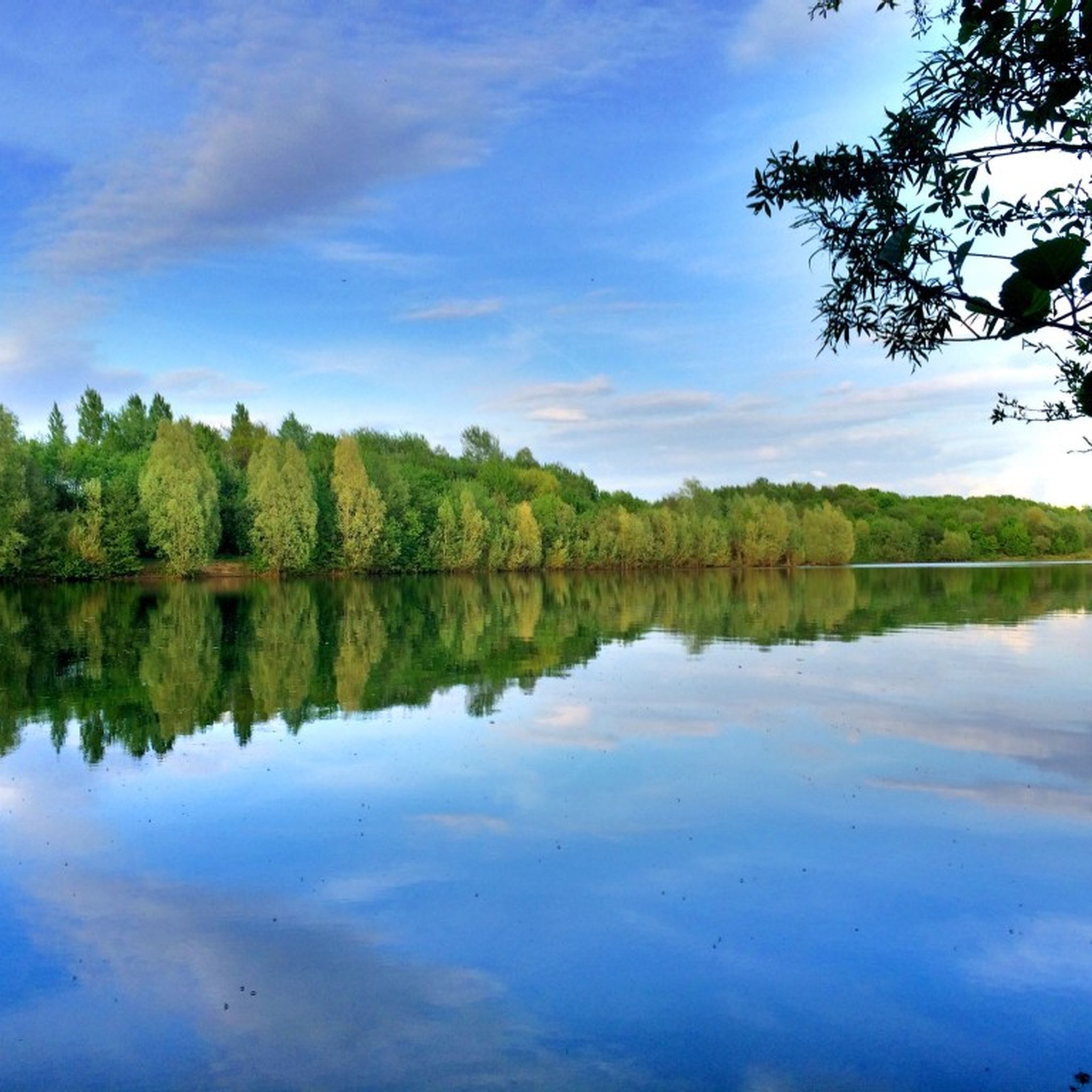
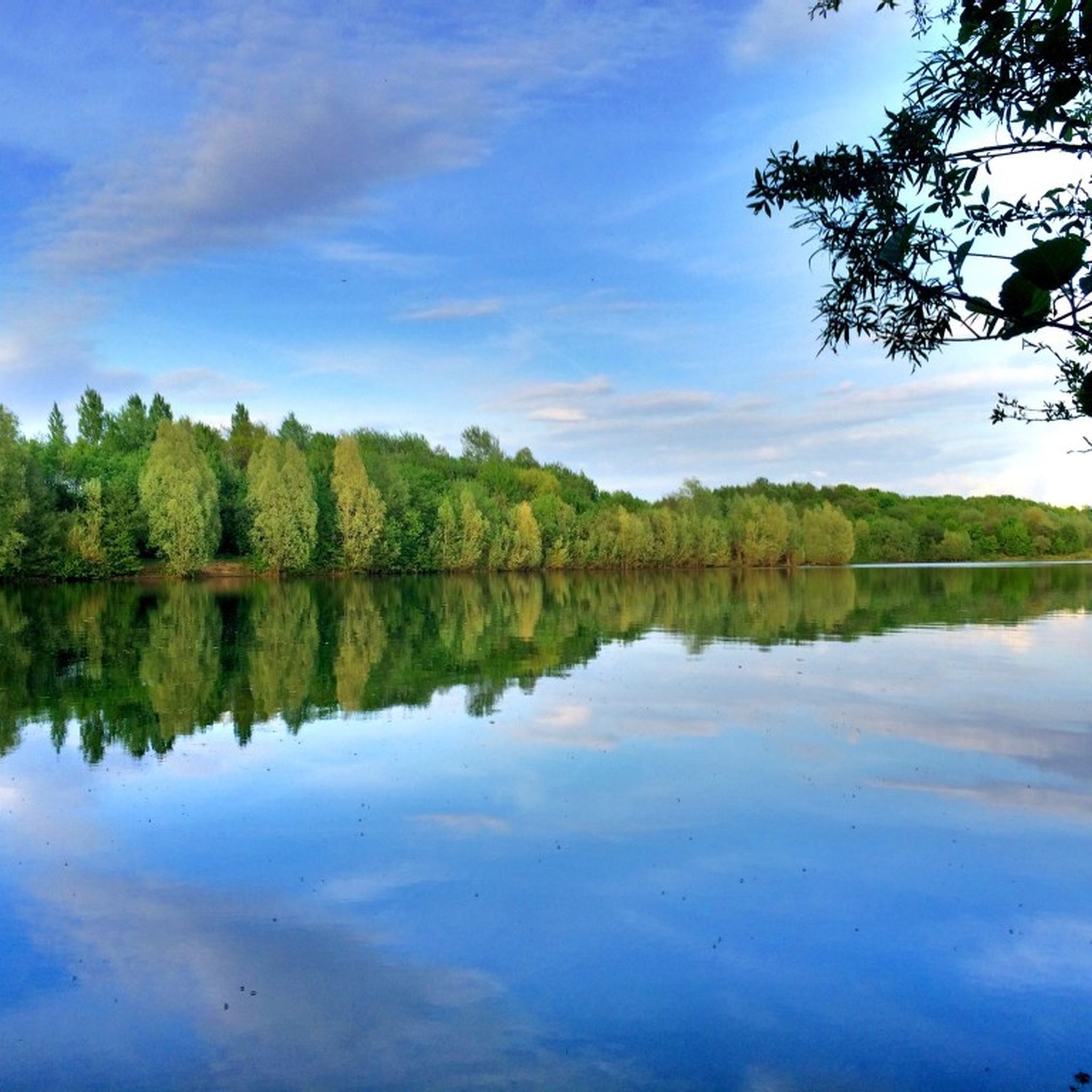
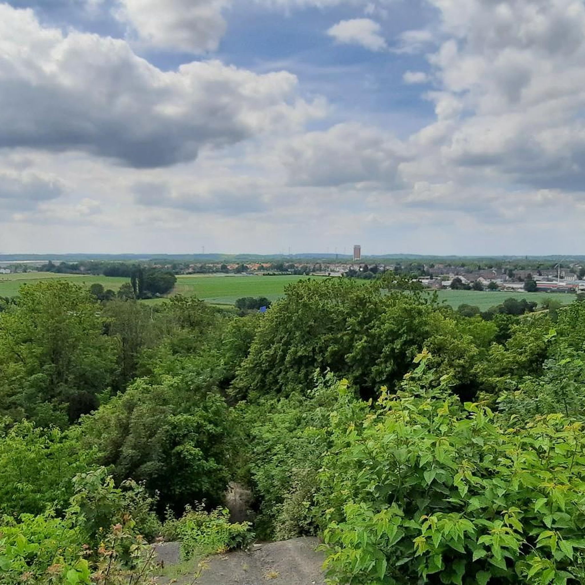
Other adventures around Moers

Tips from the Community

The terrace gardens are wonderfully laid out, always offering new perspectives.
2
0

When you have climbed the spoil tip, the view is even more imposing
1
0
A beautiful route to drive. Please be careful on the main road.
0
0

Interesting to see, beautiful paths in the area through the heath in late summer/autumn it is in bloom and covers a lot of area!
0
0

Chicken and fries restaurant, very family friendly.
0
0


A quick trip to the tourist information point to use the restroom...no problem, because the place is well-run and lined with various local animals. Just go in and enjoy everything it has to offer. The staff is friendly, too. It's worth 5 stars for me.
1
0

Very nice route - even with some elevation gain and on the Lower Rhine.
2
0
Frequently Asked Questions
What is the general terrain like for road cycling around Moers?
Road cycling around Moers is characterized by its predominantly flat terrain, making it suitable for various skill levels. The region is defined by its proximity to the River Rhine, offering scenic dike paths and routes through a cultural landscape of meadows, fields, and forests. You'll find gentle elevation gains, allowing for extended rides without significant climbs.
How many road cycling routes are available in the Moers area?
There are over 170 road cycling routes available around Moers, catering to different abilities. This includes 54 easy routes, 117 moderate routes, and a few more challenging options for experienced riders.
What are some notable natural features or landscapes I can expect to see while cycling in Moers?
The Moers region offers diverse natural features. You can expect picturesque dike cycle paths along the Rhine River, such as sections of the Rhine Cycle Path (Rheinradweg) between Mündelheim and Kaiserswerth. Many routes also incorporate water bodies like Aumühle and Schwafheimer Meer, and you'll cycle through a cultural landscape of meadows, fields, and forests.
Are there any family-friendly road cycling routes in Moers?
Yes, Moers's predominantly flat terrain makes many routes suitable for families. The 'Water and Castle' Circular Route, for example, is approximately 15 km long and passes by Moerser Schloss and Aumühle, offering an accessible and scenic ride. The Moers Bikeline Route is also highlighted for its accessibility for both avid and casual cyclists, with flat terrains and gentle slopes.
What are some interesting landmarks or attractions to explore along the cycling routes?
Moers offers several points of interest. You can cycle past historic sites like Moerser Schloss (Moers Castle) or explore the region's industrial heritage on the 'Miners' Route. Other notable attractions include the HOAG Rail Trail, the Duisburg-North Landscape Park, and the Himmelstreppe (Stairway to Heaven) at Halde Norddeutschland.
What is the best time of year for road cycling in Moers?
The best seasons for road cycling in Moers are spring and summer. During these months, temperatures are pleasant, and nature is in full bloom, providing a beautiful backdrop for your rides. The region also hosts community bike rides and cycling festivals during warmer months.
Can I find circular road cycling routes around Moers?
Yes, many routes around Moers are designed as loops. For instance, the Lauersfort Castle – Luiter Weg Ponds loop from Moers is a popular option, offering a tranquil ride past local ponds. Another example is the 'Water and Castle' Circular Route, which passes by Moerser Schloss and various water bodies.
Are there options for more challenging road cycling routes in Moers?
While Moers is known for its flat terrain, there are routes that offer a bit more challenge. For example, the Bislicher Insel Nature Reserve – Rhine Cycle Path near Wesel loop from Moers Kreisbahnhof is a moderate 78 km trail that takes you through diverse landscapes. There are 7 routes classified as difficult in the area, offering slightly more elevation gain and distance.
What do other road cyclists enjoy most about cycling in Moers?
The area is highly rated by the komoot community, with an average score of 4.4 stars from over 160 reviews. Reviewers often praise the predominantly flat terrain, picturesque Rhine River dikes, and the cultural landscape of meadows and fields, which make for enjoyable and accessible rides.
Are there any routes that combine industrial heritage with natural beauty?
Yes, the 'Miners' Route allows cyclists to discover visible traces of Moers's history as a hard coal mining area. Additionally, the Duisburger 8: The North Loop - Water and Fire offers striking contrasts between dominant industry and rural idyll on both sides of the Rhine, providing a unique cycling experience.
How can I access road cycling routes in Moers using public transport?
Many routes are accessible via public transport. For example, routes like the St. Thomas Church Stenden – Erprathsweg loop and the Bislicher Insel Nature Reserve – Rhine Cycle Path loop start from Moers Kreisbahnhof, which is a central public transport hub. The Friedrich-Heinrich Colliery Park Loop also starts from Moers Kreisbahnhof.
Are there any long-distance road cycling options available?
Yes, Moers offers several longer routes. The St. Thomas Church Stenden – Erprathsweg loop from Moers Kreisbahnhof is a moderate 78.1 km path, and the Bislicher Insel Nature Reserve – Rhine Cycle Path near Wesel loop is a similar 78.2 km trail, both suitable for longer rides.
Most popular routes around Moers
Most popular attractions around Moers

Get inspired with the komoot mobile app


Explore more
Browse the best Road cycling routes in other regions.
