The best road cycling routes around Neuhaus-Schierschnitz
4.5
(416)
5,356
riders
351
rides
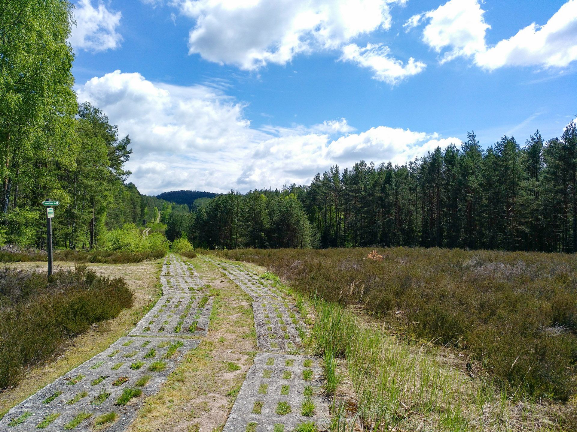
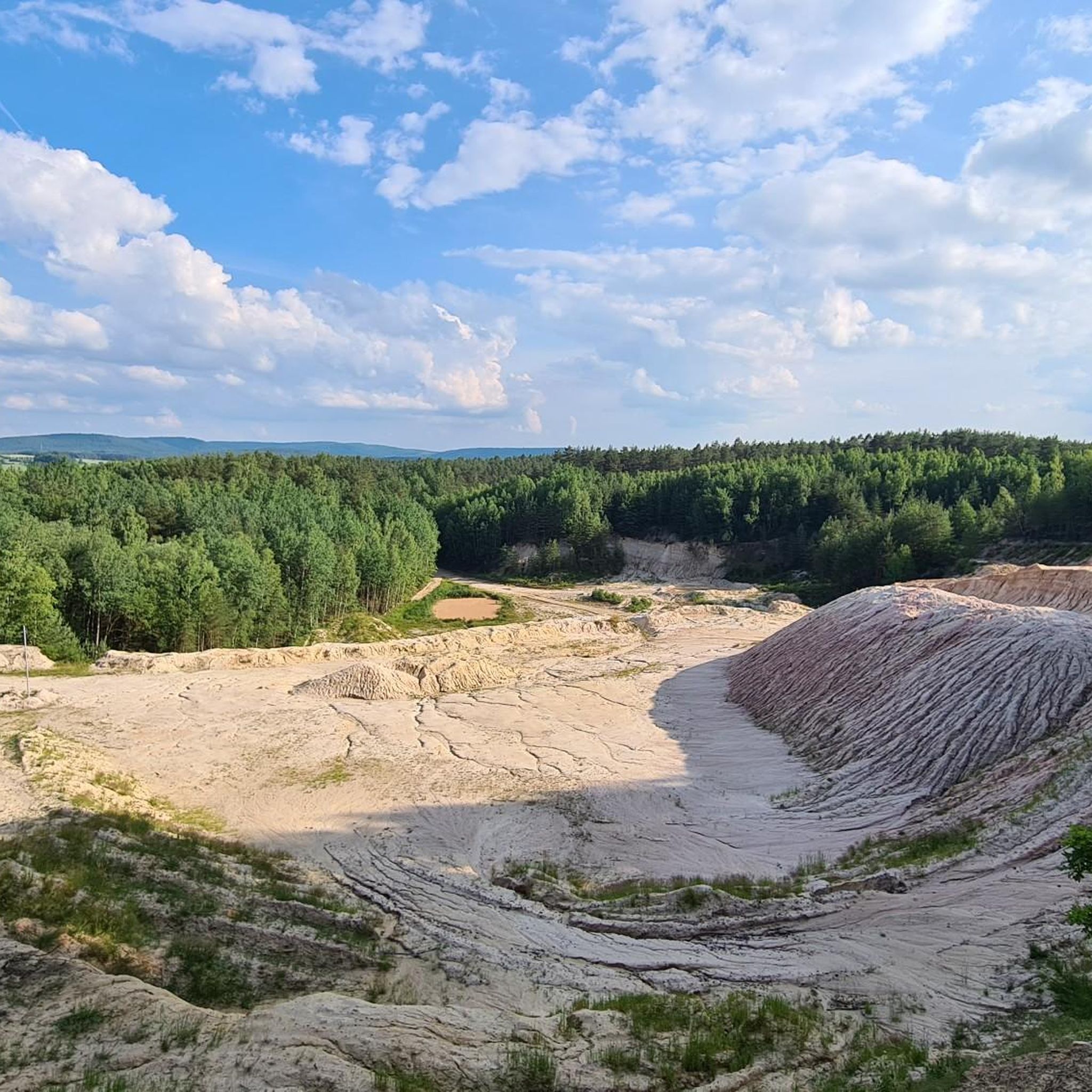
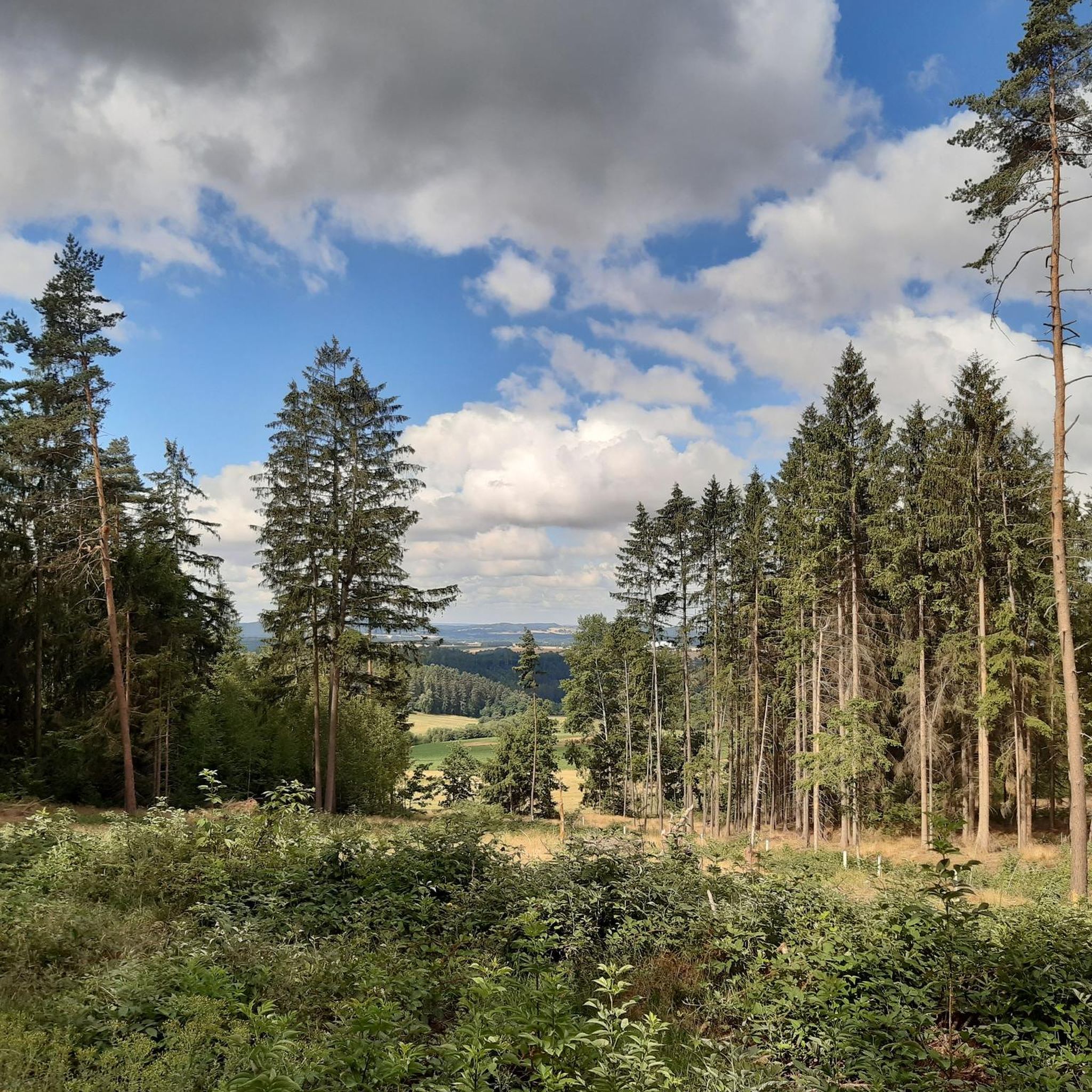
Road cycling around Neuhaus-Schierschnitz traverses a landscape characterized by the Thuringian Slate Mountains and the Green Belt. The region is nestled between the Thuringian Forest and the Franconian Forest, offering varied terrain for road cyclists. Dedicated cycling infrastructure, including asphalt cycle paths on former railway lines, provides options ranging from relatively flat sections to routes with notable elevation gains. Routes often follow valleys and provide views of the Thuringian Land and Franconia.
Best road cycling routes around Neuhaus-Schierschnitz
- The most…
Last updated: October 14, 2026
4.1
(7)
101
riders
Moderate road ride. Good fitness required. Mostly well-paved surfaces and easy to ride.
4.8
(12)
56
riders
Moderate road ride. Good fitness required. Mostly well-paved surfaces and easy to ride.

37
riders
Moderate road ride. Great for any fitness level. Some segments of this route may be unpaved and difficult to ride.
5.0
(4)
23
riders
36.7km
01:43
230m
230m
Easy road ride. Great for any fitness level. Mostly well-paved surfaces and easy to ride.
5.0
(4)
25
riders
Easy road ride. Great for any fitness level. Mostly well-paved surfaces and easy to ride.
Get access to more routes and recommendations from other explorers.
Already have an account?
Our route recommendations are based on thousands of hikes, rides, and runs completed by other people on komoot.
Start today with a free account
Your next adventure awaits.
Popular around Neuhaus-Schierschnitz
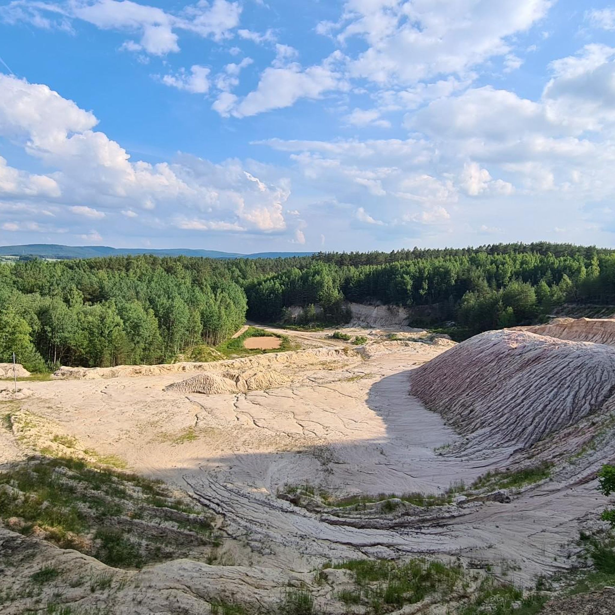
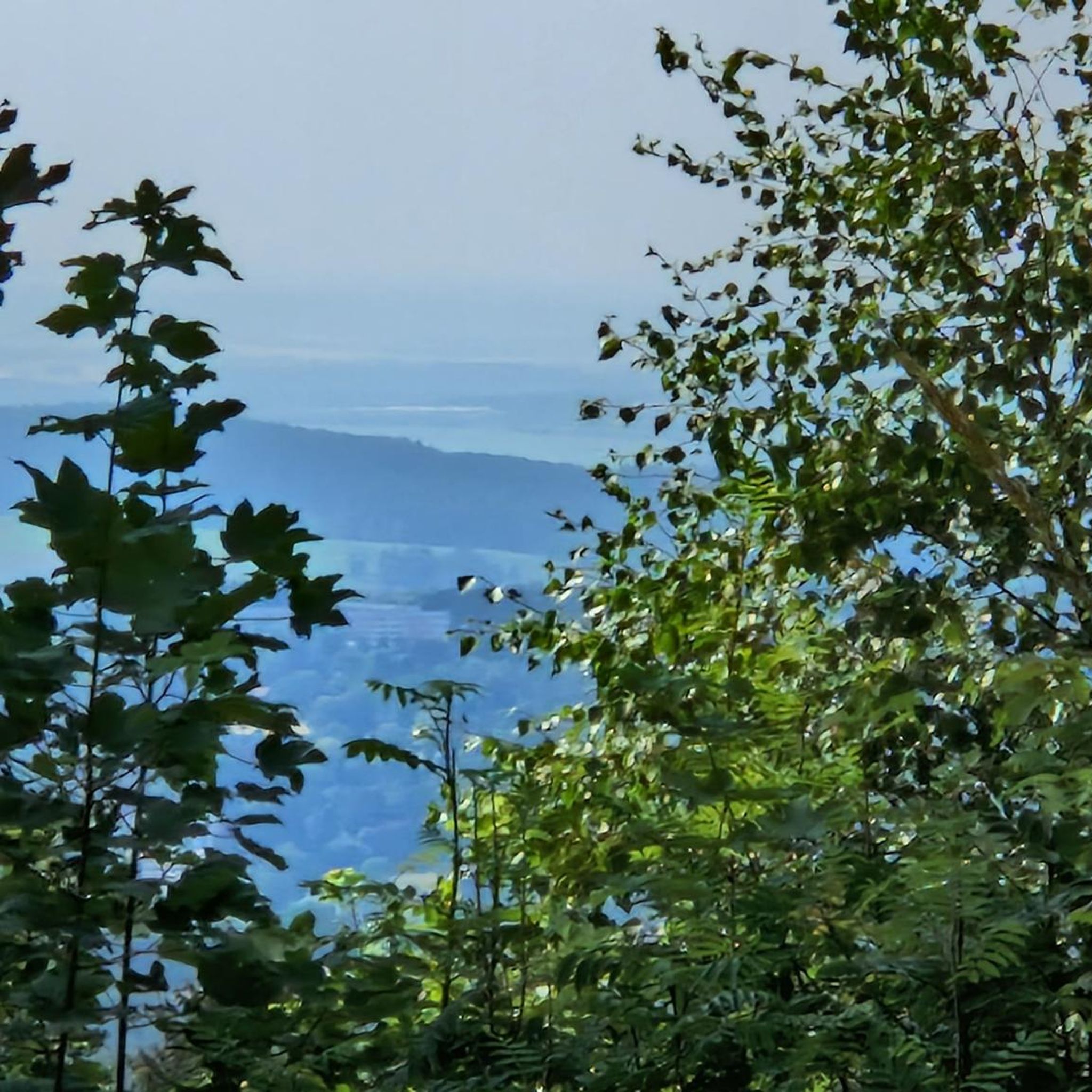
Other adventures around Neuhaus-Schierschnitz

Tips from the Community

The Catholic branch church of St. Johannes Baptista is considered the landmark of Steinbach am Wald. Its origins probably date back to a motte-and-bailey castle from the 13th century. The core structure of the choir and nave was built around 1500, making it the oldest preserved building in the municipality. The church is surrounded by a massive rubble stone wall with a slated gable roof and the remains of a former moat. On the north wall of the nave, a real embrasure still recalls its former defensive function as a place of refuge.
11
0

Imposing branch church in the small village of Steinbach am Wald. More about the church: https://de.wikipedia.org/wiki/St._Johannes_Baptista_(Steinbach_am_Wald)
1
0

The Catholic fortified church of St. John the Baptist is the historical landmark of Steinbach am Wald in the Upper Franconian district of Kronach. It is considered an important historical gem of the region, as it served as a fortified refuge for the local population in times of distress.
9
0

The Rosenberg Fortress in Kronach is one of Germany's largest fortress complexes and offers a spectacular panoramic view of the historic old town.
0
1

This is worth watching.
3
0
This bike path is fine.
4
0

The name of the village of Rothenkirchen, where a fortified manor of the Andechs-Merani family was located as early as the 12th century, derives from the locally predominant red sandstone and clay. Steeped in history are the remains of a once mighty and proud castle, which belonged to Ulrich von Haßlach until 1358, then was purchased by Conrad IV of Würtzburg (the family ruled here for about 300 years) for his sons. It was partially devastated and destroyed during the Peasants' War, but was rebuilt. In 1633, it was burned and plundered by mercenaries from the Kronach fortress, and in 1667, it was sold to the Bishopric of Bamberg by Hans Veit IV of Würtzburg.
5
0
The remains of the preserved walls are interesting.
4
0
Frequently Asked Questions
What makes road cycling in Neuhaus-Schierschnitz unique?
Neuhaus-Schierschnitz offers a diverse landscape for road cycling, characterized by the Thuringian Slate Mountains and the Green Belt. You'll find dedicated cycling infrastructure, including asphalt cycle paths on former railway lines, providing varied terrain. Routes often follow picturesque valleys and offer scenic views of the Thuringian Land and Franconia, including distant glimpses of Veste Coburg.
How many road cycling routes are available in the Neuhaus-Schierschnitz area?
There are over 380 road cycling routes around Neuhaus-Schierschnitz listed on komoot, catering to various skill levels. This includes 74 easy routes, 241 moderate routes, and 71 difficult routes, ensuring options for every cyclist.
Are there any easy or beginner-friendly road cycling routes?
Yes, the region offers 74 easy road cycling routes, many of which utilize the well-paved asphalt cycle paths on former railway lines. These paths are largely flat and suitable for a relaxed ride. An example of an easy route is the Haßlach Cycle Path – Cycle Path Along the Kronach loop from Stockheim(Oberfr), which covers 26.1 miles (42.1 km).
What kind of attractions can I see along the road cycling routes?
Many routes pass by historical sites and natural beauty. You might encounter highlights such as the Rest Area at Fürth Castle Ruins, the Marian Grotto on Roßlacher Berg, or the Felsenkeller and Historic Stone Bridge near Beikheim. The region also features the idyllic Neuhaus-Schierschnitz outdoor swimming pool and the Rotheul Observatory.
Are there any circular road cycling routes in Neuhaus-Schierschnitz?
Yes, many of the road cycling routes in the area are designed as loops. For instance, the popular Oberlangenstadt Castle – Mitwitz moated castle loop from Neuhaus-Schierschnitz is a moderate 28.3-mile (45.6 km) route connecting historical castles. Another option is the Mitwitz Moated Castle – Schmölz Castle loop from Burggrub, a 20.3-mile (32.7 km) trail through historical landscapes.
What is the best time of year for road cycling in Neuhaus-Schierschnitz?
The best seasons for road cycling in Neuhaus-Schierschnitz are typically spring, summer, and early autumn. During these months, the weather is generally mild, and the landscapes are vibrant. The region's diverse natural features, including valleys with wildflowers, are particularly enjoyable during these times.
Are there any road cycling routes suitable for families?
Family-friendly road cycling routes often utilize the well-maintained asphalt cycle paths on former railway lines, which offer a smooth and relatively flat surface. These paths are generally safer and more accessible for cyclists of all ages. Look for routes marked as 'easy' for the most suitable options.
Where can I find parking for cyclists near the routes?
While specific parking locations are not detailed for every route, many trailheads and towns in the Neuhaus-Schierschnitz area, especially those along former railway lines or popular cycle paths, typically offer designated parking for visitors. It's advisable to check local signage upon arrival or use navigation apps for specific parking points.
What do other road cyclists say about the routes in Neuhaus-Schierschnitz?
The road cycling routes in Neuhaus-Schierschnitz are highly rated by the komoot community, with an average score of 4.5 stars from over 300 reviews. Reviewers often praise the varied terrain, the scenic views of the Thuringian Land and Franconia, and the well-maintained cycle paths, especially those on former railway lines.
Are there options for longer or more challenging road cycling tours?
Yes, for experienced cyclists seeking longer or more challenging rides, the region offers 71 difficult routes and 241 moderate routes. Some segments may include unpaved sections or significant elevation gains, with rides lasting up to five hours and 3,000 feet of elevation. An example of a moderate route is the Rothenkirchen Town Square – Cycle Path Near Pressig loop from Stockheim(Oberfr), covering 30.2 miles (48.6 km) with notable elevation.
Can I find cafes or pubs along the road cycling routes for refreshments?
Yes, many routes pass through or near villages and towns where you can find cafes, pubs, and other establishments for refreshments. The region research mentions attractions like the Waldhotel Bächlein & Bächler Alm, which can serve as a stop. Planning your route with komoot allows you to identify points of interest and amenities along your chosen path.
Is public transport available to Neuhaus-Schierschnitz for cyclists with bikes?
While specific public transport options for bikes are not detailed, many regional train services in Germany allow bikes, often with a special ticket. It's recommended to check the local public transport provider's website for current regulations and schedules regarding bike transport to Neuhaus-Schierschnitz or nearby towns.
Most popular routes around Neuhaus-Schierschnitz
Most popular attractions around Neuhaus-Schierschnitz

Get inspired with the komoot mobile app


Explore more
Browse the best Road cycling routes in other regions.
