The best walks and hikes around Neuhaus am Klausenbach
4.5
(1504)
7,732
hikers
377
hikes
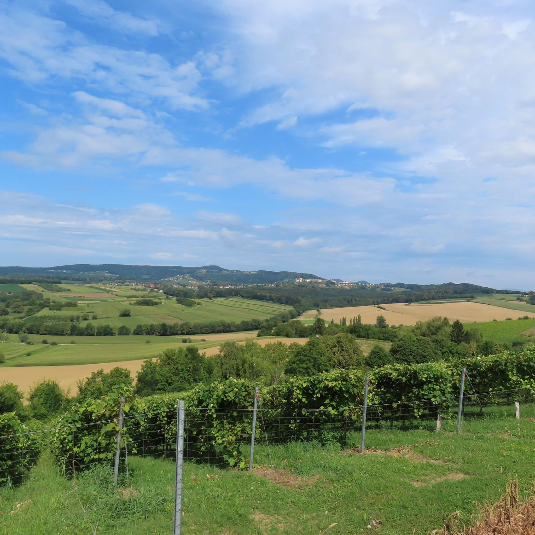
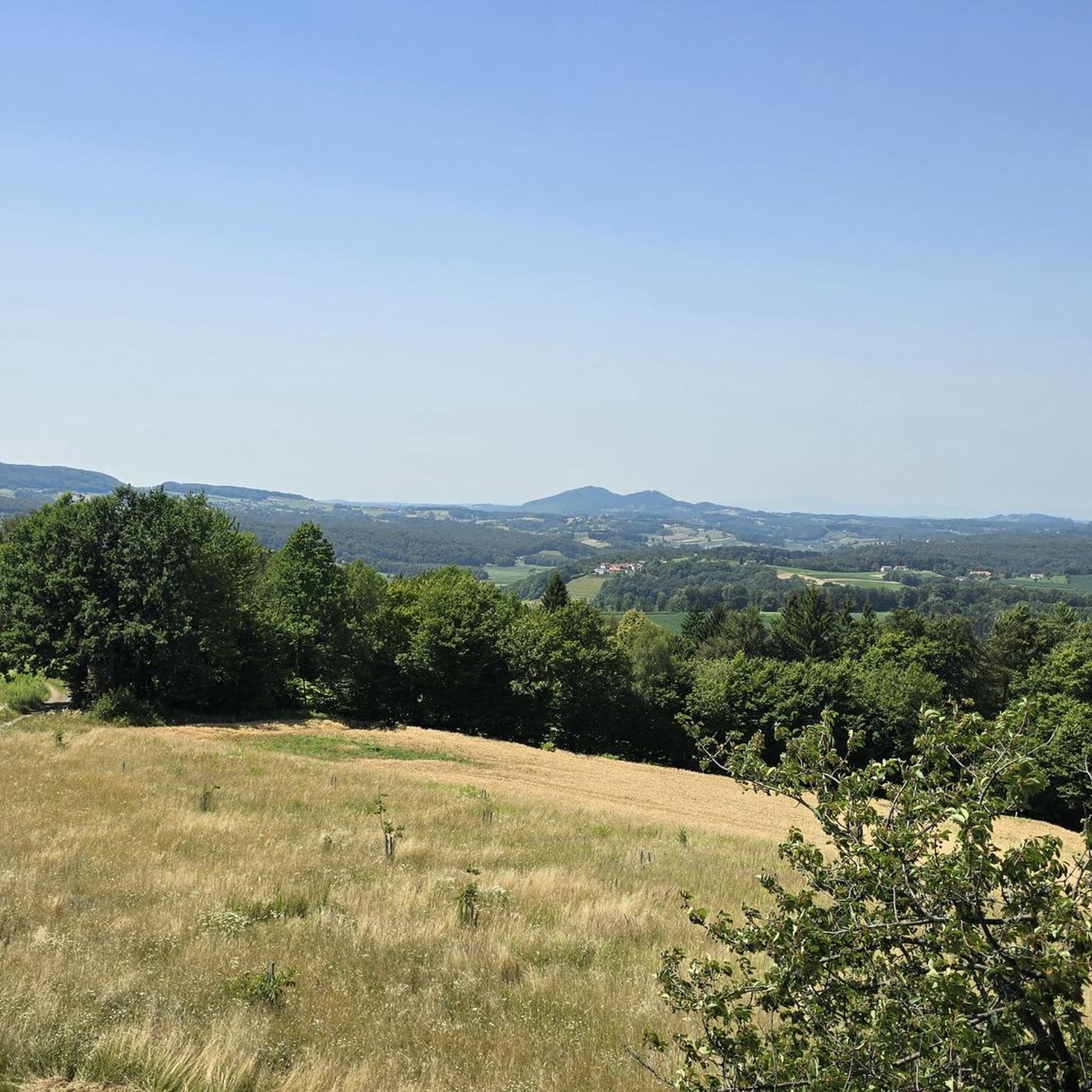
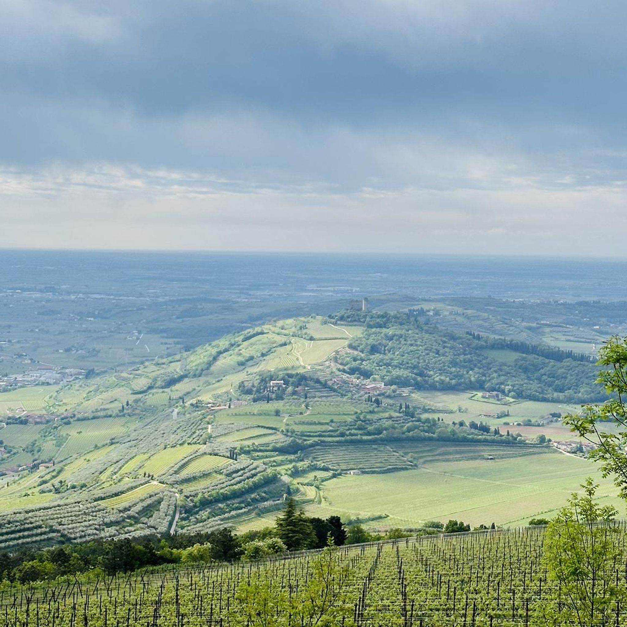
Hiking around Neuhaus am Klausenbach, located in Austria's Jennersdorf district, offers diverse outdoor experiences within a prominent hilly landscape. The region features elevations such as Stadelberg, the highest point at 418 meters, and the historic Neuhaus am Klausenbach Castle Ruins. Trails often traverse these hills, providing views across the Neuhaus hilly landscape and towards neighboring regions. The area's geography includes varied terrain suitable for different hiking abilities.
Best hiking trails in Neuhaus am Klausenbach
- The most popular hiking route is…
Last updated: October 17, 2026
4.8
(69)
465
hikers
Moderate hike. Good fitness required. Easily-accessible paths. Suitable for all skill levels.
4.1
(9)
57
hikers
6.90km
01:54
110m
110m
Easy hike. Great for any fitness level. Easily-accessible paths. Suitable for all skill levels.

4.3
(3)
21
hikers
8.44km
02:23
170m
180m
Moderate hike. Good fitness required. Easily-accessible paths. Suitable for all skill levels.
4.3
(3)
22
hikers
8.60km
02:25
180m
180m
Moderate hike. Good fitness required. Easily-accessible paths. Suitable for all skill levels.
4.8
(4)
18
hikers
8.67km
02:35
260m
260m
Moderate hike. Good fitness required. Easily-accessible paths. Suitable for all skill levels.
Get access to more routes and recommendations from other explorers.
Already have an account?
Our route recommendations are based on thousands of hikes, rides, and runs completed by other people on komoot.
Start today with a free account
Your next adventure awaits.
Tips from the Community

Unique and extra! It is rare for 3 borders to meet at one point, and for this to be marked by a "monument". Here we find the Austrian-Hungarian-Slovenian border point, which can be approached from every country via tourist routes. The monument bears the year 1920.VI.4., marking the borders established by the peace treaty signed in Trianon, which are still in effect today and represent a tragedy for the Hungarian Nation. Thus, it is rather a sore point, unlike for our neighbors.
0
0

On the occasion of a wine shop, as a small literary addition to the noble drops, I can recommend a few lines by Rainer Maria RILKE (* 1875, + 1926): „Lord, it is time. The summer was very great. Lay your shadow on the sundials, and on the fields release the winds. Command the last fruits to be full; give them two more southern days, push them towards completion and chase the last sweetness into the heavy wine.“
0
0

The Dobra Castle ruins are located on a steep volcanic cone rising directly above the market town of Neuhaus am Klausenbach. The castle's origins date back to the 12th century: Built as a Hungarian border fortress, it formed a dam in the Klausenbach Valley, serving as a strategic counterpart to the Styrian Kapfenstein Castle. During numerous conflicts throughout the Middle Ages, the fortress was repeatedly conquered and changed hands. The castle was last captured by Andreas Baumkircher in 1467, suffering significant damage. Although the complex was restored, the end of the castle's military and political significance at the beginning of the modern era led to a rapid decline of the once mighty fortification from the mid-17th century onward. As in many similar cases, the buildings were actively demolished, and the stones were reused as building material elsewhere. Today, only the remains of the thick inner walls of the pentagonal castle courtyard bear witness to its past strength.
0
0

The small community is located at an altitude of 359 meters in the Raab-Őrség-Goričko Nature Park, near the border triangle of Austria-Hungary-Slovenia. It is the southernmost community in Burgenland.
0
0
Tabor Castle, built in 1469 and given a baroque makeover in the 17th century, served various purposes, including as a refuge during the religious wars and later as a residence for estate employees. After extensive restorations in 2002-2003 and a change of ownership in 2019, it is now owned by the state of Burgenland and is used as an event venue and for a Heurigen restaurant.
1
0

The place shows the permanence and also the transience of national borders. Very nicely done!
3
0

Maria Theresa boundary stone…. About 200 meters before the Chartake
1
0
The Maria Theresia boundary stone
1
0
Frequently Asked Questions
How many hiking trails are available around Neuhaus am Klausenbach?
There are over 380 hiking routes in the Neuhaus am Klausenbach region, offering a wide variety of options for different skill levels and preferences.
What types of terrain can I expect on hikes in Neuhaus am Klausenbach?
The region is characterized by its prominent hilly landscape, including elevations like Stadelberg, the highest point at 418 meters. Trails often traverse these hills, providing varied terrain suitable for different hiking abilities, from gentle gradients to more challenging ascents.
Are there any easy hiking trails suitable for beginners or families?
Yes, Neuhaus am Klausenbach offers a good selection of easy trails. For example, the Hiking loop from Tauka is an easy 4.3-mile (6.9 km) path with gentle gradients, perfect for a relaxed outing. Overall, there are nearly 200 easy routes available.
What are some notable landmarks or viewpoints I can discover while hiking?
Hikers can explore the historic Neuhaus am Klausenbach Castle Ruins, which offer panoramic vistas across the Neuhaus hilly landscape, into Slovenia, and towards other castles. The Stadelberg, the highest point in the district, also features an observation tower with expansive views. Additionally, you can visit the Three-country border point Austria–Hungary–Slovenia.
Are there any circular hiking routes in the area?
Yes, many routes in Neuhaus am Klausenbach are circular. The W1 circular hiking trail, for instance, follows the ridges around the municipalities of St. Martin/Raab, Minihof-Liebau, Mühlgraben, and Neuhaus/Klausenbach. Another option is the Tabor Castle – Tabor Castle loop from Neuhaus am Klausenbach, which is a moderate 5.2-mile (8.4 km) trail.
What do other hikers say about the trails in Neuhaus am Klausenbach?
The routes in Neuhaus am Klausenbach are highly rated by the komoot community, with an average score of 4.5 stars from over 1,300 reviews. Hikers often praise the varied terrain, the scenic views from the castle ruins and Stadelberg, and the well-maintained paths that cater to different abilities.
What is the typical duration for hikes in Neuhaus am Klausenbach?
Hike durations vary significantly. Shorter, easy trails like the Hiking loop from Tauka can be completed in under 2 hours. Moderate routes, such as the Tschartake Guardhouse – Tabor Castle loop from Neuhaus am Klausenbach, typically take around 2.5 hours. Longer routes can extend to over 4 hours, like the St. Anna am Aigen Town Center – Refreshment point loop from Sankt Anna am Aigen.
Are there any historical sites or cultural attractions near the hiking trails?
Beyond the Neuhaus am Klausenbach Castle Ruins, you can find other historical points of interest. The region features Roman burial mounds and the Gleichenberger Kogel (598 m) Ruins. The castle hill also hosts a nature education workshop, adding a cultural dimension to your hike.
Are there any trails that offer views into neighboring countries?
Yes, the observation tower at the Neuhaus am Klausenbach Castle Ruins provides panoramic views that stretch into Slovenia. Additionally, some trails, like the 'Grenzwanderung Slowenien' (border hike to Slovenia), directly connect to the border region.
What is the best time of year to go hiking in Neuhaus am Klausenbach?
The hilly landscape of Neuhaus am Klausenbach is enjoyable throughout much of the year. Spring and autumn offer pleasant temperatures and vibrant scenery, while summer provides longer daylight hours. Even in winter, some trails may be accessible, offering a different perspective of the landscape.
Are there any natural monuments or unique natural features to see?
The region is rich in natural beauty. Besides the prominent Stadelberg, you can discover a Mineral Spring. The overall hilly landscape and ridgelines themselves are a significant natural feature, providing diverse ecosystems and scenic vistas.
Are there any trails that are particularly suitable for families with children?
Many of the easy and moderate trails are suitable for families. The nature education workshop at the castle hill makes the Neuhaus am Klausenbach Castle Ruins area a popular spot for groups and families. Look for routes with shorter distances and less elevation gain for a family-friendly experience.
Most popular routes around Neuhaus am Klausenbach
Most popular attractions around Neuhaus am Klausenbach

Get inspired with the komoot mobile app


Explore more
Browse the best Hikes in other regions.
