The best MTB trails around Neuendorf-Sachsenbande
4.8
(127)
275
riders
40
rides
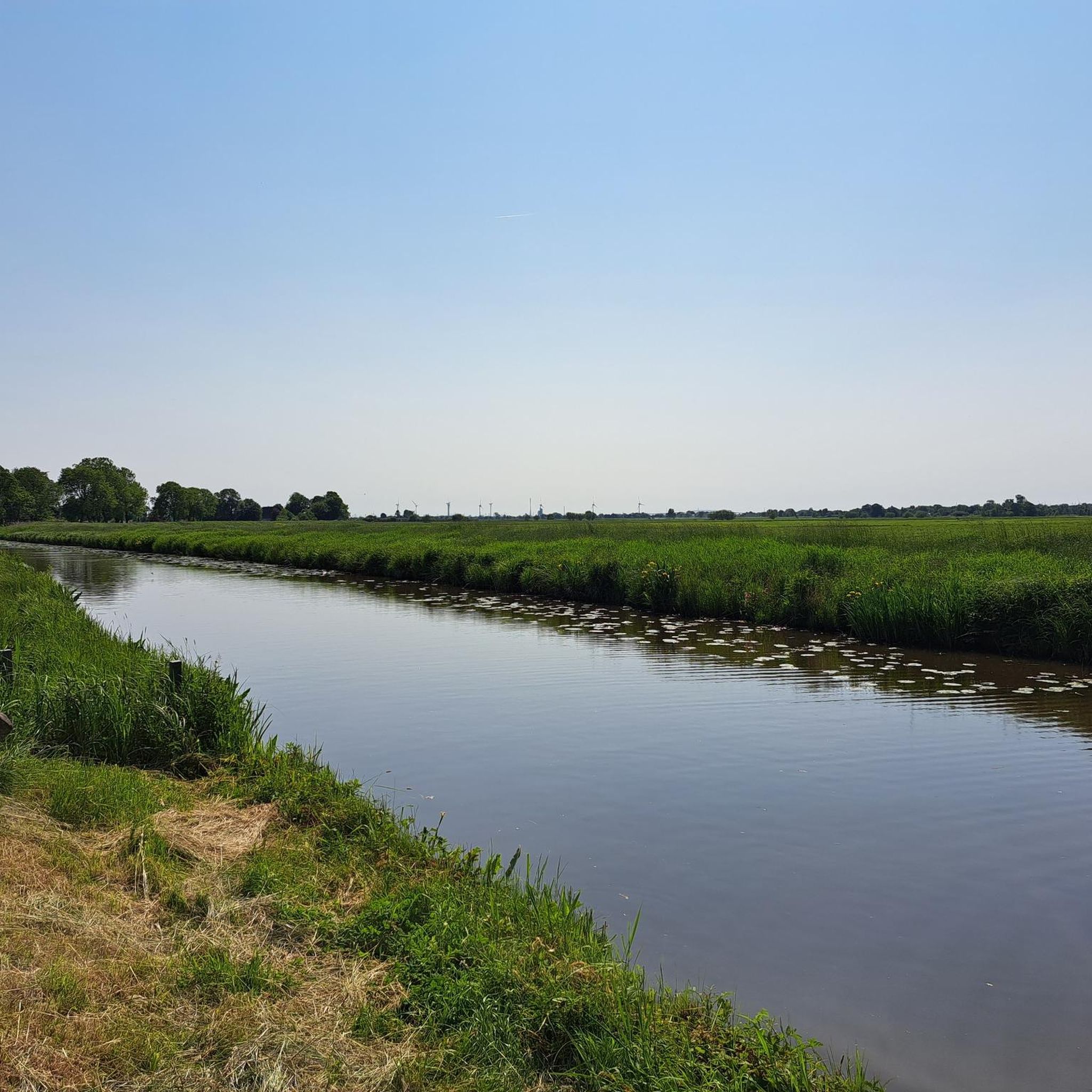
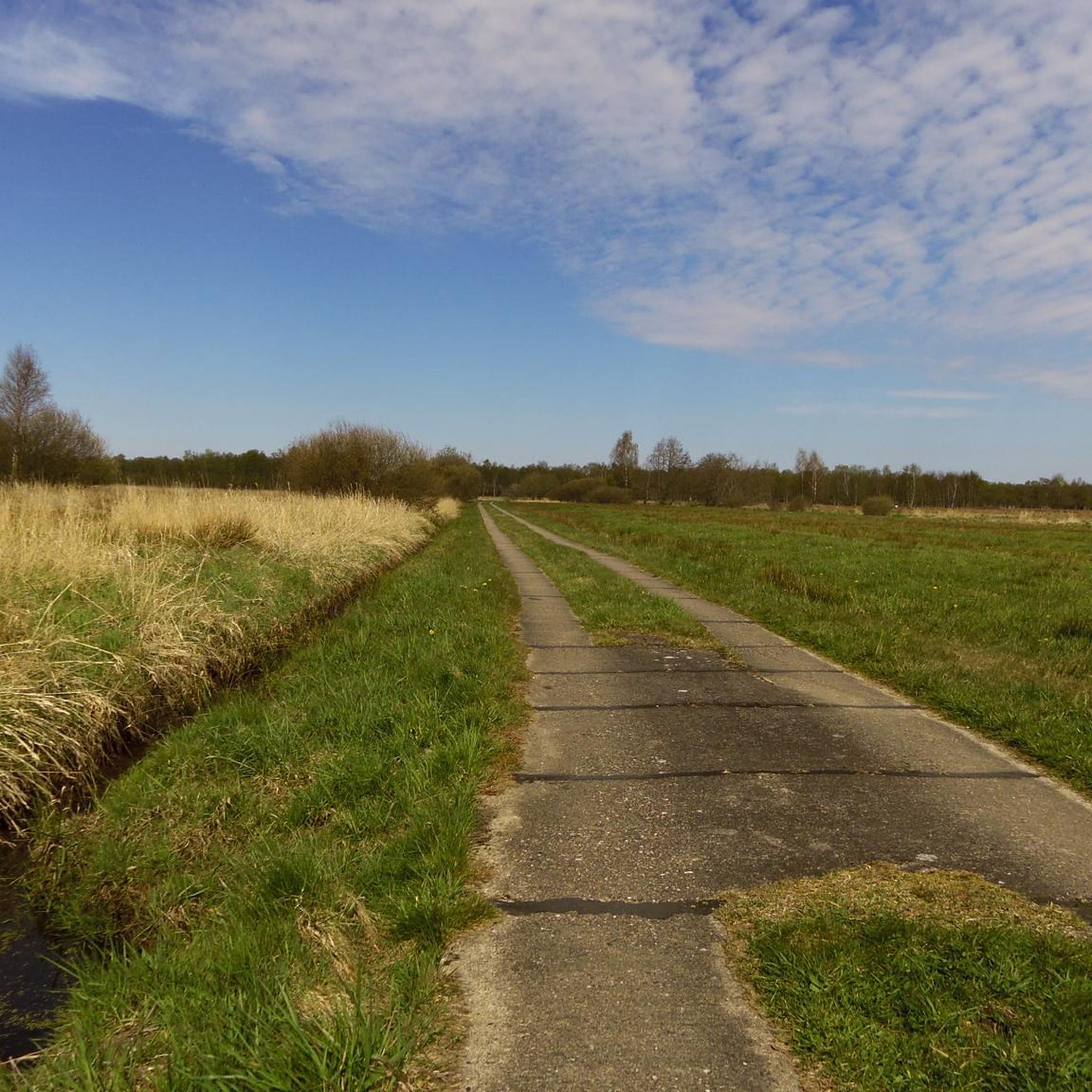
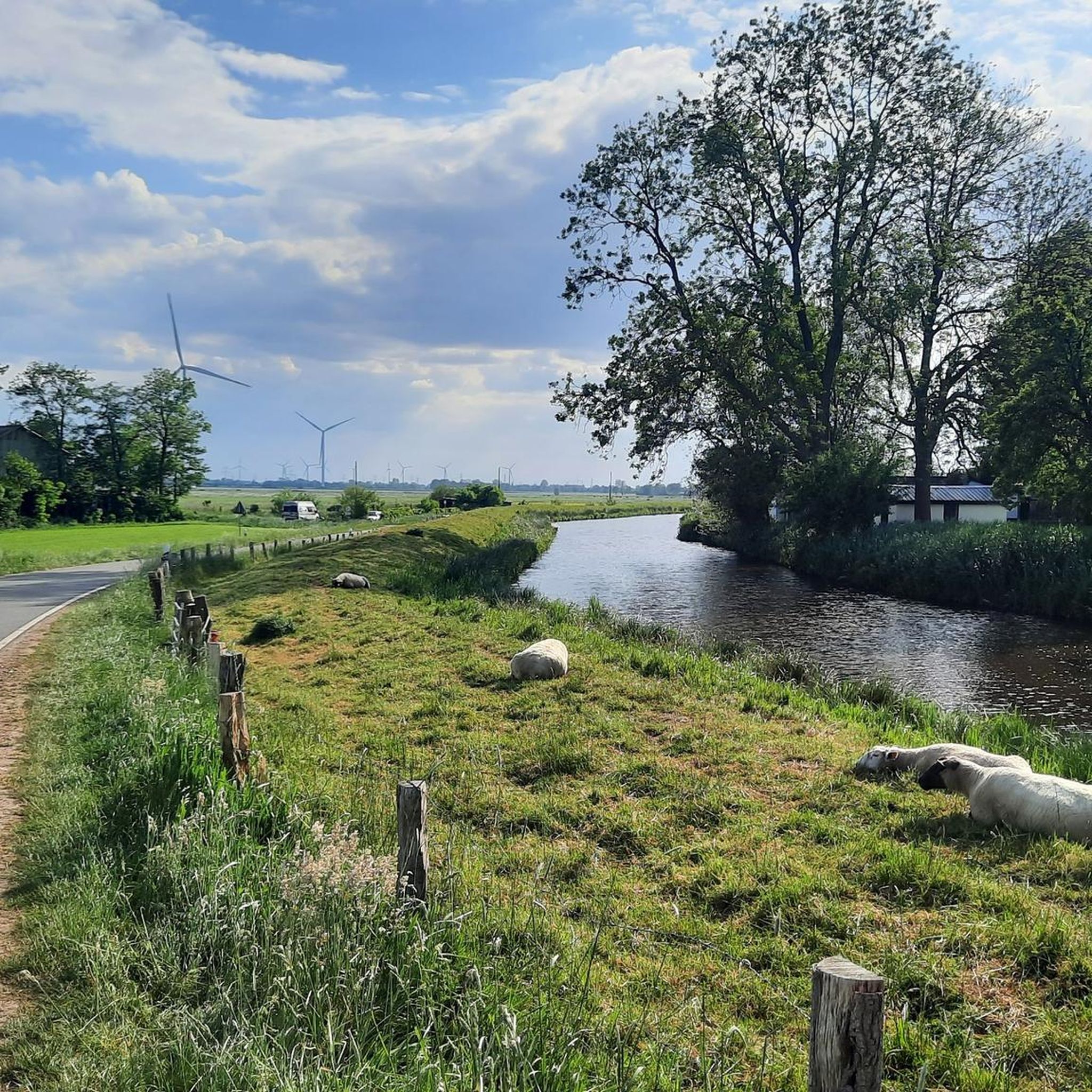
Mountain biking around Neuendorf-Sachsenbande is characterized by its exceptionally flat terrain, as the region contains Germany's lowest accessible point. The landscape is dominated by the expansive Wilstermarsch flatlands, numerous waterways, and an extensive system of dikes. While dedicated mountain bike trails with significant elevation changes are not characteristic of this area, the routes offer leisurely cycling opportunities through a distinctive polder landscape.
Best mountain bike trails around Neuendorf-Sachsenbande
- The most popular mountain bike trail is Hohenhörn High Bridge – Grünental…
Last updated: July 1, 2026
4.8
(10)
16
riders
32.2km
01:40
100m
100m
Easy mountain bike ride. Great for any fitness level. Suitable for all skill levels.
5
riders
20.8km
01:37
170m
170m
Easy mountain bike ride. Great for any fitness level. Suitable for all skill levels.

Sign up for free
5.0
(1)
4
riders
Moderate mountain bike ride. Good fitness required. Suitable for all skill levels.
5.0
(2)
4
riders
Easy mountain bike ride. Great for any fitness level. Suitable for all skill levels.
5.0
(2)
5
riders
Easy mountain bike ride. Great for any fitness level. Suitable for all skill levels.
Get access to more routes and recommendations from other explorers.
Sign up for free
Already have an account?
Our route recommendations are based on thousands of hikes, rides, and runs completed by other people on komoot.
Start today with a free account
Your next adventure awaits.
Login or Signup


Other adventures around Neuendorf-Sachsenbande

Tips from the Community


I always like to stop here and linger a while and listen to the flowing Gieselau 🙂🌼🌳🐬
0
0

A truly cozy spot steeped in history. There are even grills available.
0
0
Beautiful light sand
0
0

Nobody can deny you a little break 🙋
0
0

Is a decommissioned nuclear power plant a highlight? It is, in a way!
0
0


cozy rest area with charging station for e-bikes and information boards
0
0
Frequently Asked Questions
What kind of mountain biking can I expect in Neuendorf-Sachsenbande?
Mountain biking in Neuendorf-Sachsenbande is characterized by its exceptionally flat terrain, as the region contains Germany's lowest accessible point. The landscape is dominated by expansive flatlands, numerous waterways, and an extensive system of dikes. While dedicated mountain bike trails with significant elevation changes are not characteristic, the routes offer leisurely cycling opportunities through a distinctive polder landscape, ideal for relaxed rides.
Are there challenging mountain bike trails in Neuendorf-Sachsenbande?
Due to the region's predominantly flat topography, Neuendorf-Sachsenbande does not offer challenging mountain bike trails with significant elevation changes or technical features. The routes are generally easy to moderate, focusing on relaxed cycling through the unique marshland and along waterways.
How many mountain bike routes are available in Neuendorf-Sachsenbande?
There are over 40 mountain bike routes available around Neuendorf-Sachsenbande. These include 22 easy routes and 20 moderate routes, providing options for various fitness levels, primarily focusing on relaxed cycling.
Are there mountain bike routes suitable for beginners or families?
Yes, Neuendorf-Sachsenbande is an excellent destination for beginners and families. The region's flat terrain and well-developed network of paths make it ideal for relaxed cycling. Many routes are easy, such as the Hohenhörn High Bridge – Grünental High Bridge loop from Hochdonn, which offers scenic views without demanding climbs.
What natural features or landmarks can I see while mountain biking?
While cycling, you can explore unique natural features and landmarks. The region is home to Germany's Lowest Point. You can also discover various lakes like Muldsberg Clay Pit Lake and Deckmann's Ponds, or visit nature reserves such as the Nordoe Inland Dunes Nature Reserve and the St. Margarethen Outer Dike Nature Reserve, which is an important bird sanctuary.
Can I cycle along the Kiel Canal or Elbe River?
Yes, the region's proximity to the Kiel Canal and the Elbe River provides excellent cycling opportunities. Routes like the Ostermoor Ferry (Kiel Canal) – Brunsbüttel Ferry loop from Burg (Dithmarschen) allow you to experience the Kiel Canal area, including its impressive bridges and free ferries. You can also find routes offering scenic views of the Stör River and access to the Elbe sandy beach, such as the View of the Stör River – Elbe Sandy Beach Near Brokdorf loop from Wilster.
Is parking available near the mountain bike routes?
Yes, parking is generally available in the towns and villages that serve as starting points for the cycling routes, such as Hochdonn, Wilster, and Burg (Dithmarschen). These locations are common access points for exploring the Wilstermarsch and canal areas.
Can I reach the cycling routes by public transport?
Public transport options, including regional trains and buses, connect the towns in the Wilstermarsch region. While direct access to every trailhead might vary, you can typically reach central locations like Wilster or Burg (Dithmarschen) by public transport, from where many cycling routes begin.
Are dogs allowed on the mountain bike routes?
Generally, dogs are welcome on the cycling paths in Neuendorf-Sachsenbande, especially on the dikes and rural roads. However, it's always advisable to keep them on a leash, particularly in nature reserve areas like the St. Margarethen Outer Dike, to protect local wildlife and ensure a pleasant experience for all users.
What is the best time of year to go mountain biking in Neuendorf-Sachsenbande?
The best time to go cycling in Neuendorf-Sachsenbande is typically from spring to autumn (April to October). During these months, the weather is generally mild and pleasant, making for comfortable rides. The flat terrain also means routes are less affected by snow or ice in winter, though strong winds can be a factor year-round.
Are there any circular mountain bike routes?
Yes, many of the mountain bike routes in Neuendorf-Sachsenbande are designed as circular loops, allowing you to start and end at the same point. Examples include the View over the Wilsterau – Kasenort Lock loop from Wilster and the Hochdonn High Bridge – Hohenhörn Ferry (Kiel Canal) loop from Burg (Dithmarschen).
What do other mountain bikers say about the routes in Neuendorf-Sachsenbande?
The routes in Neuendorf-Sachsenbande are highly rated by the komoot community, with an average score of 4.7 stars from over 120 reviews. Mountain bikers often praise the tranquil, expansive views of the flatlands, the unique experience of cycling along dikes and waterways, and the well-maintained paths suitable for relaxed exploration.
Are there places to eat or stay near the cycling routes?
Yes, the towns and villages within the Wilstermarsch region, such as Wilster, Burg (Dithmarschen), and Itzehoe (a bit further afield), offer various options for cafes, pubs, and accommodation. You'll find local eateries and guesthouses where you can refuel and relax after your ride.
Most popular routes around Neuendorf-Sachsenbande
Most popular attractions around Neuendorf-Sachsenbande

Get inspired with the komoot mobile app


Explore more
Browse the best MTB trails in other regions.
