The best road cycling routes around Neu-Anspach
4.5
(748)
11,759
riders
52
rides
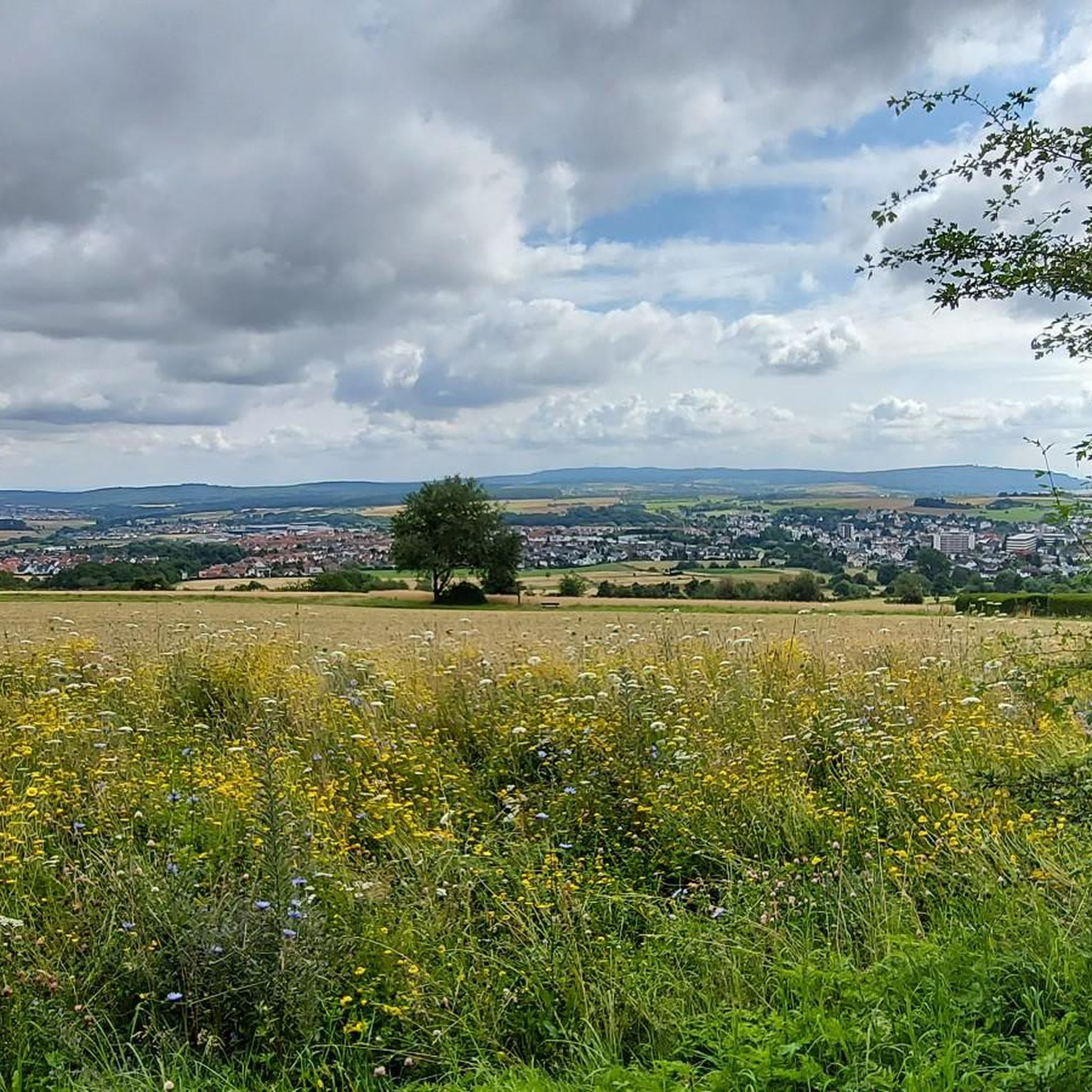
Road cycling routes around Neu-Anspach traverse the diverse landscapes of the Taunus region, offering varied terrain for different fitness levels. The area is characterized by challenging ascents, such as the climb to the Großer Feldberg, and more leisurely paths through meadows and forests. Neu-Anspach is situated within the Taunus Hills Nature Park, featuring the Upper Taunus slopes and the Taunus Ridge, providing a mix of elevated routes and valley floodplains. The highest point, Großer Feldberg, reaches between 879 and 881 meters, offering expansive views.
Best road cycling routes around Neu-Anspach
- The most popular road cycling route is Weilmünster Village Center – Freienfels Castle loop from Neu Anspach, a 44.2 miles (71.2 km) trail that takes 3 hours 11 minutes to complete. This moderate route features a significant elevation gain of over 750 meters.
- Another top favourite among local road cyclists is View of the Taunus – View of Braunfels Castle loop from Neu Anspach, a difficult 72.3 miles (116.4 km) path. This route includes over 1500 meters of elevation gain, providing extensive views of the Taunus landscape.
- Local road cyclists also love the Großer Feldberg Summit – Ascent to Brombach loop from Hausen, a 23.9 miles (38.5 km) trail leading through the elevated Taunus region, often completed in about 2 hours 10 minutes.
- Road cycling around Neu-Anspach is defined by challenging ascents to peaks like Großer Feldberg, winding paths through the Taunus Hills Nature Park, and scenic routes along valley floodplains. The network offers options for various ability levels, from moderate climbs to more demanding long-distance routes.
- The routes in Neu-Anspach are highly rated by the komoot community with an average score of 4.7 stars from over 110 reviews. More than 1500 road cyclists have used komoot to explore Neu-Anspach's varied terrain.
Last updated: October 18, 2026
4.8
(16)
229
riders
71.6km
03:14
740m
740m
Moderate road ride. Good fitness required. Mostly well-paved surfaces and easy to ride.
4.3
(7)
295
riders
116km
05:27
1,510m
1,510m
Hard road ride. Very good fitness required. Mostly well-paved surfaces and easy to ride.

5.0
(2)
65
riders
149km
07:04
1,960m
1,960m
Hard road ride. Very good fitness required. Mostly well-paved surfaces and easy to ride.
4.9
(16)
90
riders
Moderate road ride. Good fitness required. Mostly well-paved surfaces and easy to ride.
4.2
(5)
138
riders
75.3km
03:17
650m
650m
Moderate road ride. Good fitness required. Mostly well-paved surfaces and easy to ride.
Get access to more routes and recommendations from other explorers.
Already have an account?
Our route recommendations are based on thousands of hikes, rides, and runs completed by other people on komoot.
Start today with a free account
Your next adventure awaits.
Popular around Neu-Anspach

History, forest and gnomes – hiking in Germany’s Hochtaunus region

A journey through time – the most beautiful routes in the Taunus Nature Park
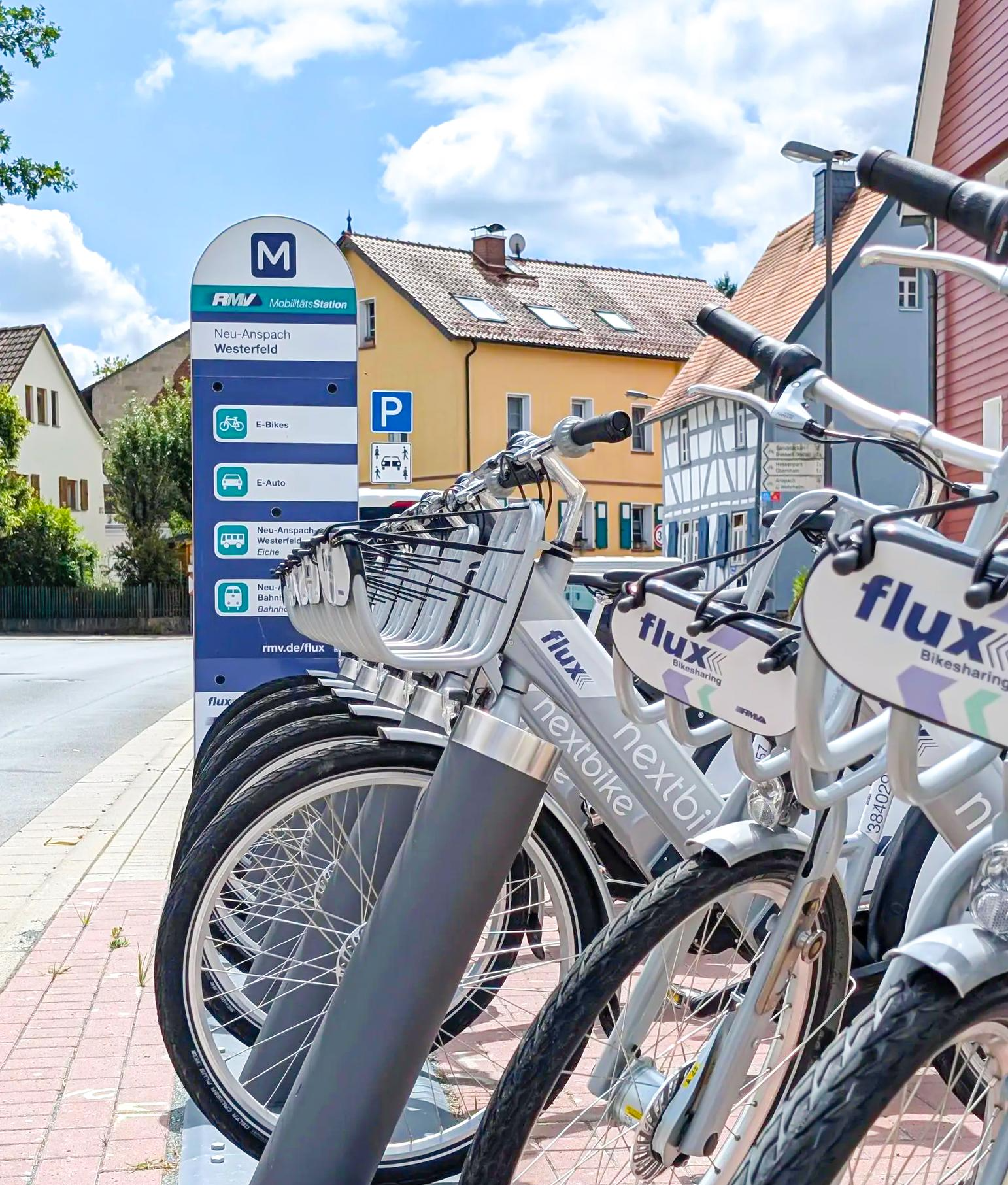
Mit flux & Bahn – Radtouren im Usinger Land
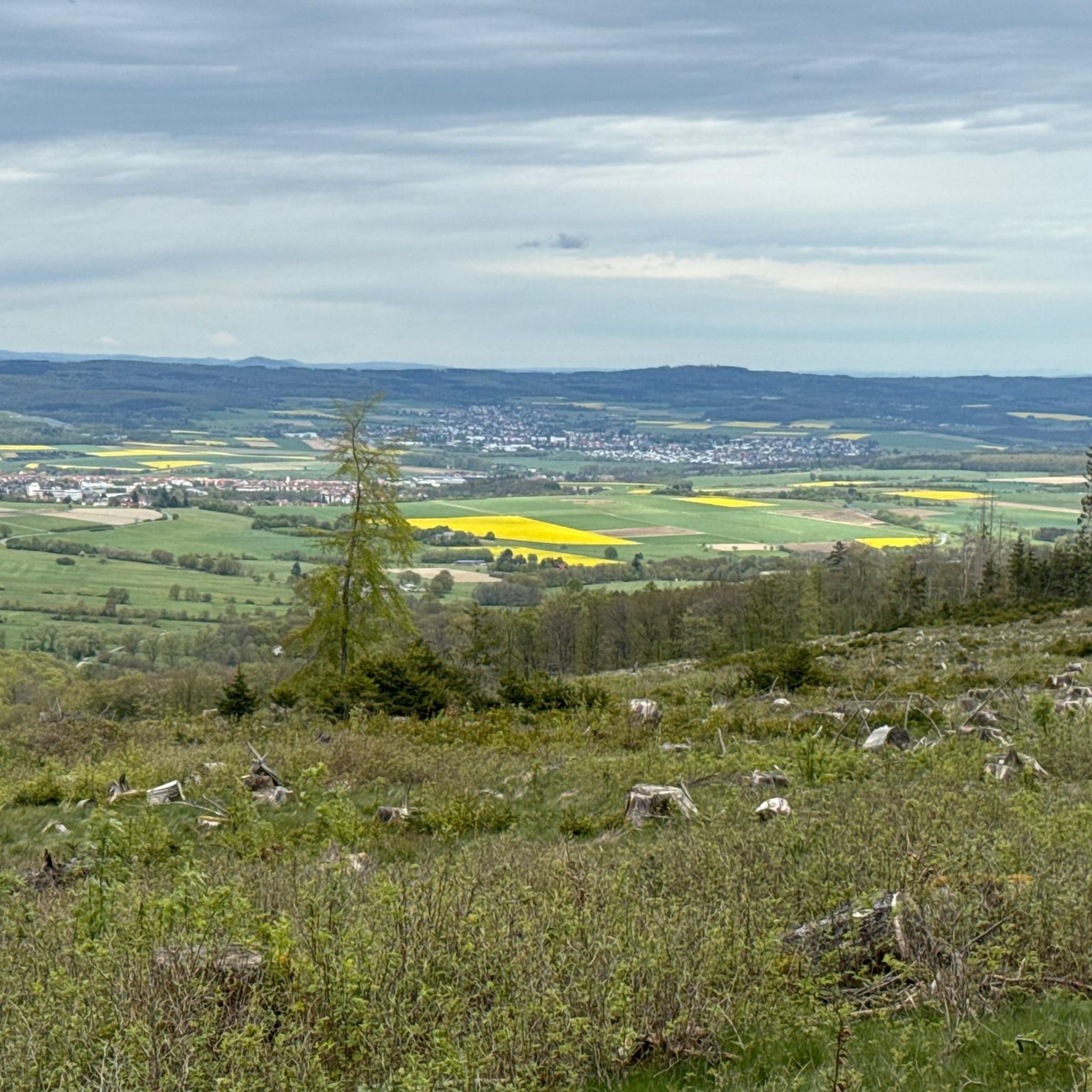
Hiking around Neu-Anspach
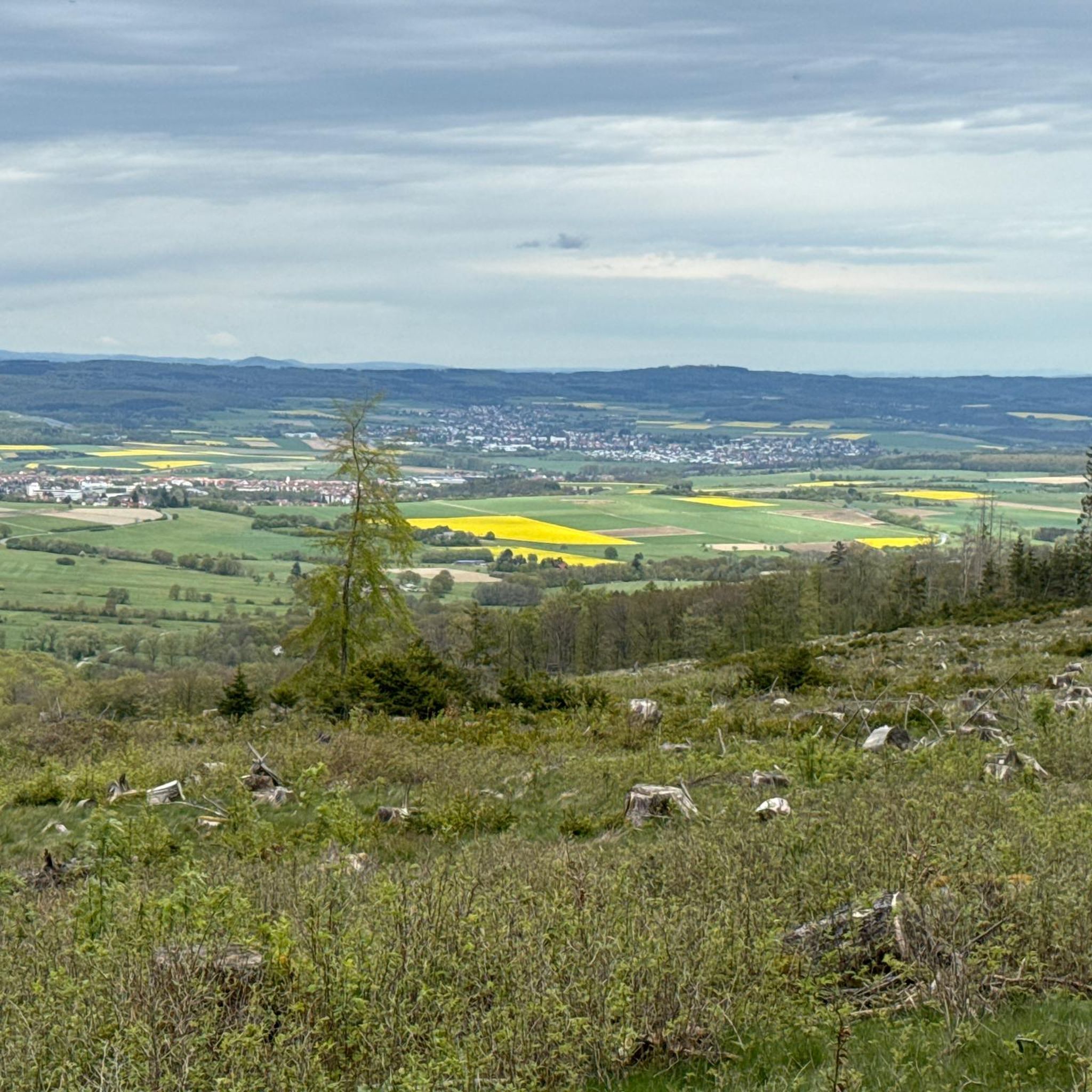
Cycling around Neu-Anspach
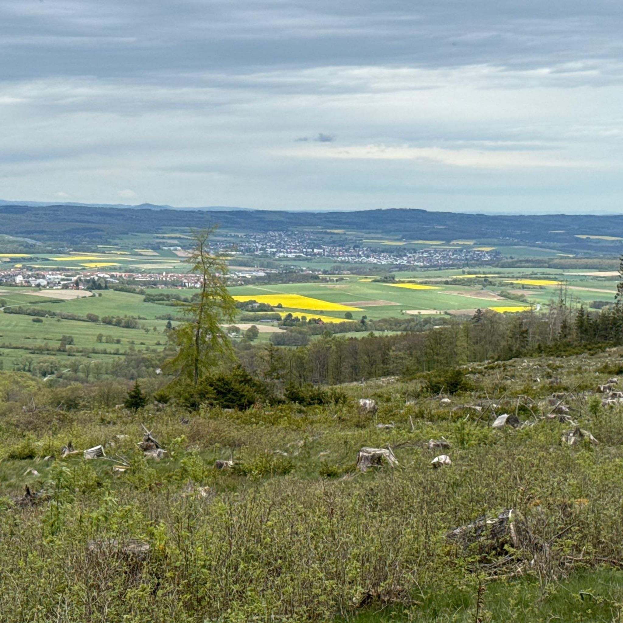
MTB Trails around Neu-Anspach
Running Trails around Neu-Anspach

Gravel biking around Neu-Anspach

Mountain Hikes around Neu-Anspach
Other adventures around Neu-Anspach


Tips from the Community

The Brombach was unfortunately dried out down to the riverbed :-(
0
0

Since this is the official cycle path, it is definitely a good alternative to the road.
1
0

Thank you for your work.
0
0

It looks very interesting from the outside.
1
0

From Kirberg you have a great view
1
0

Located directly at the roundabout, the fire station in Rod an der Weil is hard to miss. It serves as a perfect landmark at the entrance to the village for anyone traveling on the Weiltalweg trail or through the Hochtaunus region.
2
0

Beautiful route both the ascent and the descent
0
0

A really beautiful section in the Weiltal, great to ride 🚴♂️👍🏼
1
1
Frequently Asked Questions
How many road cycling routes are available around Neu-Anspach?
There are over 50 dedicated road cycling routes around Neu-Anspach documented on komoot, offering a wide range of options for different skill levels. The broader Taunus region, where Neu-Anspach is located, features an even more extensive network of cycling paths.
What kind of terrain can I expect on road cycling routes near Neu-Anspach?
The terrain around Neu-Anspach, situated in the Taunus region, is quite varied. You'll find everything from challenging ascents, such as the climb to the Großer Feldberg, to more leisurely paths winding through meadows and forests. The area includes the elevated Upper Taunus slopes and the Taunus Ridge, as well as scenic valley floodplains.
Are there challenging road cycling routes for experienced riders?
Yes, Neu-Anspach offers several challenging routes. For instance, the View of the Taunus – View of Braunfels Castle loop from Neu Anspach is a difficult 72.3-mile (116.4 km) path with over 1500 meters of elevation gain. The twelve-kilometer ascent to the Großer Feldberg from Oberursel is also a well-known challenge for road cyclists.
Are there any easier or family-friendly road cycling options?
While many routes feature significant climbs, the region also offers more relaxed cycling experiences. The Usatalradweg (Usatal Cycle Path), for example, provides a gentler ride with no major inclines, winding through meadows and forests. For specific road cycling routes, you can find several moderate options, such as the Village Fountain in Hundstadt – Old Town Hall Naunstadt loop from Neu Anspach, which is 25.2 miles (40.5 km) with moderate elevation.
What are the best times of year for road cycling in Neu-Anspach?
Cyclists frequently visit the Neu-Anspach area during May and June, when the weather is generally favorable for outdoor activities. However, the region offers enjoyable cycling conditions throughout the spring, summer, and early autumn months. Winter cycling is possible, but conditions may vary, especially at higher elevations like the Großer Feldberg.
What interesting sights or landmarks can I see along the road cycling routes?
Many routes offer stunning views and pass by notable attractions. You can enjoy expansive views from the Großer Feldberg Summit, or from the Brunhildis Rock on its northern edge. Other points of interest include the View of Großer Feldberg from Altkönig and the historic Saalburg Roman Fort, which is often incorporated into various routes.
Are there places to stop for refreshments or a break along the routes?
Yes, several popular stopping points are available. The Anita's Fuchstanz and Fuchstanz: The Forest Inn are well-known rest stops for cyclists and hikers on the way to or from Großer Feldberg and Altkönig. The Großer Feldberg summit plateau itself also features a restaurant and kiosks.
Can I find circular road cycling routes in the area?
Yes, many of the road cycling routes around Neu-Anspach are designed as loops, allowing you to start and end at the same point. Examples include the popular Weilmünster Village Center – Freienfels Castle loop from Neu Anspach and the Großer Feldberg Summit – Ascent to Brombach loop from Hausen.
What do other road cyclists say about the routes in Neu-Anspach?
The road cycling routes in Neu-Anspach are highly regarded by the komoot community, with an average score of 4.7 stars from over 110 reviews. Cyclists often praise the varied terrain, the challenging ascents, and the scenic beauty of the Taunus Hills Nature Park.
Are there any long-distance road cycling routes available?
Yes, for those seeking longer rides, routes like the View of the Taunus – View of Braunfels Castle loop from Neu Anspach cover over 70 miles (116 km). The region's extensive network also allows for combining routes to create even longer journeys, exploring more of the Taunus landscape.
How accessible are the road cycling routes by public transport?
Neu-Anspach has public transport connections that can facilitate access to the surrounding cycling routes. While specific route starting points may vary in their direct public transport accessibility, the general area is served, allowing for planning rides that incorporate train or bus travel.
Where can I find parking for road cycling routes in Neu-Anspach?
Parking is generally available in and around Neu-Anspach, particularly at common starting points for outdoor activities. Many villages and towns in the Taunus region offer public parking facilities. It's advisable to check specific starting points for designated parking areas when planning your route.
Most popular routes around Neu-Anspach
Most popular attractions around Neu-Anspach

Get inspired with the komoot mobile app


Explore more
Browse the best Road cycling routes in other regions.
