The best walks and hikes around Narsdorf
4.6
(7868)
22,792
hikers
28
hikes
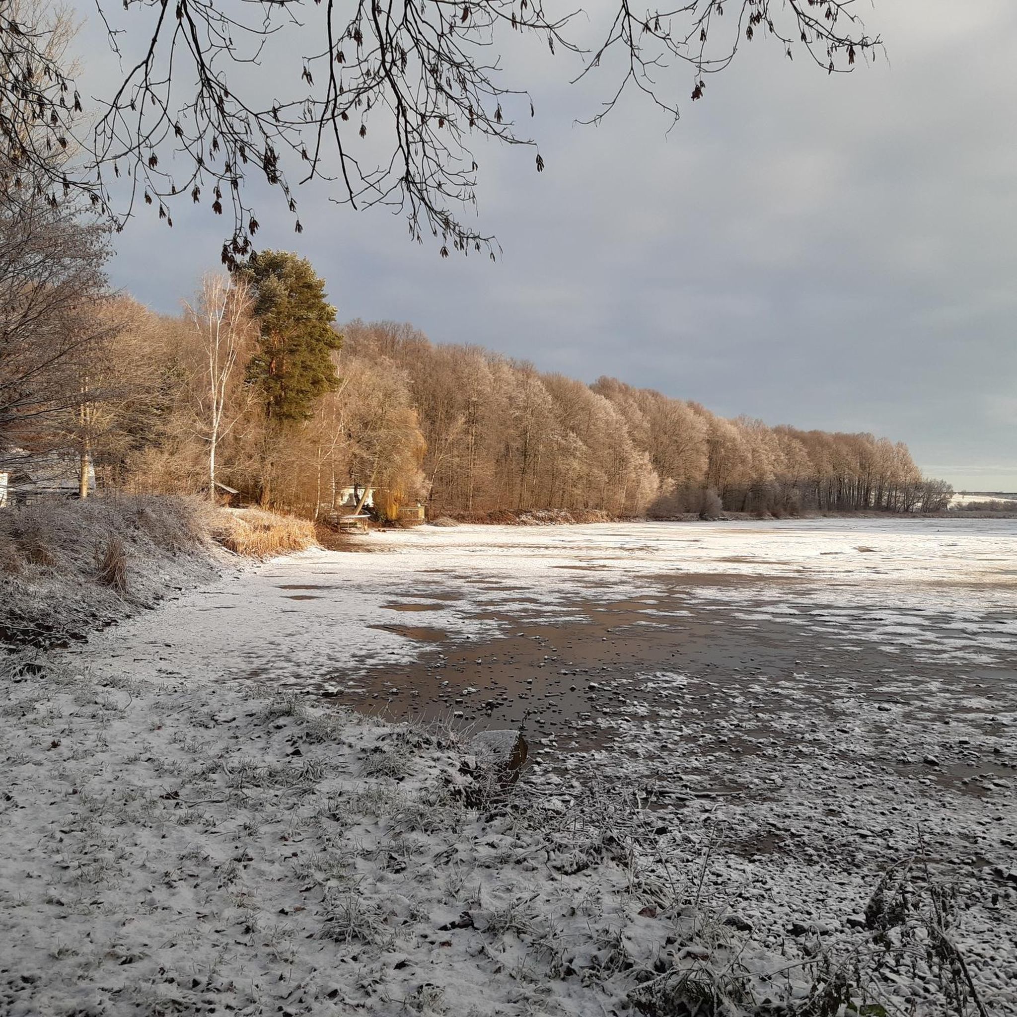
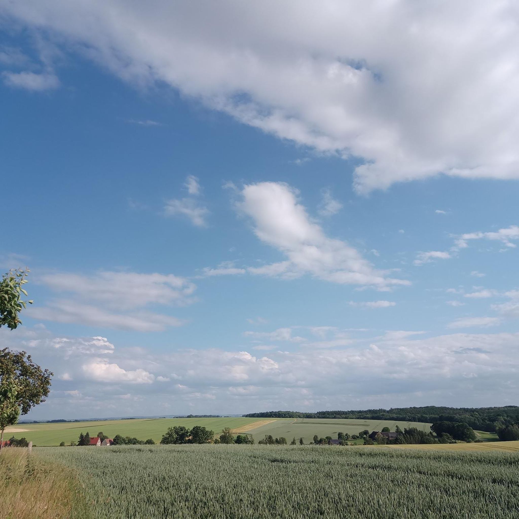
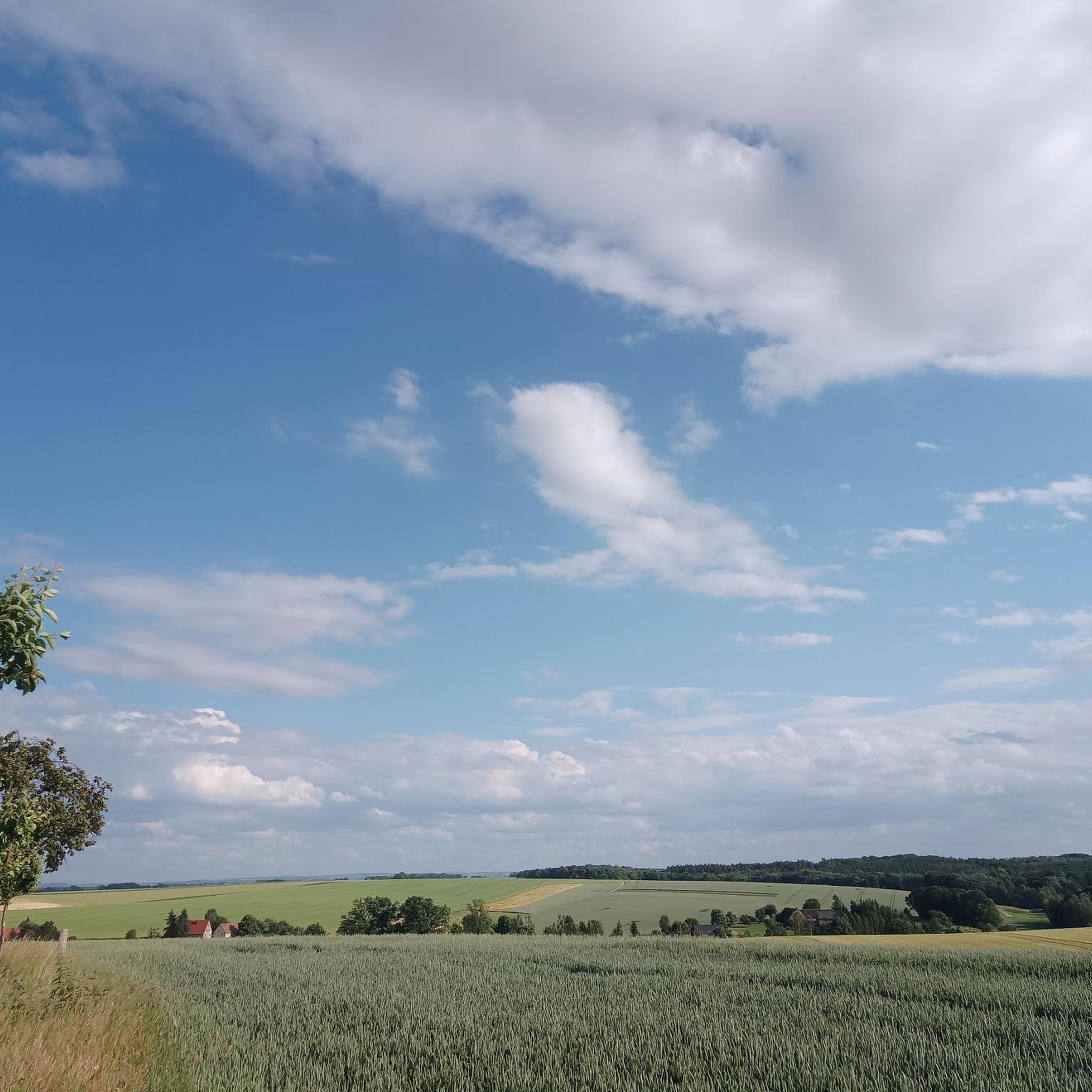
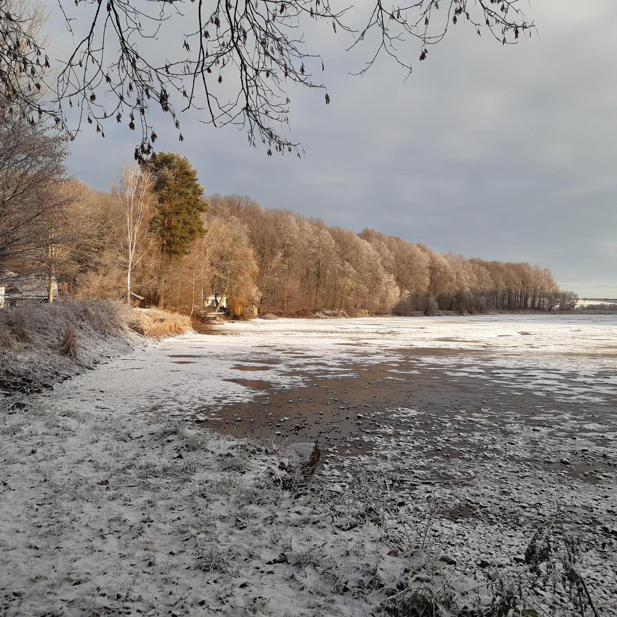
Hiking around Narsdorf offers diverse landscapes within the Kohrener Land, part of the Central Saxon Hills. The area features extensive woodlands, providing shaded trails, alongside numerous ponds and streams that add scenic beauty to routes. Hikers can expect varied elevation, ranging from 541 feet (165 meters) to 1,119 feet (341 meters), with an average of 850 feet (259 meters) above sea level. This topography allows for engaging walks with moderate inclines and rewarding views across the Saxon landscape.
Best hiking trails around Narsdorf
- The most popular hiking route is Great trails along the Mulde – Wechselburg Porphyry Bridge loop from Narsdorf, a 11.6 miles (18.7 km) trail that takes 5 hours 10 minutes to complete. This route follows the Mulde river and passes the notable Wechselburg Porphyry Bridge.
- Another top favourite among local hikers is Mulde Bridge Wechselburg – Gleisberg Quarry Numbers Wall loop from Narsdorf, a moderate 11.1 miles (17.9 km) path. It offers scenic views along the Mulde river and explores the area around Gleisberg Quarry.
- Local hikers also love the Signpost at Kohren-Sahlis – Luther Church Ossa loop from Ossa, a 5.6 miles (9.0 km) trail leading through the historic Kohren-Sahlis area, often completed in about 2 hours 23 minutes.
- Hiking around Narsdorf is defined by extensive woodlands, tranquil water bodies, and gently rolling hills of the Central Saxon Hills. The network of routes offers options for easy, moderate, and difficult trails, catering to various ability levels.
- The routes in Narsdorf are highly rated by the komoot community with an average score of 4.6 stars from over 7,200 reviews. More than 23,000 hikers have used komoot to explore Narsdorf's varied terrain.
Last updated: October 11, 2026
4.4
(8)
25
hikers
Hard hike. Very good fitness required. Easily-accessible paths. Suitable for all skill levels.
5.0
(3)
11
hikers
17.7km
04:54
310m
310m
Moderate hike. Good fitness required. Easily-accessible paths. Suitable for all skill levels.

5.0
(1)
9
hikers
5.45km
01:25
30m
30m
Easy hike. Great for any fitness level. Easily-accessible paths. Suitable for all skill levels.
5.0
(1)
8
hikers
22.7km
06:06
290m
290m
Hard hike. Very good fitness required. Easily-accessible paths. Suitable for all skill levels.
4.5
(2)
6
hikers
28.2km
07:53
500m
500m
Hard hike. Very good fitness required. Sure-footedness, sturdy shoes and alpine experience required.
Get access to more routes and recommendations from other explorers.
Already have an account?
Our route recommendations are based on thousands of hikes, rides, and runs completed by other people on komoot.
Start today with a free account
Your next adventure awaits.
Tips from the Community

Even for novice runners in a small loop, it's nice to explore.
0
0

Perfect starting point for a hike around the Rochlitz mountain.
0
0

sufficient parking, easy to walk with dog 🐕
0
0

Wonderful café. Definitely stop here after a hike.
0
0

Beautiful route along the Mulde!
0
0


The red porphyry rock and the deep vertical cliffs are very impressive. An educational trail leads around the quarry. Of course, it's worth taking a trip to the observation tower on Rochlitzer Berg afterward (or before 😉).
0
0

Frequently Asked Questions
How many hiking trails are available around Narsdorf?
There are over 30 hiking routes in the Narsdorf area, catering to various skill levels. You'll find 14 easy trails, 12 moderate routes, and 4 more challenging hikes to explore.
What kind of landscapes can I expect while hiking in Narsdorf?
Narsdorf is situated in the picturesque Kohrener Land, part of the Central Saxon Hills. You can expect diverse landscapes featuring extensive woodlands, tranquil ponds, and streams like the Katze and Ratte. The terrain includes gently rolling hills, with elevations ranging from 165 meters (541 ft) to 341 meters (1,119 ft), offering engaging walks and rewarding views.
Are there any circular hiking routes in Narsdorf?
Yes, many routes around Narsdorf are circular. For example, the Great trails along the Mulde – Wechselburg Porphyry Bridge loop from Narsdorf is a popular option, covering 18.7 km. Another great choice is the easy Hiking loop from Narsdorf, which is about 5.4 km long.
What do other hikers say about the trails in Narsdorf?
The hiking trails in Narsdorf are highly regarded by the komoot community, holding an average rating of 4.6 stars from over 7,200 reviews. Hikers often praise the quiet woodlands, the scenic beauty of the Mulde river, and the varied terrain that offers both relaxing strolls and more challenging ascents.
Are there any family-friendly hiking options in Narsdorf?
Yes, Narsdorf offers several easy trails suitable for families. The Hiking loop from Narsdorf is a good example of an easy, shorter route that allows families to enjoy the natural surroundings without excessive difficulty.
What interesting landmarks or attractions can I see near the hiking trails?
The Narsdorf area is rich in historical and natural attractions. You can visit the impressive Rochlitz Castle, explore the Friedrich August Tower on Rochlitzer Berg for panoramic views, or discover the unique Rochsburg Suspension Bridge. There are also natural features like the Lourdes Grotto in Wechselburg Park and various caves such as the Jungfernhöhle.
Are there any long-distance or themed hiking routes accessible from Narsdorf?
Yes, Narsdorf provides access to sections of significant regional trails. The Muldental hiking route, running from Rochlitz to Sermuth, is nearby. Additionally, parts of the extensive Luther Trail Saxony, connecting Reformation sites, pass through areas close to Narsdorf, offering both natural beauty and historical exploration.
What is the highest point I can reach on a hike near Narsdorf?
The highest point in the immediate vicinity is the Rochlitzer Berg, which reaches 348 meters (1,142 ft). Hiking to its summit offers wonderful viewpoints, including the Friedrich August Tower, providing expansive vistas of the surrounding Saxon landscape.
Can I find trails that follow rivers or have water features?
Absolutely. The region is characterized by several streams and the Mulde river. Routes like the Mulde Bridge Wechselburg – Gleisberg Quarry Numbers Wall loop from Narsdorf offer scenic views along the Mulde river and its bridges, including the notable Wechselburg Porphyry Bridge.
Are there any routes that explore historical sites or castles?
Yes, you can combine hiking with historical exploration. The Rochlitz Castle – Luther Trail along the Mulde River loop from Narsdorf is a challenging 22.8 km route that allows you to visit Rochlitz Castle and follow sections of the historic Luther Trail.
Are there any easy hikes for beginners or those looking for a shorter walk?
Yes, Narsdorf has 14 easy trails. A great option for beginners or a shorter walk is the Hiking loop from Narsdorf, which is approximately 5.4 km long and can be completed in about 1 hour 24 minutes.
Most popular attractions around Narsdorf

Get inspired with the komoot mobile app


Explore more
Browse the best Hikes in other regions.
