The best walks and hikes around Naarn im Machlande
4.5
(2059)
11,786
hikers
28
hikes
Hiking around Naarn im Machlande offers routes primarily along the Danube River and its tributaries, such as the Aist. The terrain is generally flat, characterized by low elevation gains, making it accessible for various activity levels. The landscape features riverside paths, open fields, and areas near water bodies. This region provides opportunities for easy hikes suitable for a wide range of outdoor enthusiasts.
Best hiking trails around Naarn im Machlande
- The most popular hiking route is Boatmen and Raftsmen Chapel…
Last updated: July 2, 2026
4.6
(7)
37
hikers
6.51km
01:39
10m
10m
Easy hike. Great for any fitness level. Easily-accessible paths. Suitable for all skill levels.
5.0
(2)
30
hikers
Moderate hike. Good fitness required. Easily-accessible paths. Suitable for all skill levels.

Sign up for free
5.0
(1)
25
hikers
3.11km
00:47
0m
0m
Easy hike. Great for any fitness level. Easily-accessible paths. Suitable for all skill levels.
4.5
(2)
14
hikers
Moderate hike. Good fitness required. Easily-accessible paths. Suitable for all skill levels.
18
hikers
Easy hike. Great for any fitness level. Easily-accessible paths. Suitable for all skill levels.
Get access to more routes and recommendations from other explorers.
Sign up for free
Already have an account?
Our route recommendations are based on thousands of hikes, rides, and runs completed by other people on komoot.
Start today with a free account
Your next adventure awaits.
Login or Signup


Other adventures around Naarn im Machlande

Tips from the Community

Simply beautiful with a leisurely flowing Danube!
0
0

A beautiful little chapel.
3
0

A good place to take a break. A little further on, there's an opportunity to refresh yourself in the Danube.
1
0


nice, a very large pike and you can go in.
0
0


Great rest option with a fantastic view of the Danube.
1
0

Beautiful view, really beautiful (you have to write 4 words, otherwise Komoot gets mad at me, weird with Komoot, otherwise you usually can't comment or describe anything anyway, all the functions are missing....)
0
0
Frequently Asked Questions
How many hiking trails are available in Naarn im Machlande?
Naarn im Machlande offers a diverse selection of nearly 30 hiking trails. The majority of these, about two-thirds, are classified as easy, making the region very accessible for various skill levels.
What is the typical length and duration of hikes in Naarn im Machlande?
Hikes in Naarn im Machlande vary, but many are designed for shorter outings. For example, the Boatmen and Raftsmen Chapel loop from Naarn im Machlande is only 1.9 miles (3.1 km) and takes less than an hour. Longer options like the Hiking loop from Au an der Donau Schwarzaiststraße extend to 6.5 miles (10.4 km), typically requiring a few hours to complete.
Are there family-friendly hiking options in Naarn im Machlande?
Yes, Naarn im Machlande is well-suited for families due to its generally flat terrain and numerous easy trails. Routes like the Rest Area on the Danube – Aist confluence loop from Au an der Donau, at 2.6 km, are perfect for shorter walks with children, offering pleasant riverside views without significant elevation changes.
Can I bring my dog on hikes in Naarn im Machlande?
Generally, dogs are welcome on hiking trails in Naarn im Machlande. Given the natural riverside and field paths, it's a great area for walks with your canine companion. Always remember to keep your dog on a leash, especially near wildlife or agricultural areas, and to clean up after them.
What kind of scenery can I expect while hiking in Naarn im Machlande?
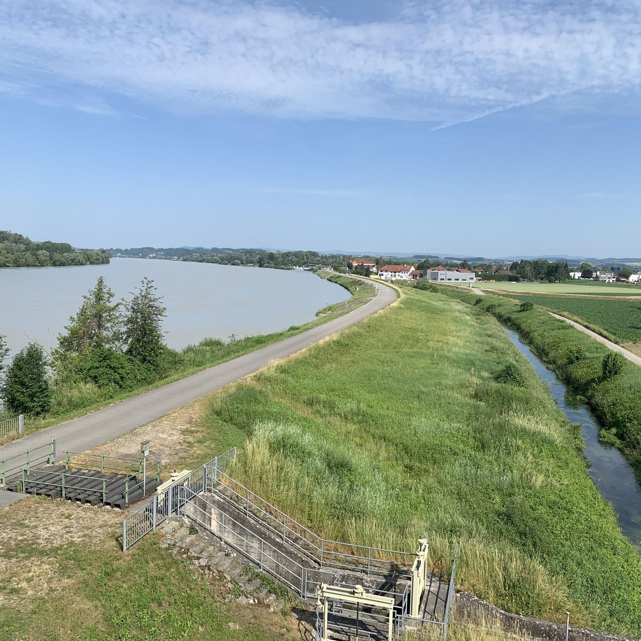
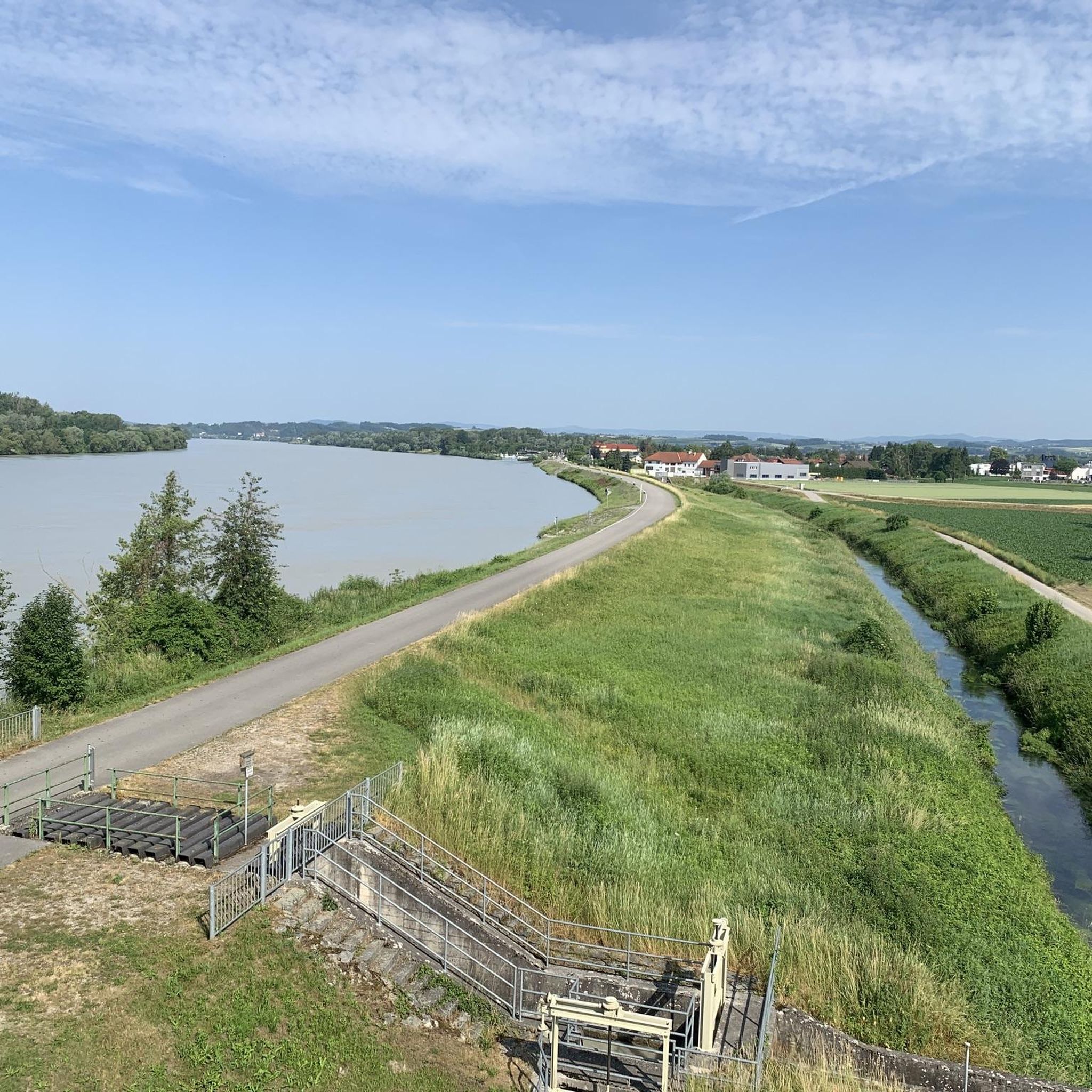
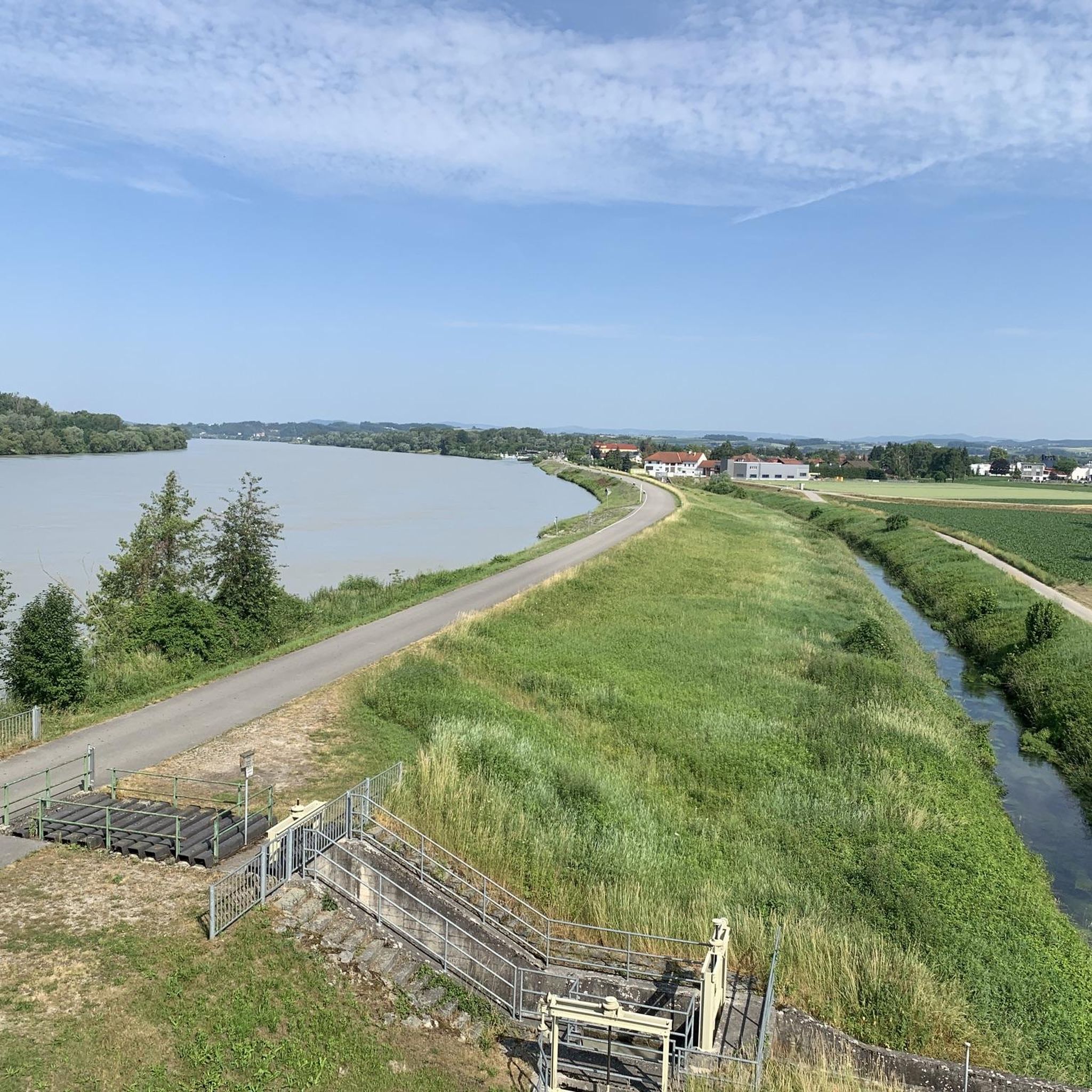
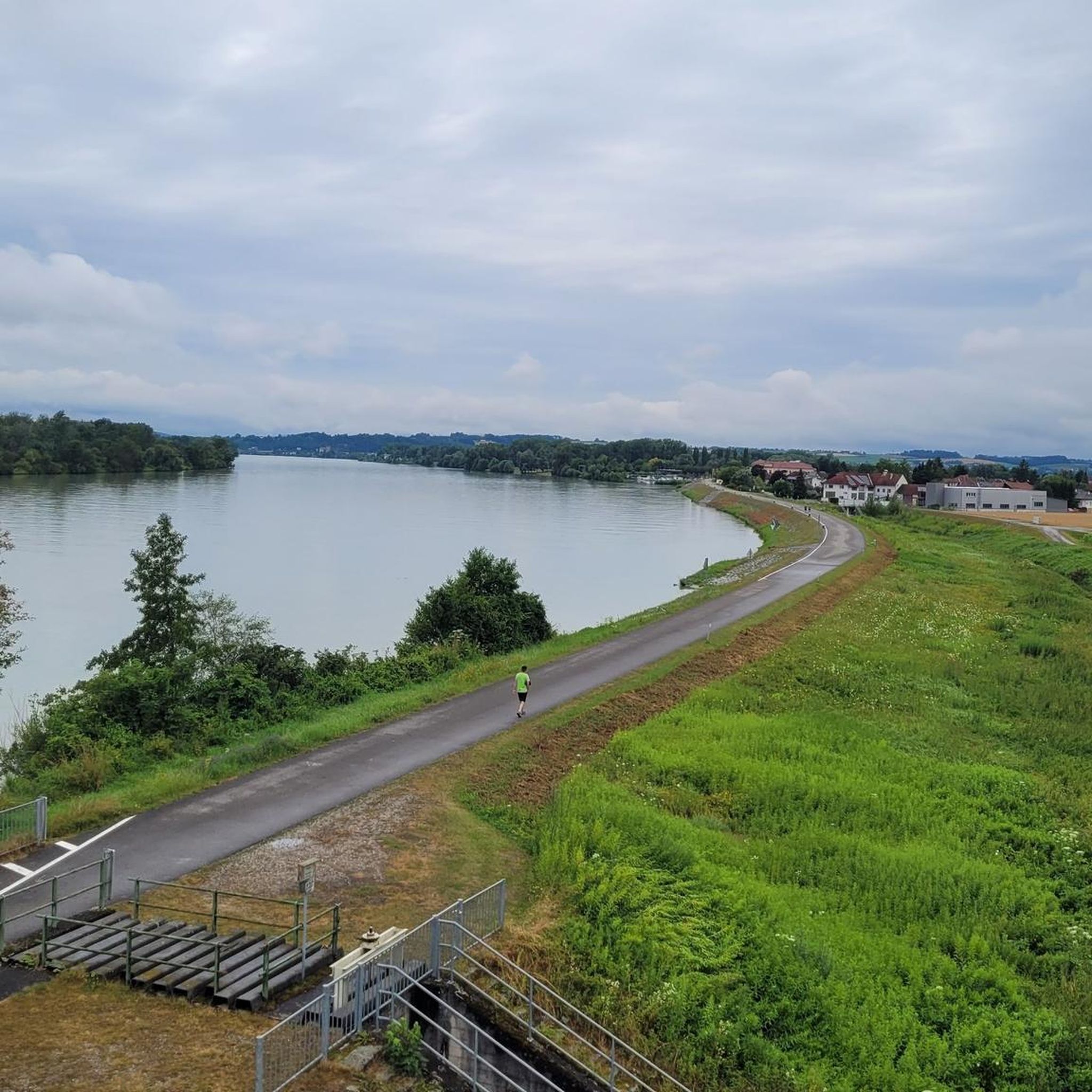
The landscape around Naarn im Machlande is characterized by its proximity to the Danube and Aist rivers. You'll find peaceful riverside paths, open fields, and areas rich in natural beauty. The terrain is mostly flat, offering expansive views of the waterways and surrounding lowlands.
Are there any interesting landmarks or natural attractions along the trails?
Yes, the region offers several points of interest. You can explore natural features like the Weltstein or the Danube Floodplains Near Mitterkirchen. For those interested in history, the Todesstiege and Quarry at Mauthausen Concentration Camp Memorial is also nearby, offering a poignant historical experience.
What is the best time of year to go hiking in Naarn im Machlande?
The best time for hiking in Naarn im Machlande is typically from spring through autumn (April to October). During these months, the weather is generally mild and pleasant, perfect for enjoying the riverside paths and open landscapes. Spring brings blooming nature, while autumn offers beautiful foliage.
Are there suitable trails for winter hiking in Naarn im Machlande?
While the region's flat terrain makes it generally accessible, winter hiking depends on snow conditions. Many riverside paths can be enjoyed in winter, but it's advisable to check local weather and trail conditions beforehand. Some paths might be cleared, while others could be snowy or icy.
Are there circular hiking routes available?
Yes, many of the trails in Naarn im Machlande are designed as circular routes, offering convenient starting and ending points. Examples include the Boatmen and Raftsmen Chapel loop from Au an der Donau and the Aist confluence – Rest Area on the Danube loop from Naarn im Machlande, allowing you to return to your starting point without retracing your steps.
What do other hikers enjoy most about hiking in Naarn im Machlande?
The area is highly rated by the komoot community, with an average score of 4.4 stars from over 400 reviews. Hikers often praise the peaceful riverside paths, the accessibility of the flat terrain, and the scenic views of the Danube and Aist rivers, making it ideal for relaxed walks.
Is parking generally available at the trailheads in Naarn im Machlande?
Yes, parking is typically available at common starting points for hikes in and around Naarn im Machlande, especially in villages like Au an der Donau or near popular attractions. It's always a good idea to check specific route details for designated parking areas.
Are there any viewpoints or elevated spots to enjoy panoramic views?
While the region is generally flat, there are some spots offering elevated perspectives. For example, the View from Altaistberg provides a good vantage point to take in the surrounding landscape. You might also find subtle rises that offer broader views over the rivers and fields.
Most popular routes around Naarn im Machlande
Most popular attractions around Naarn im Machlande

Get inspired with the komoot mobile app


Explore more
Browse the best Hikes in other regions.
