The best walks and hikes around Mülverstedt
4.7
(10519)
35,356
hikers
16
hikes
Hiking around Mülverstedt is primarily defined by its direct access to Hainich National Park, a UNESCO World Heritage site. The region features extensive primeval beech forests, which are part of the largest unused area of deciduous woodland in Germany. These forests provide a diverse natural landscape with varied terrain and elevation changes, characteristic of Central European woodlands.
Best hiking trails around Mülverstedt
- The most popular hiking route is Evening meeting with the Water Vole, a 3.3 miles (5.3 km)…
Last updated: June 28, 2026
4.8
(361)
1,046
hikers
5.32km
01:45
80m
80m
Easy hike. Great for any fitness level. Easily-accessible paths. Suitable for all skill levels.
4.8
(29)
129
hikers
3.37km
00:56
60m
70m
Easy hike. Great for any fitness level. Easily-accessible paths. Suitable for all skill levels.

Sign up for free
4.6
(8)
63
hikers
9.48km
02:36
150m
150m
Moderate hike. Good fitness required. Easily-accessible paths. Suitable for all skill levels.
4.8
(29)
113
hikers
3.86km
01:02
40m
40m
Easy hike. Great for any fitness level. Easily-accessible paths. Suitable for all skill levels.
4.8
(13)
43
hikers
Easy hike. Great for any fitness level. Easily-accessible paths. Suitable for all skill levels.
Get access to more routes and recommendations from other explorers.
Sign up for free
Already have an account?
Our route recommendations are based on thousands of hikes, rides, and runs completed by other people on komoot.
Start today with a free account
Your next adventure awaits.
Login or Signup
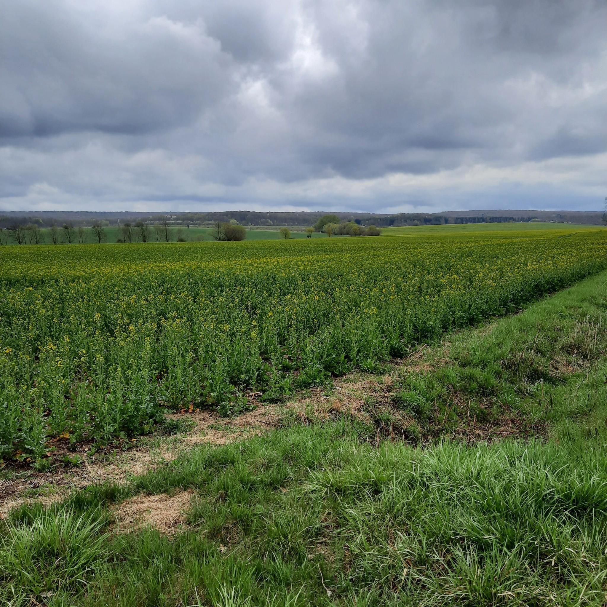
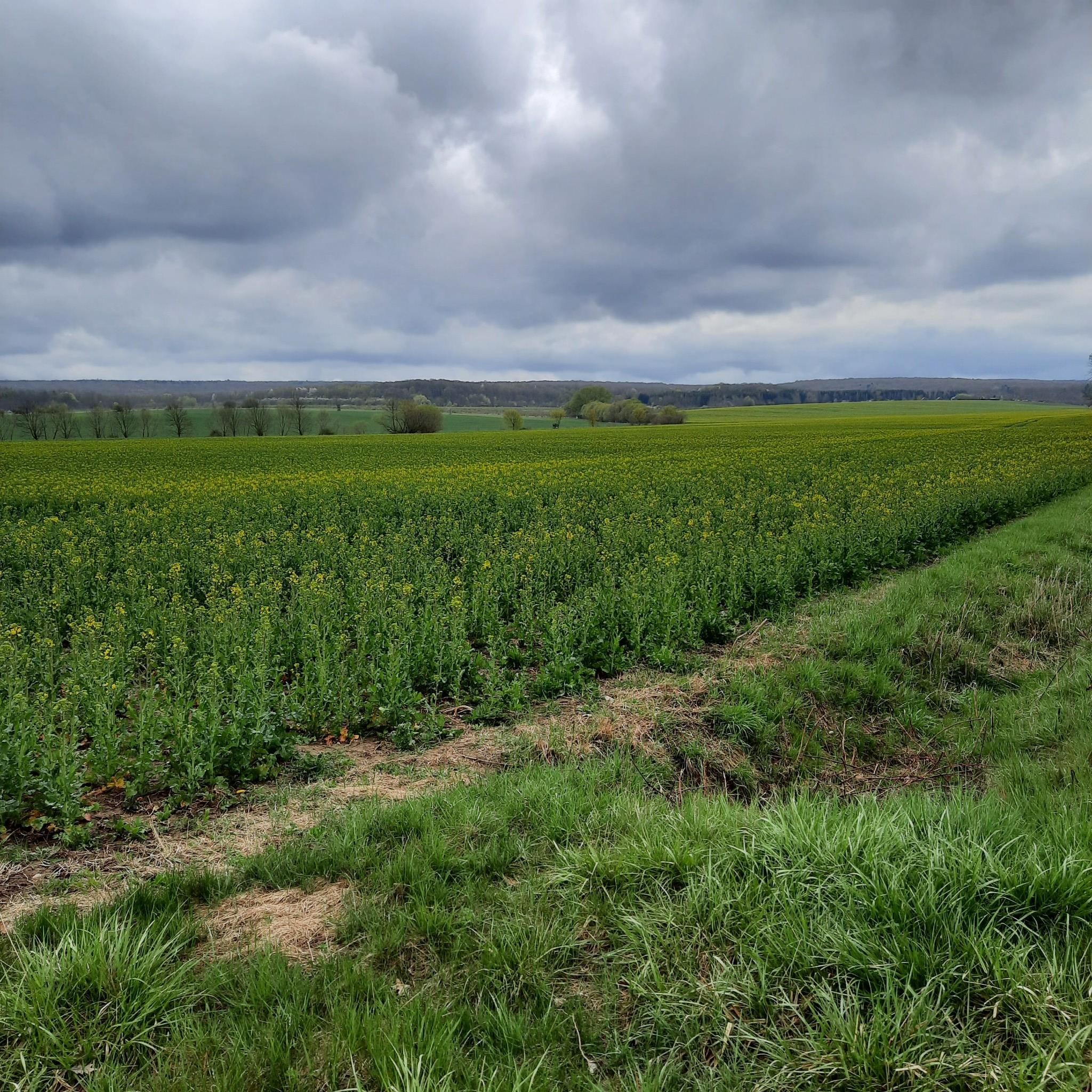


Tips from the Community

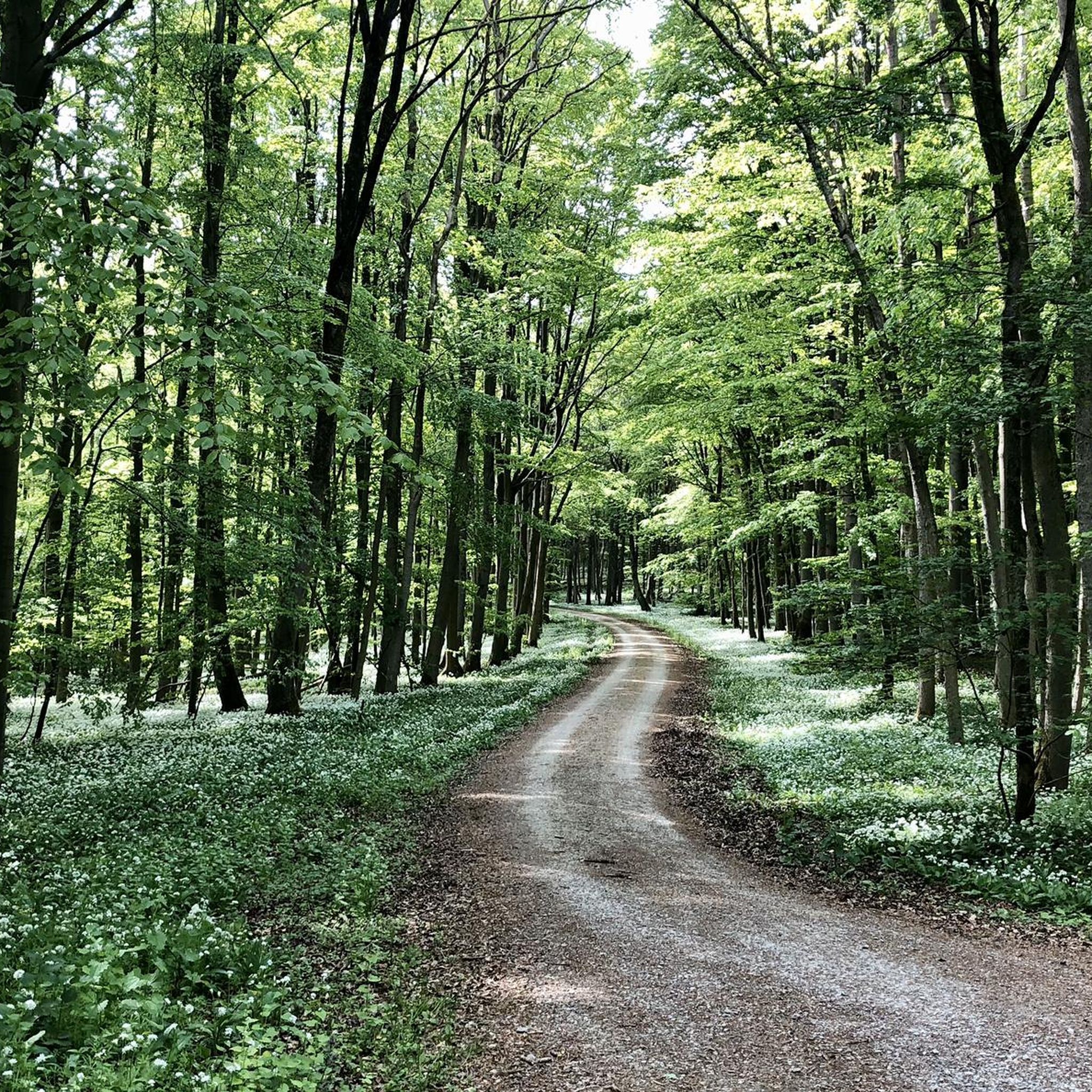
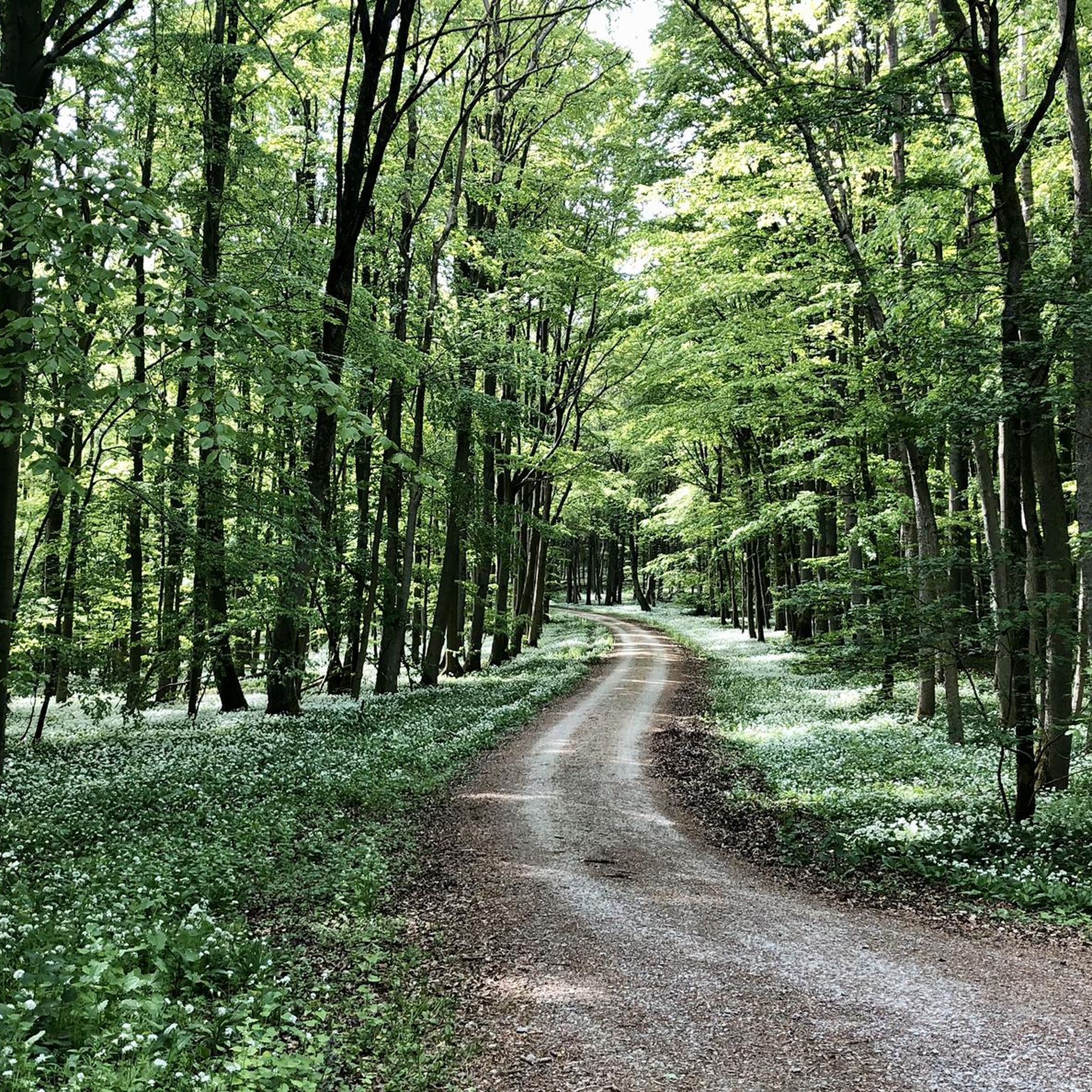
The erosion gully in Hainich National Park impressively shows how water shapes the forest floor during rain. The soils in Hainich consist largely of Muschelkalk - a rock that is easily washed away by water. The water carries material with it, and small rills form. Over time, these develop into erosion gullies like this one. A bridge leads over this gully. In spring, you can admire a sea of wild garlic here. A quiet place where you can enjoy nature and collect the Touringen stamp no. 40 at the same time.
2
0

One of the best paths so far
0
0

These ancient giant trees now serve as food for insects and fungi. The fungi decompose the lignin and cellulose they contain, and the perpetual cycle of growth and decay begins anew.
0
0
A wonderful opportunity to pause for a moment and jot down your thoughts in the book provided. If you don't feel like getting involved, just move on...
0
0

Stamp Touringen 40
1
0
great cabin with memory book
0
0

Stamp box no. 41 is located directly on the hiking trail and not exactly at the environmental education station. If you have children, you should definitely stop by here 😉
1
0

Station 2 on the Germanic Cultural Trail, the Plaggen Altar. An information board at the station explains the history of the object depicted.
0
0
Frequently Asked Questions
How many hiking trails are available around Mülverstedt?
Mülverstedt offers access to a wide network of trails, with over 15 hiking routes available directly from the area. These trails vary in length and difficulty, providing options for different preferences within the Hainich National Park.
Are there easy or family-friendly hiking options near Mülverstedt?
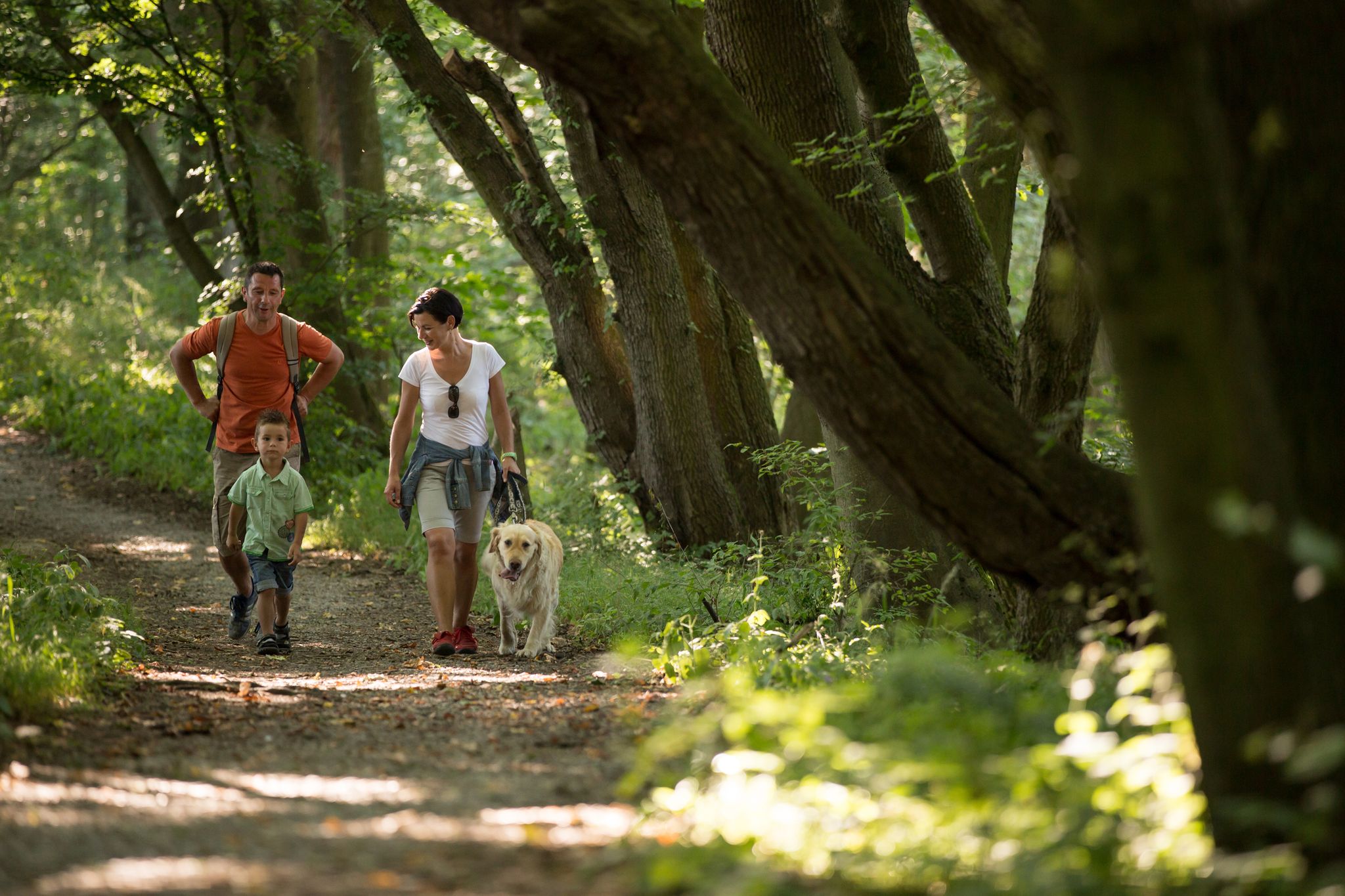
Yes, Mülverstedt is an excellent starting point for easy and family-friendly hikes. Approximately half of the trails in the area are rated as easy. A notable option is the path of encounter, an easy 3.4 km trail in the Brunstal valley designed for an engaging experience with nature, suitable for visitors with and without disabilities. The Hainich National Park also features many signposted paths that are well-suited for families.
What kind of natural features or landmarks can I expect to see on hikes around Mülverstedt?
Hiking around Mülverstedt primarily takes you through the unique primeval beech forests of Hainich National Park, a UNESCO World Heritage site. You'll experience diverse deciduous woodlands and varied terrain. For a unique perspective, consider visiting the Canopy Walk (Baumkronenpfad), which allows you to explore the forest from above. Additionally, you might encounter historical sites like the Frauentor, Rabenturm and the City Wall of Mühlhausen or the Haineck Castle Ruins in the broader region.
Are there any circular hiking routes available in Mülverstedt?
Yes, many of the hiking paths in Hainich National Park, accessible from Mülverstedt, are designed as circular walks. This allows for varied half-day or day tours by combining different paths. For example, the Germanic Cult Path – View of the Thuringian Basin loop from Flarchheim is a popular circular route offering views of the Thuringian Basin.
What is the best time of year to go hiking in Mülverstedt and Hainich National Park?
The Hainich National Park offers a unique experience throughout the year. Spring is particularly beautiful when the forest floor is covered with wild garlic and early bloomers. Autumn provides stunning foliage colors. While winter hiking is possible, trails might be more challenging due to snow or ice, so check conditions beforehand. Summer offers lush greenery and pleasant temperatures for forest walks.
Can I bring my dog on the hiking trails around Mülverstedt?
Generally, dogs are welcome on hiking trails in and around Mülverstedt, particularly within Hainich National Park. However, it is crucial to keep dogs on a leash at all times to protect the diverse wildlife and ensure a pleasant experience for all visitors. Always check specific trail regulations for any exceptions.
What do other hikers enjoy most about hiking in Mülverstedt?
The hiking routes around Mülverstedt are highly rated by the komoot community, with an average score of 4.7 stars from over 3500 reviews. Hikers frequently praise the immersive experience within the primeval beech forests of Hainich National Park, the well-maintained paths, and the sense of undisturbed nature. The variety of trails, from easy walks to more moderate routes, is also a highlight.
Are there any long-distance hiking trails that pass through Mülverstedt?
Yes, Mülverstedt serves as a gateway to several long-distance hiking trails that traverse Hainich National Park. These include routes such as the Waagebalkenweg, Rennstieg, Hainichlandweg, Lutherweg, and the Via Porta pilgrimage route. These trails offer opportunities for multi-day adventures through the region's unique landscapes. More information can be found on the National Park website.
Where can I find parking or access public transport for trailheads near Mülverstedt?
Hainich National Park, which surrounds Mülverstedt, has designated parking areas at various trailheads. Specific parking information is often available on local signage or the National Park's official website. For public transport, regional bus services connect Mülverstedt to nearby towns, but direct access to all trailheads via public transport might be limited. Planning your route in advance and checking local transport schedules is recommended.
Are there any permits required for hiking in Hainich National Park?
No, general hiking in Hainich National Park does not require a permit. The park is freely accessible to visitors. However, if you wish to participate in guided walks or specific themed excursions offered by the National Park, it is advisable to check their schedule and booking requirements on the official National Park website.
Are there cafes or pubs near the hiking trails in Mülverstedt?
While Mülverstedt itself offers some local amenities, options directly adjacent to trailheads within the dense Hainich National Park might be limited. It's advisable to plan for refreshments before or after your hike in Mülverstedt or nearby villages. Some larger visitor centers within the National Park may also offer facilities.
Most popular routes around Mülverstedt
Most popular attractions around Mülverstedt

Get inspired with the komoot mobile app


Explore more
Browse the best Hikes in other regions.
