The best walks and hikes around Mügeln
4.5
(123)
557
hikers
87
hikes
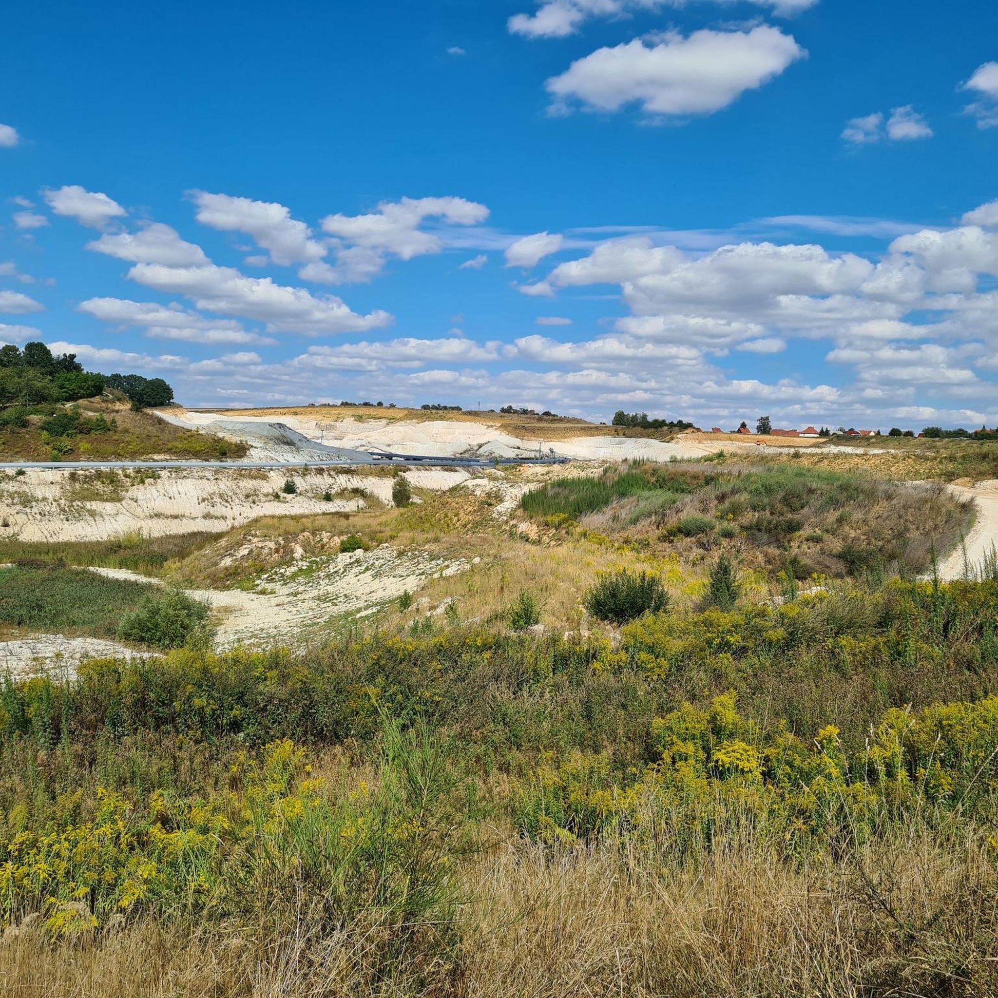
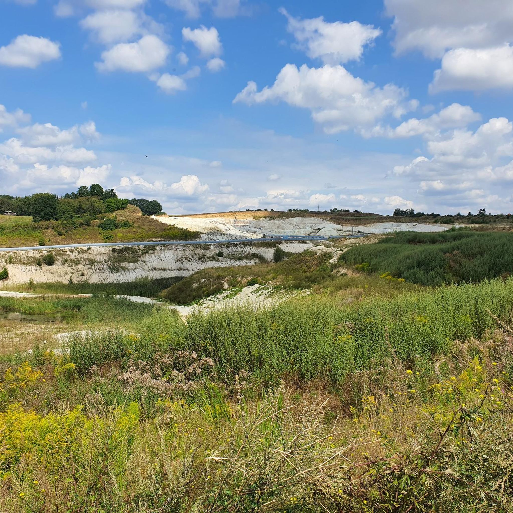
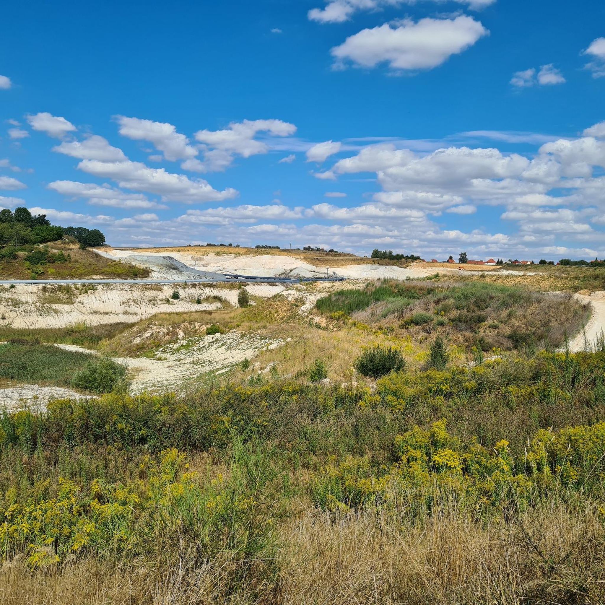
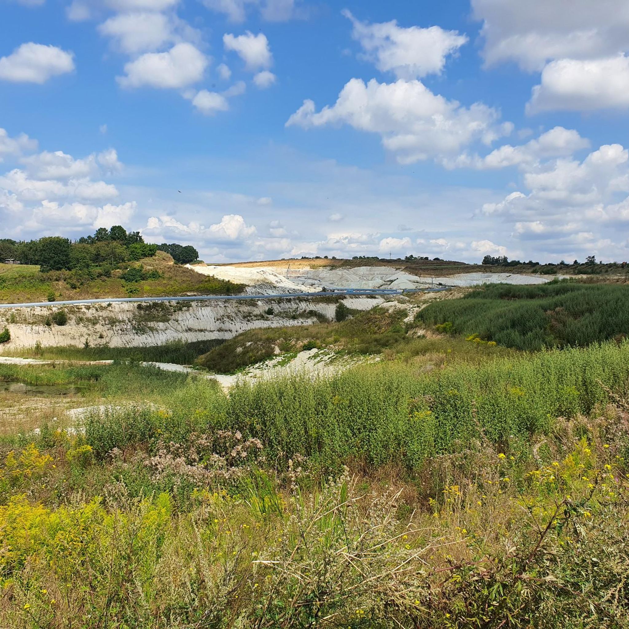
Hiking around Mügeln offers diverse landscapes characterized by rolling hills, expansive orchards, and woodlands within the Döllnitztal. The region is part of the Porphyrland Geopark, showcasing a unique geological history. Hikers can explore areas around picturesque lakes, including a renatured former kaolin mining site near Kemmlitz. This varied terrain provides a scenic backdrop for outdoor activities.
Best hiking trails around Mügeln
- The most popular hiking route is Alpacas in Remsa – Bench Near Rehsa and Wadewitz loop from Wetteritz,…
Last updated: June 26, 2026
4.5
(6)
69
hikers
Easy hike. Great for any fitness level. Easily-accessible paths. Suitable for all skill levels.
4.5
(6)
60
hikers
4.02km
01:04
40m
40m
Easy hike. Great for any fitness level. Easily-accessible paths. Suitable for all skill levels.

Sign up for free
4.6
(8)
26
hikers
Easy hike. Great for any fitness level. Easily-accessible paths. Suitable for all skill levels.
4.6
(10)
32
hikers
9.01km
02:21
60m
60m
Moderate hike. Good fitness required. Easily-accessible paths. Suitable for all skill levels.
3.0
(1)
18
hikers
4.52km
01:10
20m
20m
Easy hike. Great for any fitness level. Easily-accessible paths. Suitable for all skill levels.
Get access to more routes and recommendations from other explorers.
Sign up for free
Already have an account?
Our route recommendations are based on thousands of hikes, rides, and runs completed by other people on komoot.
Start today with a free account
Your next adventure awaits.
Login or Signup


Tips from the Community

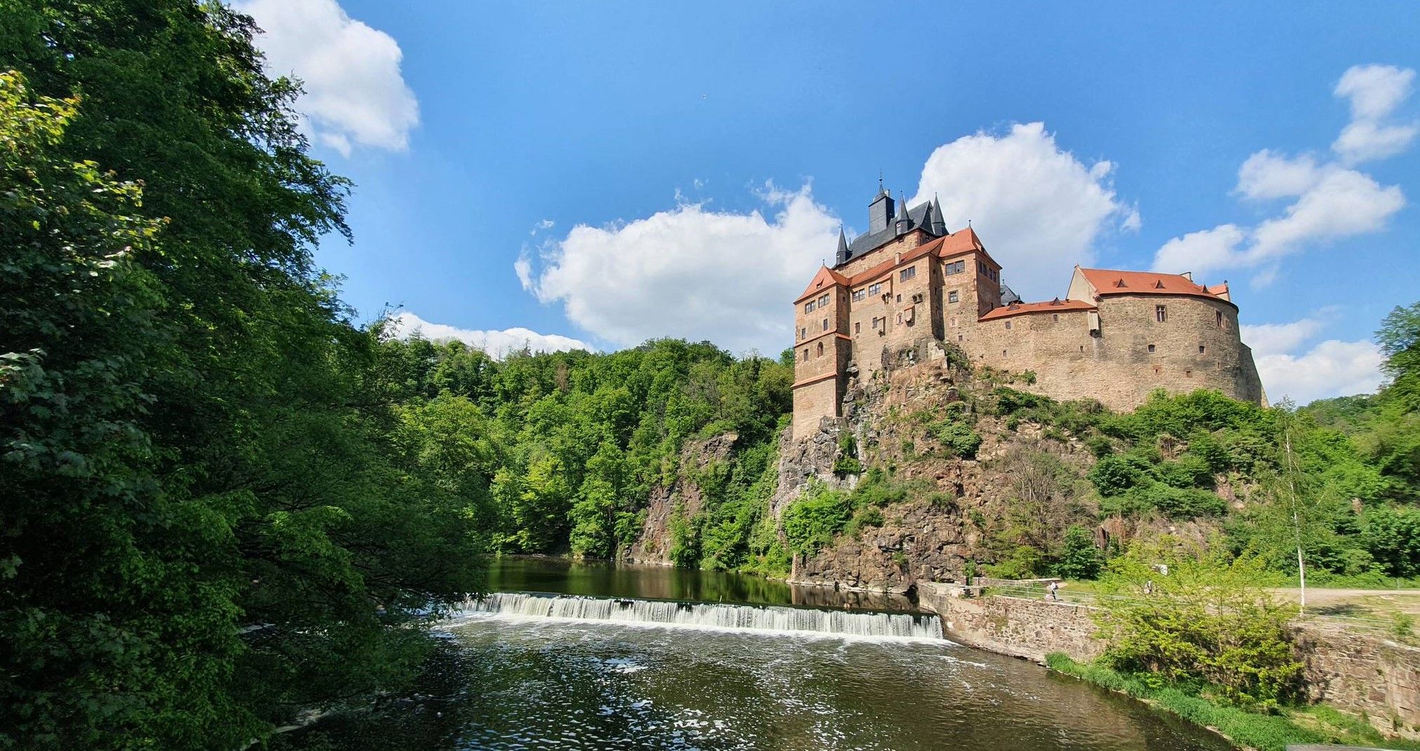
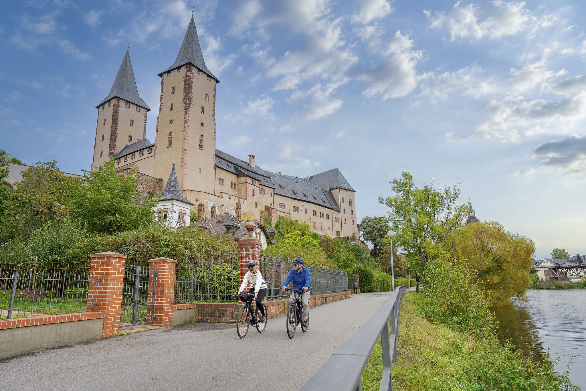
Schloss Ruhethal was built in the 12th century in the Döllnitztal valley as the seat of the bishops of Meißen and was built on the site of an older moated castle. In the 13th and 14th centuries, the complex was expanded several times, during which the striking approximately 40-meter-high tower was also built. After the Hussite Wars, further conversions took place before Bishop Johann IX. von Haugwitz had the castle expanded into its present form in 1572. Around 1590, it served as his retirement residence, from which the name "Ruhethal" originated. Later, the castle was used as an administrative and judicial building and today stands as a significant cultural monument under monument protection (privately owned).
0
0

looks nice, listed on Komoot as a drinking fountain, but: "No drinking water"
0
0

Remsa was first mentioned in 1350 and today consists of two listed four-sided farmsteads from the 19th century. With a current population of eight, Remsa is one of the smallest towns in Saxony. Since January 1, 2011, Remsa has been a district of the town of Mügeln. Source: https://www.alpacas.de/ueber-uns/standort-remsa
1
0
Arched bridge in porphyry tuff over the Döllnitz, marked 1934
0
0
The Mügeln moated castle is located on a small hill between the Döllnitz and Mühlgraben rivers. The 11th century structure was replaced by a castle in 1341, with the outer fortifications gradually being demolished. Before the castle was built, there was a residential tower here. The horseshoe-shaped castle building has a round castle tower on the northwest corner, which is said to have been built as a watchtower in 1381 during the Priests' Wars. Since 2006, a support association has been trying to make the castle accessible to the public. Source: https://burgenarchiv.de/burg_muegeln_in_sachsen
2
0
Not far from the town hall on the Altmarkt is the historic fountain statue of Heinrich von Mügeln, which was created by the sculptor Joachim Zehme in 2005. The fable writer and minstrel, born in Mügeln around 1319, was one of the twelve most influential master singers of the Middle Ages, alongside poets such as Walther von der Vogelweide. Source: https://www.leipzig.travel/recherchetext/muegeln-geoportal-mit-gleisanschluss
0
0
In 1726, the small town in central Saxony received a distance column that was originally located on the market square. After being moved several times, it is now located at the former Lommatzsch city gate. In 1979, a comprehensive restoration took place. The incorrect location and distance information that had been carved in during the restoration in 1956 due to the original inscription being illegible was corrected.
0
0

Note 800 years of Grauschwitz and Pausenbank.
1
0
Frequently Asked Questions
How many hiking trails are available around Mügeln?
Mügeln offers a comprehensive network of over 90 hiking trails, catering to various preferences. The majority, around 57, are considered easy, with 36 moderate options and a few more challenging routes for experienced hikers.
What is the best time of year to go hiking in Mügeln?
The most pleasant seasons for hiking in Mügeln are spring and autumn. In spring, the extensive orchards burst into blossom, offering vibrant scenery. Autumn brings colorful foliage and comfortable temperatures, ideal for longer walks.
What kind of terrain can I expect on hikes around Mügeln?
Hiking around Mügeln features diverse landscapes, including the rolling hills of the Döllnitztal, picturesque lakes, and expansive orchards. The region is also part of the Porphyrland Geopark, showcasing unique geological formations. You'll find a mix of gentle paths through woodlands and open fields.
Are there easy hiking trails suitable for beginners or families in Mügeln?
Yes, Mügeln has many easy trails perfect for beginners and families. For instance, the Ruhetal Castle Mügeln – Engagement Bridge loop from Mügeln is an easy 4.5 km route. The region also offers interactive experiences like the 'Sumpfgebiet Tiefthal' nature trail and an app-based adventure on the Obstland-Radroute II, which are great for younger explorers.
What natural attractions can I discover while hiking in Mügeln?
Hikers can explore the unique landscape of the Porphyrland Geopark and visit a renatured former kaolin mining site near Kemmlitz, which now features a large lake and informational panels. Additionally, you can find several scenic lakes, such as Carl Pond (Silver Lake) and Horst Lake, perfect for nature lovers.
Are there historical sites or landmarks to see on the trails around Mügeln?
Absolutely. Several sections of the Lutherweg Saxony pass through Mügeln, connecting to historic towns. You can visit the well-preserved Albert Tower on the Collmberg for panoramic views, or explore the historic Sornzig Monastery (Marienthal Nunnery), dating back to 1241. The historic old town of Mügeln itself is also worth exploring.
Are there any viewpoints with panoramic views in the Mügeln area?
Yes, for fantastic panoramic views, you can hike to the Albert Tower on the Collmberg. Standing 18 meters high on the 312-meter-high Collmberg, it offers expansive vistas of the surrounding landscape. Other viewpoints like View of Collm Hill also provide great perspectives.
What do other hikers enjoy most about hiking in Mügeln?
The hiking routes in Mügeln are highly rated by the komoot community, with an average score of 4.5 stars from over 100 reviews. Hikers often praise the diverse landscapes, from rolling hills and orchards to tranquil woodlands, and the well-maintained paths that offer options for both easy walks and moderate excursions.
Are there circular hiking routes available in Mügeln?
Yes, many routes around Mügeln are circular, allowing you to start and end at the same point. An example is the Fossil Lake Börtewitz – Petrified Lake Börtewitz loop from Ablaß, a moderate 9 km trail that takes you through the renatured kaolin mining area.
Can I bring my dog on the hiking trails around Mügeln?
Mügeln's natural landscapes, with its woodlands and open paths, are generally welcoming for dogs. Many trails are suitable for walks with your canine companion, but it's always advisable to keep dogs on a leash, especially near wildlife or in agricultural areas, and to respect local regulations.
Is there public transport access to hiking trailheads in Mügeln?
While Mügeln has a local train station, specific public transport connections directly to all trailheads can vary. It's recommended to check local bus schedules or consider starting your hike from the town center, which often serves as a hub for various routes.
Are there any specific themed trails in the Mügeln area?
Yes, the 'Path to Kaolin' Nature Trail is a themed route that provides insights into the material kaolin, leading to a viewpoint overlooking the kaolin open-pit mine. This trail offers an educational and scenic experience, highlighting the region's unique geological history.
Most popular attractions around Mügeln

Get inspired with the komoot mobile app


Explore more
Browse the best Hikes in other regions.
