The best walks and hikes around Mottener Forst-Süd
4.6
(4740)
17,360
hikers
580
hikes
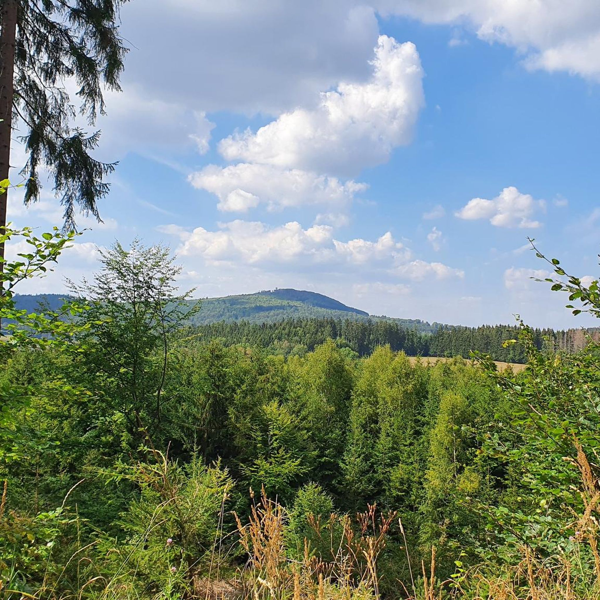
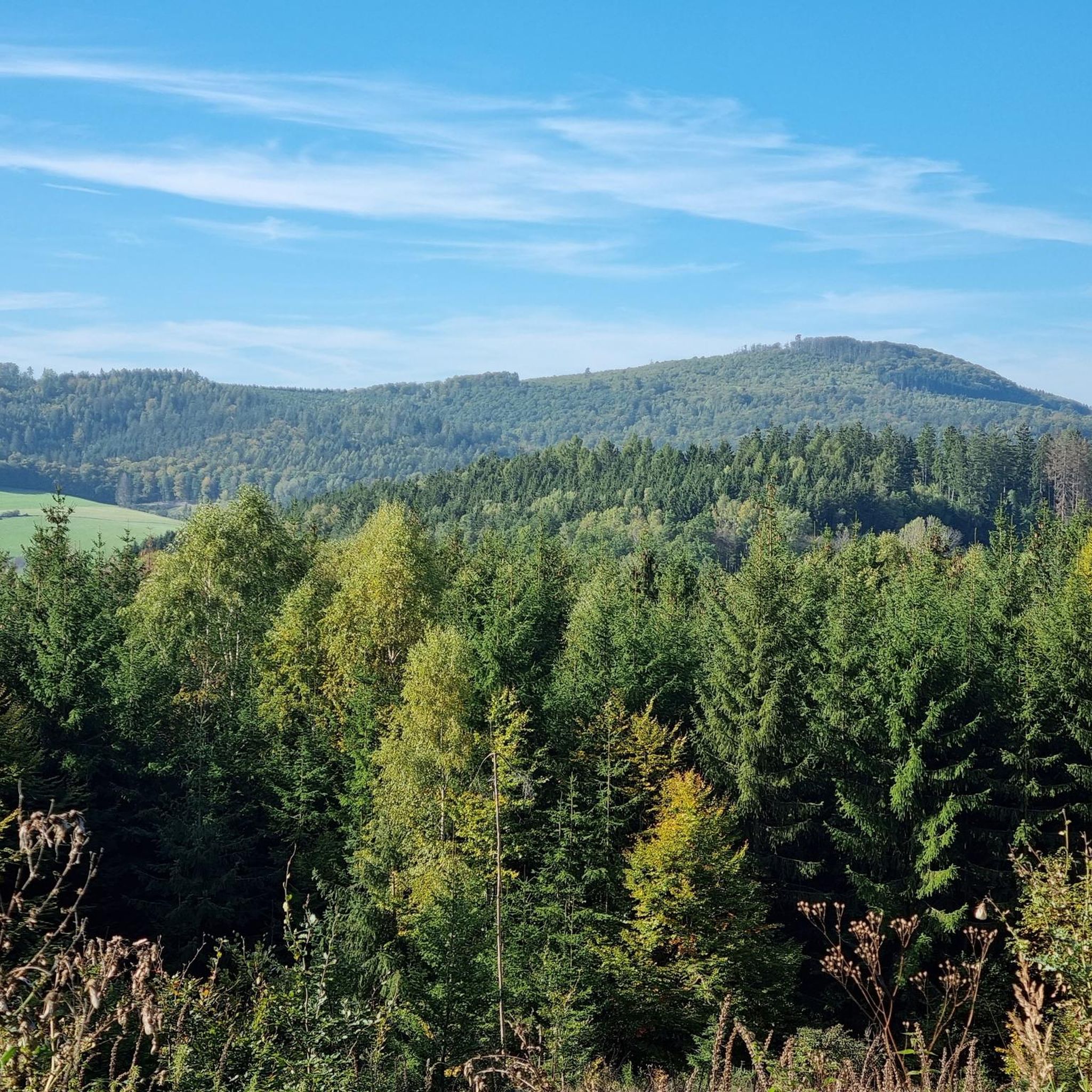
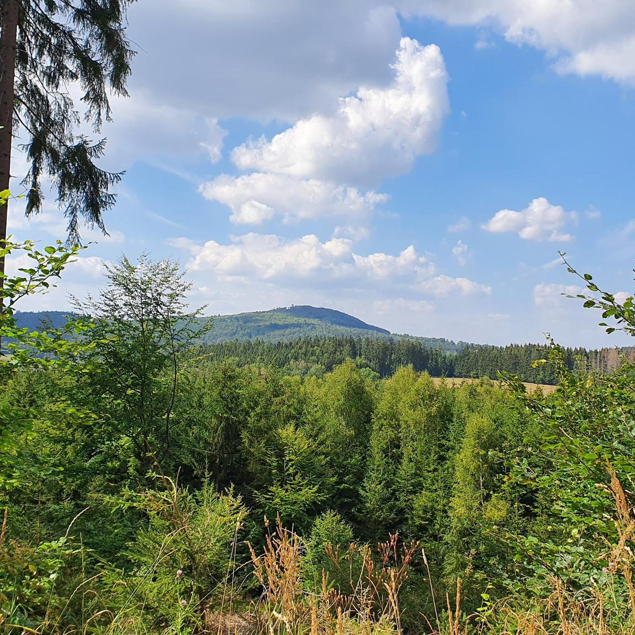
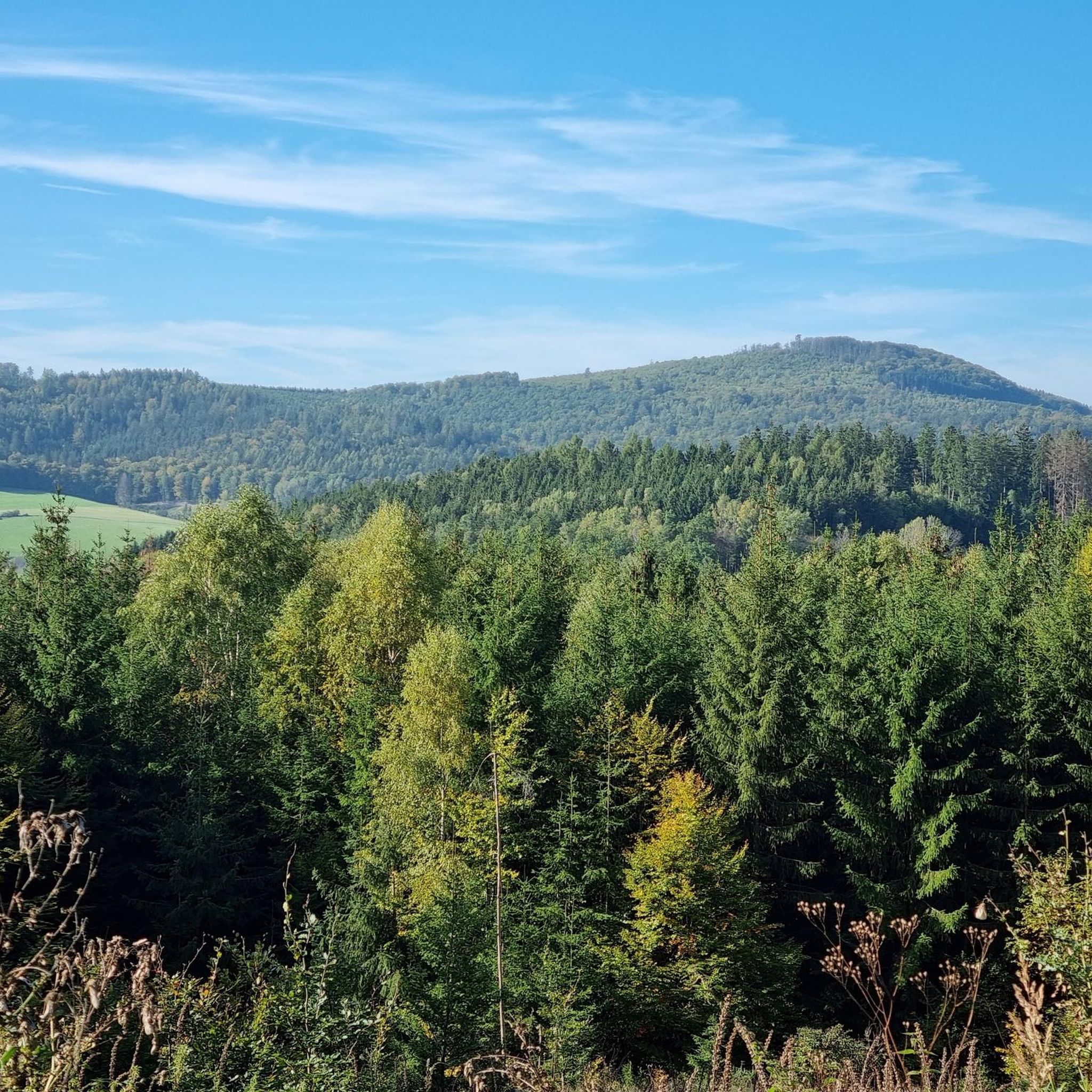
Hiking around Mottener Forst-Süd offers access to a densely forested area within the Bavarian Rhön, spanning over 5 km². This region is part of both the Black Mountains Nature Reserve and the broader Rhön Biosphere Reserve. The terrain features natural beauty and diverse landscapes, providing an extensive network of hiking paths.
Best hiking trails around Mottener Forst-Süd
- The most popular hiking route is Extra tour "Der Mottener": Motten – Rhön, a 10.6 miles (17.1 km) trail that takes 5…
Last updated: July 1, 2026
4.6
(108)
399
hikers
17.1km
05:01
470m
470m
Hard hike. Very good fitness required. Mostly accessible paths. Sure-footedness required.
4.6
(50)
159
hikers
11.7km
03:26
310m
310m
Moderate hike. Good fitness required. Mostly accessible paths. Sure-footedness required.

Sign up for free
4.8
(10)
30
hikers
5.82km
01:40
130m
130m
Easy hike. Great for any fitness level. Easily-accessible paths. Suitable for all skill levels.
4.6
(5)
14
hikers
10.6km
02:59
220m
220m
Moderate hike. Good fitness required. Easily-accessible paths. Suitable for all skill levels.
4.3
(6)
21
hikers
8.03km
02:24
230m
230m
Moderate hike. Good fitness required. Easily-accessible paths. Suitable for all skill levels.
Get access to more routes and recommendations from other explorers.
Sign up for free
Already have an account?
Our route recommendations are based on thousands of hikes, rides, and runs completed by other people on komoot.
Start today with a free account
Your next adventure awaits.
Login or Signup

Tips from the Community

A fantastic view from a huge bench. Donated by the Motten Volunteer Fire Department.
0
0

A nice place to linger 😇
2
0

These paths can be found quite often!
0
0


Here you can take a great break with a wonderful view. The bench is pretty high though!
6
0
One of three picture frames on the extra tour "Der Mottener". From this point you have a great view of the Pilsterstein.
6
0
Nice rest area with selfie point picture frame. There is also a viewpoint of the Rhön Star Park here.
8
0

The Pilsterquelle / Sauerbrunnen is a mineral-rich spring. The composition is explained on the information board. The legend of the White Woman is also described there. To get to the source you have to climb down a few steps in the pavilion-like building.
1
0
Frequently Asked Questions
How many hiking trails are available in Mottener Forst-Süd?
Mottener Forst-Süd offers an extensive network of over 580 hiking routes. These include more than 260 easy trails, 300 moderate paths, and nearly 20 difficult routes, ensuring options for all skill levels.
Are there any easy or family-friendly hiking trails in Mottener Forst-Süd?
Yes, the region has over 260 easy routes, many of which are suitable for families. A good option for a shorter, less strenuous walk is the Mottener Extra Tour – View of Speicherz Valley loop from Speicherz, which is 3.6 miles (5.8 km) long and takes about 1 hour 40 minutes.
What kind of natural features and landmarks can I expect to see while hiking?
Mottener Forst-Süd is rich in natural beauty and offers several points of interest. You can visit the nearly 24-meter-high Mottener Haube Observation Tower for panoramic views of the Rhön mountains. Other notable features include the geological formation of Basalt Lake Tintenfass and numerous scenic viewpoints throughout the area. You might also encounter historic border stones dating back to 1729.
Are there any circular hiking routes in Mottener Forst-Süd?
Yes, many of the trails in Mottener Forst-Süd are circular routes. For example, the moderate Old Quarry of Motten – XXL Bench Motten loop from Speicherz is a 7.2-mile (11.7 km) circular path that explores the area around an old quarry. Another option is the Pilsterstein Viewpoint – Mottener Extra Tour loop from Speicherz, which is 10.5 km long.
What do other hikers say about the trails in Mottener Forst-Süd?
The trails in Mottener Forst-Süd are highly regarded by the komoot community, with an average rating of 4.7 stars from over 4,400 reviews. Hikers frequently praise the dense woodlands, diverse landscapes, and the well-maintained network of paths that cater to various abilities.
Are there any challenging routes for experienced hikers?
Yes, for experienced hikers seeking a challenge, there are nearly 20 difficult routes. A notable option is the Extra tour "Der Mottener": Motten – Rhön, a 10.6-mile (17.1 km) trail with significant elevation gain through the Rhön landscape, typically taking over 5 hours to complete.
Is Mottener Forst-Süd suitable for dog-friendly hiking?
Mottener Forst-Süd, being part of a nature reserve, generally welcomes dogs on trails. However, it's always recommended to keep dogs on a leash to protect wildlife and ensure a pleasant experience for all hikers. Specific regulations may apply in certain areas, so check local signage.
Where can I find parking for hiking trails in Mottener Forst-Süd?
Many trailheads offer parking facilities. The Rhön Mountain Lodge (Rhönberghütte), for instance, provides free hiking parking, making it a convenient starting point for various routes in the area.
Are there any mountain huts or places to eat along the trails?
Yes, welcoming mountain huts like the Rhön Mountain Lodge (Rhönberghütte) and the Würzburger Karl-Straub-Haus (Würzburger Haus) serve as excellent intermediate destinations. They often provide food and refreshments, enhancing the hiking experience.
What is the best time of year to go hiking in Mottener Forst-Süd?
Mottener Forst-Süd offers beautiful hiking experiences throughout the year. Spring brings lush greenery, summer provides pleasant forest shade, and autumn showcases vibrant foliage. Winter hiking is also possible, but conditions can vary, so it's advisable to check weather forecasts and trail conditions beforehand.
Are there any nearby attractions or points of interest outside of the main hiking trails?
Beyond the immediate hiking trails, you can explore nearby attractions. For history enthusiasts, there are several castles in the wider region, such as the Ruins of Schwarzenfels Castle or Römershag Castle. The Bad Brückenau Spa Park, a natural monument with historical buildings and diverse tree species, is also a must-see nearby.
How long do hikes in Mottener Forst-Süd typically take?
Hike durations vary significantly depending on the route's length and difficulty. Shorter, easy trails like the Mottener Extra Tour – View of Speicherz Valley loop from Speicherz can be completed in about 1 hour 40 minutes, while longer, difficult routes such as the Extra tour "Der Mottener": Motten – Rhön can take over 5 hours.
Most popular attractions around Mottener Forst-Süd

Get inspired with the komoot mobile app


Explore more
Browse the best Hikes in other regions.
