The best MTB trails around Mörfelden-Walldorf
4.4
(173)
581
riders
79
rides
Mountain biking around Mörfelden-Walldorf offers diverse terrain within the Rhine-Main metropolitan area. The region is characterized by extensive forests, numerous lakes, and a relatively flat topography, making it accessible for various cycling experiences. A dedicated mountain bike track at Wernertanne provides specific facilities for riders. The area is integrated into the Regional Park RheinMain, featuring a network of trails.
Best mountain bike trails around Mörfelden-Walldorf
- The most popular mountain bike trail is Gehspitz Pond – North Shore of Jacobi Pond…
Last updated: August 25, 2026
4.8
(24)
51
riders
42.5km
02:39
170m
170m
Moderate mountain bike ride. Good fitness required. Suitable for all skill levels.
4.7
(15)
30
riders
35.9km
02:21
180m
180m
Moderate mountain bike ride. Good fitness required. Advanced riding skills necessary.

Sign up for free
4.9
(29)
43
riders
27.4km
01:42
130m
130m
Moderate mountain bike ride. Great for any fitness level. Advanced riding skills necessary.
4.3
(4)
17
riders
Easy mountain bike ride. Great for any fitness level. Suitable for all skill levels.
5.0
(1)
9
riders
Moderate mountain bike ride. Good fitness required. Suitable for all skill levels.
Get access to more routes and recommendations from other explorers.
Sign up for free
Already have an account?
Our route recommendations are based on thousands of hikes, rides, and runs completed by other people on komoot.
Start today with a free account
Your next adventure awaits.
Login or Signup
Popular around Mörfelden-Walldorf
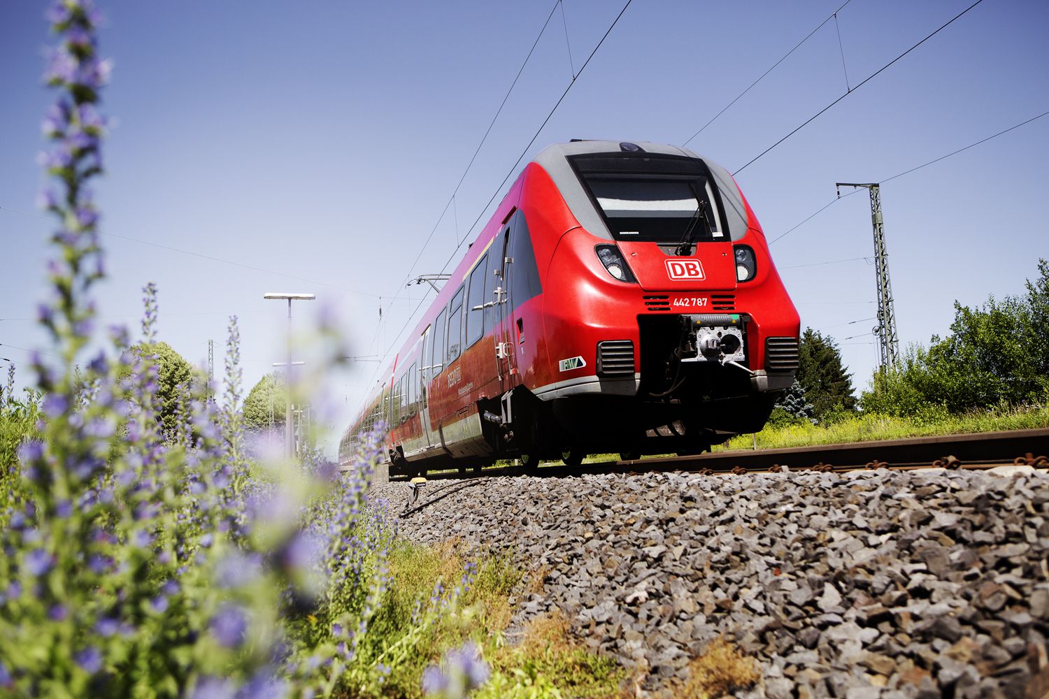
Into the countryside! — hike with Germany’s Rhine-Main Transport Network
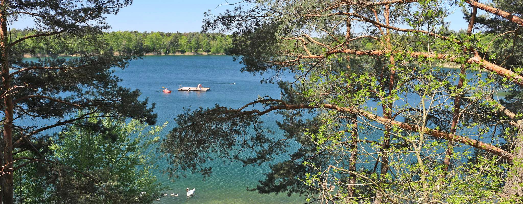
The most popular swimming lakes in Hesse
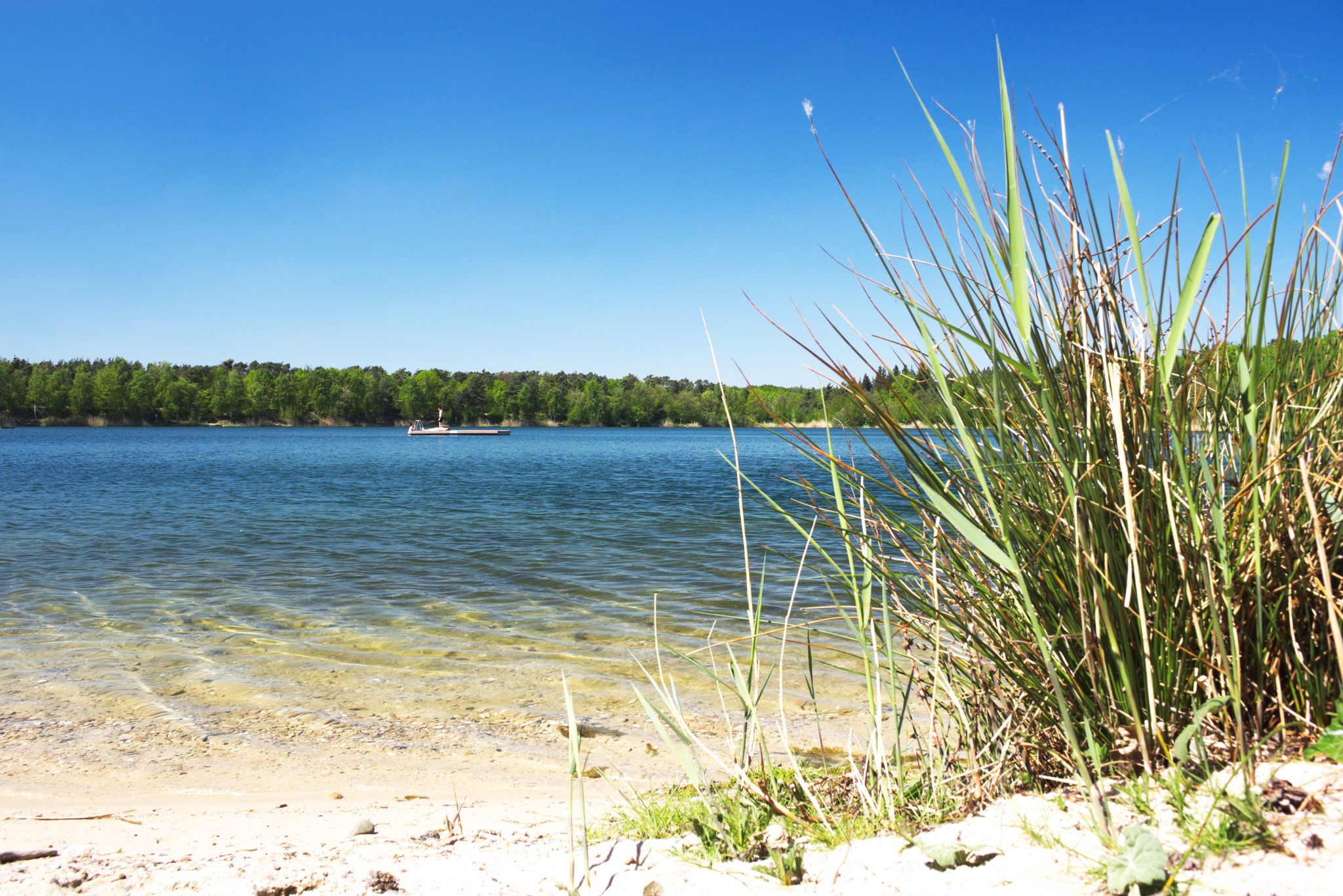
The best swimming lakes around Frankfurt
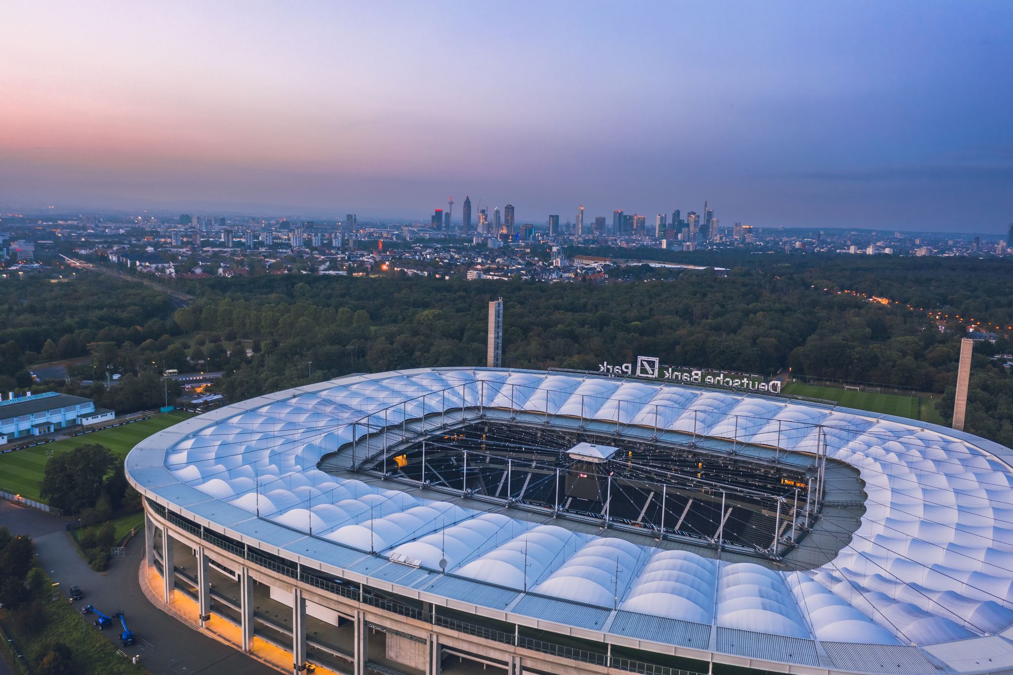
Adlerrouten – Mit dem Rad zum Waldstadion
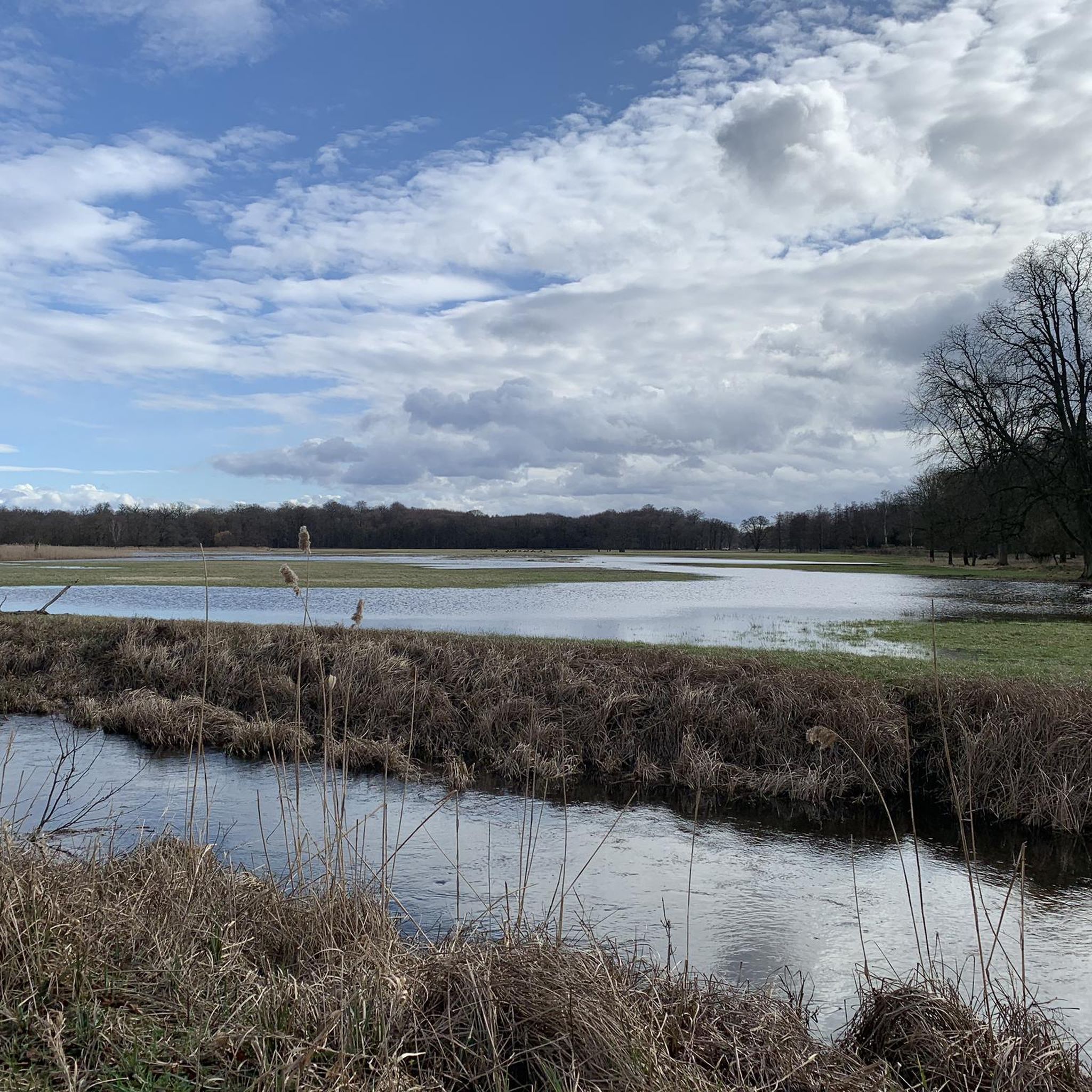
Cycling around Mörfelden-Walldorf
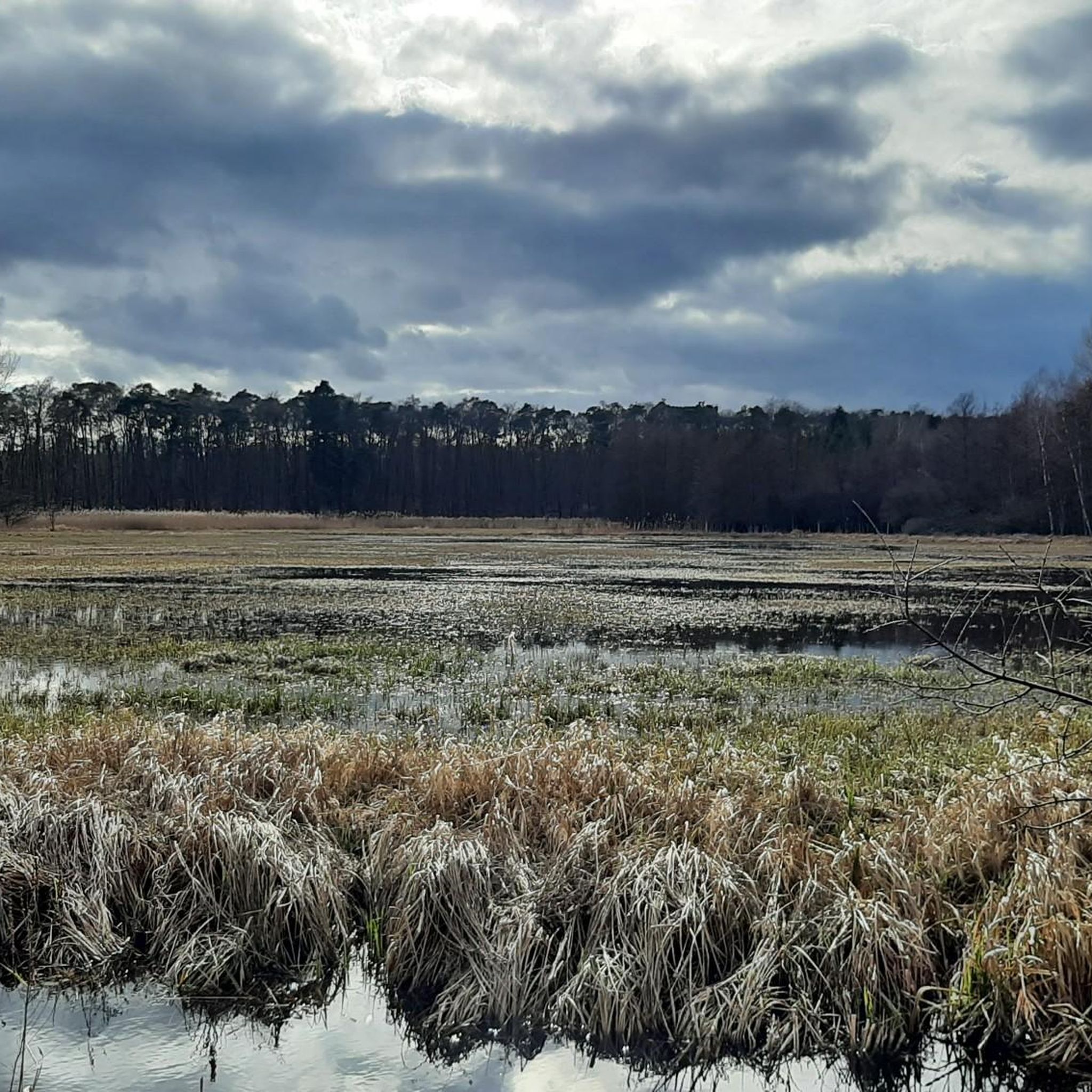
Hiking around Mörfelden-Walldorf
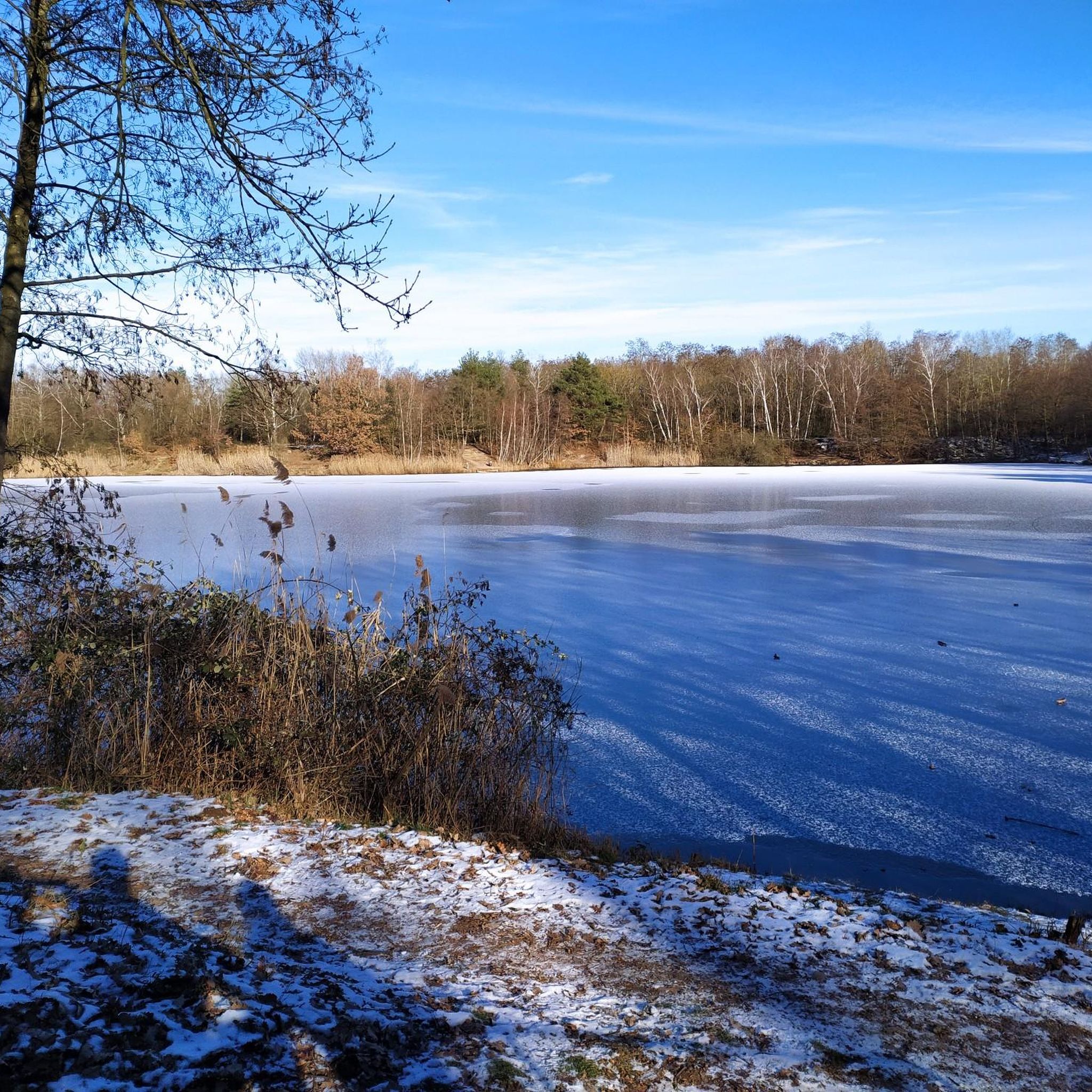
Road Cycling Routes around Mörfelden-Walldorf
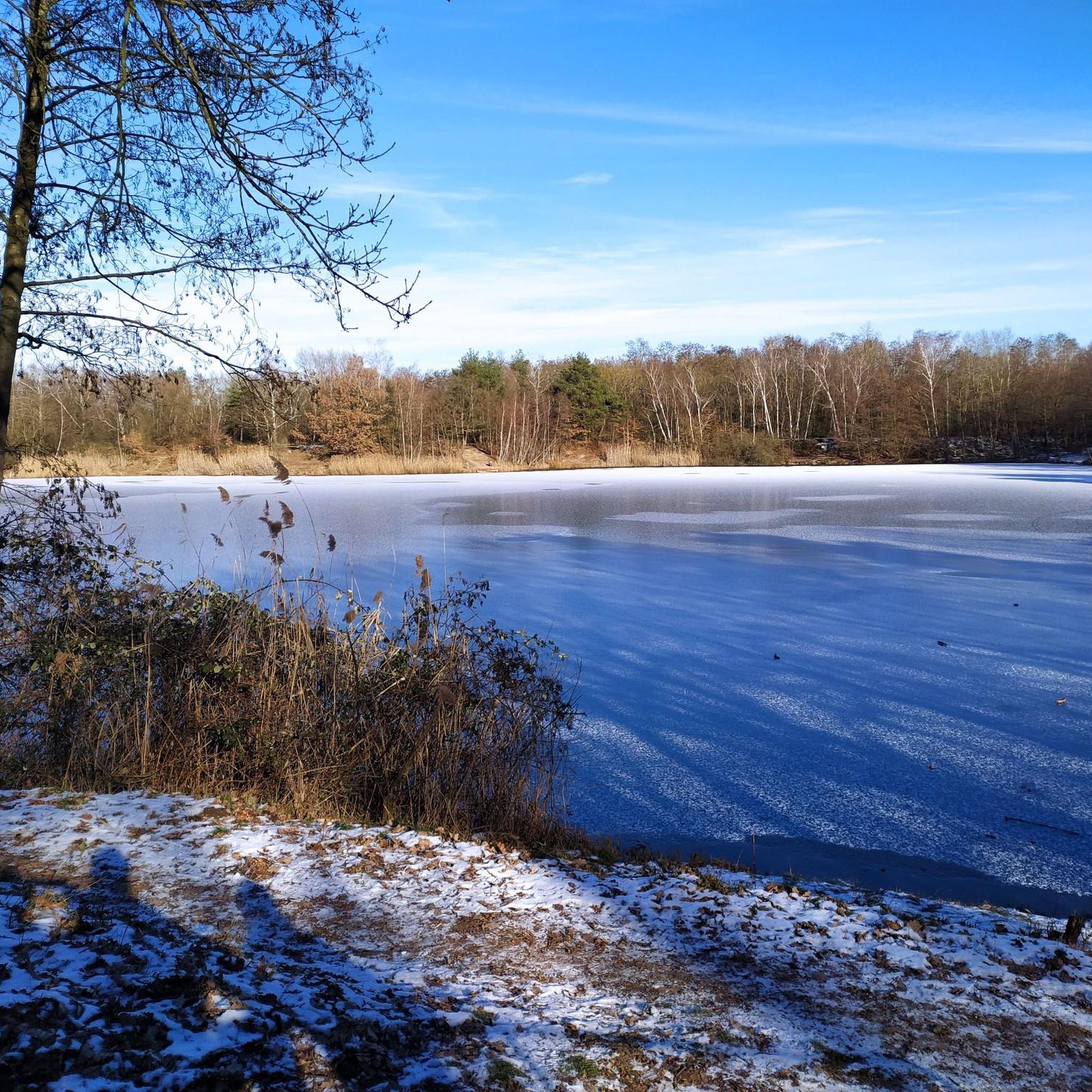
Running Trails around Mörfelden-Walldorf
Gravel biking around Mörfelden-Walldorf
Other adventures around Mörfelden-Walldorf


Tips from the Community

Very nice section of the Main river.
0
0

It's nice cycling along the Schwanheimer Ufer.
2
0

The headquarters of the European Central Bank is located in the Ostend district of Frankfurt am Main. The European Central Bank (ECB) moved into the building complex at the end of 2014. It consists of three elements: the former Großmarkthalle from 1928, a 185-meter-high north tower and a 165-meter-high south tower, which together with an antenna on the north tower reach a total height of 201 meters and are collectively referred to as the „Skytower“, as well as an entrance structure that connects the hall and the towers.[1] The architect is Wolf D. Prix of Coop Himmelb(l)au.
0
0

The Eiserne Steg is one of Frankfurt's most famous sights and has connected the historic old town on the Römerberg with the Sachsenhausen district for over 150 years. Here are the most important details at a glance: History & Construction Opening: The bridge was inaugurated on September 29, 1869. It was created through a private initiative of Frankfurt citizens, who also financed the construction. Construction: It is an approximately 170-meter-long steel truss structure (a stiffened suspension bridge). Reconstruction: It was blown up in World War II in 1945, but rebuilt as early as 1946 and extensively renovated in 1993. Special Features Homer quote: A quote from Homer's Odyssey in Greek letters adorns the bridge arch: "Sailing on wine-dark sea to people of a different language". Love locks: Similar to Paris, an estimated five tons of love locks (approx. 50,000 pieces) hang on the railing, earning it the nickname "Frankfurt Love Bridge". Panorama: It is considered one of the best free viewpoints for the Frankfurt skyline and the Main river. The bridge is accessible daily around the clock and is crossed by about 10,000 people per day.
17
1

The surroundings are best viewed from the water... Insider tip: by rowboat!
2
0

A ramp for bicycles is available.
0
0
The Old Bridge in Frankfurt am Main is the oldest and, until the mid-19th century, the only stone bridge on the lower reaches of the Main River. From the Middle Ages until 1914, it connected Fahrgasse in Frankfurt's Old Town with Brückenstraße in Sachsenhausen. Since it was first documented in 1222, the development of Frankfurt has been inextricably linked to it. It has been destroyed and rebuilt at least 18 times over the centuries. With its 13 masonry arches, the Sachsenhausen Bridge was considered the city's most important structure. Because it could no longer meet the demands of modern road and water traffic, it was demolished in 1914. https://de.m.wikipedia.org/wiki/Alte_Br%C3%BCcke_(Frankfurt_am_Main)
7
0
Frequently Asked Questions
What kind of mountain bike trails can I expect in Mörfelden-Walldorf?
Mörfelden-Walldorf offers a good mix of mountain bike trails suitable for various skill levels. You'll find easy routes, such as the Ölhafen Bridge Raunheim – Mönchbruch Hunting Lodge loop from Walldorf, which is relatively flat. There are also numerous moderate trails, like the Egelsbacher Pfad singletrack – Asklepios Trail West loop from Walldorf, featuring engaging singletrack sections through wooded areas. The region's topography is generally flat, but trails incorporate forests, lakes, and dedicated tracks for varied experiences.
Are there any dedicated mountain bike facilities in the area?
Yes, Mörfelden-Walldorf features a dedicated Mountainbike AG track at Wernertanne, near the Mörfelden cemetery. This track has been continuously expanded and offers various features for riders of different skill levels, accommodating BMX, downhill, hardtail, and enduro bikes. Users are typically required to register and receive an introduction to the tracks.
What natural features or landmarks can I see along the mountain bike trails?
The trails around Mörfelden-Walldorf often pass through dense forests and along scenic lakes. Notable water bodies include the Gehspitz Pond and Jacobi Pond, which are part of popular routes like the Gehspitz Pond – North Shore of Jacobi Pond loop from Walldorf. You might also encounter the Lindensee (Krötsee) or the Lake Grundwiese. The region is also integrated into the Regional Park RheinMain, offering a blend of nature, culture, and history.
Are there any circular mountain bike routes available?
Yes, many mountain bike routes in Mörfelden-Walldorf are designed as circular tours, allowing you to start and end at the same point. Examples include the Gehspitz Pond – North Shore of Jacobi Pond loop from Walldorf and the Langen East Orchard Meadows – Fichtenschlag Trail loop from Walldorf. These loops make planning your ride convenient.
What is the typical duration for mountain bike routes in this area?
The duration of mountain bike routes varies depending on their length and your pace. For example, a moderate route like the Gehspitz Pond – North Shore of Jacobi Pond loop from Walldorf, which is 44.3 km, typically takes around 2 hours and 44 minutes. Shorter, easier routes, such as the Hengstbach Creek, Zeppelinheim – Deutsche Bank Park loop from Walldorf (23.7 km), can be completed in about 1 hour and 20 minutes.
Is Mörfelden-Walldorf suitable for family-friendly mountain biking?
Yes, the relatively flat topography and extensive network of cycling paths make Mörfelden-Walldorf a good option for family-friendly mountain biking. There are numerous easy routes that avoid significant elevation changes, allowing for a relaxed ride with children. The dedicated Mountainbike AG track at Wernertanne also caters to various skill levels, including beginners.
What is the best time of year for mountain biking in Mörfelden-Walldorf?
The region is generally pleasant for mountain biking from spring through autumn. The dense forests provide shade during warmer months, and the flat terrain means trails are less affected by snow and ice in winter compared to mountainous regions. However, checking local weather conditions is always recommended, especially after heavy rain, as some forest paths might become muddy.
Are there options for parking near the mountain bike trails?
Yes, Mörfelden-Walldorf is well-equipped for visitors arriving by car. Many trailheads and starting points for routes, especially those around Walldorf, offer convenient parking facilities. Given its integration into the Regional Park RheinMain and its popularity for outdoor activities, you'll generally find accessible parking to begin your ride.
Can I reach mountain bike trails using public transport?
Mörfelden-Walldorf benefits from its location within the Rhine-Main metropolitan area, offering good public transport connections. You can often reach starting points for trails via local buses or regional trains, which connect the town to surrounding communities. This allows for flexible planning, especially if you prefer not to drive or want to combine your ride with public transit.
What do other mountain bikers say about the trails in Mörfelden-Walldorf?
The mountain bike routes in Mörfelden-Walldorf are highly rated by the komoot community, with an average score of 4.4 stars from over 150 reviews. Riders often praise the diverse terrain, from scenic lake views to engaging singletrack sections, and the well-developed network of paths that cater to different ability levels. Over 600 mountain bikers have used komoot to explore the area, highlighting its popularity.
Are there any huts or shelters along the mountain bike routes?
Yes, you may find huts and shelters along some routes, providing a place to rest or take cover. For example, the Odenwald Hut and the Joachim Lütkemann Shelter are located in the broader area. These can be useful for longer rides or unexpected weather changes.
Most popular routes around Mörfelden-Walldorf
Most popular attractions around Mörfelden-Walldorf

Get inspired with the komoot mobile app


Explore more
Browse the best MTB trails in other regions.
