The best walks and hikes around Mönichkirchen
4.7
(1488)
9,115
hikers
49
hikes
Hiking around Mönichkirchen, located in the Wechselland region, offers diverse landscapes from sunny mountain ridges to gentle hills. The area features extensive forest and meadow scenery, providing varied terrain for outdoor activities. Notable natural features include the Hochwechsel peak, standing at 1,743 meters, and the Mönichkirchner Schwaig with its expansive views. This region provides a range of trails suitable for different fitness levels.
Best hiking trails around Mönichkirchen
- The most popular hiking route is Hallerhaus Mountain Lodge – Swing Trail…
Last updated: August 14, 2026
4.7
(23)
292
hikers
9.25km
02:57
410m
410m
Moderate hike. Good fitness required. Easily-accessible paths. Suitable for all skill levels.
4.8
(34)
240
hikers
21.1km
06:39
830m
830m
Hard hike. Very good fitness required. Easily-accessible paths. Suitable for all skill levels.

Sign up for free
4.8
(31)
289
hikers
Easy hike. Great for any fitness level. Easily-accessible paths. Suitable for all skill levels.
4.6
(25)
156
hikers
5.49km
01:41
210m
210m
Easy hike. Great for any fitness level. Easily-accessible paths. Suitable for all skill levels.
4.3
(11)
89
hikers
11.6km
03:44
530m
530m
Moderate hike. Good fitness required. Easily-accessible paths. Suitable for all skill levels.
Get access to more routes and recommendations from other explorers.
Sign up for free
Already have an account?
Our route recommendations are based on thousands of hikes, rides, and runs completed by other people on komoot.
Start today with a free account
Your next adventure awaits.
Login or Signup
Popular around Mönichkirchen

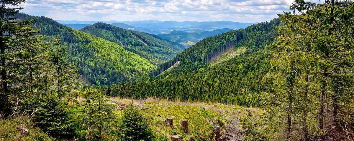
Viennese Alpenbogen – Lower Austria's most beautiful peaks
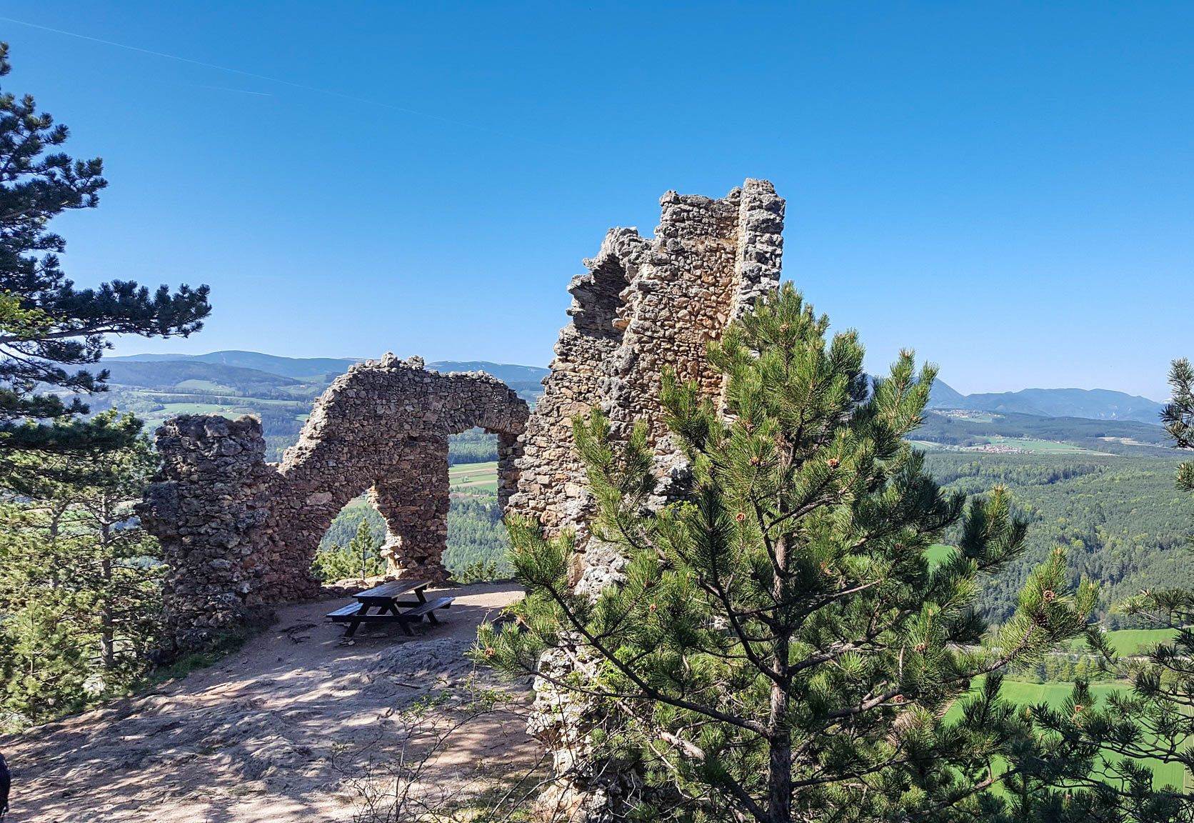
Alpannonia – Crossing borders from Austria to Hungary
Family adventures in Vienna's local mountains
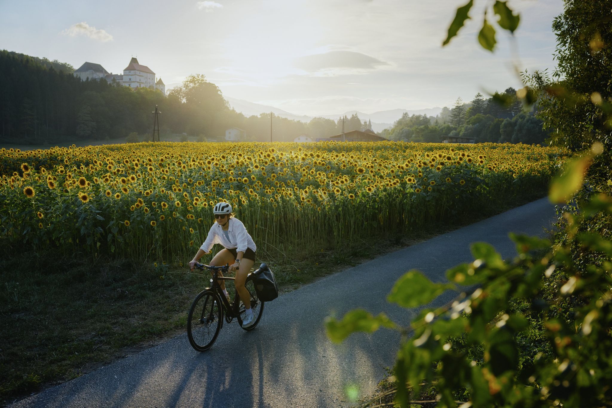
Ride & Relax – Mit dem Rad in den Wiener Alpen
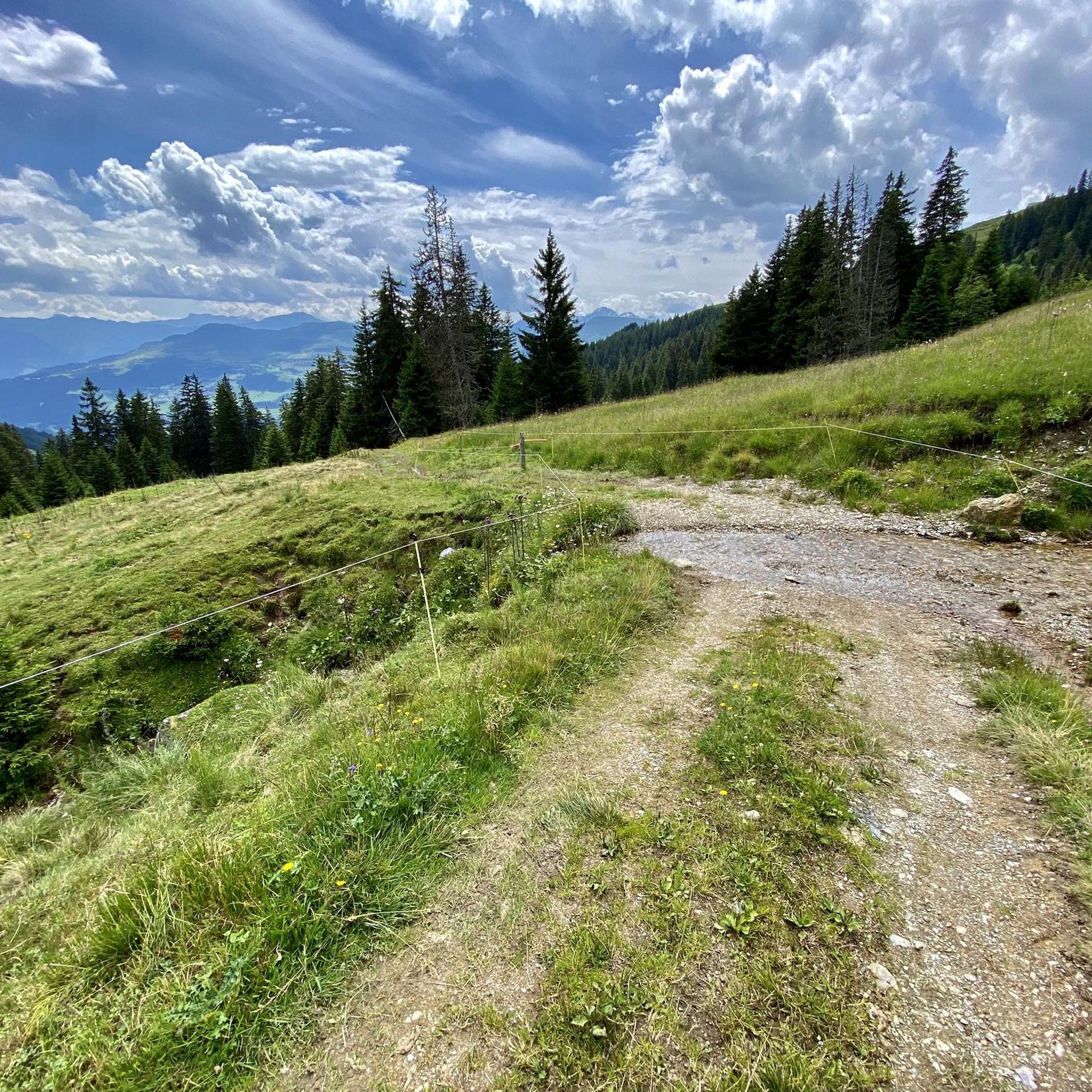
Gravel biking around Mönichkirchen
Cycling around Mönichkirchen
Road Cycling Routes around Mönichkirchen
MTB Trails around Mönichkirchen
Running Trails around Mönichkirchen
Mountain Hikes around Mönichkirchen
Other adventures around Mönichkirchen


Tips from the Community

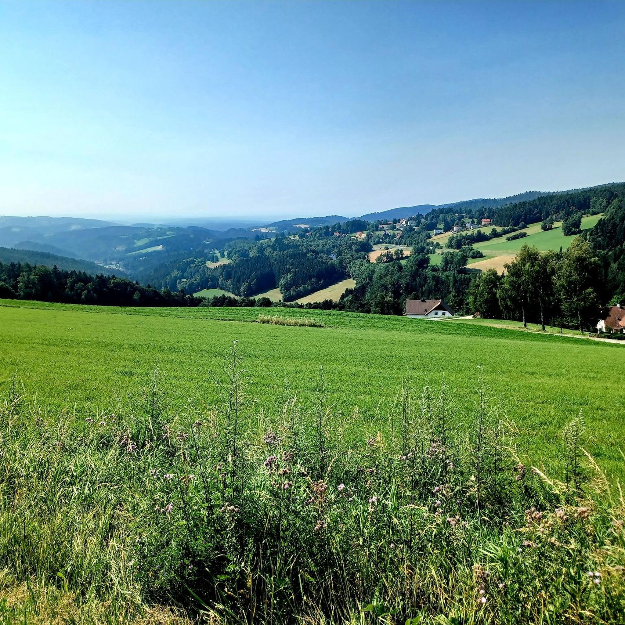
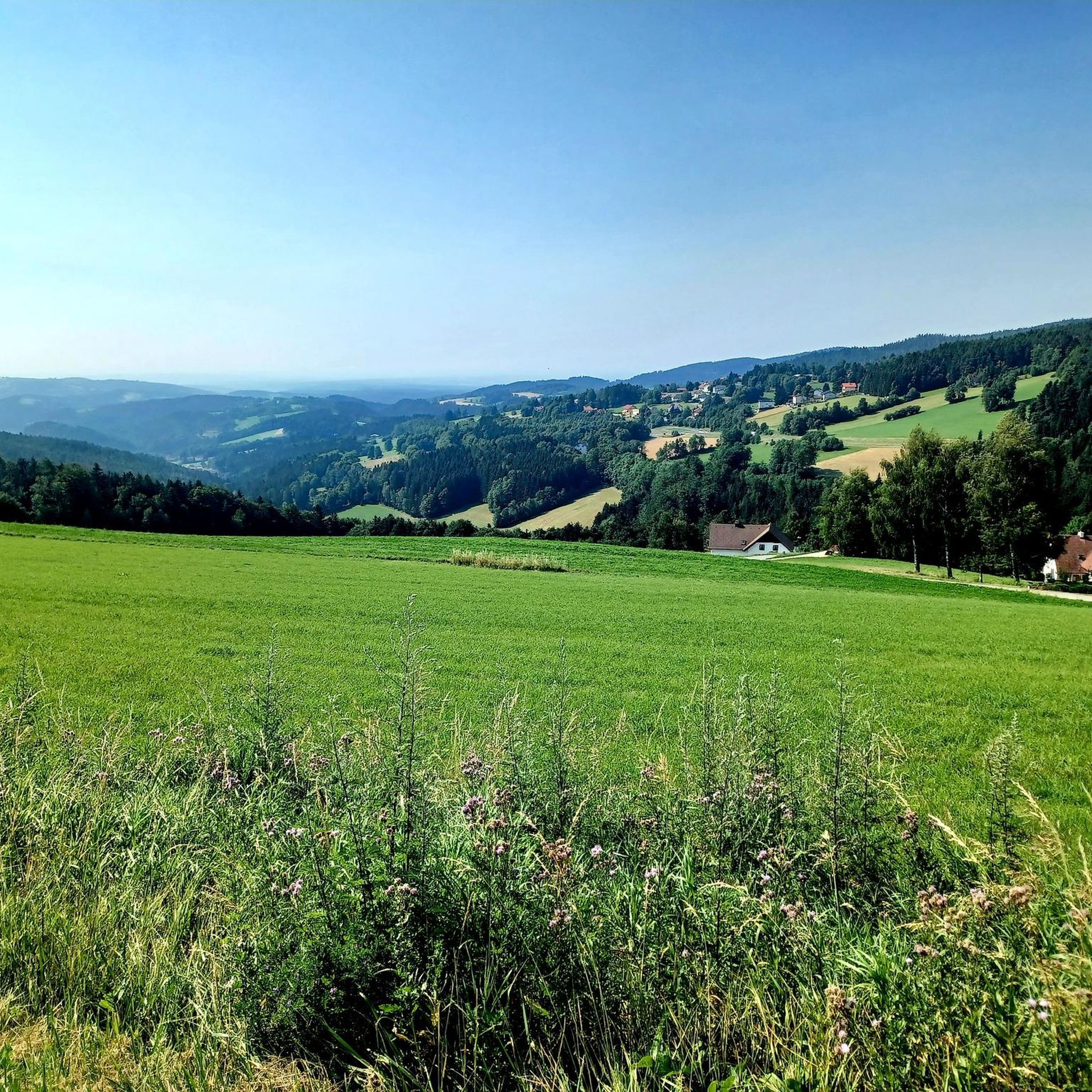
From the Hallerhausweg, beautiful distant views open up in several places towards Rax and Schneeberg. The two striking mountain massifs stand out clearly from the horizon and form an attractive contrast to the gentler, wooded heights of the Wechsel region. A rewarding viewpoint along the path, especially with clear visibility.
3
0
The Hallerhaus is a cozy mountain hut on the Wechsel and a popular resting point for hikers. The hut is located in the middle of the quiet forest and alpine landscape and is ideally suited for a stop during a tour over the Niederwechsel. A beautiful place to take a break and enjoy the typical landscape of the Wechsel region.
4
0
The Stoa Alm is a rustic alpine pasture on the Niederwechsel and a beautiful resting point along the hiking route. Surrounded by meadows and the gentle mountain landscape of the Wechsel region, it offers a pleasant opportunity for a break. The quiet, original atmosphere away from the more frequented paths is particularly charming.
4
0
The Steinerne Stiege is a striking section of the trail on the Niederwechsel, where the hiking path leads over stony, step-like passages. This section adds some variety to the landscape, which is otherwise characterized by forest paths and gentle ridges. Particularly on the descent, some sure-footedness is required on the irregular stones.
4
0
The Festenburg summit is located on the Niederwechsel and is a rather inconspicuous, natural point along the ridge. Instead of a distinct summit structure, forest and the gentle landscape of the Wechselland characterize this section. A quiet waypoint away from the more prominent peaks – typical for the elongated ridges of the Wechsel Mountains.
3
0
The Wetterkoglerhaus is located directly on the summit of the Hochwechsel at 1,743 meters and is a hut of the Austrian Alpine Club. With good visibility, the hut offers a magnificent panorama over the Wechsel region to Schneeberg, Rax, and Hochschwab. Due to its immediate proximity to the summit cross and chapel, the Wetterkoglerhaus is an ideal resting and refreshment stop at the highest point of the tour.
4
0

To those lingering before this small sacred monument, which carries the special dedication as a "Peace Cross" into the currently turbulent times again, I would like to remind them of the words of the Holy Father, newly elected last year. On the first anniversary of the pontificate of Pope Leo XIV, Julius Müller-Meiningen from the Bonner General-Anzeiger honored this public premiere with the words: "'Peace be with you all!' were the first words of Leo XIV. This sentence was to become the apostolic program in the first year of his office. That the Pope calls for peace is actually nothing special. However, under the circumstances under which the American [Robert Francis Cardinal Prevost] took office, this message stands out."
0
0

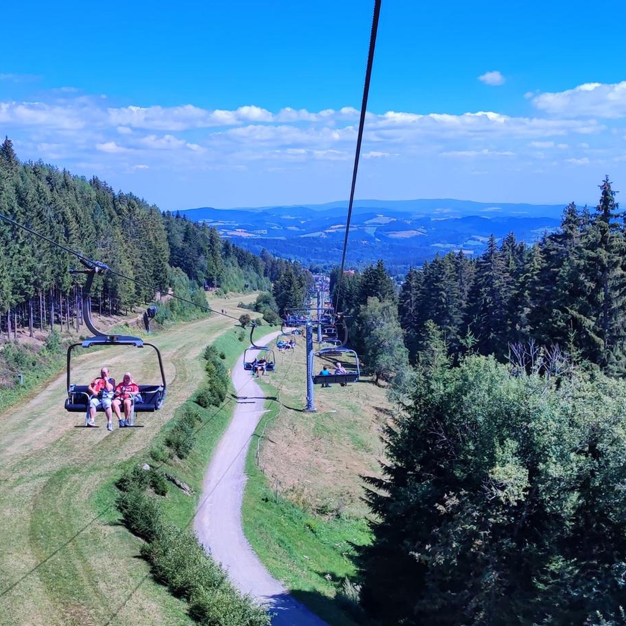
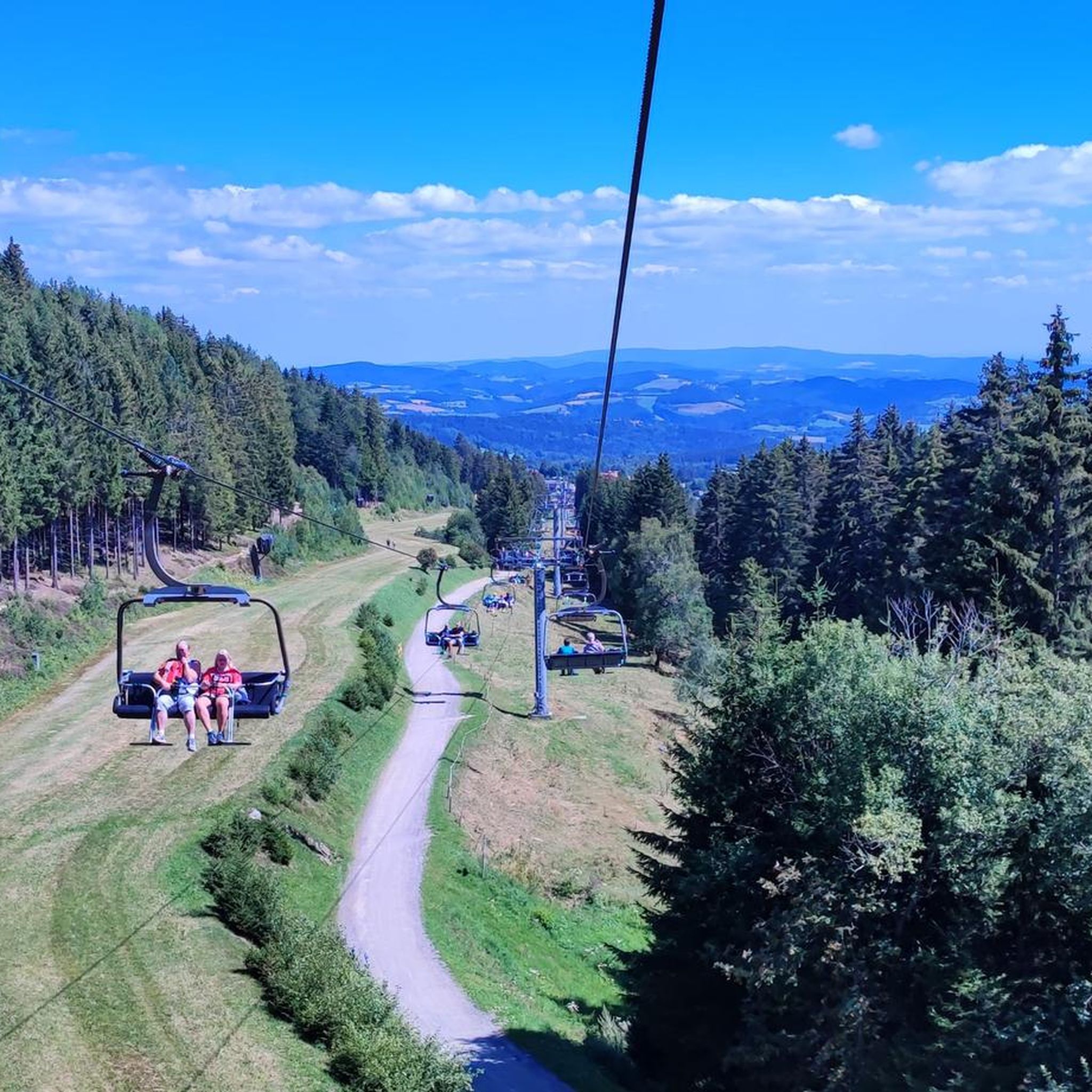
It is always open during the ski season, including Fridays.
1
0
Frequently Asked Questions
How many hiking trails are available in Mönichkirchen?
Mönichkirchen offers over 50 hiking trails, catering to various preferences and fitness levels. These include 19 easy, 30 moderate, and 1 difficult route, ensuring there's something for everyone from leisurely strolls to challenging mountain hikes.
Are there family-friendly hiking options in Mönichkirchen?
Yes, Mönichkirchen is excellent for families. The Wildgans Spruce – Swing Trail loop from Mönichkirchen is an easy 5.5 km route that incorporates sections of the adventure-themed Swing Trail on the Mönichkirchner Schwaig. This trail features 17 interactive stations, including a May carousel and milk jug bowling, making it an engaging experience for children.
What kind of terrain can I expect on hikes around Mönichkirchen?
The terrain around Mönichkirchen is diverse, ranging from sunny mountain ridges and gentle hills to extensive forest and meadow landscapes. You'll find well-maintained paths suitable for easy walks, as well as more demanding ascents to peaks like Hochwechsel, which stands at 1,743 meters.
Are there any circular hiking routes in Mönichkirchen?
Yes, Mönichkirchen offers several circular routes. A popular moderate option is the Hallerhaus Mountain Lodge – Swing Trail loop from Mönichkirchen, which is 9.3 km long. For a shorter, easy walk, consider the Schaukelweg Swing Trail – Wiener Alpen Viewpoint loop from Alpengasthof Enzian, a 2.8 km path with scenic views.
What are some notable viewpoints or natural features to see while hiking?
Hikers can enjoy breathtaking panoramic views from various points, including the Wechsel Panoramic Trail, which offers vistas stretching as far as Hungary. The Hochwechsel peak provides extensive views of the surrounding landscape. You can also visit the Chapel and summit cross on the Hochwechsel or the Arabichl Summit for impressive sights.
Are there any challenging hikes for experienced trekkers?
Yes, for experienced trekkers, there are more challenging options. The Hallerhaus Mountain Lodge – Steinerne Stiege loop from Mönichkirchen is a difficult 21.2 km route with significant elevation gain, offering a demanding yet rewarding experience through varied landscapes.
What do other hikers enjoy the most about hiking in Mönichkirchen?
The area is highly rated by the komoot community, with an average score of 4.7 stars from over 450 reviews. Hikers often praise the diverse landscapes, well-marked trails, and the combination of natural beauty with family-friendly attractions like the Swing Trail. Many appreciate the refreshing escape offered by the higher elevations during warmer months.
Can I find places to eat or stay near the hiking trails?
Yes, the region offers several options for refreshments and accommodation. Popular hikes often lead to mountain lodges and guesthouses such as the Stoa Alm or the Hallerhaus Mountain Lodge. The Erlebnisalm Mönichkirchen also serves as a hub for culinary delights and activities.
Is Mönichkirchen suitable for winter hiking?
While the region is popular for hiking in warmer months, Mönichkirchen also offers opportunities for winter activities. Some trails may be suitable for winter hiking, but conditions can vary. It's advisable to check local conditions and trail accessibility before planning a winter hike.
Are there any lakes or water features to see along the trails?
Yes, you can find several water features. The region has a water park with a salaerium for relaxation after a hike. Additionally, you might encounter small bodies of water like the Sparkassenteich or the Bärenlacke Pond, which also features a barefoot trail.
Where can I find information about parking for hiking trails?
Mönichkirchen is well-equipped for hikers, and parking facilities are generally available at trailheads or near popular starting points. Specific parking information for individual routes can often be found on komoot tour pages or local tourism websites.
What is the best time of year to go hiking in Mönichkirchen?
The best time to hike in Mönichkirchen is typically from spring through autumn, when the weather is mild and the trails are clear. The higher elevations offer a refreshing escape during warmer summer months, and the autumn foliage provides beautiful scenery. Always check the weather forecast before heading out.
Most popular routes around Mönichkirchen
Most popular attractions around Mönichkirchen

Get inspired with the komoot mobile app


Explore more
Browse the best Hikes in other regions.
