The best MTB trails around Mittelangeln
4.7
(102)
282
riders
102
rides
Mountain biking around Mittelangeln offers diverse terrain across the Angeln peninsula, situated between the Flensburg Fjord and the Schlei River. The region features rolling hills, extensive forests, and numerous lakes, providing varied landscapes for mountain bike trails. Key areas like the Frörup Mountains Nature Reserve offer a mix of meadows, rewetting bogs, and moraine hills covered with beech and oak trees. This topography creates a network of paths suitable for different riding experiences.
Best mountain bike trails around Mittelangeln
- The…
Last updated: June 24, 2026
4.0
(1)
3
riders
Moderate mountain bike ride. Good fitness required. Suitable for all skill levels.
4.8
(4)
4
riders
18.9km
01:12
70m
70m
Easy mountain bike ride. Great for any fitness level. Suitable for all skill levels.

Sign up for free
3.0
(2)
2
riders
25.1km
01:32
100m
100m
Easy mountain bike ride. Great for any fitness level. Suitable for all skill levels.
5.0
(1)
2
riders
26.6km
01:30
110m
110m
Easy mountain bike ride. Great for any fitness level. Suitable for all skill levels.
1
riders
48.8km
02:46
200m
200m
Moderate mountain bike ride. Good fitness required. Suitable for all skill levels.
Get access to more routes and recommendations from other explorers.
Sign up for free
Already have an account?
Our route recommendations are based on thousands of hikes, rides, and runs completed by other people on komoot.
Start today with a free account
Your next adventure awaits.
Login or Signup
Popular around Mittelangeln
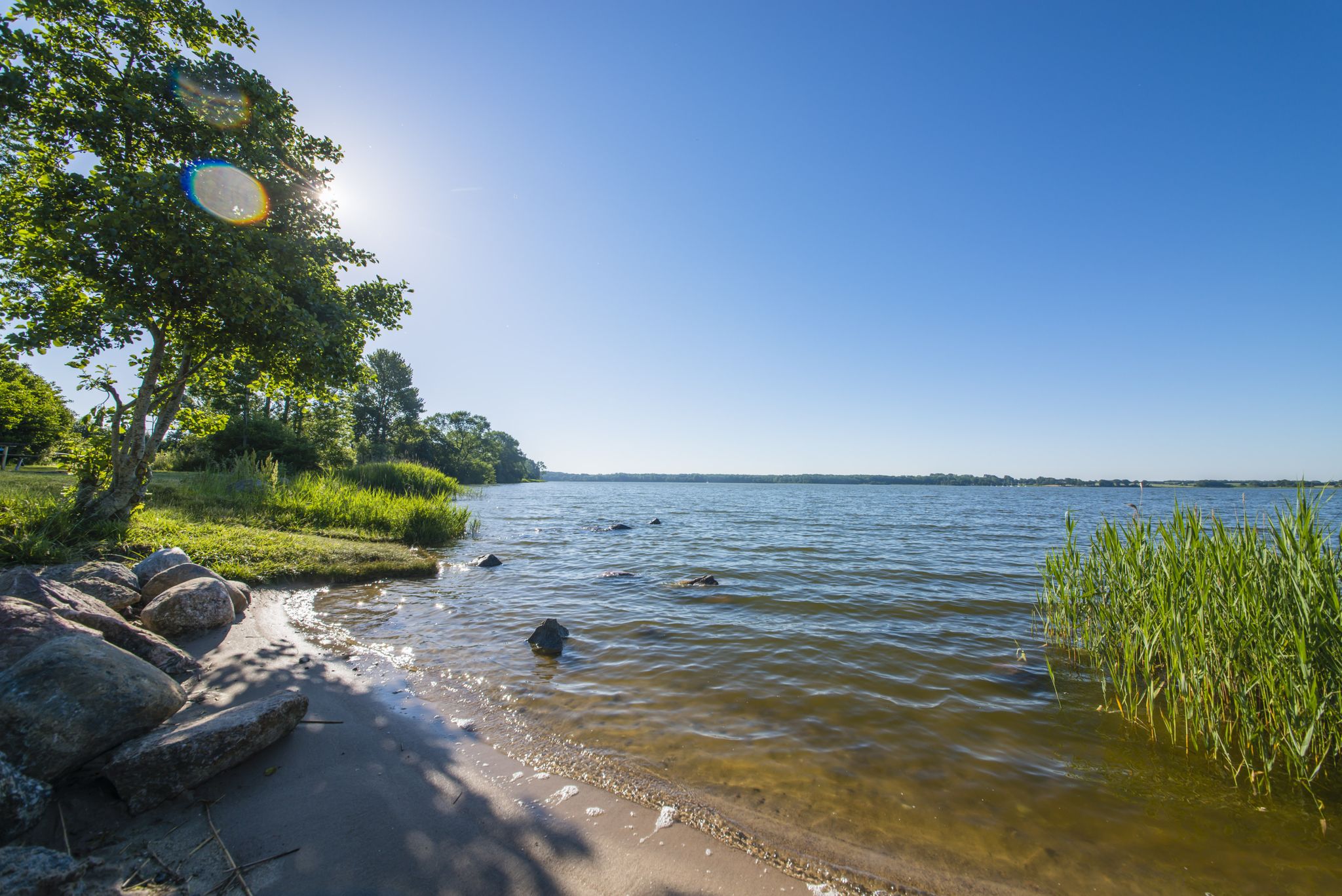
The journey is the destination – hikes along the River Schlei in Germany
Wandern im Angelner Land im hohen Norden von Schleswig-Holstein
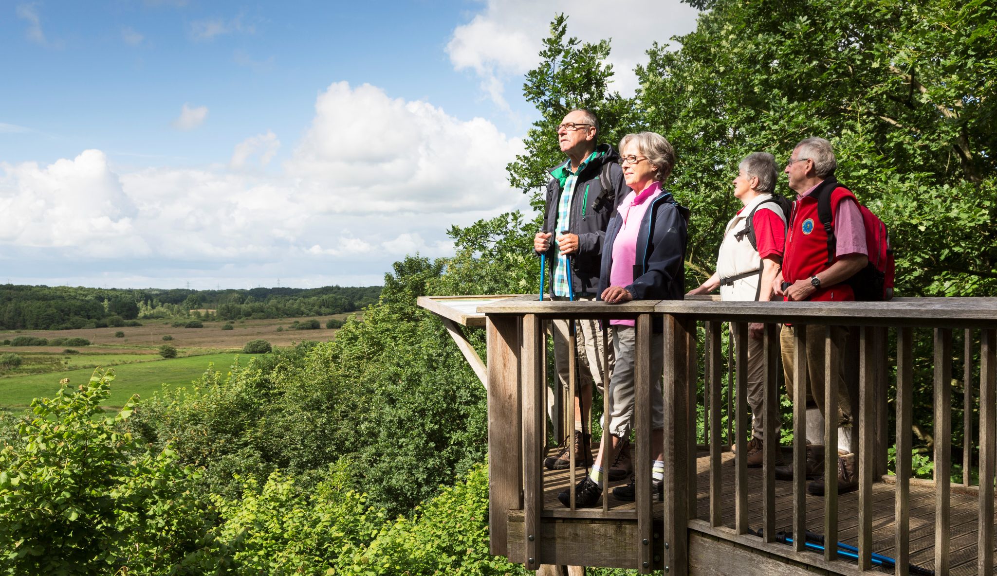
Wandern im Grünen Binnenland
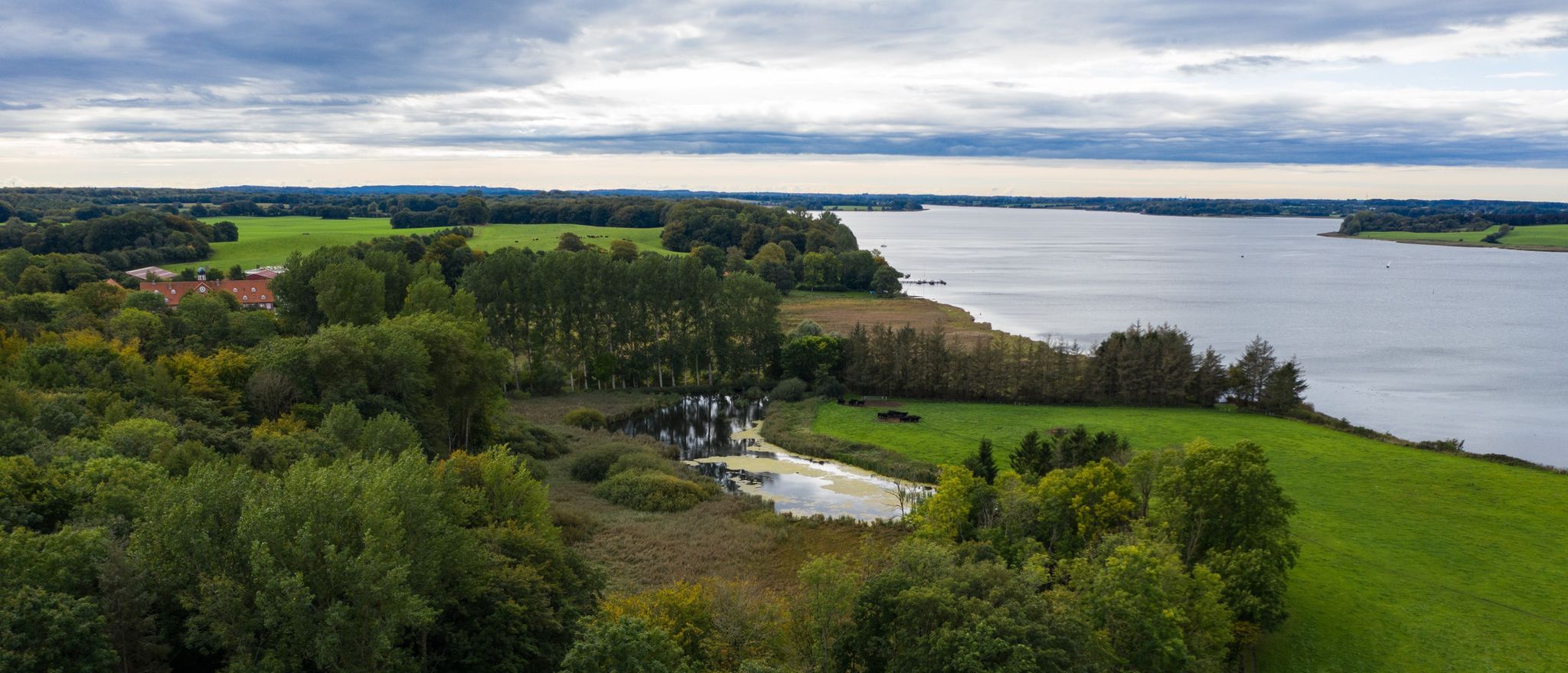
Wandern an der Schlei
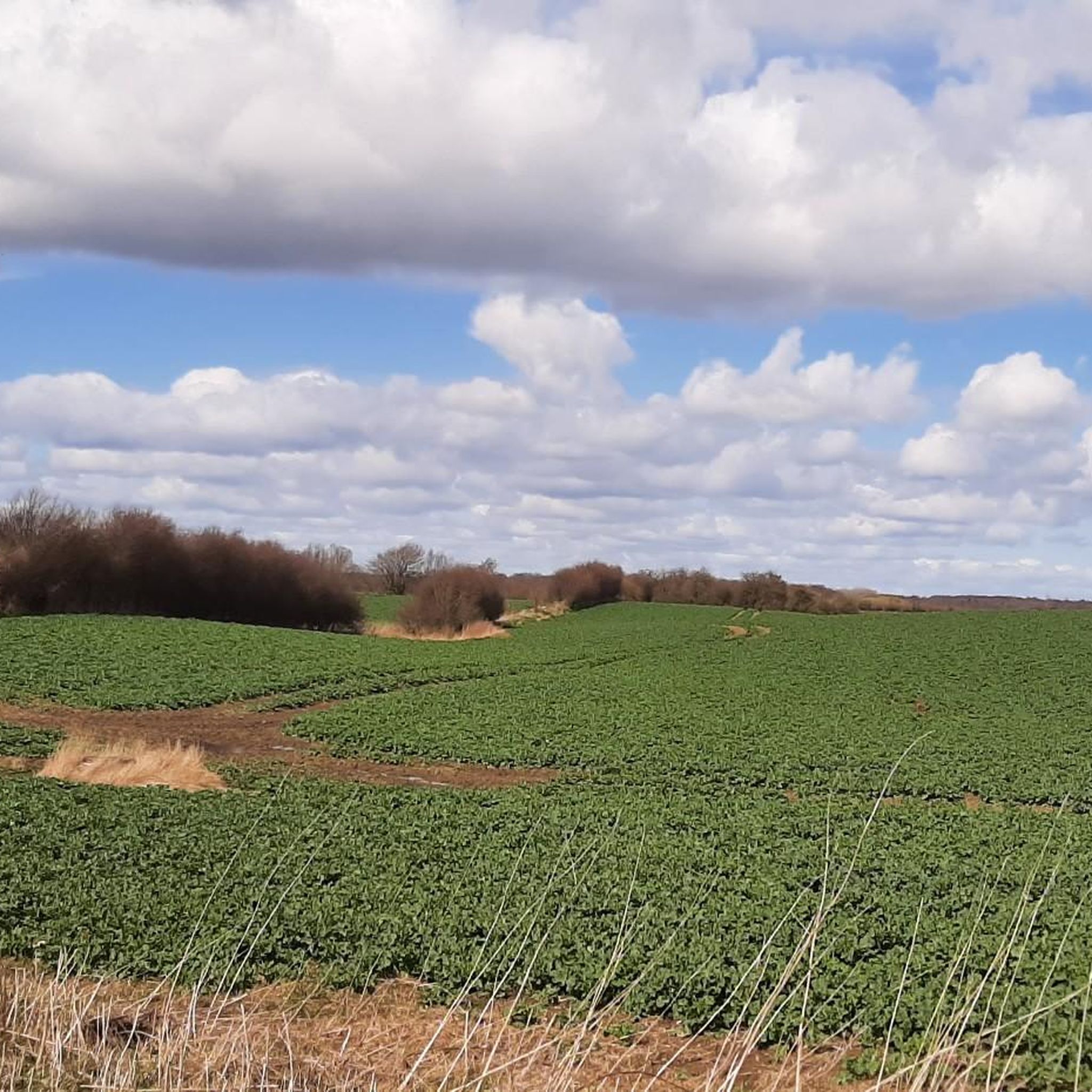
Hiking around Mittelangeln
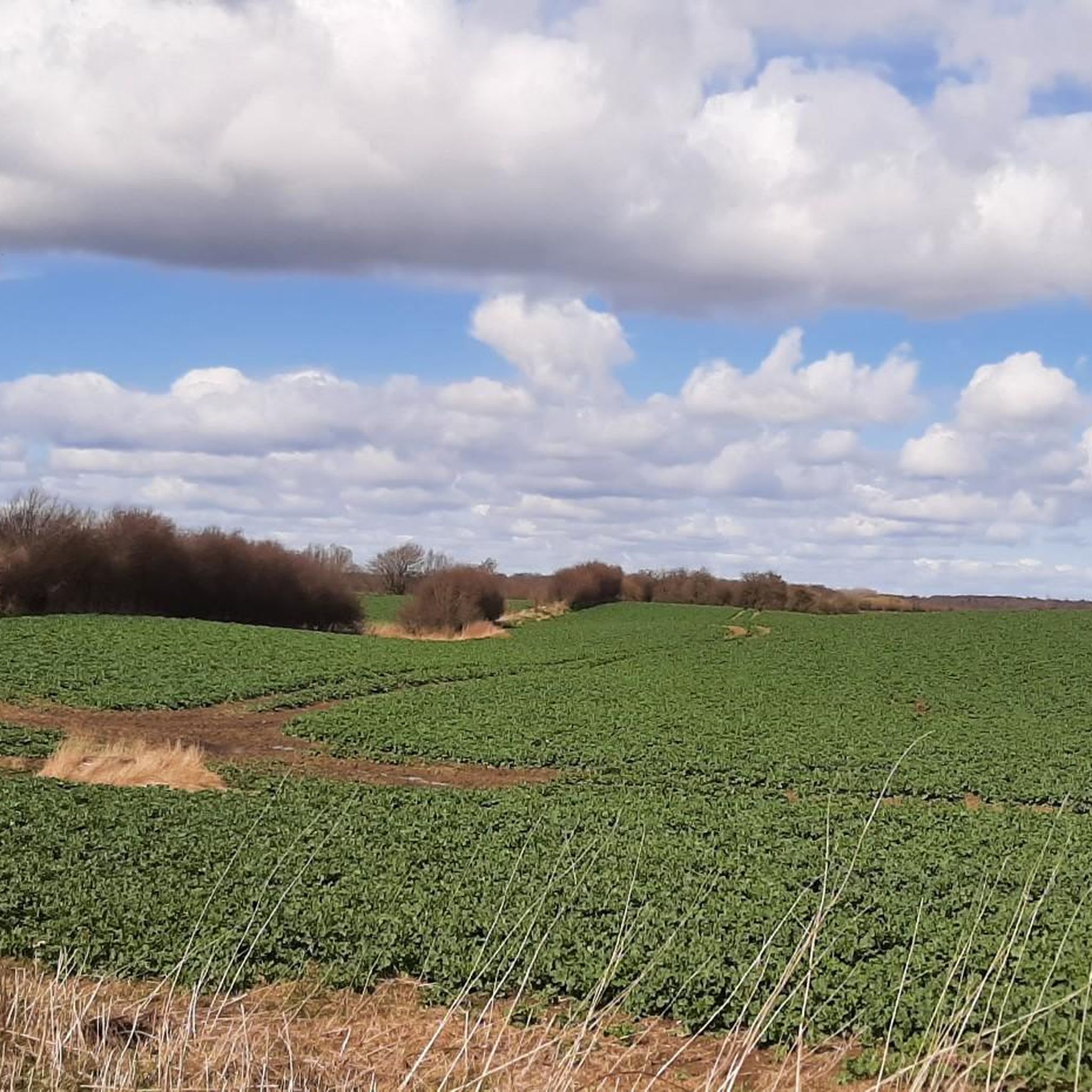
Cycling around Mittelangeln
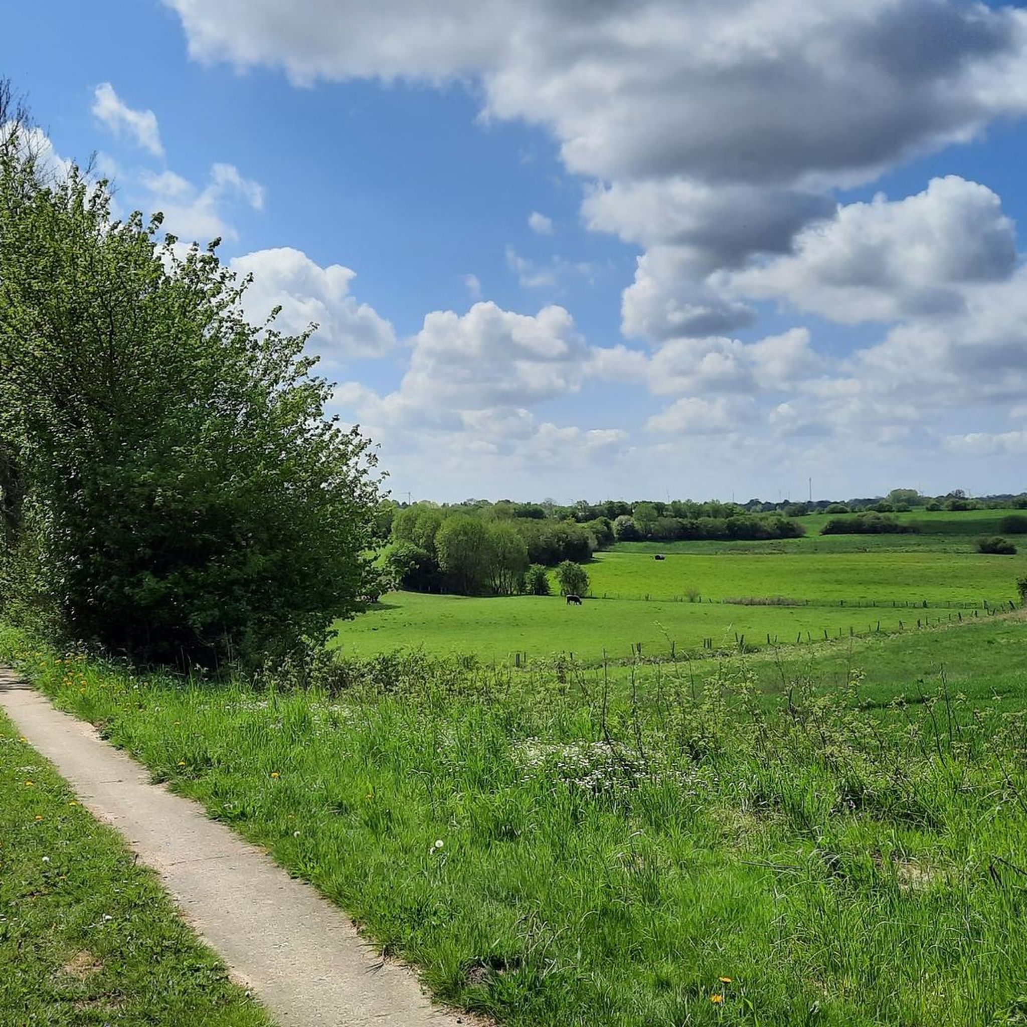
Running Trails around Mittelangeln
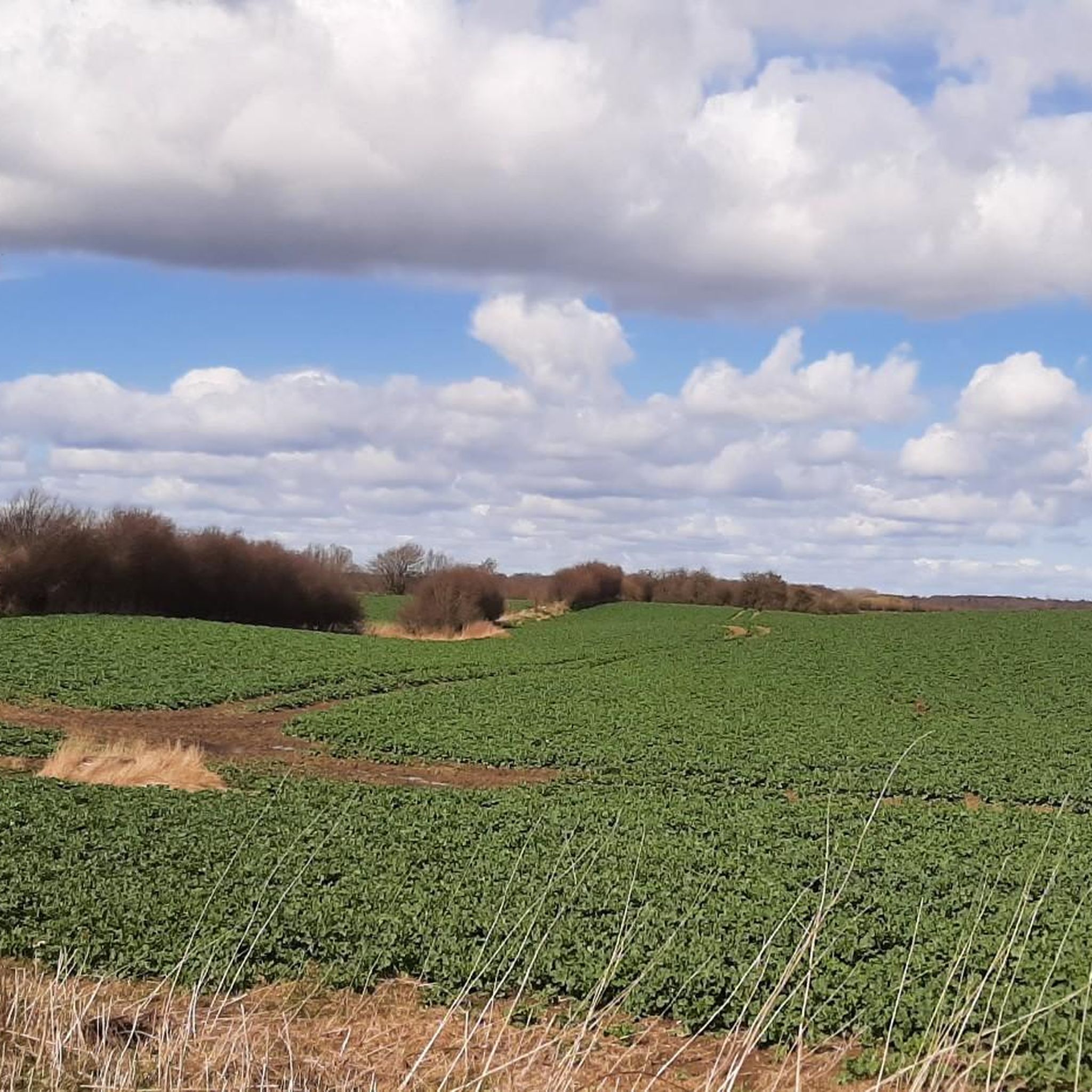
Road Cycling Routes around Mittelangeln
Gravel biking around Mittelangeln
Other adventures around Mittelangeln


Tips from the Community

The trail through the moor was well worth the long journey. However, we didn't find the lilies of the valley we were looking for.
0
0

Beautiful trail through the Rehbergerholz...
0
0

Picture 1 (avenue) is not Kiesperdiek. The avenue is Baustrup. Kiesperdiek is a beautiful little thoroughfare. The road lies on the northern edge of the Catharintal Forest.
1
0

Small piers lead directly to the water. Ideal for a refreshing swim. Hiking trails right along the shore.
1
0
Small footbridges lead to these small lakes. Very beautifully situated. If you are looking for peace and quiet, you will find it here.
1
0
An old path, now a pilgrimage route. Beautiful rest areas with small huts along the way.
1
0

The beetle has been missing for some time. 🤷♂️ As of summer 2024
0
0

Frequently Asked Questions
How many mountain bike trails are available in Mittelangeln?
Mittelangeln offers a wide selection of mountain bike trails, with over 100 routes available for exploration. These trails cater to various skill levels, ensuring there's something for everyone.
What kind of terrain can I expect on mountain bike trails in Mittelangeln?
The terrain in Mittelangeln is diverse, characterized by rolling hills, extensive forests, and numerous lakes. Key areas like the Frörup Mountains Nature Reserve offer a mix of meadows, rewetting bogs, and moraine hills covered with beech and oak trees, providing varied riding surfaces and scenic backdrops.
What are the difficulty levels of mountain bike trails in Mittelangeln?
The mountain bike trails in Mittelangeln are primarily categorized as easy or moderate. You'll find 47 easy routes perfect for beginners or leisurely rides, and 60 moderate trails for those seeking a bit more challenge. There are no difficult trails listed in this guide.
Are there family-friendly mountain bike trails in Mittelangeln?
Yes, Mittelangeln has several family-friendly options, particularly among its 47 easy routes. A great choice is the Hechtmoor Nature Reserve loop from Mittelangeln, an easy 11.7-mile (18.9 km) path that leads through a beautiful natural environment suitable for all ages.
Are there dog-friendly mountain bike trails in Mittelangeln?
Many of the trails in Mittelangeln, especially those through forests and open landscapes like the Frörup Mountains, are suitable for riding with dogs, provided they are well-behaved and kept on a leash where required. Always be mindful of local regulations and other trail users.
Can I find circular mountain bike routes in Mittelangeln?
Yes, many of the mountain bike routes in Mittelangeln are designed as loops, allowing you to start and end at the same point. An example is the Südensee – Südensee Loop loop from Mittelangeln, an easy 16.5-mile (26.6 km) route around the scenic Südensee.
What natural features or landmarks can I see along the mountain bike trails?
Mittelangeln's trails often pass by beautiful natural features. You can encounter various lakes, such as Sankelmarker Lake and Südensee. The Frörup Mountains Nature Reserve itself is a highlight, with its diverse landscapes including rewetting bogs and ancient forests. Some routes also feature charming spots like the Wooden jetty at Idstedter See.
Where can I park my car when mountain biking in Mittelangeln?
Parking is generally available at various starting points for trails, especially near popular areas like the Frörup Mountains. Look for designated parking lots in or near towns such as Satrup or Mittelangeln itself, which often serve as trailheads.
Is it possible to reach mountain bike trails in Mittelangeln by public transport?
While public transport options exist within the Angeln region, direct access to all trailheads with a bike might be limited. It's advisable to check local bus schedules and bike transport policies for specific routes, especially when planning to visit areas like the Frörup Mountains.
What is the best time of year for mountain biking in Mittelangeln?
The spring, summer, and early autumn months (April to October) generally offer the best conditions for mountain biking in Mittelangeln. During these periods, the weather is typically mild, and the trails are dry and well-maintained, allowing for enjoyable rides through the region's forests and along its lakes.
Are there any longer mountain bike routes for more experienced riders?
For those looking for a longer ride, the Swimming Area at Idstedter See – Trail Along Idstedter See loop from Mohrkirch is a moderate 33.3-mile (53.6 km) trail that takes approximately 3 hours 21 minutes to complete, offering a substantial challenge and scenic views.
Where can I find places to rest or eat near the trails?
You'll find cafes, pubs, and accommodation options in the towns and villages surrounding the mountain bike trails, such as Satrup and Mittelangeln. These places offer opportunities to refuel and relax after your ride.
What do other mountain bikers say about the trails in Mittelangeln?
The mountain bike trails in Mittelangeln are highly rated by the komoot community, with an average score of 4.6 stars from over 100 reviews. Riders often praise the varied landscapes, the well-maintained paths, and the peaceful atmosphere of the region's forests and lake areas.
Are there any trails that follow old railway paths?
Yes, you can experience a unique ride on the Kreisbahntrasse Schlei – Old Kreisbahn Railway Path loop from Havetoft. This moderate 30.3-mile (48.8 km) route follows a historic railway line, offering a relatively flat and smooth ride through the landscape.
Most popular routes around Mittelangeln
Most popular attractions around Mittelangeln

Get inspired with the komoot mobile app


Explore more
Browse the best MTB trails in other regions.
