The best walks and hikes around Mining
4.4
(1020)
5,377
hikers
451
hikes
Hiking around Mining, a region situated along the Inn river, features a landscape characterized by riverine paths, natural areas, and gentle, rolling terrain. The area offers a network of trails with minimal elevation changes, making it accessible for various hiking experiences. Mining am Inn provides opportunities to explore the local environment, including waterways and historic sites.
Best hiking trails around Mining
- The most popular hiking route is Naturium am Inn – Ering Bypass Waterway loop from Ering, a 3.1…
Last updated: October 7, 2026
4.9
(31)
194
hikers
Easy hike. Great for any fitness level. Easily-accessible paths. Suitable for all skill levels.
4.6
(40)
157
hikers
8.82km
02:14
20m
20m
Moderate hike. Good fitness required. Easily-accessible paths. Suitable for all skill levels.

4.0
(10)
43
hikers
5.26km
01:20
10m
10m
Easy hike. Great for any fitness level. Easily-accessible paths. Suitable for all skill levels.
4.3
(6)
40
hikers
11.0km
02:49
40m
40m
Moderate hike. Good fitness required. Easily-accessible paths. Suitable for all skill levels.
5.0
(2)
32
hikers
4.12km
01:03
20m
20m
Easy hike. Great for any fitness level. Easily-accessible paths. Suitable for all skill levels.
Get access to more routes and recommendations from other explorers.
Already have an account?
Our route recommendations are based on thousands of hikes, rides, and runs completed by other people on komoot.
Start today with a free account
Your next adventure awaits.
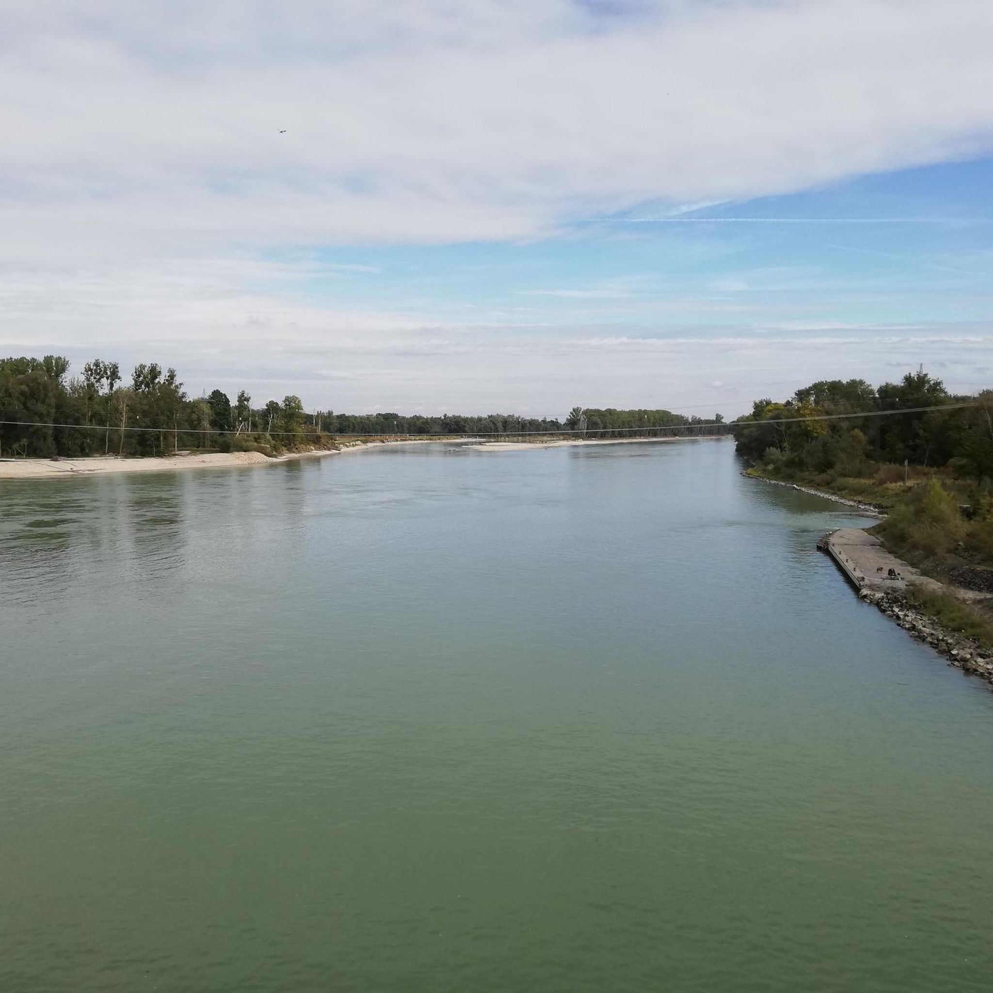
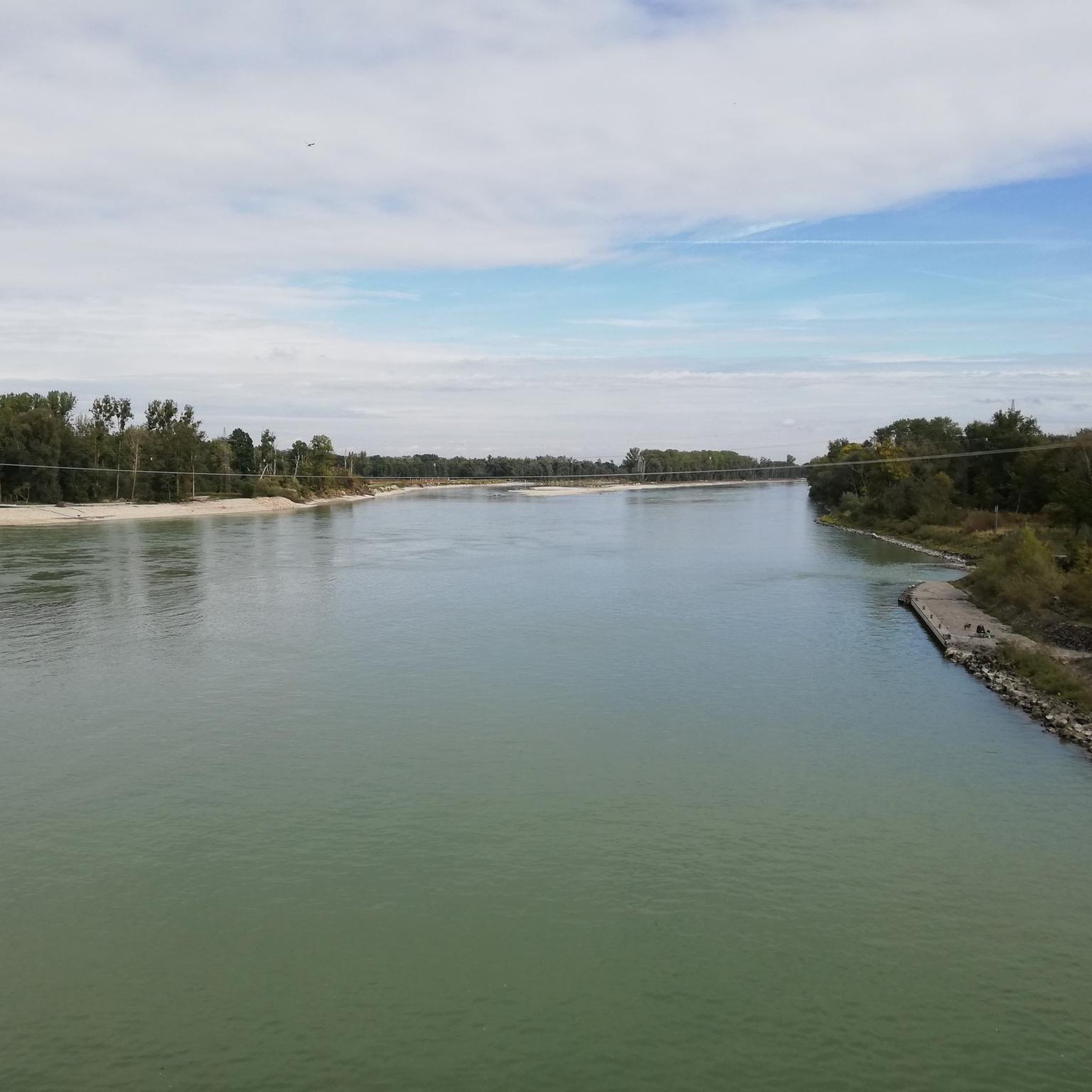
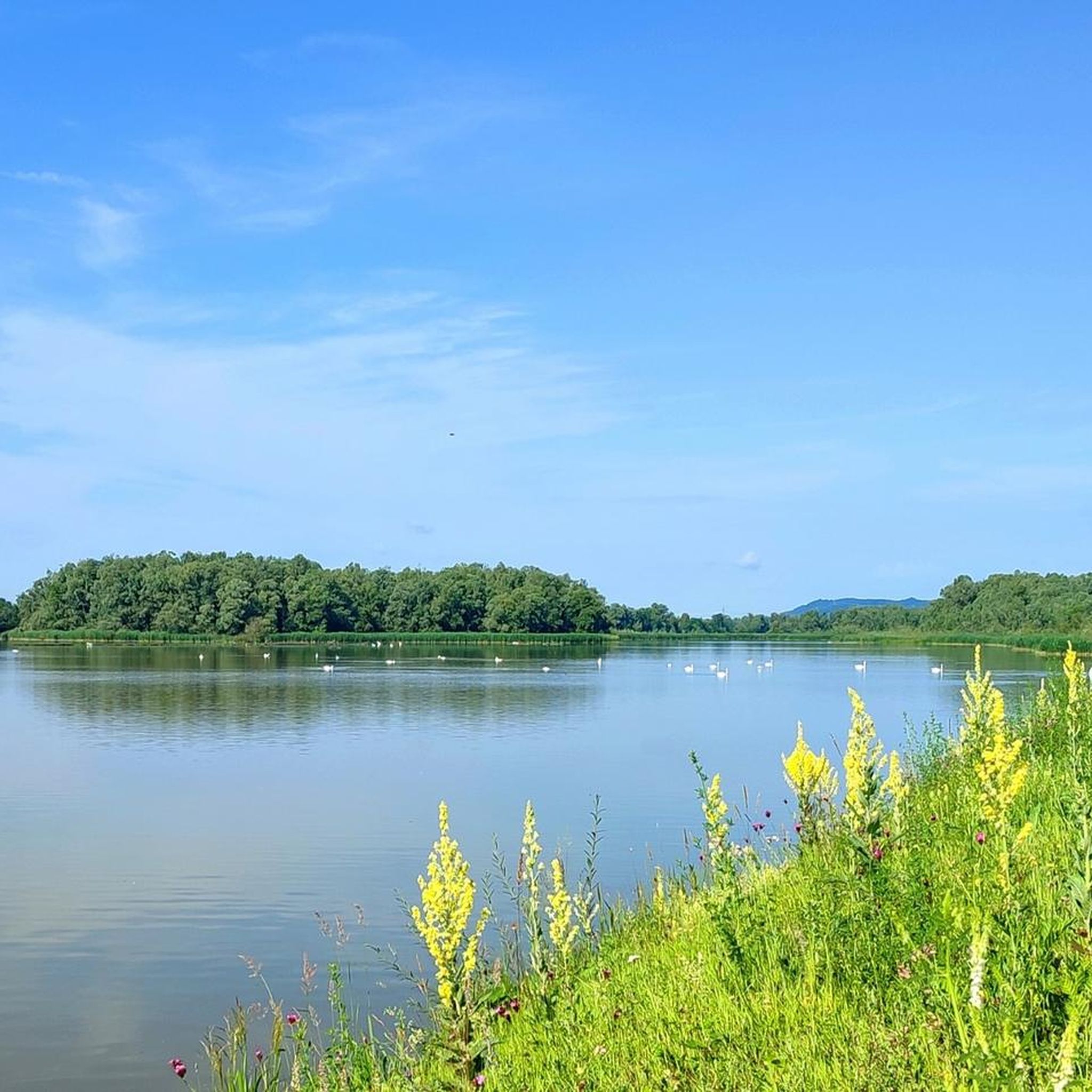
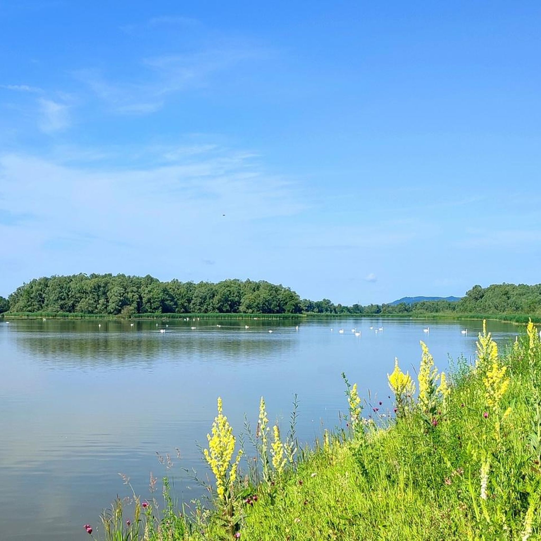
Tips from the Community

Ering-Frauenstein Power Plant
0
0
Burgschänke Frauenstein
0
0

Event location directly on the Inn. Nice for a well-kept cyclist
0
0

a great resting place, lots of nature
0
0
Of course, there are also many possibilities here
0
0

Frequently Asked Questions
How many hiking trails are available around Mining?
Mining offers a wide selection of hiking opportunities, with over 430 trails recorded on komoot. These range from short, easy strolls along the river to longer, more moderate excursions through the surrounding natural areas.
Are there easy hiking trails suitable for beginners or families in Mining?
Yes, Mining is well-suited for beginners and families. The region features gentle, rolling terrain with minimal elevation changes. There are over 270 easy routes available, many of which follow riverine paths and are ideal for a relaxed outing. A good option for a family-friendly walk is the Frauenstein Castle – Burgschänke Frauenstein loop from Mining, which is 2.6 miles (4.2 km) long and explores the area around the historic castle.
What kind of terrain can I expect on hikes around Mining?
Hiking around Mining is characterized by riverine paths along the Inn, natural areas, and gentle hills. The trails generally have minimal elevation changes, making them accessible for various fitness levels. You'll find a mix of paved and unpaved paths, often passing through meadows and light woodlands.
Are there any circular walks available in Mining?
Yes, many of the trails around Mining are designed as circular routes, allowing you to start and end at the same point. For example, the Naturium am Inn – Ering Bypass Waterway loop from Ering is a popular 3.1-mile (5.0 km) circular trail that follows the Ering Bypass Waterway.
What can I see along the hiking trails in Mining?
The trails around Mining offer opportunities to explore local nature and historic sites. You can discover landmarks such as Frauenstein Castle, walk along the Inn Dam Path in Unterer Inn Nature Reserve, or observe the Ering–Frauenstein Hydroelectric Power Plant. Many routes also provide views of the Inn river and its surrounding landscape.
What do other hikers enjoy the most about hiking in Mining?
The komoot community highly rates the hiking experience in Mining, with an average score of 4.5 stars from over 800 reviews. Hikers often praise the well-maintained paths, the peaceful riverine scenery, and the accessibility of the trails for all ability levels. The natural beauty and historical points of interest are frequently highlighted.
Are there dog-friendly trails around Mining?
Most trails in the Mining area are dog-friendly, offering plenty of space for your canine companion to enjoy the outdoors. It's always recommended to keep dogs on a leash, especially in nature reserve areas or near livestock, and to carry waste bags. The gentle terrain makes many routes suitable for dogs of all sizes.
What is the best time of year to go hiking in Mining?
The best time to hike in Mining is typically from spring through autumn (April to October). During these months, the weather is generally mild and pleasant, and the natural landscape is vibrant. Summer offers longer daylight hours, while autumn provides beautiful foliage. Winter hiking is possible, but some paths might be muddy or icy, so appropriate footwear is essential.
Are there any observation points or towers on the hiking routes?
Yes, some routes offer elevated views. For instance, the Naturium am Inn – Eglsee Observation Tower loop from Ering is a moderate 5.3-mile (8.5 km) path that includes views from the Eglsee Observation Tower, providing a broader perspective of the surrounding landscape.
Is parking available near the hiking trailheads in Mining?
Yes, parking is generally available at or near the starting points of many popular hiking trails in the Mining area. Specific parking information can often be found on individual route descriptions on komoot, or by checking local signage in towns like Ering or Mining itself. Many routes start from easily accessible locations.
Are there cafes or places to eat near the hiking trails?
Yes, you can find cafes and restaurants in the villages and towns surrounding the hiking areas, such as Mining or Ering. Some routes, like those around Frauenstein Castle, may have nearby eateries or traditional 'Burgschänke' (castle taverns) where you can refresh yourself after your hike.
Most popular attractions around Mining

Get inspired with the komoot mobile app


Explore more
Browse the best Hikes in other regions.
