The best walks and hikes around Grajera
4.0
(1)
13
hikers
5
hikes
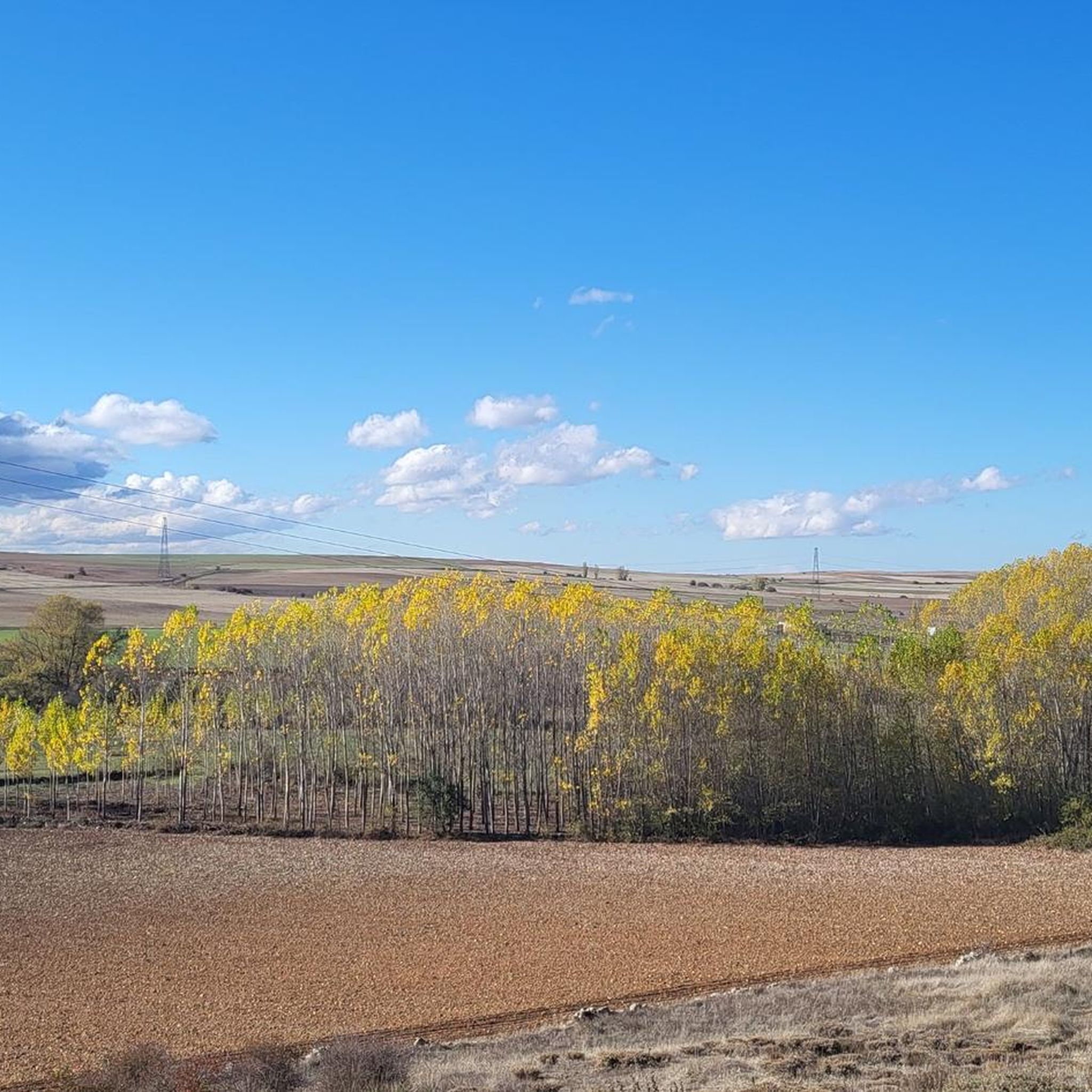
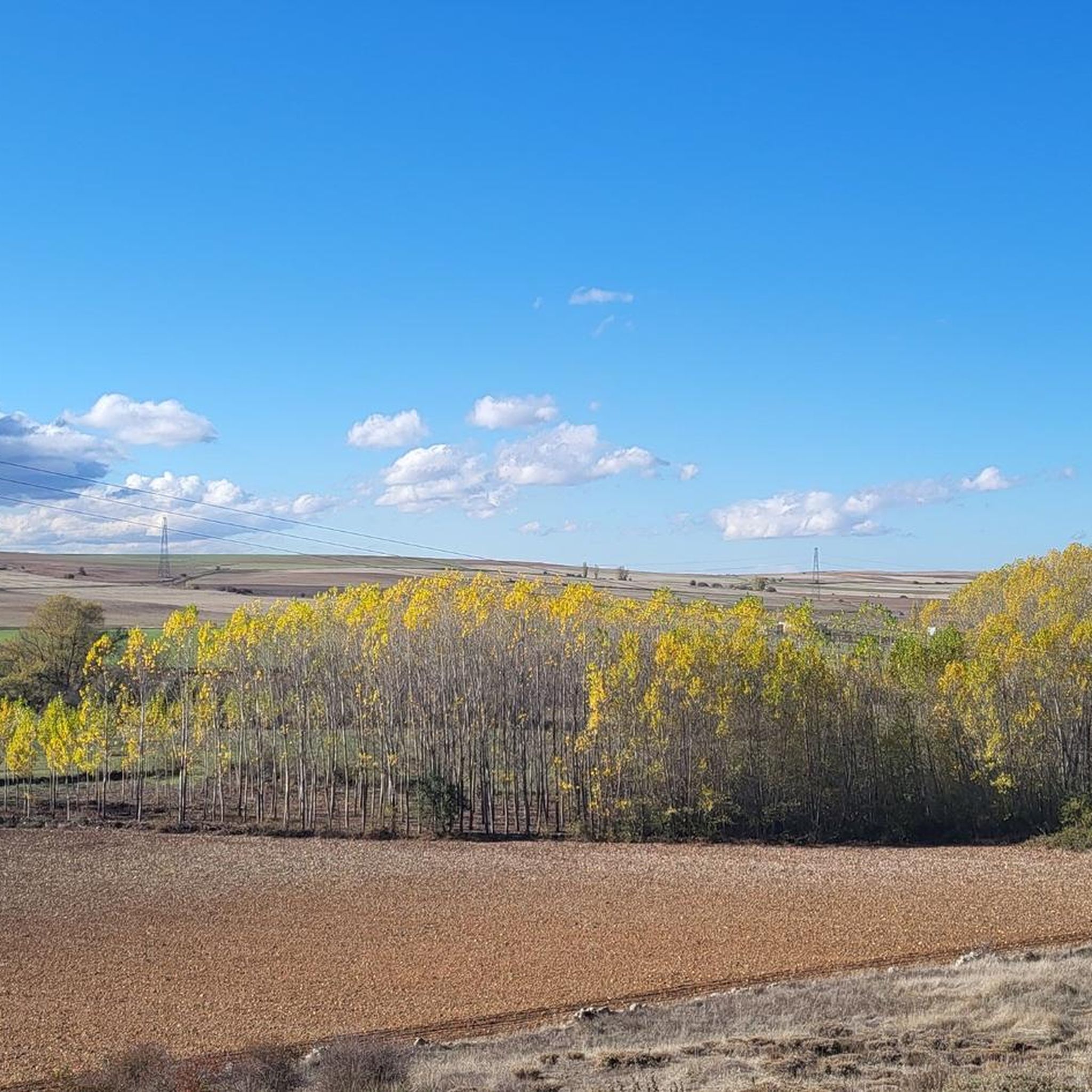
Hiking around Grajera offers a varied landscape centered around the Embalse de la Grajera reservoir. The region features a mix of woodlands, open paths, and gentle hills, providing diverse terrain for exploration. Trails often follow the edge of the reservoir or ascend to elevated viewpoints. Elevation changes are generally moderate, making the area accessible to various hiking abilities.
Best hiking trails in Grajera
- The most popular hiking route is Gullies loop from Fresno de Cantespino, a 4.8 miles (7.7 km) trail that takes 2 hours 4 minutes to complete. This moderate route features gentle elevation changes through open and wooded areas.
- Another top favourite among local hikers is Boceguillas Silo loop from Boceguillas, a moderate 10.6 miles (17.1 km) path. This route offers extensive views across the landscape with moderate climbs.
- Local hikers also love the Fresno de Cantespino – Gullies loop from Fresno de Cantespino, a 6.5 miles (10.5 km) trail leading through varied terrain, often completed in about 2 hours 48 minutes.
- Hiking around Grajera is defined by reservoir views, woodlands, and gentle hills. The network offers options for different ability levels, from easy strolls to more challenging treks.
- The routes in Grajera are highly rated by the komoot community with an average score of 4.0 stars from over 1 review. More than 5 hikers have used komoot to explore Grajera's varied terrain.
Last updated: September 3, 2026
4.0
(1)
4
hikers
7.73km
02:04
90m
90m
Moderate hike. Good fitness required. Easily-accessible paths. Suitable for all skill levels.
3
hikers
5.99km
01:35
50m
50m
Easy hike. Great for any fitness level. Easily-accessible paths. Suitable for all skill levels.

Sign up for free
2
hikers
6.48km
01:46
90m
90m
Easy hike. Great for any fitness level. Easily-accessible paths. Suitable for all skill levels.
2
hikers
17.1km
04:33
180m
180m
Moderate hike. Good fitness required. Easily-accessible paths. Suitable for all skill levels.
2
hikers
9.95km
02:39
110m
100m
Moderate hike. Good fitness required. Easily-accessible paths. Suitable for all skill levels.
Our route recommendations are based on thousands of hikes, rides, and runs completed by other people on komoot.
Start today with a free account
Your next adventure awaits.
Login or Signup


Tips from the Community

A "temple" of modern agriculture, this tall grain silo stands and can be seen for miles as you approach the town of Boceguillas.
0
1
A small town inhabited since the beginning of the first millennium. One of the most notable monuments is the parish church of Fresno and the hermitage of Santo Cristo, which stand out for their elevated position above the town.
0
1
16th century stone church on the outskirts of Castillejo de Mesleón. The Church of Our Lady of the Assumption is a beautiful structure located near the route of the old Camino Frances.
0
1

Among the heritage of the Segovian town of Fresno de Cantespino, the following stand out: the Hermitage of Santo Cristo de la Cerca, the Church of San Nicolás de Bari and the cruise known as La Picota.
1
0
Frequently Asked Questions
What types of hiking trails can I find around Grajera?
The Grajera area, particularly around Parque de La Grajera and its reservoir, offers a diverse range of trails. You'll find a mix of woodlands, open paths, and gentle hills. The routes vary from easy strolls to more moderate treks, often following the edge of the reservoir or ascending to scenic viewpoints.
Are there any easy hiking routes suitable for beginners or families in Grajera?
Yes, there are options for easier walks. The Gullies loop from Fresno de Cantespino is a moderate route that can be enjoyed by those looking for a less strenuous experience, offering varied forest and open views. The region research also mentions a shorter 2.8-mile (4.5 km) trail around the La Grajera Reservoir that leads through woodlands, typically completed in about 1 hour and 9 minutes, which is great for families.
What are some of the longer or more challenging hikes in the Grajera area?
For those seeking a longer adventure, the Boceguillas Silo loop from Boceguillas is a moderate 17.1 km route that takes over 4 hours to complete. The region research also highlights the 'La Grajera Reservoir – View of Navarrete loop from La Grajera (M3-6)' as a more difficult, extensive 13.7-mile (22.0 km) path offering broad views of the reservoir and distant Navarrete.
Are there any circular hiking routes around Grajera?
Yes, many of the trails in the Grajera area are designed as circular routes, allowing you to start and end at the same point. Examples include the Gullies loop from Fresno de Cantespino and the Boceguillas Silo loop from Boceguillas. The region research also mentions the 'Pico del Águila and Monte de la Pila Loop' and 'La Grajera Reservoir loop' as popular circular options.
What natural features or landmarks can I expect to see while hiking in Grajera?
The primary natural feature is the Embalse de la Grajera reservoir, which many trails follow or offer views of. You'll also encounter diverse woodlands and gentle hills. Beyond the immediate hiking trails, you can explore historical sites like the Medieval Necropolis of Nuestra Señora de la Asunción or the Visigothic Necropolis and Hermitage of San Miguel de Duratón.
Is Grajera a good place for dog-friendly hiking?
While specific regulations for dogs on trails are not detailed, Parque de La Grajera is a popular outdoor recreation area with a well-established trail network. Generally, such areas in Spain are dog-friendly, especially on leash. It's always a good idea to keep your dog on a leash and carry waste bags to maintain the natural environment.
What is the best time of year to go hiking in Grajera?
The varied landscape of Grajera makes it suitable for hiking throughout much of the year. Spring and autumn offer pleasant temperatures and vibrant scenery, with blooming wildflowers or colorful foliage. Summer can be warm, so early morning or late afternoon hikes are recommended. Winter hiking is also possible, though some paths might be muddy after rain or snow.
What do other hikers enjoy most about the trails in Grajera?
The komoot community highly regards the trails in Grajera, with an average rating of 4.4 stars from over 200 reviews for the Parque de La Grajera area. Hikers often praise the diverse terrain, from woodlands to open views, and the well-maintained network of paths that cater to various fitness levels. The scenic vistas of the reservoir are also a frequently mentioned highlight.
Are there any historical or cultural points of interest near the hiking routes?
Yes, the region surrounding Grajera offers several historical and cultural points of interest. You can visit the Medieval Necropolis of Nuestra Señora de la Asunción, the Visigothic Necropolis and Hermitage of San Miguel de Duratón, or the Parish Church of Fresno de Cantespino. These sites provide a glimpse into the rich history of the area.
What is the typical elevation gain on hikes in Grajera?
The elevation changes in Grajera are generally moderate, making the area accessible to hikers of varying abilities. For example, the Gullies loop from Fresno de Cantespino has an elevation gain of around 92 meters, while the longer Boceguillas Silo loop from Boceguillas features about 175 meters of ascent. Trails often involve gentle hills rather than steep climbs.
Is parking available at the trailheads in Grajera?
While specific parking locations are not detailed, Parque de La Grajera is a well-established recreational area, and it is common for such parks to have designated parking facilities near popular trailheads. It's advisable to check local signage upon arrival for the most accurate parking information.
Most popular attractions around Grajera

Get inspired with the komoot mobile app


Explore more
Browse the best Hikes in other regions.
