The best walks and hikes around Aguilafuente
9
hikers
5
hikes
Hiking trails around Aguilafuente offer accessible routes through a rich natural environment. The region is characterized by extensive pine forests and the presence of the Cega River, contributing to a lush landscape. Trails generally feature flat topography with minimal elevation changes, making them suitable for various experience levels. Notable natural features include the Alabajos Lagoon and the historical Roman villa site of Santa Lucía.
Best hiking trails around Aguilafuente
- The most popular hiking route is Cantalejo Lagoons Trail, a…
Last updated: October 14, 2026
16.6km
04:15
70m
70m
Moderate hike. Good fitness required. Easily-accessible paths. Suitable for all skill levels.
4
hikers
3.19km
00:48
10m
10m
Easy hike. Great for any fitness level. Easily-accessible paths. Suitable for all skill levels.

2
hikers
8.70km
02:14
30m
30m
Moderate hike. Good fitness required. Easily-accessible paths. Suitable for all skill levels.
1
hikers
Moderate hike. Good fitness required. Easily-accessible paths. Suitable for all skill levels.
Our route recommendations are based on thousands of hikes, rides, and runs completed by other people on komoot.
Start today with a free account
Your next adventure awaits.

Tips from the Community

On the tour of this lake complex, a special bird protection area (SPA), I recommend bringing binoculars to watch birds and wild animals.
1
0

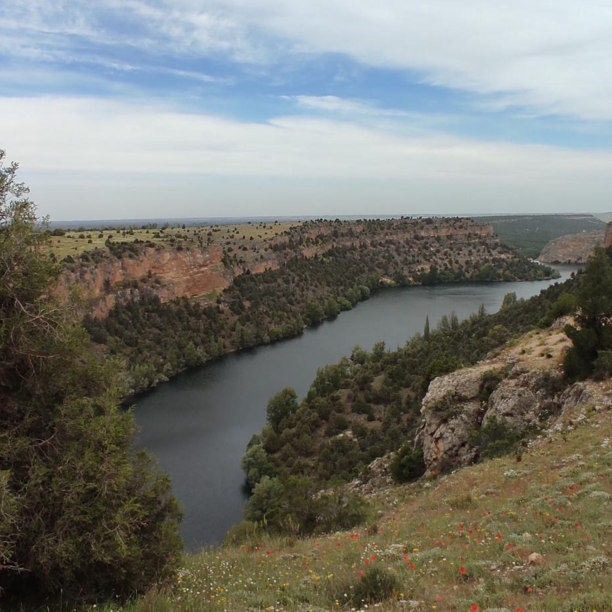
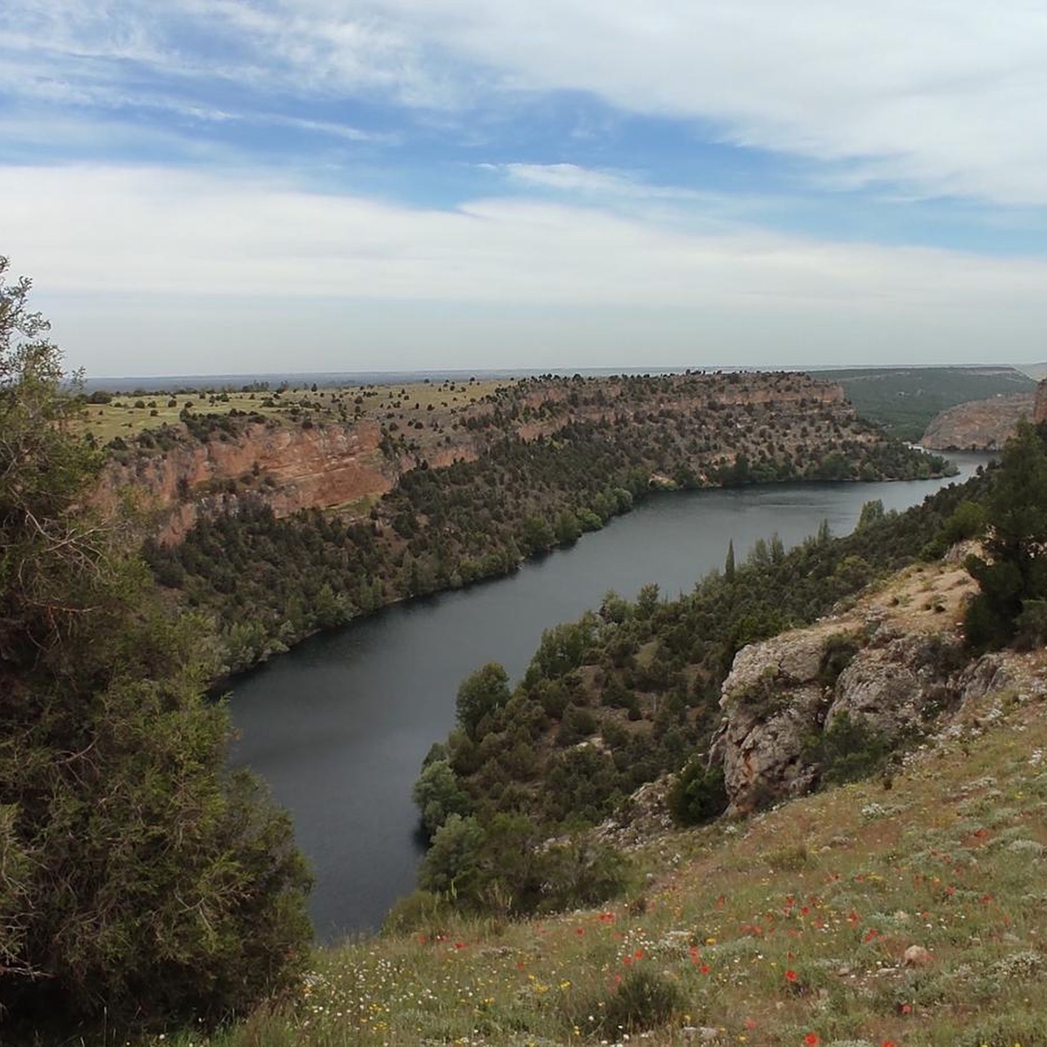
Population that is located in the old middle of the province of Segovia and that is characterized by being in a flat area where the protected natural area of the Hozes del Río Duratón is located to the north.
1
0
Close to the town of Cantalejo there are a set of lagoons that give this area a special landscape. Depending on the time of year, the lagoons are either full or dry, in summer.
1
0
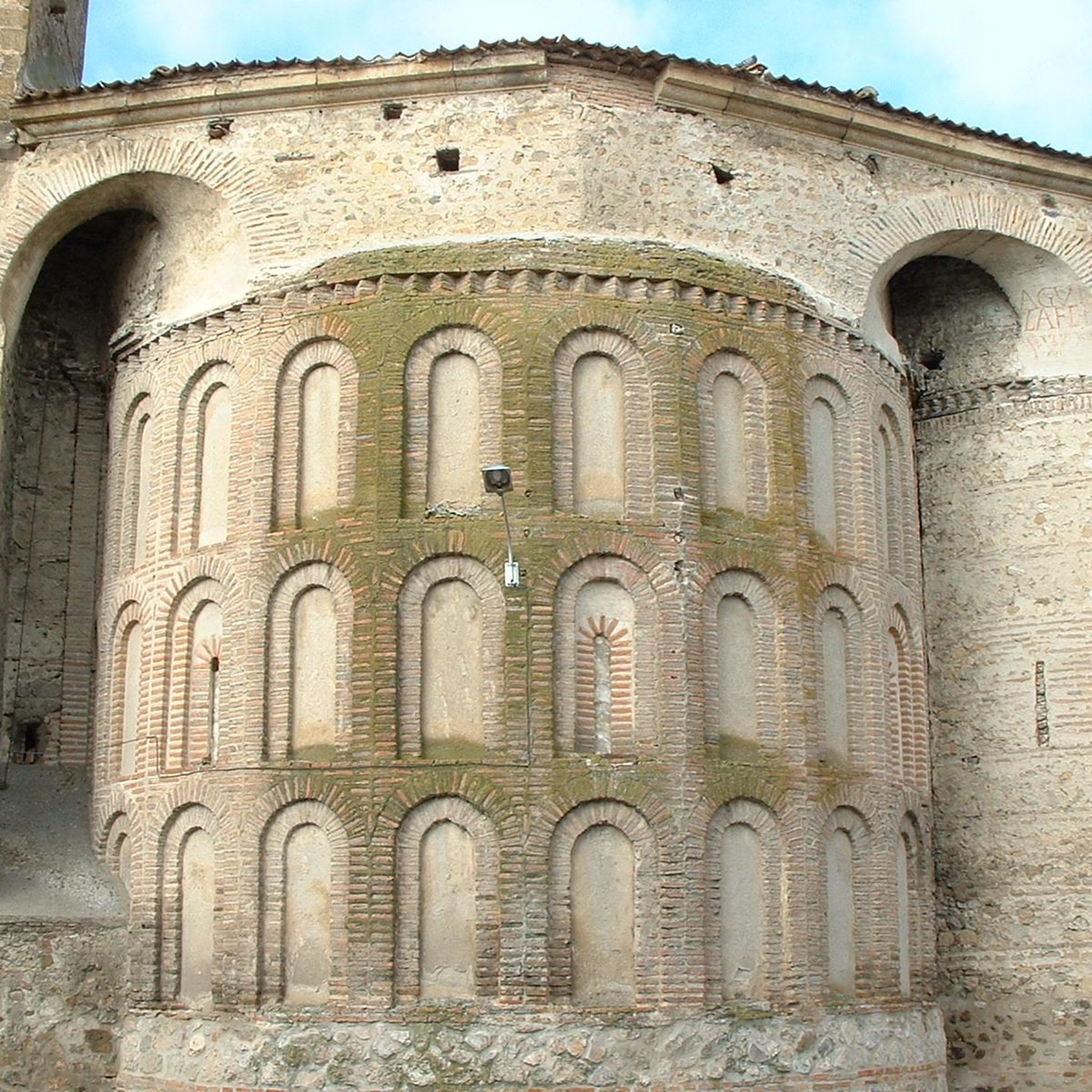
Fuentepelayo is one of those towns that is located in the old middle of the plain between the Sierra de Guadarrama and the Río Duero valley. It is characterized by having two churches at its core, the Iglesia de Santa María and the Iglesia de El Salvador.
0
0
Frequently Asked Questions
How many hiking trails are available around Aguilafuente?
Aguilafuente offers several hiking trails, with five routes detailed on komoot. These range from easy strolls to more moderate adventures, allowing you to explore the diverse landscapes of the region.
What kind of terrain can I expect on the hiking trails in Aguilafuente?
The trails around Aguilafuente are generally characterized by a flat topography with minimal elevation changes, making them accessible for most hikers. You'll mostly traverse extensive pine forests and follow paths alongside the Cega River, offering a serene and natural setting.
Are there easy hikes suitable for beginners or families in Aguilafuente?
Yes, Aguilafuente is well-suited for beginners and families due to its generally flat terrain. For an easy and pleasant walk, consider the Puente viejo loop from Mozoncillo, which is just over 3 km. Another great option is the Laguna de Sotillos Bajeros loop from Pinar de Regajales, offering a slightly longer, easy route through natural surroundings.
What natural features or landmarks can I see along the hiking trails?
The region is rich in natural beauty and historical sites. You can explore vast pine forests and enjoy picturesque views along the Cega River. Notable natural features include the Cantalejo Lagoons. Historically, the Roman villa site of Santa Lucía is a significant point of interest. Other nearby attractions include Turégano Castle and the Ermita de la Octava.
Are there any circular routes available for hiking in Aguilafuente?
Yes, several circular routes are available, perfect for starting and ending your hike in the same location. The Puente viejo loop from Mozoncillo and the Laguna de Sotillos Bajeros loop from Pinar de Regajales are both excellent easy circular options. For a moderate circular hike, consider the Fuentepelayo loop from Fuentepelayo.
What is the best time of year to hike in Aguilafuente?
Aguilafuente offers enjoyable hiking experiences throughout much of the year. Spring and autumn provide pleasant temperatures and vibrant scenery, ideal for exploring the pine forests and riverbanks. Summer can be warm, so early morning or late afternoon hikes are recommended. The generally flat terrain also makes it suitable for winter walks, though checking local weather conditions is always advisable.
Where can I park when hiking in Aguilafuente?
While specific parking areas for each trail are not always explicitly marked, Aguilafuente is a small town, and parking is generally available within the town itself or at the starting points of the more established routes. It's advisable to check local signage upon arrival.
Are there any longer or more challenging routes for experienced hikers?
For those seeking a longer and moderately challenging experience, the Cantalejo Lagoons Trail offers a substantial 16.6 km route. This trail allows you to delve deeper into the natural environment, including the pine forests and the vicinity of the Cantalejo Lagoons.
Can I bring my dog on the hiking trails in Aguilafuente?
Generally, dogs are welcome on hiking trails in natural areas around Aguilafuente. However, it's always best to keep your dog on a leash, especially in areas with wildlife or near agricultural land, and to ensure you clean up after them. There are no specific restrictions mentioned for the trails in this region.
Is public transport available to reach the hiking trails in Aguilafuente?
Aguilafuente is a rural town, and public transport options might be limited. While there may be bus services connecting to larger towns, direct public transport to specific trailheads is unlikely. It is generally recommended to travel by car to access the hiking routes in and around Aguilafuente for maximum flexibility.
Most popular attractions around Aguilafuente

Get inspired with the komoot mobile app


Explore more
Browse the best Hikes in other regions.
