The best road cycling routes around Mildenau
4.6
(315)
3,056
riders
15
rides
Road cycling routes around Mildenau are situated within the Erzgebirge mountains, offering diverse terrain at elevations between 470 and 770 meters above sea level. The region features well-developed cycling paths that traverse picturesque valleys such as the Schwarze Pockau, Schwarzwassertal, and Preßnitztal. This topography provides a mix of challenging ascents and enjoyable descents, suitable for various levels of road cyclists. The area is part of the Naturpark Erzgebirge/Vogtland, providing scenic routes through protected landscapes characterized by dense forests and varied…
Last updated: July 10, 2026
5.0
(2)
16
riders
30.1km
01:29
450m
450m
Moderate road ride. Good fitness required. Mostly well-paved surfaces and easy to ride.
4.0
(2)
9
riders
38.1km
01:54
600m
600m
Moderate road ride. Good fitness required. Mostly well-paved surfaces and easy to ride.

Sign up for free
5.0
(1)
6
riders
Moderate road ride. Good fitness required. Some segments of this route may be unpaved and difficult to ride.
5
riders
Moderate road ride. Good fitness required. Mostly well-paved surfaces and easy to ride.
5
riders
66.3km
03:22
1,090m
1,090m
Hard road ride. Very good fitness required. Mostly well-paved surfaces and easy to ride.
Get access to more routes and recommendations from other explorers.
Sign up for free
Already have an account?
Our route recommendations are based on thousands of hikes, rides, and runs completed by other people on komoot.
Start today with a free account
Your next adventure awaits.
Login or Signup
Tips from the Community


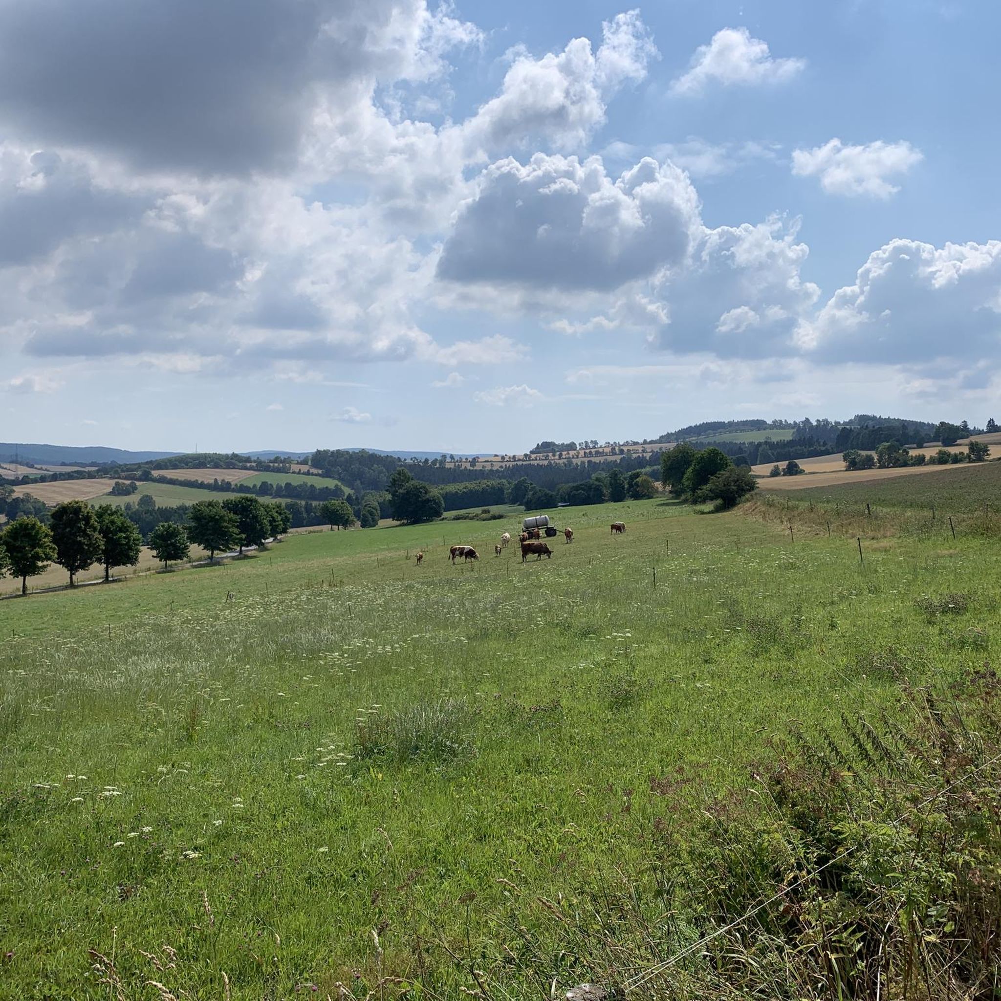
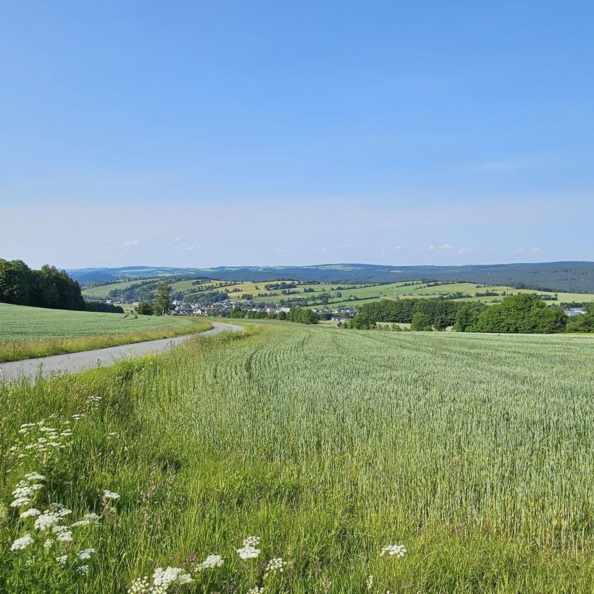
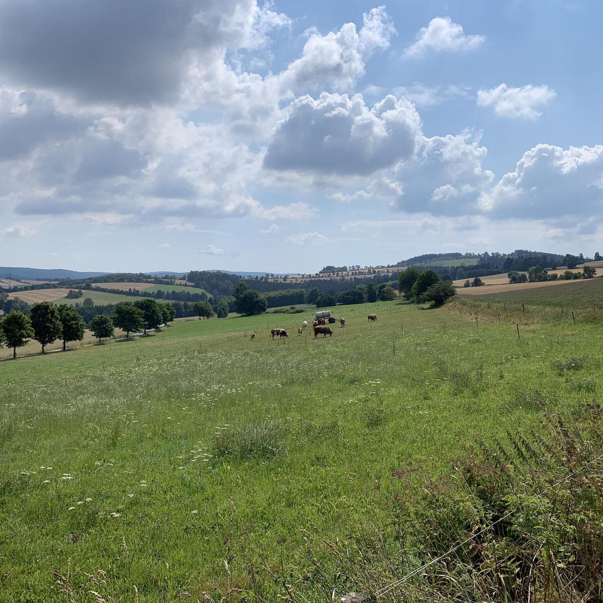
After Kühberg, the trail continues through the forest for a while before the panorama opens up towards Jöhstadt. We encountered very little traffic here, and the road was in good condition. It was fun to climb.
1
0
With every step, closer to the summit – the Fichtelberg climb on the Stoneman Miriquidi Road. From the intersection, it's not far anymore, and motivation gets a final boost.
1
0

The Catholic Church of St. Boniface belongs to the Catholic parish of "Mary, Mother of the Church." This parish stretches from Thum through Annaberg-Buchholz, Bärenstein, Oberwiesenthal, Marienberg, and Olbernhau to Neuhausen. In September 2021, St. Boniface celebrated the centenary of its consecration.
16
0
The first weather observer on this summit was the innkeeper of the Fichtelberghaus. He recorded his weather observations from 1890 onwards, but from 1898 onwards only intermittently, and from 1910 onwards not at all. The head of the Royal Saxon State Meteorological Observatory, Paul Schreiber, suggested the construction of a permanent weather observatory. Temperature, wind speed, and precipitation amounts have been continuously recorded here since January 1, 1916. The strongest storm recorded here was on January 3, 1976, with a peak gust speed of 216 kilometers per hour. The coldest day on the summit was February 9, 1956, with minus 30.4 degrees Celsius; the warmest was July 27, 1983, with plus 30.8 degrees Celsius. The highest snow cover was measured in March 1944: 3.35 meters. The year 1951 was bad for Fichtelberg tourists: it held the record for foggy days with 315.
13
1

If you're doing the Stoneman, this is your first short detour to the Czech Republic. The EU makes it easy 🇪🇺🙂
0
0

The station is located on the summit next to the Fichtelberghaus, but is not accessible.
5
0
Frequently Asked Questions
How many road cycling routes are available around Mildenau?
Mildenau offers a wide variety of road cycling experiences, with over 210 routes available. These routes cater to different skill levels, from easy scenic rides to more challenging ascents through the Erzgebirge mountains.
What kind of terrain can I expect on road cycling routes in Mildenau?
The terrain around Mildenau is diverse, characterized by the middle elevations of the Erzgebirge, ranging from 470 to 770 meters above sea level. You can expect a mix of challenging ascents and enjoyable descents, with routes traversing picturesque valleys such as the Schwarze Pockau, Schwarzwassertal, and Preßnitztal. The region features well-developed cycling paths, many of which are paved.
What are the difficulty levels of road cycling routes in Mildenau?
Mildenau's road cycling routes cater to all abilities. There are 19 easy routes perfect for a relaxed ride, 128 moderate routes offering a good balance of challenge and enjoyment, and 67 difficult routes for experienced cyclists seeking more demanding climbs and longer distances.
What natural features and viewpoints can I see along road cycling routes in Mildenau?
Road cycling routes in Mildenau offer stunning natural beauty. You can ride through picturesque valleys like the Schwarze Pockau and Schwarzwassertal, known for their diverse flora and rock formations. Panoramic views are abundant, with sights like the Greifensteine Observation Rock offering expansive vistas. Many routes also provide views of prominent landmarks such as Pölberg.
Are there any historical or cultural landmarks to explore near the road cycling routes?
Yes, Mildenau, as a historical Waldhufendorf, is rich in cultural heritage. You can encounter traditional farmhouses and charming churches. Nearby attractions include the Exhibition Mine Markus Röhling Stolln Frohnau and Frohnauer Hammer. For specific historical sites, consider exploring routes that pass near Wolkenstein Castle or Schlettau Castle.
What is the best time of year for road cycling in Mildenau?
The Erzgebirge region, including Mildenau, is generally best for road cycling from spring through autumn. During these seasons, the weather is typically mild, and the natural landscapes are at their most vibrant, offering ideal conditions for exploring the well-developed cycling paths and scenic valleys.
Are there road cycling routes suitable for beginners or families in Mildenau?
Yes, Mildenau offers 19 easy road cycling routes that are well-suited for beginners or families looking for a more relaxed ride. These routes typically feature less elevation gain and are designed to be enjoyable for all skill levels, allowing you to experience the region's beauty at a comfortable pace.
Are there any circular road cycling routes around Mildenau?
Many of the road cycling routes around Mildenau are designed as loops, allowing you to start and end at the same point. An example is the Jöhstadt–Grumbach Höhenstraße – View of Pölberg loop from Plattenthal, which offers a scenic circular journey through the elevated 'Höhenstraße' with views of Pölberg.
Is parking available for road cyclists in Mildenau?
While specific parking areas for cyclists are not detailed, Mildenau is a well-established community. It is generally possible to find parking in or near the village centers, especially close to trailheads or points of interest, from where you can easily start your road cycling tour.
Are there places to stop for refreshments or accommodation for cyclists in Mildenau?
Mildenau and the surrounding towns in the Erzgebirge are accustomed to outdoor enthusiasts. You will find various cafes, pubs, and guesthouses that cater to visitors. Many routes pass through villages where you can stop for a break or find accommodation, such as near the Brettmühle Inn mentioned in the Brettmühle Inn – Jöhstadt–Grumbach Höhenstraße loop from Ore Mountains route.
What do other road cyclists enjoy most about cycling in Mildenau?
The road cycling experience in Mildenau is highly rated by the komoot community, with an average score of 4.6 stars from over 280 reviews. Cyclists often praise the diverse terrain, the well-developed paths, and the scenic beauty of the Erzgebirge, including the picturesque valleys and panoramic viewpoints like those towards Pölberg.
Do road cycling routes in Mildenau feature significant climbs?
Yes, given its location within the Erzgebirge mountains, road cycling routes around Mildenau do feature significant climbs. The region's topography, with elevations up to 770 meters, ensures a good mix of challenging ascents and rewarding descents, making it appealing for cyclists who enjoy elevation gain. Routes like the View of Pölberg – Jöhstadt–Grumbach Höhenstraße loop from Grumbach navigate these rolling hills with notable elevation changes.
Are the road cycling paths around Mildenau generally paved?
The region boasts 'well-developed cycling paths,' and for road cycling, you can expect a good proportion of paved surfaces. While some routes might include sections on well-maintained gravel, the primary focus for road cycling is on smooth, rideable surfaces suitable for road bikes, especially along the designated cycling infrastructure.
Most popular routes around Mildenau
Most popular attractions around Mildenau

Get inspired with the komoot mobile app


Explore more
Browse the best Road cycling routes in other regions.
