The 3 Most Amazing Peaks around Ringerike
Best mountain peaks around Ringerike are found within a diverse landscape of rolling hills, deep forests, and tranquil lakes in this Norwegian district. The region, encompassing the municipalities of Hole and Ringerike, features notable mountain peaks that provide extensive views. It offers a variety of hiking experiences, from easily accessible paths to more challenging treks. The western part includes the Ådalsfjella mountain range, with peaks rising above 1,000 meters.
Best mountain peaks around Ringerike
- The most popular mountain peaks is…
Last updated: September 4, 2026
View from Gyrihaugen
Highlight • Viewpoint
Tip by

View of Steinsfjorden from Tiurtoppen
Highlight • Viewpoint
Tip by
Sign up now to discover places like this
Get recommendations on the best single tracks, peaks, & plenty of other exciting outdoor places.
Sign up for free
Hønefoss – Høgfjellet Hike
Highlight • Summit
Showing Translation
Tip by

Svarttjernshøgda
Highlight • Summit
Tip by

Oslo’s northernmost and highest point
Highlight • Summit
Tip by

Start today with a free account
Your next adventure awaits.
Login or Signup

Tips from the Community

This is both the highest and the northernmost point of the municipality of Oslo. Not ridable by any stretch, there is a 2 km hike up from the gravel road, but worth the detour. Nice view as well.
0
0

At 717 metres (2,352 ft), Svarttjernshøgda is the highest point in Nordmarka. It's a hike that's suitable for all, providing a good hillwalk for families. The main trail from the east is well-signposted throughout.
1
0

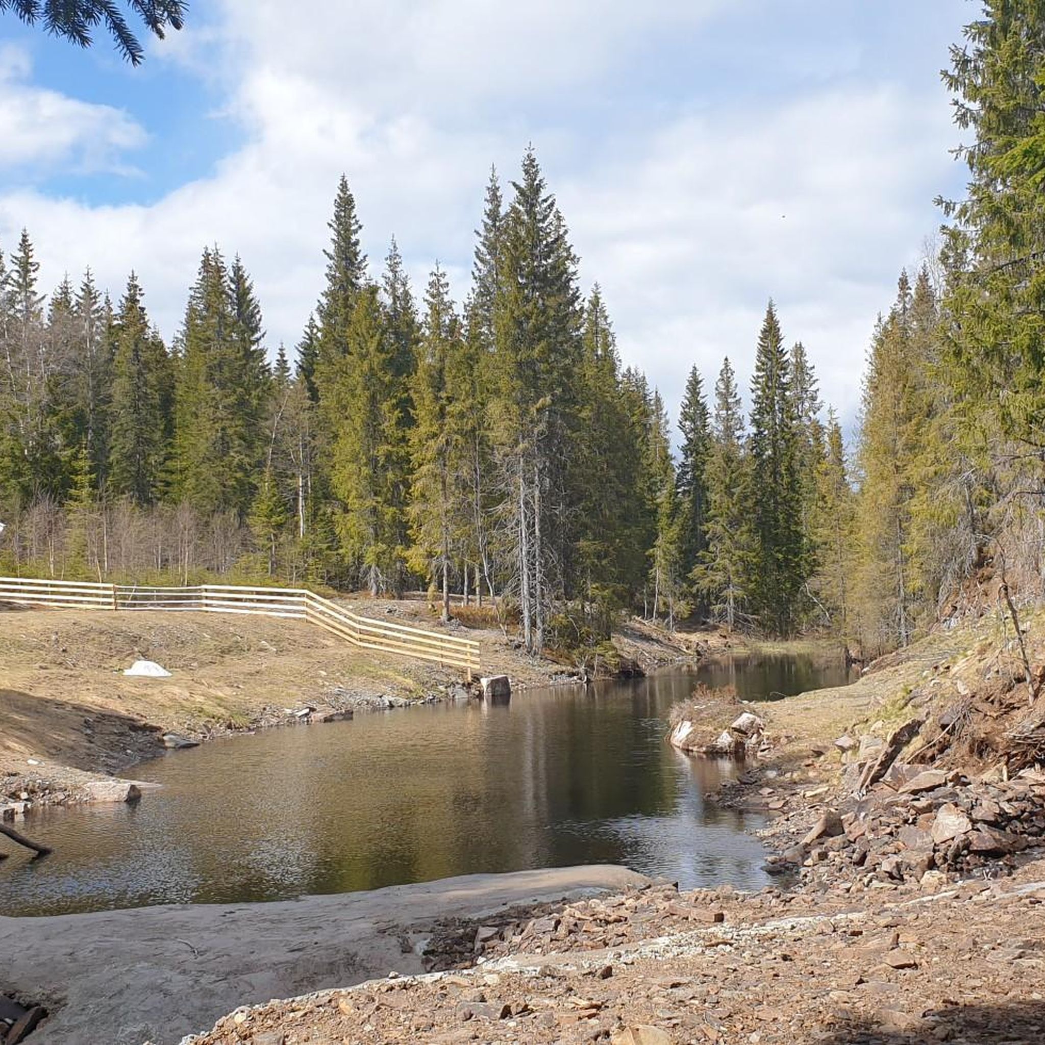
The tour to Høgfjellet near Hønefoss rewards with an exceptional view from the summit over the Norwegian landscape of Ringerike. The moderate ascent leads through impressively pristine nature. Waterproof hiking boots are recommended due to isolated boggy sections. The route is also accessible in winter, offering a completely different, atmospheric nature experience. Those who want to escape the hustle and bustle will find themselves in the right place here. The route is considered little frequented. Dogs must be kept on a leash.
0
0

Many rare plant species can be found in the area around Gyrihaugen and throughout the Mørgonga Nature Reserve, particularly alpine and heat-loving plants. One special feature is the European yew (Taxus baccata), whose flexible wood was once used for bows and crossbows 🏹
2
0

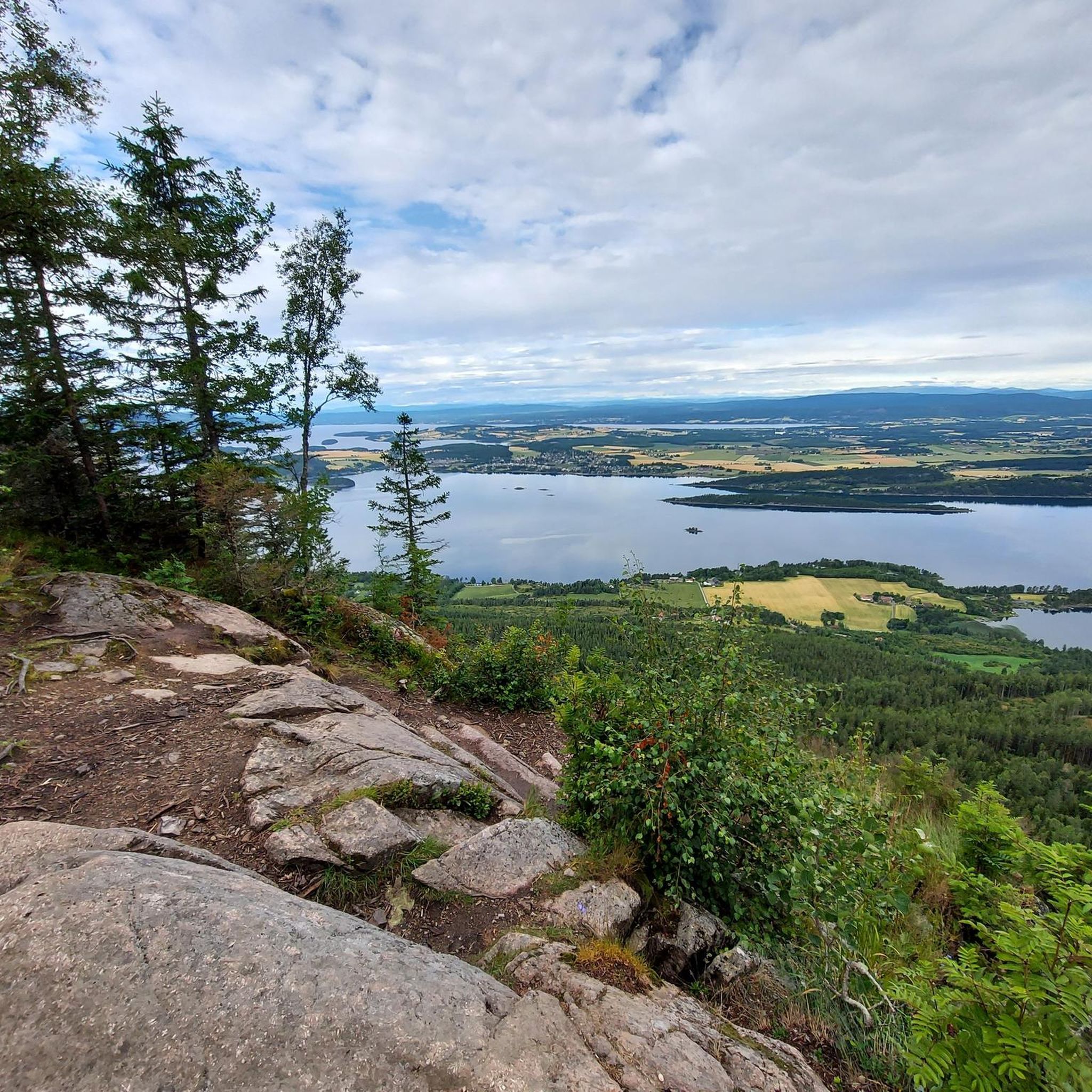
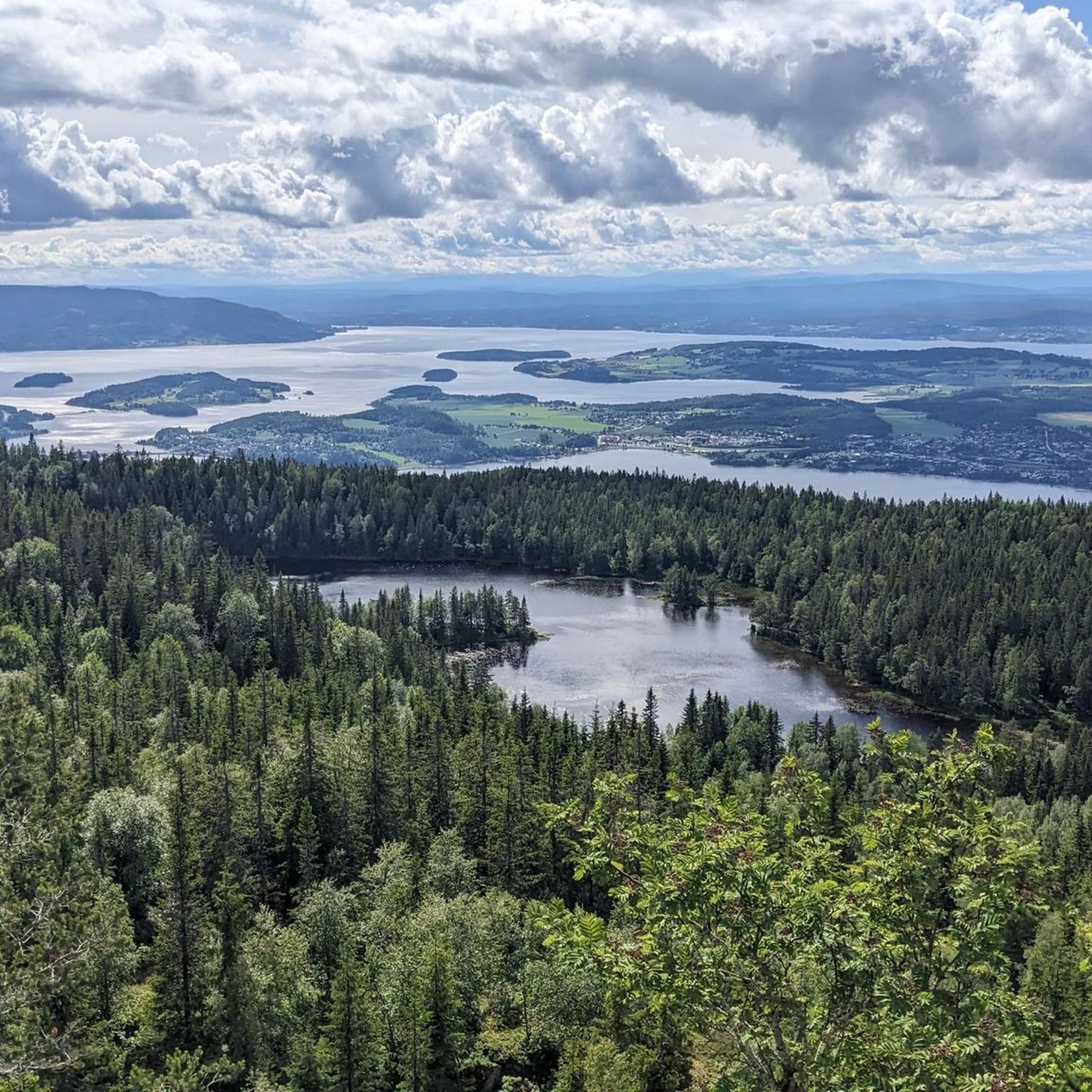
Rising 682 meters above sea level, Gyrihaugen rewards hikers with one of the best panoramic views in the Ringerike region. From the summit, you can see Steinsfjorden, the rolling forests of Nordmarka, and even the distant mountains on clear days.
2
0
Tiurtoppen is a fantastic hiking destination near Åsa in Ringerike, offering breathtaking panoramic views. A perfect spot to relax and enjoy the beauty of Steinsfjorden and the surrounding nature.
1
0

You can ride the road all the way to the top. Don´t mind the signs, construction work has ended.
0
0

Frequently Asked Questions
What are some popular mountain peaks for hiking in Ringerike?
Ringerike offers a variety of popular mountain peaks and viewpoints. For panoramic views, consider Gyrihaugen, which provides extensive vistas over the region and Tyrifjorden lake. Another excellent choice is Kongens Utsikt (The King's View), renowned for its sweeping views over Tyrifjorden. For a less frequented but equally rewarding experience, the Hønefoss – Høgfjellet Hike offers exceptional views over the Norwegian landscape.
Are there challenging mountain hikes in Ringerike?
Yes, for those seeking a challenge, the hike to Gyrihaugen can be combined with the dramatic Mørkgonga gorge. This section features a very steep path within a cliff, with ropes and cables installed to assist hikers. Additionally, the Ådalsfjella Mountain Range in western Ringerike includes peaks exceeding 1,000 meters, offering opportunities for more demanding hikes and potentially alpine conditions.
Are there family-friendly mountain peaks or viewpoints in Ringerike?
Absolutely. Kongens Utsikt (The King's View) is highly accessible and offers a very family-friendly, shorter hike of under 30 minutes each way from Kleivstua, making it an excellent choice for stunning views without an overly strenuous climb. While not explicitly listed as family-friendly, Tiurtoppen offers a pleasant hiking destination with breathtaking panoramic views that can be enjoyed by many.
What kind of natural features can I expect to see from Ringerike's mountain peaks?
From Ringerike's mountain peaks, you can expect to see diverse natural beauty. Highlights like Gyrihaugen offer panoramic views over the entire Ringerike region, the expansive Tyrifjorden and Steinsfjorden lakes, and the rolling forests of Nordmarka. On clear days, you might even see parts of the Oslo Fjord and distant mountains. The Mørkgonga gorge itself is a dramatic natural feature with a unique trench within a cliff.
What is the best time of year to hike the mountain peaks in Ringerike?
The best time to hike Ringerike's mountain peaks is generally during the warmer months, from late spring to early autumn, when trails are clear of snow and ice, and the weather is more stable. However, some routes, like the Hønefoss – Høgfjellet Hike, are also accessible in winter, offering a completely different, atmospheric nature experience for those prepared for colder conditions.
What outdoor activities can I do near these mountain peaks?
Beyond hiking, the Ringerike region offers a variety of outdoor activities. You can explore numerous cycling routes, including road cycling and gravel biking. For example, there are challenging road cycling routes like the Tverrbergkastet – Natvedt Camping loop from Hønefoss, and moderate gravel biking options such as the Forest Stream in Nordmarka loop. For more details on these activities, you can check out the Road Cycling Routes around Ringerike or Gravel biking around Ringerike guides.
Are there any specific natural reserves or unique flora to look out for?
Yes, the area around Gyrihaugen and throughout the Mørgonga Nature Reserve is rich in natural beauty and home to many rare plant species, particularly alpine and heat-loving plants. One special feature is the European yew (Taxus baccata), known for its flexible wood historically used for bows and crossbows.
What are some less-known or 'hidden gem' mountain trails in Ringerike?
For those looking to escape the crowds, the Hønefoss – Høgfjellet Hike is considered little frequented, offering an exceptional view from the summit over the Norwegian landscape of Ringerike through impressively pristine nature. It's a great option for a quieter mountain experience.
What should I wear when hiking in the Ringerike mountains?
When hiking in the Ringerike mountains, it's always recommended to wear appropriate layers, as weather conditions can change. For trails with isolated boggy sections, such as parts of the Hønefoss – Høgfjellet Hike, waterproof hiking boots are highly recommended. Always be prepared for varying terrain and potential changes in elevation and weather.
Are dogs allowed on mountain trails in Ringerike?
Yes, dogs are generally allowed on many trails, but it's important to note that they must be kept on a leash. This is a common regulation to protect wildlife and ensure the safety and enjoyment of all hikers. Always check local signage for specific rules in nature reserves or protected areas.
What is the historical significance of some viewpoints in Ringerike?
Kongens Utsikt (The King's View) holds historical significance as it was named after King Karl Johan's visit in the mid-19th century. This viewpoint has been celebrated for its panoramic vistas over Tyrifjorden and the surrounding region for centuries.
Most popular attractions around Ringerike

Get inspired with the komoot mobile app


Explore more
See even more amazing summits around Ringerike with these guides:
