The best walks and hikes around Miesenbach
4.6
(7973)
44,026
hikers
34
hikes
Hiking around Miesenbach offers varied terrain, characterized by forests, meadows, and hills. The region provides a network of trails that traverse diverse landscapes, from gentle paths to more challenging ascents. Hikers can explore areas featuring viewpoints and natural features. The routes cater to different fitness levels, providing opportunities for both leisurely walks and longer excursions.
Best hiking trails around Miesenbach
- The most popular hiking route is Gauermann loop - Rax and Schneeberg group, a 2.1 miles (3.3 km) trail…
Last updated: October 6, 2026
5.0
(6)
28
hikers
3.34km
00:58
90m
80m
Easy hike. Great for any fitness level. Easily-accessible paths. Suitable for all skill levels.
4.9
(80)
291
hikers
9.05km
03:30
570m
570m
Moderate hike. Good fitness required. Mostly accessible paths. Sure-footedness required.

4.6
(37)
189
hikers
9.68km
03:43
600m
600m
Moderate hike. Good fitness required. Mostly accessible paths. Sure-footedness required.
4.4
(14)
56
hikers
Moderate hike. Good fitness required. Easily-accessible paths. Suitable for all skill levels.
4.5
(4)
16
hikers
Moderate hike. Good fitness required. Mostly accessible paths. Sure-footedness required.
Get access to more routes and recommendations from other explorers.
Already have an account?
Our route recommendations are based on thousands of hikes, rides, and runs completed by other people on komoot.
Start today with a free account
Your next adventure awaits.
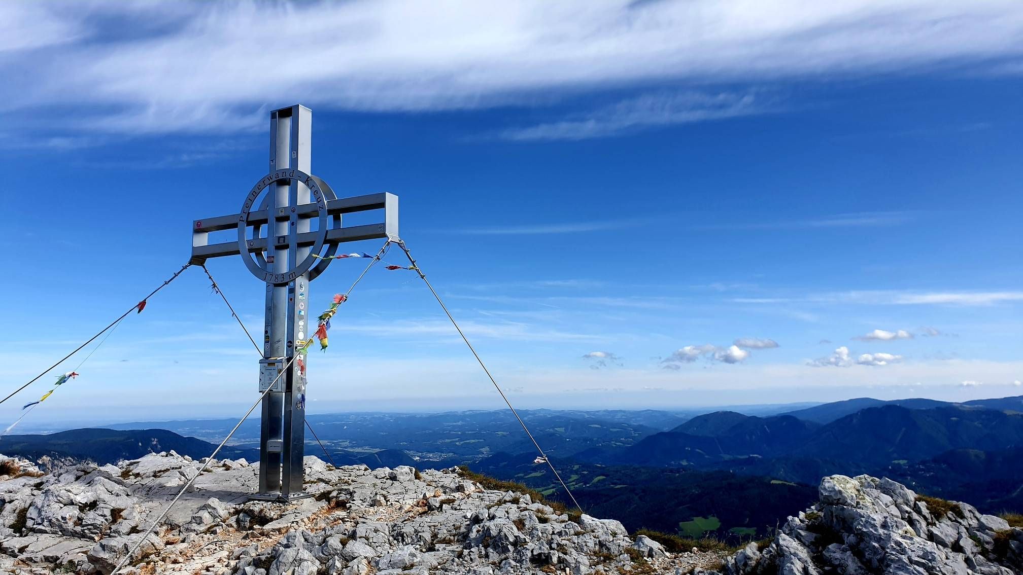
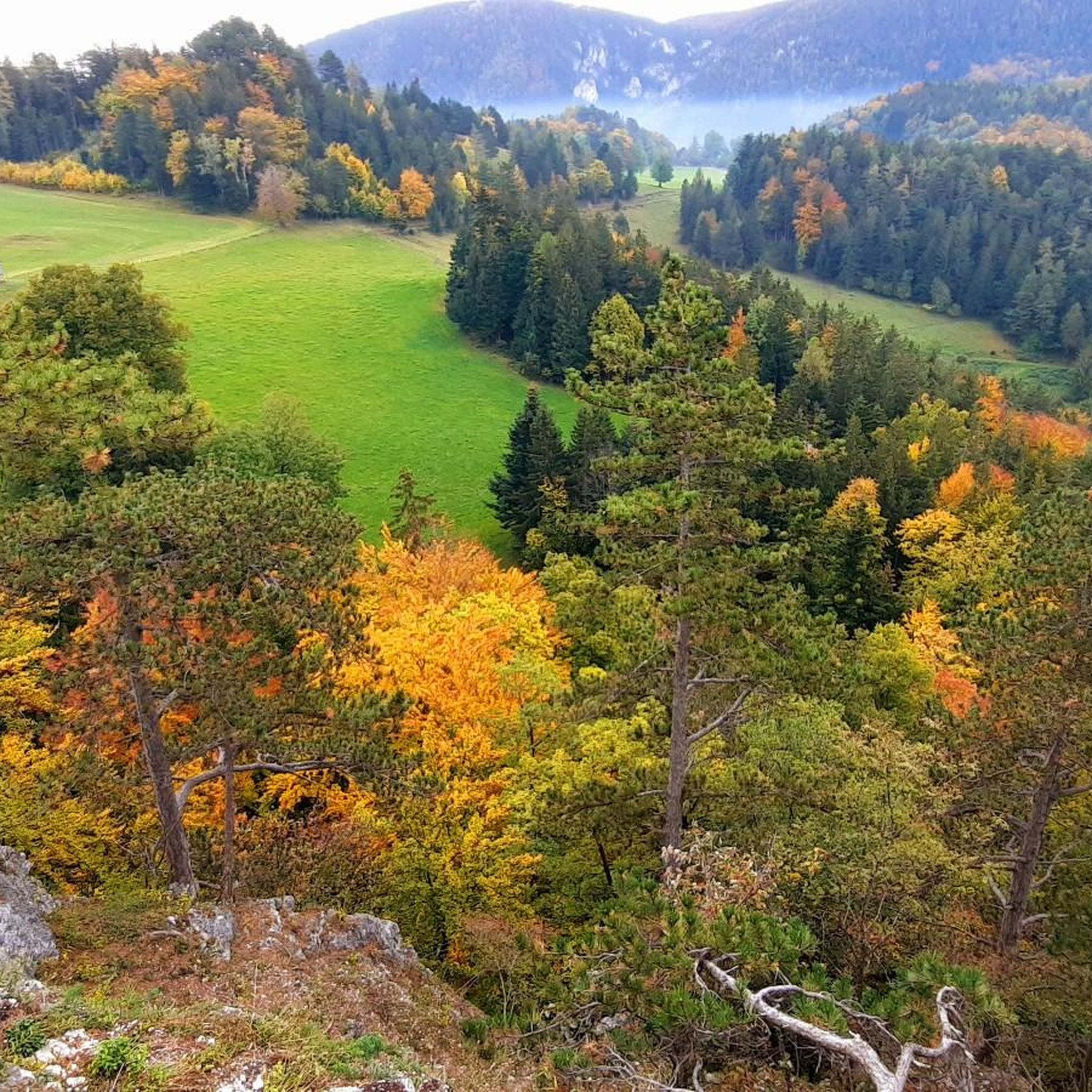
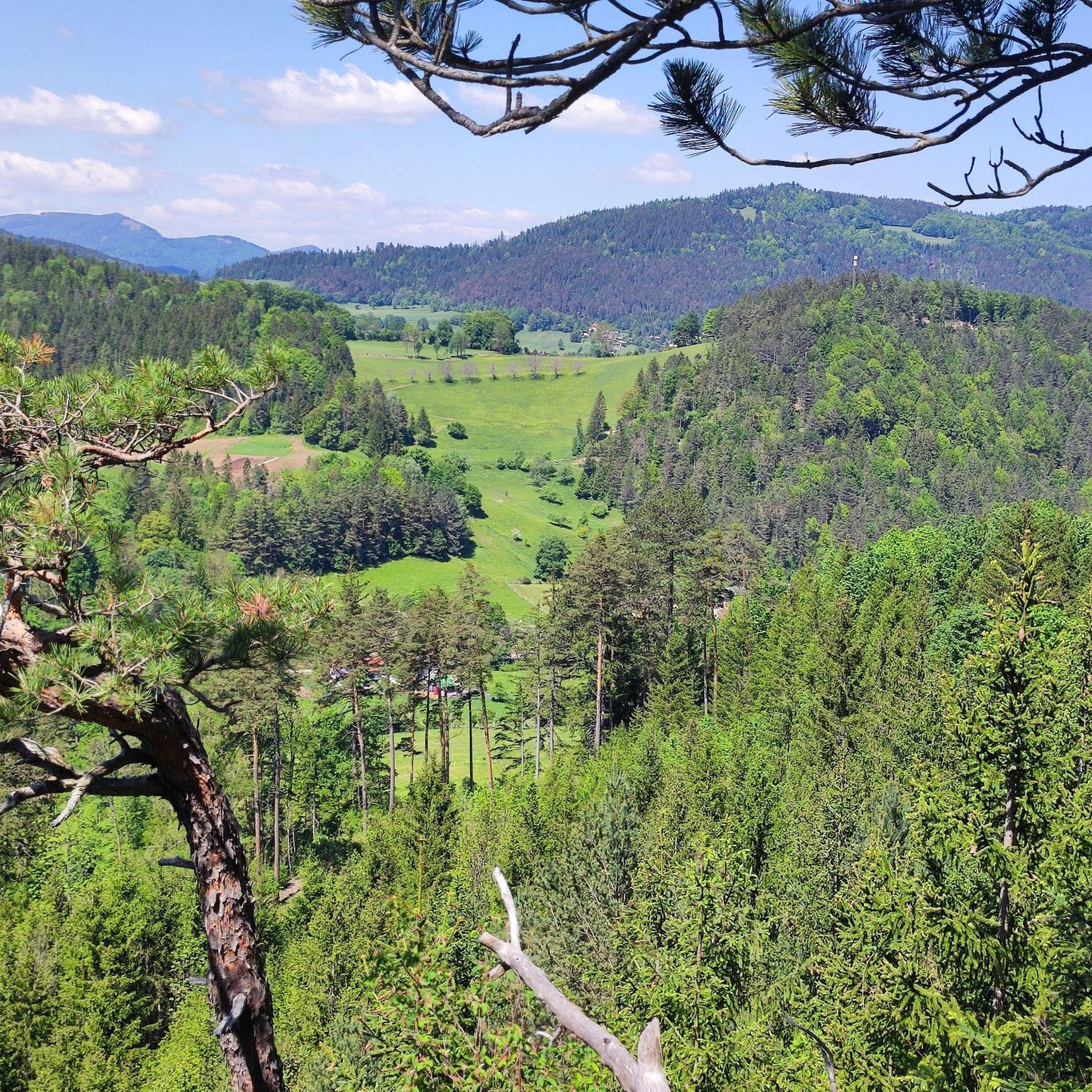

Other adventures around Miesenbach

Tips from the Community

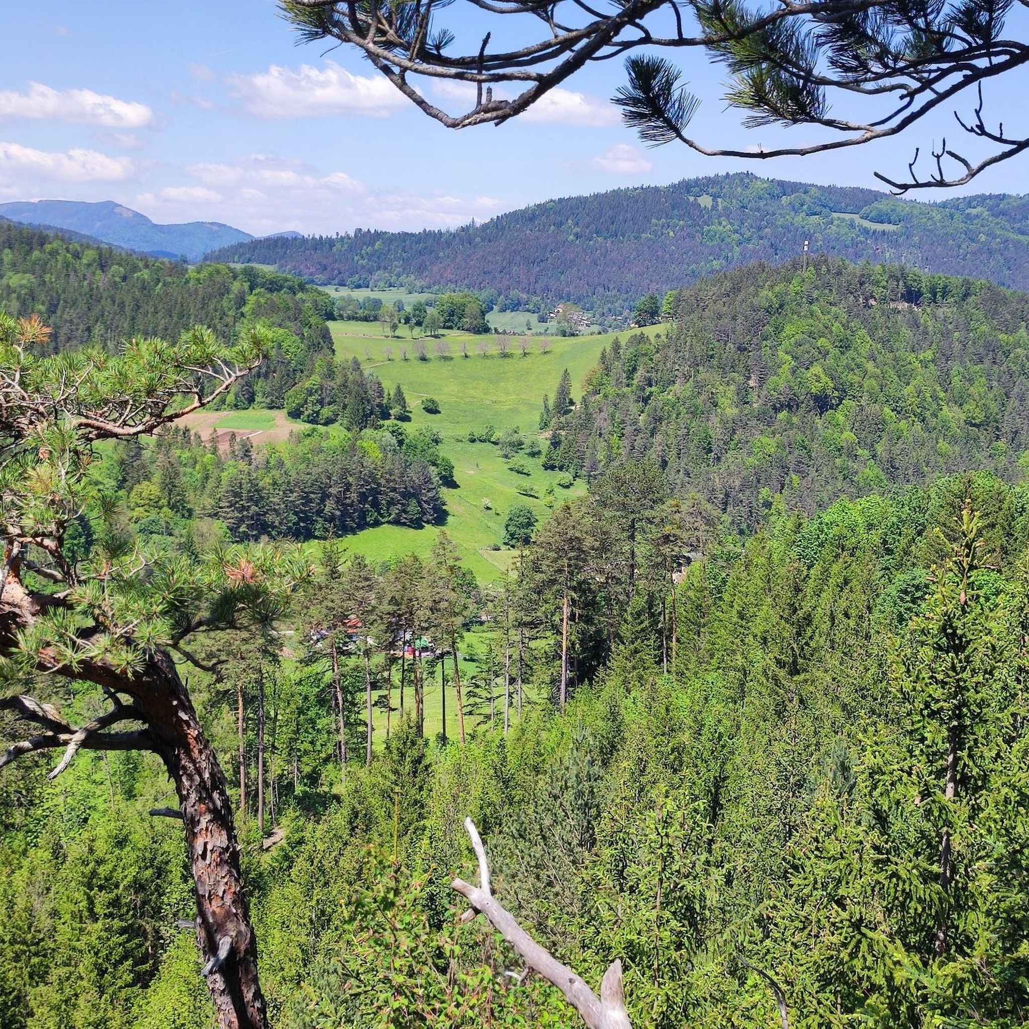
From this viewpoint, there is a beautiful view across to the Schneeberg and the surrounding mountain landscape. Especially in clear visibility, the striking massif is impressively showcased. A worthwhile spot for a short break and a beautiful photo opportunity along the route.
3
0
A small, quaint mountain hut in the middle of the forest, which is well suited for a short break. The simple hut is located quietly and somewhat secluded directly on the route and offers at least some shelter in bad weather.
4
0

From the parking lot at the church in Waidmannsfeld descend (into the village or directly on the unmarked Kirchensteig) to the Weitwanderweg 01 via the Wurzelsteig (steep section) to the Plattenstein (Gauermannhütte 1,154 m).
1
0
Dreamlike view from the terrace, down-to-earth cuisine perfectly prepared.
0
0
The desserts were a dream. The service was great.
1
0
The Malerwinkel memorial site is a highlight on the approximately 4 km long Gauermann circular hiking trail in Scheuchenstein (Miesenbach, Lower Austria), which follows in the footsteps of the Biedermeier painter Friedrich Gauermann.
0
0
The price-performance ratio is right. The boss Birgit as well as the Stückler family are very friendly and nice, and it is always very cozy with them. D
3
0
This bench deserves a long break the view is magnificent
1
0
Frequently Asked Questions
How many hiking trails are available in Miesenbach?
Miesenbach offers a diverse network of over 30 hiking trails. These routes cater to various preferences, including easy walks, moderate day hikes, and more challenging excursions.
Are there easy hiking trails suitable for beginners or families in Miesenbach?
Yes, Miesenbach features 6 easy hiking trails, perfect for beginners or families looking for a relaxed outdoor experience. For example, the Gauermann loop - Rax and Schneeberg group is a shorter, easy trail offering scenic views.
What kind of views can I expect on hikes around Miesenbach?
Hiking in Miesenbach provides opportunities for spectacular panoramas and breathtaking views. Many trails lead to viewpoints offering vistas of the Rax and Schneeberg mountain groups, as well as the Joglland-Waldheimat region. The Große Kanzel summit cross – Schneebergblick Viewpoint loop from Miesenbach is known for its panoramic views.
Are there any circular hiking routes in Miesenbach?
Yes, Miesenbach offers several circular routes. A popular option is the Gschaiderrast Viewpoint – Gauermann Hut loop from Waidmannsfeld, which provides a moderate challenge with significant elevation gain.
What are some notable natural attractions or landmarks to see while hiking in Miesenbach?
The Miesenbach region is rich in natural features and landmarks. You can explore areas with impressive peaks like Hausstein Summit and Krummbachstein. The area also features beautiful waterfalls such as Sebastian waterfall and the Myra Falls, as well as the dramatic Johannesbach Gorge.
What do other hikers enjoy most about hiking in Miesenbach?
The hiking trails in Miesenbach are highly rated by the komoot community, with an average score of 4.6 stars from over 1,600 reviews. Hikers often praise the varied terrain, the scenic viewpoints, and the well-maintained paths that traverse forests, meadows, and hills.
Are there any challenging hikes for experienced hikers in Miesenbach?
Yes, Miesenbach offers 4 difficult hiking trails for those seeking a greater challenge. These routes often feature narrow and steep paths, leading to areas like Plattenstein, Katharinenschlag, and the Öhler Schutzhaus, promising spectacular panoramas.
Can I find routes that lead to mountain huts or places to rest?
Absolutely. Several routes incorporate mountain huts, providing opportunities for rest and refreshments. The Gschaiderrast Viewpoint – Gauermann Hut loop from Miesenbach, for instance, leads to a hut after a significant ascent.
What is the typical duration for a moderate hike in Miesenbach?
Moderate hikes in Miesenbach can vary in duration. For example, the Gschaiderrast Viewpoint – Gauermann Hut loop from Tiefenbach, which covers nearly 10 km, typically takes around 3.5 hours to complete.
What kind of terrain can I expect on the trails?
The Miesenbach region is characterized by varied terrain, including extensive forests, open meadows, and rolling hills. You'll encounter a mix of gentle paths and more challenging ascents, often leading to elevated viewpoints.
Are there any specific trails that highlight the region's unique natural features?
The region is known for its diverse landscapes. The Wechselbergland High Route, for example, offers extensive trail systems that showcase the varied terrain, including forests and mountainous areas. The Floisenkogel-Wildwiesen route leads to the Wildwiesen observation tower, providing impressive panoramic views.
Most popular routes around Miesenbach
Most popular attractions around Miesenbach

Get inspired with the komoot mobile app


Explore more
Browse the best Hikes in other regions.
