The best walks and hikes around Peterborough
3.0
(2)
13
hikers
5
hikes
Hiking trails around Peterborough are characterized by a diverse landscape shaped by glacial activity, including drumlin fields and the Oak Ridges Moraine. The region features mixed forests, wetlands, and river systems like the Otonabee River. Elevations are generally gentle, with some hills rising about 20 meters above the surrounding terrain. This varied geography provides a range of hiking experiences from riverside paths to trails through old-growth forests.
Best hiking trails around Peterborough
- The most popular hiking route is Mark S.…
Last updated: October 17, 2026
4
hikers
8.98km
02:18
40m
40m
Moderate hike. Good fitness required. Easily-accessible paths. Suitable for all skill levels.
1
hikers
1.40km
00:23
20m
20m
Easy hike. Great for any fitness level. Easily-accessible paths. Suitable for all skill levels.

15.3km
03:52
30m
30m
Moderate hike. Good fitness required. Easily-accessible paths. Suitable for all skill levels.
3.0
(2)
6
hikers
2.04km
00:31
10m
10m
Easy hike. Great for any fitness level. Easily-accessible paths. Suitable for all skill levels.
2
hikers
7.77km
02:01
50m
50m
Moderate hike. Good fitness required. Easily-accessible paths. Suitable for all skill levels.
Our route recommendations are based on thousands of hikes, rides, and runs completed by other people on komoot.
Start today with a free account
Your next adventure awaits.
Popular around Peterborough
Tips from the Community

The Scenic River Road Trail used to be known as part of the Peterborough-Lakefield Rotary Greenway Trail. It stretches 15.6 kilometres from Trent University's Symons Campus to downtown Lakefield. The entire ride is scenic with waterfront views as the trail traces the east bank of the Otonabee River. The trail is made up of flat, smooth crushed gravel, and it is very easy to navigate. In winter, the trail is covered with snow but open to fat tire biking and cross-country skiing.
0
0
This is the Scenic River Road Trail's southern terminus and trailhead. Here you will find maps, benches and a covered picnic table. There is parking in Lot Q at Trent University's Symons Campus, but it is not free.
0
0
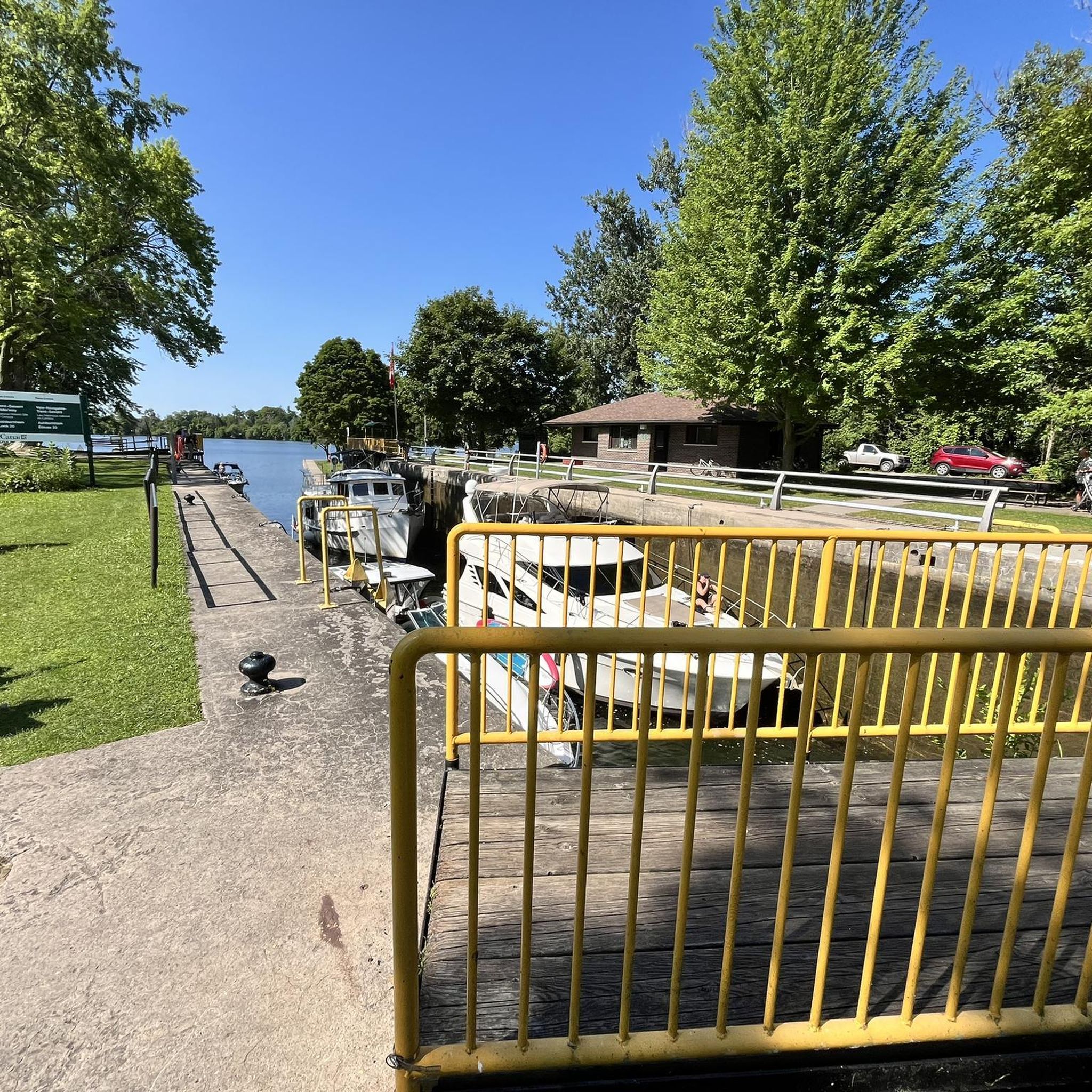
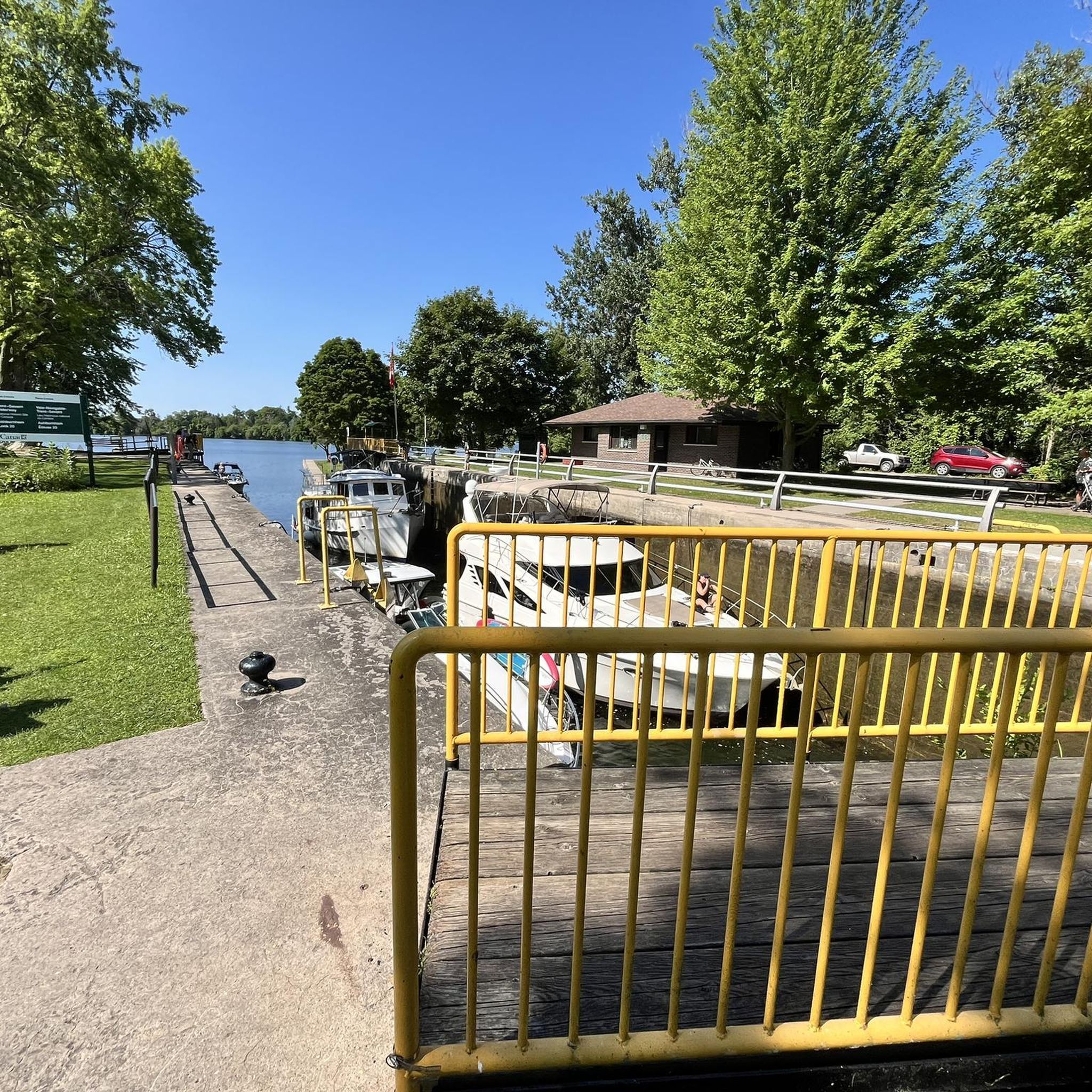
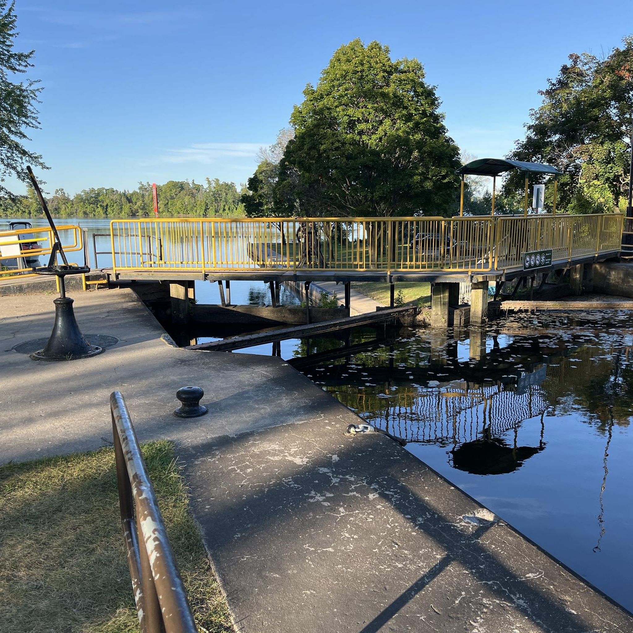
The Scenic River Road Trail stretches from Trent University to Lakefield. Here, in Lakefield, is where it becomes the Lakefield Trail. Lakefield is a small town that is popular for the scenic Lakefield Trail, Lock 26 on the Trent-Severn Waterway, and boutique shops in the downtown area. Before Europeans arrived the land belonged to the Mississauga First Nations, and when settlers came locks were built along with a railroad for manufacturing.
0
0

Jackson Park is a beautiful green space in the heart of Peterborough, often referred to as the city’s Central Park, designed between 1894 and 1895 by local engineer John Belcher. The park is a long, winding oasis along Jackson Creek, with a picturesque pond, open grassy areas, woodland trails, a playground, and picnic tables, making it a great spot to spend a few hours soaking up the natural beauty of one of Peterborough’s most beloved parks.
0
0
The Pagoda Bridge is a charming covered bridge over Jackson Creek, situated at the south end of Dixon Mill Pond in Jackson Park in the heart of Peterborough. Built between 1894 and 1895, it's a lovely example of Victorian architecture, with a distinctive bell cast roof that inspired its name. Designated as a heritage property by the City of Peterborough, the bridge is an important part of Jackson Park and its connection to the citizens who contributed to its restoration.
0
0
This lovely multi-use trail follows Jackson Creek through forested areas, open fields, and a beautiful wetland, providing a rich habitat for plants, wildlife, and birds the entire way. The route forms part of the Trans Canada Trail, connecting the Peterborough and Kawartha sections, beginning at Jackson Park, home to the historic Pagoda Bridge. In winter, the trail is machine-groomed for cross-country skiing, making it a great place to explore year-round.
0
0

There is a large crushed gravel parking lot off Highway 7 with access to the Mark S. Burnham trail system. You can find a restroom at the trailhead.
0
0
The park has a short, well-maintained hiking trail that takes you through a patch of old growth hemlock and maple forest. There are benches and informational signs along the path that help to make the walk family-friendly.
0
0
Frequently Asked Questions
What kind of hiking trails can I expect around Peterborough?
The Peterborough region offers a diverse range of hiking experiences, from leisurely strolls along riverside paths to more moderate treks through unique glacial landscapes. You'll find trails winding through mixed forests, wetlands, and even old-growth stands, often featuring the distinctive drumlin fields formed by glaciers. Many trails are multi-use, accommodating various activities throughout the year.
Are there any easy, family-friendly hiking options in Peterborough?
Yes, Peterborough has several easy trails suitable for families. For example, the Mark S. Burnham Trail loop is an easy 1.4 km route through ancient forests. Another great option is the Hiking loop from Trent University, which is 2 km and offers scenic views along the Otonabee River. These trails are generally flat and well-maintained, perfect for a relaxed outing.
Can I find circular hiking routes in the area?
Absolutely. Many of the trails around Peterborough are designed as loops, offering convenient circular routes. All three routes featured in this guide are circular, including the easy Mark S. Burnham Trail loop and the more moderate Hiking loop from Peterborough.
Are dogs allowed on the hiking trails in Peterborough?
Many trails in the Peterborough area are dog-friendly, provided dogs are kept on a leash. Conservation areas and provincial parks typically welcome leashed dogs. Always check specific trail regulations before you go, but generally, you'll find plenty of opportunities to explore with your canine companion.
What are some interesting natural features or landmarks to look out for while hiking?
Peterborough's landscape is shaped by its glacial history. You'll encounter prominent drumlin fields, like those found near Mark S. Burnham Provincial Park and Trent University. The Otonabee River is a central feature, offering scenic riverside paths. Other notable spots include the historic Doube's Trestle Bridge, and the unique limestone plains and caves at Warsaw Caves Conservation Area. The region is also rich in diverse forest types, including old-growth stands.
What is the best time of year to go hiking in Peterborough?
Peterborough offers great hiking opportunities year-round. Spring brings lush greenery and blooming wildflowers, while summer is ideal for enjoying the rivers and lakes. Autumn is particularly stunning, with vibrant fall colors, especially in areas like Mark S. Burnham Provincial Park. Winter provides a serene experience for snowshoeing and cross-country skiing on many multi-use trails.
Are there any longer, more challenging hikes available?
While many trails are easy to moderate, you can find longer options. The Hiking loop from Peterborough is a moderate 7.7 km route that offers a good workout. For even longer distances, sections of the Trans Canada Trail (The Great Trail), such as the Jackson Creek Kiwanis Trail or the Rotary Greenway Trail, can be combined for extended treks.
Where can I find parking for the hiking trails?
Most conservation areas, provincial parks, and trailheads in the Peterborough region offer designated parking facilities. For urban trails like those around Trent University or starting from Peterborough itself, street parking or public lots may be available. It's always a good idea to check specific trail information for parking details before your visit.
What do other hikers enjoy most about the trails in Peterborough?
The komoot community rates hiking in Peterborough highly, with an average score of 3.0 stars. Reviewers often praise the region's accessible natural beauty, the variety of landscapes from riverfronts to forests, and the well-maintained trail networks that cater to different skill levels. The peaceful atmosphere and opportunities for wildlife observation are also frequently highlighted.
Are there any trails suitable for wheelchairs or strollers?
While not all trails are fully accessible, many sections of the Rotary Greenway Trail and the Jackson Creek Kiwanis Trail (part of the Trans Canada Trail) are paved or have smooth, wide surfaces, making them suitable for wheelchairs and strollers. These trails often follow riverbanks and offer scenic, flat routes. Always check specific trail conditions for the most up-to-date accessibility information.
Can I reach any of the trailheads using public transport?
Yes, some trailheads, particularly those closer to the city of Peterborough and Trent University, are accessible via local public transport. For instance, the Hiking loop from Trent University starts directly from the university campus, which is served by Peterborough Transit. For trails further afield, a car is generally recommended.
What should I wear for hiking in Peterborough?
Given the varied terrain and weather, layered clothing is always a good idea. Comfortable, sturdy hiking shoes are essential, especially for trails that might be uneven or muddy. Depending on the season, bring insect repellent, sun protection, and rain gear. For winter hikes, warm, waterproof layers, hats, gloves, and appropriate footwear are crucial.
Most popular routes around Peterborough
Most popular attractions around Peterborough

Get inspired with the komoot mobile app


Explore more
Browse the best Hikes in other regions.
