The best walks and hikes around Michelbach an der Bilz
4.6
(279)
1,443
hikers
71
hikes
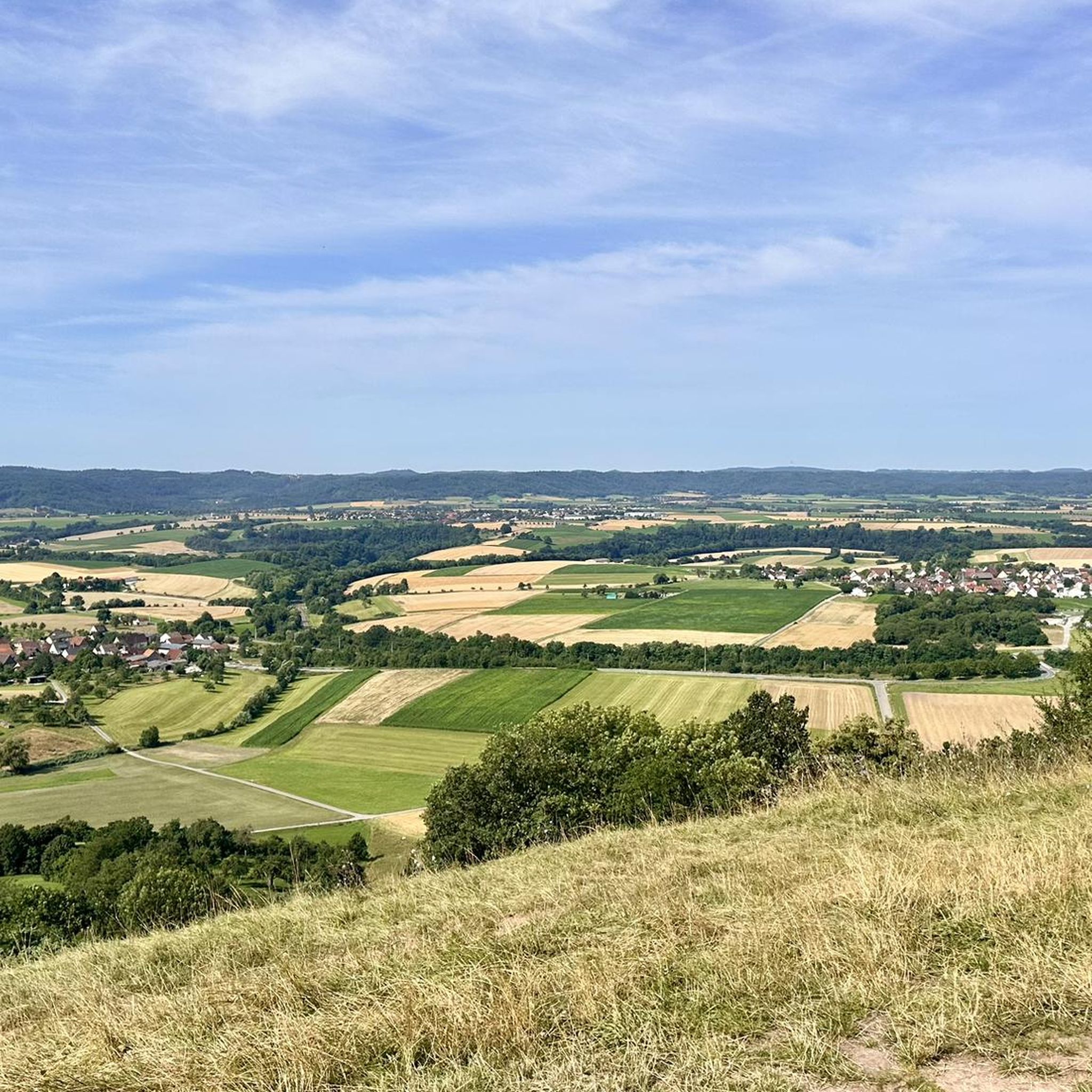
Hiking around Michelbach an der Bilz offers varied terrain characterized by rolling hills, lush meadows, and dense forests. The region is shaped by the small Bilz River, the scenic Kocher Valley, and the Limpurger Mountains, which feature open gypsum keuper landscapes. Hikers can also explore the Hohenloher Ebene, providing elevated viewpoints over the surrounding countryside. This diverse environment creates a compelling backdrop for outdoor activities.
Best hiking trails around Michelbach an der Bilz
- The most popular hiking route is Westheimer…
Last updated: October 7, 2026
4.7
(30)
101
hikers
Moderate hike. Good fitness required. Easily-accessible paths. Suitable for all skill levels.
4.8
(18)
54
hikers
Moderate hike. Good fitness required. Easily-accessible paths. Suitable for all skill levels.

4.8
(17)
88
hikers
Moderate hike. Good fitness required. Easily-accessible paths. Suitable for all skill levels.
4.3
(4)
34
hikers
Easy hike. Great for any fitness level. Easily-accessible paths. Suitable for all skill levels.
4.8
(5)
36
hikers
4.20km
01:08
60m
60m
Easy hike. Great for any fitness level. Easily-accessible paths. Suitable for all skill levels.
Get access to more routes and recommendations from other explorers.
Already have an account?
Our route recommendations are based on thousands of hikes, rides, and runs completed by other people on komoot.
Start today with a free account
Your next adventure awaits.
Tips from the Community

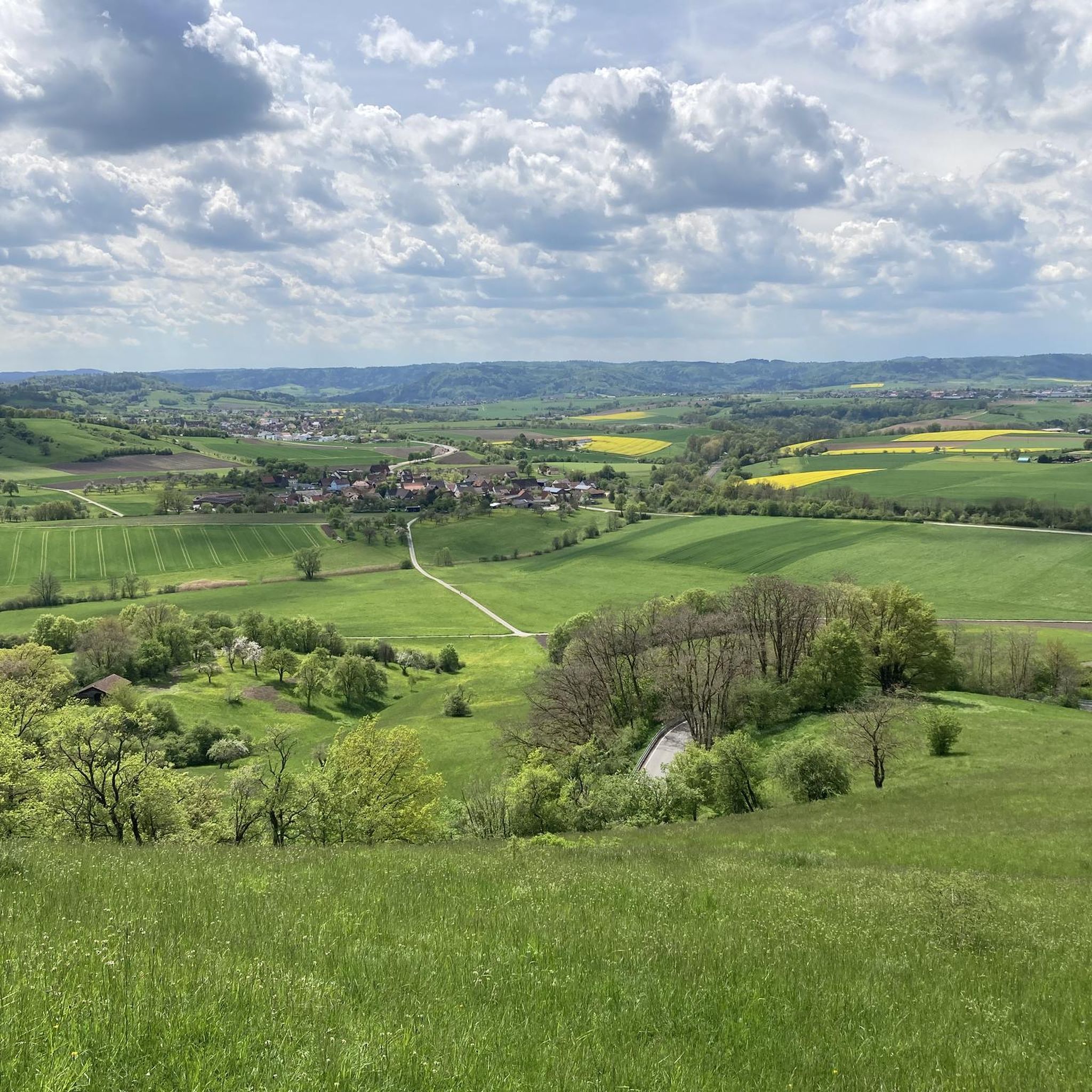
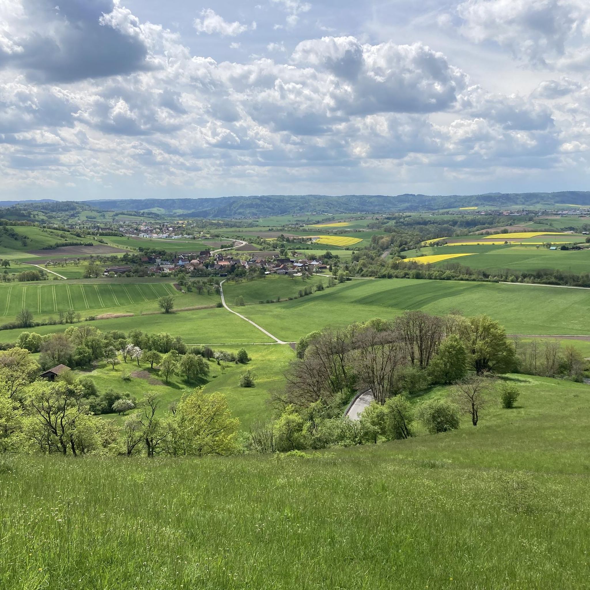
Great place for a stop. Very nice distant view in good weather.
0
0


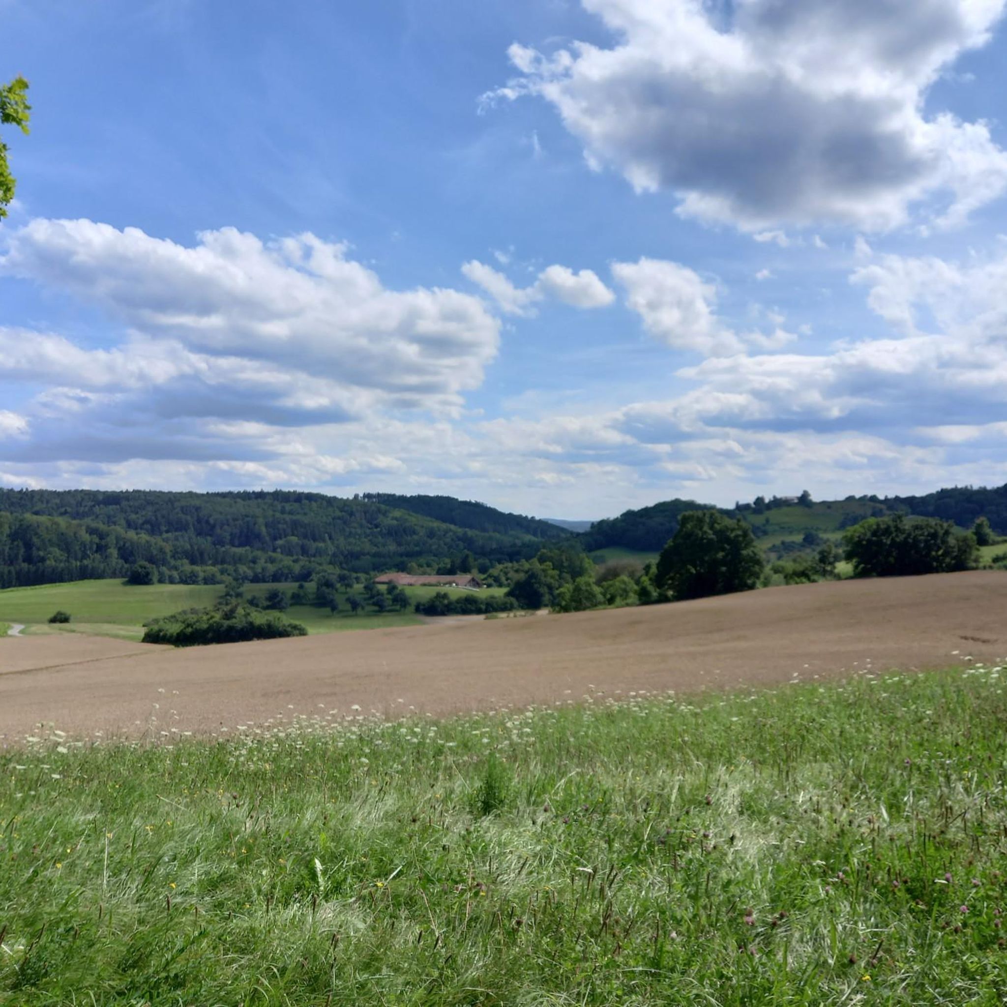
Clear view to the west;
0
0

Fine craftsmanship on today's scale… adapted to the past
8
0
Situated on a hill, up the Bildersteig, a monastery complex awaits you, parts of which can only be visited with a guide
10
0

Covered wooden bridge over the Kocher from which you also have a good view of the Großcomburg monastery.
6
0

mega view
0
1

What is different about the Großcomburg cloister? On the one hand, it is on the “wrong side”: the southern flank of the church would be usual. However, the terrain on the Großcomburg was such that the cloister had to be attached to the west end of the church. The ground on the long sides of the church would have sloped too steeply. Also a rare case: one of the four wings led like a tunnel under the Romanesque tower. It disappeared when the church was rebuilt in Baroque style - until it was excavated in the 20th century.
8
0
Frequently Asked Questions
How many hiking trails are available in Michelbach an der Bilz?
There are over 70 hiking routes around Michelbach an der Bilz, catering to various preferences. This includes 41 easy trails, 28 moderate routes, and 1 more challenging option, ensuring there's something for every hiker.
What is the best time of year to go hiking in Michelbach an der Bilz?
The ideal time for hiking in Michelbach an der Bilz is generally between April and October. During these months, the weather is typically warm and pleasant, making it comfortable for exploring the region's trails and natural beauty.
Are there any easy, family-friendly hiking trails in the area?
Yes, Michelbach an der Bilz offers several easy trails suitable for families. An excellent option is the Die Drei Linden Viewpoint – Trailhead Parking Lot loop, which is 6.5 km long and leads through local woodlands, offering pleasant viewpoints. Another easy route is the View of Einkorn loop, a 4.2 km path with gentle elevation changes.
What kind of terrain can I expect on the hiking trails?
The hiking trails in Michelbach an der Bilz feature varied terrain, including rolling hills, lush meadows, and dense forests. You'll encounter paths through open gypsum keuper landscapes in the Limpurger Mountains, as well as idyllic forest paths and riverside walks along the Bilz River and in the Kocher Valley.
Are there any trails with good viewpoints or panoramic vistas?
Yes, the region is known for its scenic viewpoints. The Hohenloher Ebene features an observation tower offering breathtaking panoramic views. Additionally, the local mountain, the 'Bilz,' provides wonderful vistas. The Einkorn Ruins and Viewpoint – Großcomburg Monastery loop specifically highlights a viewpoint, and the Die Drei Linden Viewpoint – Trailhead Parking Lot loop also offers scenic spots.
What do other hikers say about the trails in Michelbach an der Bilz?
The hiking routes in Michelbach an der Bilz are highly regarded by the komoot community, with an average rating of 4.6 out of 5 stars from over 180 reviews. Hikers often praise the diverse natural scenery, the well-maintained paths, and the variety of routes suitable for different fitness levels.
Are there any long-distance hiking opportunities near Michelbach an der Bilz?
Yes, for those seeking longer adventures, the region is part of the Kocher-Jagst-Trail, an approximately 200 km long-distance and circular hiking trail that traverses the Hohenlohe region. Additionally, parts of the historic Way of St. James (Jakobsweg) from Rothenburg to Speyer also pass through the area, offering extensive trekking possibilities.
Can I find circular hiking routes in Michelbach an der Bilz?
Many of the trails in Michelbach an der Bilz are designed as circular routes, allowing you to start and end at the same point. Examples include the Westheimer Martinskirche – Wilhelmsglück Quarry loop and the View of Michelbach an der Bilz – Friedrich Carl Eggel Memorial loop, both offering engaging round trips through the local landscape.
Are there any interesting landmarks or attractions to see along the hiking trails?
Yes, the area offers several points of interest. You can encounter historical sites like the Old Town of Schwäbisch Hall or the impressive Filseck Castle. Natural attractions include the scenic Starkholzbacher Lake, which is a pleasant bathing lake, and other bodies of water like Gnadental Reservoir and Haspel Lake.
Is public transport available to reach trailheads in Michelbach an der Bilz?
While specific public transport connections to every trailhead can vary, Michelbach an der Bilz is generally accessible. It's advisable to check local bus schedules or regional transport options to plan your journey to specific starting points for the trails.
Are there any trails that pass by water features like rivers or lakes?
Yes, the region is characterized by its water features. The small Bilz River flows through the town, offering pleasant riverside walking paths. Many routes also traverse the idyllic Kocher Valley, and you can find trails that pass by various ponds and lakes, including the popular Starkholzbacher Lake.
Most popular routes around Michelbach an der Bilz
Most popular attractions around Michelbach an der Bilz

Get inspired with the komoot mobile app


Explore more
Browse the best Hikes in other regions.
