The best walks and hikes around Michelau in Oberfranken
4.7
(526)
1,426
hikers
152
hikes
Hiking around Michelau in Oberfranken offers diverse landscapes, from the scenic Main River valley to forested hills and tranquil lake environments. The region is characterized by the Main River floodplains, providing opportunities to observe local wildlife, and elevated points like Hohe Aßlitz. Situated at the foot of the Naturpark Fränkische Schweiz-Veldensteiner Forst, this area presents a varied terrain suitable for outdoor activities.
Best hiking trails around Michelau in Oberfranken
- The most popular hiking route is Hohe Asslitz Summit – Michelau…
Last updated: July 11, 2026
4.6
(18)
44
hikers
Moderate hike. Good fitness required. Easily-accessible paths. Suitable for all skill levels.
4.5
(11)
28
hikers
Moderate hike. Good fitness required. Easily-accessible paths. Suitable for all skill levels.

Sign up for free
4.6
(16)
56
hikers
Easy hike. Great for any fitness level. Easily-accessible paths. Suitable for all skill levels.
4.7
(15)
41
hikers
Easy hike. Great for any fitness level. Easily-accessible paths. Suitable for all skill levels.
4.7
(10)
27
hikers
8.84km
02:24
130m
130m
Moderate hike. Good fitness required. Easily-accessible paths. Suitable for all skill levels.
Get access to more routes and recommendations from other explorers.
Sign up for free
Already have an account?
Our route recommendations are based on thousands of hikes, rides, and runs completed by other people on komoot.
Start today with a free account
Your next adventure awaits.
Login or Signup
Popular around Michelau in Oberfranken

Wine, woods & walking trails — Best of VGN hiking tips
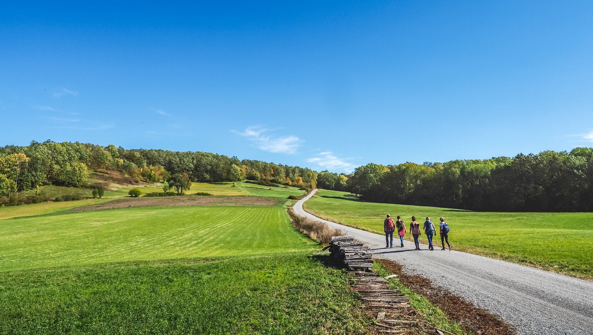
Wine, woods & walking trails — VGN hiking tips for 2020
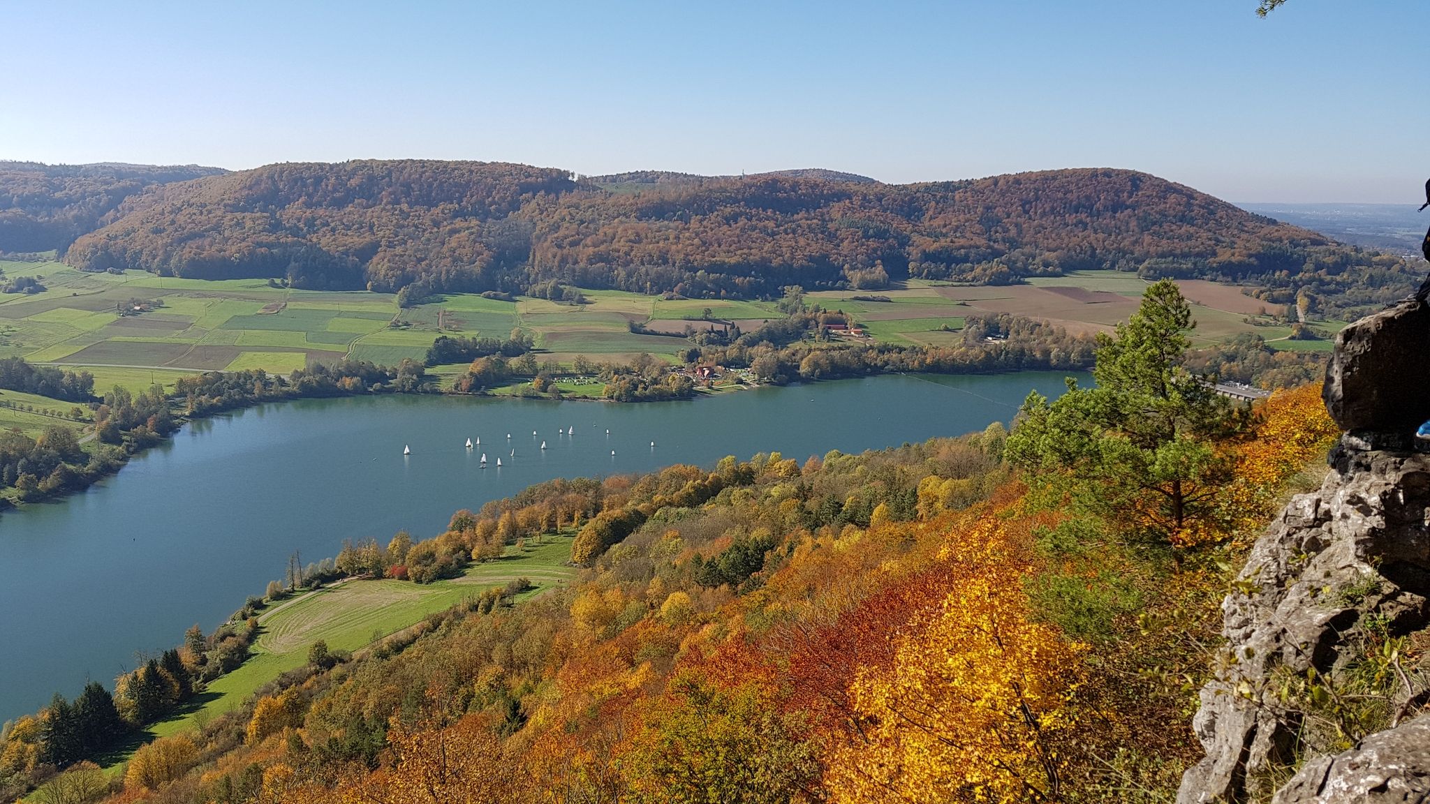
Colourful leaves & gentle hills – hiking in autumn in Franconia
Cycling around Michelau in Oberfranken
Road Cycling Routes around Michelau in Oberfranken
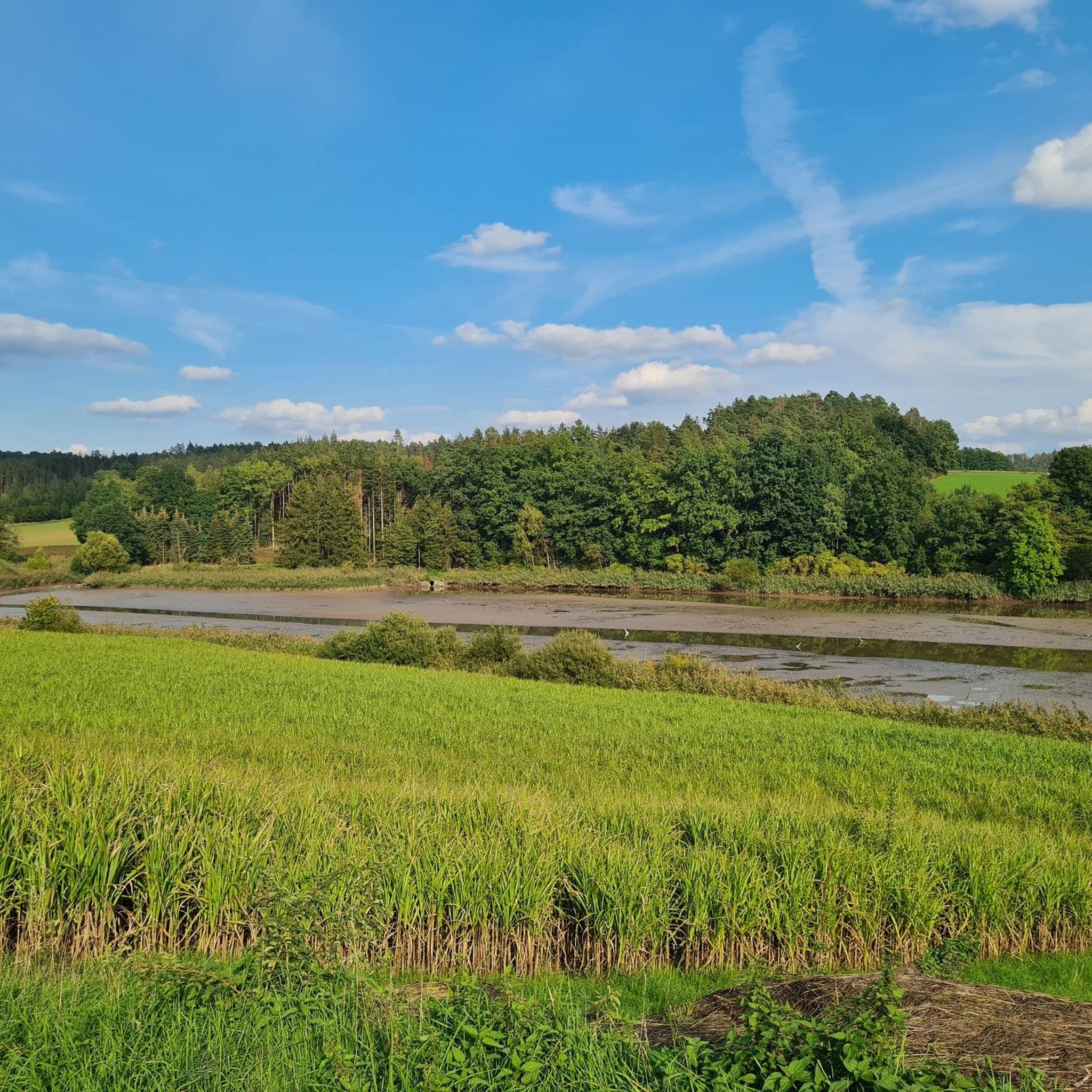
MTB Trails around Michelau in Oberfranken
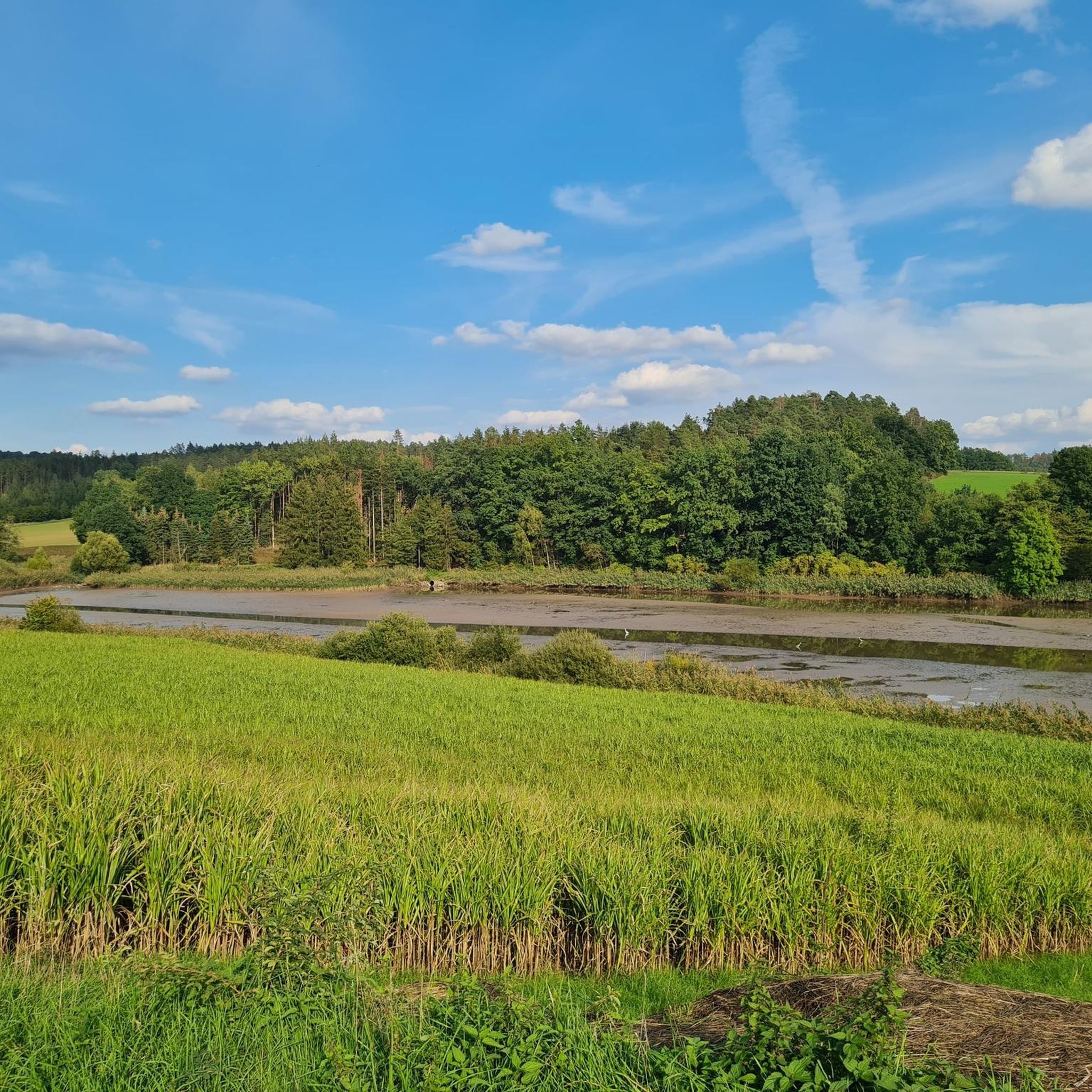
Running Trails around Michelau in Oberfranken
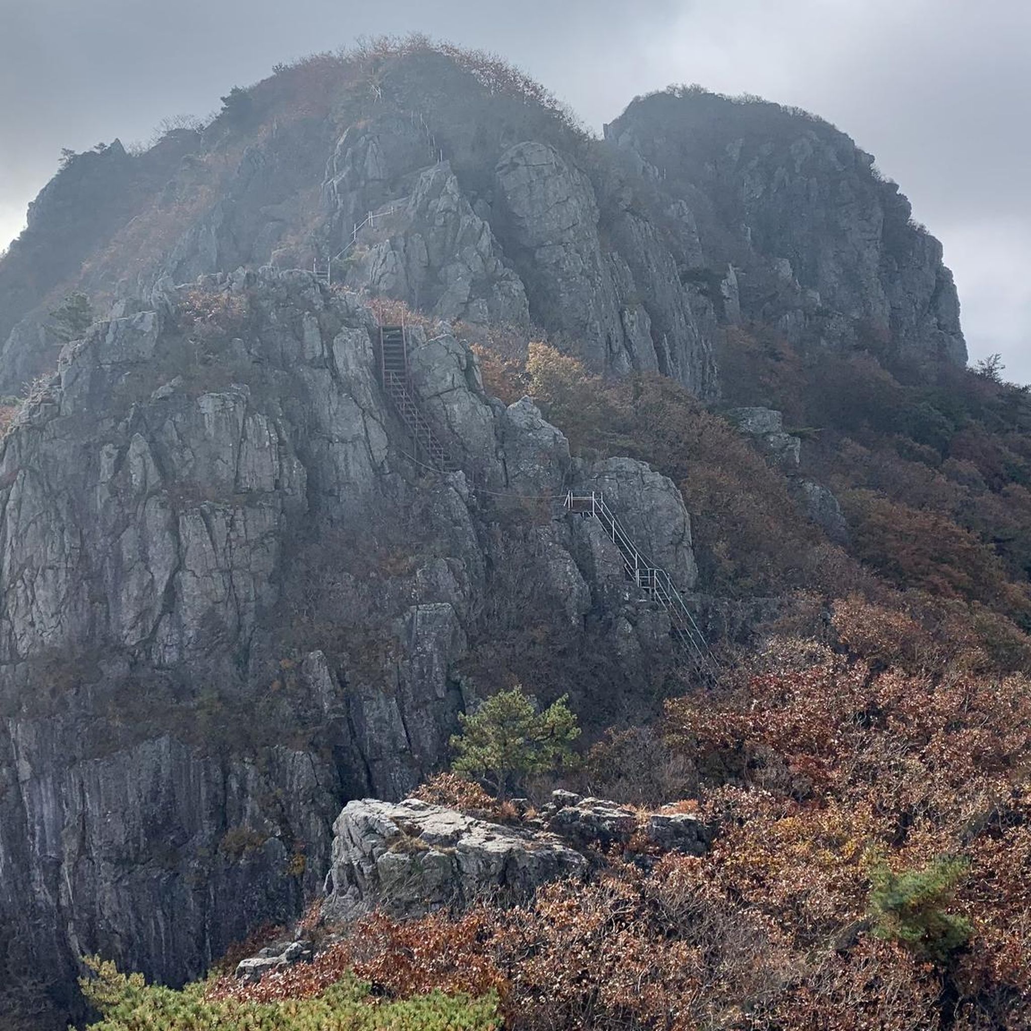
Gravel biking around Michelau in Oberfranken
Other adventures around Michelau in Oberfranken


Tips from the Community

Sun loungers and umbrellas are ready, right on the shore of the Rudufersee lake. You can swim or rent pedal boats, and snacks and drinks are also provided. Pure holiday feeling! The Karibisches Eck (right on the Rudufersee/Oberwallenstädter Baggersee lake) is open seasonally from April 1st to September 15th. The regular opening hours are daily from 11:00 AM to 10:00 PM. On particularly hot days, the team is sometimes open from 11:00 AM to 8:00 PM.
1
0

Nice path around the lake 👍
0
0

Now the path leads us directly along the pond. The last two information boards "fresh fish" 12 and Neuenseer Weiher" 13 point to the long-standing fish farming tradition. The coots and great crested grebes will announce you loudly. [ Source: from the flyer Nature Trail "Around the Neuenseer Weiher" ]
1
0
Information about the former water supply in Neuensee is told to us by the information board "Tiefbrunnen" 9. Here everyone can enjoy fresh spring water directly from the well. [ Source: from the nature trail flyer: "Rund um den Neuenseer Weiher" ]
1
0
The former bathing area invites children to explore and discover. A wild bee hotel, bat boxes, and the "Wasser" 4 information board complement this romantic spot by the former beer cellar and waterworks. [ Source: from the flyer Nature Trail: "Rund um den Neuenseer Weiher" ]
1
0


Beautiful lake with swimming area. Sunbathing lawn, pedal boat and lounger rental.
0
0
You should look at the map before locating anything. The White Main River ends near Kulmbach, and at Michelau, only the Main River remains.
1
0
Frequently Asked Questions
How many hiking trails are available in Michelau in Oberfranken?
Michelau in Oberfranken offers a wide variety of hiking opportunities, with over 140 routes available. These range from easy strolls to more challenging day tours, ensuring there's something for every fitness level.
What is the best time of year to go hiking in Michelau in Oberfranken?
The most pleasant seasons for hiking in Michelau in Oberfranken are spring and autumn. In spring, you can witness nature awakening with lush greenery, while autumn offers vibrant foliage and comfortable temperatures. Summer is also suitable, but it's advisable to start early to avoid the midday heat.
What kind of landscapes can I expect to see while hiking here?
The region boasts diverse landscapes, including the scenic Maintal (Main Valley) with panoramic views, especially from elevated points. You'll also find tranquil Mainauen (Main floodplains) where you might spot storks, as well as forests, meadows, and idyllic stream and lake environments like the Rudufersee.
Are there easy hiking trails suitable for beginners or families?
Yes, Michelau in Oberfranken has many easy trails perfect for beginners or families. For instance, the Rudufersee Nature Trail – Rudufersee loop from Michelau in Oberfranken is an accessible 2.4 km (1.5 miles) path around the lake. The region also features a dedicated "Kinderweg" (Children's Path) designed to combine nature experiences with educational information.
Can I find circular hiking routes in Michelau in Oberfranken?
Absolutely. Many trails in the area are circular, allowing you to start and end at the same point. Examples include the Titus Cave – Hohe Asslitz Summit loop from Michelau in Oberfranken and the Hohe Asslitz Summit – Michelau Cellar Tavern loop from Michelau in Oberfranken. The "Pfad der Flechtkultur" is also a thematic circular trail connecting Michelau with Lichtenfels.
What natural features or landmarks can I discover on the trails?
Hikers can explore a wealth of natural and historical landmarks. Notable features include the Rudufersee with its nature trail, the Hohe Asslitz summit offering rewarding views and interesting rock formations, and the historical Titus Cave. You can also find the ancient burial ground on Schanzberg and the scenic Secluded Reginasee.
Are there any historical or cultural points of interest along the routes?
Yes, the region is rich in history and culture. You can hike to the impressive Burgruine Neideck, which offers spectacular panoramic views. The "Pfad der Flechtkultur" highlights Michelau's traditional basket-making craft, and the area around Schanzberg features Oberfranken's largest burial ground, hinting at ancient Celtic settlements.
Where can I find rewarding viewpoints during my hike?
For breathtaking views, consider trails leading to the Hohe Asslitz summit or the Burgruine Neideck, both offering expansive vistas over the Maintal. The Wildhügel also provides beautiful views over the valley, and the Graitzer Spitzberg is another impressive viewpoint along the Gottesgartenrundweg Nord.
Are the hiking trails in Michelau in Oberfranken dog-friendly?
Many trails in Michelau in Oberfranken are suitable for hiking with dogs. It's always recommended to keep your dog on a leash, especially in nature reserves or near livestock, and to carry water for both yourself and your pet. Always respect local signage regarding dog access.
Are there places to rest or get refreshments along the hiking trails?
Yes, hikers can find opportunities to rest and enjoy refreshments. The traditional Kellerwirtschaft Michelau is a popular spot. Additionally, the Staffelberg Inn is a well-known hut in the surrounding area that can be integrated into longer hiking plans.
How can I access the hiking trails using public transport?
Michelau in Oberfranken is generally accessible by public transport, particularly by train. The local train station provides connections, and some bus routes serve the area. It's advisable to check local bus schedules and routes to plan your access to specific trailheads, as coverage can vary.
Is parking available near the trailheads?
Yes, parking is generally available at or near many trailheads in Michelau in Oberfranken. Look for designated parking areas in the town center or at popular starting points for trails. Specific parking information might be available on individual route descriptions on komoot.
What do other hikers say about the trails in Michelau in Oberfranken?
The hiking routes in Michelau in Oberfranken are highly rated by the komoot community, with an average score of 4.6 stars from over 400 reviews. Hikers often praise the diverse landscapes, the well-maintained paths, and the rewarding views from summits like Hohe Asslitz, making it a popular destination for outdoor enthusiasts.
Most popular routes around Michelau in Oberfranken
Most popular attractions around Michelau in Oberfranken

Get inspired with the komoot mobile app


Explore more
Browse the best Hikes in other regions.
