The best walks and hikes around Mettersdorf am Saßbach
4.6
(272)
1,657
hikers
99
hikes
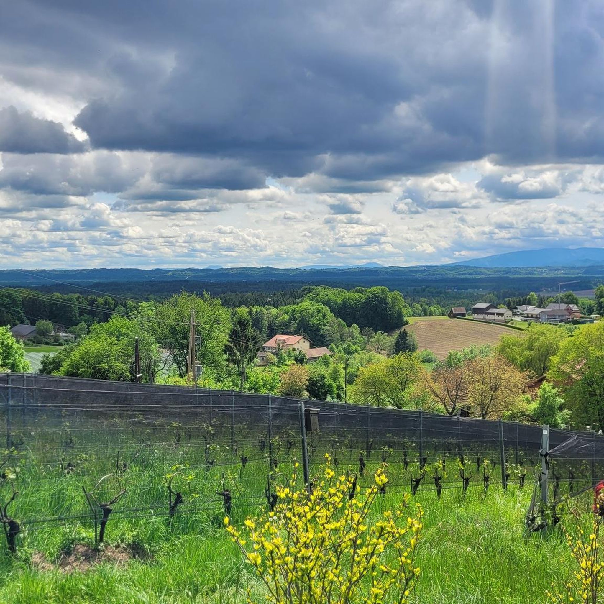
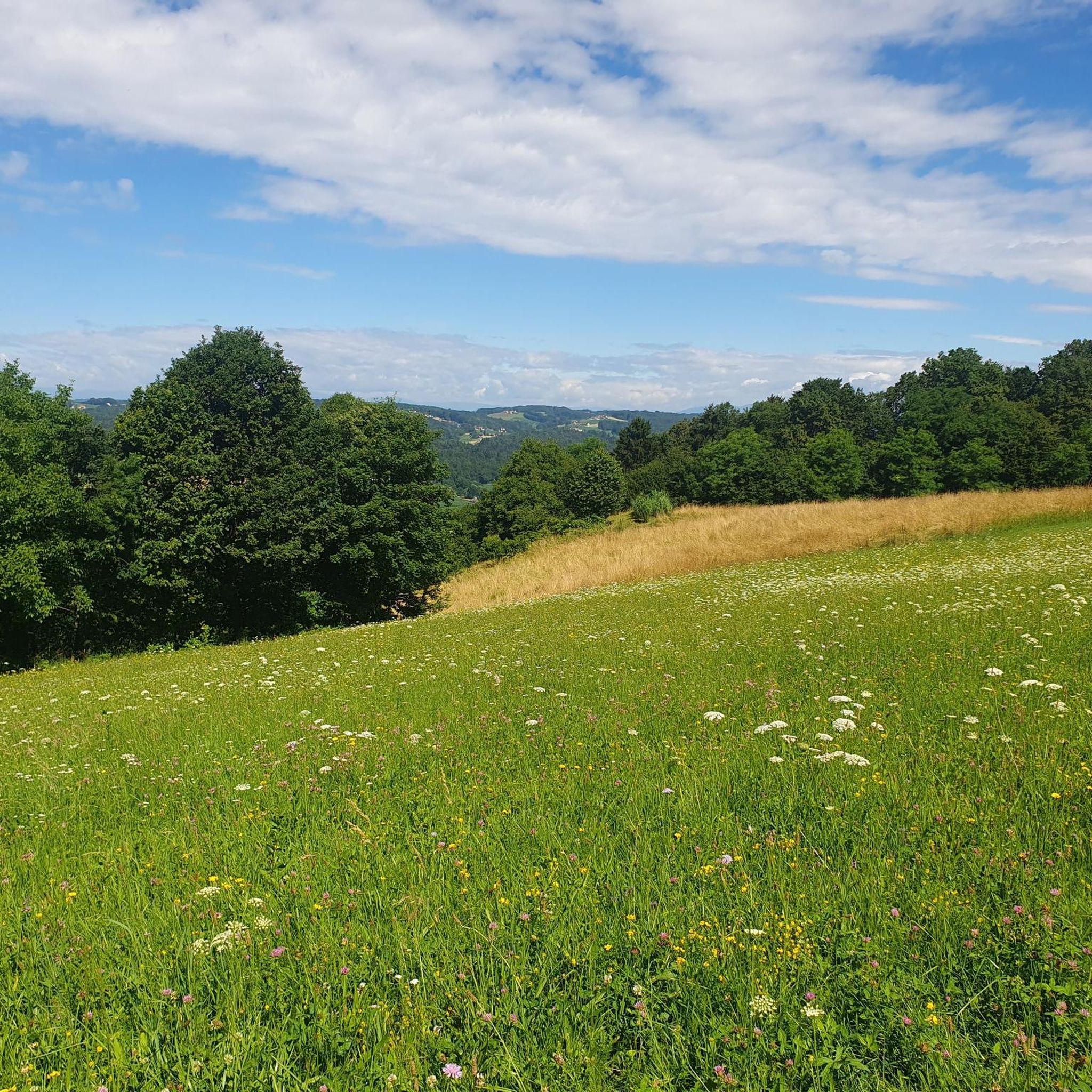
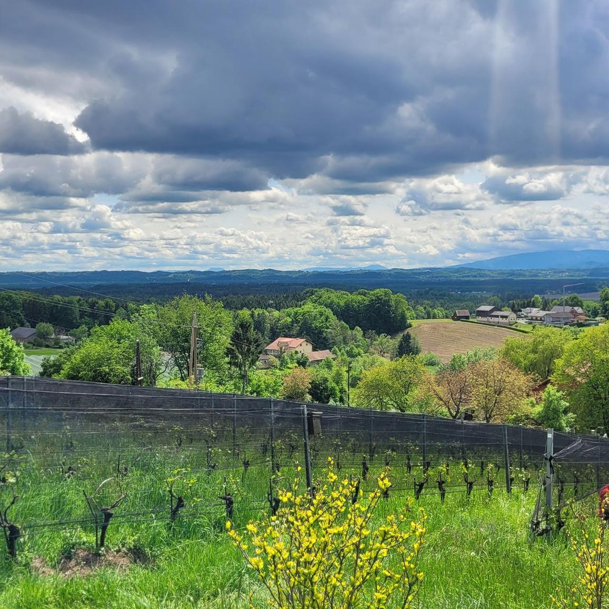
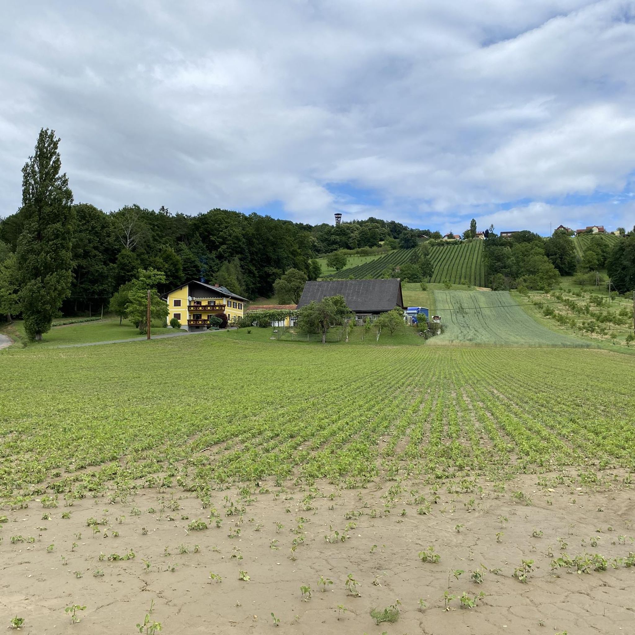
Hiking trails around Mettersdorf am Saßbach traverse a landscape characterized by rolling hills, vineyards, and forested areas in southeastern Styria. The region is shaped by the Saßbach river valley, offering a mix of gentle gradients and elevated viewpoints. These scenic viewpoints Mettersdorf am Saßbach hikes often lead through agricultural land and past small villages.
Best hiking trails around Mettersdorf am Saßbach
- The most popular hiking route is Weinwarte Observation Tower – Kalvarienberg loop from Sankt Peter am Ottersbach, a…
Last updated: July 7, 2026
4.3
(7)
50
hikers
Moderate hike. Good fitness required. Easily-accessible paths. Suitable for all skill levels.
5.0
(1)
6
hikers
5.33km
01:30
110m
110m
Easy hike. Great for any fitness level. Easily-accessible paths. Suitable for all skill levels.

Sign up for free
9
hikers
6.09km
01:37
60m
60m
Easy hike. Great for any fitness level. Easily-accessible paths. Suitable for all skill levels.
4.3
(3)
11
hikers
3.98km
01:08
100m
100m
Easy hike. Great for any fitness level. Easily-accessible paths. Suitable for all skill levels.
4.3
(3)
10
hikers
3.93km
01:08
100m
90m
Easy hike. Great for any fitness level. Easily-accessible paths. Suitable for all skill levels.
Get access to more routes and recommendations from other explorers.
Sign up for free
Already have an account?
Our route recommendations are based on thousands of hikes, rides, and runs completed by other people on komoot.
Start today with a free account
Your next adventure awaits.
Login or Signup

Tips from the Community

Wonderful all-round view over Southeast Styria!
1
0

There is always a festival on Trinity Sunday in front of the chapel in Glojach.
0
0

The hilltop on which the chapel stands is a very special place. If you take the time, you can feel how heaven and earth connect here and how this concentrated power radiates into the surroundings. The builders of the chapel probably knew this too, and in 1831 they built a chapel instead of a small bell tower to protect the area from "thunderstorms" and diseases. In the process, the ecclesiastical building permit, which was only subsequently granted, was even forgotten in the zeal. The chapel got its current form in 1872. The copper portal and the large fresco were created in 1961 by Franz Weiß, who also provided the designs for the colorful glass windows from Schlierbach.
0
0

The Weinwarte Sankt Peter am Ottersbach has been on the Perbersdorfberg since 2004. The 28 meter high wooden observation tower is shaped like a wine glass and from the platform you can see over the Steiner Alpe, the Stradener and Gleichenberger Kogel and the volcanic cone of the Riegersburg. The wine observatory is freely accessible all year round. The Bergler Schlössl inn is only a few meters away.
2
0
Very nice view at the Trinity Chapel in Glojach. On the first of May the wind blowers are always there and play.
1
0

Information on Wikipedia: https://de.wikipedia.org/wiki/Sankt_Peter_am_Ottersbach#Bauwerke
0
0

The observation tower "Weinwarte" in St. Peter am Ottersbach was completed in 2004. At 25 meters altitude you have a magnificent panoramic view.
1
0
Frequently Asked Questions
How many hiking trails are available in Mettersdorf am Saßbach?
The region of Mettersdorf am Saßbach offers a wide selection of hiking opportunities, with over 90 routes available. These range from easy strolls through vineyards to more moderate ascents in the rolling hills.
Are there easy hiking trails suitable for beginners or families in Mettersdorf am Saßbach?
Yes, Mettersdorf am Saßbach has numerous easy trails perfect for beginners and families. Over 50 routes are classified as easy. An example is the Weinwarte Observation Tower – Weinwarte Perbersdorfberg loop from Entschendorfberg, which offers a gentle ascent through vineyards and forests.
What kind of scenery can I expect on hikes around Mettersdorf am Saßbach?
Hiking in Mettersdorf am Saßbach features a diverse landscape of rolling hills, picturesque vineyards, and tranquil forested areas. The Saßbach river valley shapes much of the terrain, providing a mix of gentle gradients and elevated viewpoints. You'll often pass through agricultural land and small, charming villages.
Are there any challenging hikes for experienced hikers in Mettersdorf am Saßbach?
While the region is known for its gentle landscapes, there are a few more challenging options. There are 3 routes classified as difficult, offering more strenuous climbs and longer distances for those seeking a greater challenge.
What are some good circular walks in Mettersdorf am Saßbach?
Many of the trails in Mettersdorf am Saßbach are designed as circular routes, allowing you to start and end at the same point. A popular option is the Schloss Weinburg loop from Siebing, which takes you through varied terrain including open fields and wooded sections.
What can I see along the hiking trails in terms of natural attractions?
The region offers several natural points of interest. You might encounter highlights such as the Oberschwarza Old Weir on the Mur, or the Kaskögerl Volcanic Crater. There are also various lakes and ponds like Lake Röck and the Gelsenplatzl Pond, some with birdwatching spots.
Is parking available at the trailheads in Mettersdorf am Saßbach?
In this rural region, parking is generally available near popular trailheads, village centers, or designated hiking starting points. It's advisable to check local signage upon arrival.
Can I reach hiking trails in Mettersdorf am Saßbach using public transport?
Public transport options, primarily regional buses, connect the villages within Mettersdorf am Saßbach and surrounding areas. While some trailheads might be accessible, it's recommended to check local bus schedules and routes in advance for specific starting points.
Are dogs allowed on hiking trails in Mettersdorf am Saßbach?
Generally, dogs are welcome on hiking trails in Mettersdorf am Saßbach. However, it is important to keep them on a leash, especially when passing through agricultural areas, near livestock, or in populated zones, and to clean up after them.
What do other hikers enjoy the most about hiking in Mettersdorf am Saßbach?
The area is highly rated by the komoot community, with an average score of 4.6 stars from over 250 reviews. Reviewers often praise the scenic vineyard landscapes, the well-maintained paths, and the peaceful atmosphere of the rolling hills.
Are there any viewpoints or observation towers along the trails?
Yes, the region is known for its scenic viewpoints. The Weinwarte Observation Tower – Kalvarienberg loop from Sankt Peter am Ottersbach, for instance, offers excellent views from the Weinwarte Observation Tower, providing panoramic vistas of the surrounding landscape.
Are there options for less crowded hiking trails in Mettersdorf am Saßbach?
Given the extensive network of trails, it's possible to find quieter routes, especially outside of peak tourist times or by exploring some of the less-trafficked paths. The region generally offers a peaceful hiking experience compared to more crowded destinations.
Most popular routes around Mettersdorf am Saßbach
Most popular attractions around Mettersdorf am Saßbach

Get inspired with the komoot mobile app


Explore more
Browse the best Hikes in other regions.
