The best traffic-free bike rides in Washington County
4.7
(72)
589
riders
24
rides
No traffic gravel bike trails in Washington County offer diverse riding experiences across varied terrain. The region features a mix of rolling hills, farmlands, and natural areas, situated between coastal mountains and river valleys. Riders can explore lush forests, vineyards, and natural reserves, providing a range of surfaces from maintained gravel to more challenging double track. This landscape provides an ideal setting for gravel biking without cars, with routes traversing scenic and secluded areas.
Best no traffic gravel bike trails…
Last updated: August 31, 2026
4.8
(12)
79
riders
36.2km
02:31
770m
770m
Hard gravel ride. Very good fitness required. Mostly paved surfaces. Suitable for all skill levels.
4.8
(13)
67
riders
Hard gravel ride. Very good fitness required. Mostly paved surfaces. Suitable for all skill levels.

Sign up for free
4.8
(11)
66
riders
35.5km
02:36
860m
860m
Hard gravel ride. Very good fitness required. Mostly paved surfaces. Suitable for all skill levels.
5.0
(1)
24
riders
Hard gravel ride. Very good fitness required. Mostly paved surfaces. Suitable for all skill levels.
5.0
(1)
16
riders
47.3km
02:55
790m
790m
Hard gravel ride. Very good fitness required. Mostly paved surfaces. Suitable for all skill levels.
Get access to more routes and recommendations from other explorers.
Sign up for free
Already have an account?
Our route recommendations are based on thousands of hikes, rides, and runs completed by other people on komoot.
Start today with a free account
Your next adventure awaits.
Login or Signup


Tips from the Community

This trailhead marks a popular route for hikers in the area. It is .3 miles from the Wild Cherry Trail, .9 miles to the Dogwood Trail and 1.4 miles to the Alder Trail. If you head west, all of these connector trails reach the Wildwood Trail, which offers ample opportunities to create loop variations. It is important to note that parking is limited, especially on the weekends.
0
0

One hell of a climb up here from US 30 on the South end - but worth it! Great views and a decent crossing (once you climb to the bridge itself).
0
0

The St. Johns Bridge is a steel suspension bridge that stretches across the Willamette River. It has a total length of 2,067 feet, and is the tallest bridge in Portland. Construction began just before the Stock Market Crash of 1929, providing crucial employment to many local residents during the Great Depression.
0
0

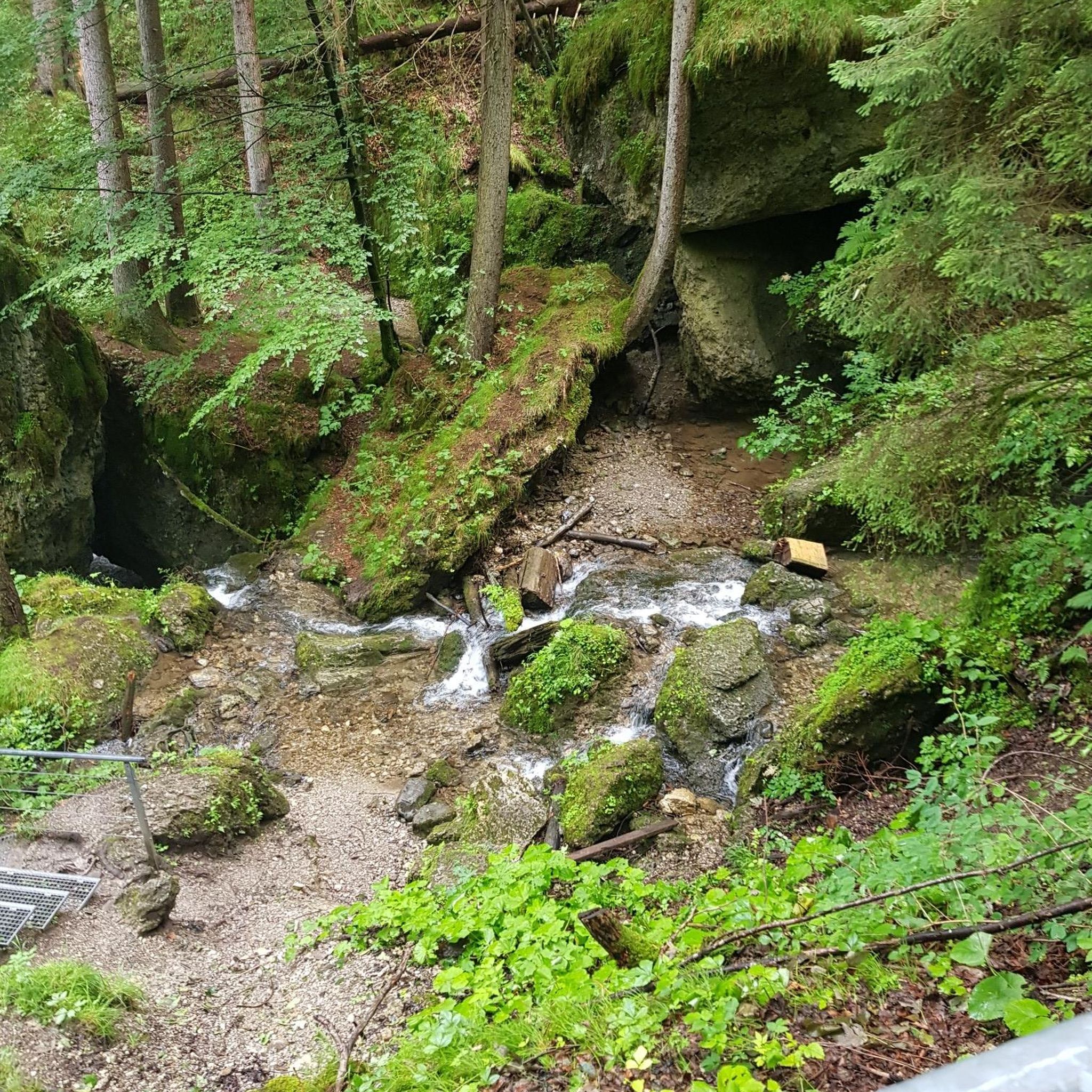
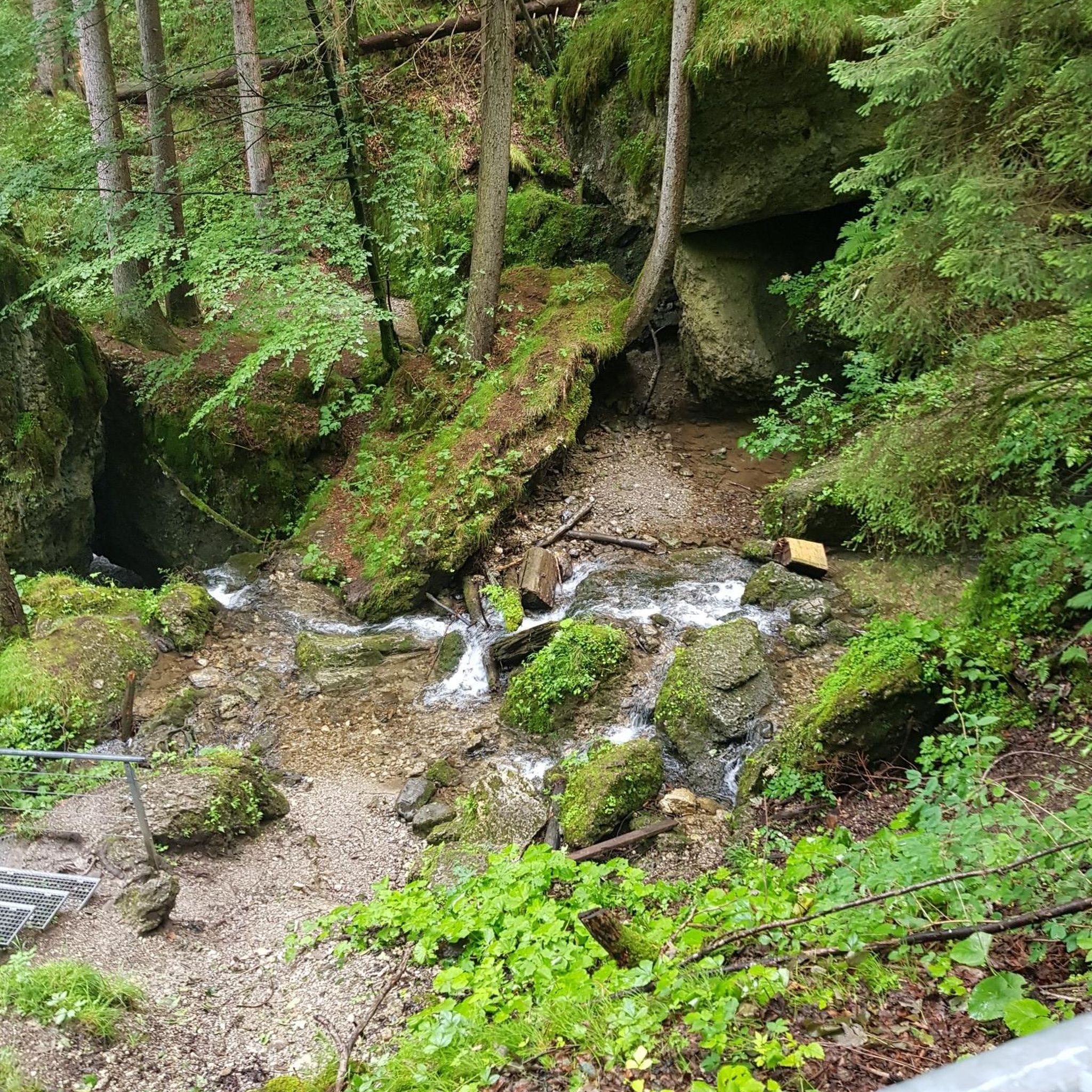
This heavily wooded nature preserve is part of a much larger greenbelt complex. Keep an eye out for large wildlife like deer as you pedal past, and an ear out for evidence of songbirds; both thrive in this habitat.
0
0

This trail is a classic in Forest Park. It is popular with runners as well as walkers and cyclists. The trail is well maintained and runs through the forest from start to end, which makes it a great option for hot days.
1
0
This junction connects Wildwood Trail and Leif Erickson Drive. Both are very popular thoroughfares in the park that connect with various trails offering several options to explore the area.
1
0
This trailhead marks a popular route for hikers in the area. It is .3 miles from the Wild Cherry Trail, .9 miles to the Dogwood Trail and 1.4 miles to the Alder Trail. All of these connector trails reach the Wildwood Trail by hiking west and creating several loop variations. Parking is limited, especially on the weekends.
0
0
This parking lot fills up on weekends as there are only eight spaces in the lot. Additional parking is available on the streets surrounding the park and on Thurman Street near the bridge. At the east end of the bridge, there is a set of stairs that lead down to the park. Lower Macleay Trail connects to the over 30-mile-long Wildwood Trail, which provides access to Pittock Mansion to the south for fantastic views of the city. To the north, Wildwood Trail connects to various trails throughout the length of Forest Park.
1
0
Frequently Asked Questions
How many no-traffic gravel bike trails are available in Washington County?
There are over 20 traffic-free gravel bike trails in Washington County, offering a variety of distances and elevations for different skill levels. These routes are designed to keep you away from cars, providing a peaceful riding experience.
What do other gravel bikers enjoy most about the no-traffic routes in Washington County?
The komoot community highly rates the traffic-free gravel routes in Washington County, with an average score of 4.35 stars. Riders often praise the quiet, scenic paths through forests and natural areas, appreciating the escape from vehicle noise and the opportunity to immerse themselves in nature.
Are there any easy, no-traffic gravel bike routes suitable for beginners in Washington County?
While many routes in Washington County offer challenging terrain, the region also provides options for those seeking a more relaxed ride. Look for routes that feature less elevation gain and smoother gravel surfaces. The Tualatin Valley Scenic Bikeway, while not exclusively gravel, offers sections with scenic views and low traffic, connecting to other natural areas.
Are there any circular no-traffic gravel bike routes in Washington County?
Yes, many of the no-traffic gravel routes in Washington County are designed as loops, allowing you to start and end at the same point. For example, the Northwest Leif Erikson Drive – Leif Erikson Drive loop from Linnton offers a challenging 35.5 km ride through forested areas, ensuring you return to your starting point without retracing your steps.
What kind of scenery can I expect on these no-traffic gravel trails?
Washington County's no-traffic gravel trails often traverse diverse landscapes, including lush forests, rolling hills, and natural reserves. You can expect views of the Coastal Mountains, farmlands, and river valleys, especially in the Tualatin Valley region. Many routes pass through areas rich in wildlife and natural beauty.
Are there any family-friendly no-traffic gravel biking options in Washington County?
For families, consider routes that are shorter and have less elevation. While specific 'family-friendly' gravel routes are not explicitly listed, areas like the Tualatin Hills Nature Park offer accessible trails that can be incorporated into a low-traffic ride. Always check the route details for distance and elevation to ensure it matches your family's capabilities.
What attractions or points of interest can I find along the no-traffic gravel routes?
Many routes offer access to natural attractions. For instance, you might find yourself near the Jackson Bottom Wetlands Preserve, a haven for wildlife, or the serene Fernhill Wetlands. The Tualatin Valley Scenic Bikeway, which connects to some gravel sections, also offers scenic views of the region's natural beauty.
Are there any hidden gem no-traffic gravel bike trails in Washington County?
Washington County is rich with less-traveled gravel roads, particularly those on timber company land, offering a variety of surfaces from paved to more rugged dirt double tracks. Exploring routes like the Gravel loop from Dixie Mountain can lead you to quiet, forested paths away from the crowds, providing a true backcountry adventure.
What is the best time of year to ride no-traffic gravel trails in Washington County?
The best time to ride is generally spring through fall when the weather is milder and trails are less muddy. Spring brings wildflowers, while fall offers vibrant foliage. Some routes may be accessible in winter, but conditions can be variable, with potential for rain and colder temperatures, especially on unpaved sections.
Are there any no-traffic gravel routes that offer significant elevation gain for a challenging ride?
Absolutely. Washington County offers several challenging no-traffic gravel routes with substantial elevation gain. The Gravel loop from North Plains, for example, covers nearly 70 km with over 1100 meters of climbing, providing a demanding workout and rewarding views through the region's hilly terrain.
Can I find parking access near the no-traffic gravel trails in Washington County?
Yes, many of the trailheads and starting points for these routes offer designated parking areas. It's always recommended to check the specific route details on komoot for information on parking availability at the suggested start points, such as those for the Northwest Murphy Gravel Road – Sunset Ridge Nature Reserve loop from North Plains.
Most popular routes in Washington County
Most popular attractions in Washington County

Get inspired with the komoot mobile app


Didn’t find what you were looking for?
Check out more Gravel rides throughout Washington County below and find the perfect route in your destination.
Explore more
Browse the best Gravel rides in other regions.
