The best hikes from bus stations in Plymouth County
4.7
(135)
1,730
hikers
20
hikes
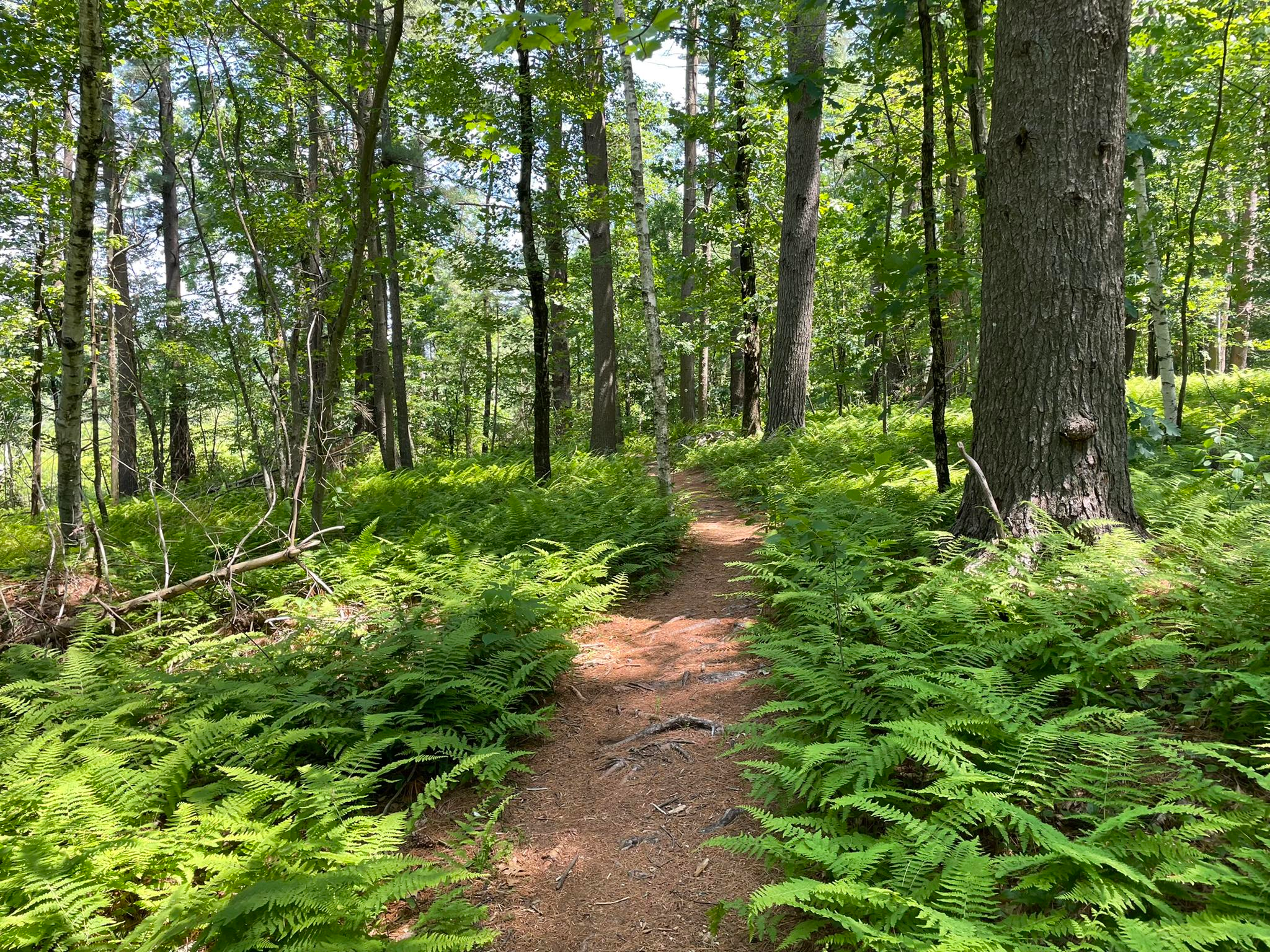
Bus station hiking trails in Plymouth County, Massachusetts, offer access to a diverse landscape characterized by woodlands, freshwater ponds, and coastal areas. The region features varied terrain, including pine barrens, former cranberry bogs, and coastal paths along Cape Cod Bay. Elevation changes are generally gentle, making many areas accessible for a wide range of hikers.
Best bus station hiking trails in Plymouth County
- The most popular bus station hiking route is Lower Neponset River Trail, a 1.9 miles (3.1…
Last updated: August 31, 2026
1
hikers
3.07km
00:47
20m
10m
Easy hike. Great for any fitness level. Easily-accessible paths. Suitable for all skill levels.
4.5
(4)
34
hikers
24.0km
07:10
700m
700m
Hard hike. Very good fitness required. Easily-accessible paths. Suitable for all skill levels.

Sign up for free
5.0
(1)
47
hikers
4.28km
01:05
10m
10m
Easy hike. Great for any fitness level. Easily-accessible paths. Suitable for all skill levels.
5.0
(2)
25
hikers
Moderate hike. Good fitness required. Easily-accessible paths. Suitable for all skill levels.
10
hikers
5.86km
01:31
30m
30m
Easy hike. Great for any fitness level. Easily-accessible paths. Suitable for all skill levels.
Get access to more routes and recommendations from other explorers.
Sign up for free
Already have an account?
Our route recommendations are based on thousands of hikes, rides, and runs completed by other people on komoot.
Start today with a free account
Your next adventure awaits.
Login or Signup





Tips from the Community

Reading the names on the gravestones is like a journey through history books. Visit the cemetery and see for yourself. And don't be afraid to go to the trouble of Googling some of the names.
1
0

Nice view to Boston. There are some differnt place with awsome views
0
0

The historic Granary Burying Ground was established in 1660 and is named after the granary that once stood next door. For detailed information visit: https://www.thefreedomtrail.org/trail-sites/granary-burying-ground
2
0
The 'Quincy Market' was built in the 1820s next to the 'Faneuil Hall' to create a larger retail space after the founding of Boston. From the beginning, the market was used primarily as a shopping center for fruit, vegetables and groceries. The 'Quincy Market', together with 'Faneuil Hall', 'North Market' and 'South Market', is generally referred to as the 'Faneuil Hall Marketplace'.
2
0
Conceived in the 1950s, the Freedom Trail is an iconic symbol of Boston. Its red brick path winds through some of the oldest parts of the city and takes visitors to some of Boston's most significant historical sites. Information about the Freedom Trail can be found at: https://www.nps.gov/thingstodo/walk-the-freedom-trail.htm https://www.thefreedomtrail.org/trail-sites
2
0
The ‘Old South Meeting House’ was built in 1729 by the Puritan founding community. Before the revolt against the British colonial power, the place became a meeting place for discussions and protests. On the night of December 16, 1773, around 5,000 settlers gathered there to protest against a tea tax. This led to the “Boston Tea Party,” in which a large amount of imported tea was destroyed on ships in the harbor. As punishment, the colonial power occupied Boston, closed the harbor and restricted public meetings. The ‘Old South Meeting House’ was used by the British troops as a stable. The British withdrew from Boston in March 1776. However, it was not until 1783 that the community was able to use ‘Old South’ as a place of worship again. https://www.nps.gov/bost/learn/historyculture/osmh.htm
2
0
The Town House, built in 1713, served as a trading exchange on the ground floor. The second floor served as the seat of the colonial and later state government in the 18th century. From the balcony of this building, Bostonians heard the royal proclamations from London; it was also here that the Declaration of Independence, announcing the birth of a new nation, was first signed. https://www.nps.gov/bost/learn/historyculture/osh.htm
2
0
The Boston Common is a public park in downtown Boston. The Common was founded in 1634 and today covers 20 acres of land. The area was used for various purposes until it was officially converted into a public park in the 1830s and grazing was banned. https://friendsofthepublicgarden.org/our-parks/the-common/
2
0
Frequently Asked Questions
How many bus-accessible hiking trails are available in Plymouth County?
There are 27 bus-accessible hiking trails in Plymouth County featured in this guide. These routes offer a variety of experiences, from easy strolls to more challenging treks, all reachable via public transport.
What types of landscapes can I expect on bus-accessible hikes in Plymouth County?
Plymouth County's bus-accessible trails offer a diverse range of landscapes. You'll find routes traversing dense woodlands, serene freshwater ponds, and picturesque coastal areas with views of Cape Cod Bay. Many trails also incorporate former cranberry bogs, now reverting to natural states like white cedar swamps, providing unique ecosystems to explore.
Are there any easy, family-friendly bus-accessible hikes in Plymouth County?
Yes, there are 15 easy trails accessible by bus, many of which are suitable for families. For example, the Deer Island Loop Trail offers a gentle, scenic walk. The region's generally gentle elevation changes make many areas accessible for a wide range of hikers, including those with children.
Can I find circular hiking routes that are accessible by bus?
Yes, many of the bus-accessible trails in Plymouth County are designed as circular routes, allowing you to start and end your hike at the same point, often near a public transport stop. This guide features several such options, including the Head Island Causeway Trail – Admiral David Farragut Statue loop from South Boston, which offers a pleasant loop experience.
What are some notable natural attractions or viewpoints I can see along these trails?
Many bus-accessible trails lead to or pass by significant natural features. You might encounter highlights such as East Head Pond within Myles Standish State Forest, or enjoy coastal vistas from areas like View of Hingham Harbor from Worlds End Reservation. The region is rich with ponds and coastal views.
Are there any historical landmarks or points of interest near bus-accessible trails?
Yes, Plymouth County is steeped in history. Some trails may bring you close to significant sites like Plymouth Rock or the Mayflower II, offering a blend of natural beauty and historical exploration. Always check the specific route details for nearby attractions.
What do other hikers say about the bus-accessible trails in Plymouth County?
The bus-accessible trails in Plymouth County are highly rated by the komoot community, with an average score of 4.7 out of 5 stars from 139 ratings. Reviewers often praise the accessibility, the variety of landscapes, and the peaceful natural environments found along these routes.
Are dogs allowed on bus-accessible hiking trails in Plymouth County?
Dog policies vary by specific park or conservation area. While many areas in Plymouth County are dog-friendly, it's crucial to check the regulations for each trail or park you plan to visit. Always keep dogs on a leash and clean up after them to ensure a pleasant experience for everyone.
What is the best time of year to hike the bus-accessible trails in Plymouth County?
The bus-accessible trails in Plymouth County offer enjoyable hiking experiences throughout the year. Spring brings blooming wildflowers, summer provides lush greenery, and fall showcases vibrant foliage. Even winter hiking can be beautiful, especially after a fresh snowfall, though some trails may be less maintained. Always check weather conditions before heading out.
Are there any challenging bus-accessible hikes for experienced hikers?
Yes, for those seeking a more strenuous experience, there are 2 difficult trails accessible by bus. The Skyline Trail, for instance, offers a significant distance and elevation gain, providing a rewarding challenge for experienced hikers.
Where can I find more information about public transport options to these trailheads?
For detailed information on bus routes and schedules that serve trailheads in Plymouth County, you should consult the GATRA (Greater Attleboro Taunton Regional Transit Authority) website or the Plymouth Area Link service. These services are key to accessing many of the trails featured in this guide.
Most popular routes in Plymouth County
Most popular attractions in Plymouth County

Get inspired with the komoot mobile app


Didn’t find what you were looking for?
Check out more Hikes throughout Plymouth County below and find the perfect route in your destination.
Explore more
Browse the best Hikes in other regions.
