The best family-friendly hikes and walks in Carter County
7
hikers
4
hikes
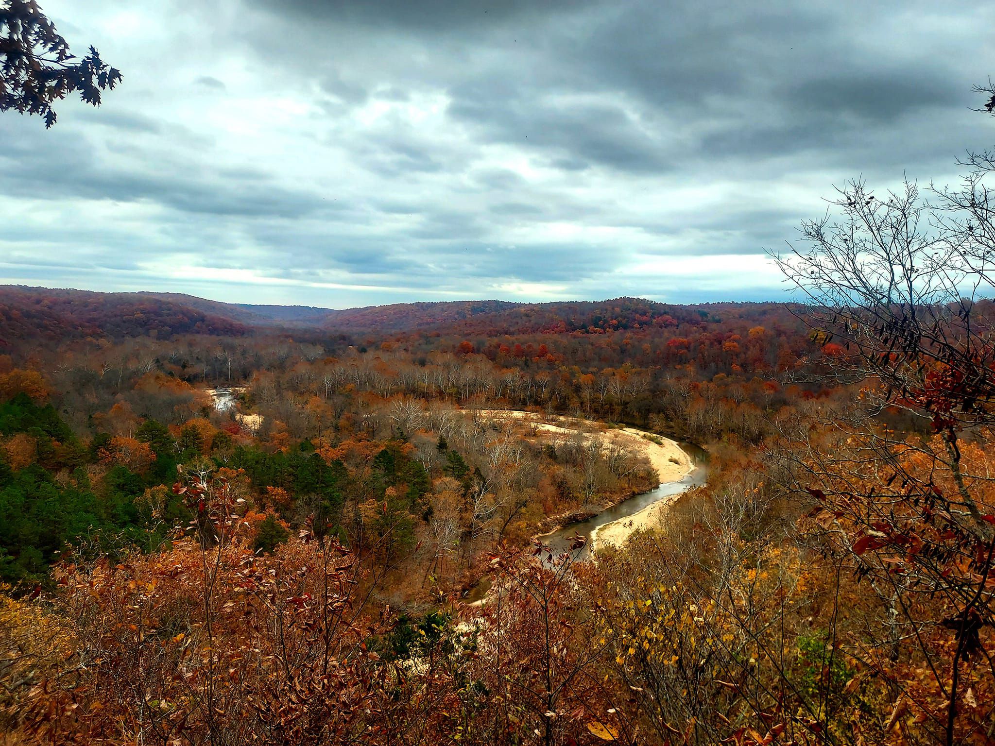
Family friendly hiking trails in Carter County are characterized by diverse natural landscapes, including sections of the Appalachian Trail, the Roan Highlands, and the Cherokee National Forest. The region features a mix of forested paths, river bluffs, and areas around Watauga Lake. Elevations vary, offering routes from gentle lakeside walks to more challenging mountain trails, with numerous streams and waterfalls.
Best family friendly hiking trails in Carter County
- The most popular family friendly hiking route is Rocky Falls and Klepzig…
Last updated: October 10, 2026
1
hikers
5.03km
01:21
50m
80m
Embark on an easy hike along the Rocky Falls and Klepzig Mill Trail, a 3.1-mile (5.0 km) route that guides you through diverse woodlands and open fields. You will gain…
3
hikers
10.00km
02:41
120m
120m
Embark on a moderate hike along the Ozark Trail: Current River Section, a 6.2-mile (10.0 km) route that takes about 2 hours and 40 minutes to complete. You will gain…

1
hikers
10.8km
02:56
160m
160m
Hike the moderate 6.7-mile Chubb Hollow and Spring Valley Loop in Ozark National Scenic Riverways, featuring Big Spring and pine-oak forests
2
hikers
7.77km
02:12
160m
160m
Moderate hike. Good fitness required. Easily-accessible paths. Suitable for all skill levels.
Our route recommendations are based on thousands of hikes, rides, and runs completed by other people on komoot.
Start today with a free account
Your next adventure awaits.
Popular around Carter County
Other adventures in Carter County

Tips from the Community

The 3,966 acre cultural district is made up of steep slopes and valleys defined by the Current River, and Big Spring. In addition to the terrain there are 26 structures many of which are from the Civilian Conservation Corps era.
0
0
One of the largest springs in America and the world. The spring flows from the base of a limestone bluff. It comes out with an aqua-blue color and disipates into crystal clear as it moves through a short tributary and into the Current River.
0
0
A natural cascading waterfall that flows over molten rock that erupted to the surface 1.5 billion years ago. The falls expeience a heavy flow after it rains. The site is very popular and has bathrooms, picnic tables, and fire grills.
0
0
This is a small turbine mill built in 1928 by Walter Klepzig. The mill is located in a beautiful setting on Rocky Creek that is surrounded by a shut-in canyon that is formed by the rock in the creek.
0
0
Frequently Asked Questions
How many family-friendly hiking trails are available in Carter County?
Komoot features a selection of family-friendly hiking trails in Carter County, with options ranging from easy strolls to more moderate adventures. You'll find a variety of paths suitable for different ages and activity levels.
Are there any easy, short hikes suitable for young children or strollers?
Yes, for a relatively easy and short hike, consider the Rocky Falls and Klepzig Mill Trail, which is just over 5 kilometers long and features a gentle elevation gain. The Tweetsie Trail, a 10-mile crushed gravel rail-trail connecting Johnson City and Elizabethton, is also excellent for families and strollers, offering a flat and accessible surface.
Can I find trails with waterfalls in Carter County?
Absolutely! Carter County is rich with beautiful waterfalls. The Rocky Falls and Klepzig Mill Trail offers a chance to see a lovely cascade. Other notable waterfalls in the region include Laurel Falls (accessible via Dennis Cove), Laurel Fork Falls in the Pond Mountain Wilderness, and the picturesque Blue Hole Falls.
Are there any circular routes for family hikes?
Yes, if you prefer loop trails, Carter County offers options like the Chubb Hollow and Spring Valley Loop, which is a moderate 10.8-kilometer route. Another great choice is the Big Spring Lodge – Big Spring loop, a moderate 8.3-kilometer trail.
What kind of natural features or landmarks can we expect to see on family hikes?
Carter County, known as "Tennessee's Mountain Playground," offers diverse landscapes. You can expect lush forests within the Cherokee National Forest, stunning mountain vistas from areas like the Roan Highlands, and serene lakeside views around Watauga Lake. Many trails also feature beautiful rivers and streams.
Are dogs allowed on the family-friendly hiking trails?
Many trails in Carter County, especially those within the Cherokee National Forest and Roan Mountain State Park, are dog-friendly, typically requiring dogs to be on a leash. However, it's always best to check specific trail regulations before heading out, as rules can vary.
What is the best time of year to go hiking with family in Carter County?
Spring and fall are generally considered the best times for family hiking in Carter County. Spring brings blooming wildflowers and comfortable temperatures, while fall offers spectacular foliage. Summer can be warm, but higher elevation trails provide cooler air. Winter hiking is possible, but some trails may have snow or ice, especially at higher altitudes.
Are there any trails that offer historical insights?
Yes, the region blends natural beauty with history. The Tweetsie Trail, for example, follows an old railroad bed and offers insights into the area's past. Sycamore Shoals State Historic Park also features trails and historical context related to the American Revolution, including a reconstruction of Fort Watauga.
What are some moderate family-friendly hiking options?
For families looking for a bit more challenge, moderate trails include the Ozark Trail: Current River Section, which is about 10 kilometers long, and the Chubb Hollow and Spring Valley Loop, at 10.8 kilometers. These routes offer varied terrain and slightly longer distances suitable for active families.
Is parking readily available at trailheads?
For many popular trailheads in Carter County, especially those within state parks or national forest areas, parking is generally available. However, during peak seasons or on weekends, lots can fill up quickly. It's advisable to arrive early, especially for well-known spots like those near Roan Mountain State Park or the Appalachian Trail access points.
What do other hikers enjoy most about family hiking in Carter County?
Hikers often praise Carter County for its stunning natural beauty, particularly the diverse landscapes ranging from dense forests to open grassy balds and picturesque waterfalls. The variety of trails ensures there's something for every family, and many appreciate the well-maintained paths and opportunities for wildlife spotting.
Most popular attractions in Carter County

Get inspired with the komoot mobile app


Explore more
Browse the best Hikes in other regions.
